

Geophysical survey at Castell Dinas Bran, Denbighshire
Sum awarded: £1,825
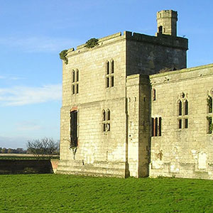
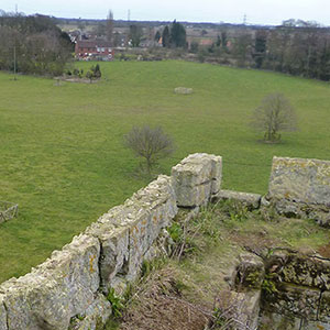
Castell Dinas Bran stands on top of a hill near Llangollen, high above the Welsh countryside in the valley of the River Dee. The stone castle is an outstanding example of castles built by the Welsh princes before Edward I conquered Wales in the late 13th century.
The castle likely reused the site of a prehistoric Iron Age hillfort. The historical record indicates that the first castle was probably a timber structure built in the 12th century, but it was destroyed by fire. It was most likely done by Gruffudd ap Madog, Prince of Powys, who reestablished the castle in stone in about 1270.
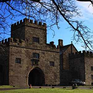
The second Castell Dinas Bran met a dramatic end in 1277. With an English army advancing on northern Wales the garrison burnt the castle to prevent its use by the invaders. Following Edward I’s conquest of Wales, Castell Dinas Bran was granted to John de Warenne, Earl of Surrey, but rather than rebuilding the hilltop castle he established a new fortification 16 miles away at Holt.
The geophysical survey to be carried out at Castell Dinas Bran seeks to find the location of buildings within the castle and to improve our understanding of the site.
Two methods will be used: a resistivity survey over 1.5ha and a magnetometry survey over 1ha. The use of both geophysical survey approaches within the castle should allow us to provide more detailed information about the interior and what it contained.
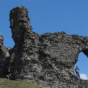
The stone remains of Castell Dinas Bran are dramatically located on top of a hill which has been used since at least the Iron Age. The Welsh castle was built in the 13th century on the site of an Iron Age hillfort. The surveys will help understand how the castle effected the prehistoric landscape. The castle featured in the wars between Edward I and Llywelyn ap Gruffydd, and was attacked and burnt by the Welsh in 1277 when they held it and subsequently attacked by the English the same year. It was not repaired and soon fell out of use.
Dinas Bran Geophys survey report (PDF 5MB)
While we have funded some photogrammetry surveys in the past, the model below is not one of ours. All the same, it is an excellent model for getting a feel of the castle. It shows the ‘keep’ – the core of the medieval castle – and the earthworks of the Iron Age hillfort extend beyond the limits of the model.
Castle Studies Trust
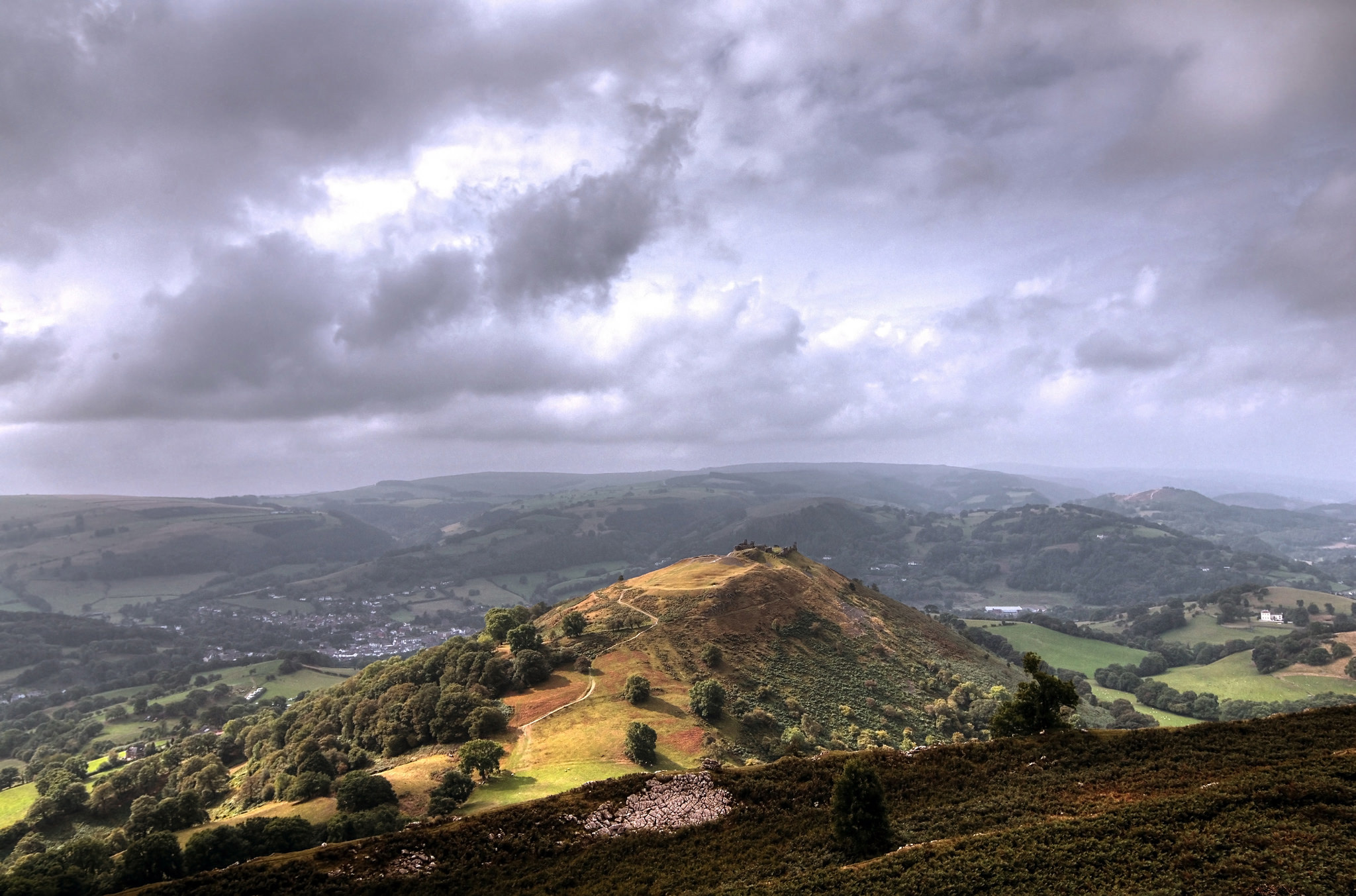
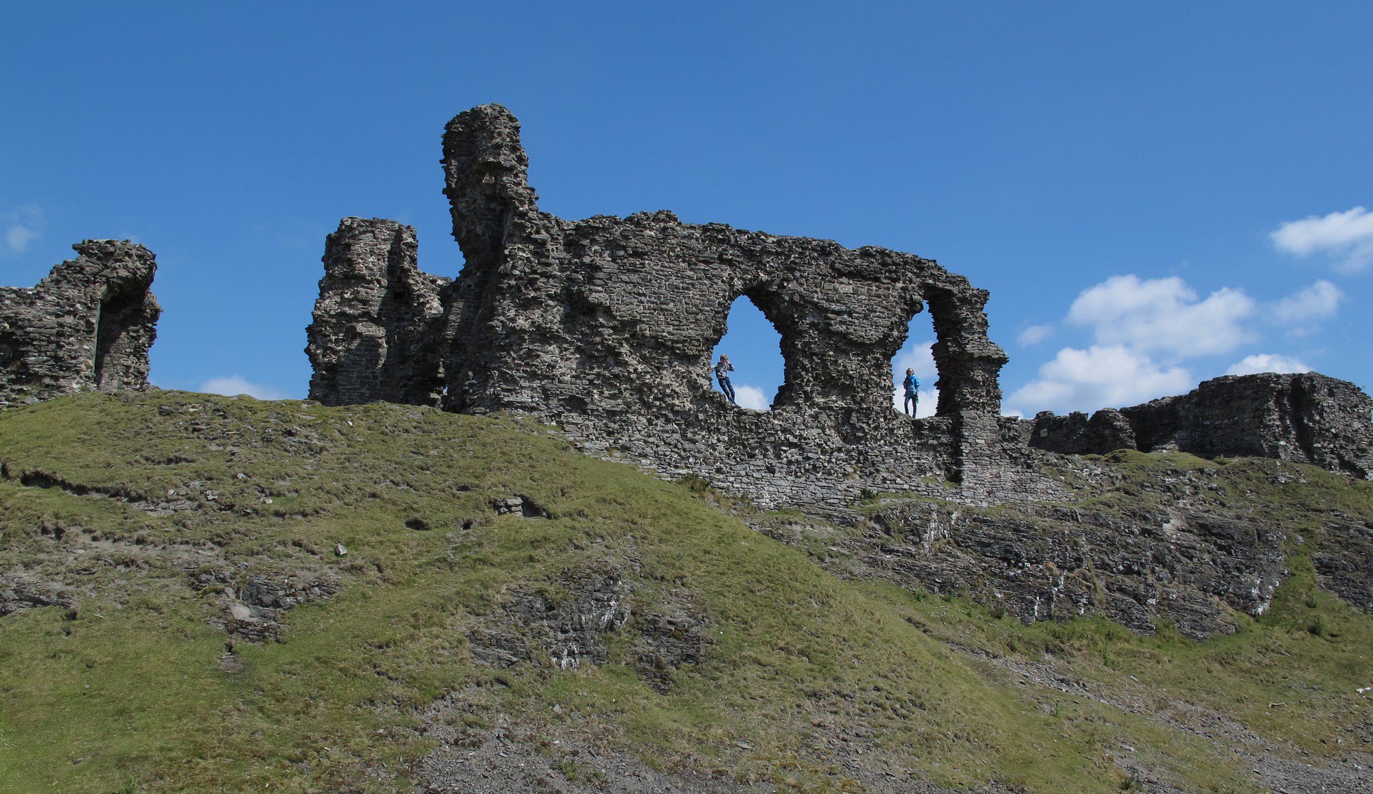
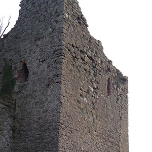
Image 2: Eva Mostraum, CC-by-NC-SA