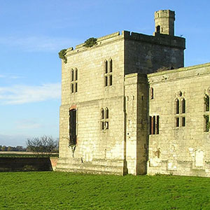
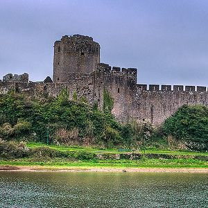


Pembroke Castle Geophysical Investigation
Sum awarded: £4,990
To conduct a geophysical survey of the inner and outer wards of Pembroke castle using Magnetometry, Resistivity and Ground Penetrating Radar (GPR), to provide further information on the structures seen as parchmarks during aerial photographic runs by Toby Driver in 2013, and any additional information on former structures and disturbances within the castle. This will give a clearer indication of the nature of the castle’s below-ground archaeology, and assist the interpretation of its development over time. By using three different geophysical techniques it is hoped that the most amount of information will be gathered and that the chances of features avoiding detection are reduced.
The project is led by Neil Ludlow with the Dyfed Archaeological Trust. A detailed report will be prepared, with summaries submitted to relevant academic journals.
Geophysical Survey (3.8MB PDF)

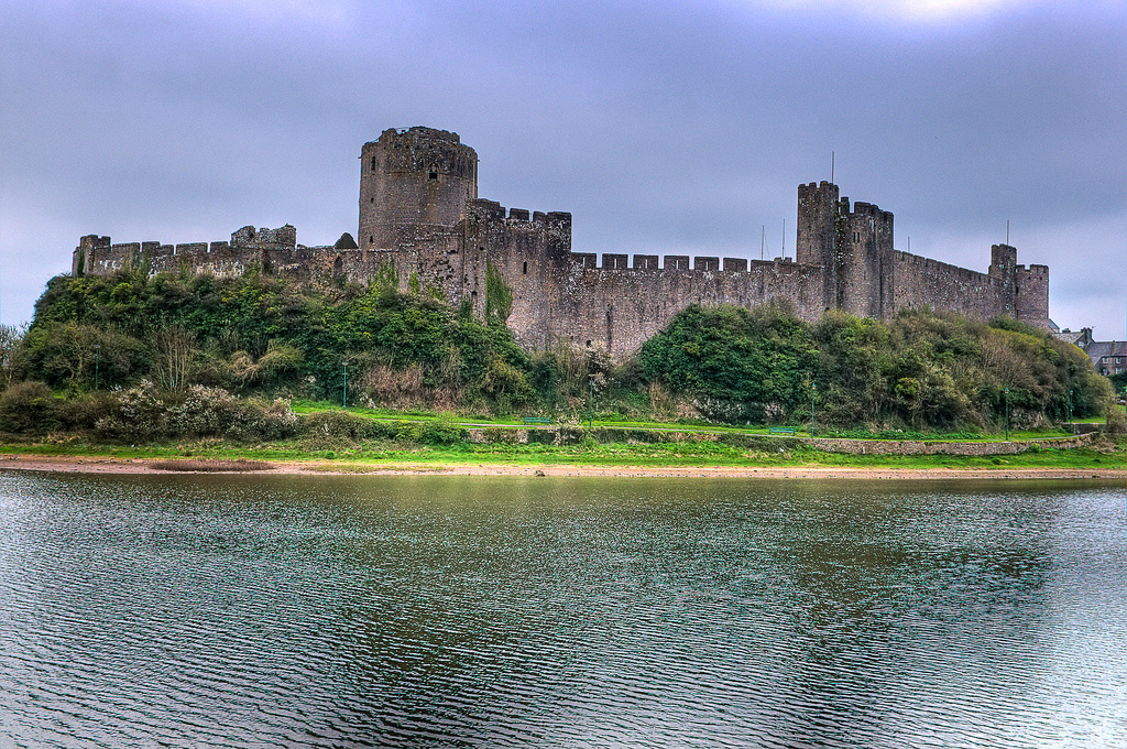
Image 2: Phil Price