The deadline for grant applications passed on 30th November. We’re going through the various projects now. Altogether the 13 projects, coming from England, Ireland, and Scotland are asking for over £88,000. They cover not only a wide period of history but also a wide range of topics. In a little more detail, here are the applications we’ve received:
Bamburgh, Northumberland
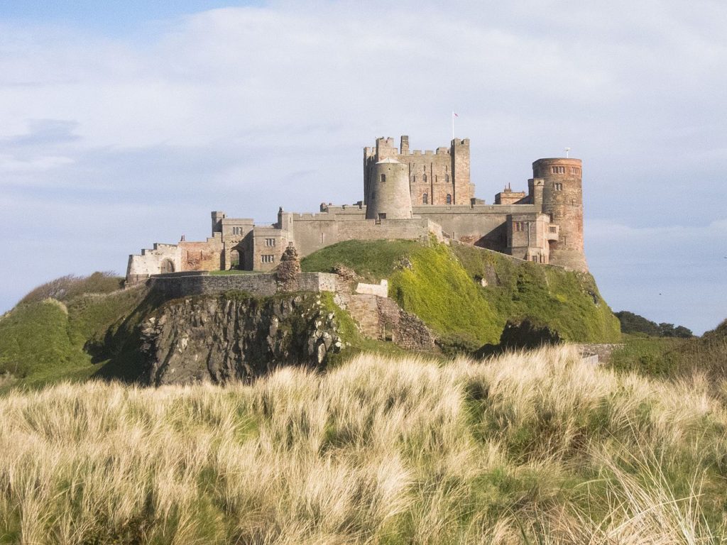
The main aim is to recover evidence for the base natural topography around the approach to the main gate of the once royal castle, from the area of the medieval village, and explore how this was altered, presented and exploited to create a sense of theatre for visitors to the site.
Berkhamsted, Hertfordshire
A geoarchaeological auger survey of the moats that surround this former royal castle and palace of Thomas Becket. The survey aims to answer such questions as what were the moats original profiles, when were the moats filled and how do the two moats compare with each other.
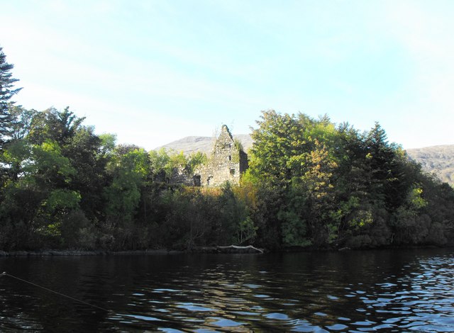
Dunollie, Argyll
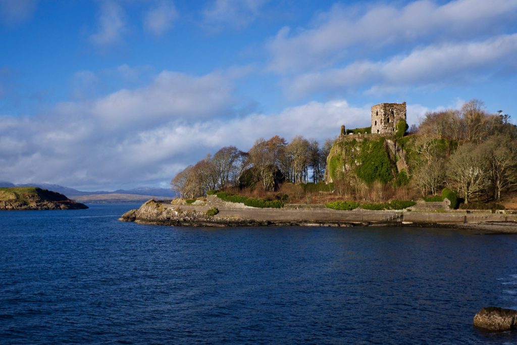
To try and understand the date of the construction of the castle owned by the MacDougall clan through various through buildings and materials analysis including radiocarbon dating and mortar analysis.
Fraoch Eilean, Loch Awe
To try and understand the date of the construction of the former royal castle through various through buildings and materials analysis including radiocarbon dating and mortar analysis.
Hoghton, Lancashire
The aim of the project to continue the work the CST funded in 2019 with excavations and building survey. Further excavations will try and understand the purpose of the structures found in the 2019 excavation season and if they were related to the original great tower.
Holme Pierpont, Nottinghamshire
To build up an understanding of this late medieval great house, never previously researched. The work will include a mixture of desk research, building survey and geophysical survey of the parkland surrounding it. The house is the most complete of the three late medieval brick-built houses in Nottinghamshire.
Lincoln, Lincolnshire
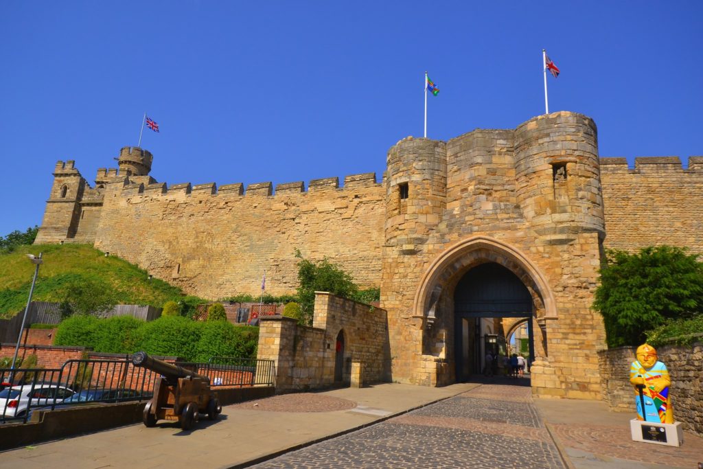
To develop a reconstruction drawing of the castle as it would have appeared in the second half of the 12th century. Lincoln Castle was founded by William the Conqueror in the late 11th century.
Shrewsbury, Shropshire
To fund a second year of excavation, this time to understand the rampart of the inner bailey. The geophysical survey carried out in the 2019 suggested there could be remains of buildings there, possibly even a late Saxon church. Shrewsbury was a very important border castle up until the 13th century and frequently used as a base for English raids into Wales.
Sowing the Seeds
The aim of the project is to try and understand better everyday life in castles by seeing if there are any surviving plants at four Irish castles that were planted, grown and cared for by medieval people. The research will involve ecological surveys at each location.
Strongholds of Wessex
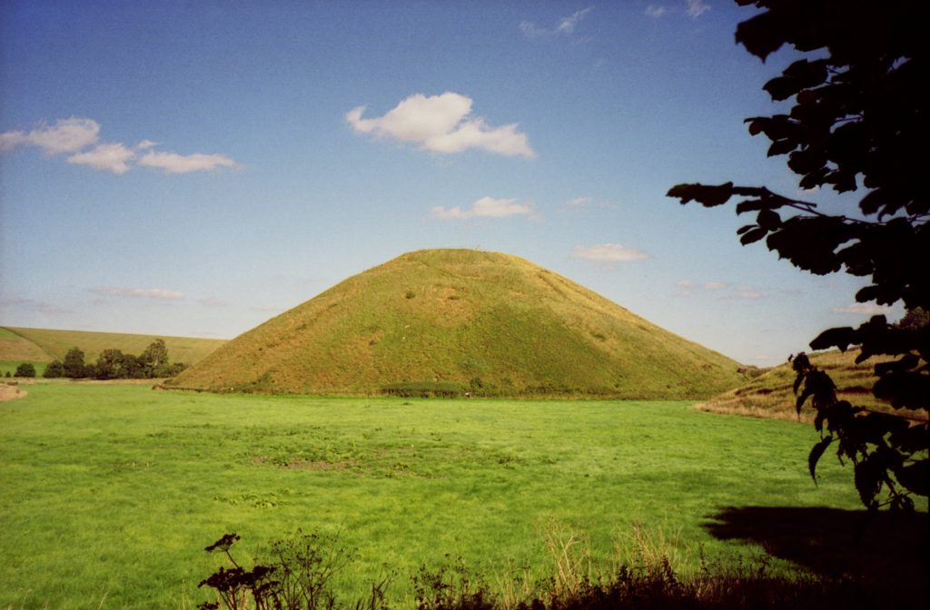
The aim of the project is to understand the military organisation of the northern part of Wessex (Wiltshire and West Oxfordshire) from the transition from Saxon to Norman rule between the 9th and 12th centuries. The work will involve documentary research, landscape and place name surveys. Sites examined will include Castle Combe, Cricklade and Silbury Hill.
The Wirk, Orkney
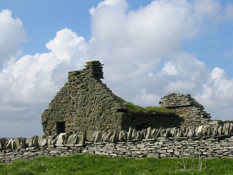
Could the Wirk be a Norse castle? Based on the island of Rousay, this stone tower is situated close to the old parish church and recently discovered Norse Hall. However, no one knows what this tower was used for or even when it was built. The work would involve a geophysical survey of the surrounding area as well as two trial trenches to try and find dating evidence.
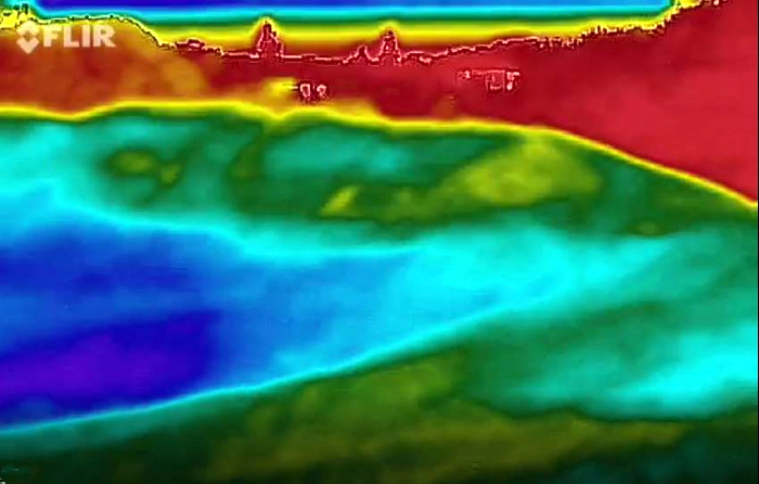
Thermal Imaging of Castles
To test how useful thermal imaging could be in understanding castles. The thermal survey using a FLIR camera of two castle facades in different climates. within the UK—Caisteal Uisdein, on the coast of Loch Snizort, and a castle farther south and slightly inland, Castle Rising.
Warkworth, Northumberland
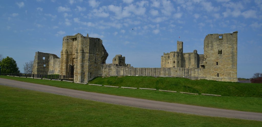
Using various forms of geophysical survey to try and understand the subsurface features for the former caput of the Dukes of Northumberland. The survey will focus on the bailey inside the 12th-century curtain wall as well as the strip of land outside but on the early earthwork castle, the motte and field near the entrance to the castle.
The applications have been sent to our expert assessors who will go over them. And if you want to know more about how the assessment process works, we have a brief summary.