Between 2018-2021 the Castle Studies Trust awarded three grants totalling less than £5,000 to Dr Duncan Wright of Newcastle University to develop a new methodology to understand the transition from Saxon to Norman rule at elite sites using Laughton-en-le-Morthen in South Yorkshire as an case study. This was then used to successfully win an early career research grant from the Arts and Humanities Research Council in 2022. Here is an update from Duncan about the project.
For the past 14 months a team from Newcastle University and the University of Exeter has been carrying out the first project dedicated to understanding the archaeological evidence for the origins of medieval power centres in the landscape of rural England. Where Power Lies has explored data at a number of scales, with a particular focus on places where elites developed a residential and ecclesiastical component in a single enclave. Importantly, the chronological remit of the programme straddles the Norman Conquest, allowing us to see with greater clarity the way in which castles were integrated and, in some cases, disrupted existing patterns of aristocratic activity and investment.
Subscribe to our quarterly newsletter
Among the first work packages initiated by the project team was a national GIS (Geographic Information Systems) of all of the ‘big data’ evidence for lordly centres, including the Corpus of Romanesque Sculpture in Britain and Ireland, and locations of the earliest castles. From this nationwide picture, the project targeted two ‘macro’ study regions, one focussed on the South/Southwest, and a second in North-East England. The Historic Environment Records for each county in the macro regions was then mined for useful data, helping us to identify a large number of new sites and to some extent map regional trends and differences in medieval elite activity. While such datasets must always be treated with care, this work immediately showed the frequency with which lordly complexes incorporate or are adjacent to watermills, strongly suggesting that mills and milling were central not just in the siting of aristocratic cells but also in the economic and symbolic foundations of elite power from the outset.
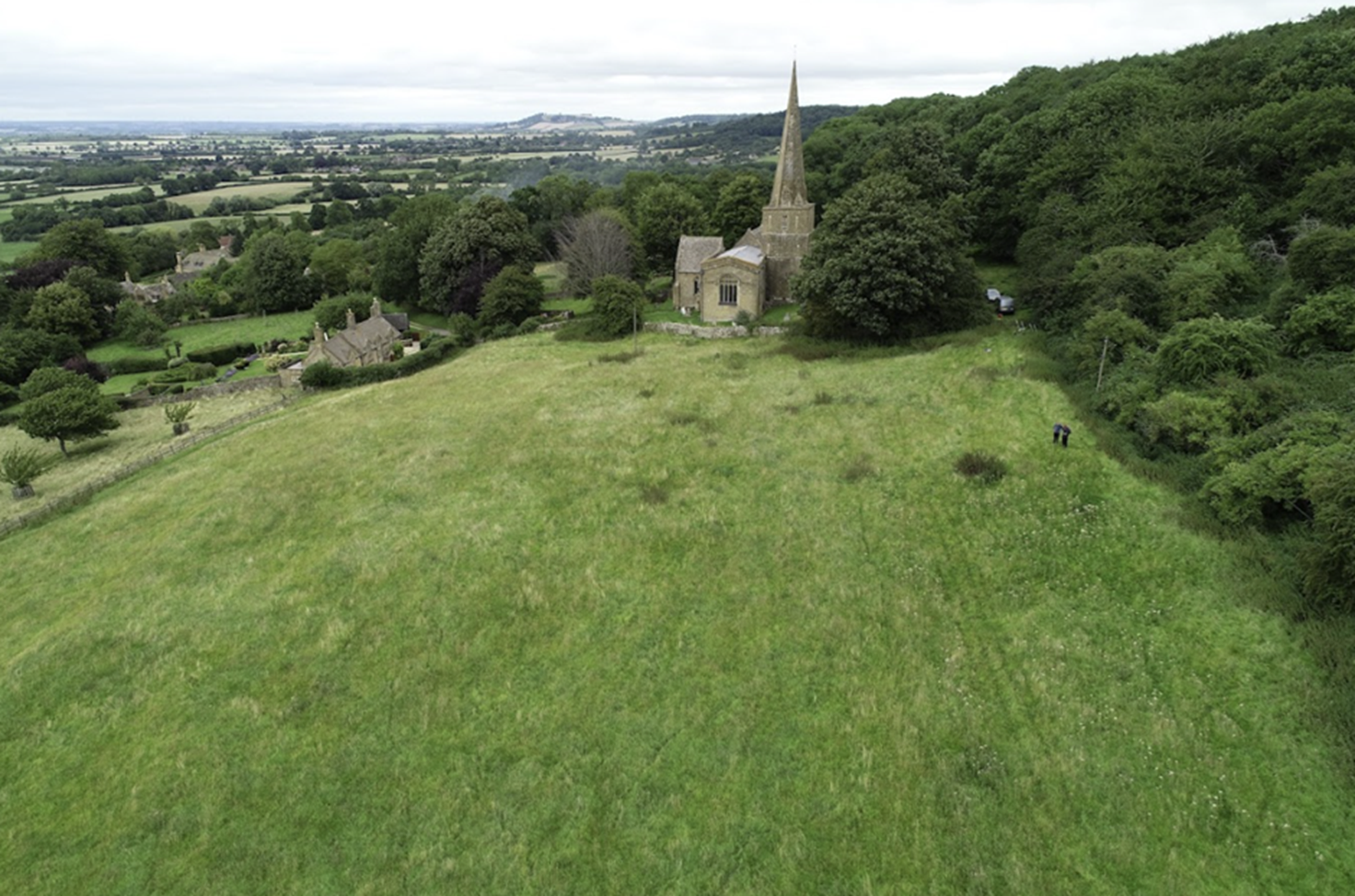
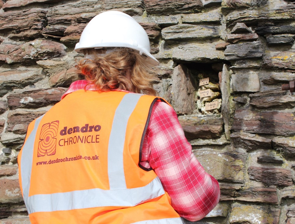
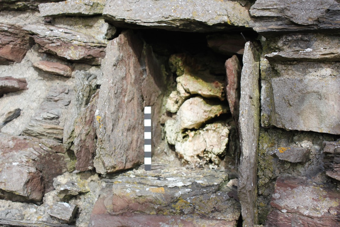
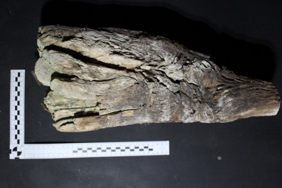
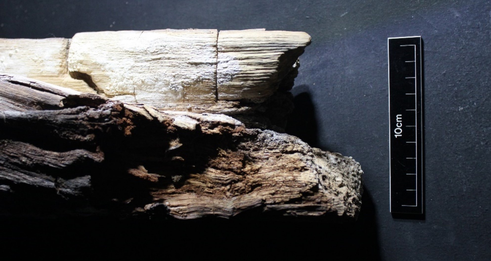
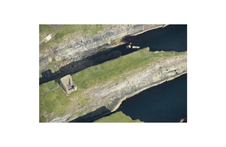
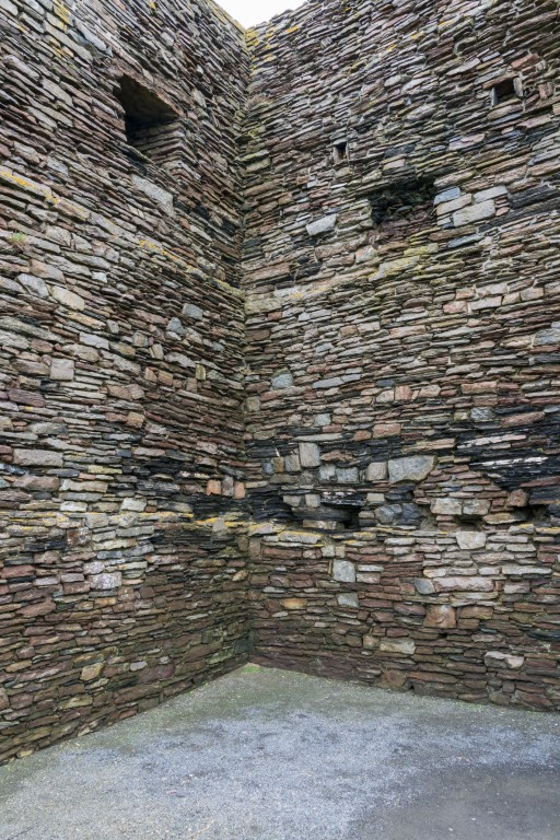
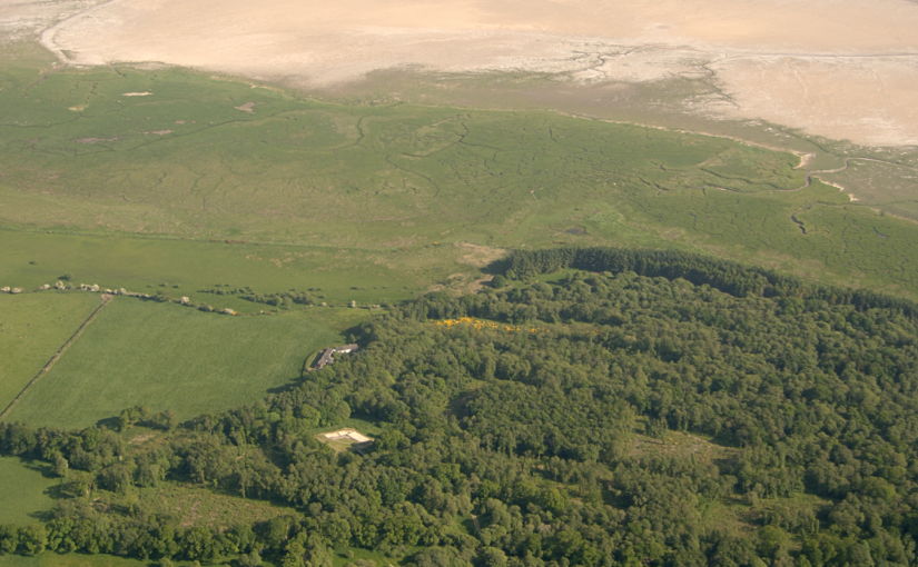
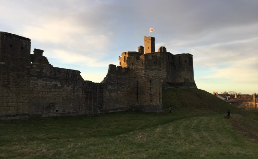
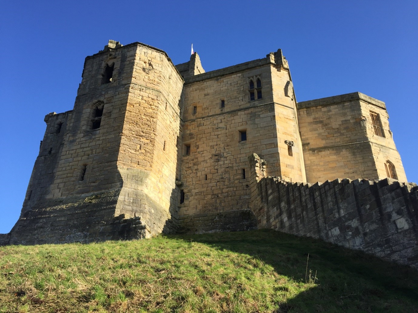
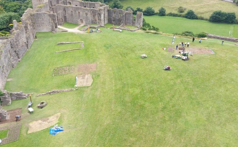
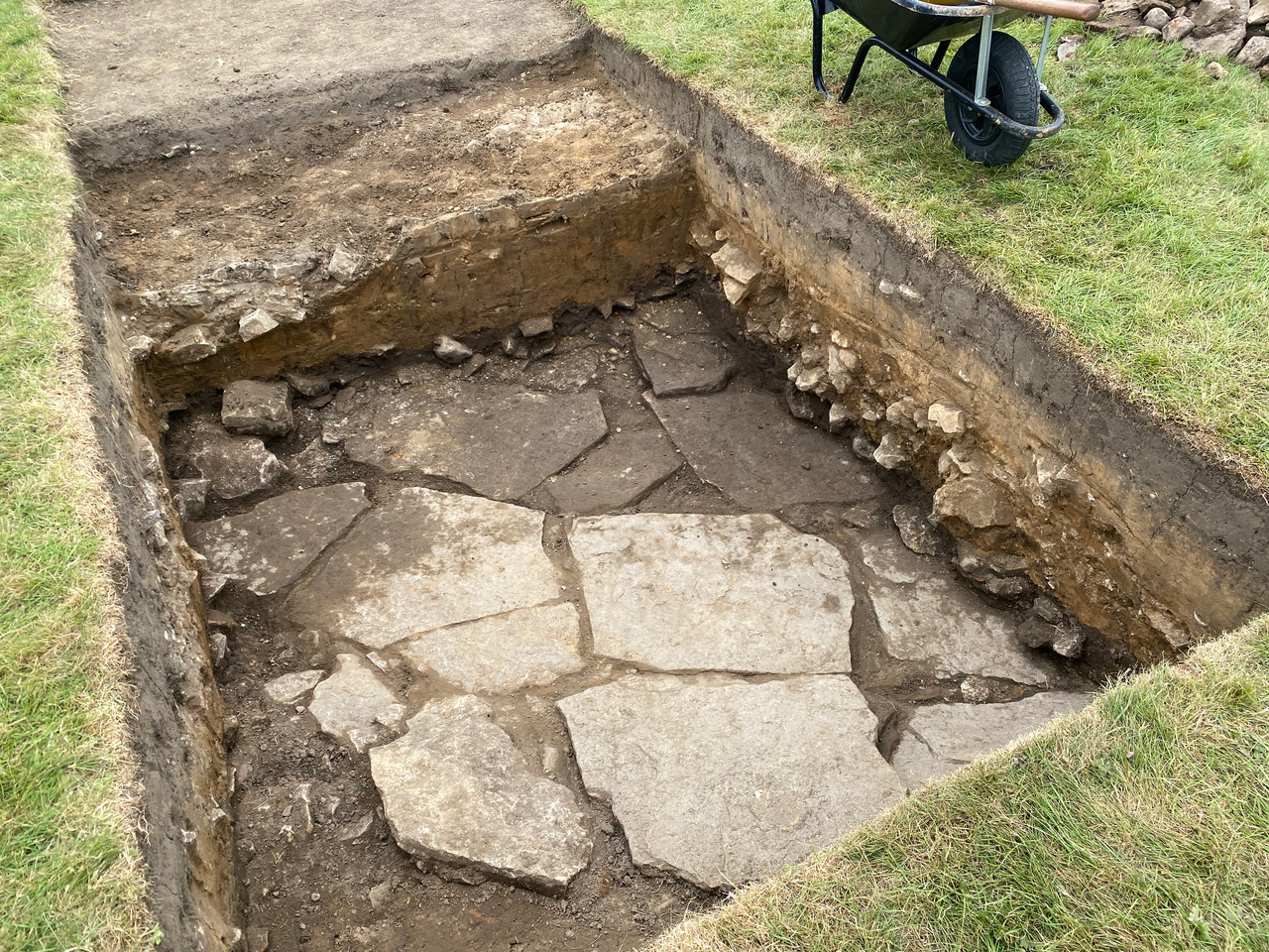
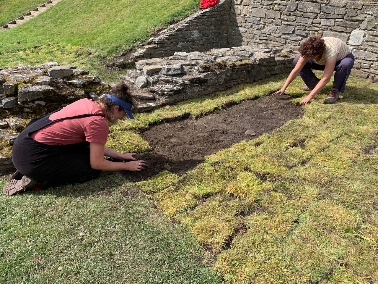
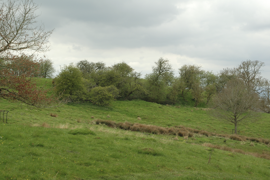
Where Power Lies has also conducted a programme of more comprehensive study focused on individual lordly centres. As a result, the project has been able to reconstruct something of the earliest phases of these places, identifying both commonalities and distinctions in what is usually seen as a homogenous category of archaeological site. One of the project’s main case studies has been Saintbury, Gloucestershire, where a series of prominent earthworks lie immediately south-west of the Romanesque church of St Nicholas (Figure 1). Despite the correlation of early church and impressive earthworks, almost no previous study had been undertaken at Saintbury until the Where Power Lies team conducted fieldwork in three phases in 2023; geophysical and standing building survey were conducted in July, excavation for optically stimulated luminesce (OSL) profiling and dating samples in September, and topographic survey and 3D modelling via drone in November.
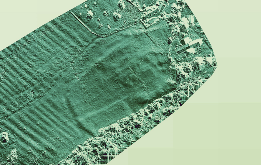
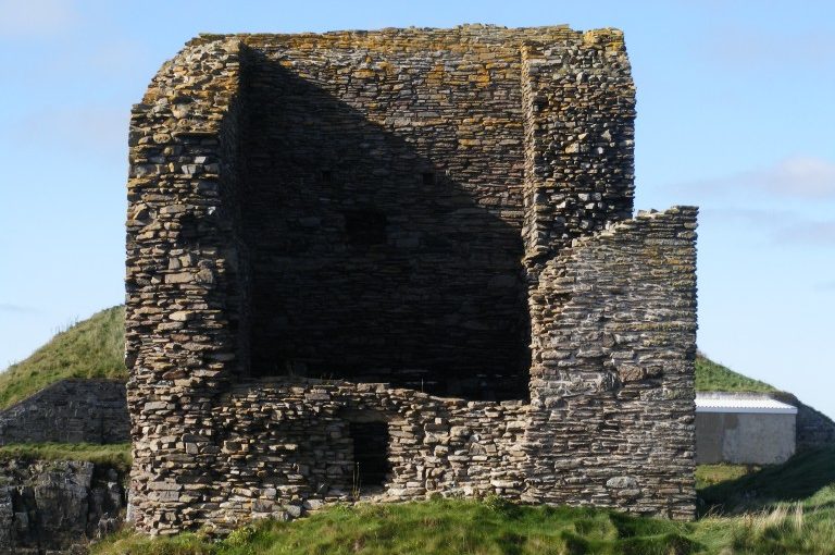
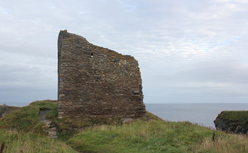
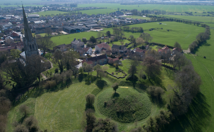
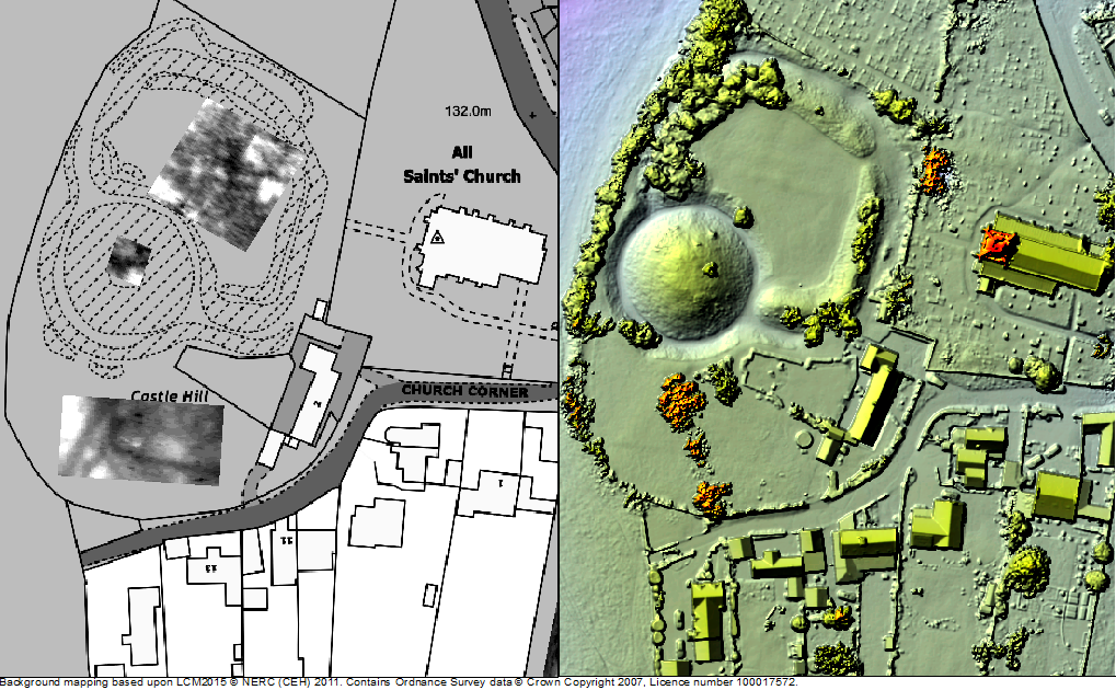
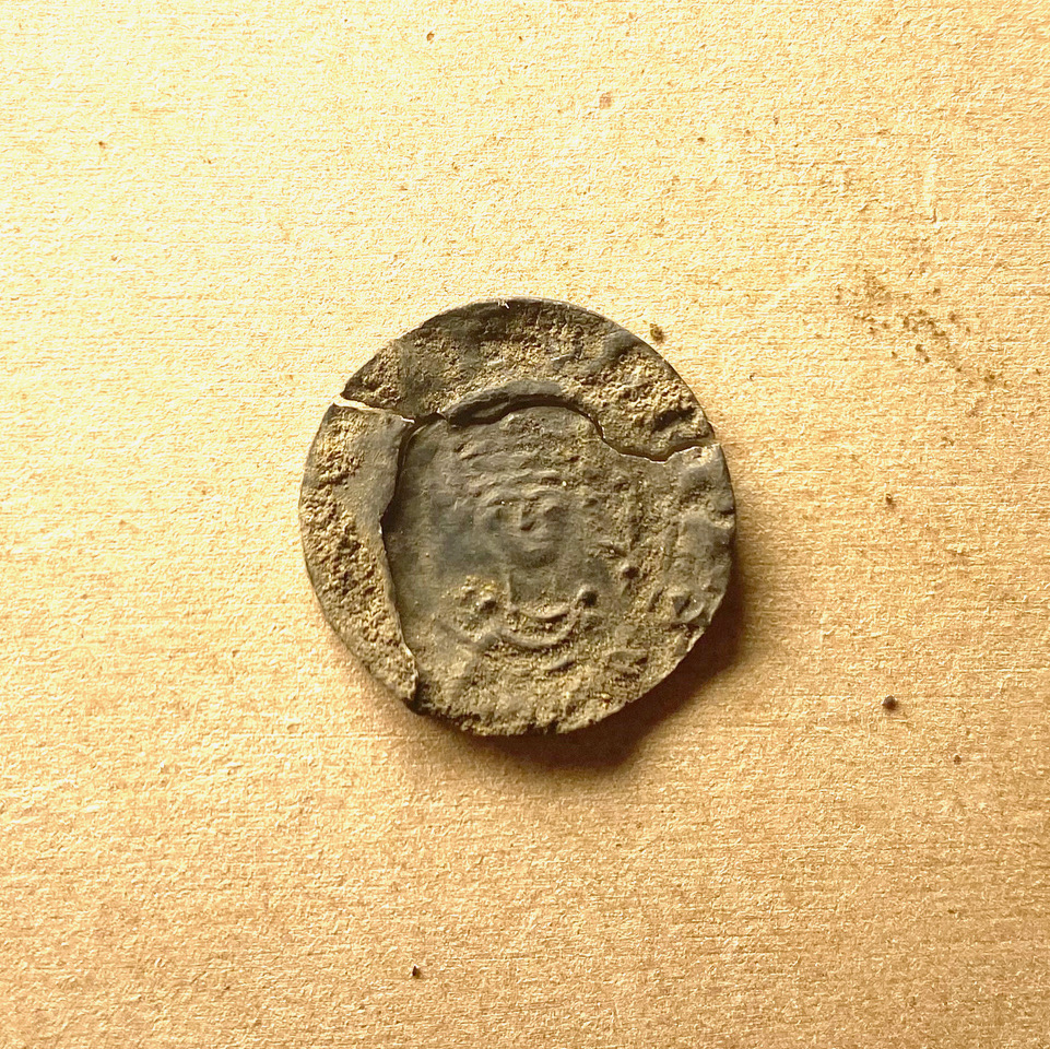
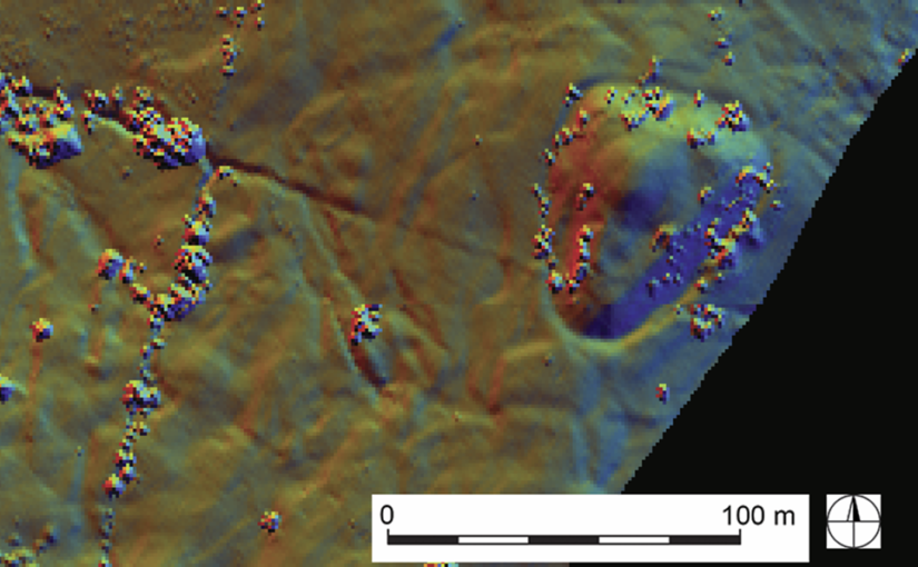
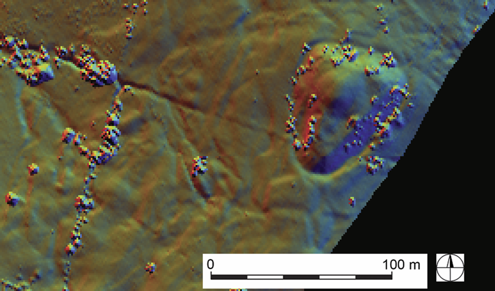
While we’re still awaiting the OSL dates that will allow us to phase the earthworks, our research has already made some key breakthroughs. It now appears that Saintbury’s lordly centre was developed on a pre-existing Roman site, perhaps a villa or even a military installation of some kind (Figure 2). In the early medieval period the earlier Roman complex was transformed, perhaps into an ecclesiastical community; several pre-Conquest charters relating to neighbouring estates mention ‘Cada’s Minster’ (cadan mynster) and, while the minster has previously been located at the nearby hillfort of Willsersey Camp, the earthworks adjacent to St Nicholas could well instead represent this early church. St Nicholas itself was constructed c.1100, at a time when the aristocracy were again investing heavily in Saintbury’s landscape. The appropriation of minsters for elites for their private use was increasingly common from the mid-ninth century, and at Saintbury we may be seeing an archaeological example of this process of secularisation. Not only is the residence adjacent to the church at Saintbury likely to have been enhanced, a previously little-recognised motte and bailey castle was also constructed around the same time 1km to the south-west (Figure 3). Whether the result of a divided manor, or an additional military installation to an existing lordly centre, the castle was certainly thoughtfully located; not only near to where the Roman Ryknild Street drops down the Cotswold scarp, but in close proximity to an early medieval assembly place called the Kiftsgate Stone (Figure 4). Our Saintbury case study is just one of several that the project has undertaken that not only neatly encapsulates the complexities of evolving aristocratic activity in the period, but also shows the value of concerted study of specific sites and landscapes.
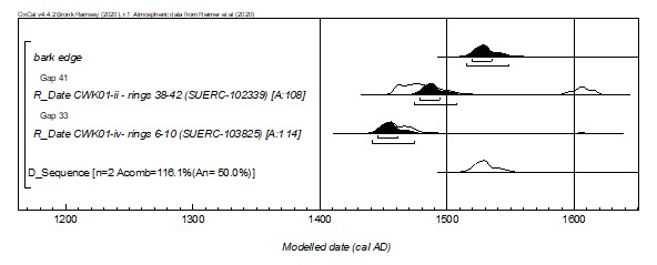
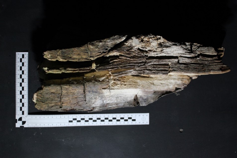
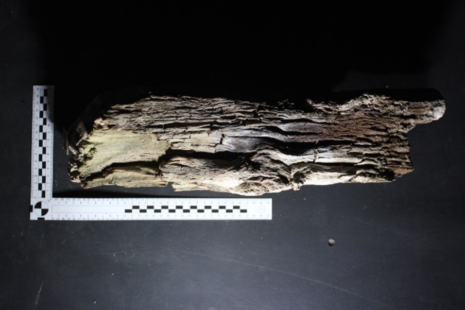
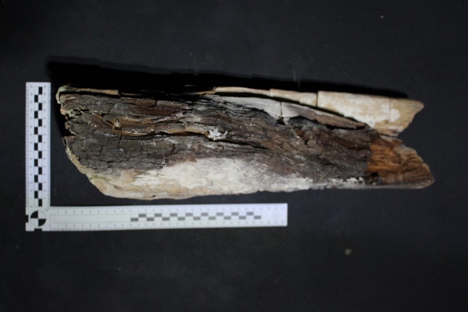
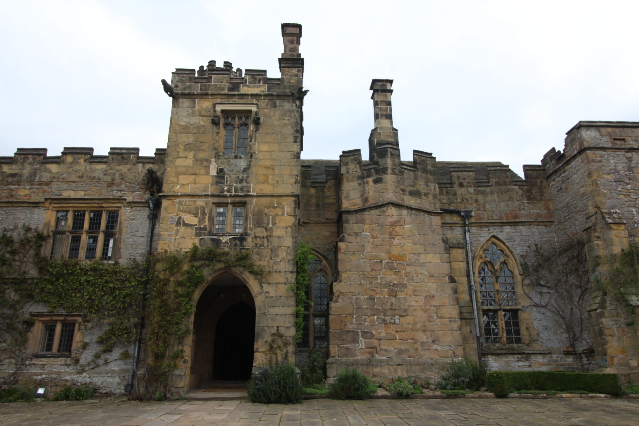
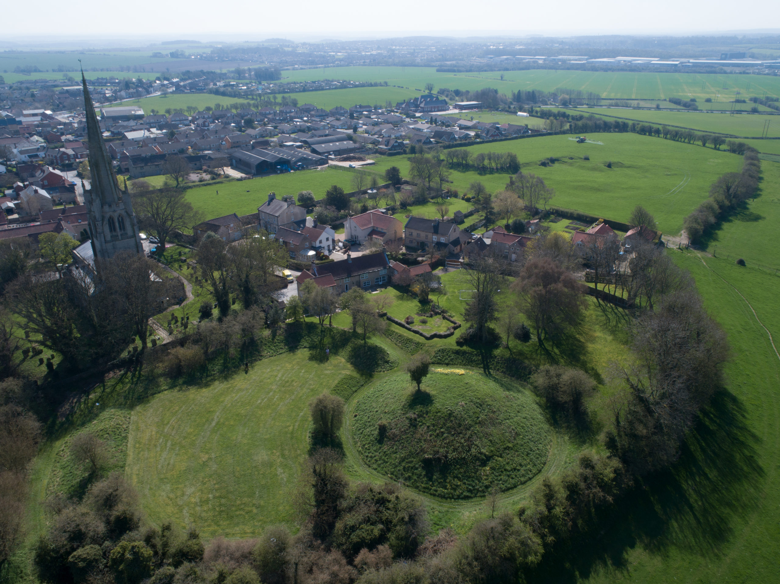
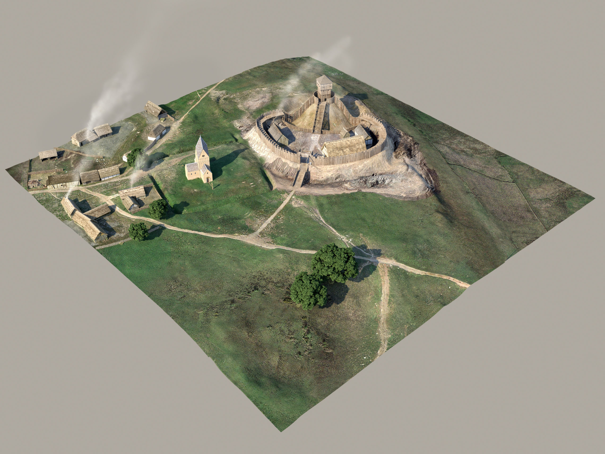
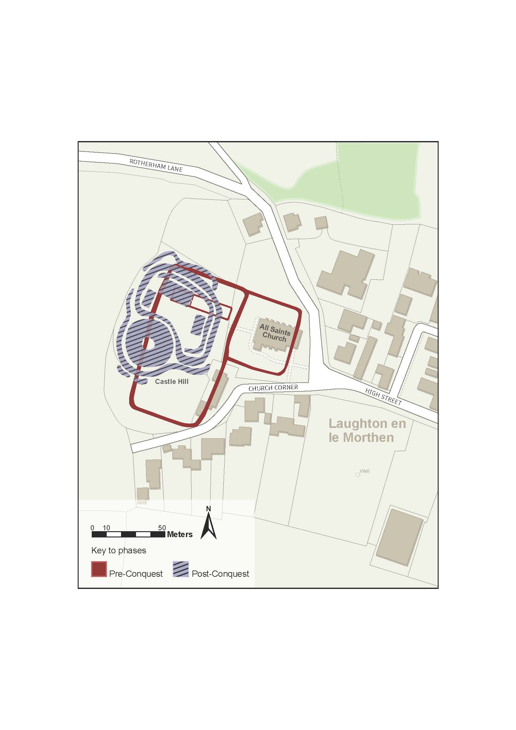
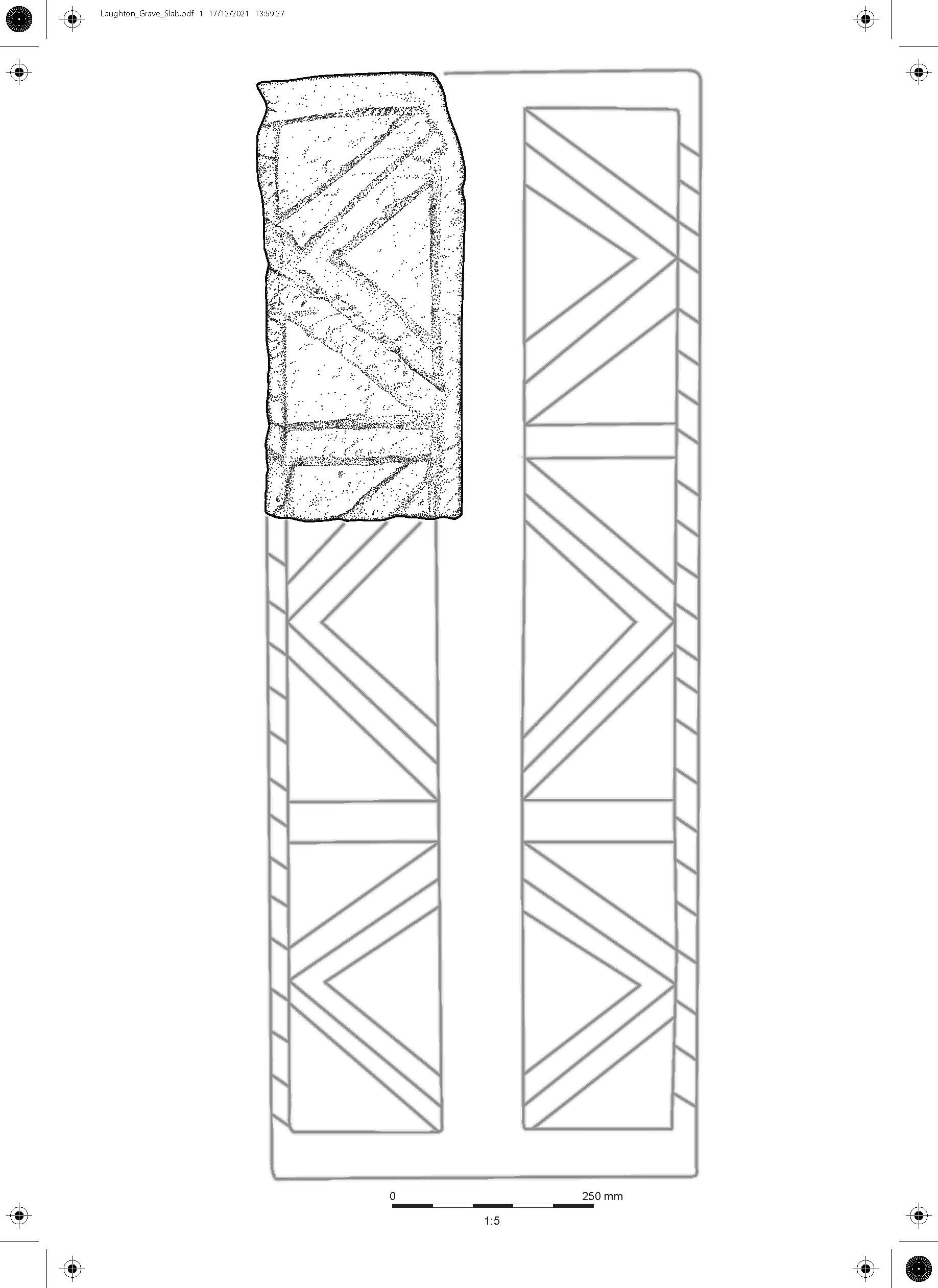
Moving into its final few months, Where Power Lies is now integrating the findings from these different scales of work into a number of different outputs. The success of the project is partly down to the support of the Castle Studies Trust who generously funded three stages of a pilot scheme at Laughton en le Morthen, South Yorkshire, the results of which were recently published in Landscapes. The monies provided by the Castle Studies Trust were critical in allowing us to demonstrate the methods and concept behind Where Power Lies, resulting in an AHRC (Arts and Humanities Research Council) research grant for our 18-month long project. The project team hope that we can in some way repay this generosity, by placing early castles into a more coherent, longer-term picture of aristocratic development in the landscape of England.