Dr Sarah Kerr of University College Cork explores the importance of lodging ranges in late medieval Great Houses.
With the publication of my new monograph on late medieval lodging ranges, this post summaries what makes these buildings so vital to our understanding of the great houses in England and Wales, and calls for greater centring of function over fundamental use in buildings archaeology.
Subscribe to our quarterly newsletter
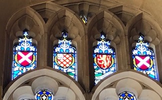
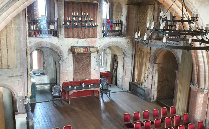
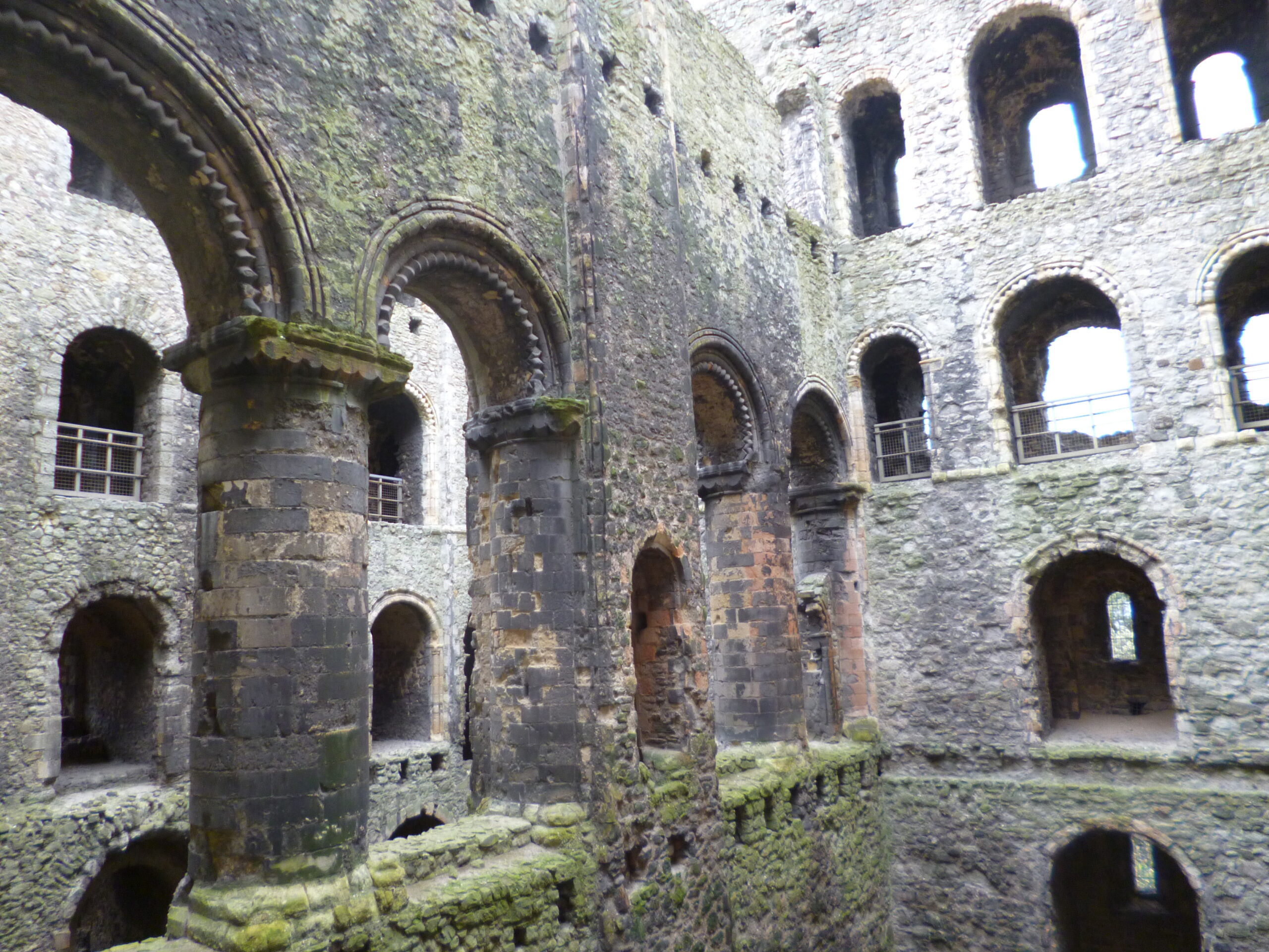
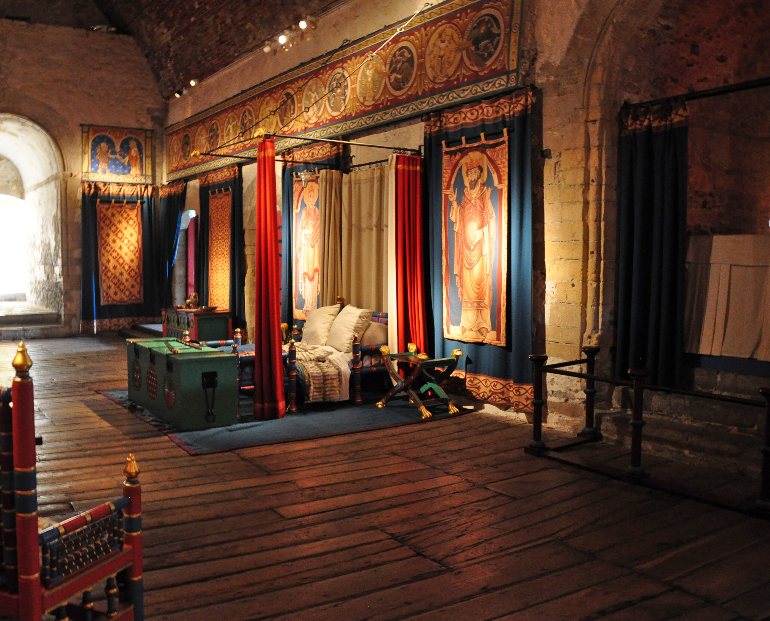
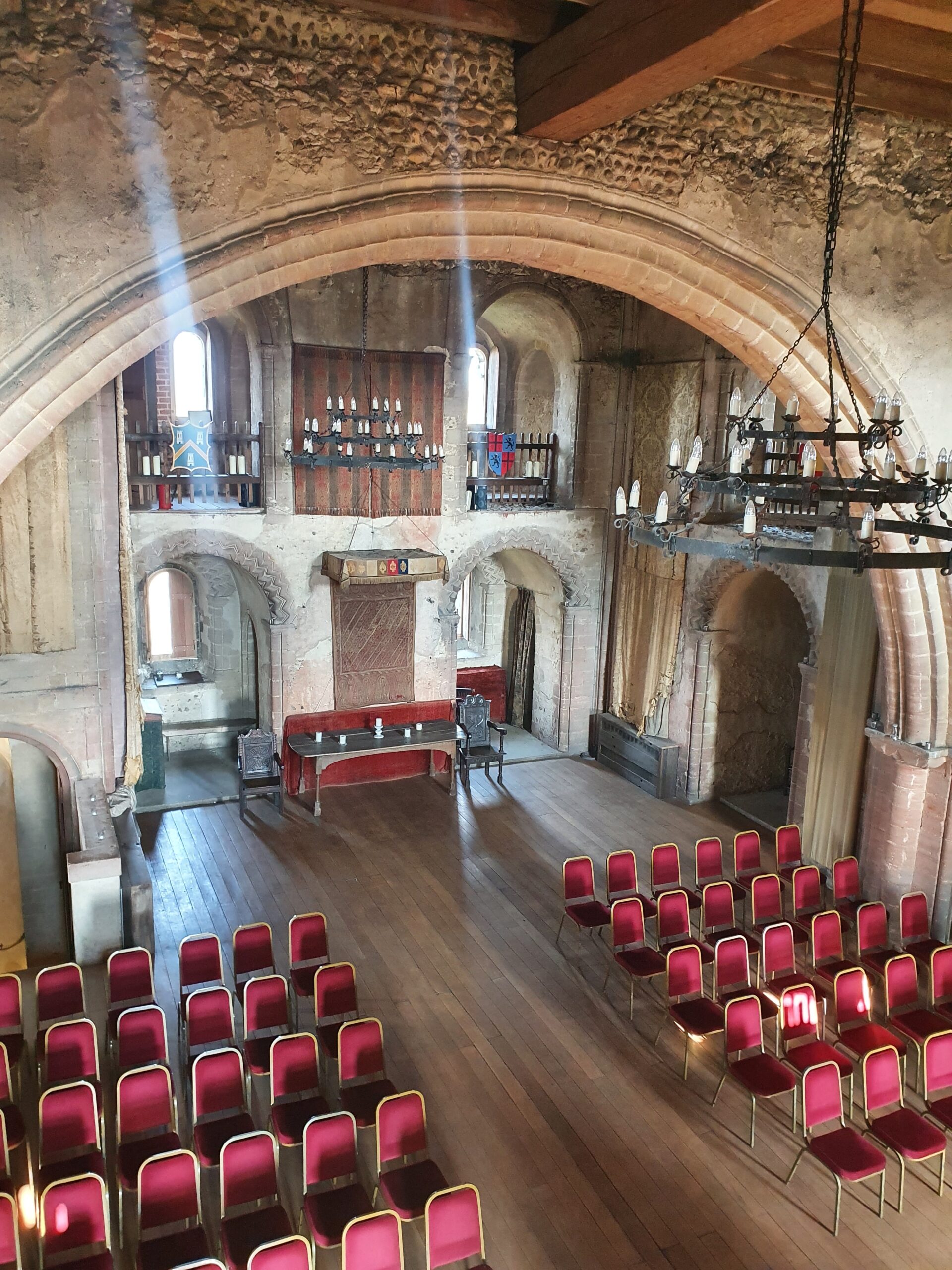
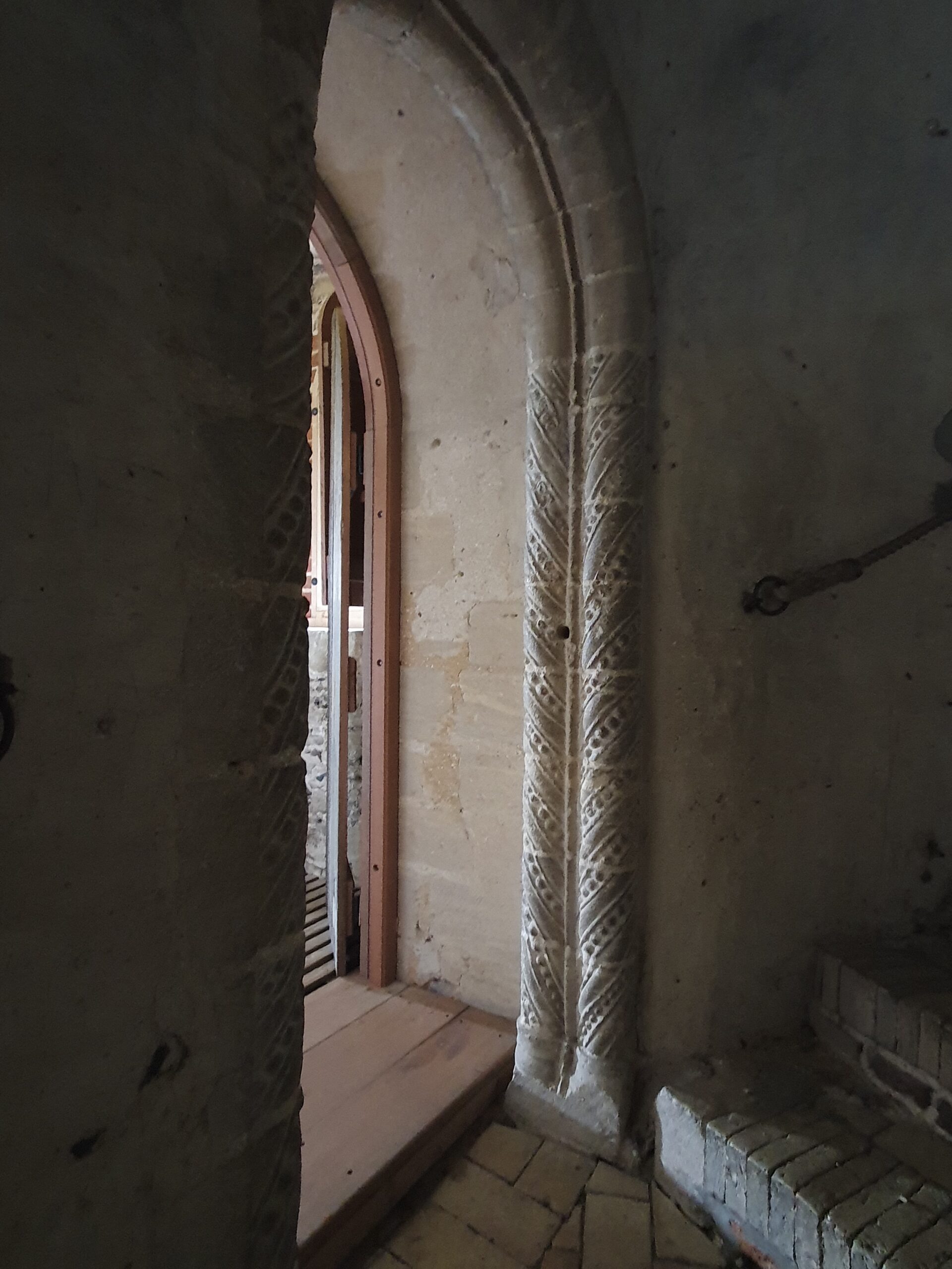
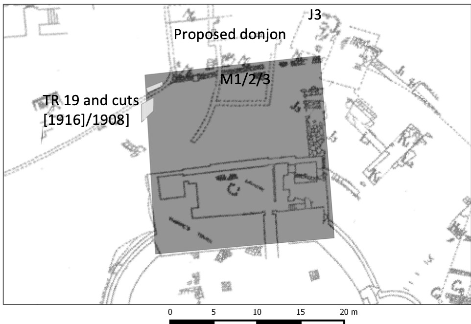
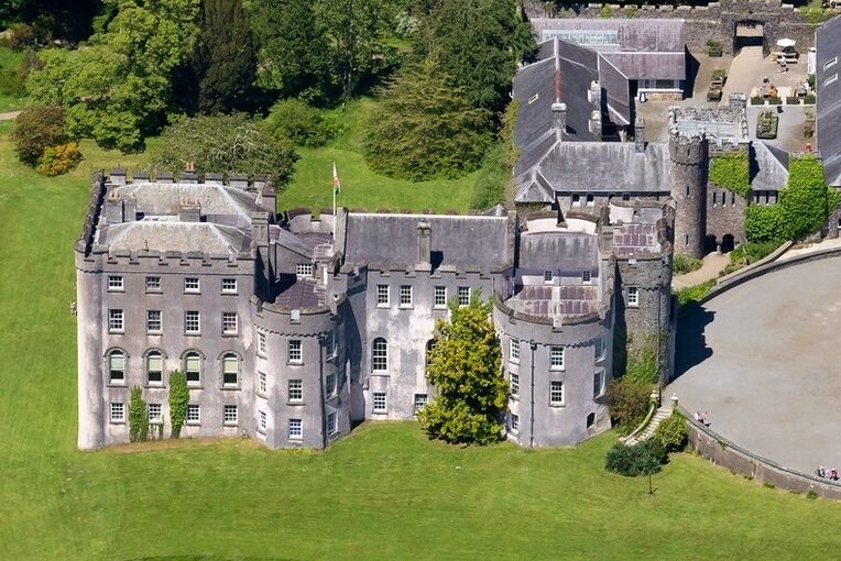
Lodging ranges are a type of collective-living building, built as part of late medieval great houses, sometimes called castles, to accommodate middle- to high-ranking members of the household. They were often long ranges occupying the side of a courtyard, divided into small yet grand rooms, these sometimes divided further into what may be an office and bedchamber.[1] Each room displays the architectural language of a comfortable living space with windows, a fireplace, and a garderobe. Each room also had an individual door that led from the courtyard or a lobby into that room and that room only, making the room a termination point (Figure 1). The individual door was almost unique in the late medieval great house, thus it sets lodging ranges apart from other types of accommodation and indeed is one of the most illuminating features in the analysis of function and use. Each room was low-occupancy, possibly single-occupancy for some periods, indicating that they were some of the most socially separated spaces in the great house with suggestions of privacy that would not become commonplace for centuries. This combination of architectural detail and separated space created some of the finest rooms within late medieval accommodation, drawing comparison with the suites of those at the head of the household.
A dominant research focus within buildings archaeology has been, until only recently, on a building’s use which has lead to the prioritisation of practical use over more conceptual functions. Function and use are not synonymous, nor dichotomous, rather each is a coexisting layer of meaning.[2] Consider the lodging ranges’ individual doors. The door, as all doors, provided and restricted access: this was its use. The function of the door, however, was to epitomise the difference between who could enter and who could not. Its function was to communicate a sense of ownership of, or rights over, the room on the other side. Therefore there is a distinction, at least to us in the present translating the past, between the use, as a point of entrance, and the function, of communicating these meanings.
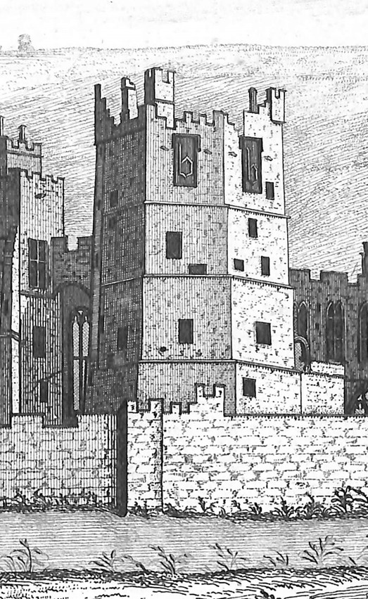
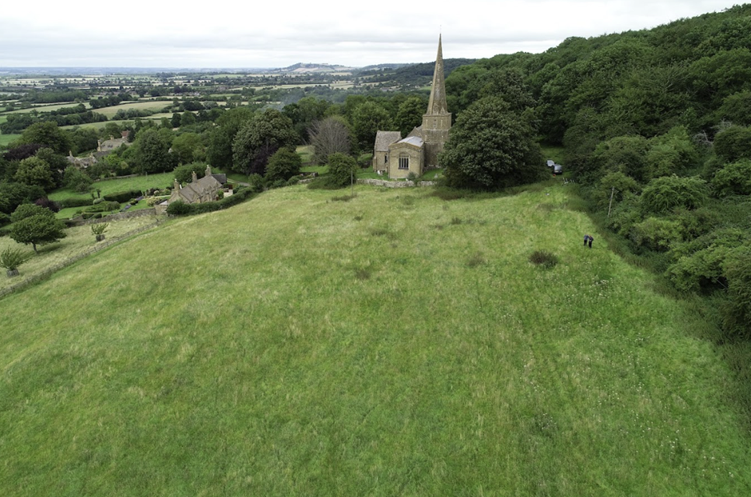
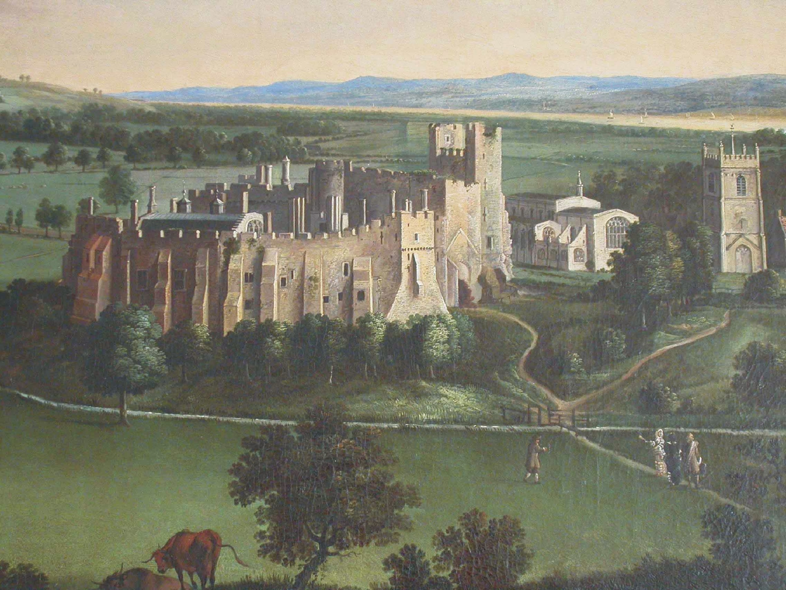
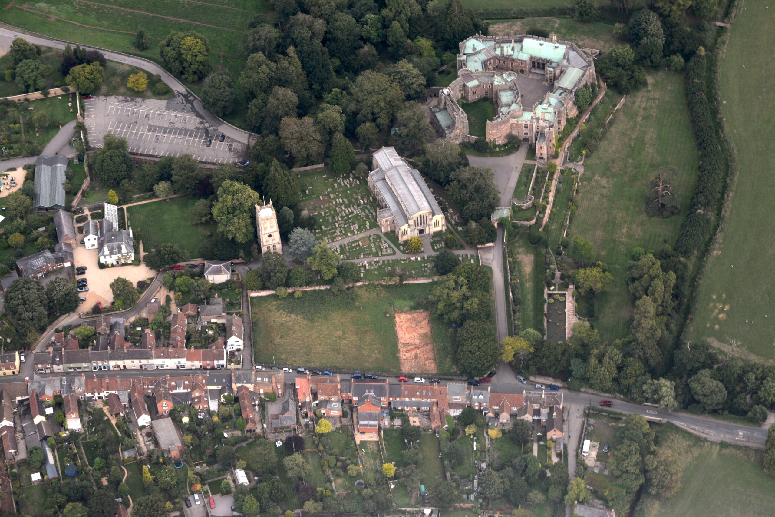
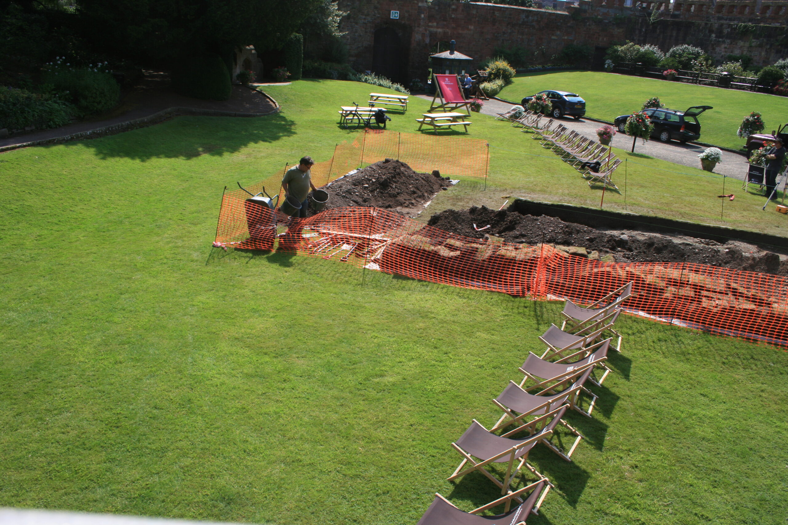
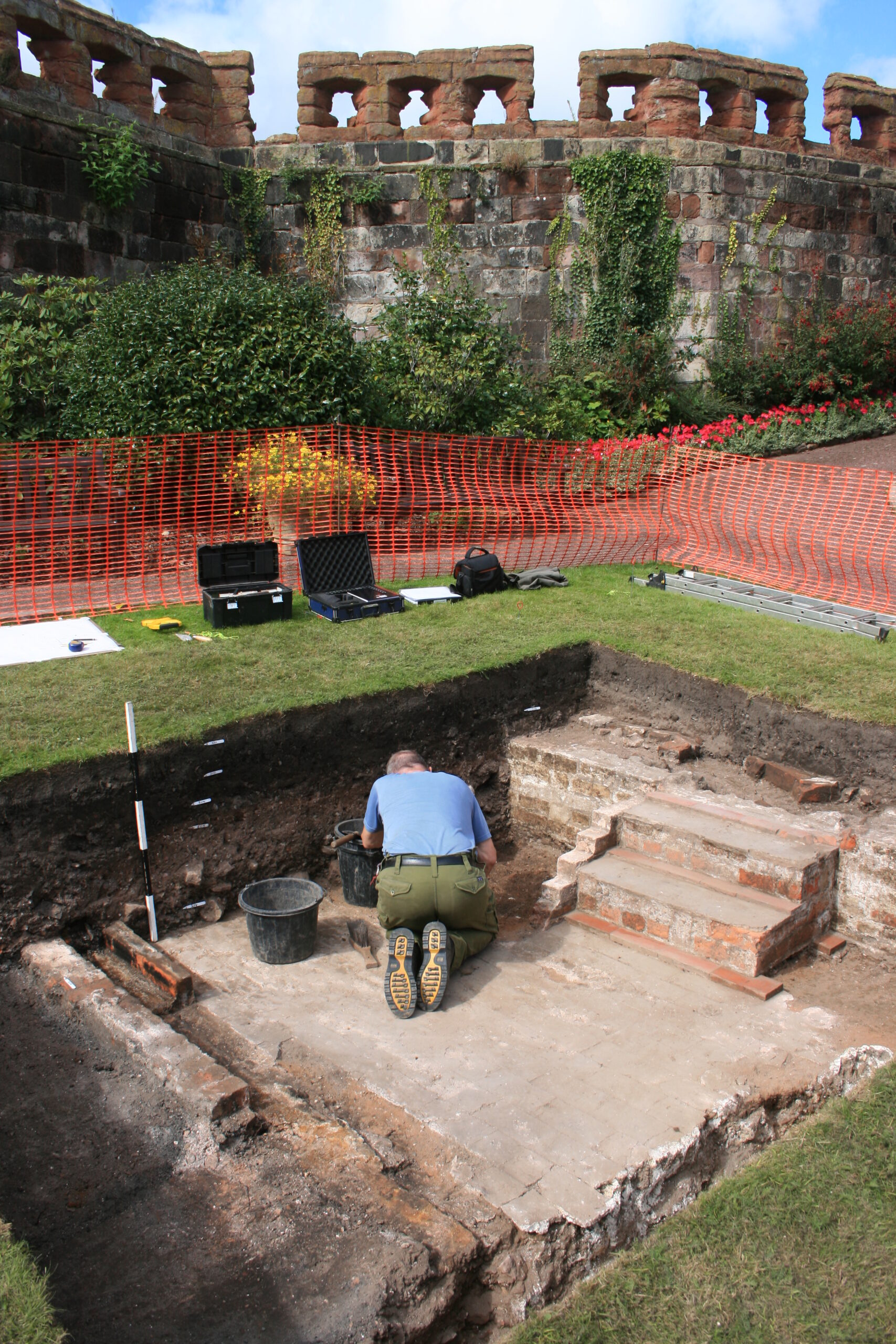
By focusing on function, the analysis reveals lodging ranges’ layers of meanings. Lodging ranges display early use of uniform elevations created through equal spacing, symmetry, and repeated features such as doors, possibly most striking at the 80m-long range at Dartington Hall, Devon (Figure 2). This strong architectural uniformity created a sense of sameness that can be extended from the fabric to the occupants, suggesting the ranges were built to construct a sense of collective identity between people drawn from different families. Within this architectural display of collective identity, however, there were expressions of individualism. Variations between rooms, both in size and provisions, created a sub-hierarchy within the lodging ranges, harking to a household in itself. This is seen clearly at Gainsborough Old Hall, Lincolnshire, which comprised three different room types concealed behind a uniform façade (Figure 3). In other examples, the differences were expressed explicitly, through larger or more intricately decorated doors and windows, ensuring the hierarchy was displayed outwardly. Centring the exploration of lodging ranges’ possible functions allows the suggestion that they were primarily built to reflect – or instil – certain identities upon the occupants. At a time of increased social mobility it could be suggested that lodging ranges were constructed in an effort to halt any aspirations of social ascension or even set in stone, quite literally, the social identities of those within the household.
Lodging ranges draw comparison with inns, vicarial and collegiate ranges, and to a lesser extent chantry houses,[3] due to architectural similarities of individual or low-occupancy small rooms, courtyard plans, high-status provisions and uniform elevations. This allows the suggestion of a broader typology of collective-living buildings emerging in the late medieval period with collective an important distinction from communal: these were not high-density rooms comparable to dormitories.[4] While there are limitations with our over-reliance on typologies – a topic for another post – we can tentatively suggest that the collective-living building type demonstrates development from dormitories to rooms within ranges across types of auxiliary late medieval accommodation. This emergence of a collective-living building type reveals how late medieval society was responding to the shift towards specialised use of rooms and more private spaces.
Subscribe to our quarterly newsletter
The first book on late medieval lodging ranges, Late Medieval Lodging Ranges: The Architecture of Identity, Power and Space, is available to order from by Boydell and Brewer. Use code BB135 for 35% off.
Link to book: https://boydellandbrewer.com/9781783277575/late-medieval-lodging-ranges/#generate-pdf
[1] For earlier discussions on loading ranges see within the following texts: William Pantin, ‘Chantry Priests’ Houses and other Medieval Lodgings’, Medieval Archaeology, 3 (1959), 216-58 (free access); Margaret Wood, The English Medieval House (New York, 1965); Anthony Emery, Greater Medieval Houses of England and Wales 1300-1500 (3 Vols, Cambridge, 2000; 2000; 2006); Jane Grenville, Medieval Housing (London, 1997); Michael W. Thompson, ‘The Architectural Context of Gainsborough Old Hall’, in: P. Lindley (ed.), Gainsborough Old Hall (Lincoln, 1991), pp. 13-20; Christopher Woolgar, The Great Household in Late Medieval England (New Haven, 1999).
[2] Amos Rapoport, The Meaning of the Built Environment (Tucson, 1990), p. 187; Graham Fairclough, ‘Meaningful constructions – spatial and functional analysis of medieval buildings’, Antiquity, 66:251 (1992), 348-66, p. 351.
[3] Chantry houses are compared in: Margaret Wood, The English Medieval House (New York, 1965); William Pantin, ‘Chantry Priests’ Houses and other Medieval Lodgings’, Medieval Archaeology, 3 (1959), 216-58.
[4] Sarah Kerr, ‘Collective living and individual identities in late medieval England,’ Archaeological Journal, 177 (2020), 83-98.