Transforming our understanding of Shrewsbury Castle

With the excavation report on the third and final season of excavation which the CST has funded now published on our website, project lead Dr Nigel Baker looks at what has been achieved since the first work in 2019 to now.

Just over a century ago Shrewsbury Castle began a new phase in its long life. In 1925 its principal surviving building, having been in use as a private dwelling since the castle was finally de-munitioned in 1686, became the meeting hall of Shrewsbury Borough Council, set in extensive landscaped gardens covering the remains of the motte and inner bailey, the outer bailey having (mostly) disappeared beneath the growing town by c.1300. Shrewsbury Castle remained more or less untouched by archaeology for the remainder of the 20th century. This changed in 2019 with the award by the Castle Studies Trust of a grant for a season of geophysical survey and excavation in the inner bailey. Following permission from Shropshire Council, the site owners, and Historic England, its legal guardians, the work took place in May and July 2019, the geophysics by contractors Tiger Geo and the excavation team made up of experienced local volunteers and staff and students of University Centre Shrewsbury. The results were unexpected.

Subscribe to our quarterly newsletter

Shrewsbury Castle Excavation 2019 showing the width of the ditch around the motte using deckchairs (copyright Dr Nigel Baker)
Arrow heads found in Shrewsbury Castle Motte Ditch (copyright Dr Nigel Baker)

Immediately under the turf was natural glacial gravel: the top of the hill on which the castle had been built; the ground surface had been lowered sometime in the past, removing nearly all archaeological remains. This was almost certainly the work of the young Thomas Telford who, from 1786 to 1790, lived in and ‘restored’ the castle for its owner, Sir William Pulteney, M.P. for Shrewsbury. However, archaeological strata were found to have survived within cuts into the natural gravel, and two of these were of major significance. The first was the edge of a previously-unknown ditch around the base of the motte. Medieval cooking-pot sherds of late 11th-13th-century date were found in its lowest excavated layers, along with two armour-piercing crossbow quarrel heads. The second significant find was of a pit containing in its fill a piece of decorated bone and two types of pre-Conquest (Saxon) pottery: Stafford-type ware, distributed widely across the emerging towns of the region and already well represented in Shrewsbury; and a limestone-tempered fabric, TF41a, never before seen in Shrewsbury, which had been made in the Gloucester area and probably imported up the Severn. This confirms that there was pre-Conquest activity on the site of the castle, and, along with the Domesday evidence that there was a church of St Michael there by 1086, may point in the direction of a high-status pre-Norman presence on this tactically-significant site controlling access to the ancient borough.

Shrewsbury Castle Excavation 2020 (copyright Dr Nigel Baker)

Excavation resumed in the autumn of 2020 with a trench seeking a sample profile through the west rampart of the inner bailey. This turned out not to be medieval in date. Both the west and the north rampart were probably created as part of Thomas Telford’s landscaping work in 1786-90. But, intriguingly, below the west rampart there was no sign within the trench of the natural hilltop gravel found close by in 2019 at a depth of just a few centimetres. The explanation may be that the bailey was enlarged westwards between the Norman period and the later medieval period, by dumping soil and levelling-up behind a new curtain wall.

Shrewsbury Castle Excavation 2022 on the motte top (copyright Dr Nigel Baker

The final season of excavations took place in 2022 on the top of the motte, and outside the north curtain wall. Telford is known to have demolished ruined medieval buildings on the top of the motte and replaced them with the surviving two-storey Gothic summerhouse there. Excavation showed that Telford’s activities had, again, removed most of the archaeology but that the foundations of early medieval timber buildings (beam slots, a post pad, post holes) survived where they had been cut into the motte material. No definite trace was seen of the ‘great wooden tower’ which is documented on the motte top until its collapse in 1269-71.

New light was also shed on the motte by vegetation clearance on its south side, revealing for the first time remains of buildings incorporated in the masonry of the retaining walls. This work was undertaken on behalf of Shropshire Council for a new conservation-management plan, currently at consultation stage, which includes photogrammetric surveying of all the castle structures. This permanent stone-by-stone record not only forms the basis for the next vital stage of work – identifying and specifying long-needed repairs – it also offers new archaeological insights, including the identification of the probable primary sandstone rubble fabric of the curtain walls. This was in turn followed by some research carried out by Jason Hurst on Civil War musketry damage in 2023 (Potential shot damage at Shrewsbury Castle – Castle Studies Trust Blog) . And now, the process of publishing this body of new archaeological, architectural and historical information is just beginning…

Subscribe to our quarterly newsletter

Lowther Dig Diary Three: Digging up the historical evidence of Lowther medieval castle and village

In part three of our dig diary, project lead Sophie Ambler talks about another type of digging, not of holes in the ground by through the archives to discover what if any historical evidence there is for Lowther.

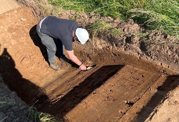
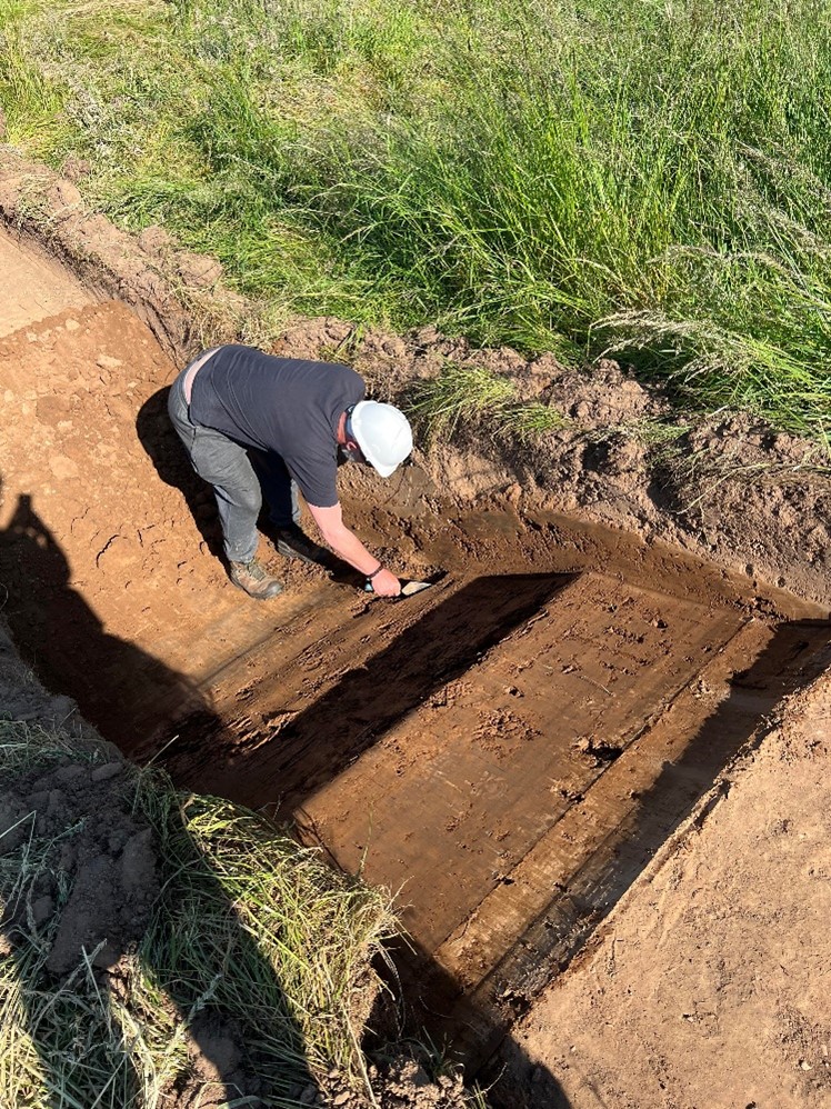
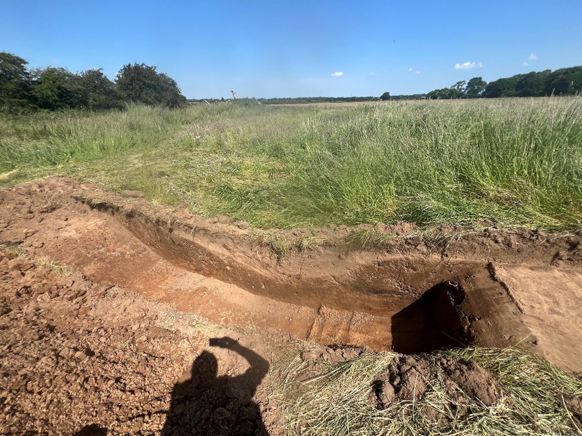
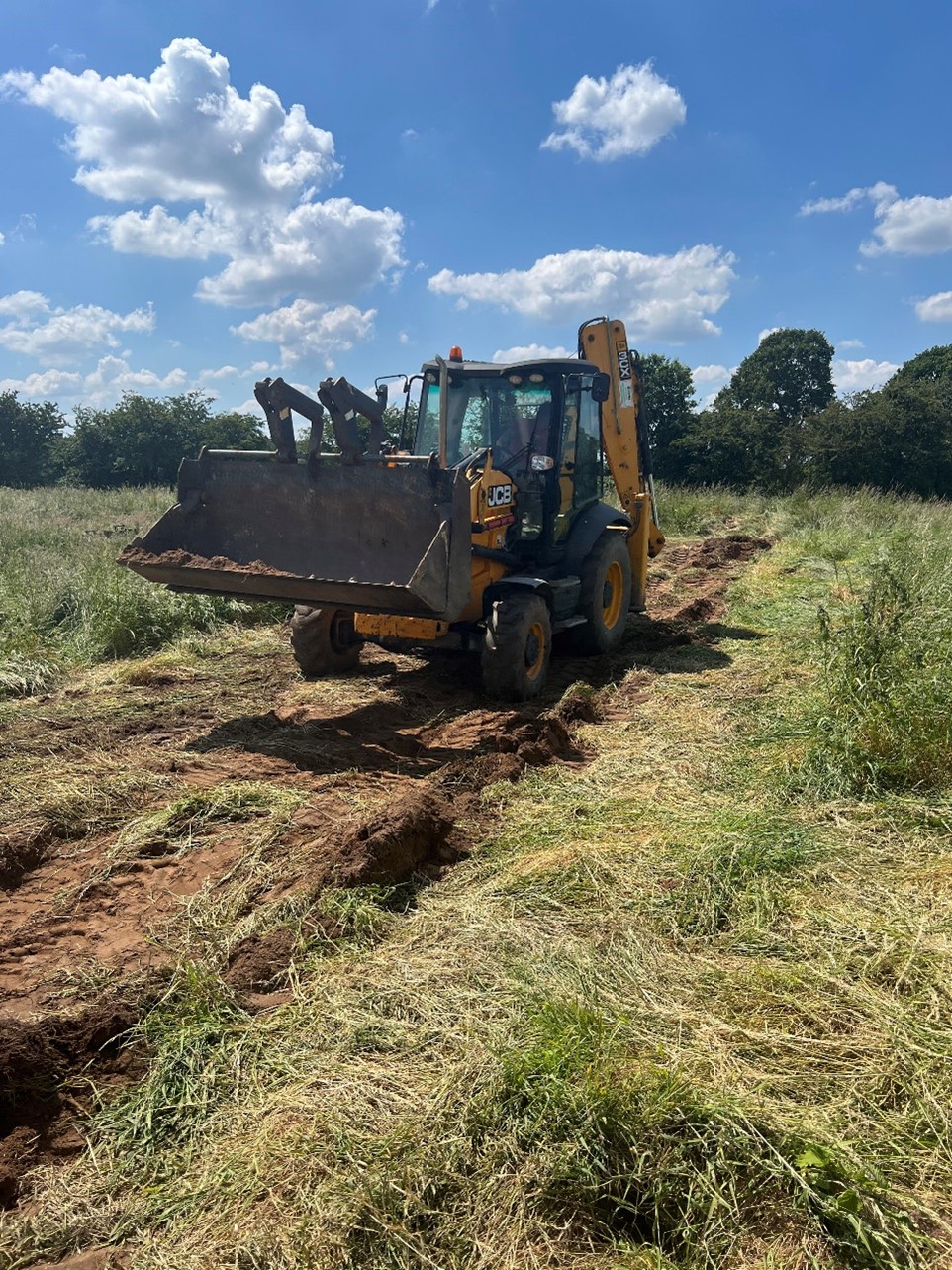
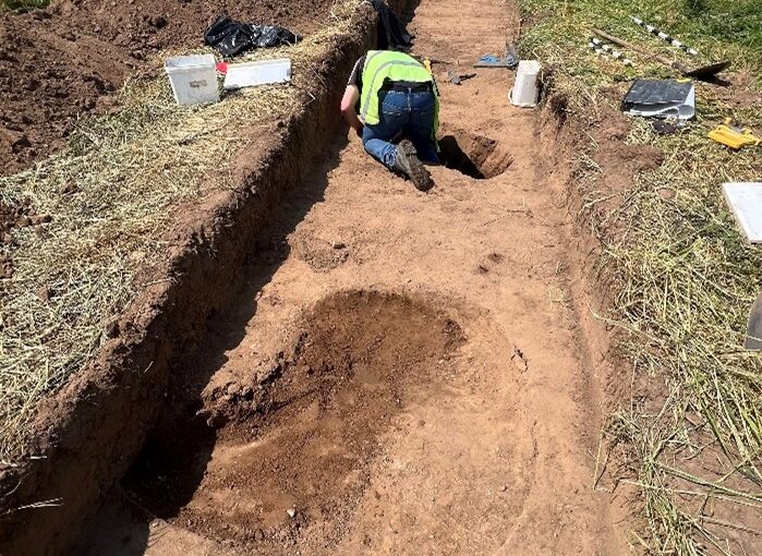
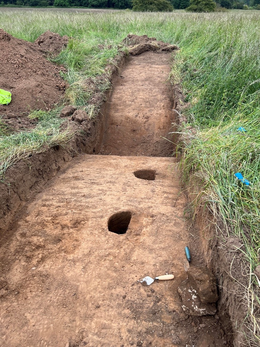
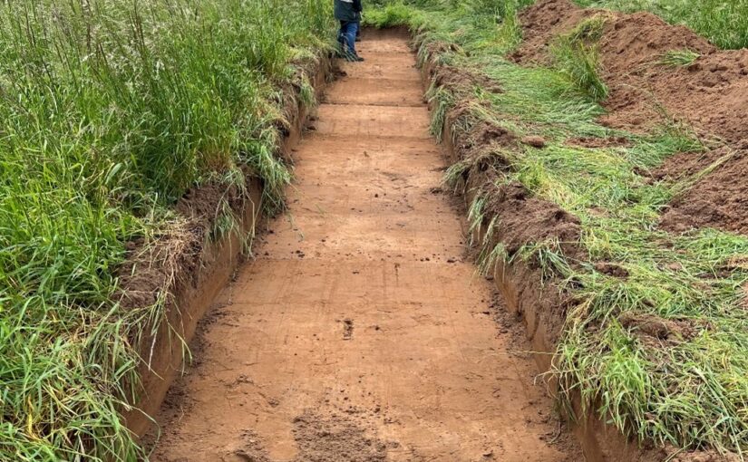
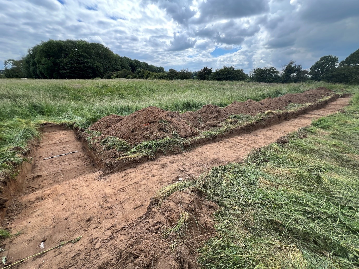
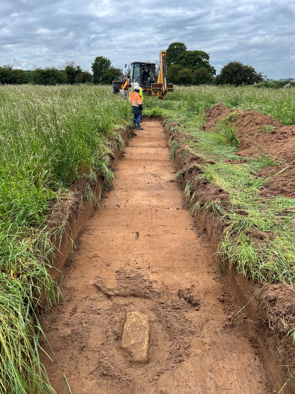
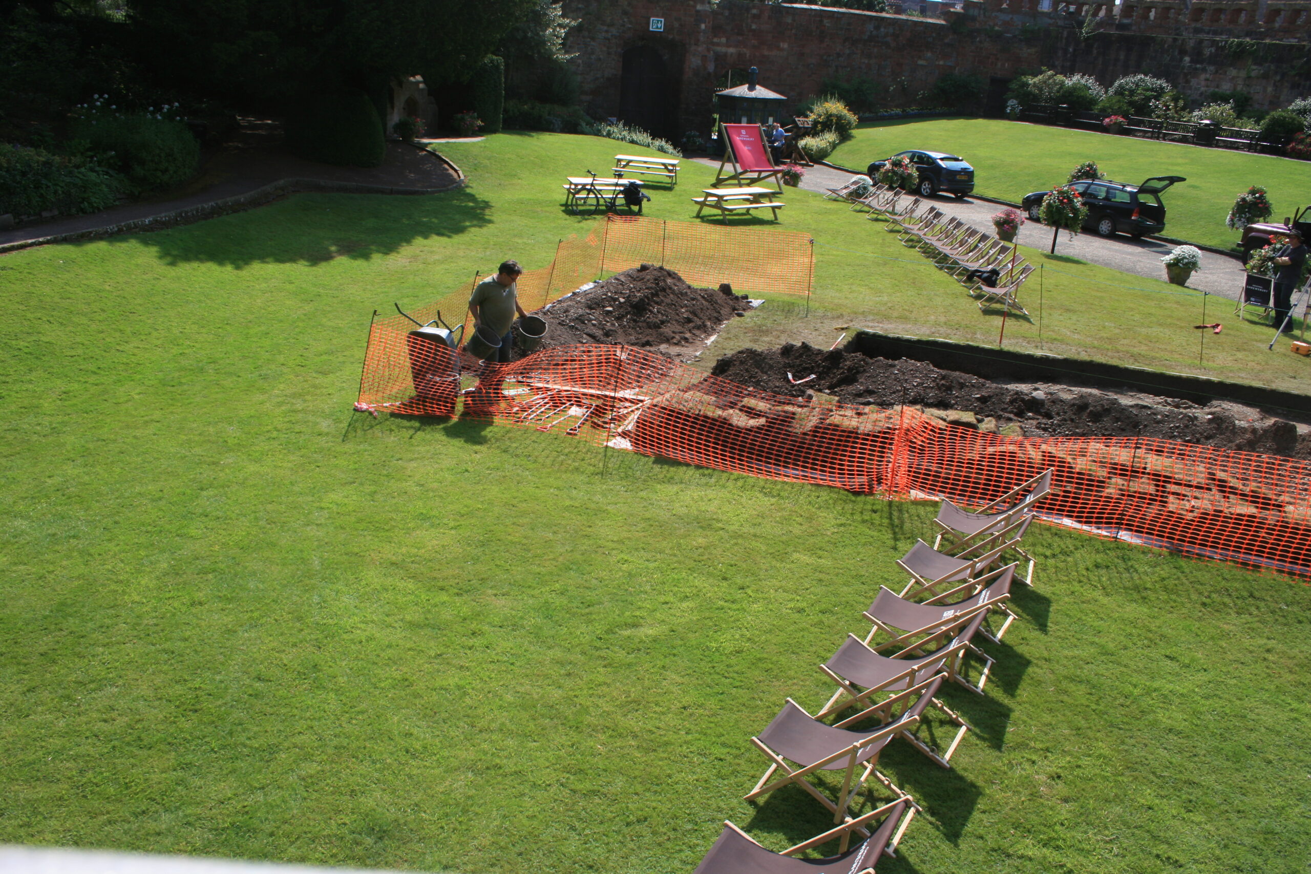
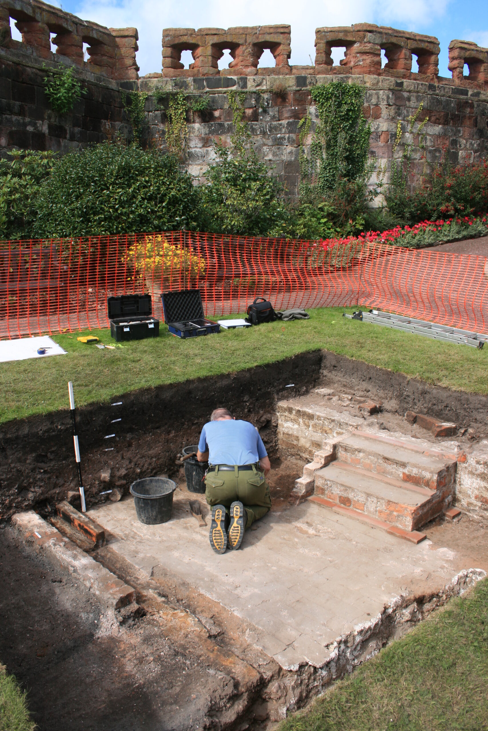
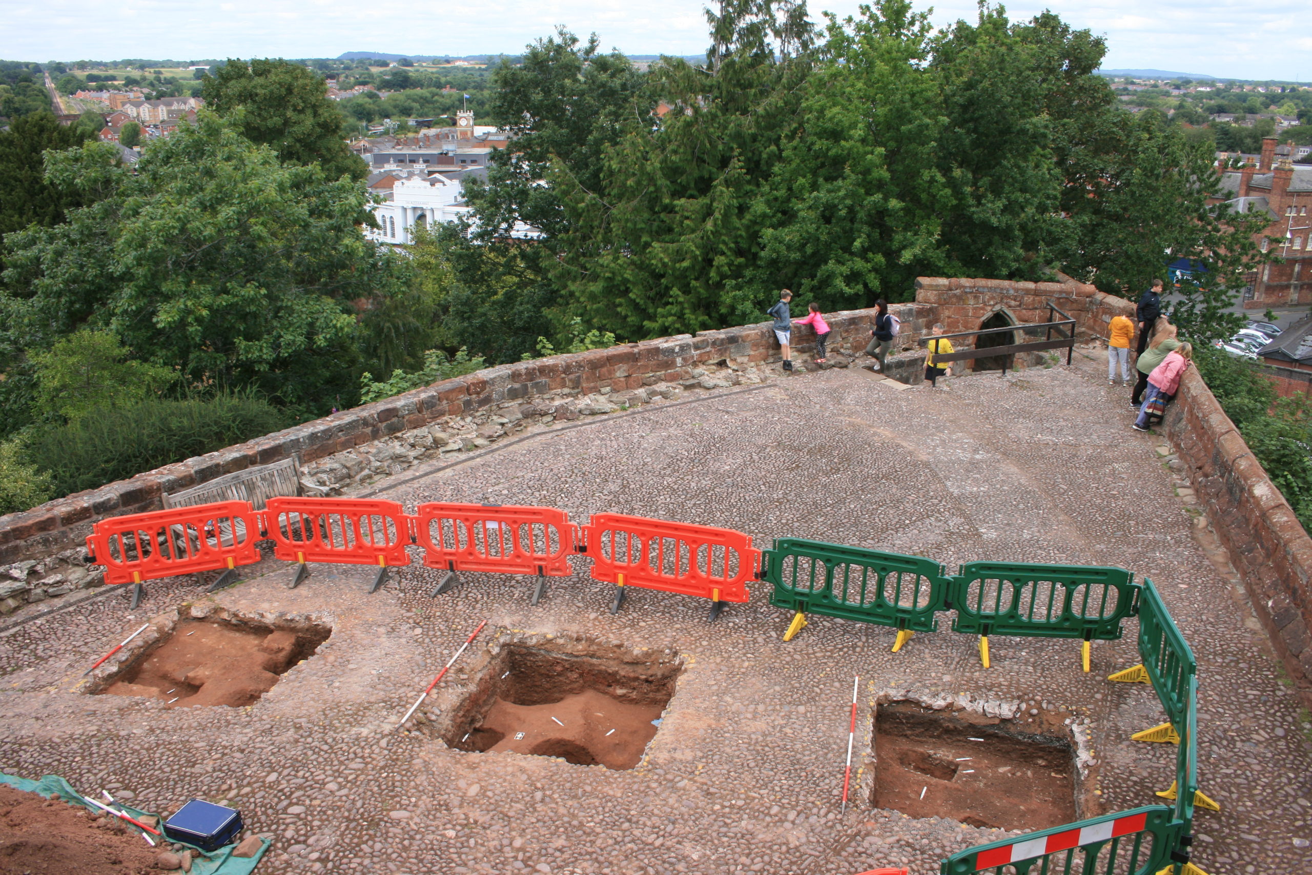
Whilst the archaeologist are at work on site at Lowther, I’m attempting to piece together the site’s history from the documentary evidence.

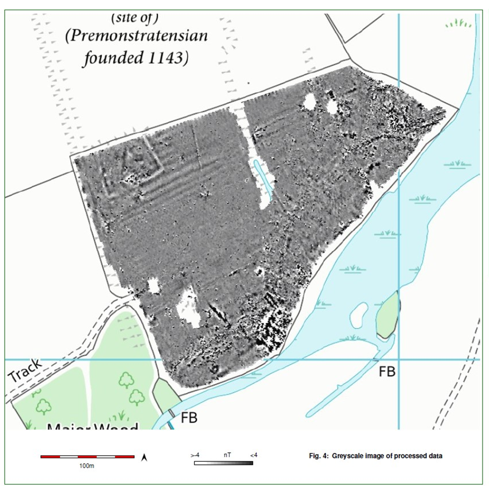
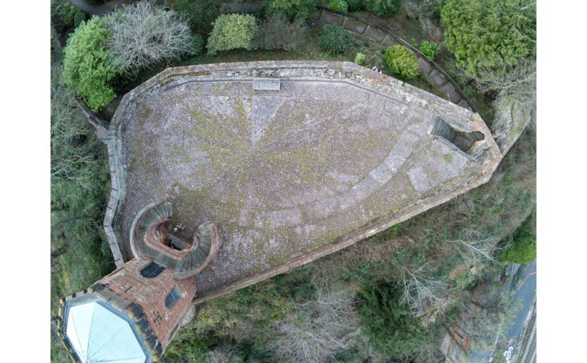
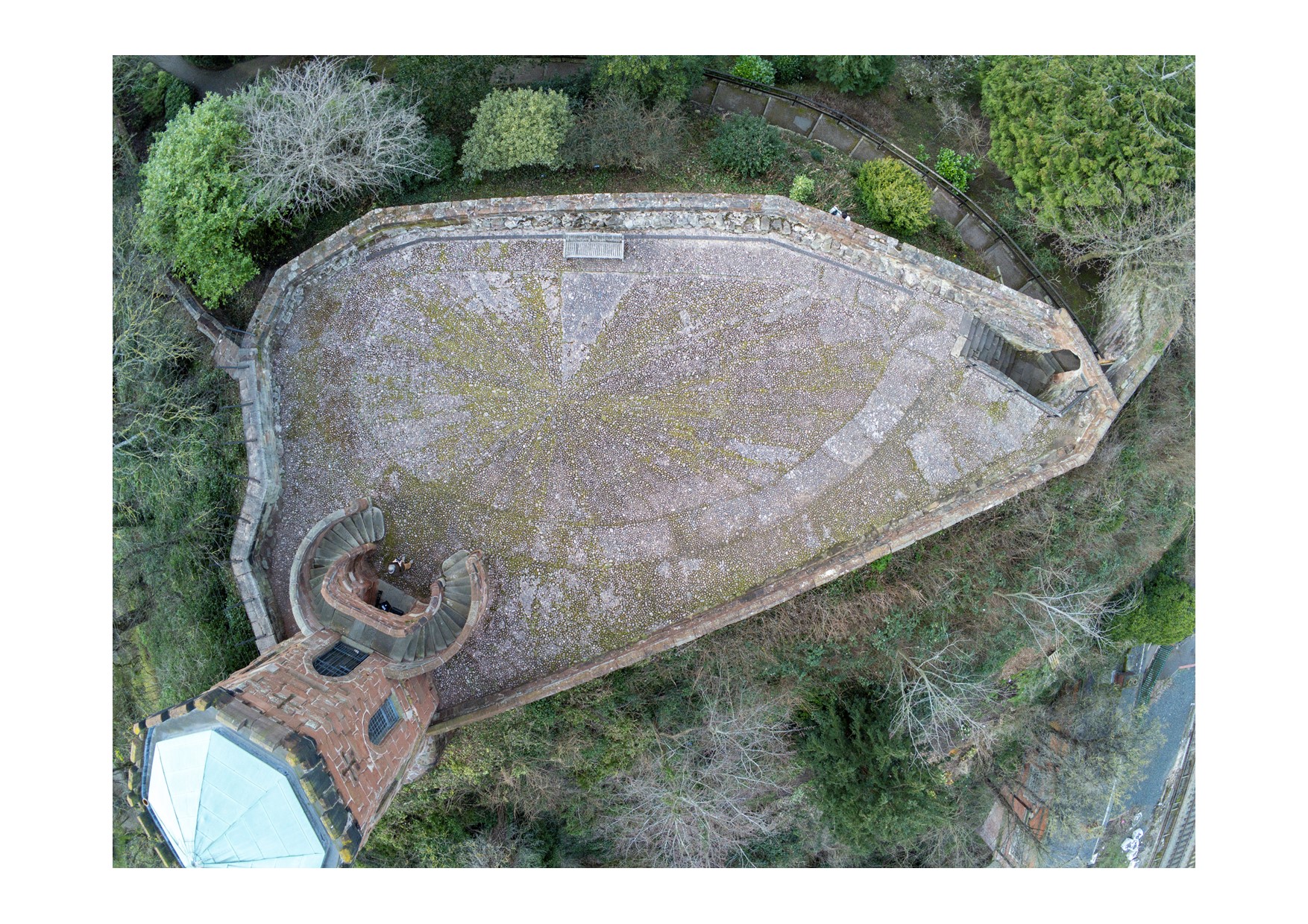
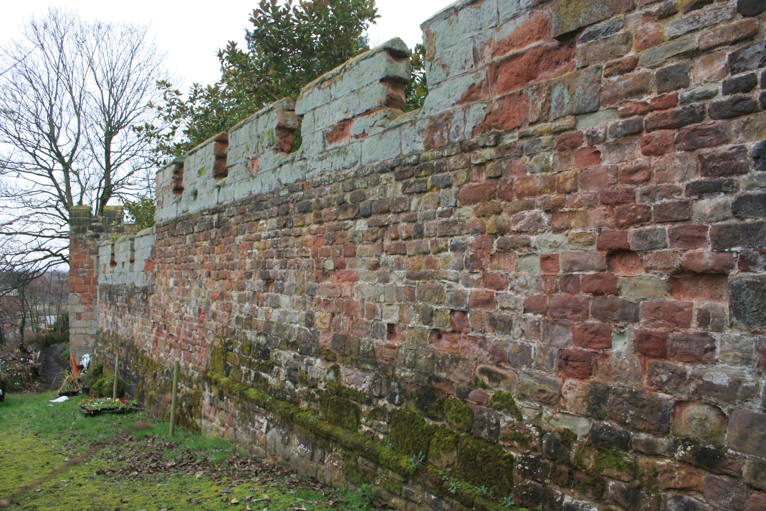
Our biggest challenge is tracing the origins of Lowther’s medieval castle and village, which we think date to the late eleventh or early twelfth century. For most of England, historians have a phenomenal source for settlement in the eleventh century: Domesday Book. This was William the Conqueror’s enormous survey of landholding, compiled in 1086. It gives various details, settlement by settlement, such as landholders, land under cultivation, notable buildings and households (for an introduction to Domesday and the latest research, listen to this BBC History Extra podcast by Professor Stephen Baxter). Domesday thus helps historians to trace the process by which the Normans conquered England over the twenty years from 1066.

Subscribe to our quarterly newsletter

Frustratingly for us, the area of modern Co. Cumbria doesn’t appear in Domesday Book. Because this region wasn’t conquered by William I, it found no place in the Domesday survey. As discussed in our project’s first Dig Diary entry, the region was only conquered in 1092, by William the Conqueror’s son, William Rufus. The Anglo-Saxon chronicle states that William Rufus, following his campaign of conquest, ‘sent many peasant people with their wives and cattle to live there and cultivate the land’. This was, effectively, a process of Norman colonisation. We’re hypothesising that the ringwork castle earthwork and village at Lowther date to this era.

What was this region like when the Normans arrived in 1092? Here, historians have worked hard from patchy evidence for the Kingdom of Cumbria in the tenth and eleventh centuries. This was a Brittonic kingdom (distinct from the Anglo-Saxon kingdom of the south) but, as Professor Fiona Edmonds has described, parts of the kingdom were ‘multi-lingual and multi-cultural’ (including settlers we might think of as ‘Vikings’ and their descendants). These groups were encompassed by the term ‘Cymry’ (‘inhabitants of the same region’), from which the names Cumbria and Cumberland derive.

Who were the settlers dispatched in 1092 by William Rufus to colonise the Kingdom of Cumbria? There’s no hard evidence, but Dr Henry Summerson has suggested (in his book Medieval Carlisle) that they hailed from Lincolnshire. This theory has found some support from the late Professor Richard Sharpe, although he noted that evidence for a Lincolnshire connection dates to around 1100, so may represent a second wave of settlement.

Subscribe to our quarterly newsletter

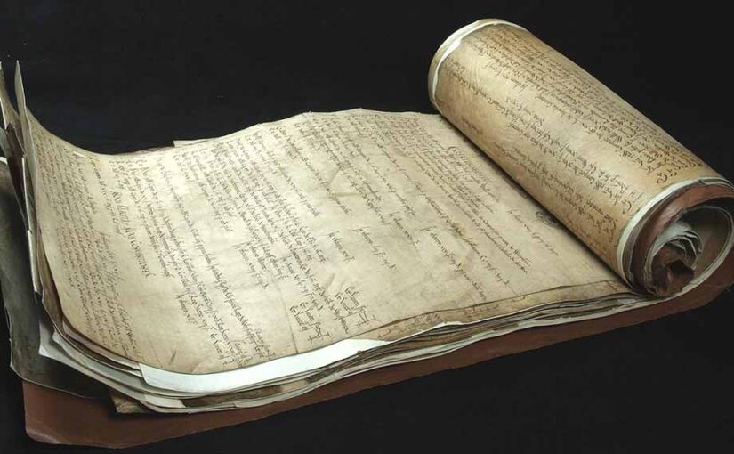
Our first major evidence for Norman rule of the region comes in 1130, under King Henry I (William Rufus’ brother). This is found in a Pipe Roll – a record produced by England’s central government detailing the Exchequer’s annual audit, so-called because the parchment membranes were sewn together at the top and rolled up to look like a pipe (read more on the Pipe Roll Society website). The first surviving Pipe Roll dates to 1130. Professor Sharpe used this and other evidence to reconstruct the early Norman administration of the region. He concluded that the Normans formed the shires of Cumberland and Westmorland out of the old Kingdom of Cumbria by 1130, and were administering these shires under the aegis of central government. Even then, however, both counties were run ‘as a territorial unit’ rather than shires proper, overseen by an administrator rather than fully-fledged sheriffs. (You can read Professor Sharpe’s analysis in full here). This is perhaps not surprising, given that in southern England the Normans could co-opt the governmental systems of the Anglo-Saxon state, including shires and shire courts. Cumbria was a different beast.

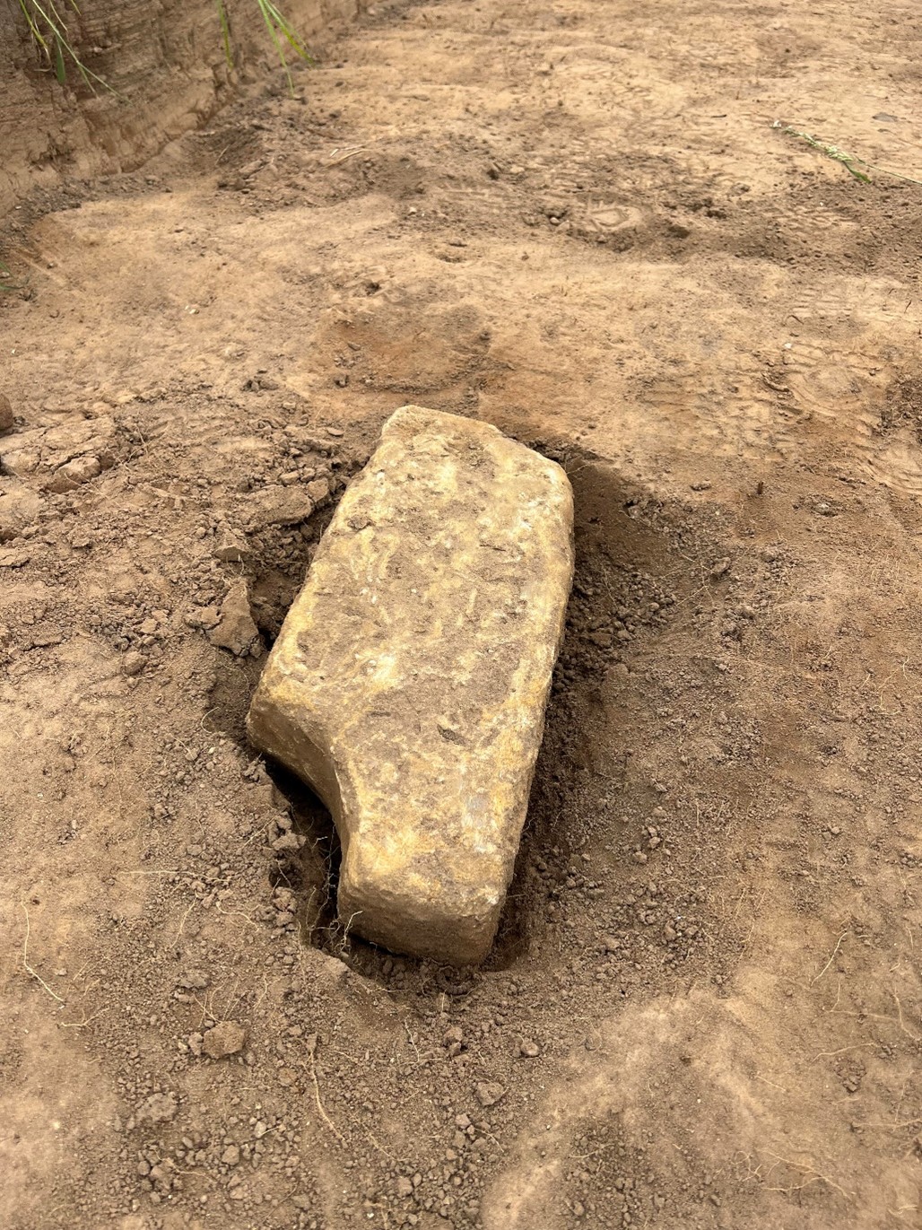
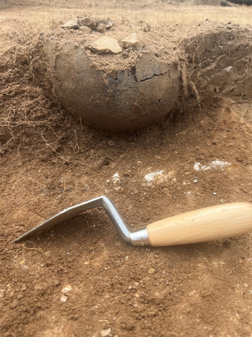
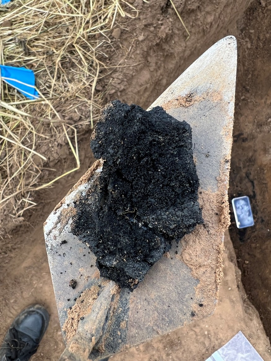
Is this all to say that written evidence can’t tell us much about the Norman conquest of Cumbria in general, or about our site in particular? Yes and no. It does highlight the importance of archaeological investigation in filling the gaps in written evidence – and suggests how findings from the Lowther Castle and Village project could be significant to both historians and archaeologists in tracing the process of Norman conquest and colonisation and its realities on the ground. On the other hand, we do have written evidence for the Lowther site dating from the thirteenth century onwards, which we can use together with the archaeology to trace the site’s biography. More of this in a forthcoming post!

Subscribe to our quarterly newsletter

Follow the project on Twitter via the hashtag #LowtherMedievalCastle.

What is on top of Shrewsbury’s Motte?

Dr Nigel Baker, Excavation Director of the Shrewsbury Castle Excavation 2022 outlines what he hopes him and his team hope to find over the next two weeks with the main focus on the previously unexplored motte.

A third season of excavation funded by the Castle Studies Trust is about to begin at Shrewsbury Castle. In 2019 a trench was excavated across the interior of the inner bailey and in 2020 an inner bailey rampart was sampled. Attention has now turned to the top of the motte, and to the north curtain wall. The excavations, the first ever to take place at the castle are carried out by a team of local archaeological volunteers under the direction of Dr Nigel Baker and David (Dai) Williams together with students of University Centre Shrewsbury (University of Chester) led by Dr Morn Capper.

Subscribe to our quarterly newsletter

The motte top excavation will establish just how much damage Thomas Telford did to the medieval motte when he was modernising the hall and landscaping the castle in 1786-1790. Ruins on the motte top were cleared to make way for a Gothic summerhouse known as Laura’s Tower, with a garden laid out around it. The team will be looking in particular for surviving evidence of the Tower of Shrewsbury, the timber watch-tower, assumed to be of 11th-century origin, that is known to have collapsed in 1269-71.

Vertical view of Shrewsbury Castle Motte (copyright James Brennan Associates)

The irregular plan of the motte top seen in the drone photo (undertaken by James Brennan Associates for the current conservation management plan for Shropshire Council, the site owner) arises from a number of factors. Originally probably oval, the straight line across the bottom of the picture is a pale sandstone wall with red sandstone stripes built, probably by Edward I’s masons, across the damaged side of the motte after a landslip into the river below in the 13th century. Laura’s Tower occupies the bottom left corner, set off-centre on the base of a 13th-century tower demolished by Telford. The lobed shape of the motte on the left of the photo results from at least two phases of medieval building incorporated in the retaining walls: an angled structure with a high chamfered plinth and recessed masonry panels, superimposed over a projecting curving rubble footing. These remains were seen and recorded for the first time this year as part of the ongoing CMP work.

A second trench is to be opened on the north curtain wall. A long stretch of this wall is unusually consistent in its fabric, with small, squared rubble and two offset courses. 18th-century illustrations show however that a projecting bastion formerly stood in this area, of which no trace can be seen in the standing masonry. The suspicion is that a major part of the wall here has been rebuilt, and the trench is designed to explore this question – and to establish the nature of the surrounding stratigraphy.

Part of the north curtain wall of Shrewsbury Castle. The even coursing apparent over this long stretch of masonry is at odds with the complex fabric visible elsewhere in the wall and with 18th and early 19th-century illustrations showing a projecting bastion in this area. Excavation will seek to confirm whether or not this stretch has been rebuilt, and to locate in plan the features seen in the illustrations. Copyright Nigel Baker

In addition to an introductory display to be mounted in the on-site marquee, there will be two further displays in the town running concurrently with the excavations. In Shrewsbury Museum & Art Gallery in the Square, Dr Capper’s team is assembling a display featuring artefacts found in the first two seasons, while in Castle Gates Library (the former Grammar School buildings) a display is in place that explores the evidence for the former castle outer bailey, within whose perimeter the library stands.

The excavations run from July 18th to 28th. Visitors are welcome every day except those when the castle is closed (Thursday 21st and Thursday 28th).

Subscribe to our quarterly newsletter

Unravelling the past of Hoghton Tower

Steven Spencer and Elena Faraoni of the Hoghton Tower Preservation Trust, look at the results of their work, funded by the Castle Studies Trust in 2019, in trying to find out more about Hoghton Tower in Lancashire.

Hoghton Tower sits 650 ft above sea-level in the heart of the Lancashire countryside. The stories of its visitors and family members are documented and shared whether it be in books, portraits, family albums or documents in the Lancashire archives. But there is one story which has always intrigued us and that is: what was the first tower of Hoghton Tower and where was it? It is clear when looking at the building today that this, like many other historic houses, is a ‘patchwork’ of different projects by different generations interlaced and blended…but where did Hoghton Tower start? Where was the original tower?

Subscribe to our quarterly newsletter

 There are some clues: the ageing of the stone, the position of the well house, family stories passed down the generations, the shape of the windows and a mysterious mound of stones on the north side of the buildings. One of these stones has an intriguing mason’s mark… Spurred on by the interest of a group of our amazing volunteers who had just finished some research into historic graffiti and masons’ marks it was time to do some investigation under the guidance of Dr Mike Nevell and his team at Salford University. We designed a research project based on archaeological digs, building recording, geophysics and archives research based on the key exam question “where was the great keep of the Hoghton Tower hill?”

North side of Hoghton Tower (copyright Hoghton Preservation Trust)

 Thanks to the grant from the Castle Studies Trust, work quickly got underway. Through a series of Salford-led workshops, the team surveyed, recorded and reviewed old photographs and pictures.

Then there was the wonderful five-day archaeological dig.

As they passed through the perimeter fencing on to the dig site, the usually mild-mannered volunteers underwent personality transformations as pairs of friends and even married couples were ‘pitted’ against one another. Was this the site of a 14th century Pele Tower, a 1643 victim of the First Civil War, who would make the crucial find?

Under the patient guidance and control of the Salford team, the test pits were marked out and the excavations began, to many this was the chance of a lifetime and was eagerly embraced. Each find was announced with enthusiastic shouting from the discoverer and muted derision from those yet to make a meaningful contribution.

Hoghton Tower Gatehouse from inside the courtyard (copyright Hoghton Tower Preservation Trust)

As the week progressed, 14th to 19th century finds were unearthed, thankfully shared out between the eight test pits. Clay pipe bowls (1640 to 1680), a musket ball, heat affected glass, sherds of medieval pottery and fragments of medieval roof tiles. Below a stone rubble layer, evidence of a stone-built structure was revealed in the form of large dressed stone blocks, together with walls and a stone flagged floor.

Spurred on by the whole experience, and encouraged by the de Hoghton family, the volunteers have produced and presented an ‘Outdoor History’ tour which aims to share the latest thoughts and discoveries. 

Was this the site of the Hoghton Tower? Did we find anything categorical? Well yes and no. The archaeology revealed previously unrecorded stone structures. These together with the artefactual evidence were able to confirm that this part of the hilltop was occupied during the late medieval/early post-medieval periods. The geophysics also gave us other areas that warrant more digging and researching. So, some confirmation but also a lot more to understand and discover on this windswept hill!

Subscribe to our quarterly newsletter

Featured image of Hoghton Tower, copyright Hoghton Tower Preservation Trust