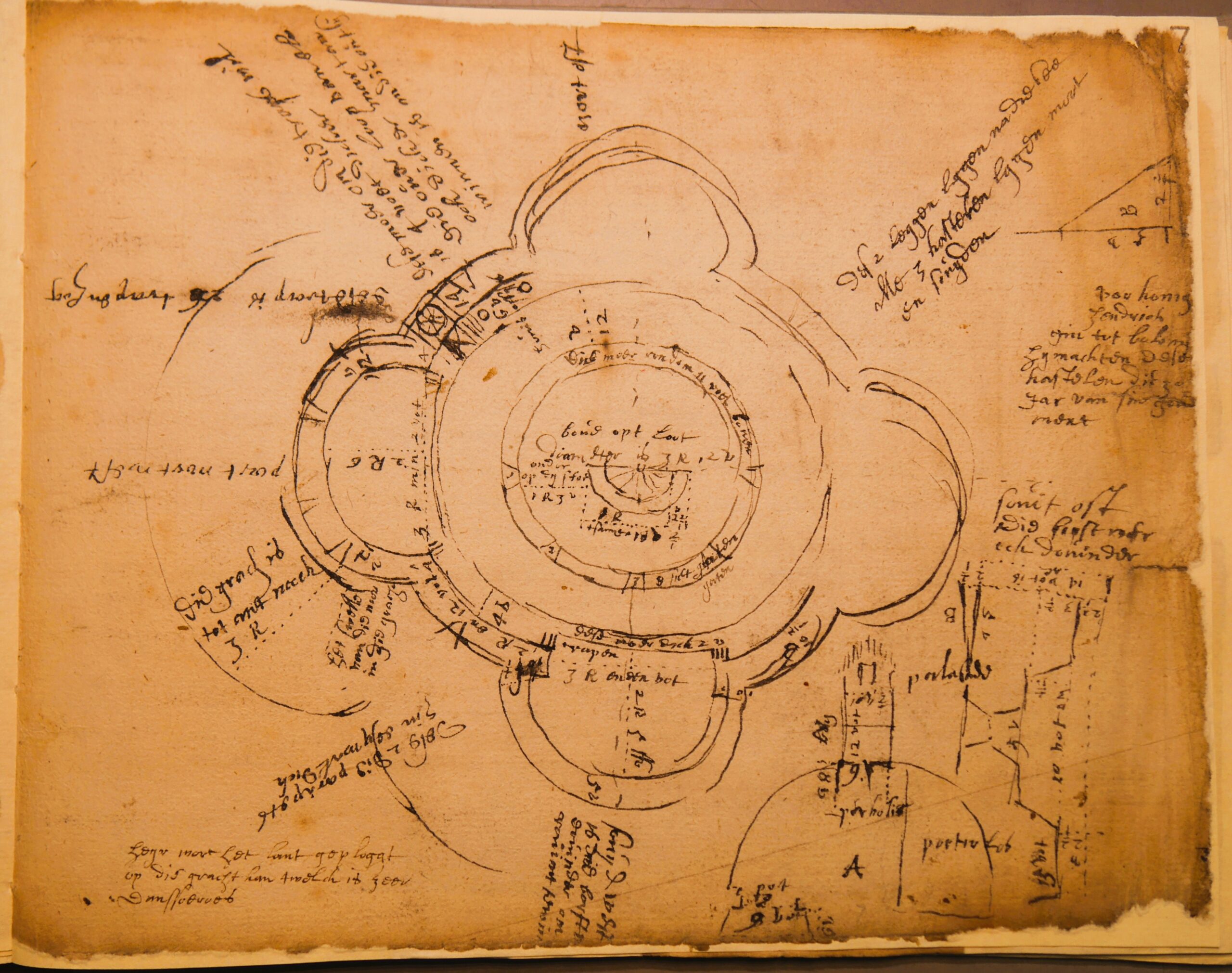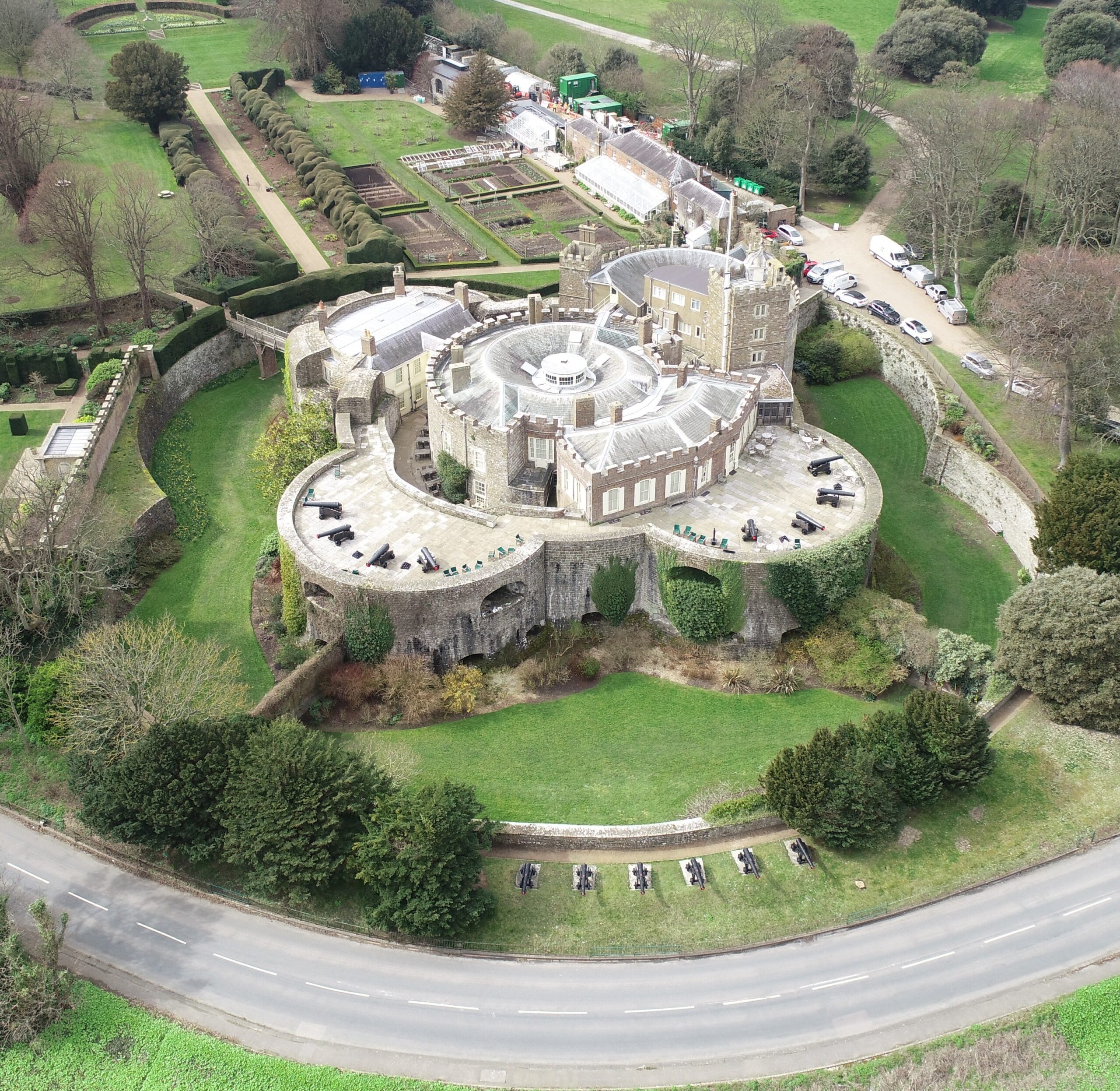
Simon Coxall, Dig Director of our Clavering Castle excavation looks at the end of the excavation and what happens next.
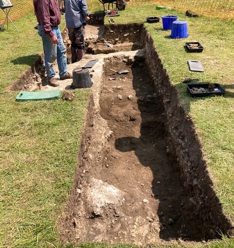
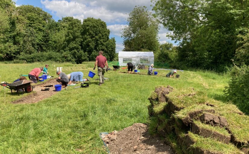
The excavation phase at Clavering castle neared completion in time for a community open day on Saturday 21st June 2025.
As well as welcoming around two hundred members of the public on a guided tour of the excavation trenches, the project has been blessed with visits from Historic England and Professor Robert Liddiard of the University of East Anglia.
Subscribe to our quarterly newsletter
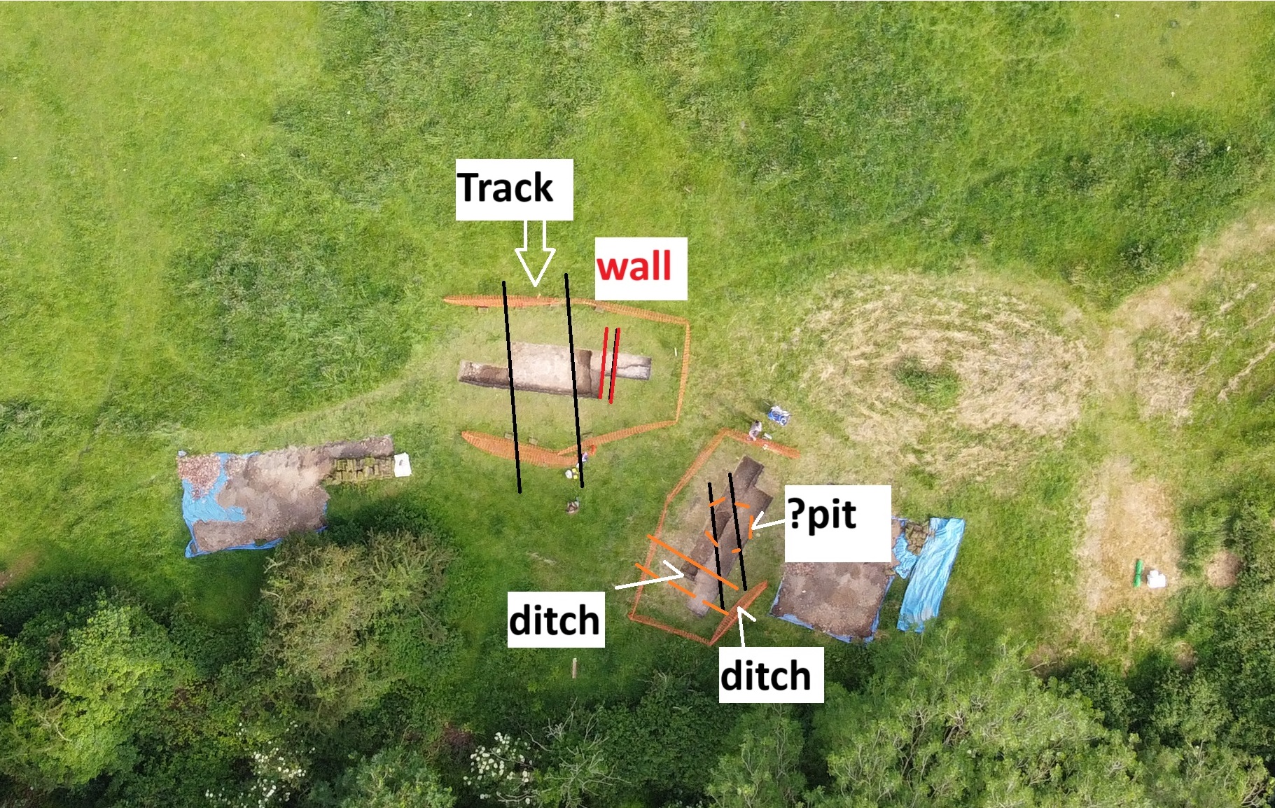
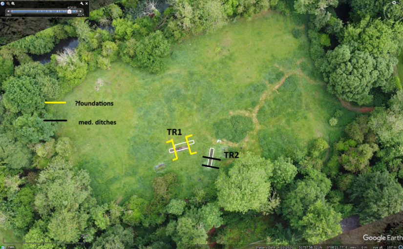
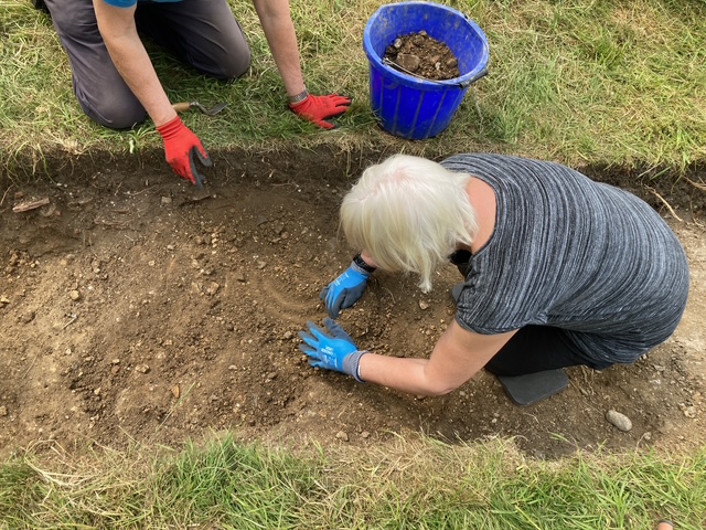
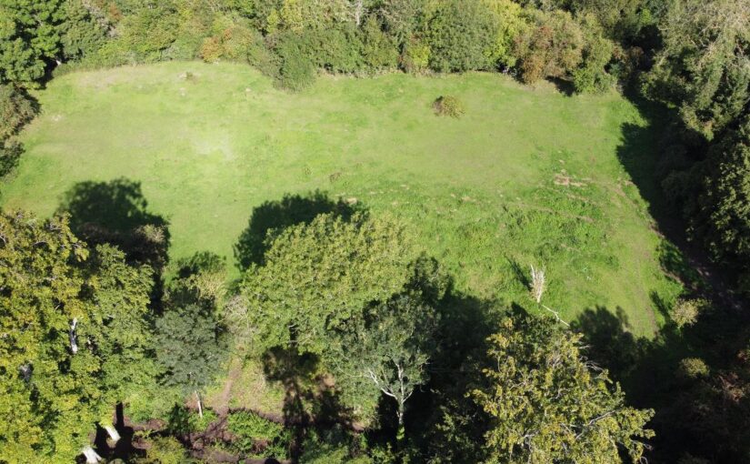
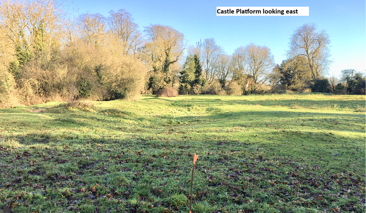
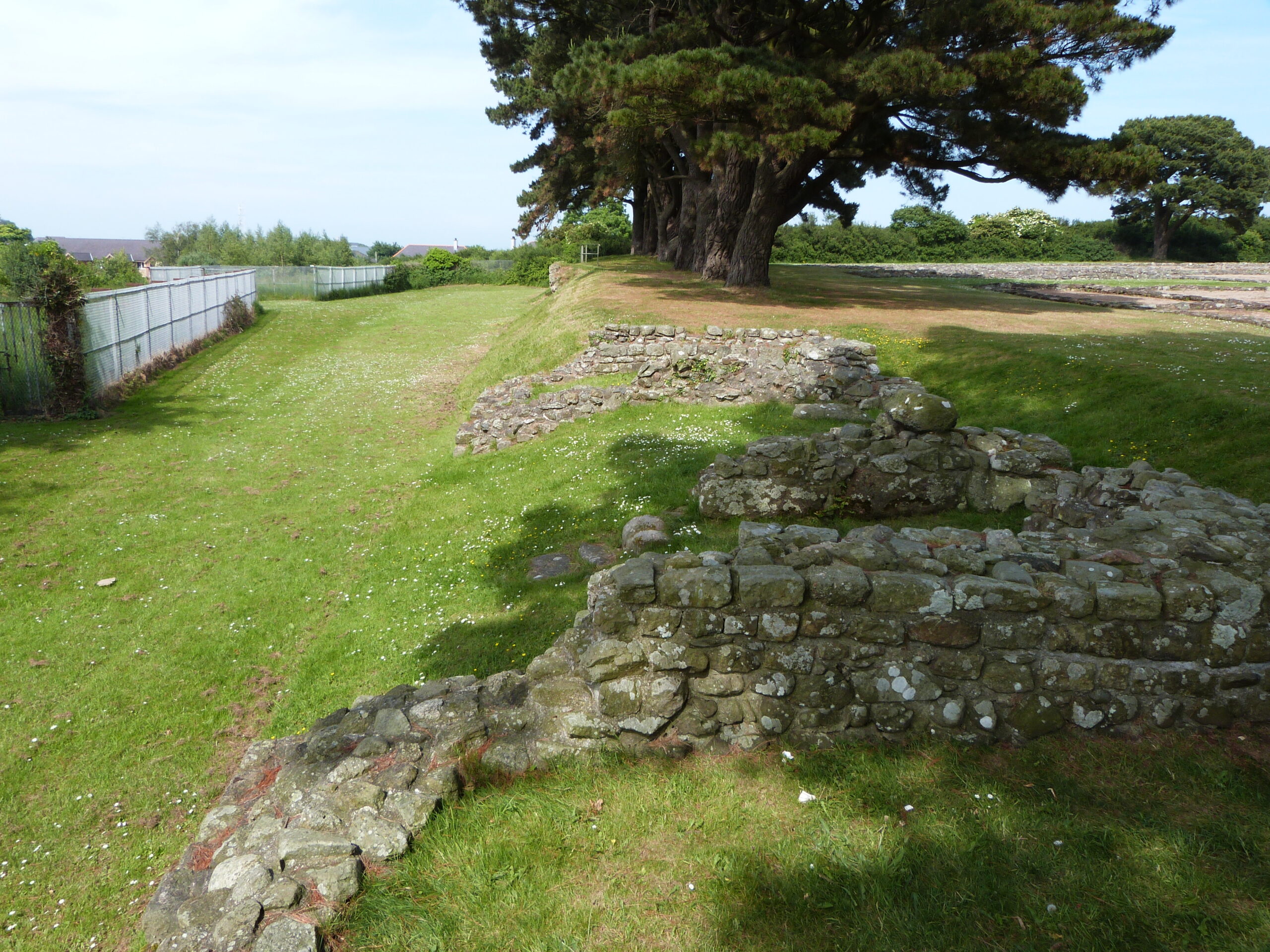
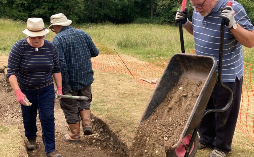
Trench 1 and 2 have now been thoroughly excavated, with just a little more to do in Trench 2 of which more below. Across much of the trench the layers representing the top of the original castle platform have been reached. The castle platform approximately 100m W- E by 60m N-S and approximately 4m deep was constructed by placing a large ‘brick’ of made-up ground in the valley of the River Stort and using the course of the river as the northern arm of the moat. The remaining three arms of the moat were then cut, their contents in part being used to build up the platform. Accordingly, there is no natural on site within reach of the excavation trenches, which have a maximum depth of c 1.25m. Nevertheless the uppermost surface of the platform at the time of its original construction is identifiable across both trenches. This layer is uniform orange-brown compacted clay with flint rubble in appearance and bears no evidence for occupation.
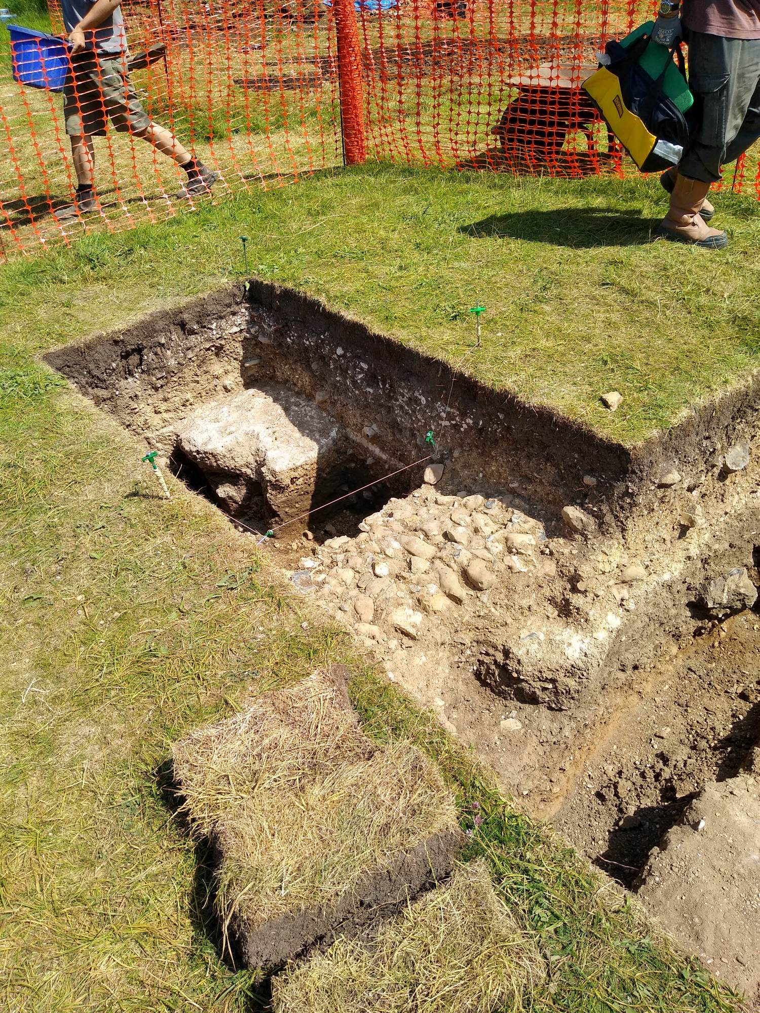
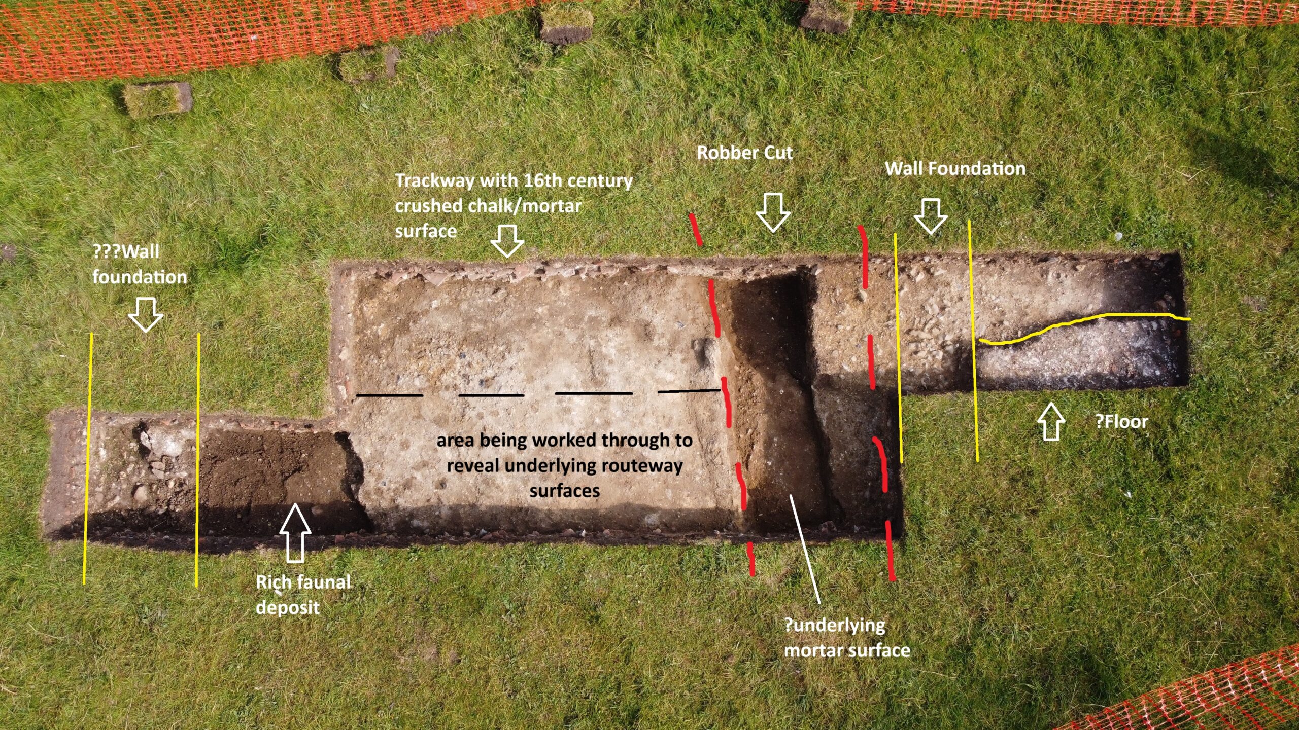
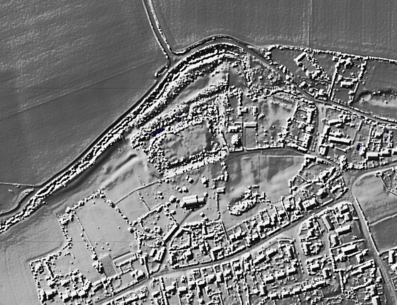
In Trench 1 cleaning and recording casts into sharper focus the features of the gatehouse entrance to the castle estate first exposed by geophysics in 2020. This consisted of a metalled trackway approximately 4-5m in width on a broadly N-S trajectory and bordered to its east by a flint walled building (??porters lodge) with chalk rendered internal walls and surviving chalk floor. At the time of the demolition, c1540’s, the tiles of its roof cascaded onto the adjacent trackway. The external faces of this structure directly abutted the trackway but had been completely removed down to their sandy gravel base by the demolition crew. On the western side of the trackway a further structure had been even more comprehensively demolished, the evidence being limited to a scattering of flint nodules just below the topsoil and a large pit full of substantial daub with their rod impressions still intact. There appears no later disturbance of the site suggesting, following its concerted demolition, neglect sealed the site as a capsule of life on site between c1050 and 1550.
Subscribe to our quarterly newsletter
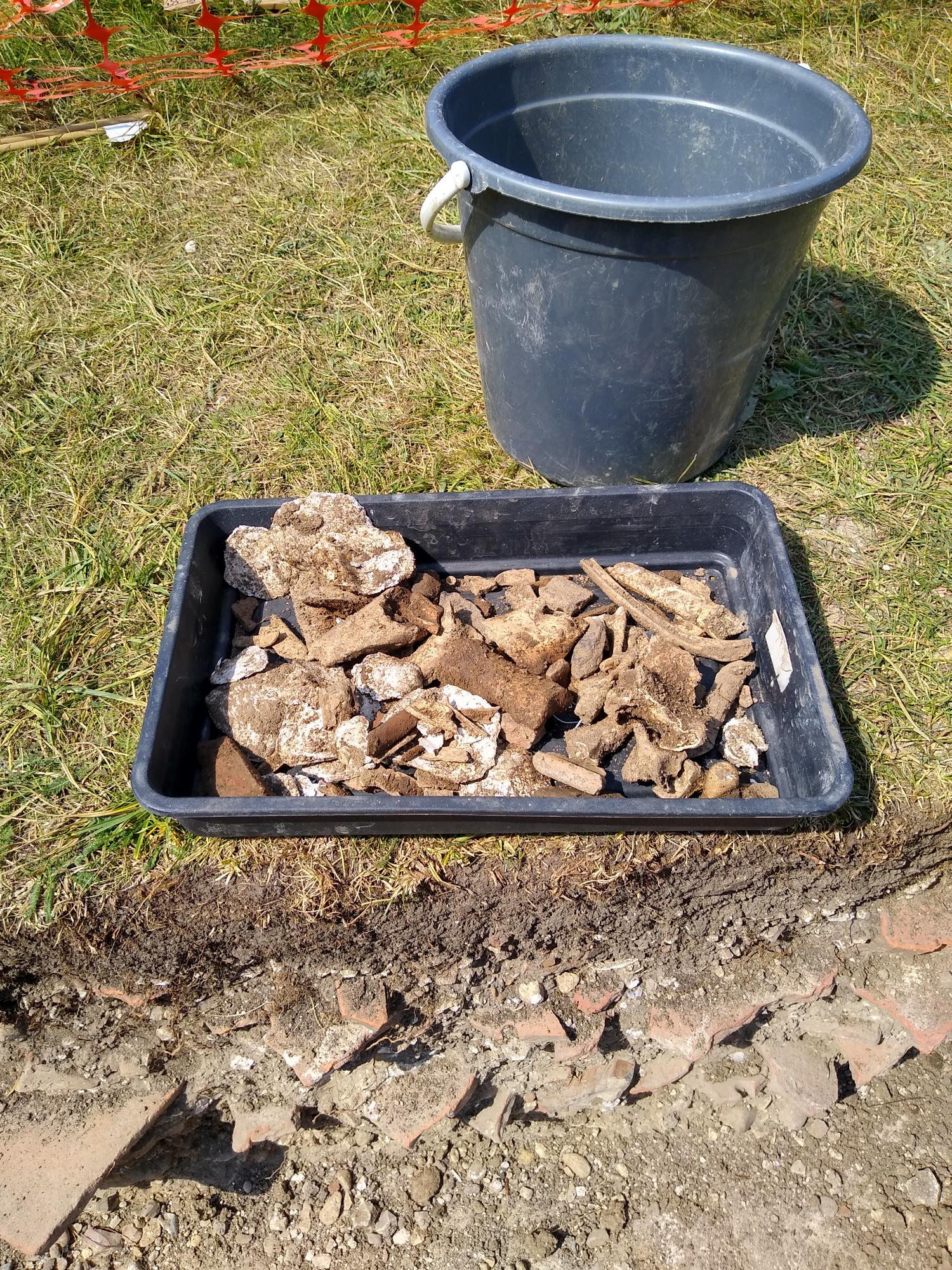
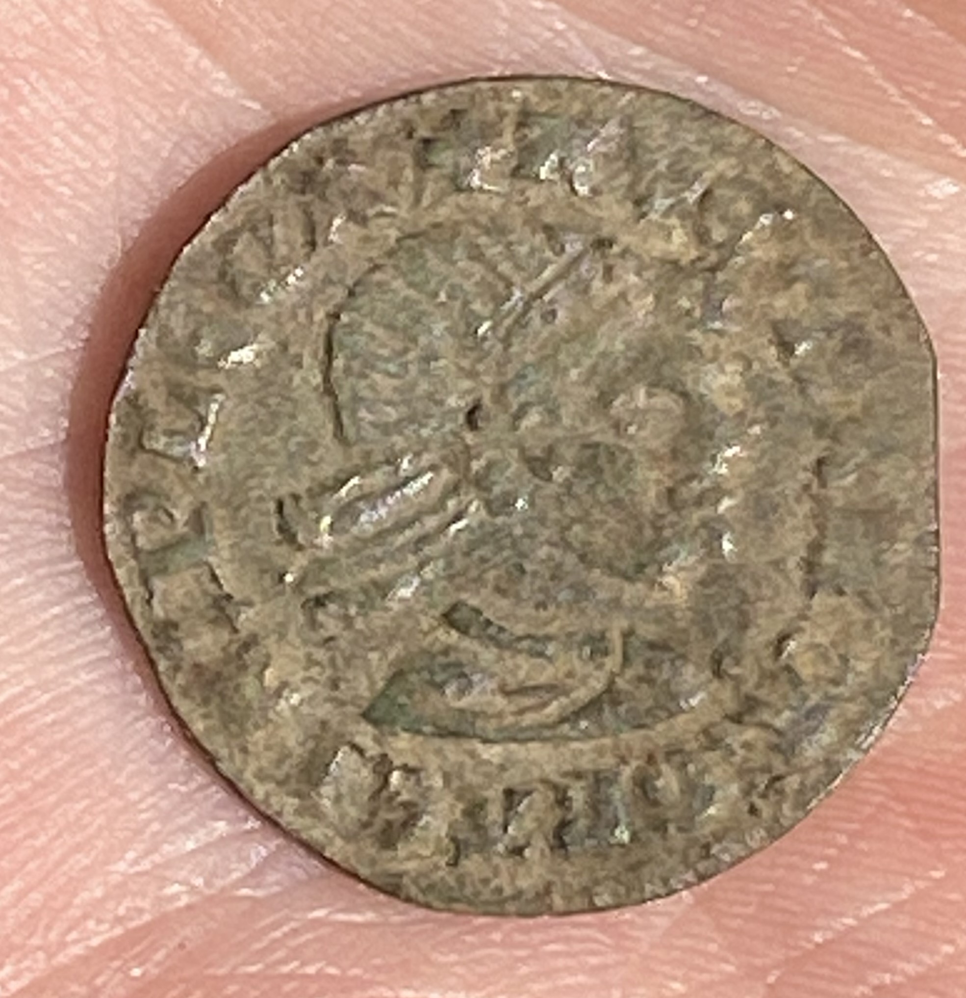
The trackway has presented the potential for exploring a time slice of activity in this routeway area spanning the lifetime of occupation on the castle. As one descends here below the Tudor trackway, pottery recovered here stretches back from the glazed Tudor period wares through the earlier sandy wares to the shell-tempered wares dating back to the origins of the castle estate which is estimated as the mid-11th century. Small finds have also appeared: a 2cm gilded fastening or item of jewellery at some of the lowest levels in the sequence, together with a fragment of robust blue ‘vessel’ glass.
All is accompanied by hundreds of oysters within the demolition levels and hundreds of animal bones distributed through almost all contexts. Post-excavation analysis promises to define dating with greater precision.
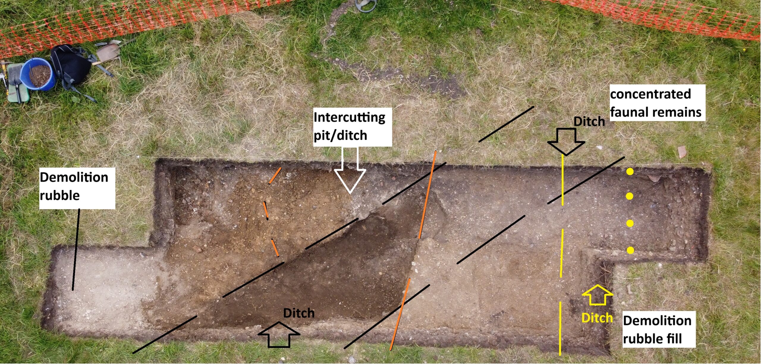
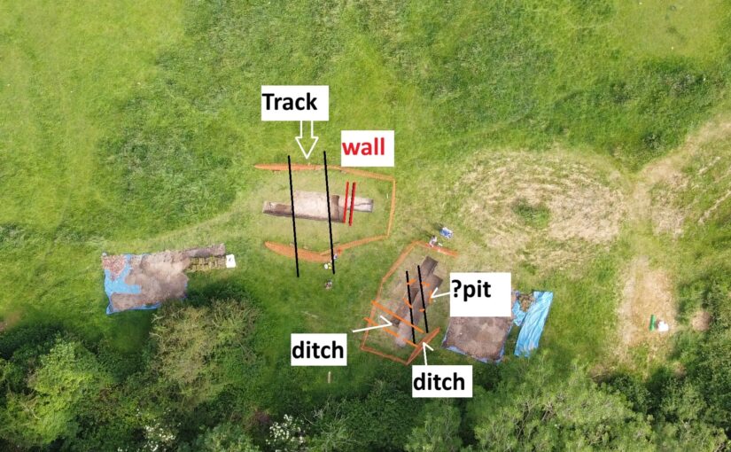
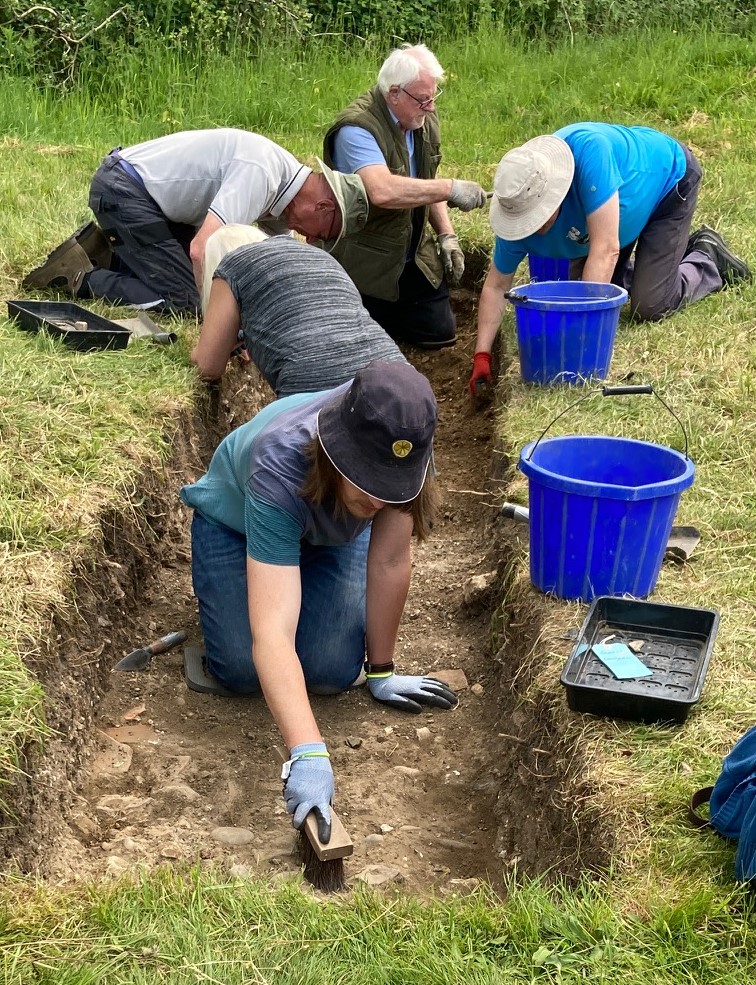
Trench 2, while beyond the main evidence for structures, still betrays evidence for a concerted refashioning of the site roughly dated to the later 14th century. This coincides with historical evidence for the Neville family’s refashioning of the estate. An earlier surface cut into by ditches and pits associated with early phases of occupation, was across Trench 2 capped by a consistent capping layer of compacted sands and gravels, thus sealing the animal bone-rich contexts in such features. Approximately 1500 animal bones have been recovered across all contexts. It is intended this assemblage will be sent to a university as subject matter for a student’s zooarchaeological analysis.
The last of these ditches at the northern limits of the trench continues to descend deep into a ditch penetrating the sites’ original platform material. This continues to produce pottery including a large fragment of medieval mortarium and more animal bone some, of which will find themselves submitted for C14 analysis. These sealed dark humic contexts also lend themselves as key areas of environmental sampling which is being done by Oxford Archaeology East.
As with all sites, as trenches begin to be filled in, the work has only just begun.