With the start of September upon us, the Castle Studies Trust is now accepting grant applications to fund project to run in 2021. Submissions opened on 1 September and close 1 December. We award grants of up to £10,000 to support research into castles.
Last year we had 13 applications from England, Ireland, Scotland, and Wales and were able to fund five of them. It’s always fascinating to see the ideas being suggested, from reconstruction drawings and excavations, to videos and surveys of vegetation around castles.
We decide which projects we fund near the start of the year, usually February. This year has been challenging with lockdown delaying work, but our projects have soldiered on as best they can. Hopefully by the time we sit down to discuss what to fund in 2021 things will have settled down.
So if you have an idea you have until the start of December to prepare an application. And if you know a researcher who might be interested, make sure they know about our grants.
We will share news of what projects are under consideration in December, once all the applications have come through. In the meantime, make sure that you are subscribed to our newsletter and blog so you can stay up to date.
In an article that first appeared in Current Archaeology issue 360 (March 2020) Duncan Wright and Samuel Bromage discuss how the two research projects which they undertook at Laughton-en-le Morthen, with CST’s funds, has shown how the siting of castles was influenced by the older patterns of high-status activity in South Yorkshire.
Castles are perhaps the most iconic buildings of the medieval period, which for many are synonymous with feudal warfare and conflict. In spite of this popular perception, the idea that castles were mainly built for military purposes has been questioned for some time, and archaeologists now point to a number of reasons for their construction. In England, even fortifications thrown up in the wake of the Norman invasion are no longer seen purely as tools of martial conquest.
Instead, it is increasingly clear that earlier patterns of aristocratic life were important, and that the manorial residences of the Anglo-Saxon nobility in particular were chosen for the siting of early castles. Such targeting should not come as a surprise—the Conquest is understood as an exercise in elite regime change, which saw the near wholesale replacement of existing lords with incoming Norman tenants-in-chief. Yet, the way in which this transformation physically manifested is poorly understood. Few relevant sites have been subject to excavation, and where archaeological intervention has taken place it has often been piecemeal or of limited size. The Landscapes of Lordship project seeks to improve this picture, and recent work at Laughton-en-le-Morthen in South Yorkshire, funded by The Castle Studies Trust, offers a case study of archaeology’s potential to reveal more about this fundamental aspect of the Conquest.
Anglo Saxon Elements
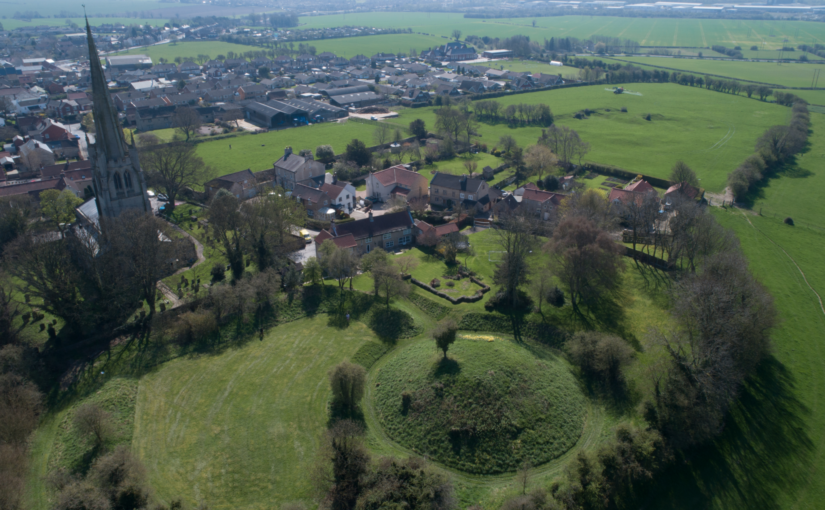
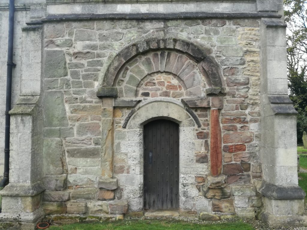
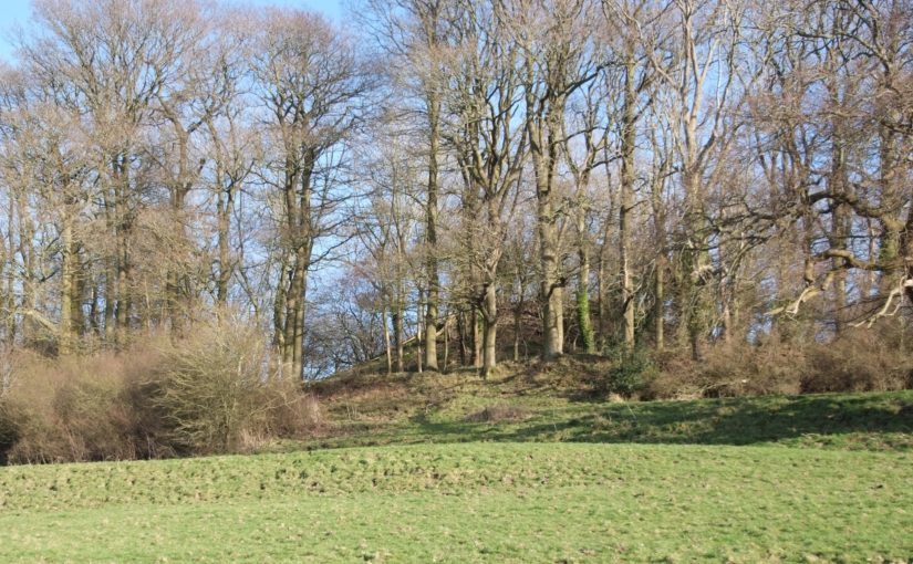
Laughton today is a modestly-sized village in the Rotherham district, perched high on a limestone ridge which offers impressive views, especially westwards towards the Peak District. The historic core of Laughton is focussed around the parish church of All Saints and the adjacent remains of a motte and bailey castle. A visit to the former provides the first hints of Laughton’s early history; an elaborate 10th or 11th-century doorway is located in the church’s north wall, and a similarly-dated grave slab is built into the eastern exterior of the chancel. Inside the church, a triangular-headed opening, a distinctive pre-Conquest form, covers a piscina—a shallow basin used to wash communion vessels. These pieces of stonework indicate the presence of an earlier building at Laughton, decorative fragments of which have been reused in later phases of construction. It is almost certain that this structure too was a church, as stone was almost never used for secular building in early medieval England.
Elaborate C10 or C11 doorway at the parish church.
In 2005 archaeological excavations due east of All Saints also found evidence of pre-Conquest activity, in the form of a circular grain-drying kiln. A significant assemblage of 10th—11th-century pottery was recovered from the excavations, highly unusual finds given that South Yorkshire was largely aceramic at this time. Documentary sources help to provide some context for the excavated material and that found in the church. The Domesday Book records that, prior to the Conquest, Earl Edwin of Mercia had an ‘aula’ or hall at Laughton. Edwin was a leading noble, but also a leading protagonist against the Norman regime. Brother-in-law of Harold Godwinson, Edwin, together with his younger brother Morcar, raised an unsuccessful rebellion against William the Conqueror after the Battle of Hastings. Dispossessed of his extensive lands, Edwin was ambushed and killed three years later.
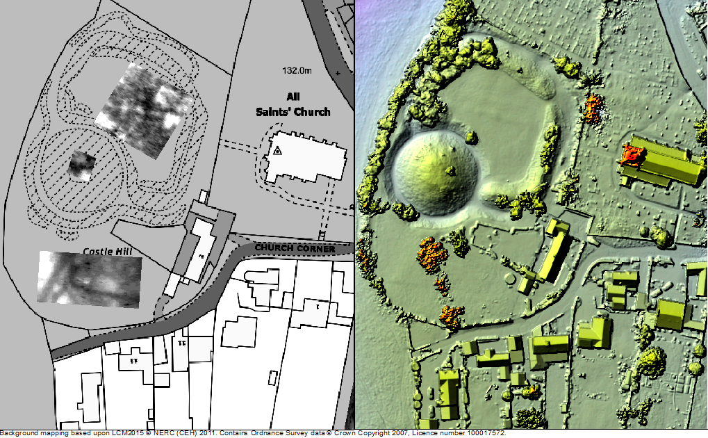
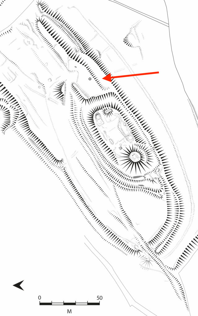
Exactly where Earl Edwin’s hall was located in Laughton has long been a mystery, with the popular belief that it lies under the earthworks of the castle. The Landscapes of Lordship project set out to test this idea, firstly through a scheme of topographic and geophysical survey. A detailed topographic model of the castle and the surrounding parts of the village was made using a drone, and earth resistance survey provided a plan of buried features from the bailey and an area of open ground to the south. The results from the combined techniques exceeded even the expectations of the team, identifying a host of important archaeological features. In the bailey, geophysics picked up a number of anomalies which were also detectable as a low earthwork—the size and shape of which is consistent with buildings, and probably represent the centre of Earl Edwin’s hall complex. To the south of the bailey, ditches seemed to form two sides of an enclosure, one side of which was interrupted by the apparent construction of the motte.
Survey results from the first year of research funded by the CST
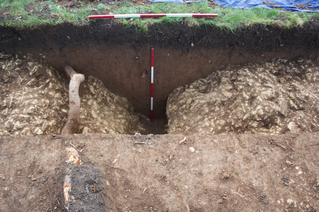
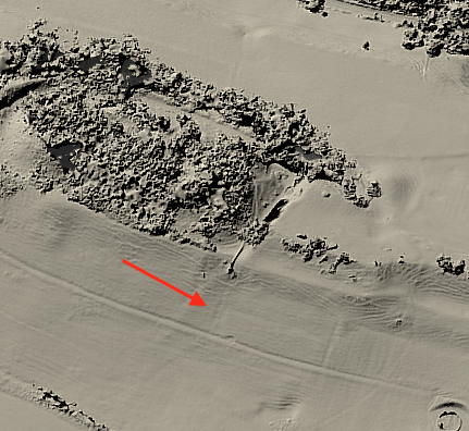
Although the project team were confident that these features were related to Edwin’s estate centre, it was decided that a targeted excavation would be best to confirm this conclusion. A second phase of work, also supported by the Castle Studies Trust, was instigated to ground truth some of these findings, with two trial trenches dug over the ditches to the south of the castle. Excavations uncovered a V-profile ditch with a distinctive narrow base, which would have served to locate a wooden palisade, supporting the premise that this was indeed Edwin’s compound. No datable material was recovered from the ditch but the material inside was notably clean and consistent, indicating that infilling had occurred in a short window or perhaps as a single event. Beyond the enclosed area, another more substantial ditch was found—this feature seemed to project southward from the castle and may be part of an enclosure surround the village, the form of which is preserved in the historic street plan.
Hunting the Hall
The Landscape of Lordship investigations, then, support the idea that Laughton was indeed the site of Earl Edwin’s ‘aula’ and other buildings, which were surrounded on all sides by a ditched enclosure enhanced with a palisade. Edwin and his entourage would have had exclusive use of the elaborate stone church, which topographic evidence demonstrates lay within its own small rectilinear churchyard. Outside of this high-status enclave, the find of a drying kiln suggests that Laughton acted as a point for the collection and processing of agricultural produce, potentially from an extensive area. Indeed, Laughton was the centre of a large territory incorporating several later parishes, the component settlements of which are now most discernible by their ‘Morthen’ place-names.
Ditch found during the excavation
At some stage, Laughton’s lordly compound was radically transformed—the palisade fence was taken down and the ditches rapidly filled in; in their place was constructed a massive earthwork motte across the western edge of the enclosure. A kidney-shaped bailey incorporated the most important buildings including the hall, but it is impossible to tell without more investigation whether these were maintained or replaced with new structures. Probably around the same time the settlement to the east of castle and church was surrounded by a rectilinear enclosure, effectively forming an extensive outer bailey of the castle. Such arrangements are not uncommon in England but perhaps the most famous is at Pleshey in Essex, where a semi-circular bank and ditch encircles the village to the north of a motte and bailey castle.
While the nature of the archaeological evidence does not provide absolute dates, the most compelling context for the apparently rapid changes visible at Laughton is the protracted conquest and subduing of northern England in the years following the Norman invasion. Once annexed, Laughton and its estate were quickly subsumed into a large territory given to Roger de Busli who established a centre at Tickhill where a sizeable castle was erected. Given that the main seat of authority lay at Tickhill, it is unusual that Laughton too was furnished with a castle and that it continued to act as an administrative focus at least temporarily. The explanation for Laughton’s perpetuated importance undoubtedly lies in its pre-Conquest past. As an important residence of Earl Edwin, a foremost member of the Anglo-Saxon elite, Laughton’s appropriation was clearly an attempt to assume a recognised place of power. Yet, the drastic overhaul of the site also embodies a conspicuous act of conquest, physically destroying the complex of a central opponent to Norman rule. It is possible that the processes of castle construction in itself was its raison d’être, acting as a material ‘seal’ of new authority in the eleventh-century landscape. Indeed, this may help explain the paucity of medieval finds from the excavation—the castle itself having experienced little or no use, as its primary purpose had already been met by its very building.
The work by the Landscapes of Lordship project has provided a unique insight into Laughton’s past, showing the importance of older patterns of high-status activity in shaping the process of castle siting in South Yorkshire. The project team now intend to employ this approach to further sites and regions, allowing a new archaeology of elite residence, conquest, and regime change to be written.
Duncan W Wright was Senior Lecturer and Programme Leader of Archaeology and Heritage at Bishop Grosseteste University, Lincoln during the project and has recently been appointed Lecturer in Medieval Archaeology at Newcastle University
Samuel Bromage is a PhD researcher at the University of Sheffield. His doctoral thesis investigates the consequences of the Dissolution for urban development in Yorkshire.
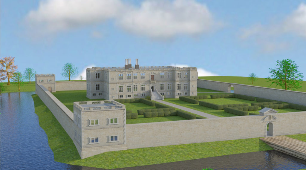
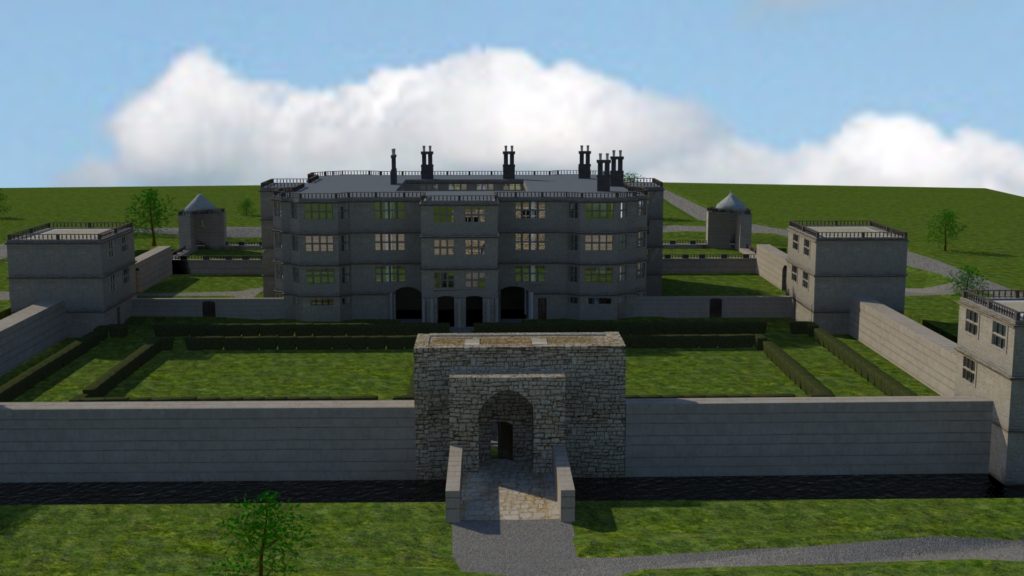
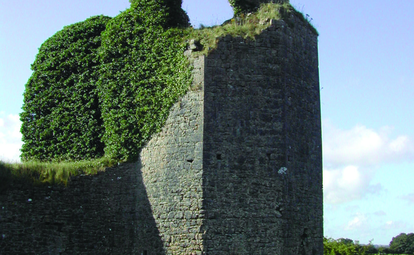
Bethany Watrous of Experience Heritage examines how her digital reconstruction of the Jacobean manor house at Slingsby Castle sheds light on its original form when first built in the C13.
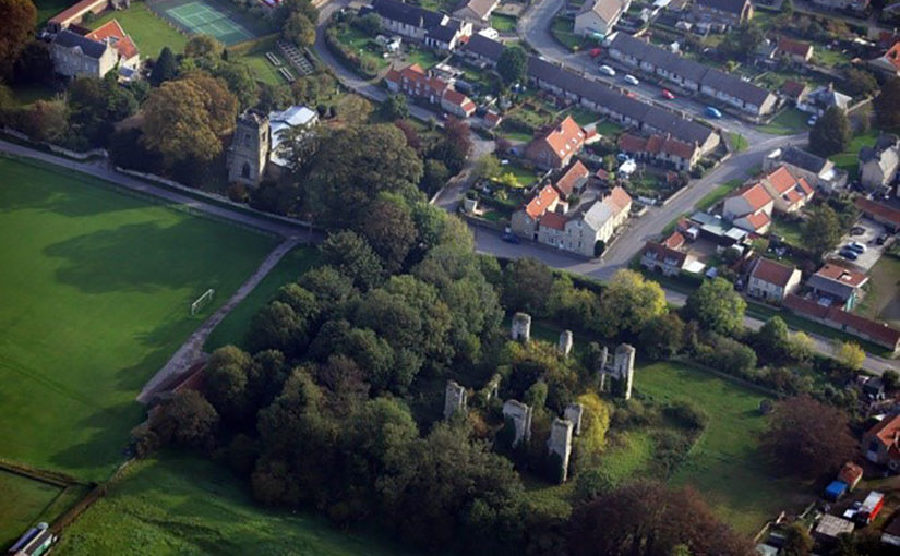
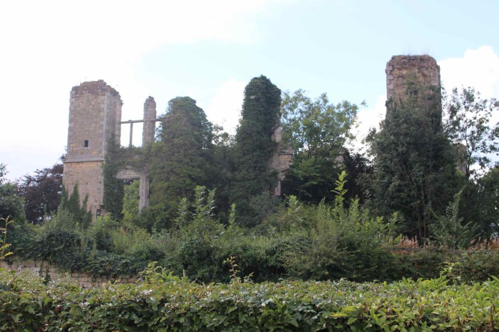
The ruins of Slingsby Castle, Yorkshire
The mysterious Slingsby Castle in Slingsby Village, North Yorkshire, is a ruin of a 17th century manor built on the site of a 13th century moated castle which survived, at least in part, into the early 17th century. The manor was built for Sir Charles Cavendish II, grandson of infamous Bess of Hardwick, by John Smithson. An earlier design for a manor on the same location was created for Sir Charles Cavendish I by Robert Smythson, father to John (who changed the spelling of the family name). Original architectural sketches for both versions of the manor still exist in the Royal Institute of British Architects’ Smythson Collection.
It was with this evidence, as well as further historical record, that I set about reconstructing both versions of the manor in digital 3D. The intention of this project was multifaceted. The ruins of Slingsby Castle have long been left to decay and the local community was in discussion about whether to put funding into refurbishing the site or allowing it to continue to be reclaimed by nature. Interactive digital models would help to engage the public in the conversation. However, the digital reconstruction would also provide further research about a site with a greatly confused historical record. It would help to tell a story about a significant phase of British architecture and give better insight into the original medieval castle.
The little we know about the original medieval castle comes from historical writings and archival material. A royal license was granted in 1216 for a manor or castle on a site owned by the Wyvilles. It was sold to Ralph de Hastings in 1344 and in the same year, a license was sought to crenellate a structure there1. In 1475 William Lord Hastings was granted permission to “build, enclose, crenellate, embattle and machiociolate”2 and it’s believed that this was the time of the creation of the moat. In 1619, the historian Dodsworth visited the site and described seeing the Hastings’ crest over the gates and a “church within the castle walls”3. The Jacobean manor was likely built on the site soon after Dodsworth’s visit.
There are many theories as to whether the Jacobean manor reused original parts of the castle. The site has not been inspected by modern archaeologists and we were not able to gain access for the purpose of this study. Modern historians disagree on the topic. Some believe no part (including the moat) of the Jacobean manor is medieval, while others have found evidence suggesting otherwise.
3D model of Jacobean manor, by Experience Heritage
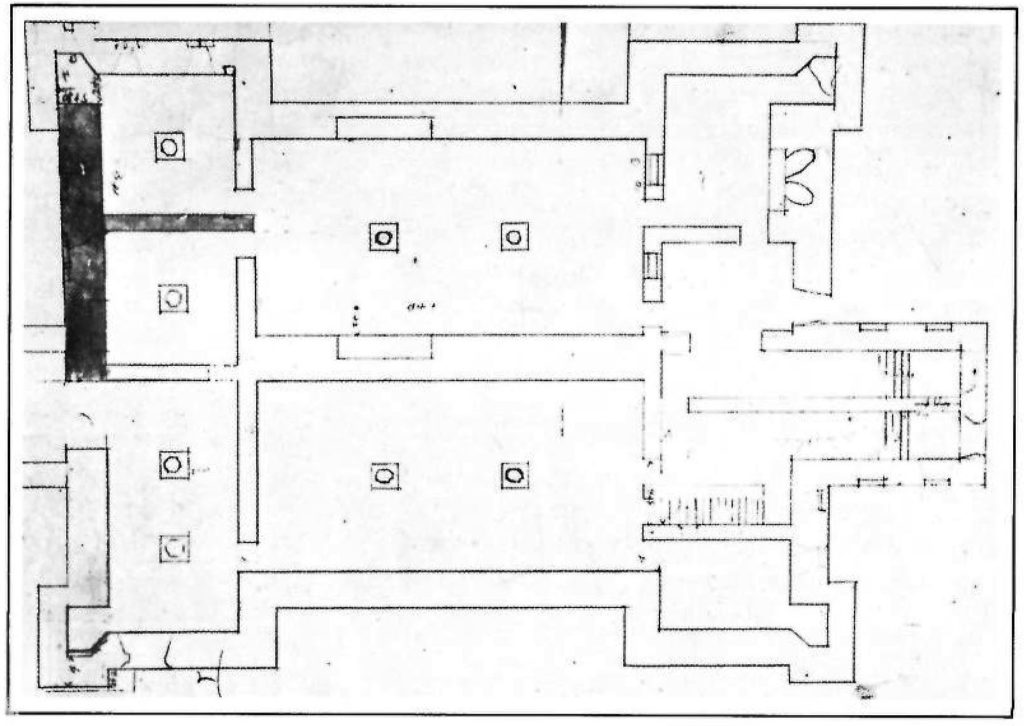
19th century historians described what then still remained of the 17th century manor including a wall running along the inside of the moat and “turrets at each angle”4 which some believed to be remains of the medieval bailey walls3 or following the original footprint. Another theory suggests that the original structure was either incorporated in or influenced the development of the basement vaults. On multiple floor plans, attention has been drawn to the irregular nature of the northwest room’s west wall.
The earlier, Elizabethan floor plan may give us insight into another piece of the medieval castle. The plan contains all the symmetrical balance of a typical Elizabethan design except for the off-center placement of its gatehouse. During the digital recreation and movement through the 3D model of this plan, the sharp curve of the path from gatehouse to main house was too jarring to ignore. Furthermore, when studying the plan, it became apparent that the manor’s only gatehouse was not meant to be the main entrance. On the opposite side, the main entrance leads over a stepped bridge to a raised terrace, whereas the door into the manor from the garden is hidden to the side of the portico. This suggests that the gate’s real purpose was as a reused medieval ornament for exhibition during progression around the estate. Therefore, Smythson’s floor plan may capture the outline of one part of the original castle.
View of the off-centre gatehouse as part of the 3D model of the Elizabethan design, by Experience Heritage
Bethany Watrous is the director of Experience Heritage which combines her archaeological and digital backgrounds to create engaging, authentic and interactive digital displays, 3D models, film and mobile apps for the heritage sector. Learn more at www.experience-heritage.com.
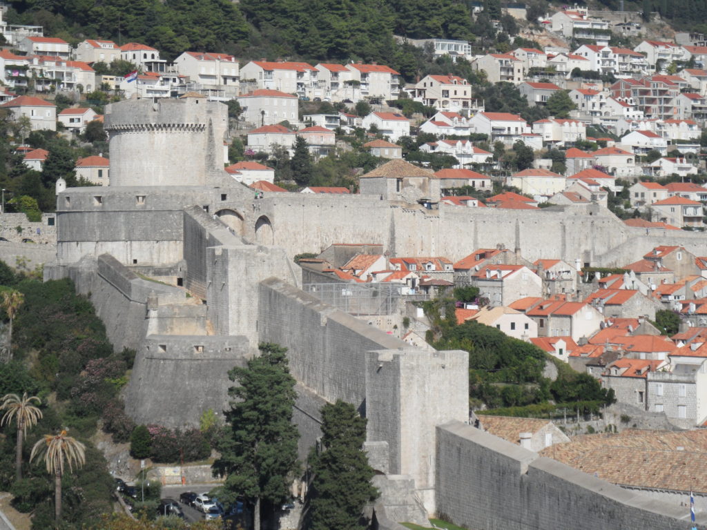
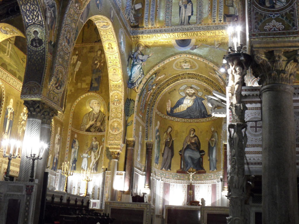
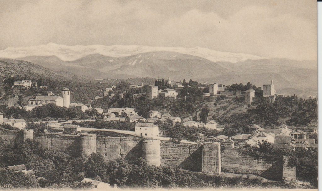
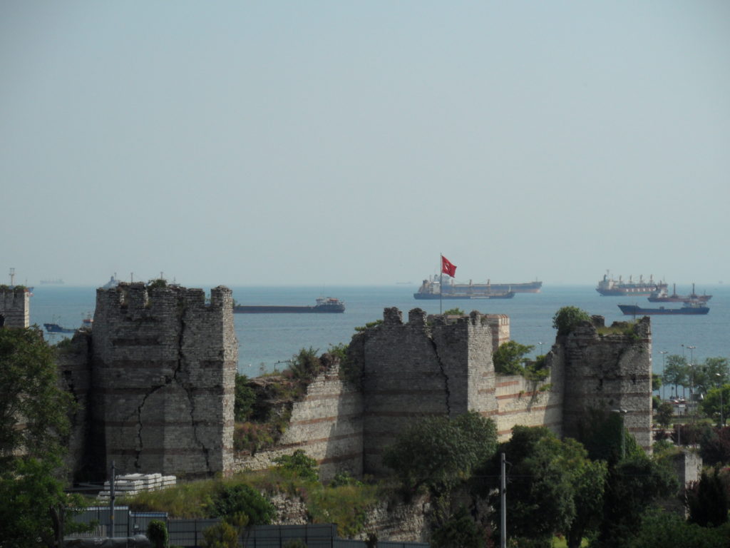
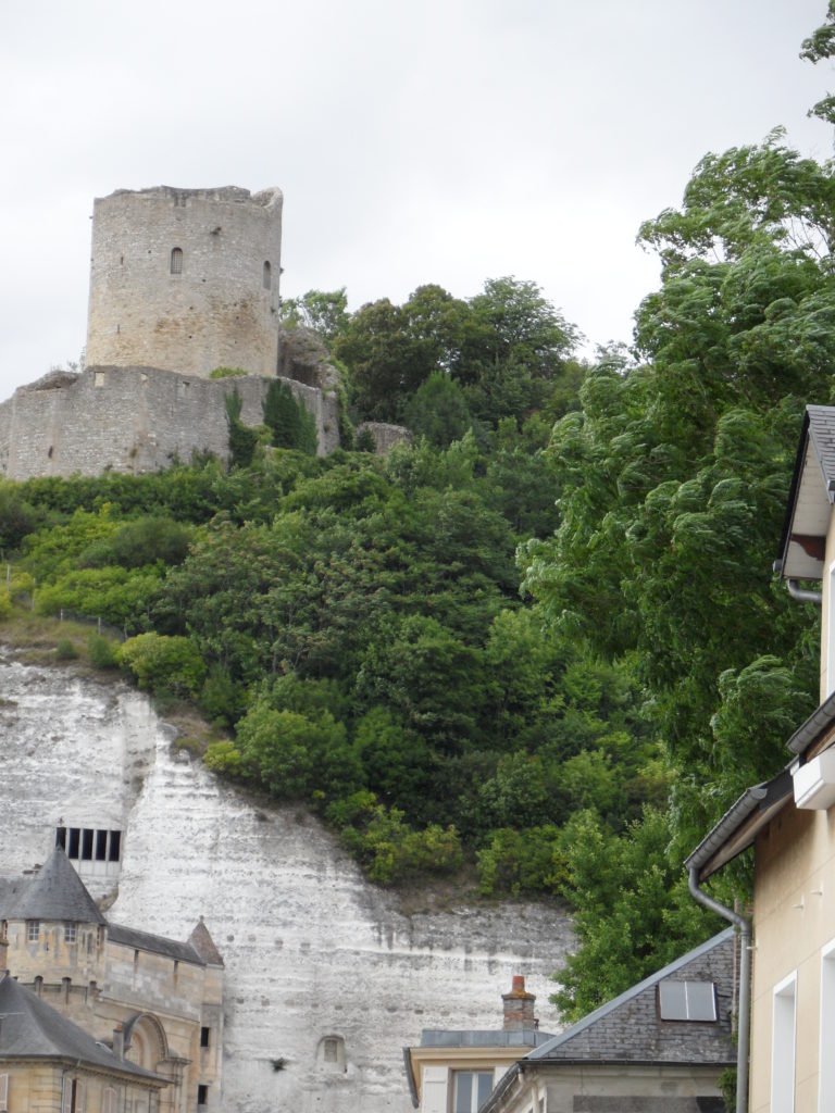
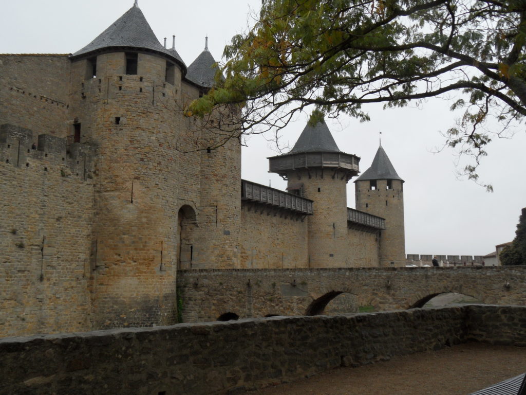
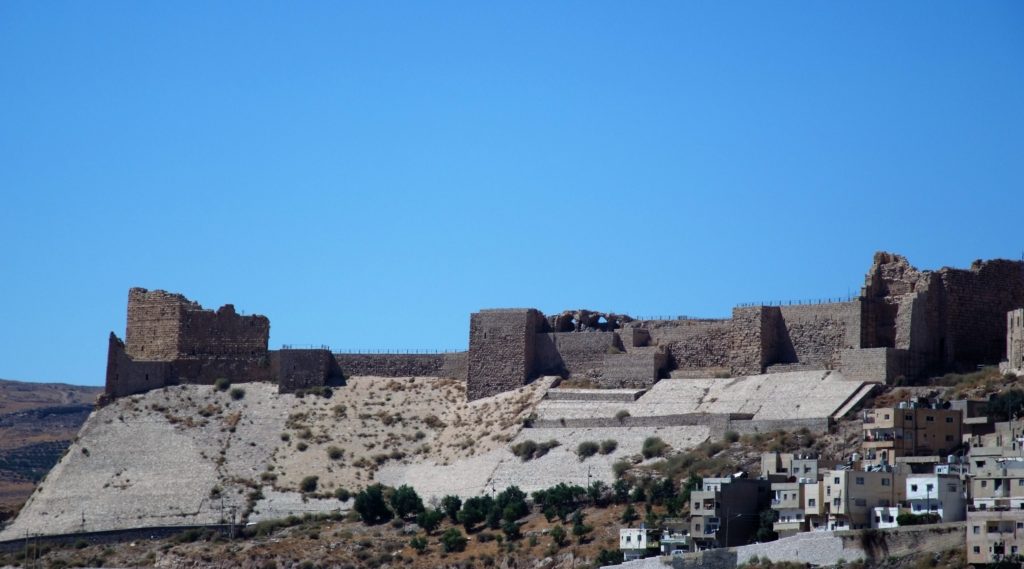
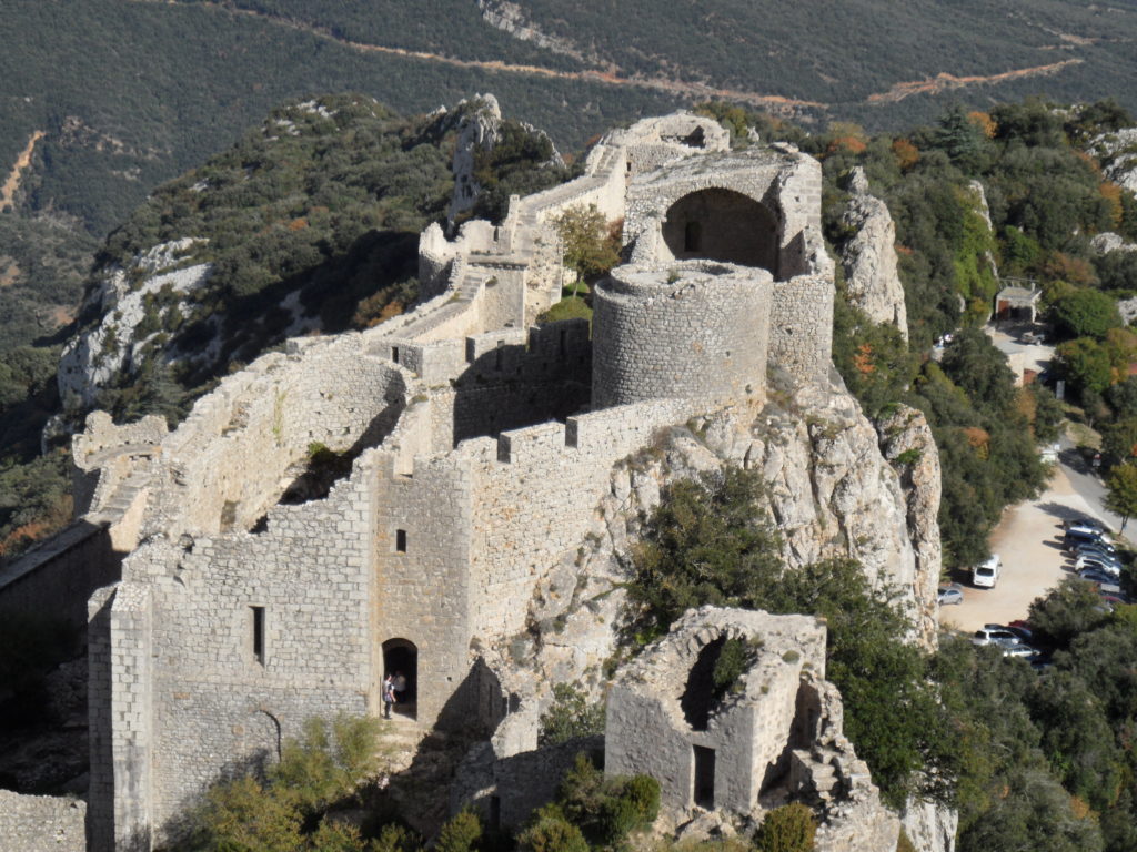
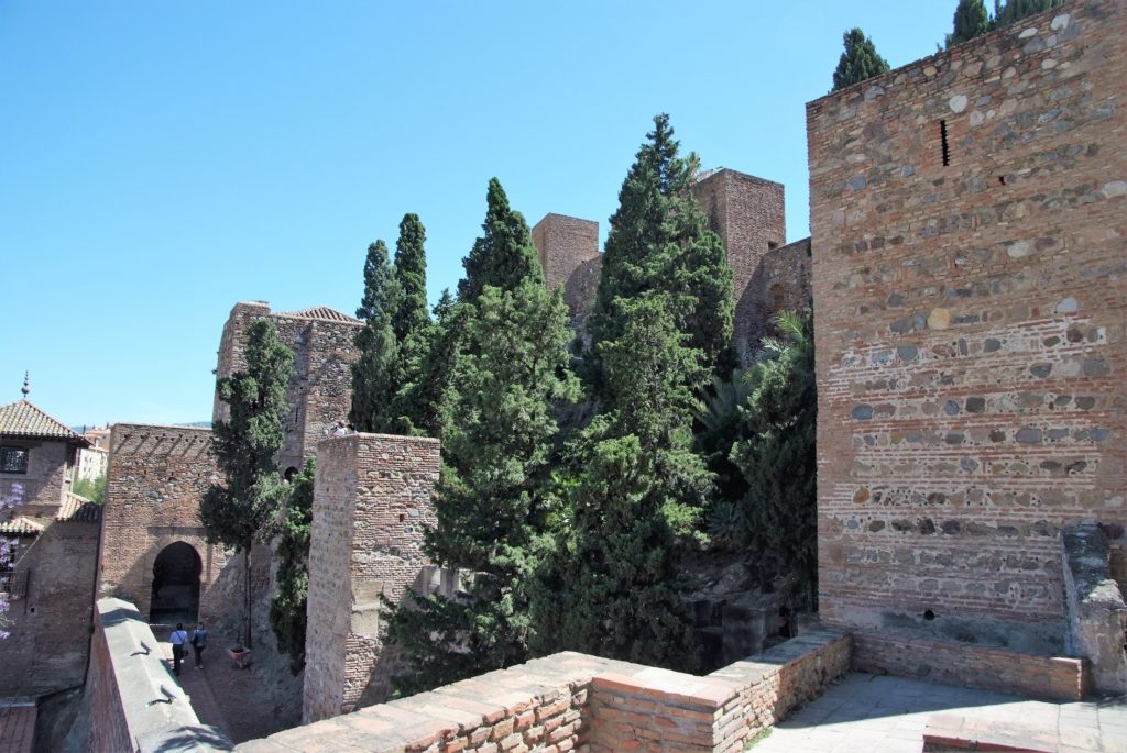
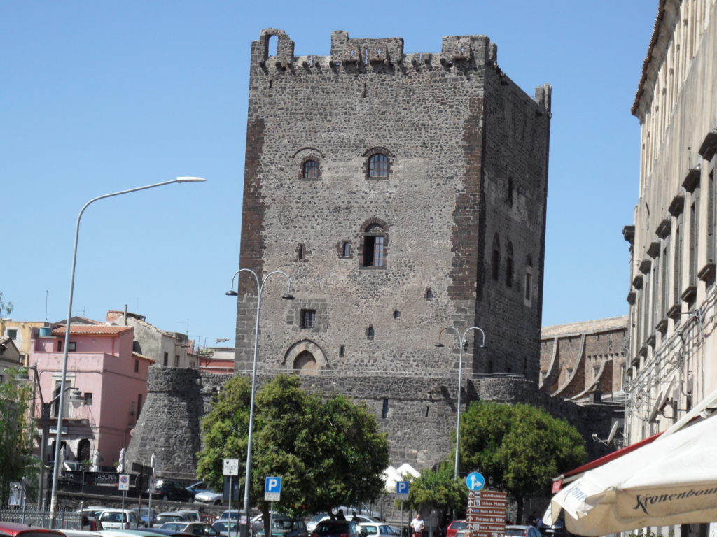
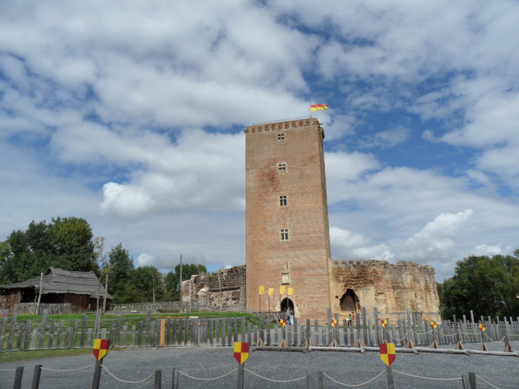
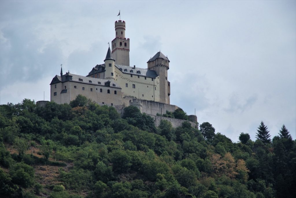
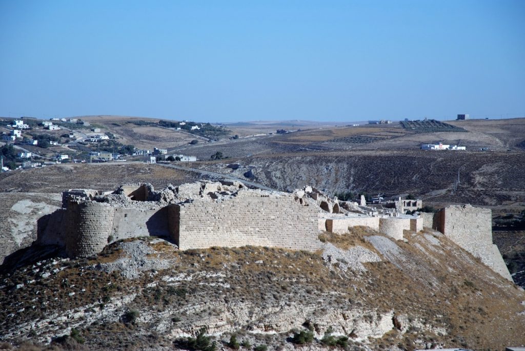
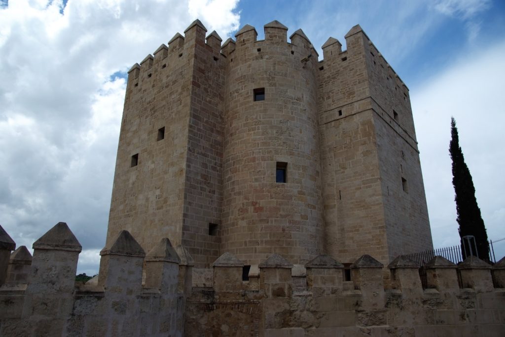
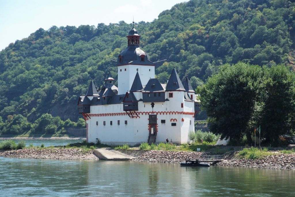
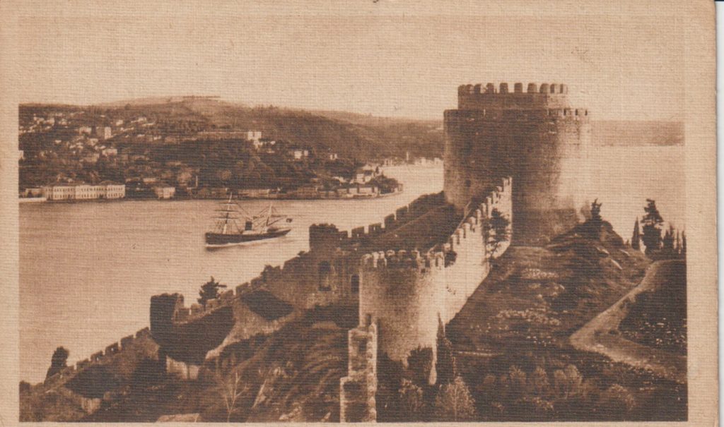
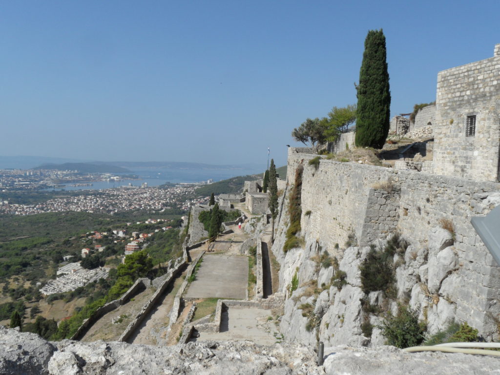
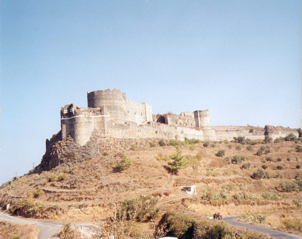
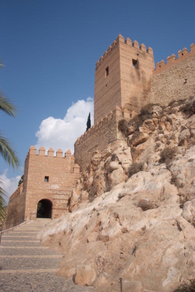
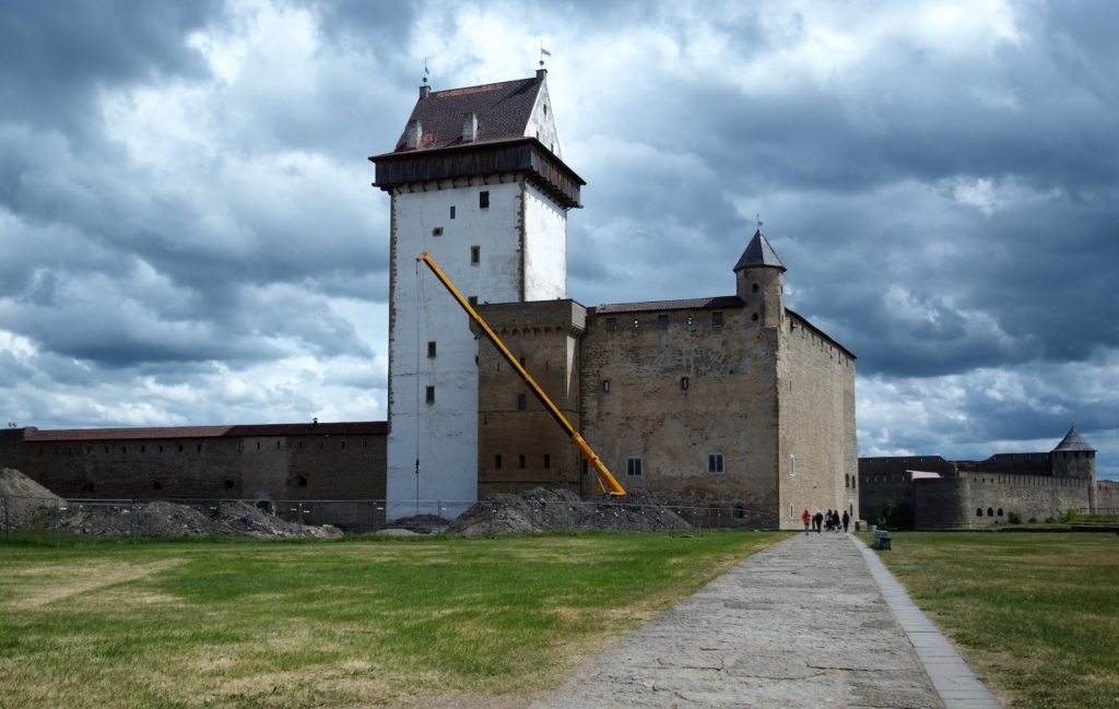
With most of us either staying at home or at best having a “staycation” not many of us will have the chance to see castles outside the UK so to whet the appetite for when we can travel again can you name these castles all of which are outside the UK and Ireland?
Dr Michael Fradley, project lead for the CST funded project on Caus Castle in Shropshire examines one of the main interesting aspects of the project.
Looking back on our work at Caus Castle in Shropshire, funded by the Castle Studies Trust, one of the most interesting elements identified was the post-medieval redevelopment of the site. Given how little field research had taken place prior to our work in 2016, there were many new observations to be made, but the creation of ornamental gardens on the south slopes of the hill hinted at ambitions to develop a new elite landscape.
At its medieval height, the Corbet family had constructed an extensive castle complex, with views from the motte, great hall and southern wing of the castle bailey looking out across the wide Rea Valley to their hunting forests of the Stiperstone Hills. While these views would still have been important, archaeologically we can see a shift in investment into creating an immediate garden landscape on the sunny, southern-facing slopes of the castle. The shift away from the monumental defences that defined the medieval castle is demonstrated physically through the infilling of the southern ditch of the castle bailey to create a probable broad planting terrace (Fig 1). It seems probable that this process of creating an ornamental landscape at Caus began in the 16th or earlier 17th century, possibly under the Staffords, or more likely under Joan Thynne and her son Thomas.
Figure 1
The use of a digital photogrammetric model of the castle, using imagery collected by a drone-mounted camera, proved invaluable in this stage in identifying that further garden features may have extended further south beyond the original bounds of the castle. A square enclosure, fragments of which had been picked up by the ground topographical survey, was clearly visible on the digital model on the southern slopes (Fig 2). While less clear in function than the garden terrace, this feature would also seem to fit within an expanding garden complex.
Figure 2
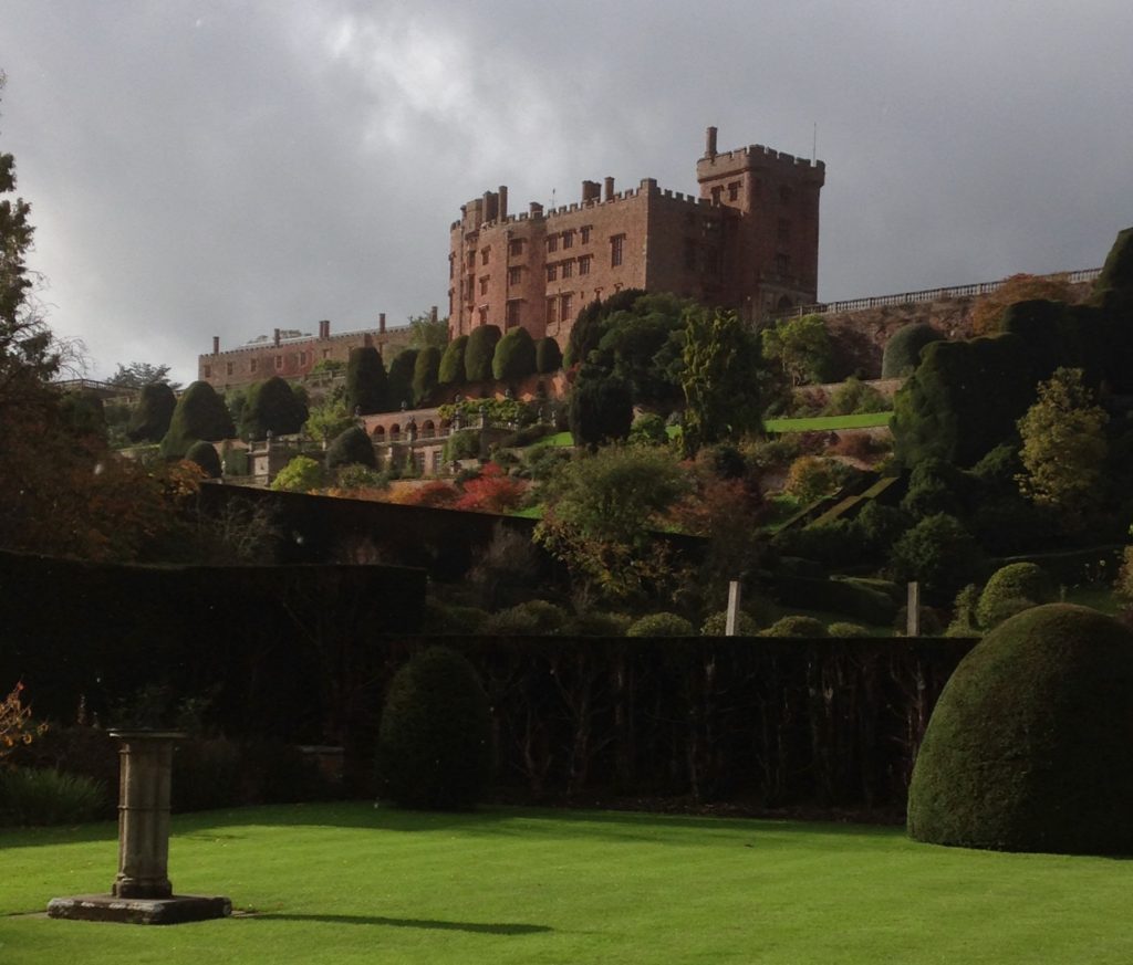
While the totality of these garden features would seem small in comparison to earlier and contemporary examples of elite gardens developed around castle sites, as well as former monastic complexes and new country houses, Caus Castle was not a central residence of the Thynne family, which centred on Longleat in Wiltshire, and should also be seen potentially as a work-in-progress as a developing ornamental landscape. If investment had continued at Caus as an elite residence, we could perhaps draw a broad analogy with the development of Powis Castle in terms of a castle revival in the 17th century, in a geographically peripheral location that ornamentally made full use of its south-facing slopes (Fig 3).
Figure 3
Elite investment in Caus Castle appears to have ended in the 17th century, and while we are deprived of seeing what it may have become if it an been maintained as an elite residence and associated landscape, that development would have potentially destroyed much of the evidence of the medieval and earlier evidence. This snapshot of a castle in flux in the earlier post-medieval period does, however, make the site that little bit richer archaeologically.
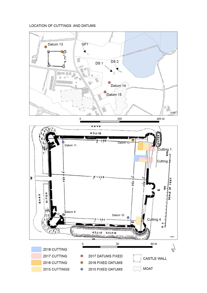
In the Castle Studies Trust’s first year of grant awards it gave a grant to survey Ballintober Castle in County Roscommon, caput of the O’Conors. Project lead Niall Brady explains below how that work has been built on and what has been discovered since.
The Castle Studies Trust grant of 2014 for Ballintober Castle permitted a detailed baseline topographical survey of the 14th-century Anglo-Norman castle, constructed in the early 1300s by Richard de Burgh, earl of Ulster, and taken over by the O’Conor kings of the Connacht before the end of the century, after which it became the caput of the O’Conor Don line and was lived in continuously until the O’Conors abandoned the castle for more suitable accommodation at nearby Clonalis House in the 1700s.
Location of excavation cuttings 2015-2018, by Dan Cearley
The castle remains a striking ruin in the small village of Ballintober and access to the site is prohibited because of its dilapidation. The 2014 survey feeds into a long-term plan by the O’Conors who retain ownership to rehabilitate the site so that it can be accessible once again and enjoyed. Since 2015, the Castles in Communities research fieldschool has taken a leading role in developing this initiative as a community-engaged anthropological and archaeological Summer fieldschool that sees groups of up to 70 students and staff coming over from America in July, working closely with the O’Conors in Clonalis House and the village represented by the Ballintubber Tidy Towns organization. Additional survey, coupled with geophysical survey, field survey and excavation has made great strides in revealing the complex history of the castle, while a conservation management plan for the castle was completed independently in 2016.
The fieldschool’s work has also extended outside the standing walls of the castle. In reaching eastwards across the present-day village, the project has confirmed the presence of a deserted settlement that would have been integrally related to the castle. In short, Castles in Communities has revealed the deserted manorial village that was associated with the castle and the findings indicate that the medieval settlement footprint was fully twice the size of the present-day village. Excavation within the deserted settlement area is focusing on taking cross-sections across former property plots and the houses within.
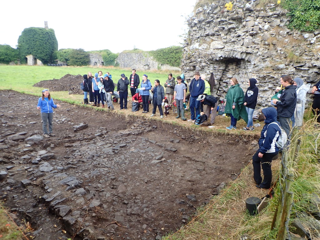
Photograph of cutting opened along the castle entrance in 2019, where evidence for two principal phases of construction have been identified. Siobhan Boyd, project director, explaining the findings.
Excavation inside the castle has progressed along the east side of the interior, where perimeter walls are lower and there is no risk of destabilizing standing remains. Attention has focused on the corner towers, and the perimeter wall. The southeast corner tower is circular in plan but its interior was robbed-out at some point in the past, leaving only a narrow and thin occupation deposit that retained post-medieval ceramics. The northeast corner tower is rectangular in shape, and excavation revealed a large building joined to the tower and running south from it. That building is late in the construction sequence and is itself joined to an earlier masonry structure that lies inside the walled perimeter. The indications for an early phase of castle building that might pre-date much of the standing perimeter walls is also indicated at the castle entrance, where excavation has begun to reveal two distinct phases of construction.
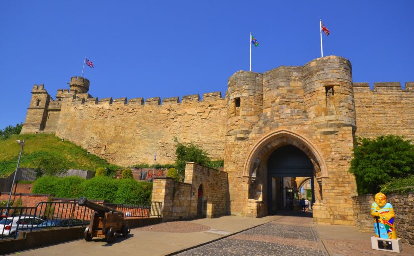
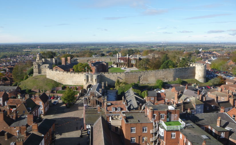
In its latest round of grants the Castle Studies Trust funded an ambitious 3-D reconstruction of the 12th-century form of Lincoln Castle. Project lead, Jonathan Clark, explains the background to and aims of the project.
Lincoln Castle is one of England’s great castle complexes, developed during an initial intense period of use which straddles the Conquest through to the first half of the 13th century. The reconstruction builds on the work of the recent Lincoln Castle Revealed project, which involved the conservation and repair of the castle fabric and bailey buildings, the creation of a new exhibition space, and provided a wealth of opportunities for research-led archaeology. The results of the archaeological campaign – which encountered remains from every century from the 1st to the 20th – have greatly enriched the story of the site as a whole.
Archaeological investigations encountered elements of the Roman fortress and later Roman Upper City, the defensive enclosures of which appear to have shaped future land-use patterns well into the medieval period, including the form of the castle. The west and south Roman walls stood long into the medieval period; indeed, parts of the western defences still stand to the south of the west castle wall. The southwestern corner of the Roman fortress provided the western and southern extent of the castle bailey.
Surveying the Observatory Tower. While the current external appearance of this tower is entirely due to changes in the 1830s, the interior fabric still retains important evidence as to its earlier form.
The main development of the castle in stone appears to be from the 1080s into the mid 12th century, a period which will be captured by the reconstruction. This campaign of work included the construction of East and West Gates, the stone enclosure of the bailey, the 12th-century Lucy Tower shell keep, the development of internal ranges against east and west curtain walls, adjacent to the gates, and a hitherto unknown South Gate. The South Gate position has been identified in the fabric of the south curtain wall, while its appearance has been confirmed by an early draft plan of Lincoln by John Speed, dated to 1607.
The Lucy Tower Motte after the removal of dense vegetation. The fragmentary masonry remains of a structure can be seen towards the top of the trench.
The investigations also provided valuable new information about the form and development of the main shell keep (the Lucy Tower) and the southeastern tower (known from the early 19th century onwards as the Observatory Tower). The Observatory Tower, which briefly upstaged the Lucy Tower during the Anarchy years of the early 12th century, was originally detached from the rest of the castle bailey by a substantial ditch. This ditch featured a stone revetment on the tower side which was carried up to encase the lower part of the mound on which the tower sits. The tower was subsequently remodelled to serve as gaol tower. More is now known of the Lucy Tower including the form of the roof, openings and the arrangement of rectangular chamber blocks, or turrets, to the east and west of it.
A segment of the interior wall face of the Lucy Tower. The small sockets are putlog holes, while the large blocked sockets housed timbers that joined with a timber ring-beam.
The remains of the main castle hall and various service buildings were also investigated as part of the Lincoln Castle Revealed project. Their positions are now accurately plotted within the castle bailey and these buildings are being added to the 3-D reconstruction.
A book on the archaeological discoveries from the project is forthcoming but the 3-D reconstruction will allow all to visualise an explore Lincoln Castle at its zenith. The reconstruction is being prepared by Pighill Archaeological Illustration advised by the Lincoln Castle Revealed archaeological team.
How many did you get right? Here are the answers to last week’s quiz:
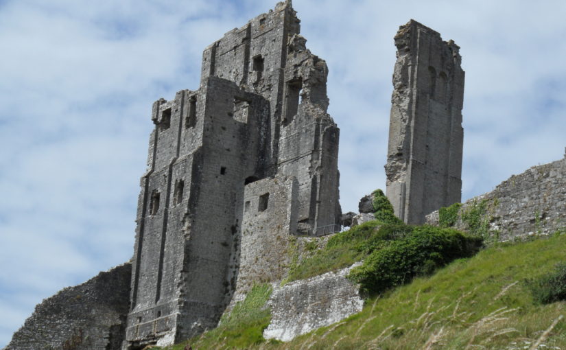
1) Corfe
2) Blarney
3) Chateau Gaillard
4) Chepstow
5) Tibbers – where the geophys survey discovered the limits of a smaller enclosure indicating earlier occupancy than previously thought. You see the full report here:
7) Coucy. The great tower in the picture was blown up by the vengeful German army division that occupied the site during WW1. All that remains of it is this:
8) Stirling
9) Berkhamsted
10) Ruthin. You can see the amazing video fly-through of the reconstruction here:
11) Newcastle
12) Caerphilly
13) Helmsley
14) Dartmouth
15) Ravenscraig. You can see the video here:
16) Askeaton
17) Dover – east gate
18) Tynemouth
19) Pierrefond
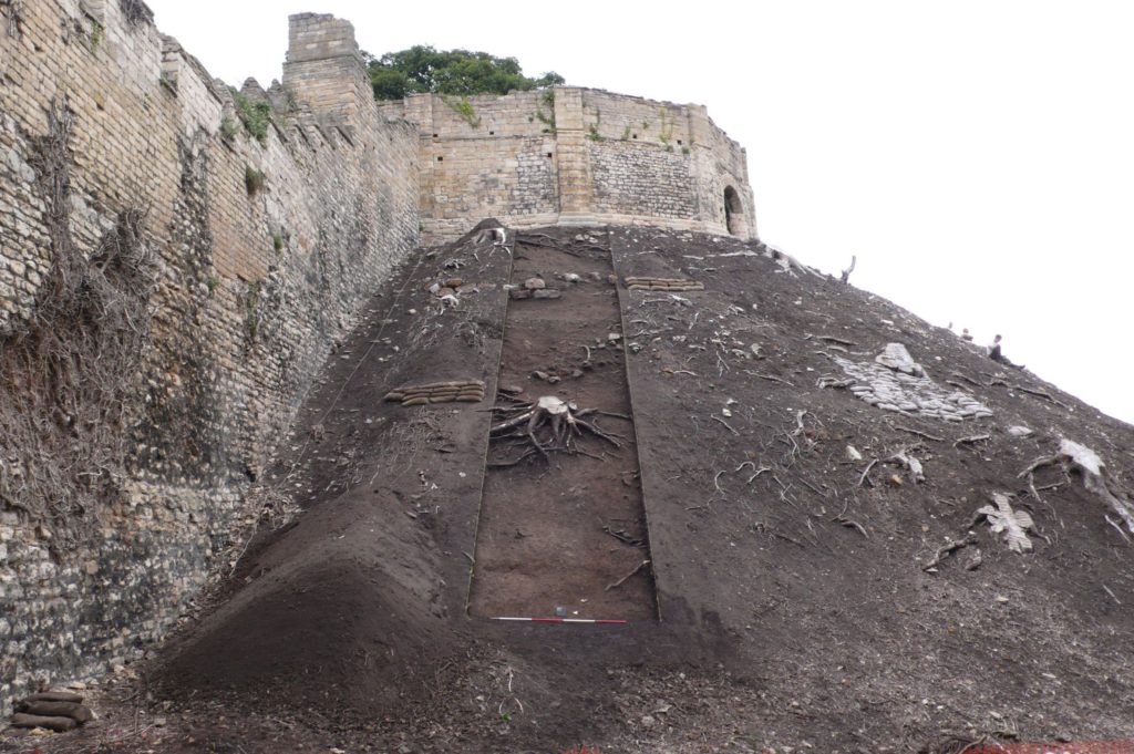
20) Laughton. The links to both reports are below:
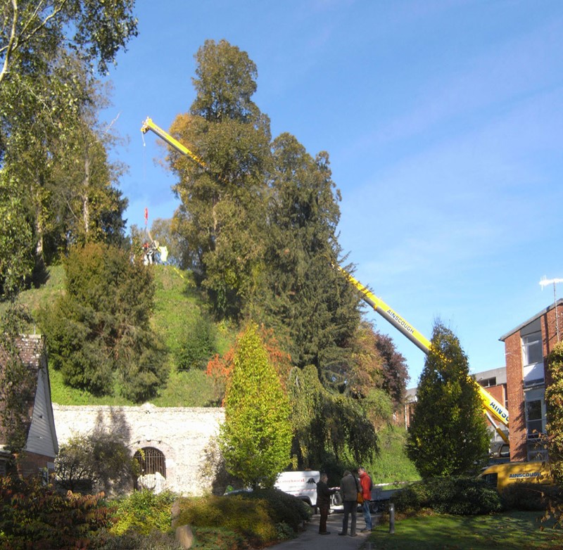
Over the last two decades, the Marlborough Mound Trust has carried out extensive conservation and investigations on the ‘mound’ in the grounds of Marlborough College. The origins of the mound were uncertain until recently. It was known to have been part of Marlborough Castle, but there had been persistent speculation, on the strength of its resemblance to neighbouring Silbury Hill and the discovery of antlers in the early twentieth century (now lost) that it was of prehistoric origin. In 2008, when Silbury Hill was being investigated, the opportunity of taking cores from the mound to obtain comparative dates presented itself. After a precarious operation involving a very large crane, the necessary drilling rig was hoisted to the top of the mound. The resulting cores, as a paper published the following year by Jim Leary and his colleagues showed, supported a date in the second half of the third millennium BC, broadly contemporary with Silbury Hill.
The drilling rig for the coring operation is hoisted into place (copyright Marlborough Mound Trust)
Jim Leary has subsequently carried out a survey of some fifty castle mottes, looking for other sites where prehistoric mounds could have been reused as the base for a castle, and has found only one other rather uncertain case. This means that Marlborough may be unique in being a prehistoric structure recycled into a medieval castle.
But we now know more about the prehistory of the mound than the supposed castle keep. The only possible sighting of masonry on the mound is uncertain in the extreme. H. C. Brentnall, a master at Marlborough College, in one of his many contributions to the Proceedings of the College’s Natural History Society on the the history of the castle, had this to say in 1936:
“Excavations necessitated by building operations at Marlborough College in the course of this summer have revealed several traces of the medieval castle which perished gradually between the fifteenth and seventeenth centuries. What little remains above ground (if the elevation justifies that expression) is to be seen on the summit of the motte, where a buttress of the keep was laid bare some years ago.“
The note implies that the buttress was visible in 1936, but recent geophysical surveys have not found it.
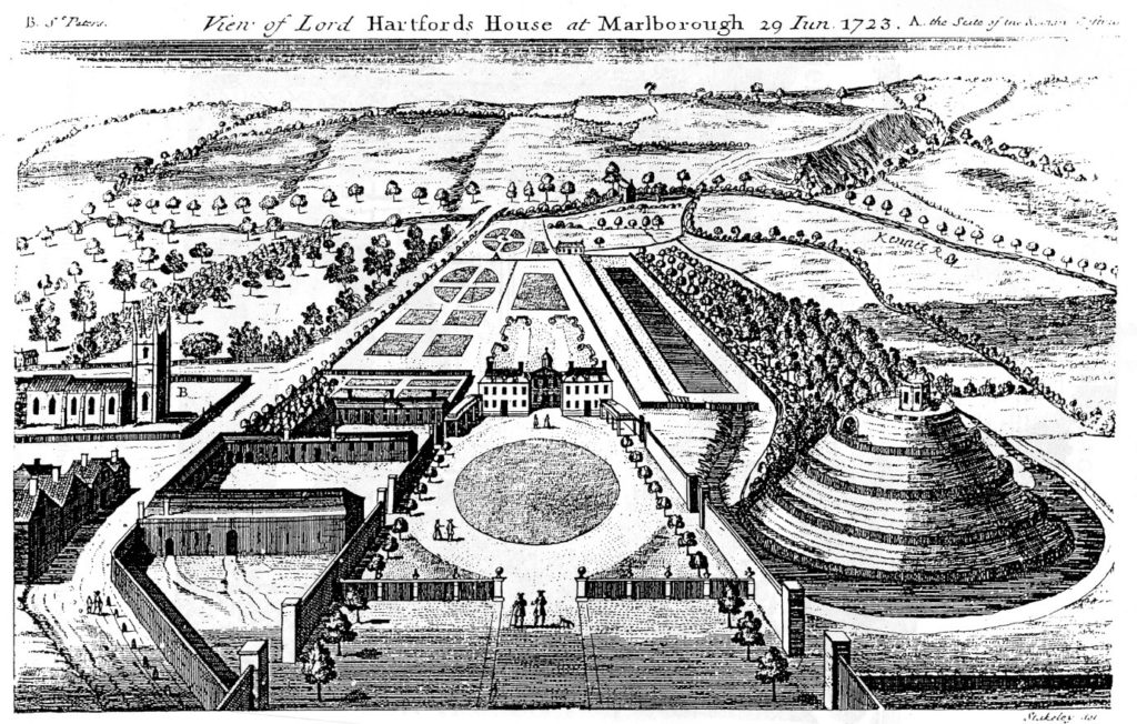
The problem is further compounded by the subsequent use of the mound. It became a garden feature in the seventeenth century, and a spiral was cut into the side of it to give access to a summerhouse at the top. Stukeley’s engraving of the countess of Hertford’s gardens in 1723 shows only the summerhouse, and no traces of masonry.
Stuckley’s engraving of countess of Hertford’s gardens.
About the same time, a water tank was installed to supply the Hertfords’ newly built mansion. This was enlarged by the College after its establishment in 1843, and adapted over the years, until the top of the mound was graced by a large iron tank surrounded by a spoil bank, concrete steps, and substantial pipework. This meant that in effect most of the original top of the mound had been destroyed.
This raises the question of what we are looking for. The earliest mentions of the site, in 1070 and 1110, present the king’s establishment as a place of imprisonment and a site where a royal court was held. In the 1140s, Marlborough castle is first mentioned as such. It is described ‘very defensible’ in The Deeds of King Stephen. It was held by John Marshal, who used it to control the surrounding countryside, and there is no record of it ever being attacked.
The only entry in the plentiful records for the castle under Henry II and Henry III is in the context of payments in 1222 for work designed to create a substantial royal residence there. This is a single sum for the building of a lime kiln ‘for the Great Tower’, which must therefore have been of stone. There is no indication where this tower was sited, and it may well have been part of the lower bailey. It has simply been assumed that it was on the mound.
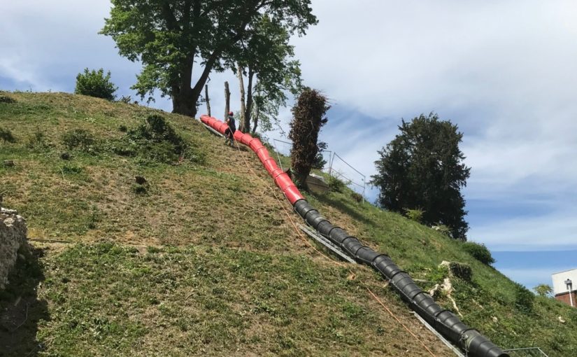
An inconclusive exploratory dig was carried out by Wessex Archaeology for the Mound Trust in 2019, and at the time of writing, it is still hoped that a follow up to this will be possible in 2020. The present assumption is that the mound was among the hastily erected timber forts from immediately after the Norman conquest, and that this was replaced by a stone keep after 1222. It would be good to be able to find some actual evidence as to the nature and even the existence of the keep at Marlborough.
Richard Barber is a trustee of the Marlborough Mound. He would welcome any comments, particularly on the replacement of timber with stone, and the nature of ‘great towers’: email rwbarberuk at yahoo.co.uk.