Don O’Meara, President of the Society of Antiquaries of Newcastle upon Tyne John Nolan, archaeologist Richard Pears, buildings historian, project leads for the publication of the decades of excavations that took place around the major urban fortress of Newcastle.
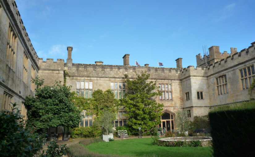
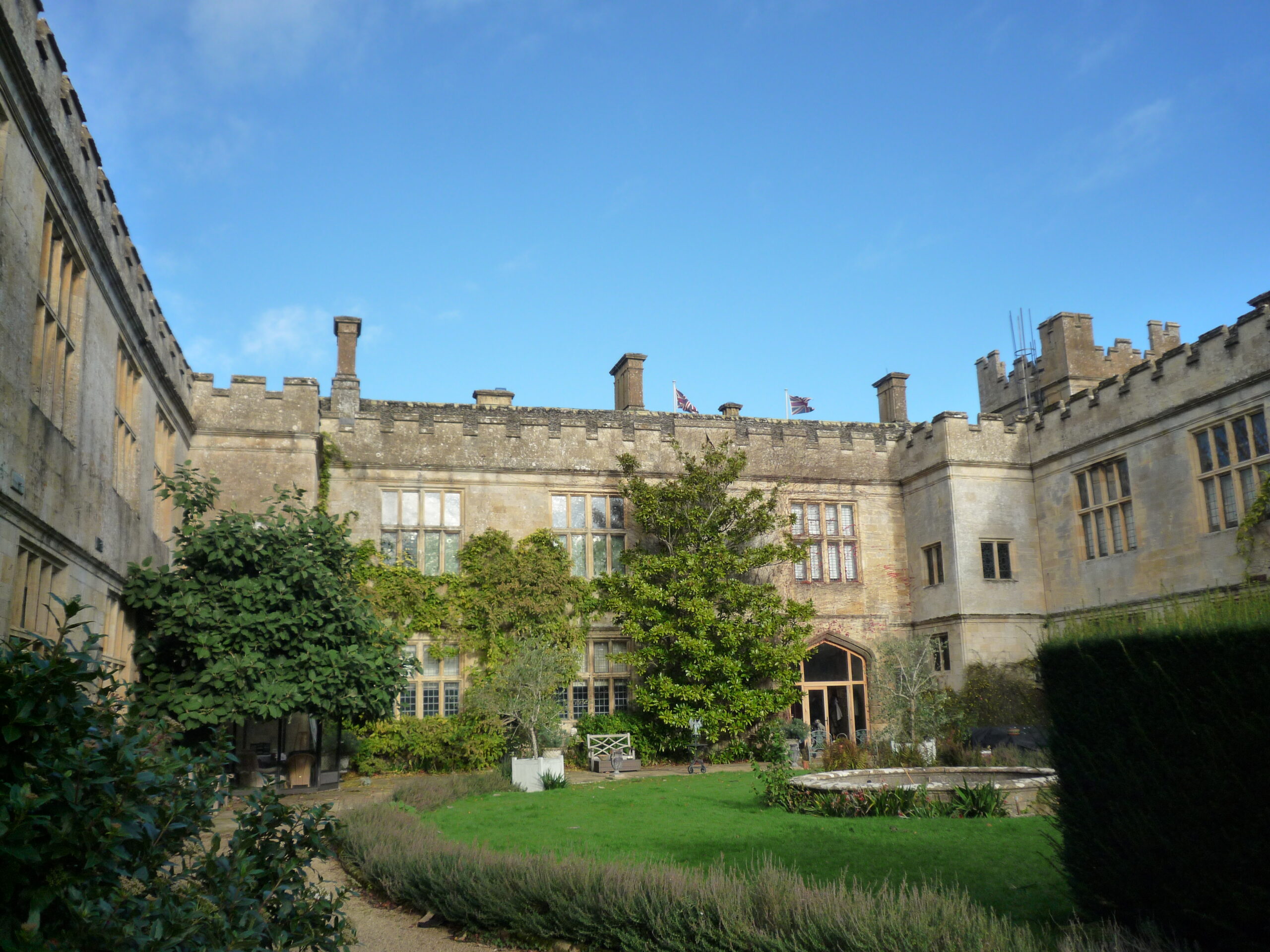
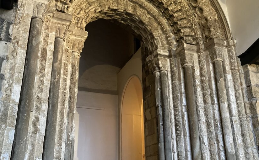
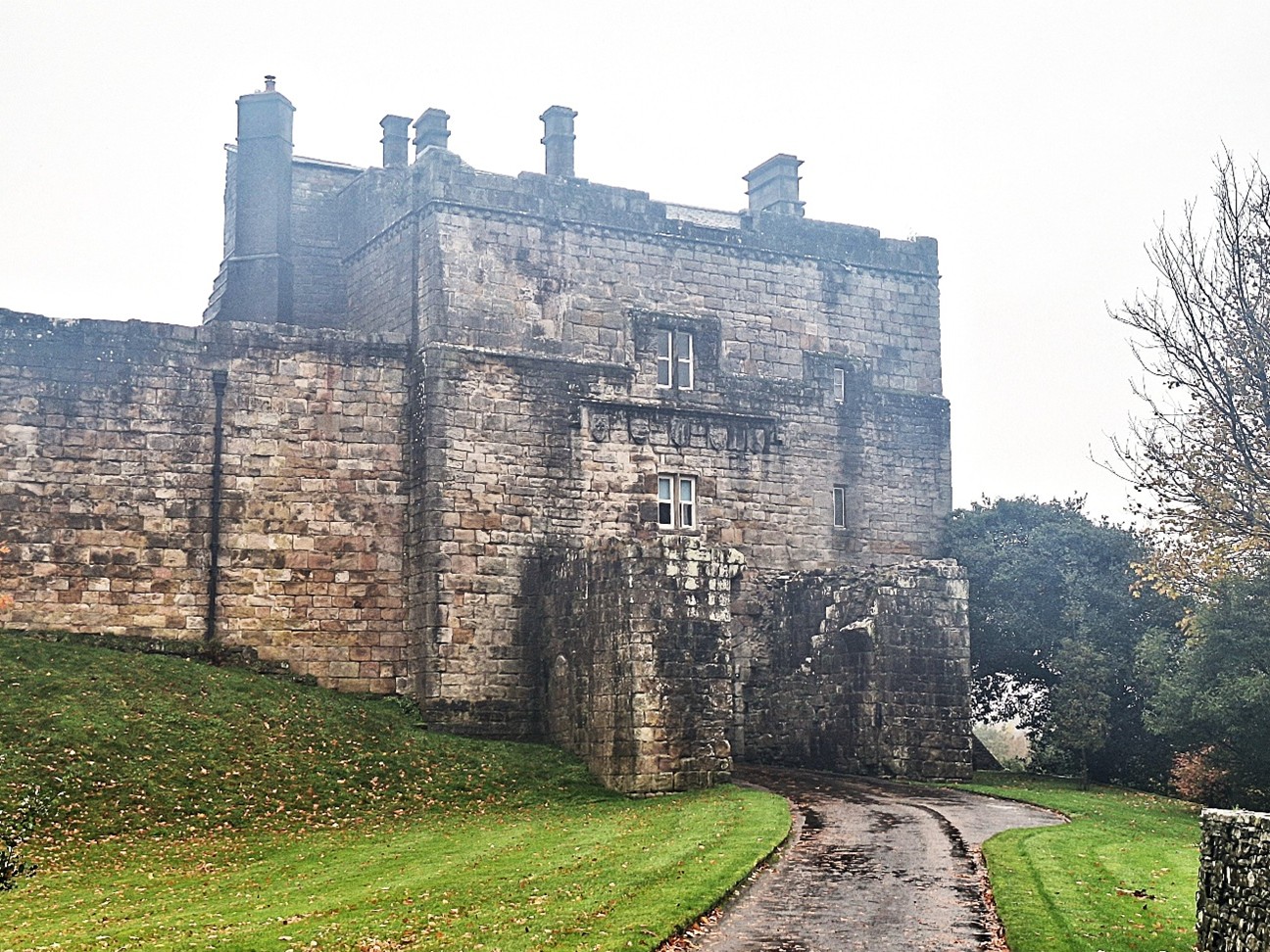
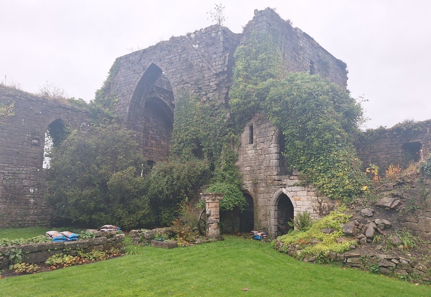
Many towns and cities in England derive their name from fortified positions. However, perhaps none so prominently as when the pre-Conquest settlement of Monkchester was fortified with a royal castle, and became thereafter Novum Castrum super Tynam. Newcastle is fortunate in the survival of its 12th century stone keep against the forces of siege, neglect and demolition, which denuded so many other castles and fortifications across the country, including that which befell our homonymous distant relative under-Lyme.
Subscribe to our quarterly newsletter
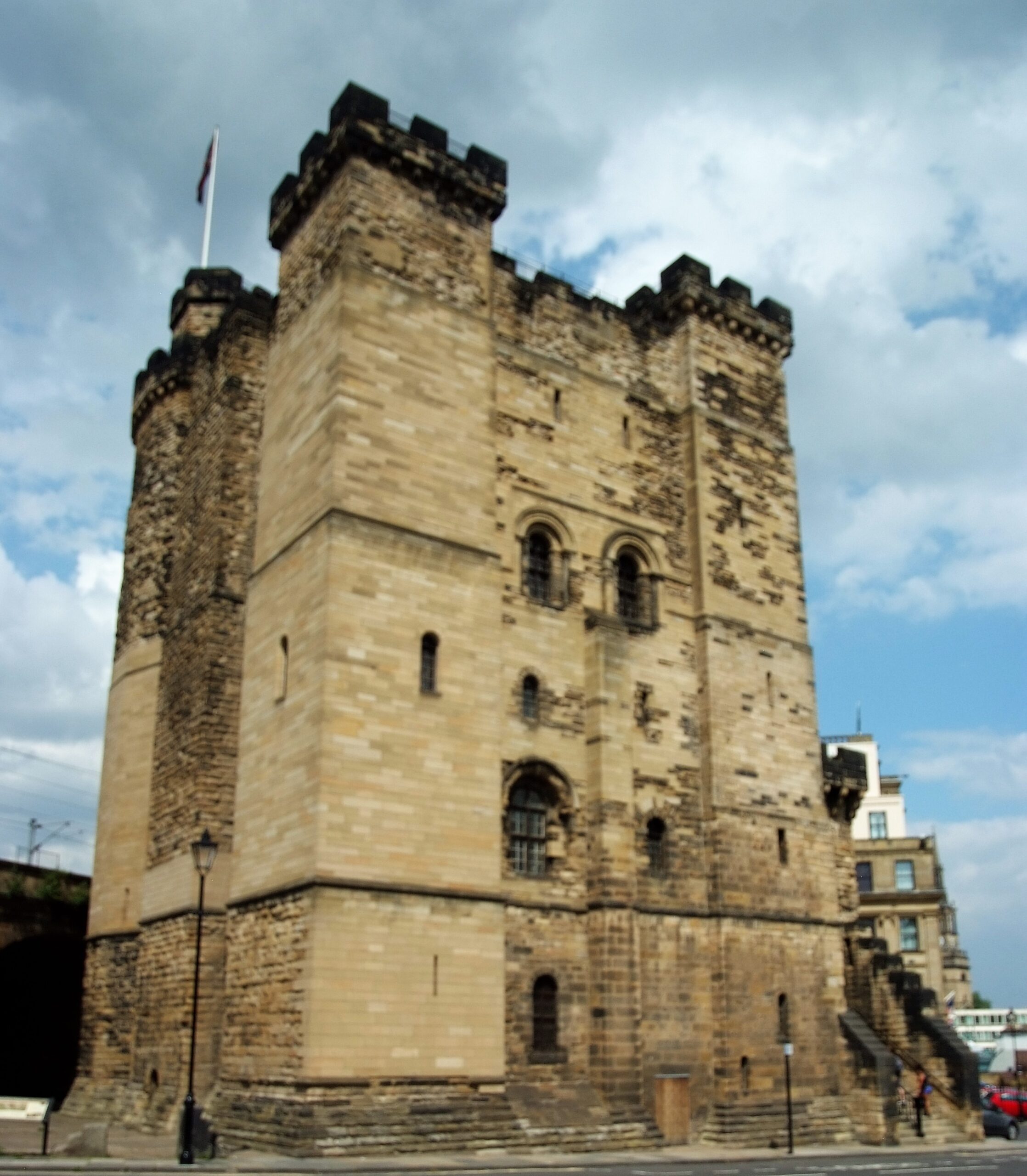
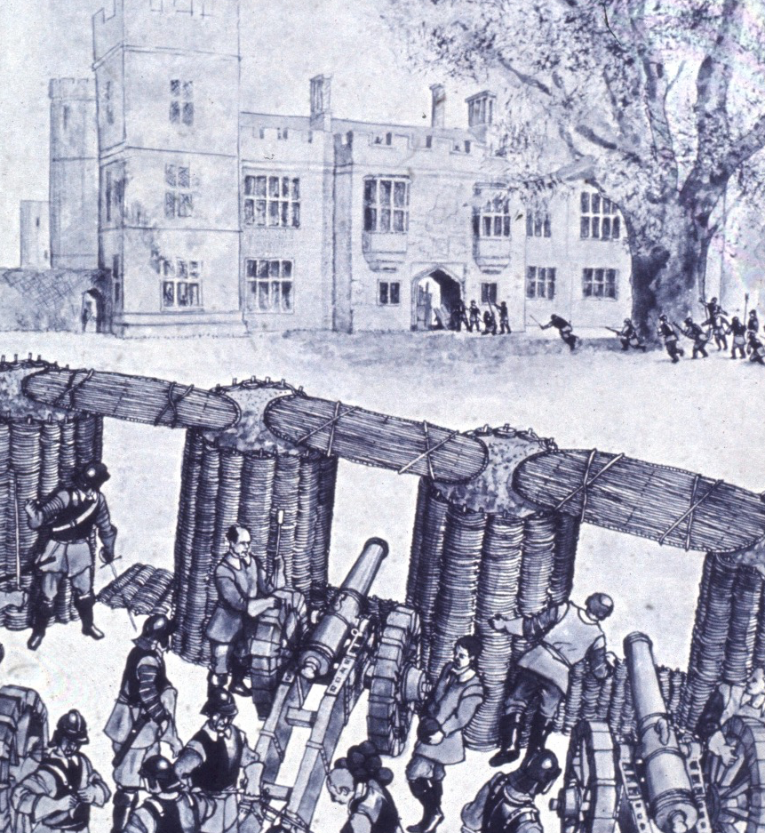
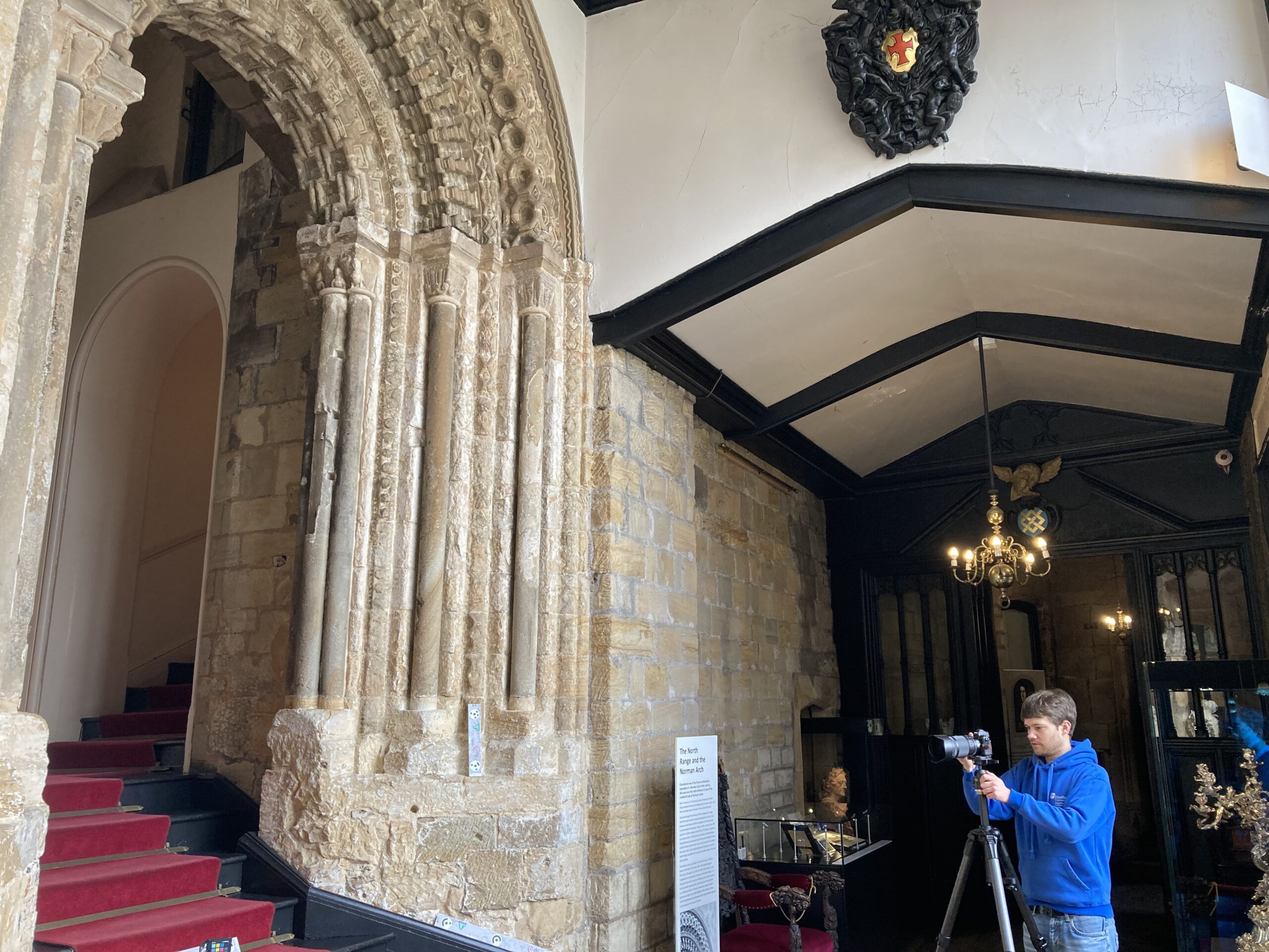
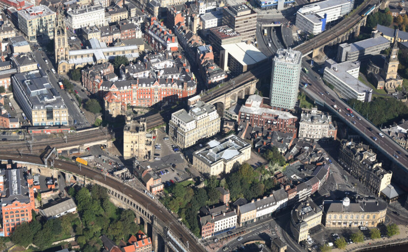
The keep at Newcastle also has a special place in the history of the Society of Antiquaries of Newcastle upon Tyne, the oldest such provincial society. For over 200 years the image of the keep has appeared on the book plate of our journal (Archaeologia Aeliana), reminding members of our role in preserving it from destruction at the hands of 19th century development (particularly railway construction), as well as our role renovating and managing the building until 2013.
Subscribe to our quarterly newsletter
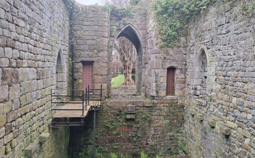
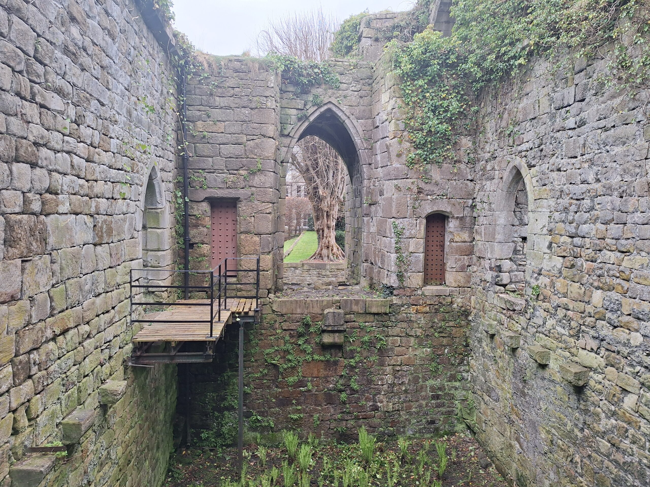
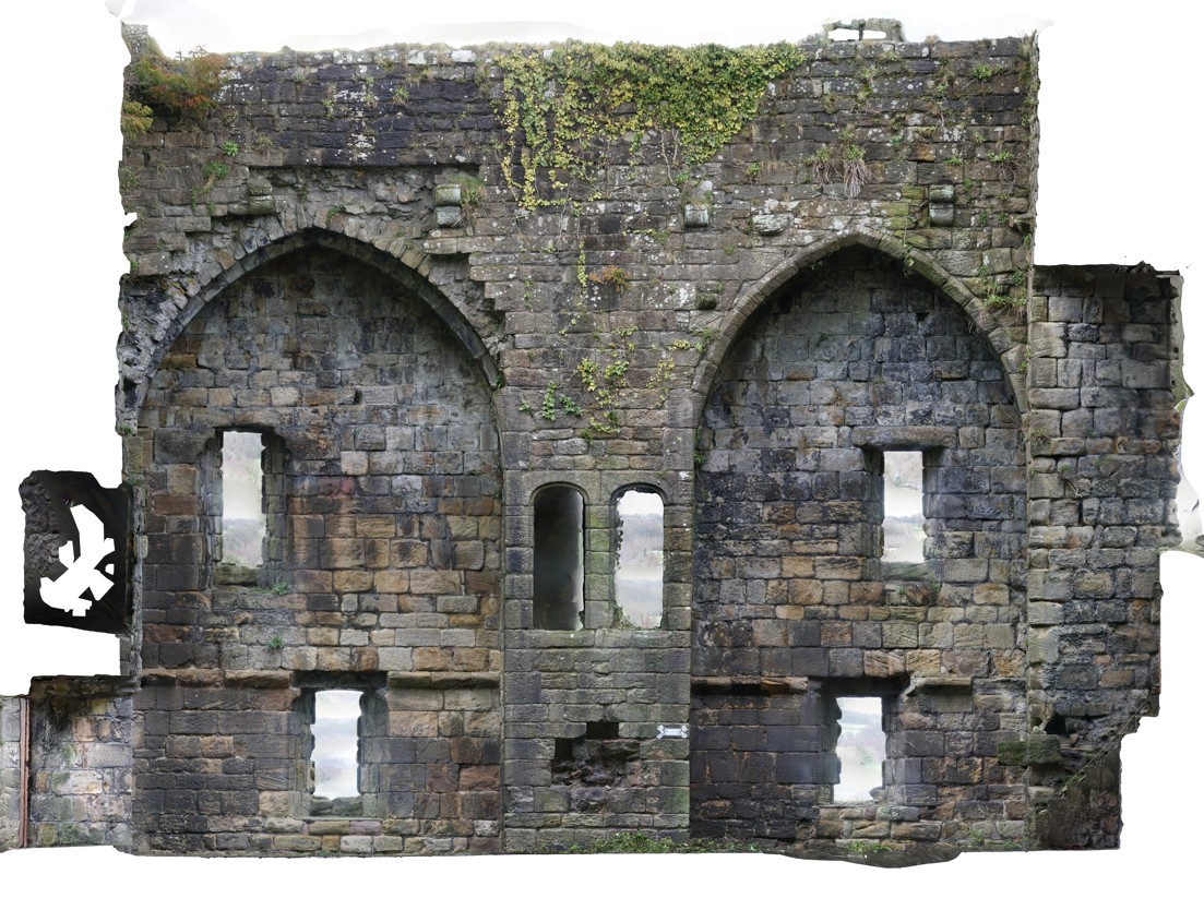
The royal castle from which Newcastle derives its name was founded by Robert Curthose, son of William the Conqueror, in 1080 as a statement of Norman control in a region coveted by the kings of Scotland and with a history of independent-minded local rulers. In the late 1160s and early 1170’s the earth and timber castle was refortified in stone, which included the keep which stands today and which, in the eyes of many Novocastrians, is ‘The Castle’.
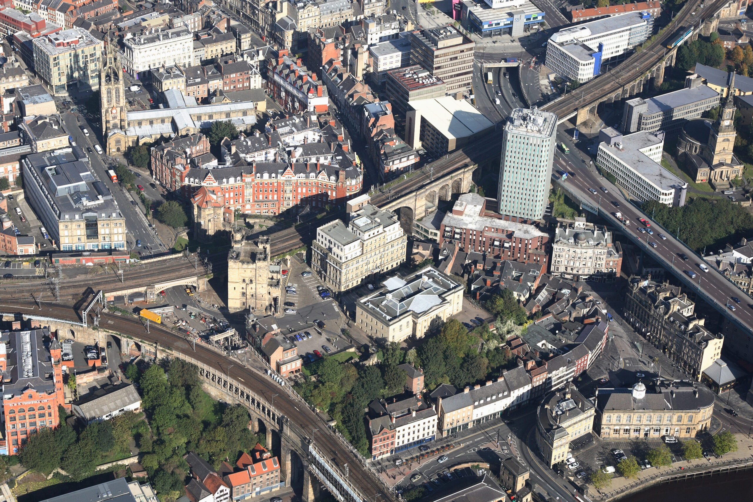
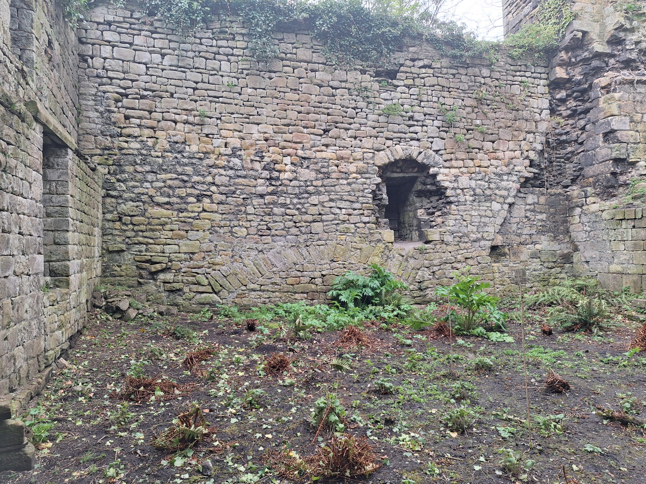
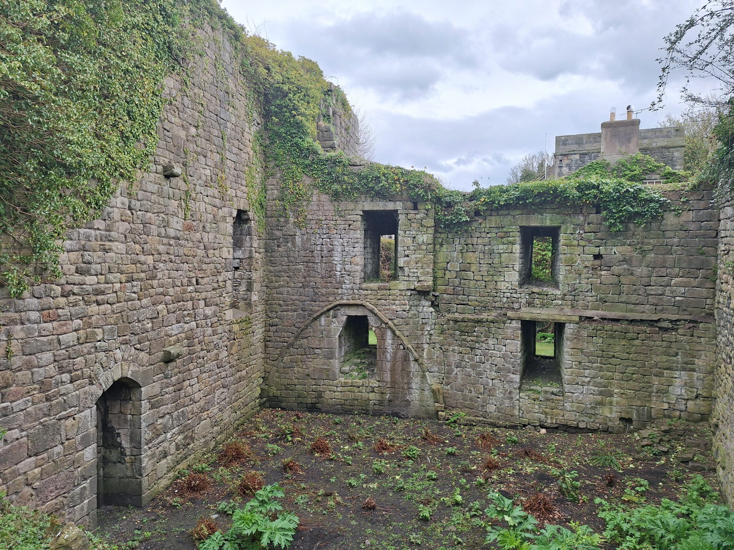
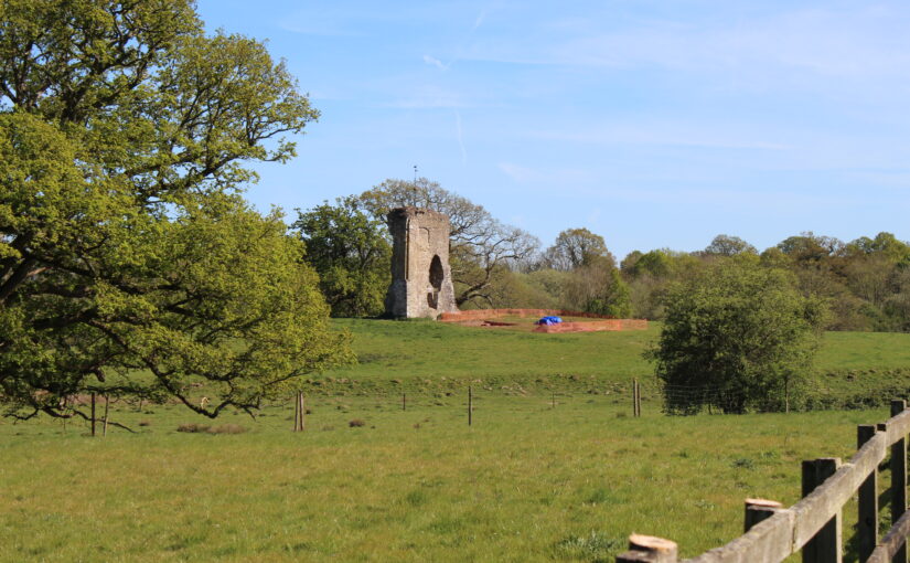
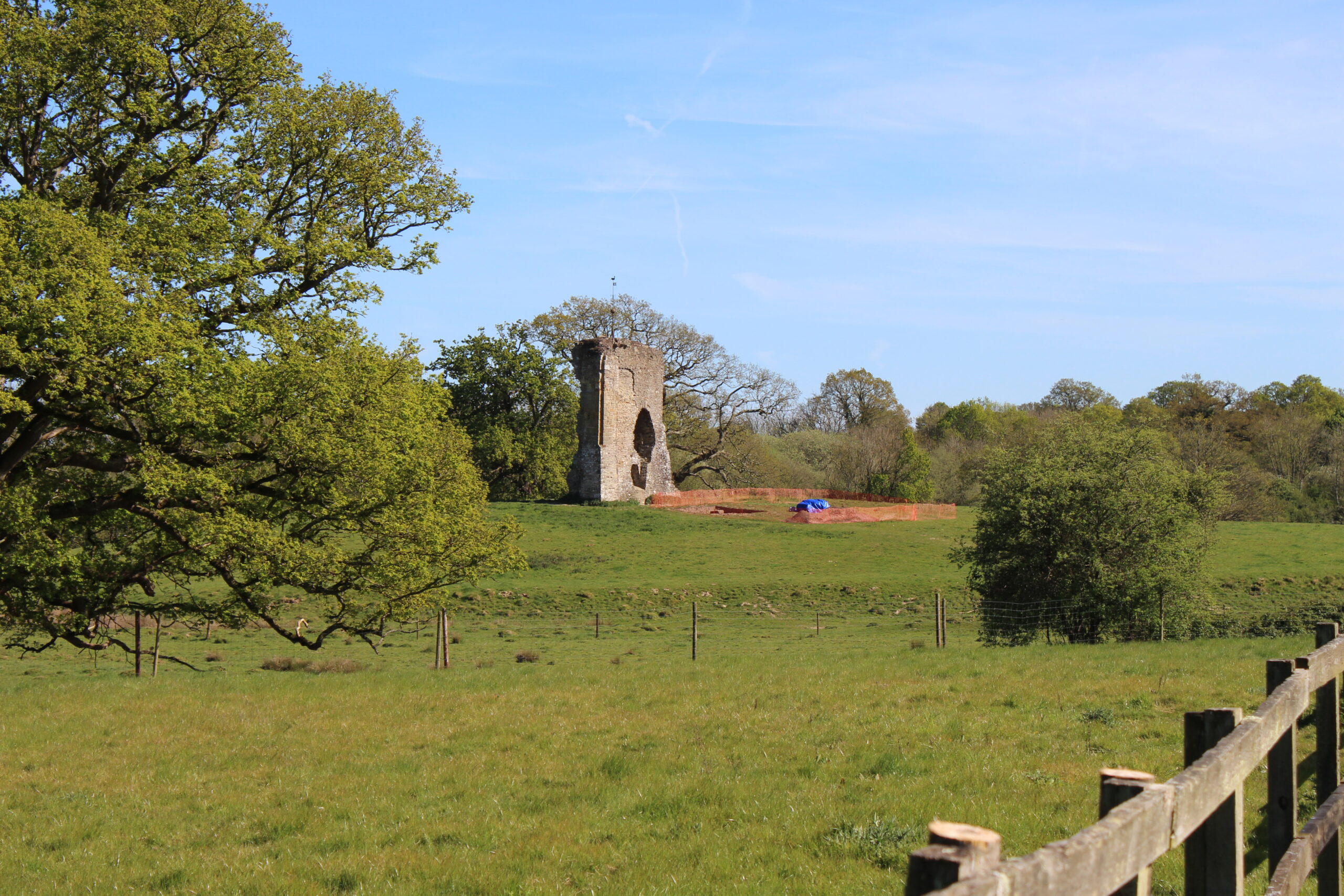
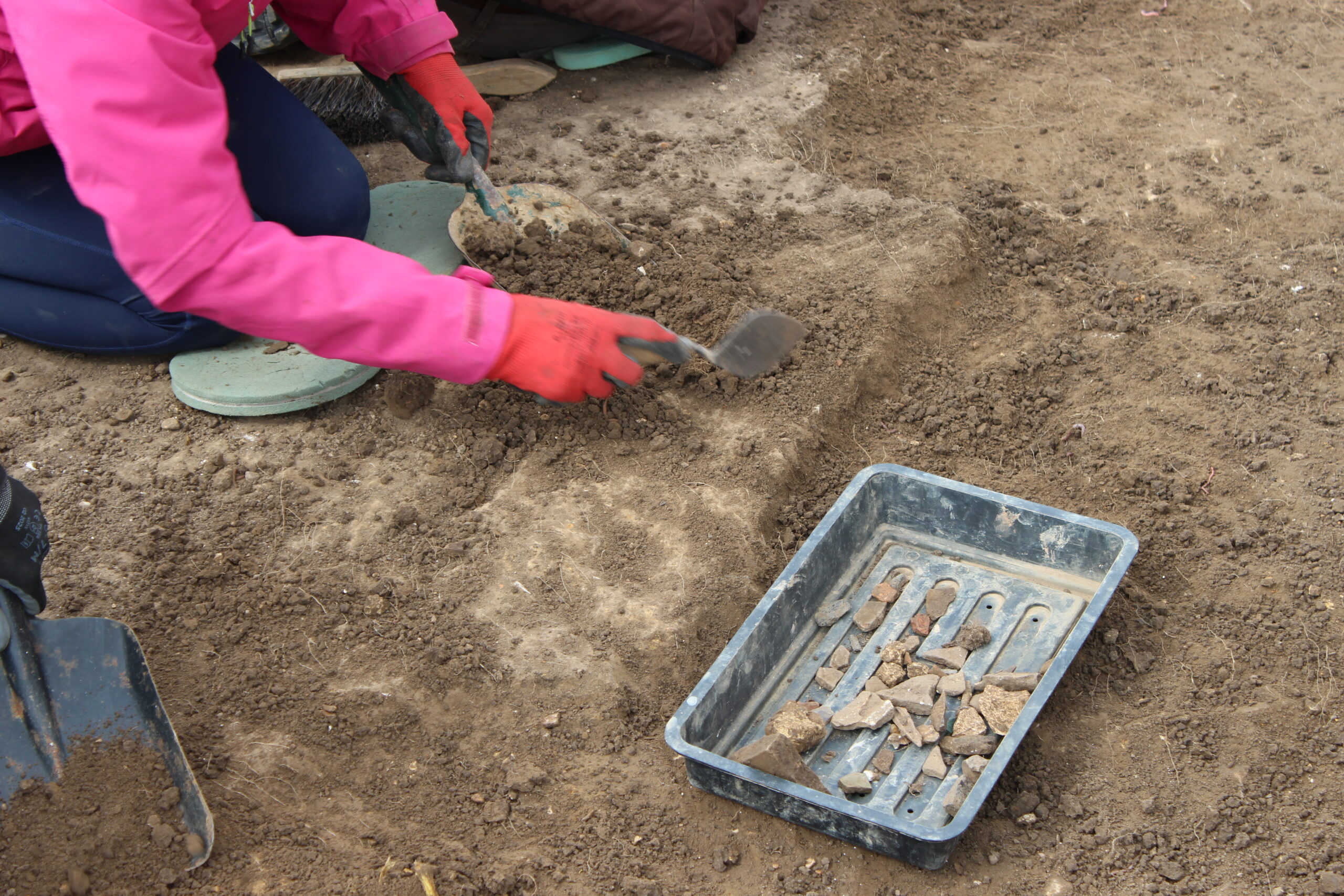
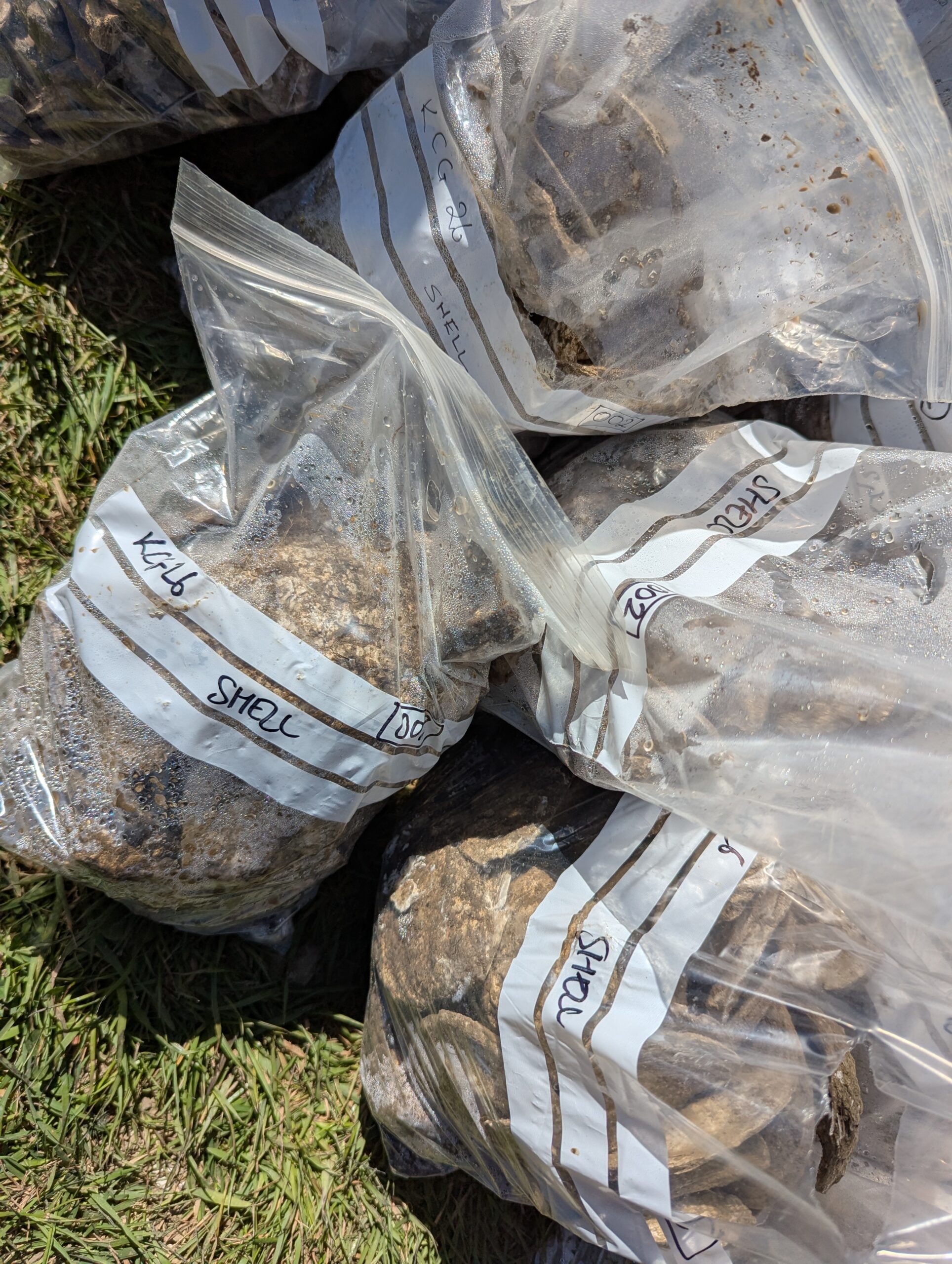
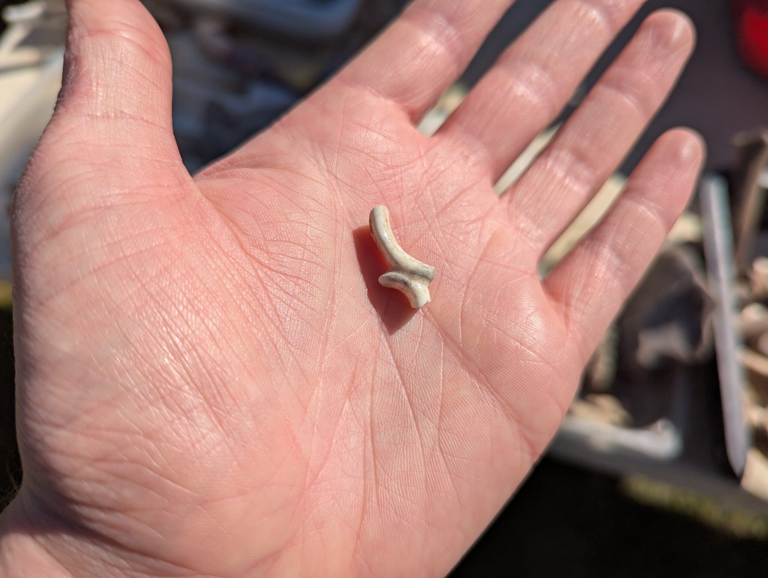
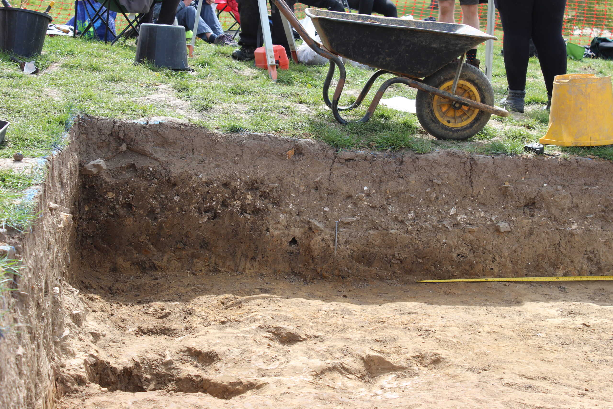
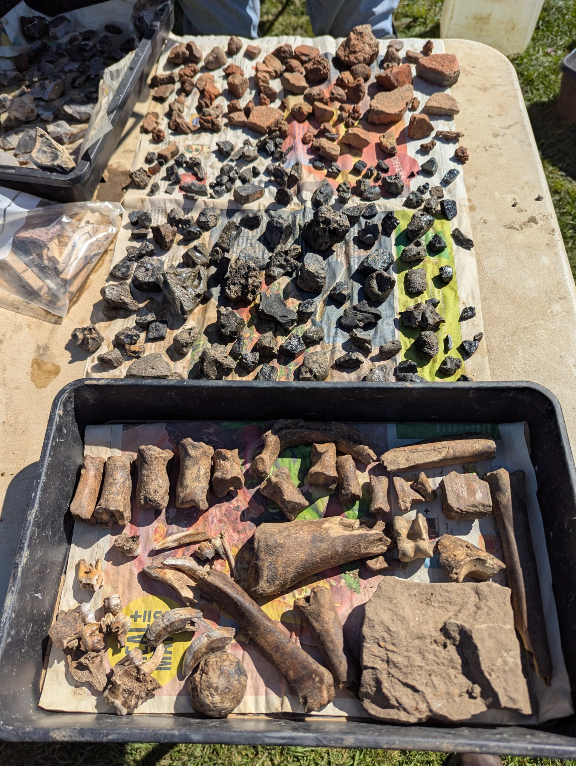
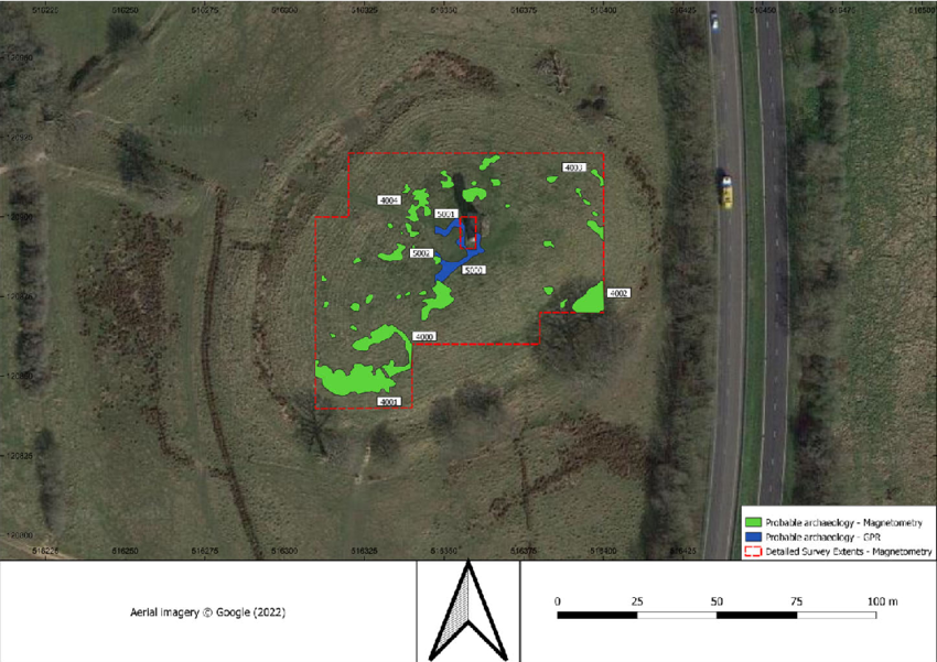
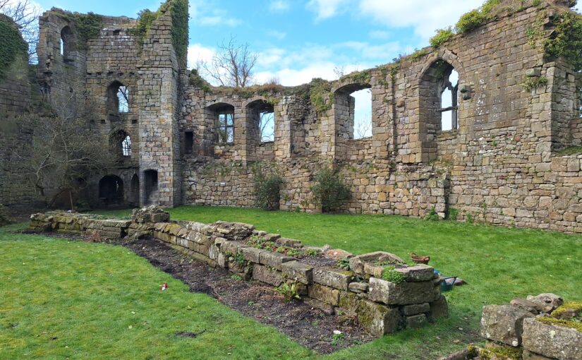
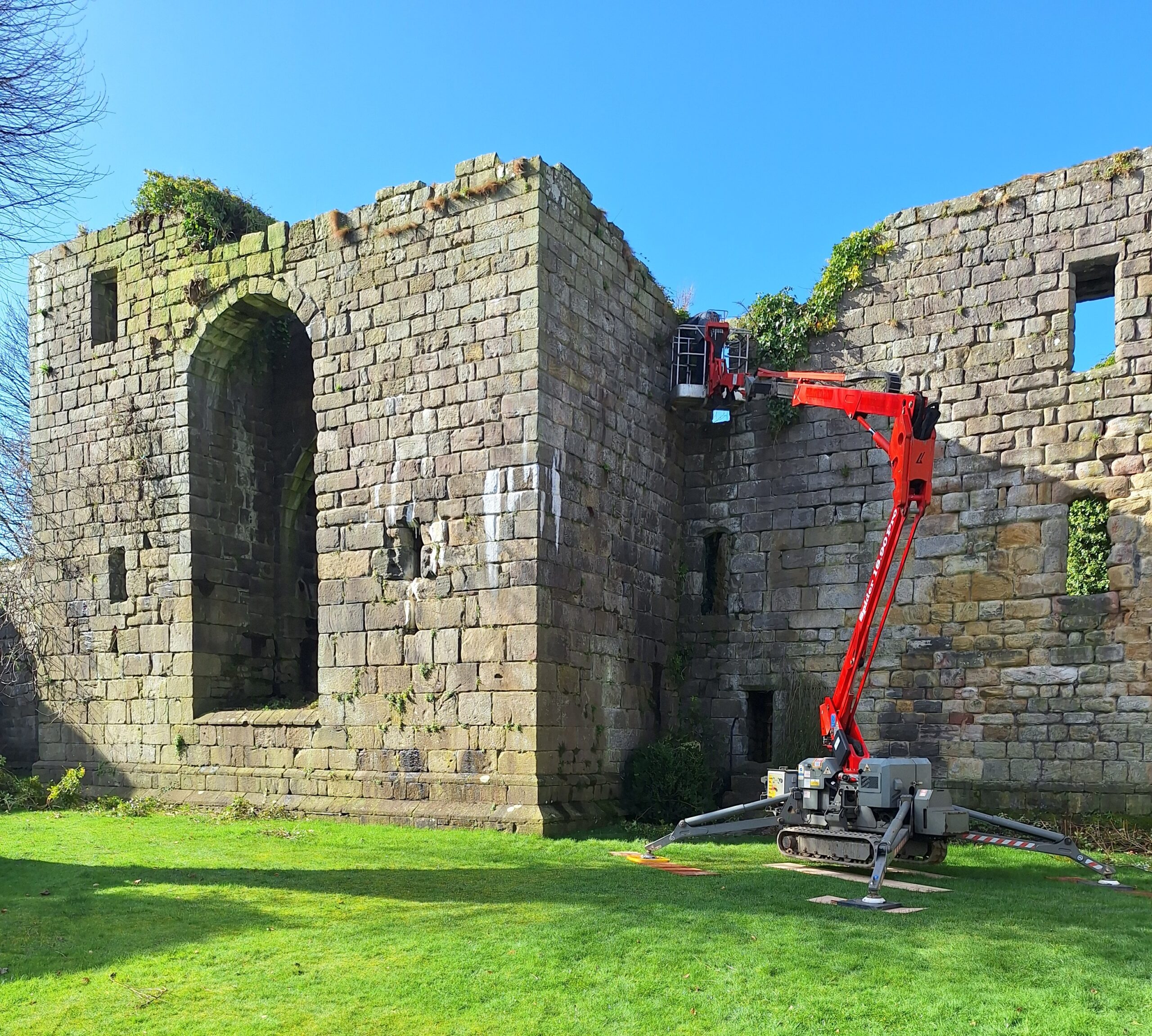
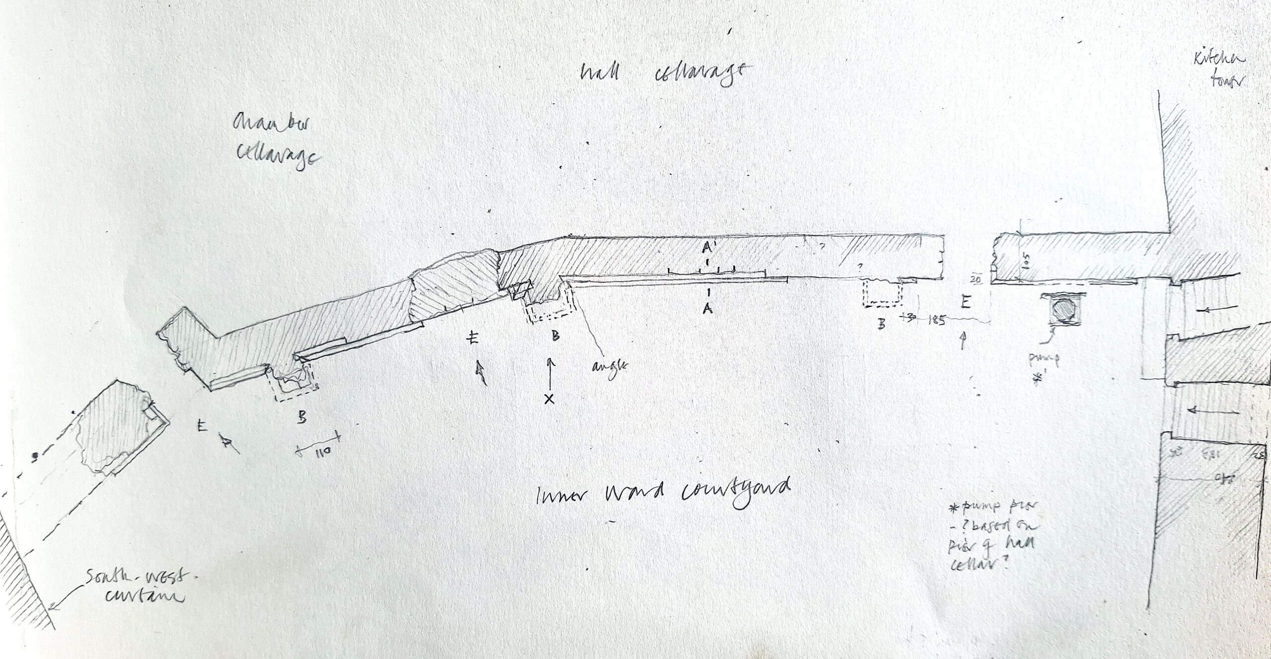
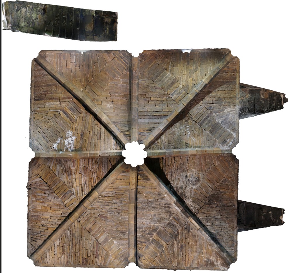
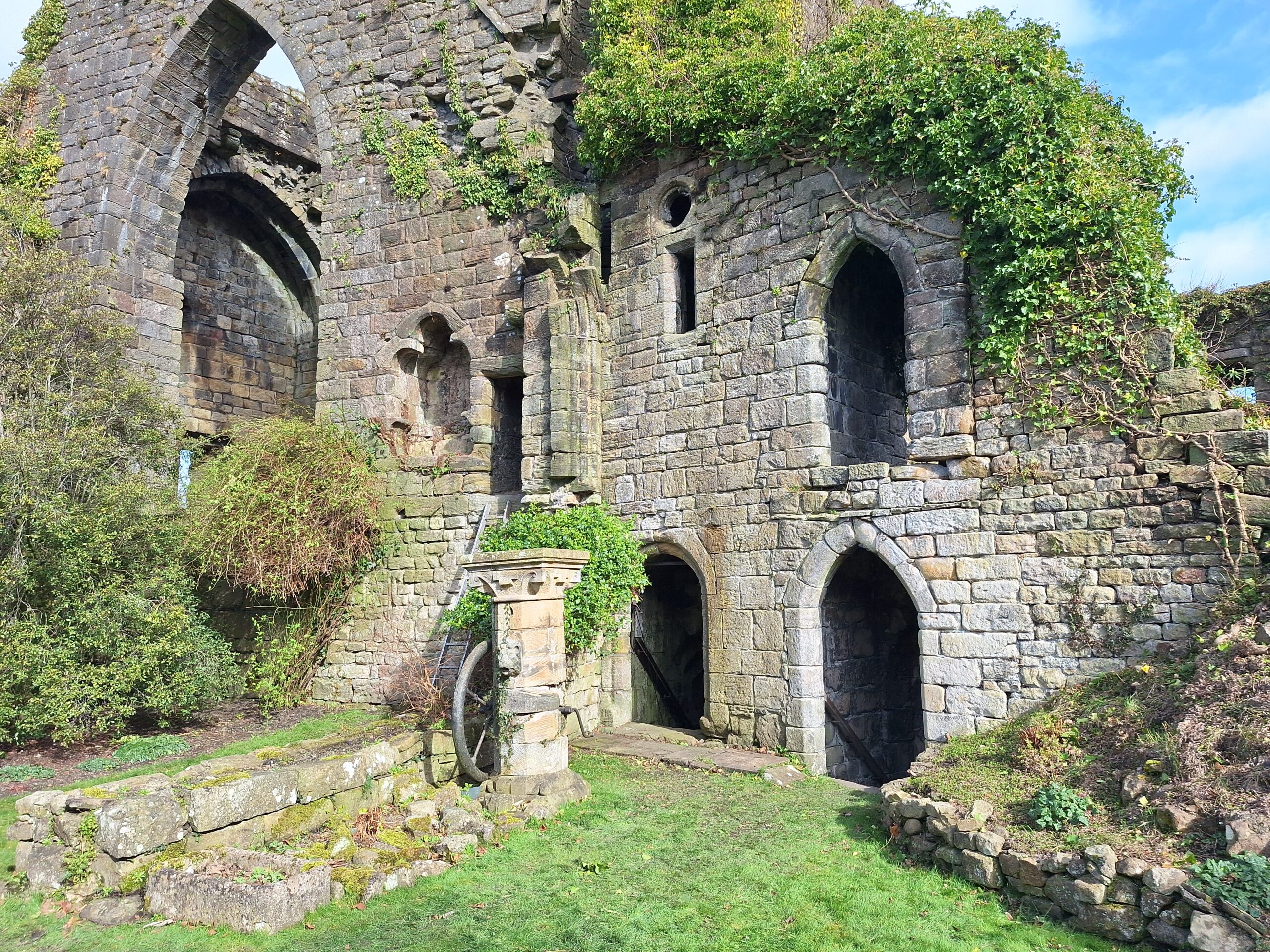
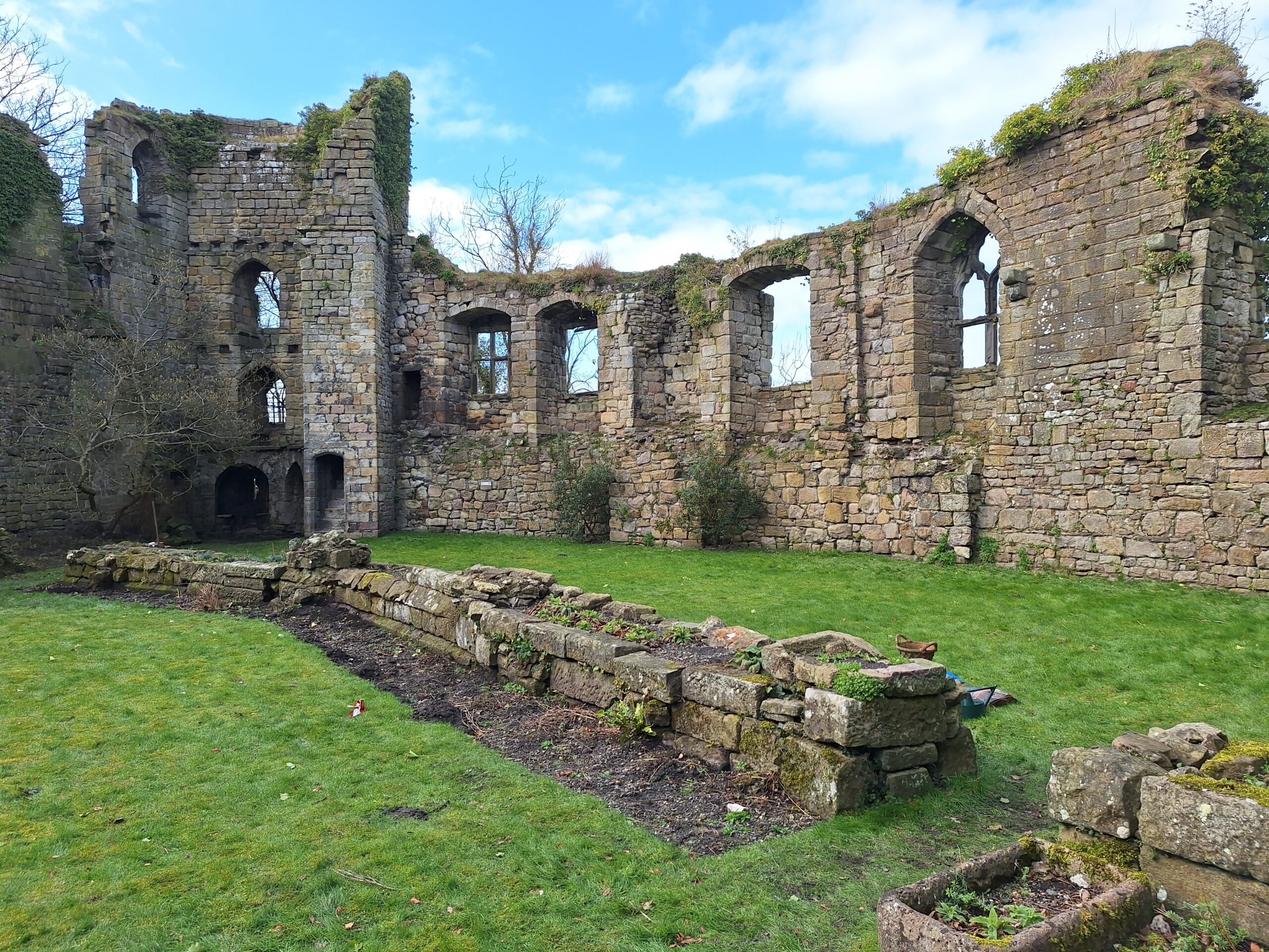
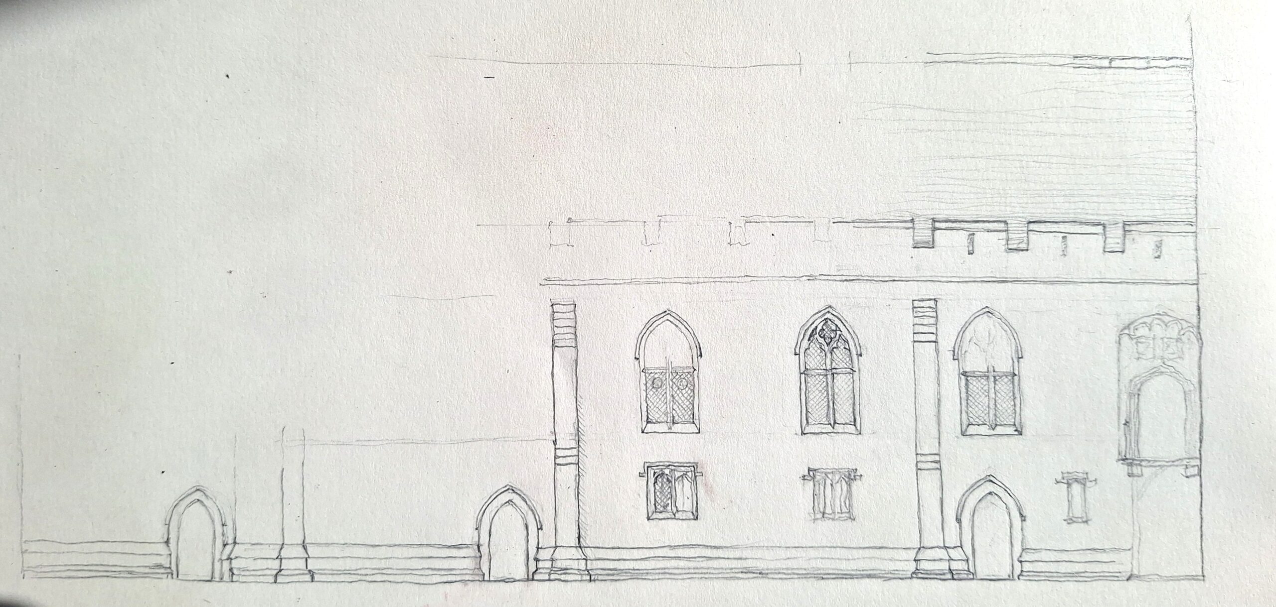
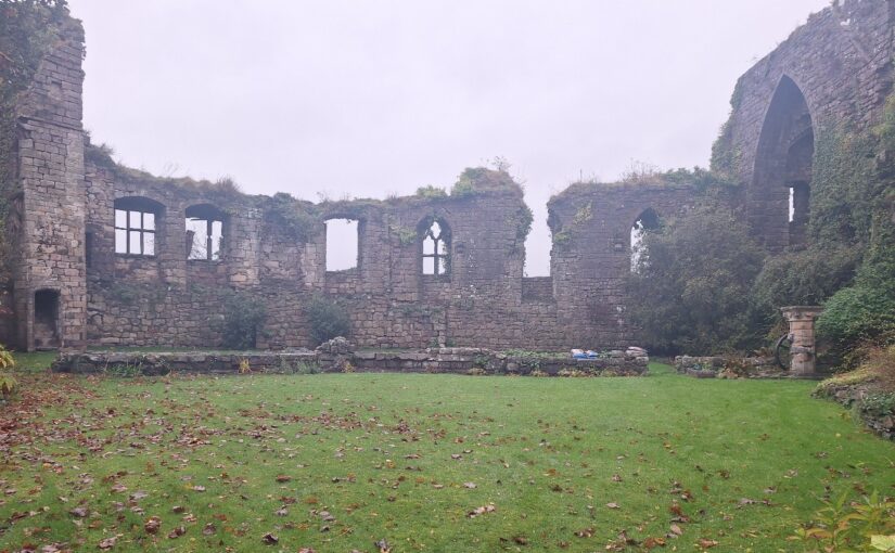
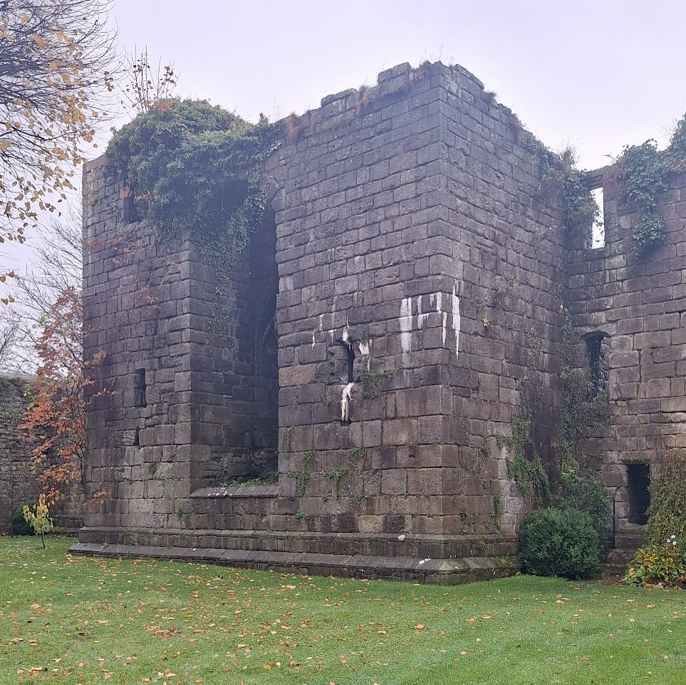
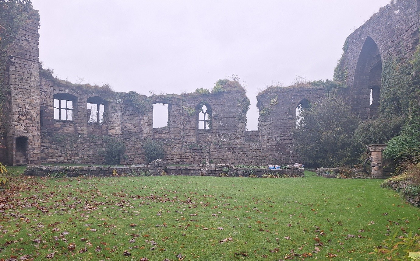
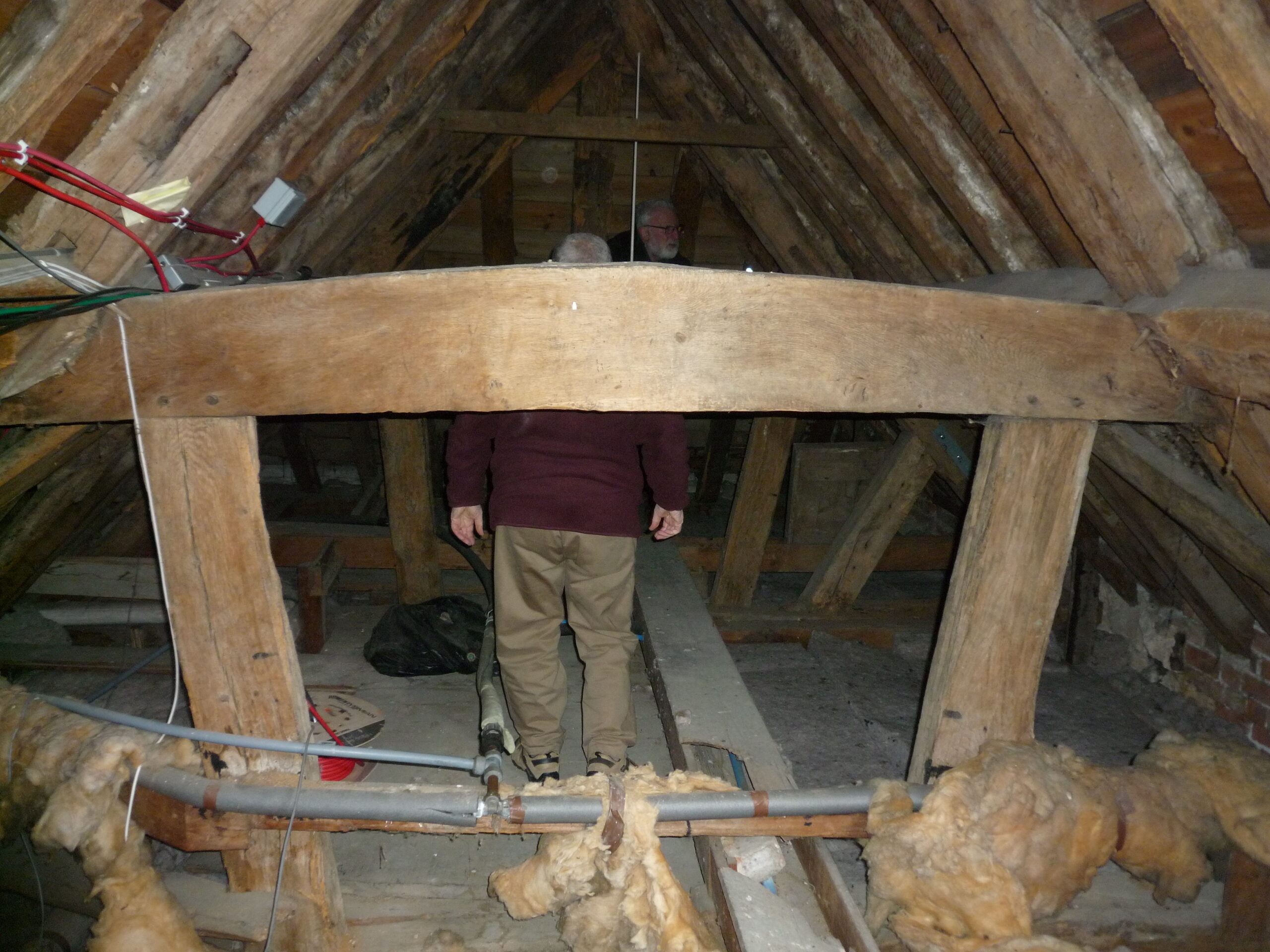
The site is the most archaeologically investigated ‘urban’ castle in North East England, albeit excavations, begun in 1960 and for many years led by Barbara Harbottle, have principally focused on the defensive circuit. Excavations showed how an apparently linear development model can be an oversimplification, highlighted gaps in the understanding of the castle as a whole and revealed problems of correlating archaeological evidence with medieval documentary records. The excavations were also significant in charting the evolution of archaeological practice from essentially amateur archaeological techniques in the 1960s to more modern, scientific investigation. Analysis of the finds offers to reveal new insights into the material culture of the castle’s occupants. Despite the importance of investigations at this site, there has been no published report on the medieval excavations since 1981. This project aims to complete this.
Subscribe to our quarterly newsletter
Between 1981 and 1992 further excavations on the castle site revealed more evidence for the evolution of the castle and aspects of its associated infrastructure. It has been a long running ambition of this Society to see these works brought to publication and to wider academic attention. In 2024 the principal excavator of the site in the 1990s John Nolan, buildings archaeologist and historian Richard Pears, and I in my capacity as editor of Archaeologia Aeliana sought to rectify this situation.
This project involves a synthesis of 30 years of excavations and a reassessment of their results, a new building analysis and interpretation of the site, and the compilation and editing of these results into a single text. With gratefully received funds from Newcastle City Council, the Castle Studies Trust, and the Castle Studies Group we are now progressing with the preparation of a special edition of Archaeologia Aeliana which will achieve the aim of disseminating these important results.
Though there are still funds required that would allow for a full open-access publication, we aim to publish this special edition monograph in early 2027.