Dr Sarah Kerr, Lecturer in Archaeology at University College Cork and expert grants assessor for the Trust, takes a look at her new focus of study, Tower Houses in Ireland, and the issues involved in researching them.
Tower houses have received considerable attention in recent years, most notably Victoria L McAlister’s monograph on the subject (McAlister 2019). Her work brought to the fore the multiplicity of functions performed by tower houses particularly their crucial role in exploiting the natural environment and contributing to national and international economies. Breen and Raven focused on Gaelic-maintained areas on the long western coast of Ireland and considered late medieval tower houses as the primary expression of secular lordship (Breen et al. 2017, 151). Both important pieces of work drew upon – and contributed to – the landscape turn in castle studies by exploring the wider, often maritime, environment.
Subscribe to our quarterly newsletter
Despite these recent developments there are arguably a number of issues which inhibit our understanding of tower houses and may even restrict future avenues of research. Summarised as the tower house problem, these issues are highlighted in the hope that greater awareness may assist averting the limitations they impose. There was a vast – albeit unknown – number of tower houses in use contemporaneously in late medieval Ireland. Harold Leask, (d. 1964) the first Inspector of National Monuments in Ireland, calculated that some three thousand tower houses were documented in the Ordnance Survey maps. Therefore he provided the minimum number of how many existed prior to the mid-nineteenth century (Leask 1941; McAlister 2019, 12; Sherlock 2011, 115). Estimations have varied to over 7000 while the Archaeological Survey of Ireland list approximately 1300 known examples (Sherlock 2011, 115; Barry 1993; Barry 2008b, 129). The result is descriptions of Ireland as ‘the most castellated country in Europe’ (Barry 2008) or ‘one of the most castellated parts’ of the Irish and British Isles (Cairns 1987, 31; O’Conor 1998, 25). Certain areas represent this clearly, particularly in Munster and Leinster, with clusters of tower houses in close proximity to one another.
This vast archaeological record has posed a problem for archaeologists and much work of the 1990s and early 2000s focused on creating types and sub-types to dissect the record into manageable portions. Creation of types based on architectural similarities is useful for understanding individual examples and provincial trends but it doesn’t address the phenomenon of the tower house, the vast numbers and clustering in certain areas. As a method it is therefore limited in its usefulness. In addition, it can led to creating boxes and trying to make examples fit therein, which has obvious shortcomings and may result in overlooking the uniqueness of each example.
Subscribe to our quarterly newsletter
There is a problem more fundamental to tower house research that needs addressed: should they be considered castles? Tower houses are often referred to as castles, small castles or a type of castle and this seems rational as some examples were described as castellum, cúirt or fortalicium by their contemporaries (McAlister 2019, 15). Their architecture supports this classification, as they display features found frequently at larger castles, such as those built by the Anglo-Normans in Ireland around two centuries before tower house building commenced. These accepted castle attributes include machicolations, battlements, arrow loop windows, narrow entrances and thick walls. Other common castle features identified less commonly at tower houses include yetts (iron gate), hagioscopes (squint at the door allowing a line of sight outside), bawns (enclosure wall), adjoined towers, and some ornamentation such as hood mouldings.

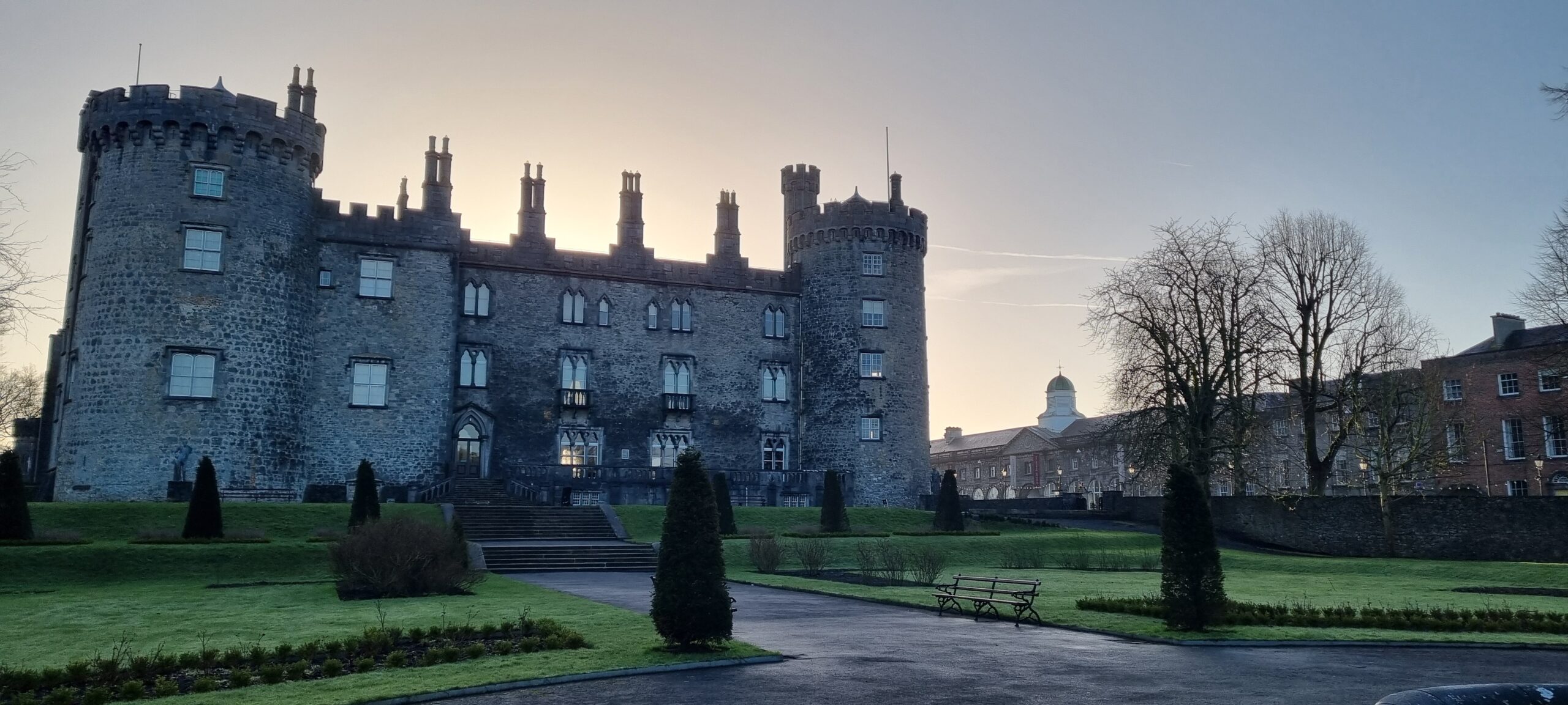
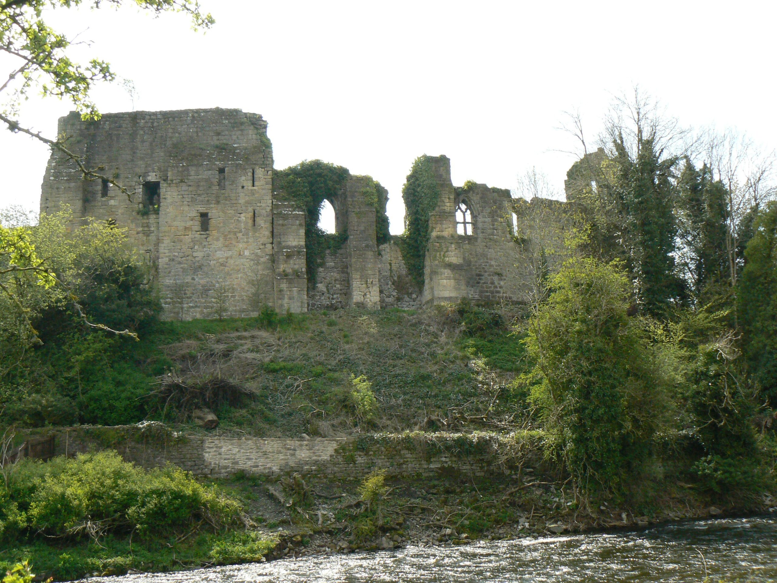
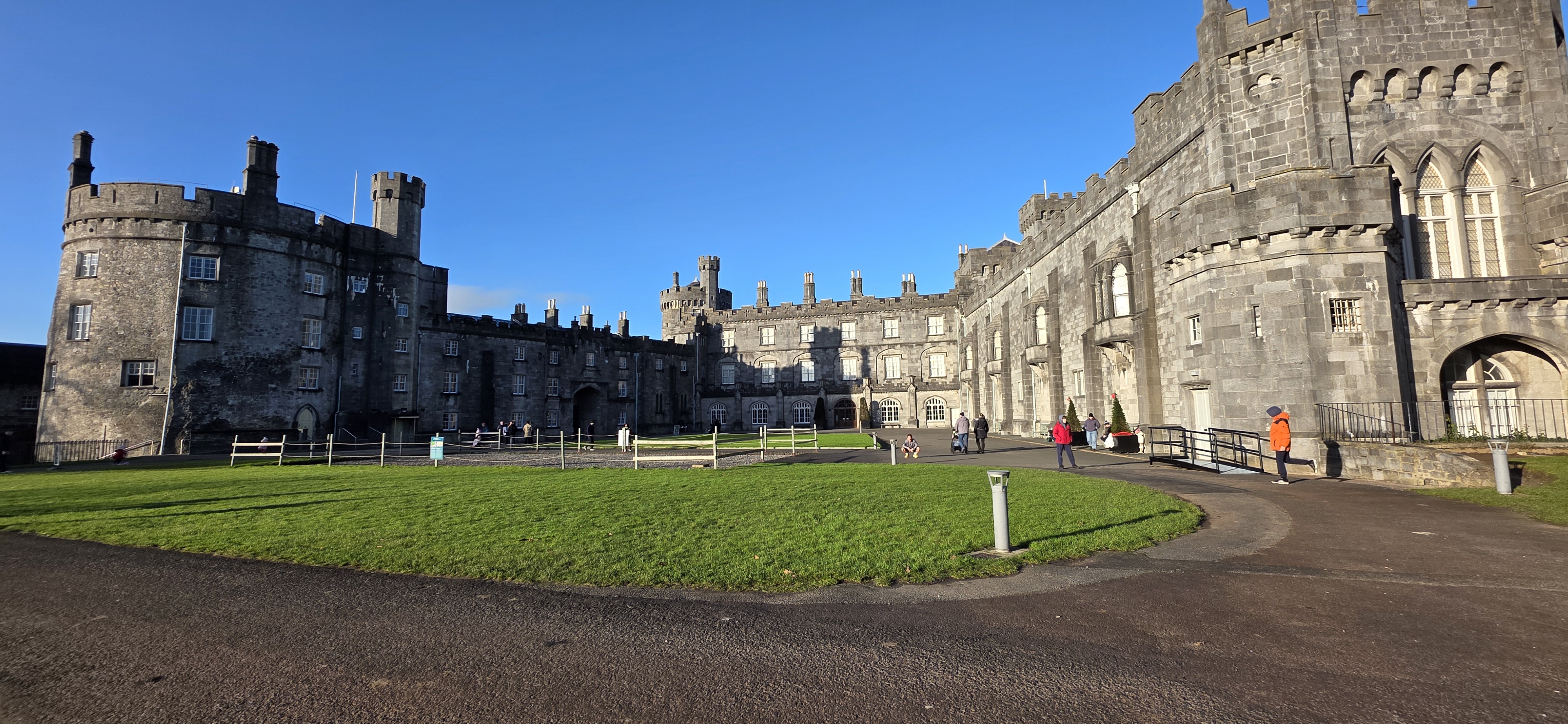
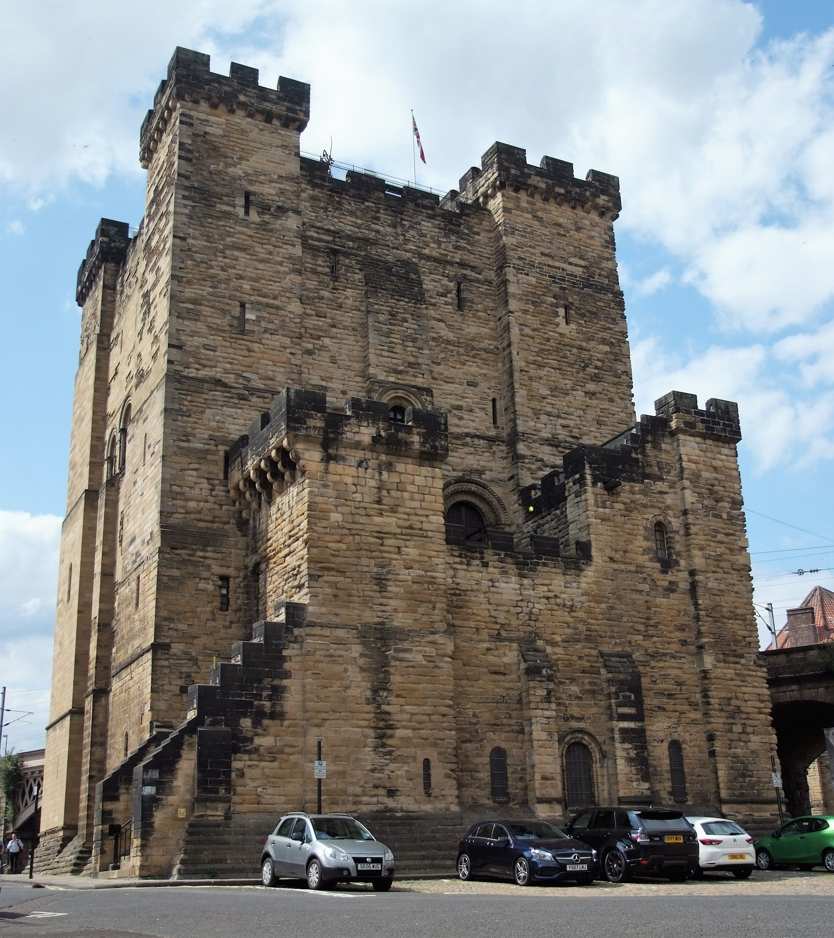
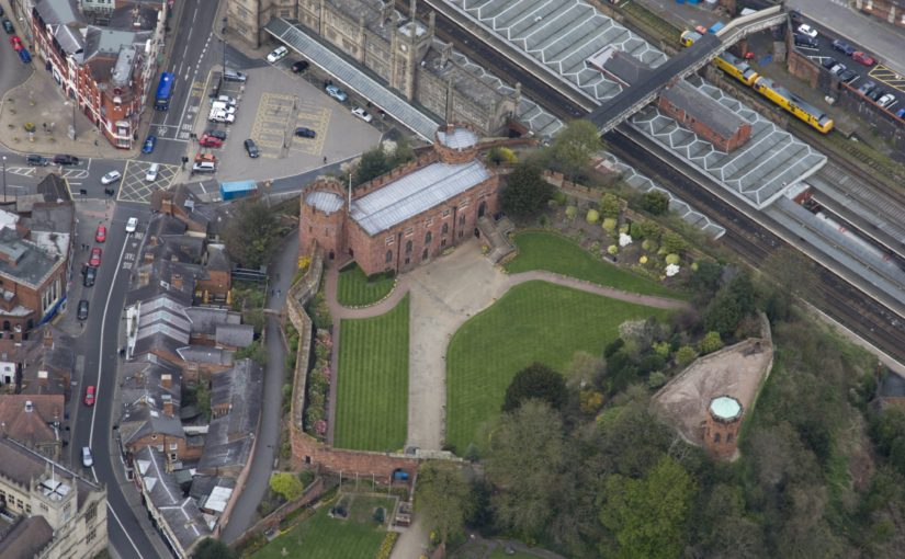
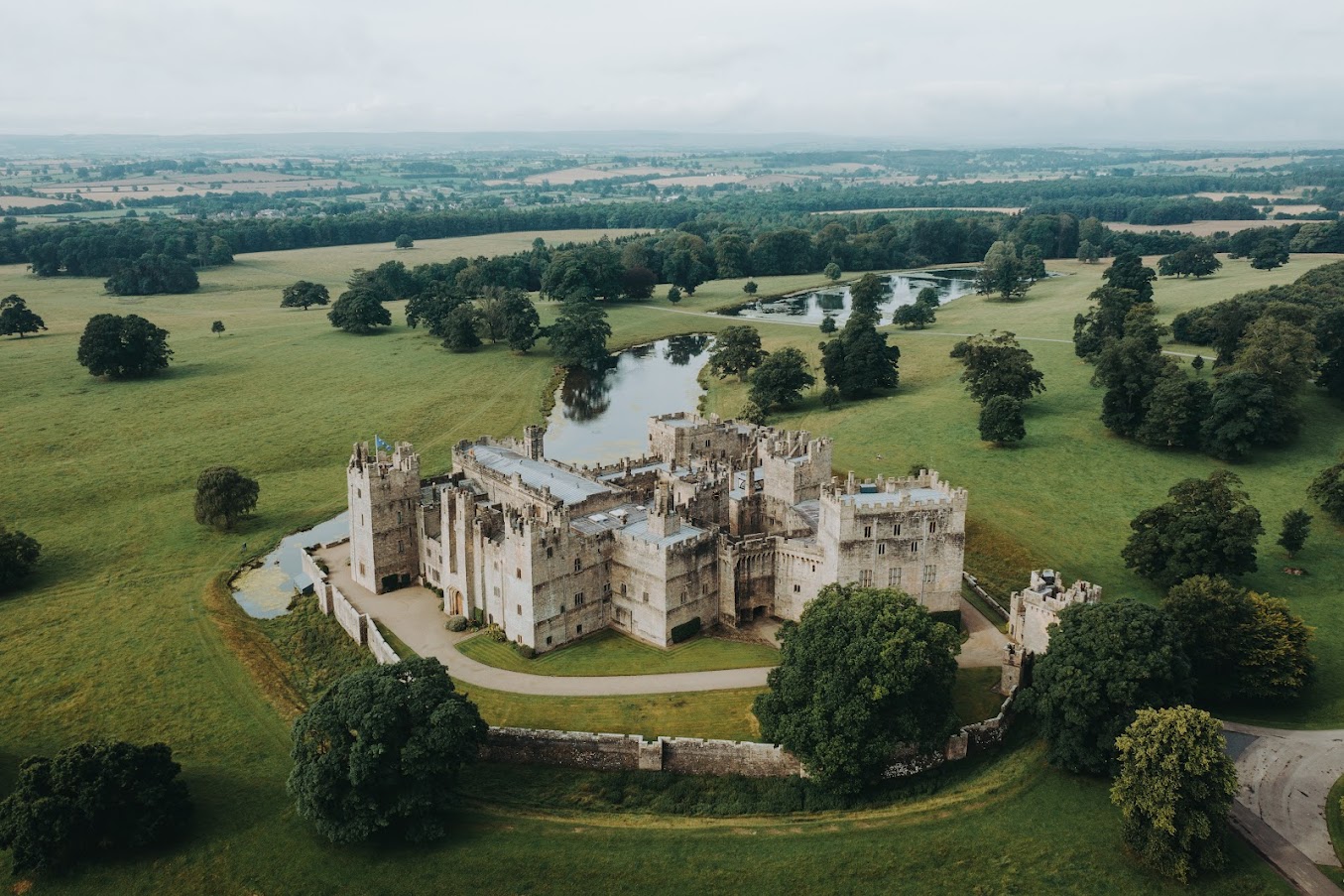
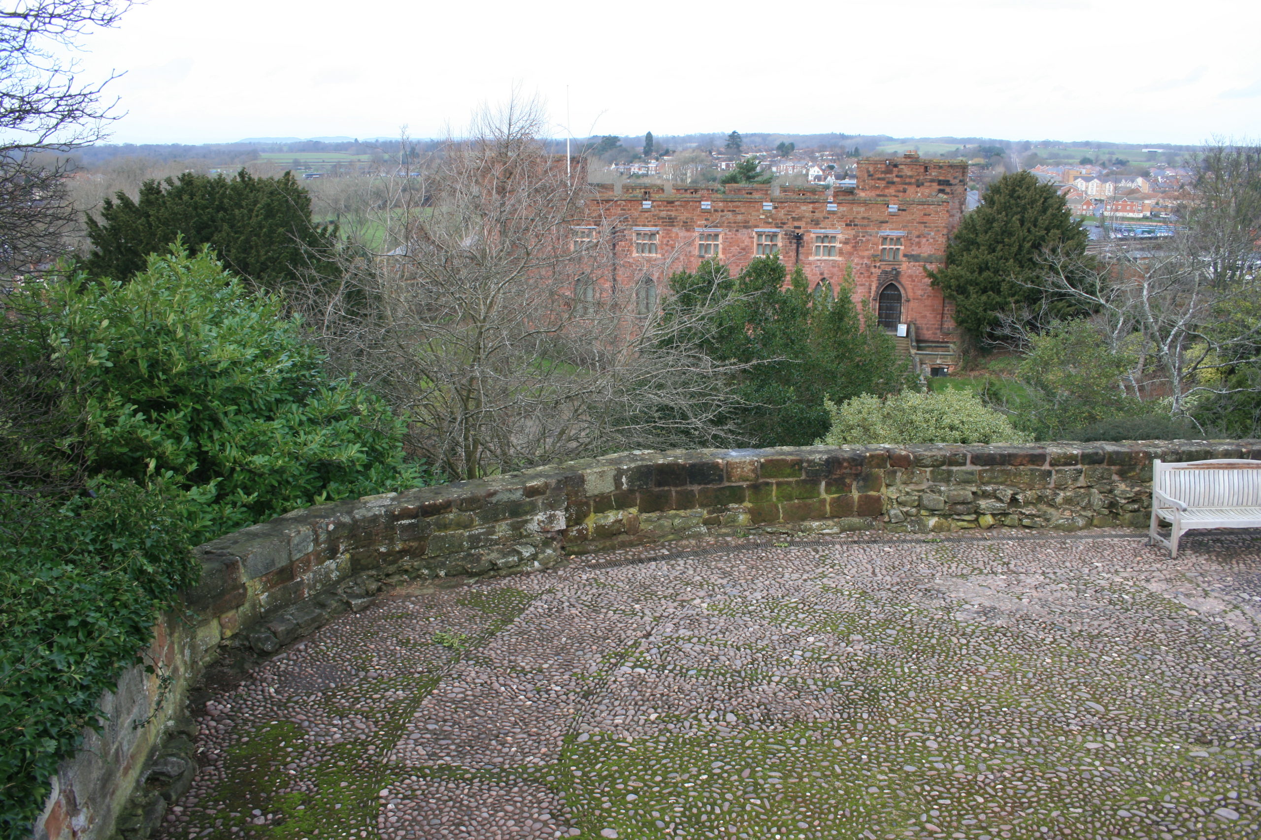
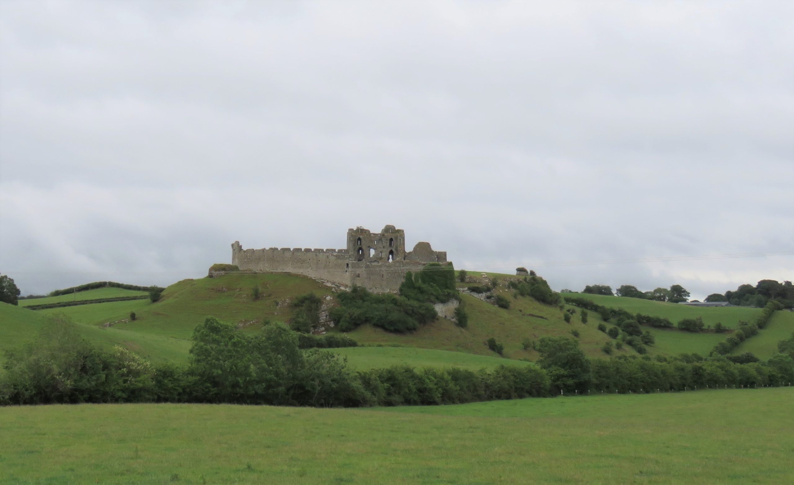
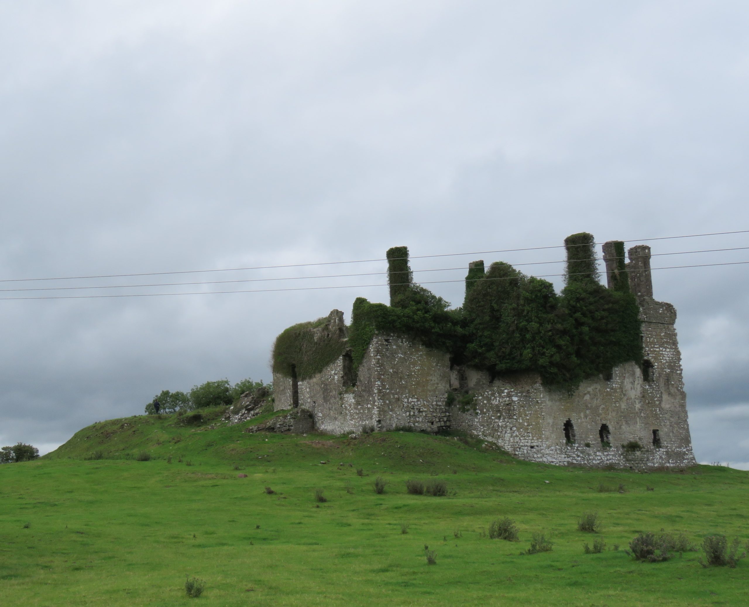
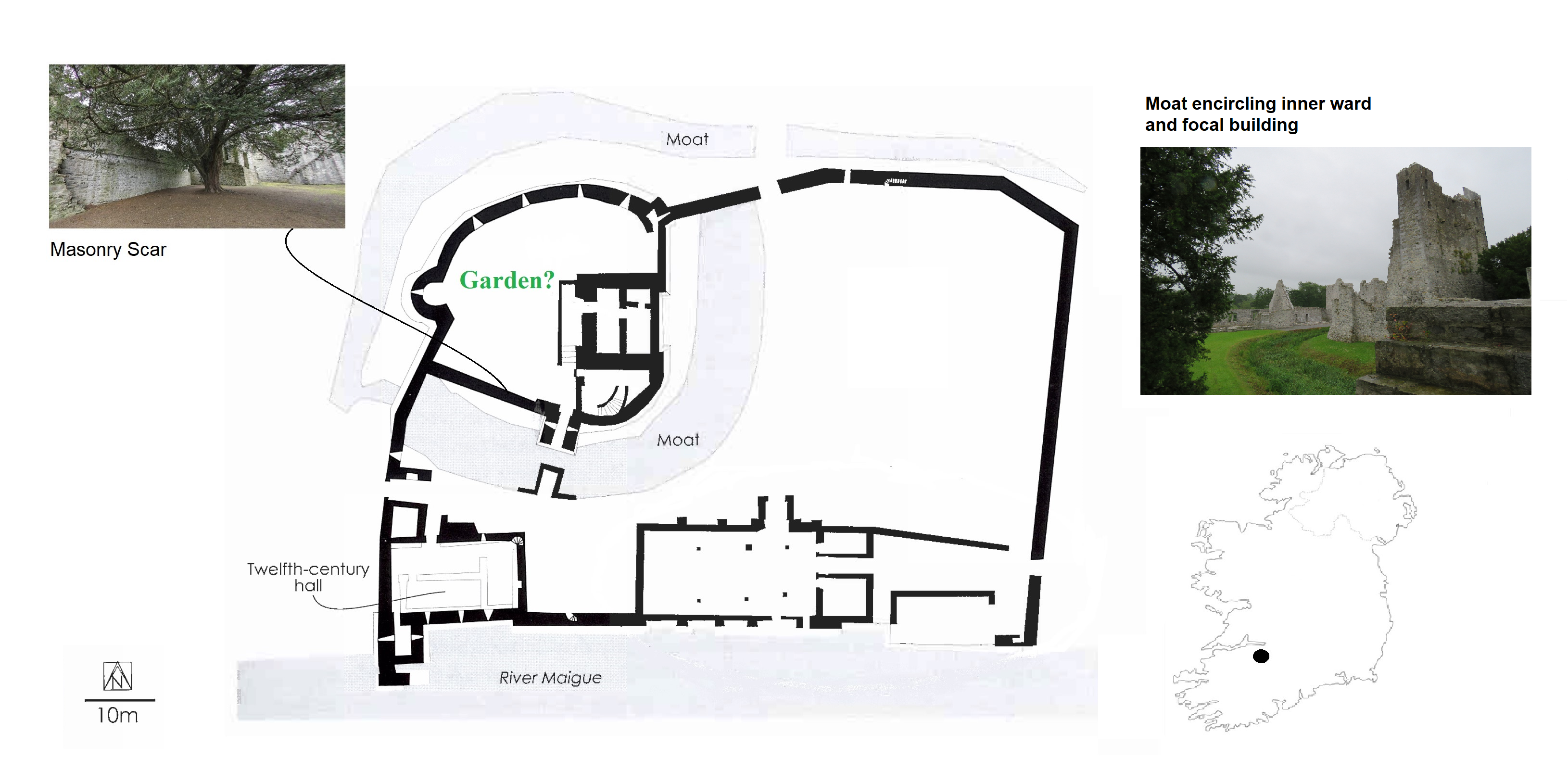
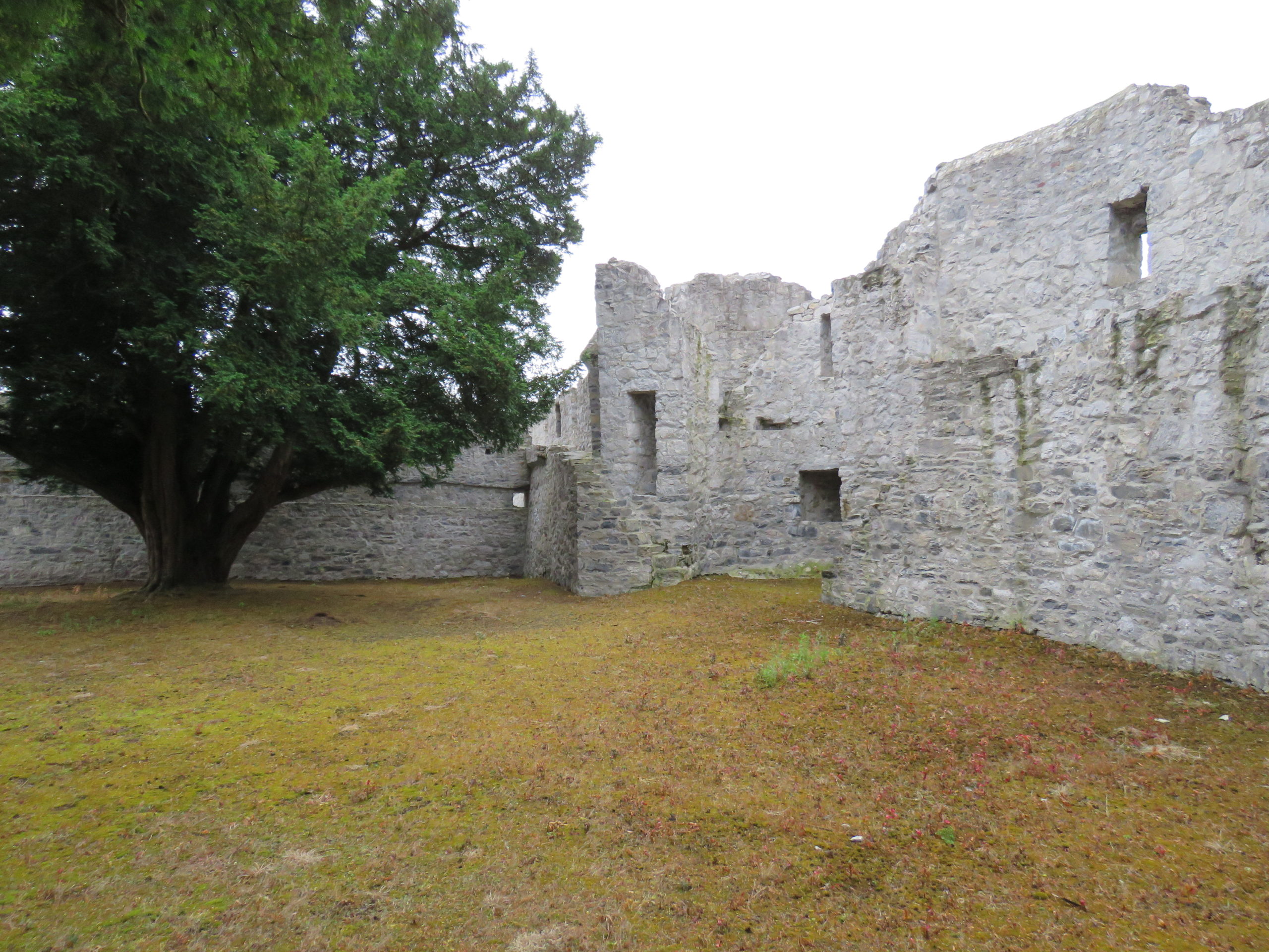
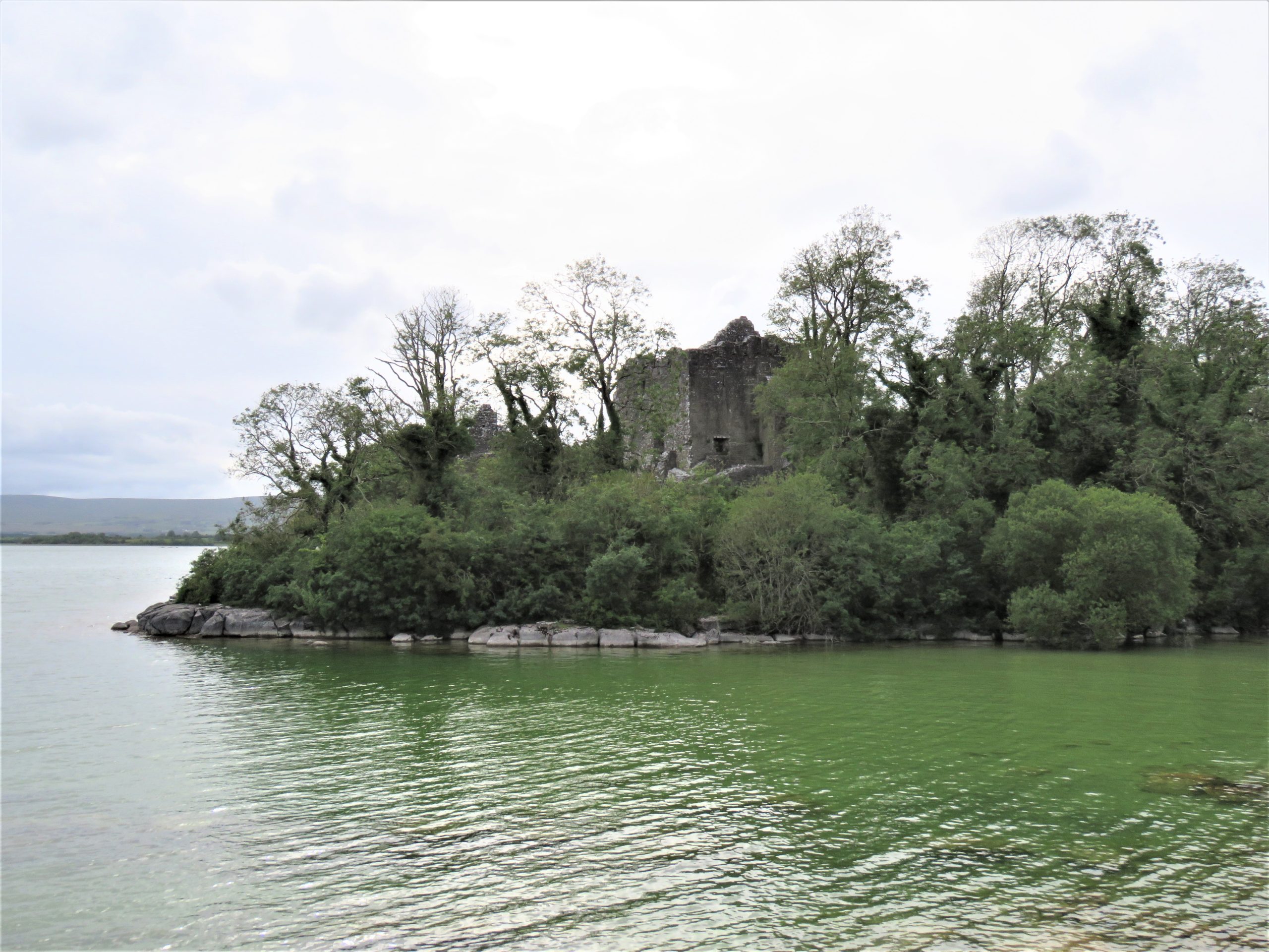
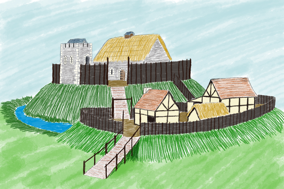
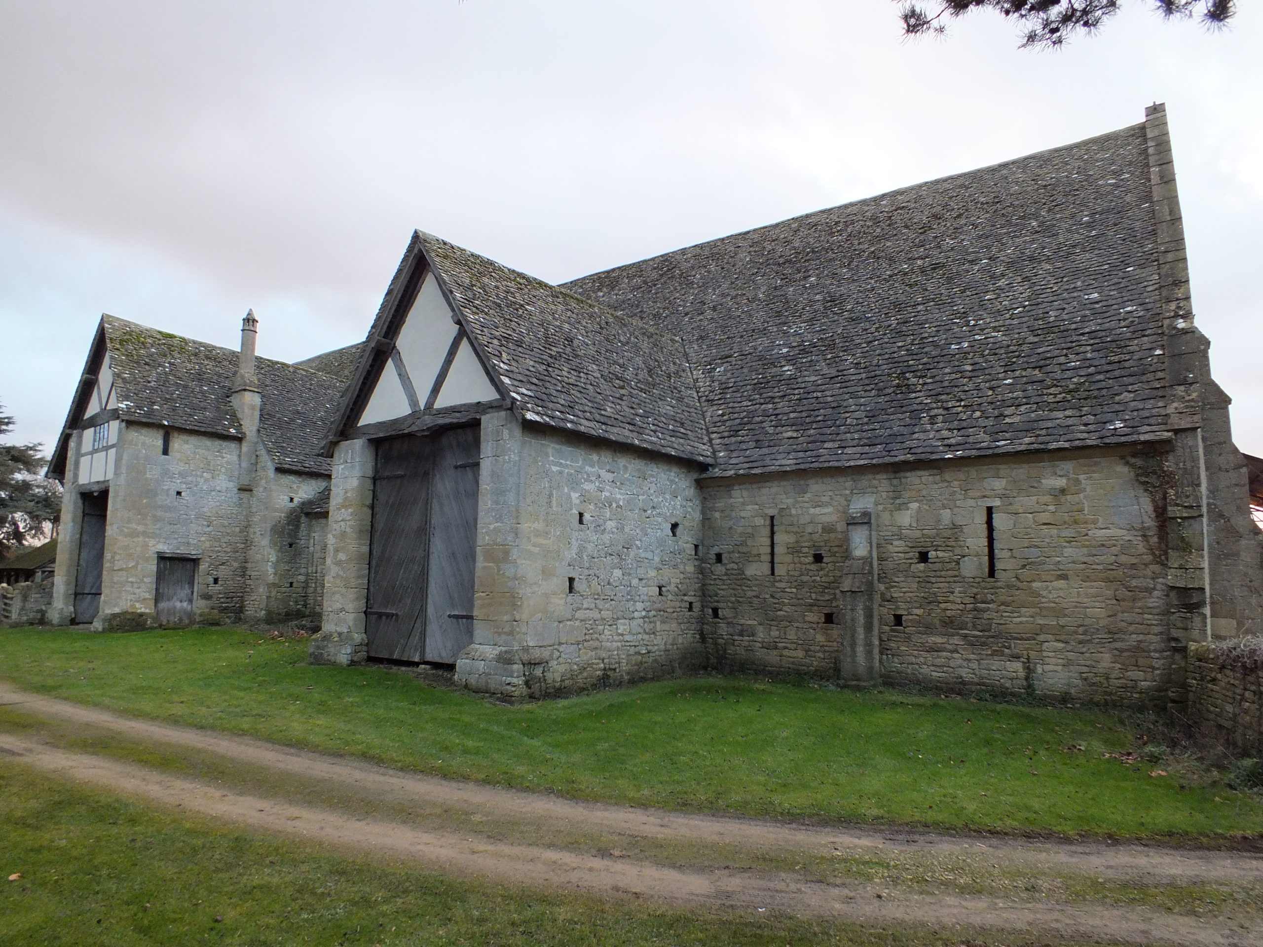
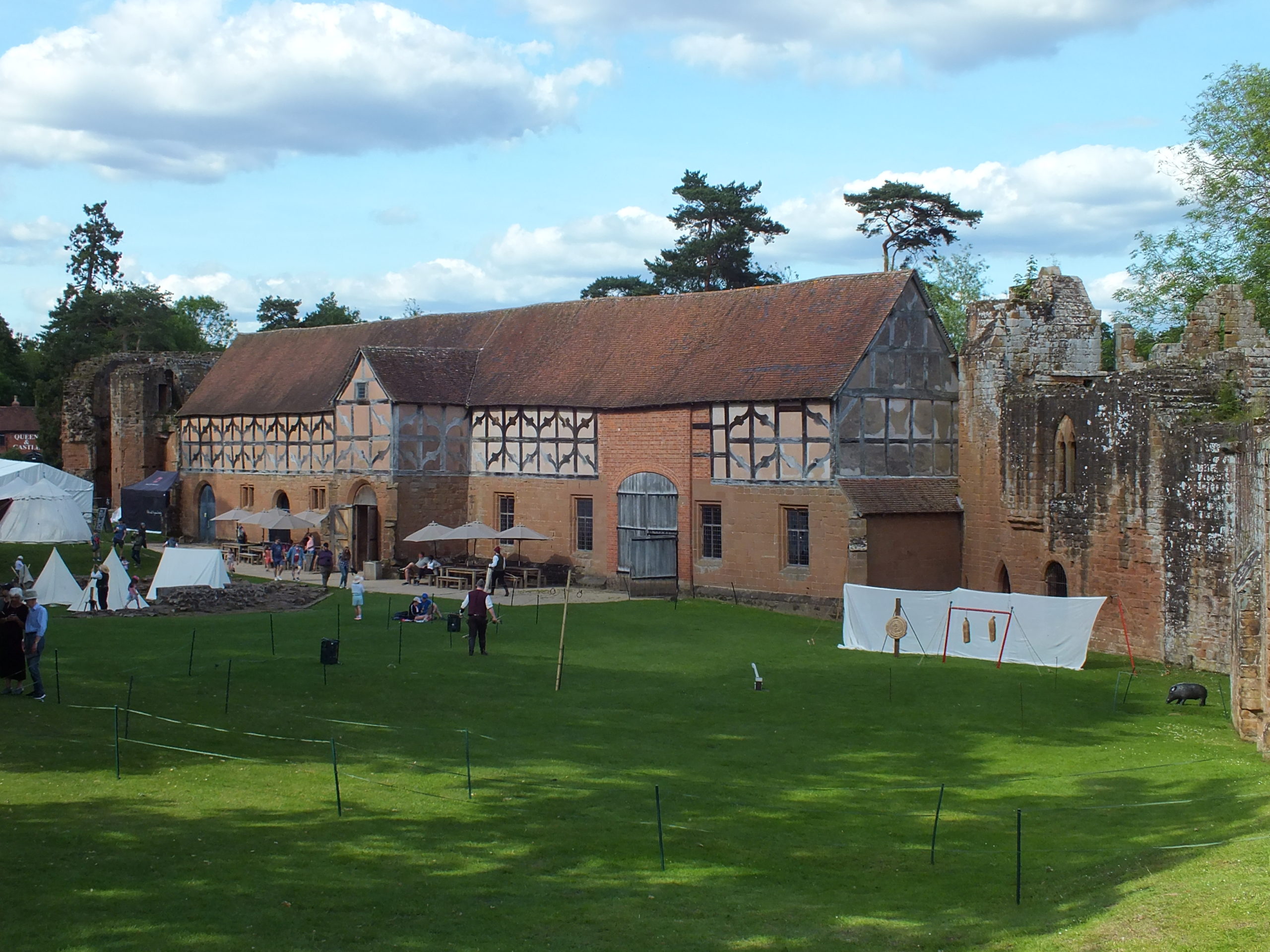
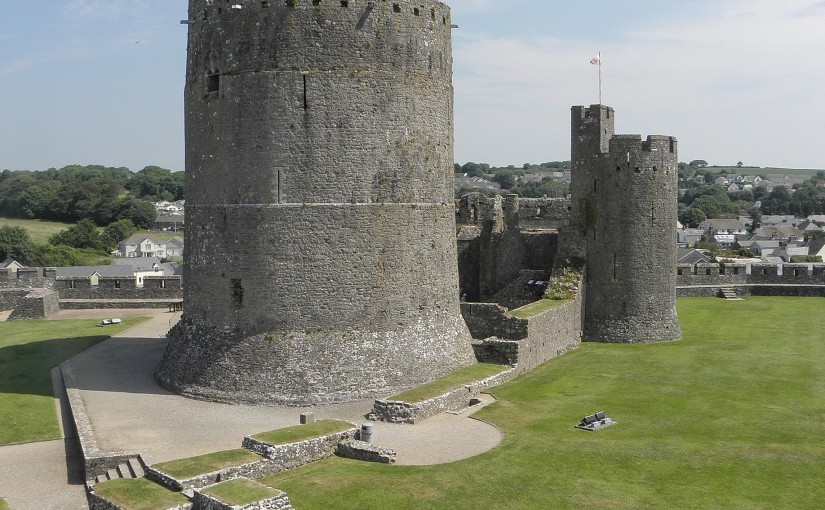
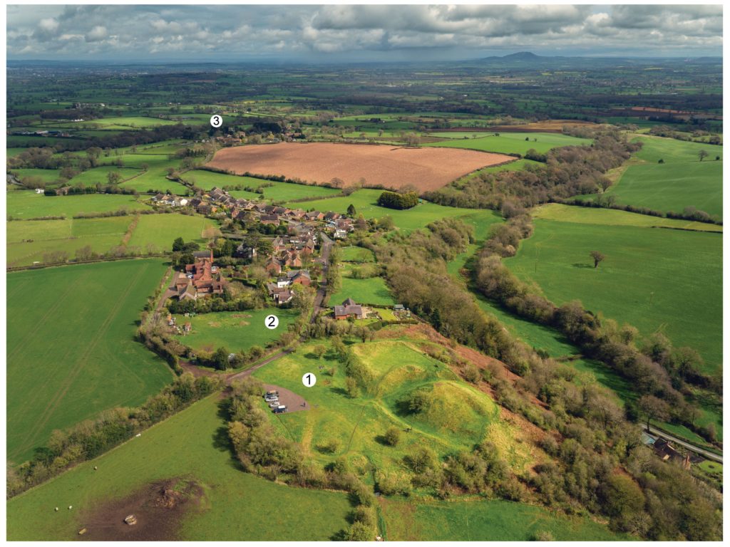
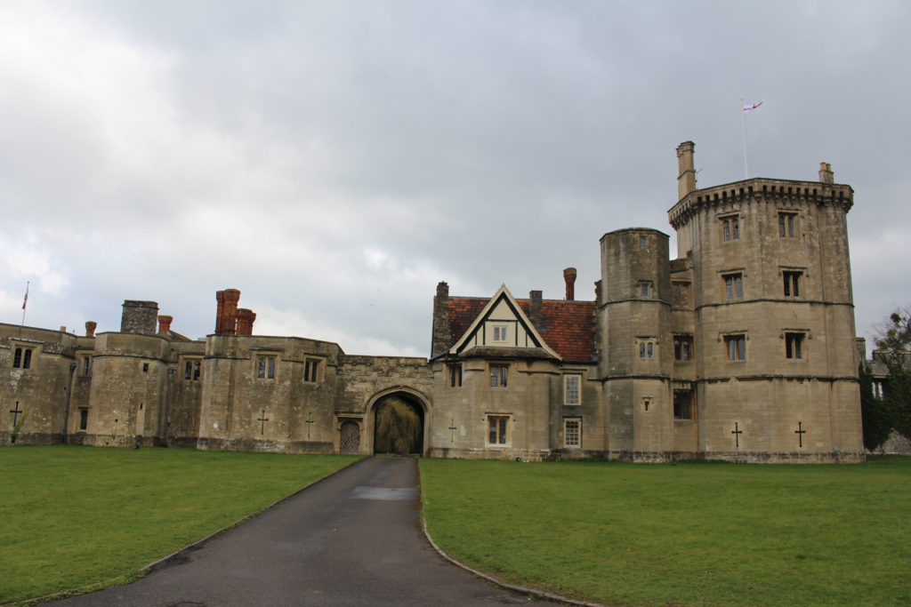
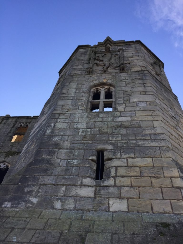
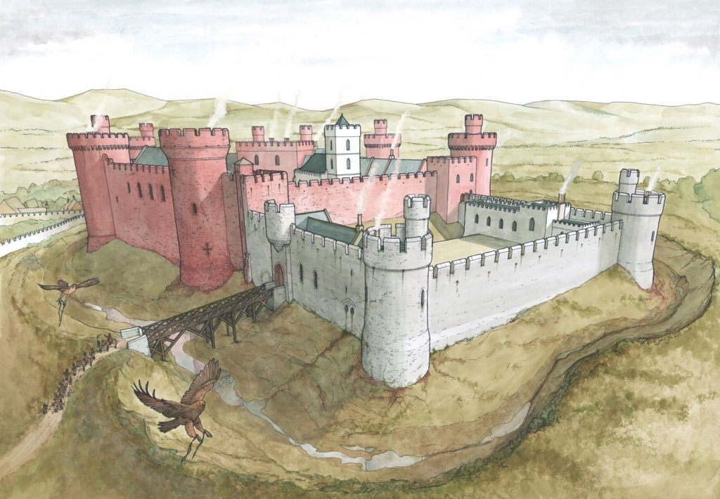
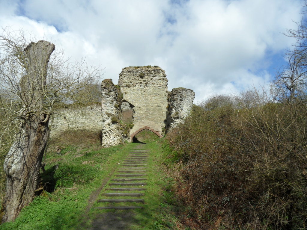
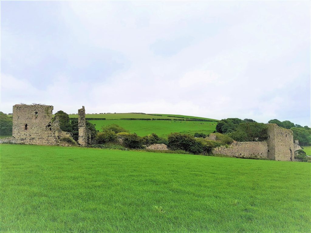
This is where the comparison ends, however, as the form of tower houses was distinct from Anglo-Norman castles. Tower houses were comparatively narrow towers comprising as least three storeys, such as Leamcon locally known as Blackcastle (Figure 1) in West Cork. A batter was required to aid stability (thicker walls at the base) which created slightly larger rooms at the upper levels than those on the lower levels. Windows increased in size with height, with small and sparse windows lower on the façade to create a solid and strong base. Vaults were invariably included within to further aid their structural integrity. These were often at ground-floor level but vaults on other floors were also commonplace. At the upper levels there was a wall-walk, pitched wooden roof and crenelated parapet. The latter could take the form of stepped merlons, often attributed to the Gaelic founders, or the square-crenels type, built primarily by English and Scottish settlers. In addition to the clear architectural differences between earlier stone-built castles of the Anglo-Norman period and tower house, their functions were different. Anglo-Norman castles were tools in colonialism (for example, Trim in Figure 2) and displays of the same whereas tower houses were built by Anglo-Irish and Gaelic elites, merchants and rural landowners, lay and ecclesiastical lords during a period of relative peace and economic prosperity. Some comparison between the types have focused on the towers (donjons or keeps) that were the focal point of Anglo-Norman castles however conclusions are limited due to the scarcity of work carried out on tower house settlements; that is, in their immediate surrounds.
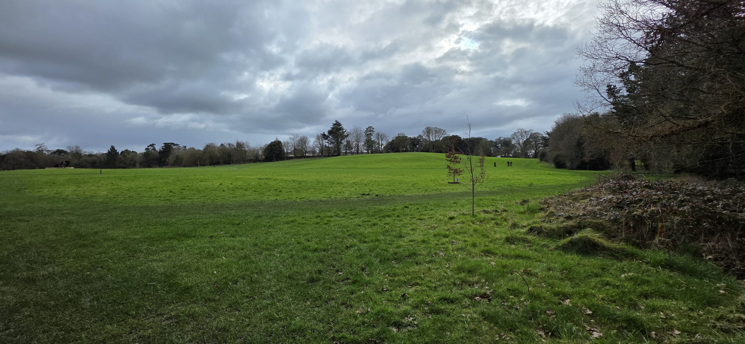
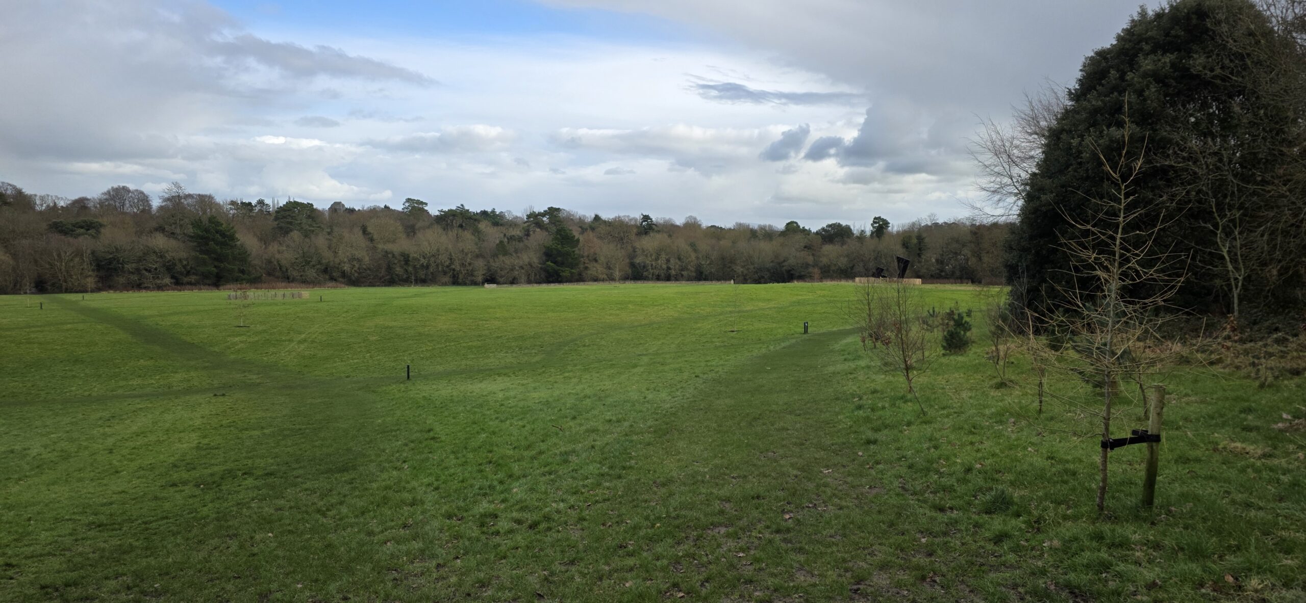
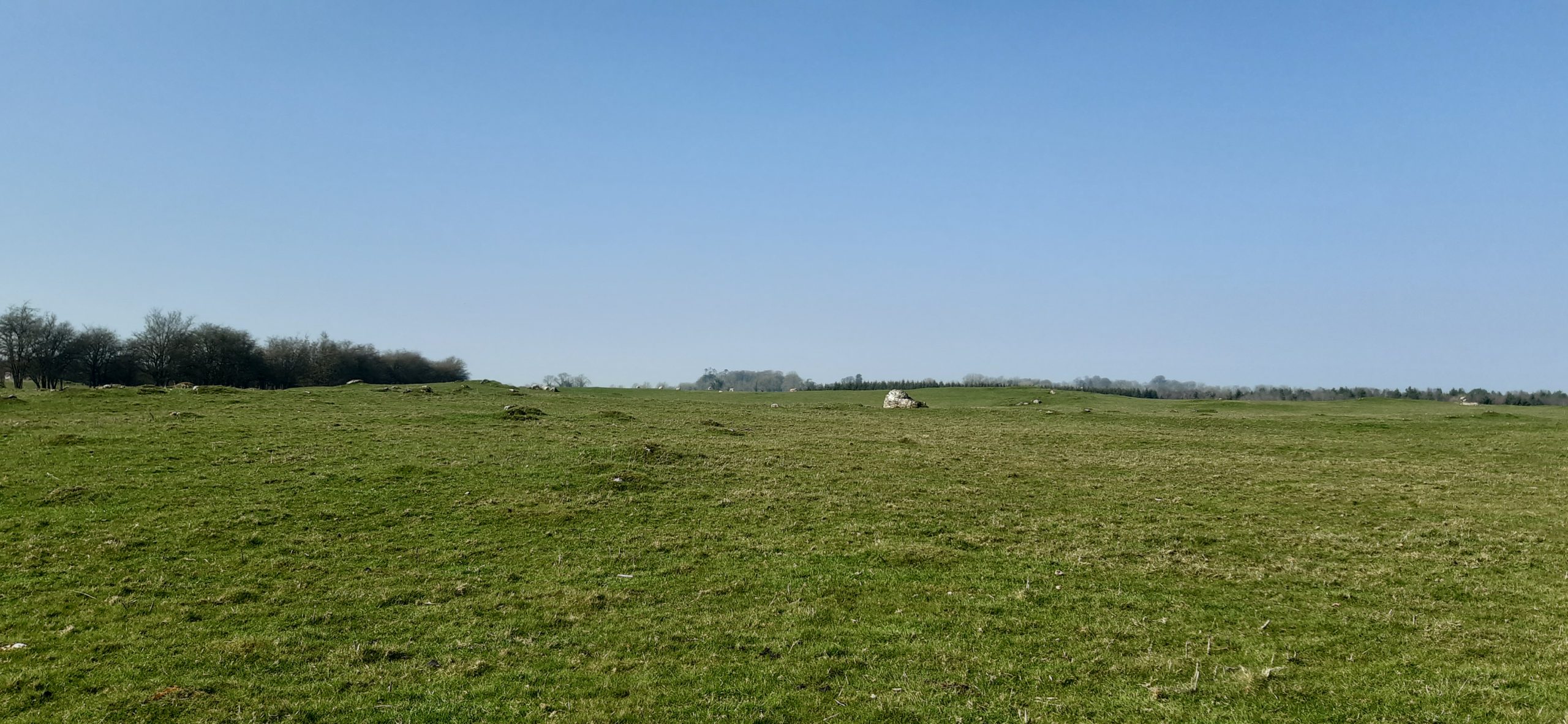
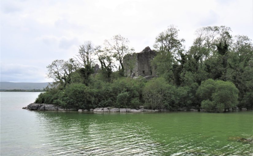
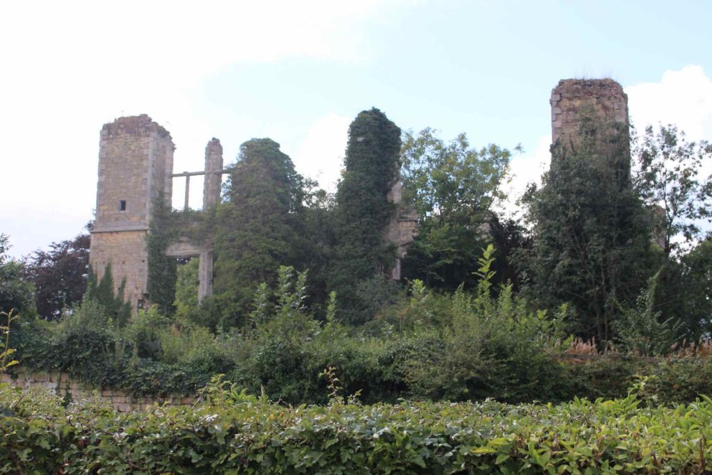
I have recently made the argument that, combined, the above issues create the tower house problem and awareness of this is required to continue studying these buildings in an effective way. The tower house problem is typified in West Cork, a culturally distinct area west of Cork City that encompasses the south-west coastline of Ireland and comprises large peninsulas with numerous small inlets and embayments. The area is dense with extant and lost late medieval tower houses; Figure 3, is a photograph taken from Rincolisky (Whitehall) tower house with Kilcoe tower house visible across the bay. Recent fieldwork sought to examine the density of tower houses, examples of which are sometimes referred to as the ‘West Cork type’, and consider the phenomenon through the lens of spatial analysis, placename evidence and architectural analysis – results forthcoming. The fieldwork however has presented broader questions about whether we should consider tower houses castles. Either way, to do so or not should be justified perhaps with reflection upon terminological limitations. Accepting the distinctiveness of tower houses might be more productive in further understanding the reasons behind their construction and use – and crucially overcoming the tower house problem.
Subscribe to our quarterly newsletter
Barry, T. 1993. The archaeology of the tower house in later medieval Ireland. In H. Andersson & J. Weinberg (eds) The Study of Medieval Archaeology, 211–18. Stockholm: Almqvist & Wiksell International
Barry, T. 2008a. The study of medieval Irish castle: a bibliographic survey. Proceedings of the Royal Irish Academy: Archaeology, Culture, History, Literature 108 (C): p.115-136.
Barry, T. 2008b. The study of medieval Irish castles: a bibliographic survey. Proceedings of the Royal Irish Academy. Section C: Archaeology, Celtic Studies, History, Linguistics, Literature 108C: p.115–136.
Breen, C., & Raven, J. 2017. Maritime Lordship in Late-Medieval Gaelic Ireland. Medieval Archaeology 61(1): p.149–182.
Cairns, C.T. 1987. Irish tower houses: A Co. Tipperary case study. Dublin: Trinity College Dublin.
Leask, H.G. 1941. Irish castles and castellated houses Revised edition. Dundalk: Dundalgan Press.
McAlister, V. 2019. The Irish tower house: Society, economy and environment, c. 1300-1650 1st edition. Manchester (GB): P648 – MANCHESTER UNIV PR.
O’Conor, K.D. 1998. The Archaeology of Medieval Rural Settlement in Ireland. Dublin: Royal Irish Academy.
Sherlock, R. 2011. The evolution of the Irish tower-house as a domestic space. Proceedings of the Royal Irish Academy. Section C: Archaeology, Celtic Studies, History, Linguistics, Literature 111C: p.115–140.