By Dr Peter Purton
Most people know what a palace is. Defining a castle is a bit trickier, despite half a century having passed since the traditional military version was challenged and replaced by modern castellologists. But most agree that the symbolic and residential roles of a palace must be included in any understanding of a castle. If you look at any plan of a German castle you will see the word ‘Palas’ attached to the main building inside it; this definition reaches down the scale to the smallest Irish tower house, where the modest tower represents the ‘palace’ of a landowner, at least in their own eyes and certainly as seen by the peasants living around them, or their peers living in similar towers nearby.
Medieval rulers began to make use of gunpowder weapons to wage war from the middle of the fourteenth century. I am co-writing, with Dr Christof Krauskopf (who works at the Brandenburg Authorities for Heritage Management and Archaeological State Museum in Germany), a new book studying how fortifications evolved during the first two centuries of gunpowder weaponry.
Subscribe to our quarterly newsletter
It is commonly accepted that over time (for England, most would say this occurred under the Tudors) any military role for castles disappeared altogether, and instead became the exclusive remit of forts and fortresses (Henry VIII’s coastal artillery forts, for example, which despite their English Heritage titles are not castles), while royalty and nobility resided in palaces and country houses. But what happened before this point was reached? Were defensive functions also fulfilled by the palatial castles built by royals and nobles after guns began to make a significant impact on the conduct of war?

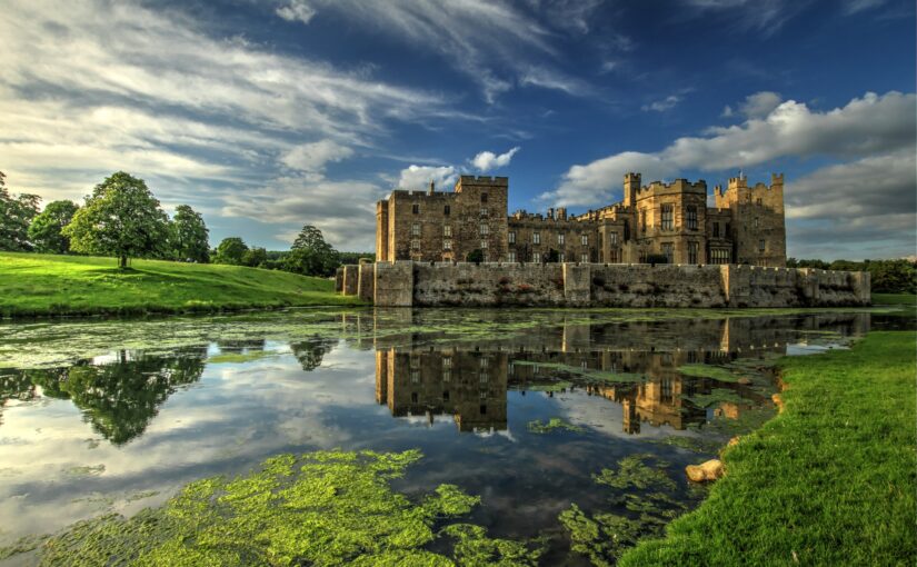
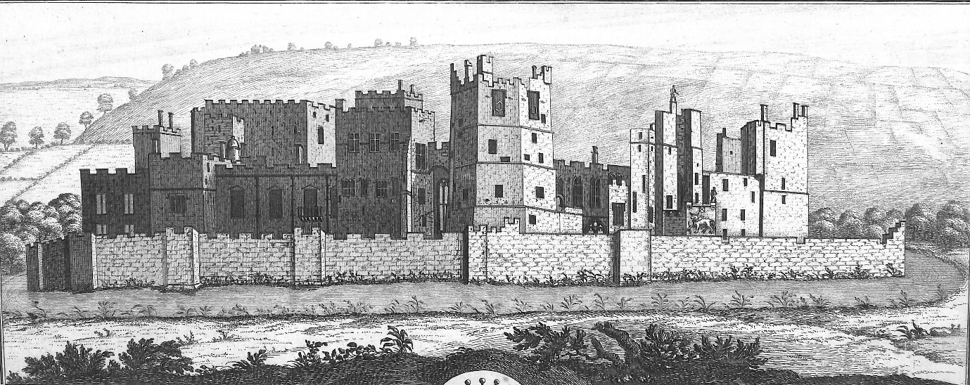
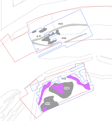
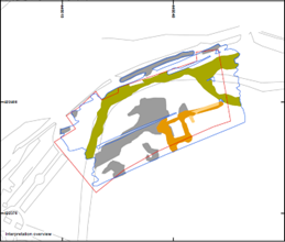
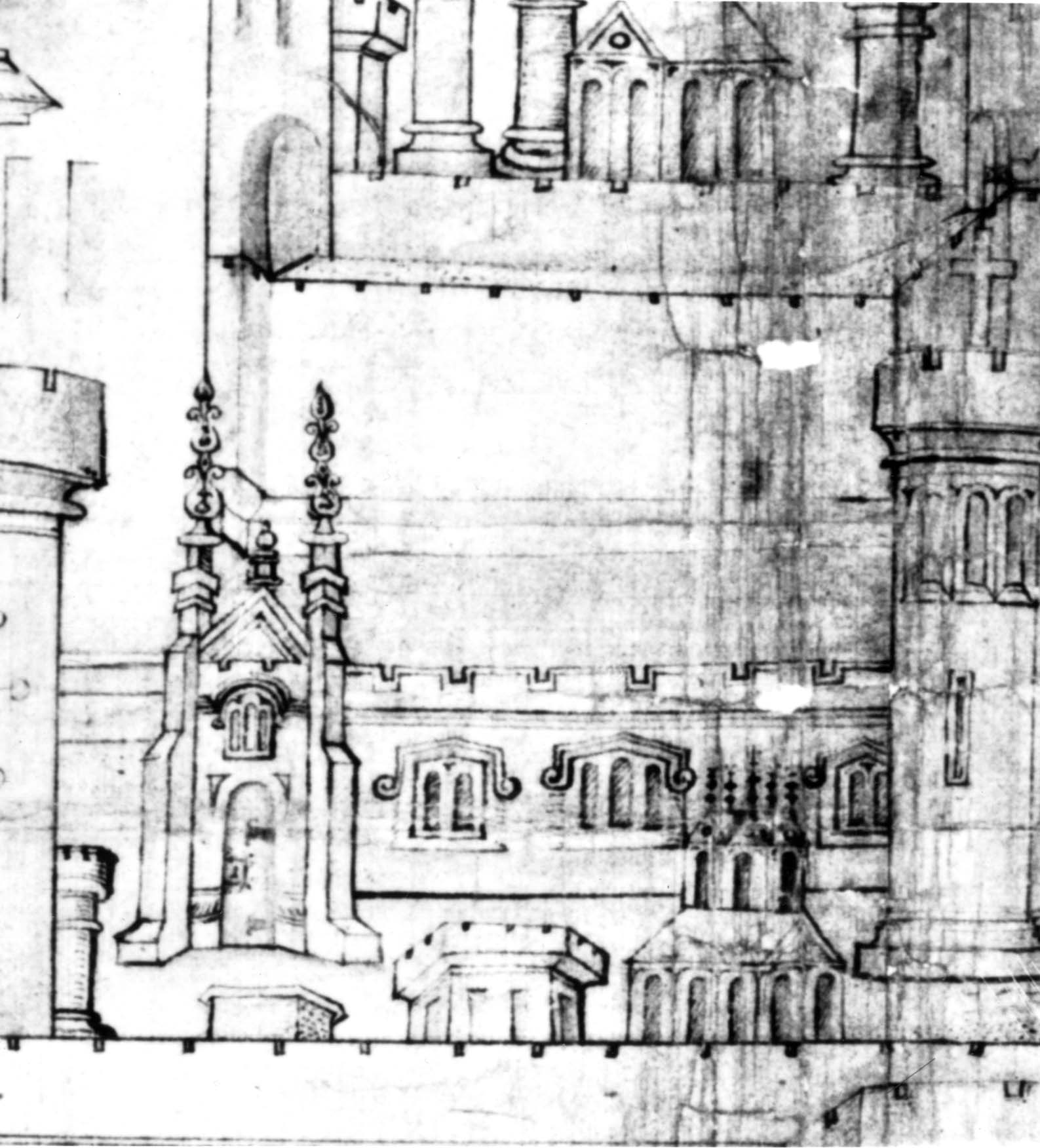
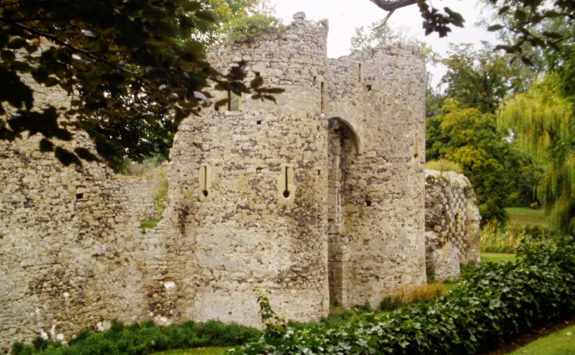
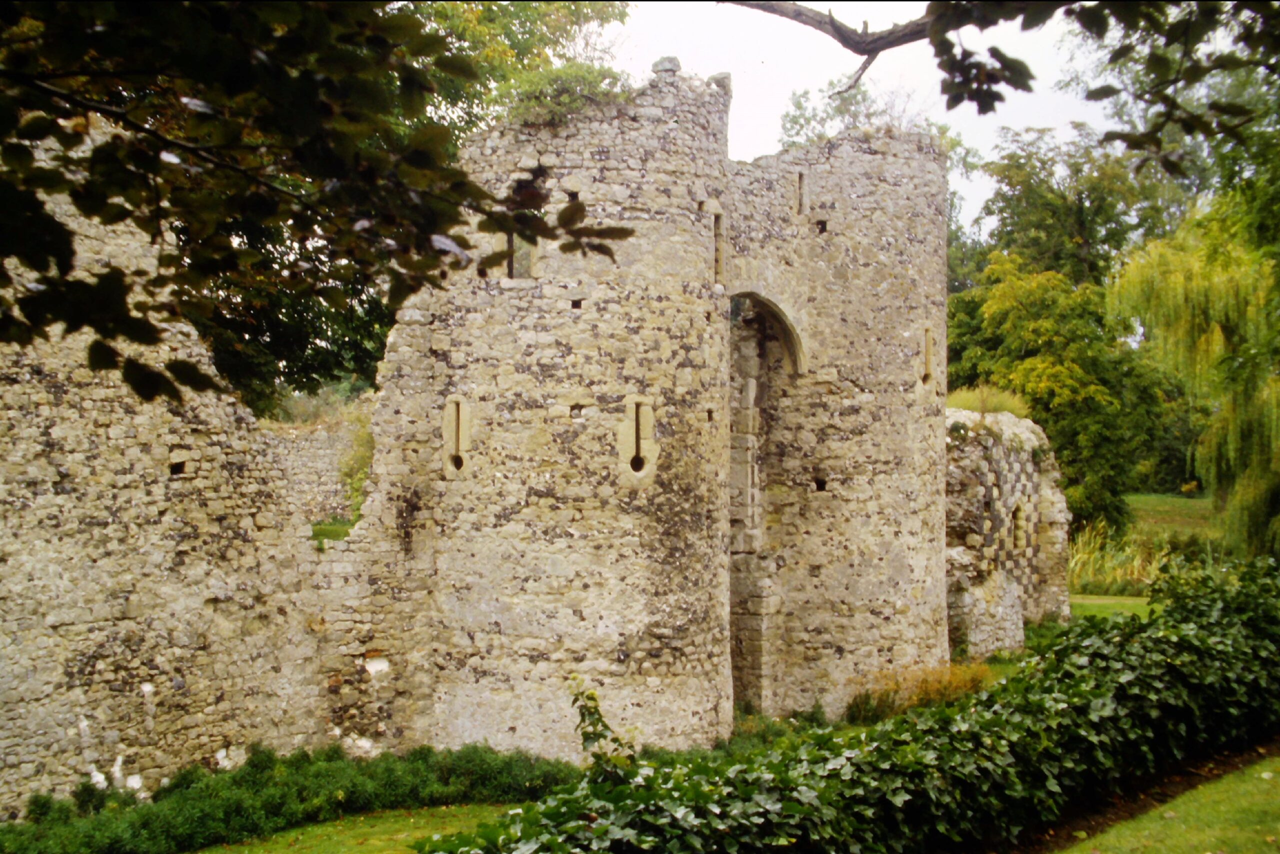
Vincennes is an immense royal castle (today at the eastern end of a Paris metro line) commissioned by King Charles V (1364-80) during the Hundred Years War [fig.1]. It is a superb statement of power and wealth reflected in its design and décor. But atop the multi-storey donjon is an unadorned floor whose walls are pierced by loops and windows for crossbows and small guns, and (for avoidance of doubt), the garrison included canoniers in 1379. Across the Channel at the same time, gun loops were being included in castles belonging to English aristocrats: in Kent, for example, a regular target for seaborne attacks, the archbishop’s castle at Saltwood and the parvenu Cobham’s enclosure at Cooling [fig. 2].
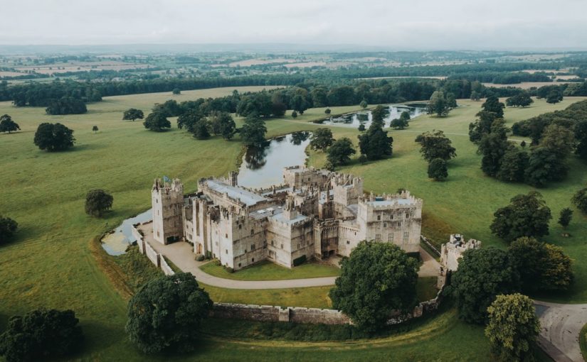
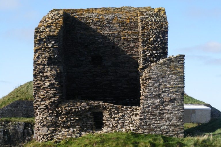
Jumping ahead by nearly a century brings us to a time where in England the role of castles during the Wars of the Roses was no longer to serve as the object of siege and defence. A not dissimilar political scenario existed in Iberia, where immensely wealthy noble families vied for control of the kingdom of Castile, and neighbours Portugal and Aragon frequently interfered. Just as elsewhere in Europe, these magnates built magnificent palaces reflecting their status. They also raised private armies to attack rivals. In the province of Madrid is Manzanares el Real [fig.3], built by the famous architect Gruas for the Mendozas, dukes of Infantado (who still own it) from the middle of the fifteenth century. Its walls and turrets sport spectacular ornamentation and the interior is graced by ornate galleries. It is surrounded by what the Spanish call a barrera, a towered lower outer wall liberally provided with gun embrasures. Gaining entry involves going through a pair of (gun-looped) gate towers then taking two turns around the foot of the inner wall.
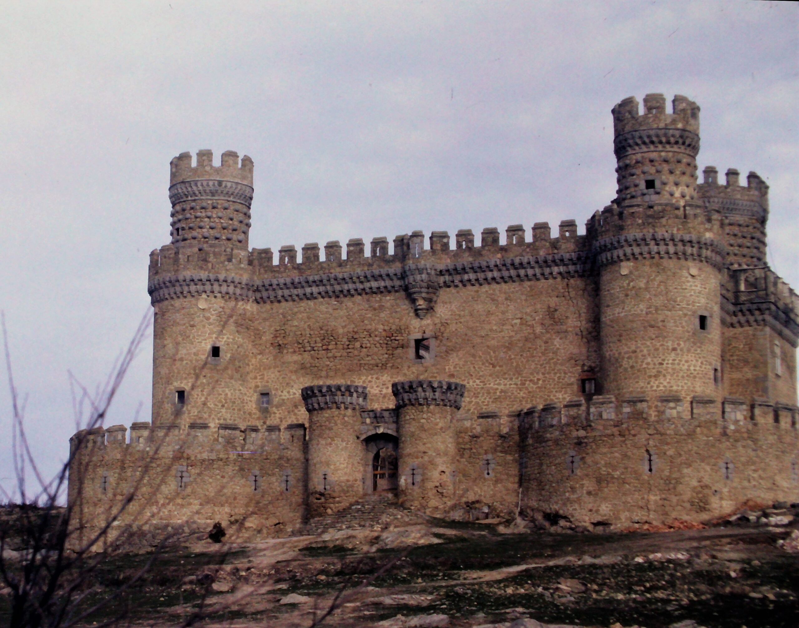
In the end, whether one believes that such defensive measures designed for guns were seriously intended for defence, or were themselves merely ornamental, is a matter of judgement. No evidence survives to explain the intentions of the builders. It is a continuation of the same debate that questioned whether arrow loops were meant to be – or could be – used, recast for the age of gunpowder.
There is an alternative approach: maybe such buildings could be both at the same time, and even the least practicable gun loops might deter raiders (compare Bodiam). In this scenario, there might be no distinction between a palace and a castle and a medieval noble might not understand the argument. Perhaps it was when the cost of defences that would be effective in the new world of the early modern state became prohibitive that aristocrats abandoned the military aspects of their castle-palaces altogether?