The role of siege warfare in halting the crusader advance: The challenge of the big cities

In his latest book, Crusader Storm, Dr Nic Morton takes a new look at the Crusades, as not as a single clash of faiths, but as a dynamic era of war, commerce, innovation and exchange. In this piece he looks at why the crusaders struggled to expand their territory after their initial success.

Viewed from a purely military perspective, the First Crusade was a wildly over-ambitious undertaking.  When Pope Urban II launched the campaign in 1095, he set participants the challenge of marching for hundreds of miles through friendly, then hostile territory, during which they would need to confront and defeat a whole series of enemy armies before taking and holding the city of Jerusalem.
Crusader Storm book cover

Subscribe to our quarterly newsletter

The chances of surviving the venture were extremely low and the early waves of crusaders all met with defeat very quickly, but the final wave achieved its objective and – as is well known – brutally conquered Jerusalem in 1099.  In later years, the crusaders (or “Franks” as they came to be known) expanded their territories, working outwards from the cities they acquired or conquered during the crusade: Edessa, Antioch and Jerusalem.  Bolstered by tens of thousands of pilgrims, mercenaries and settlers from Western Christendom, these territories, known collectively as the Crusader States, continued to expand for two decades, pushing their frontiers outwards seizing many towns and castles. 

So what stopped them?  Why didn’t they continue to expand until the entire region lay under their dominion? This blog post will explore this question by focusing on one very serious obstacle to their continued expansion – the major cities of Damascus, Aleppo and Cairo.
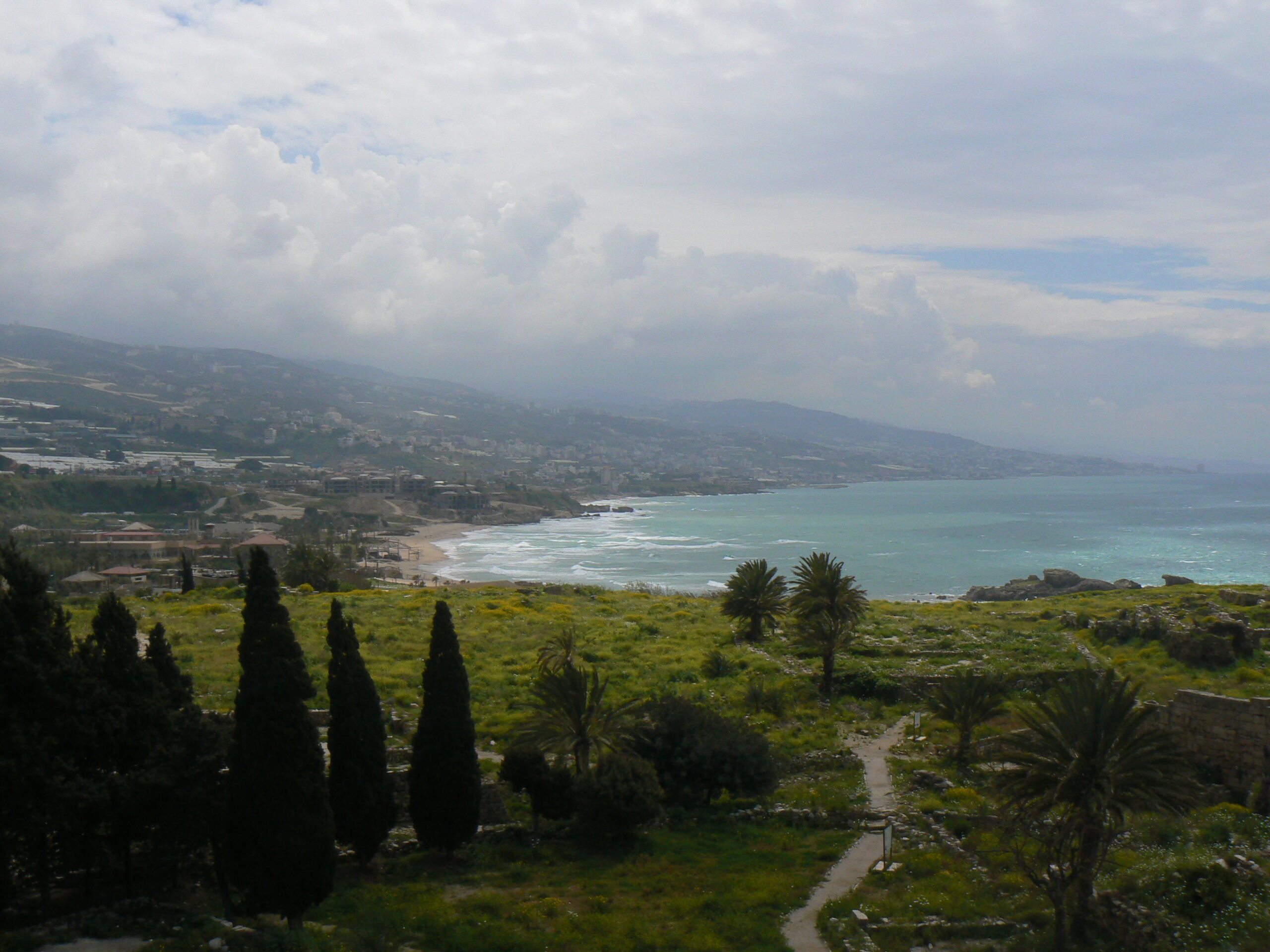
The Lebanese coast, copyright Dr Nic Morton

Spool forward to the early 1120s and the Crusader States had grown considerably.  In the south, the kingdom of Jerusalem (the largest Crusader State) controlled much of the Levantine coastline from Beirut in the north, down to Jaffa in the south, extending inland beyond the Jordan river.  In the north, the principality of Antioch, county of Tripoli, and county of Edessa were also major powers, despite a serious defeat suffered by Antioch in 1119.  Most of the coastline, complete with its major commercial ports, lay under their control and increasingly they turned their attention inland. 

Subscribe to our quarterly newsletter

This is where they faced the biggest obstacles to their continued expansion.  Frankish armies couldn’t seize Syria in its entirety without tackling the fortress cities of Damascus or Aleppo, and they couldn’t expand into Egypt without conquering Cairo.  Over the next five decades the Franks made serious attempts to seize each of these cities: Aleppo in 1124-5, Damascus in 1129 and 1148, and Cairo in 1168, but they failed each time.  What I’m describing here is their high-water mark, the culmination point – the line beyond which they proved unable to expand. 

So why were they so consistently unsuccessful?  Why couldn’t they capture these cities?  When historians discuss the conquest of major castles or cities, they typically talk about these strongholds’ fortifications and the siege weapons used to tackle them.  But with big cities, there is another point to consider – the urban populations themselves.  These were all very large cities, home to tens of thousands of people – in Cairo’s case possibly hundreds of thousands – far bigger than anything they had tackled so far.  There was every danger that a besieging army would fight its way across the ramparts only to be cut to pieces by the population as the attacking Franks became split up within a maze of narrow streets and alleyways.  This was a serious concern.  Notably when the Turkish ruler Zangi besieged Damascus in 1139, insiders offered to open one of the gates for him, but he still refused to order the attack; seemingly he knew very well that the population would resist his attempts to take control and they – not the fortifications – were the major obstacle.
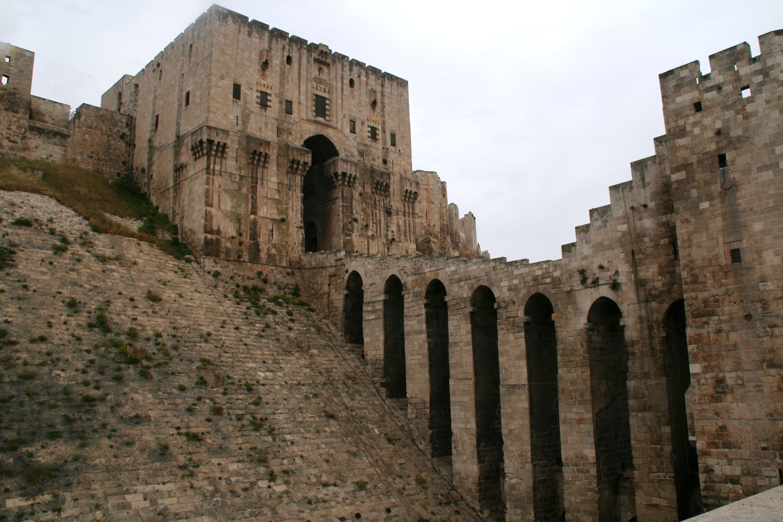
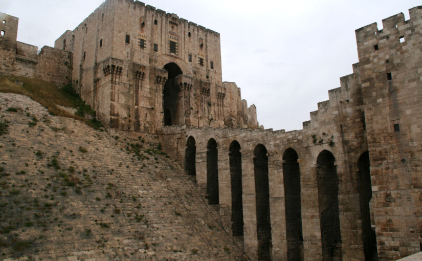
Citadel of Aleppo, rebuilt in the early thirteenth century, copyright Dr Nic Morton

In this way, the conquest of these cities – and therefore the continued expansion of the Crusader States – hinged on the Franks’ ability to persuade urban populations either to endorse, or at least to tolerate, the idea of Frankish rule.  For cities of this size, simple military overthrow wasn’t sufficient to guarantee their control in the long run.  Some Frankish commanders recognised this reality and, when King Baldwin II of Jerusalem besieged Aleppo in 1124-5 he worked with an Arab ruler named Dubays who he planned to install as a client ruler in the event of the city’s fall.  Unfortunately for them, Aleppo’s population didn’t favour the idea of Dubays as their new client ruler and they resisted their besiegers vigorously (and successfully).  Likewise, in 1129 Baldwin II tried to conquer Damascus with assistance from the city’s Nizari community (commonly known today as the “Assassins”), but the city’s governor massacred the Nizaris before the Frankish army could arrive. The Franks were less effective at winning the population’s support in their later endeavours but in every case, the broad consensus among the general population remained a vital consideration. 

In this way, a decisive factor for the Crusader States in the continued efforts to expand – and a central reason for their failure in these endeavours – were their unsuccessful efforts to gain control over these major cities. Their failure, by extension, enabled resistance to gather in these cities and, in later decades, these regional capitals acted as marshalling points for the Crusader States’ overthrow.
Subscribe to our quarterly newsletter

The Fourth Crusade: new evidence challenges long-held opinions

The final results are in and Dr Andrew Blackler, project lead for the Dating of the Towers of Chalkida, Greece, reveals the surprising findings of the project we funded in 2022 to try and date the hundreds of towers in the region.

In the autumn of 1204 forces of the Fourth Crusade, fresh from their capture of Constantinople, annexed central Greece. Studies have been undertaken of the major fortifications they constructed, but little is known about the hundreds of towers, which are today a ubiquitous reminder to the modern tourist of the medieval period in the region.

Subscribe to our quarterly newsletter

The traditional interpretation is that they were built by the incoming westerners- the minor nobility – as part of a process of colonisation, to display and impose their power over the local Greek population. Yet, since no scientific study has ever been undertaken, we could not even be sure when they were built, and therefore why they were constructed or by whom – until now.

Figure 1: Map of Central Greece with Survey area on the island of Evia (Euboea)
 and the towers sampled (inset)

Following a two-year research program, funded by the Castle Studies Trust and led by Andrew Blackler, a member of the five-year ‘Hinterland of Medieval Chalkida’ survey, surviving towers in central Greece have now been dated using modern laboratory techniques. In October 2022 a team, including technical staff from the Institute of Nanoscience and Nanotechnology ‘Demokritos’ in Athens and from the Ephorate of Antiquities in Chalkida, took samples of wood and mortar from seven surviving towers on the island of Evia (Euboea). This is the second largest in Greece and runs two hundred kilometres down its eastern seaboard. The island, just seventy kilometres north of Athens, is separated from the mainland by a narrow strait only thirty-nine metres wide, the tidal flows of which even Aristotle failed to solve! Chalkida, its capital, became the Venetian administrative centre (as Negroponte) of its Aegean possessions in 1390 and, following its capture by the Ottomans in 1470, their capital of Central Greece for 350 years until the formation of the modern Greek state.

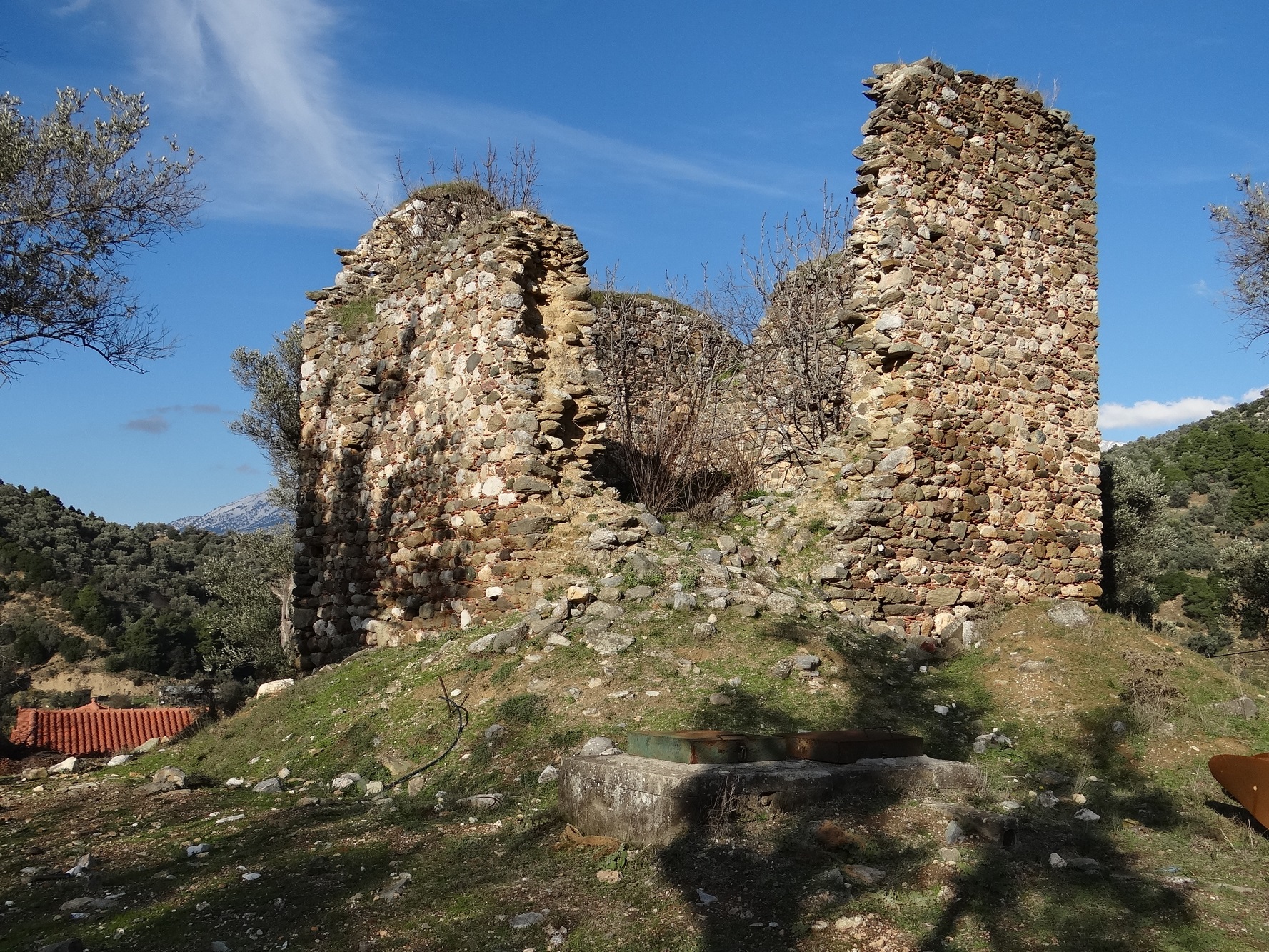
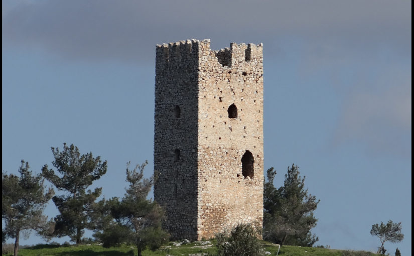
Figure 2. The ruins of a typical tower (Mistros)image description

All of the towers (walls about 8 x 8 metres and height up to 18 metres) were in an advanced stage of collapse. Samples were taken of the wood inserted to provide internal lateral structural integrity to their walls, and of the mortar used to bind their rough stonework. This ensured that these materials were not part of a more recent repair or renovation, which would have been the case for beams used to support the multiple floors of the towers, but part of the original construction phase. The ten timber samples obtained were then subjected to a process of radiocarbon (14C) dating, whilst the mortar was analysed using optical and scanning electron microscopy (SEM) and other techniques (pXRF and XRD) at the Demokritos laboratory.

Subscribe to our quarterly newsletter

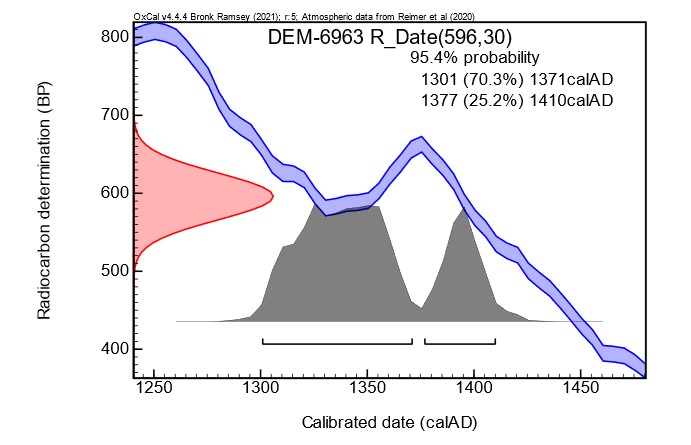
The results have been exceptional. Six towers from different topographic locations (coastal, floodplain, mountain areas) have been dated with 95% certainty to a period between 1270 and 1434. Unfortunately, the accuracy for most samples was only approximately +/- fifty years due to fluctuations in the cosmic concentration of 14C in the earth’s atmosphere caused by solar activity during the fourteenth century: there were therefore two possible dating ranges identified. Two samples were of sufficient quality that, using what is known as ‘wiggle’ analysis, more accurate dating was obtained.

Figure 3. An example of one sample showing the wiggle in the calibration curve, that causes widening of the calibrated ages and splitting of the ranges.

The analysis of the mortar samples also demonstrated that two towers had two phases of construction. It is difficult to know whether this was a deliberate action or simply a reconstruction due to the collapse of the upper levels, given that the region is subject to frequent seismic activity. More importantly, since we could not identify any timber samples for one tower, it was possible to show that the chemical composition of this tower’s mortar was similar to two other towers in its immediate vicinity and thus was possibly also constructed in the fourteenth century.

The general conclusion, therefore, is that all the towers studied were probably built at least a century, or five generations, after the annexation of the region by western forces, and no towers were built immediately after the Crusaders took control. The ’colonial’ interpretation of their role is thus overturned or, at the least, requires reconsideration. Rather, their construction appears to have been a reaction by landowners to increasing instability in the region following invasion of the island by Byzantine forces in the 1270’s, the threat of attack by the mercenary Catalan Company who took control of Thebes and Athens in 1311, and a growing fear of seaborne assault by Turkish corsairs in the fourteenth century.

Subscribe to our quarterly newsletter

An eclectic crop of fascinating applications asking for over £70,000 for the Castle Studies Trust to consider

The deadline for grant applications passed on 1 December. We’re going through the various projects now. Altogether the 10 projects, coming from England, Scotland and one from Turkey, are asking for over £70,000. They cover not only a wide period of history but also a broad range of topics.

We will not be able to fund as many of these projects as we would like. To help us fund as many of these projects as possible please donate here:

https://donate.kindlink.com/castle-studies-trust/2245.

In a little more detail here are the applications we’ve received:

3D Non-Destructive Chemical X-ray Imaging of Clay and Salts in Stone, Mortars, and Masonry: This ground breaking project aims to non-destructively map the distribution of clays and salts due to their significant roles in historical construction and preservation challenges. Clays and salts are commonly found in construction materials like stone and mortar, integral to understanding the original building processes of castles. The project will examine a number English Heritage sites including, Dover, Richmond and Conisbrough. It aims to contributes to the conservation of historic structures and enhance the broader understanding of historical architecture and its preservation.

Great Torrington, Devon: To provide interpretation boards for this early Norman earthwork castle using the results of the excavations being carried out at the site in late 2023.

Hereford Castle: To co-fund Friends of Castle Green to work with local community, historical societies, artists, creatives and technology providers, our goal is to uncover the hidden history behind (and underneath!) Castle Green and its environs through semi-traditional interpretation boards and interactive smartphone technology.

Higham Ferrers, Northants: To provide a geophysical survey of this now completely destroyed (by Henry VIII) former Duchy of Lancaster castle. The castle has extensive accounts dating from the thirteenth to fifteenth centuries but nobody knows what it looked like. The survey would be the first step to being able to do that.

Kozkalesi, Turkey: To fund a season of field work of this 12th-13th century castle south-east of Antioch (Hatay) primarily focused on surveying the site and the surrounding area. Kozkalesi was an important Crusader site since it belonged to the Antiochene patriarchate throughout the 12th and 13th centuries and it’s a rare example of such a castle.

Leybourne, Kent: Architectural survey of the gatehouse which is of great importance to the understanding of gatehouse development, both nationally and, perhaps, internationally. It is often cited in studies of gatehouse development, but is far from fully-understood: its date and affinities are open to question, while there has been no up-to-date survey or recording.

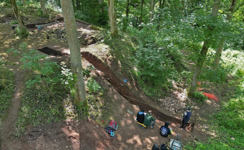
Lowther Castle, Cumbria: Following on from last year’s excavations funded by the Trust, to see if this earthwork castle and village was an example of early Norman colonisation in the late eleventh century. In the second season, the aim would be to carry out excavations to see if there was a ditch and gatehouse and look for finds within the interior.

Newhouse, Lincolnshire: Excavation of possible ‘Anarchy’ period castle located near an abbey founded at a similar time. The aim is to try and find some dating evidence for the site to see if it was one of the many unrecorded ‘Anarchy’ castles

Penrith, Cumbria: Reconstruction of Penrith Castle as it would have been in the fifteenth century placing the viewer within the castle courtyard and replicating a human perspective. The castle was first built and then modified throughout the century, including by Richard Duke of Gloucester (Richard III) and part of the work behind the reconstruction will involve a full review of the architectural evidence.

Tinnis, Peebleshire: To produce three reconstruction drawings of this Scottish Borders castle through its three periods of occupation: Iron Age; Early Medieval Fort; Castle.

We will not be able to fund as many of these projects as we would like. To help us fund as many of these projects as possible please donate here: https://donate.kindlink.com/castle-studies-trust/2245

The applications have been sent to our assessors who will review them. You can see how the assessment process works from our blog back in January 2016: https://castlestudiestrust.org/blog/2016/01/17/how-the-castle-studies-trust-selects-its-projects/

Castle Studies Trust Summer Quiz: Name that Castle

With most of us either staying at home or at best having a “staycation” not many of us will have the chance to see castles outside the UK so to whet the appetite for when we can travel again can you name these castles all of which are outside the UK and Ireland?

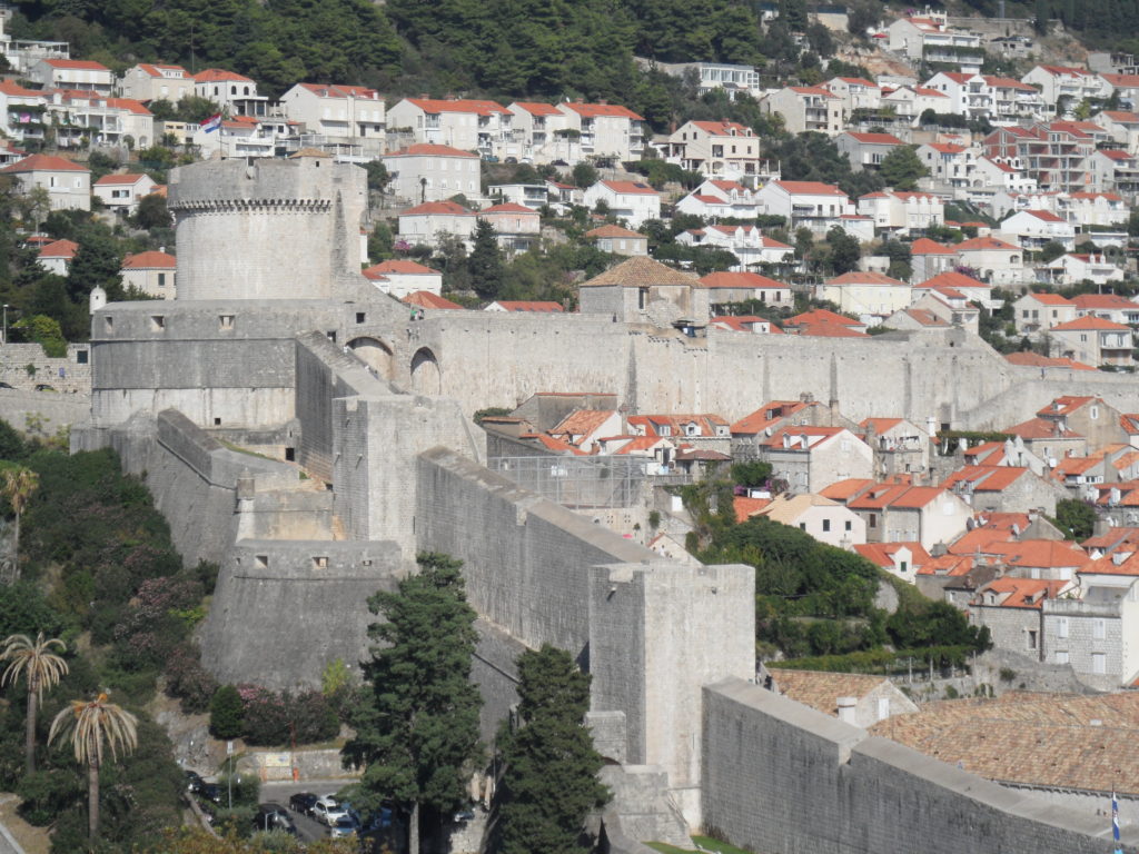
  1. Where are these city walls?

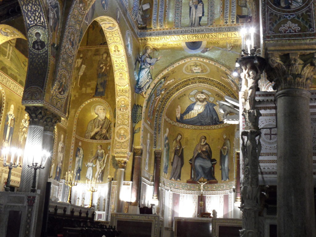
2. Where is this royal chapel?

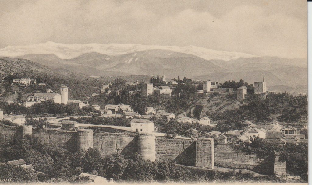
3. Which royal palace is this an old image of?

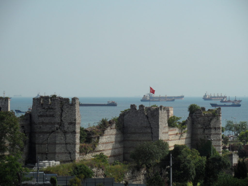
4. Where is this part of city wall?

5. Where is this rock cut castle?

6. In which walled town is this castle?

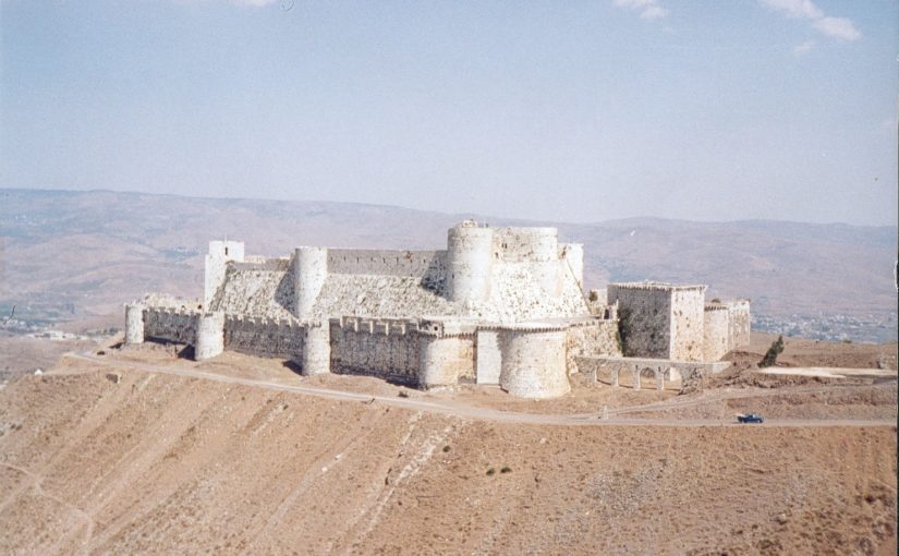
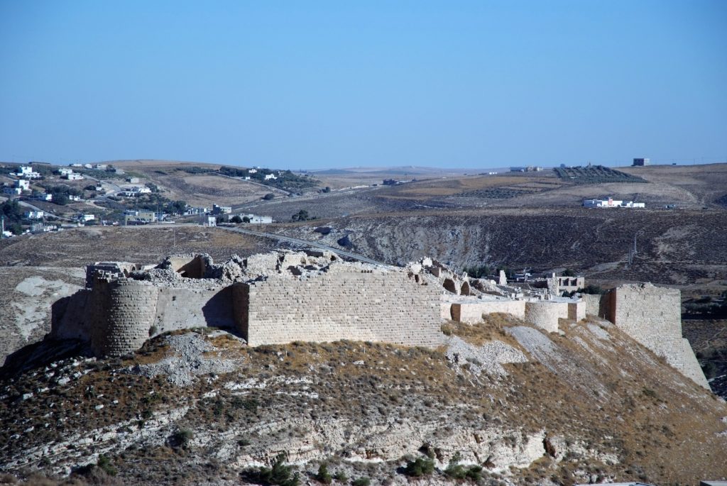
7. Which Crusader castle is this?

8. Where is this castle?

9. The entrance to which castle is this?

10. Where in Italy can you find this great tower?

Subscribe to our quarterly newsletter

11. Where is this magnificent brick keep?

12. Where can you find this castle?

13. Which Crusader castle is this?

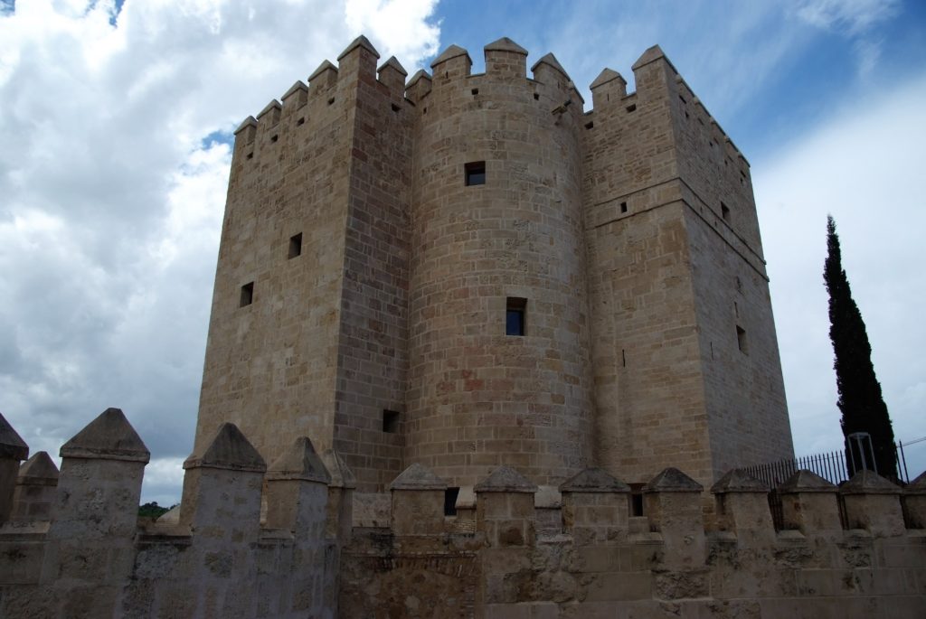
14. And this great tower is where?

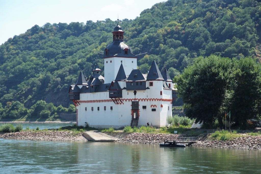
15. Where is the picturesque castle?

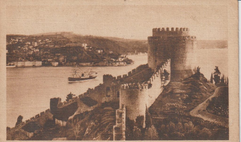
16. This is an old photograph of which castle?

17. Where is this cliff top fortress?

18. This Crusader castle isn’t so easy to visit at the moment. Where is it?

19. The outer gate to which Muslim fortress is this?

20. Finally where in Eastern Europe can you find this castle?

Subscribe to our quarterly newsletter