From 20 April to 29 April, a community excavation took place at Knepp Castle involving local history and archaeology groups. Richard Nevell looks back on the dig.
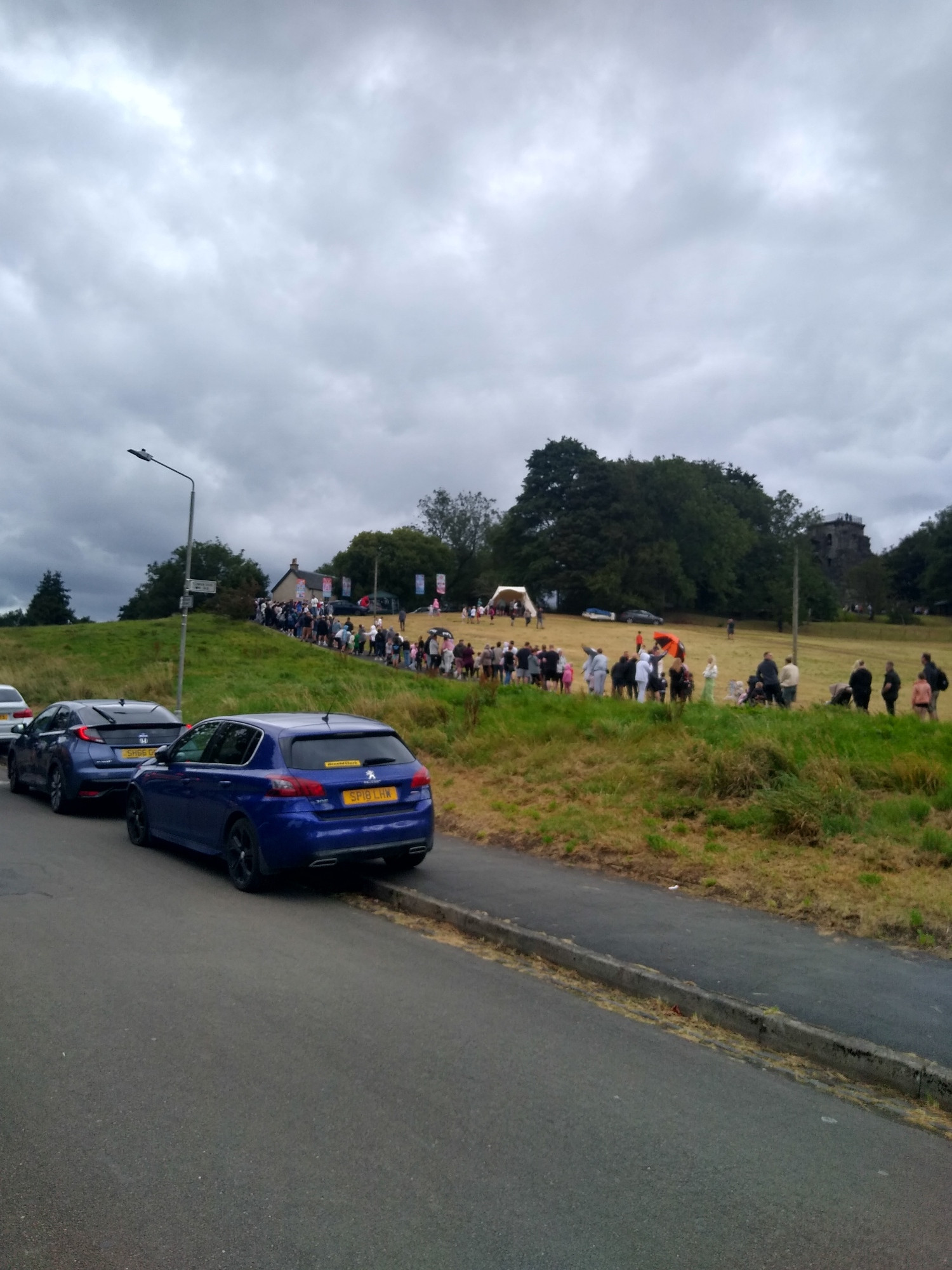
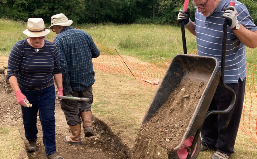
I woke up early on Monday 20 April to travel to Knepp Castle, navigating my way before rush hour began. I arrived on site just past 9am and suddenly it was happening. This was the first day of excavations at Knepp Castle, and with a weather forecast suggesting we would get the full use of the planned ten days of digging. More than 50 people volunteered to participate in the dig, joining from Shipley History Society, Horsham District Archaeology Group, and Worthing Archaeological Society as well as volunteers from the Knepp Estate – all under the expert supervision of Chris Butler Archaeological Services (CBAS).
Subscribe to our quarterly newsletter
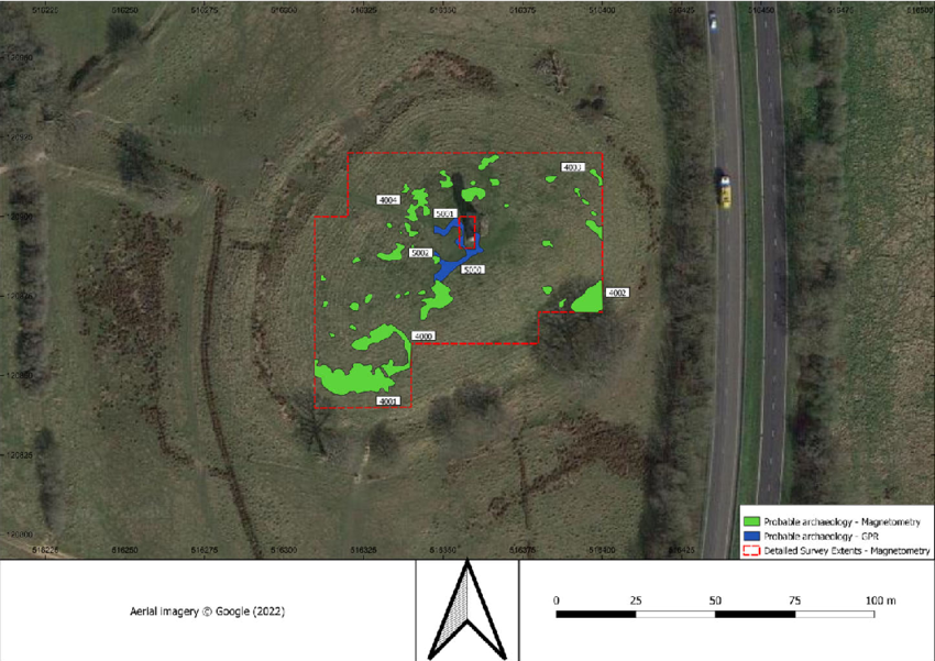
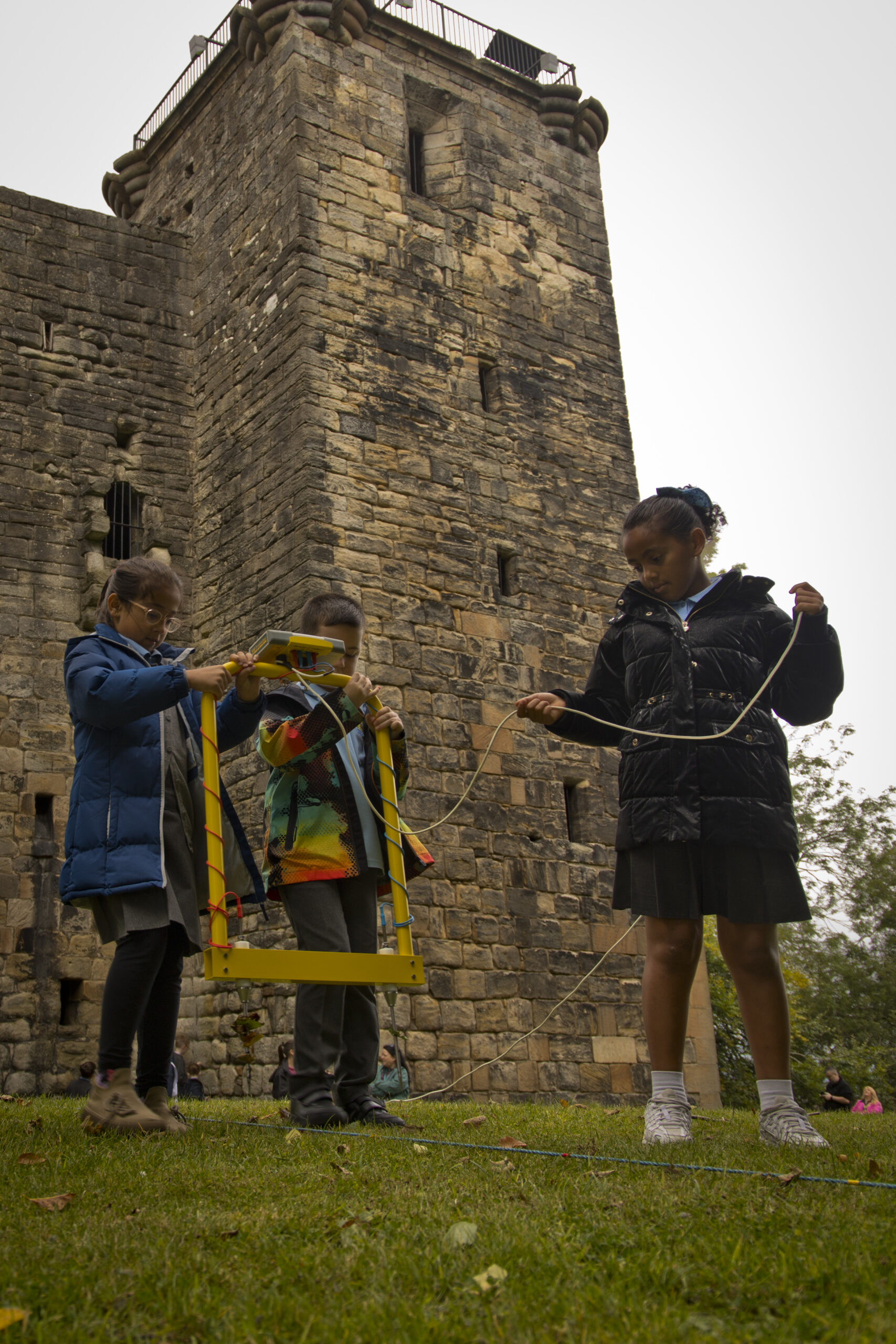
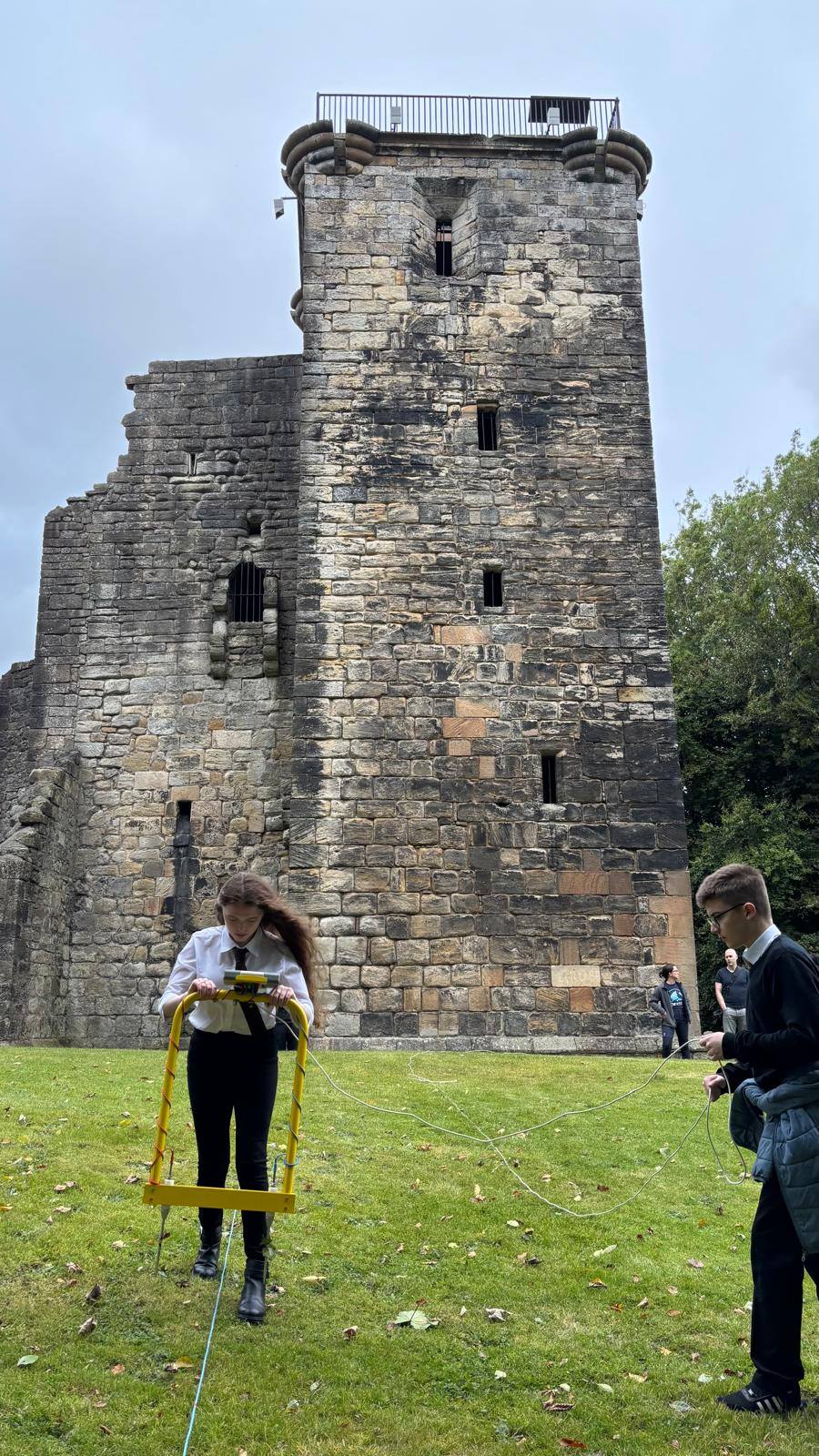
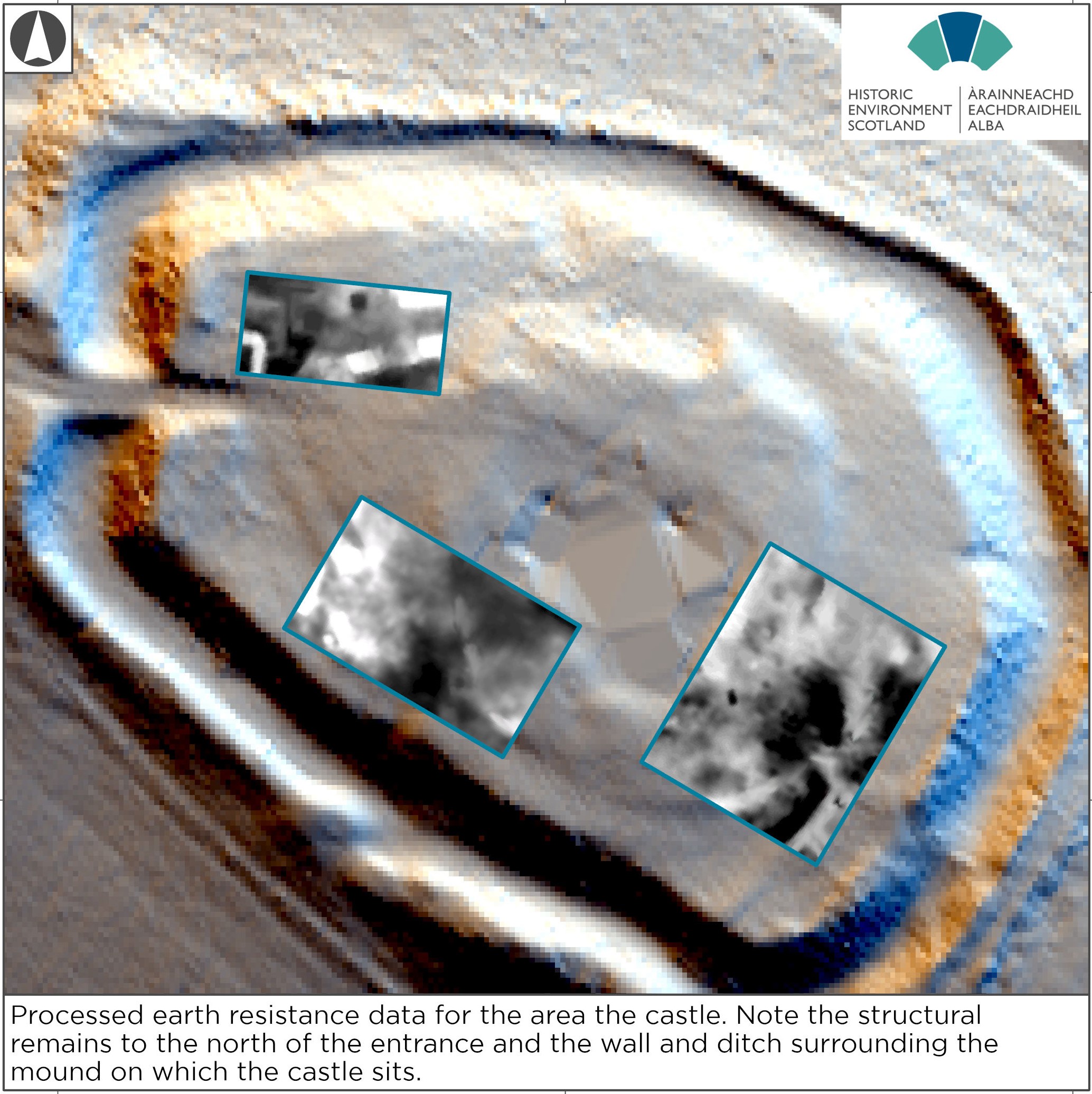
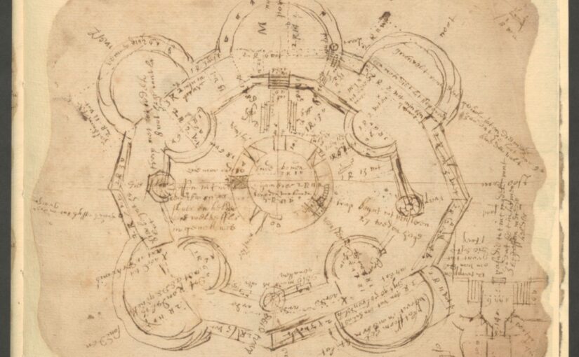
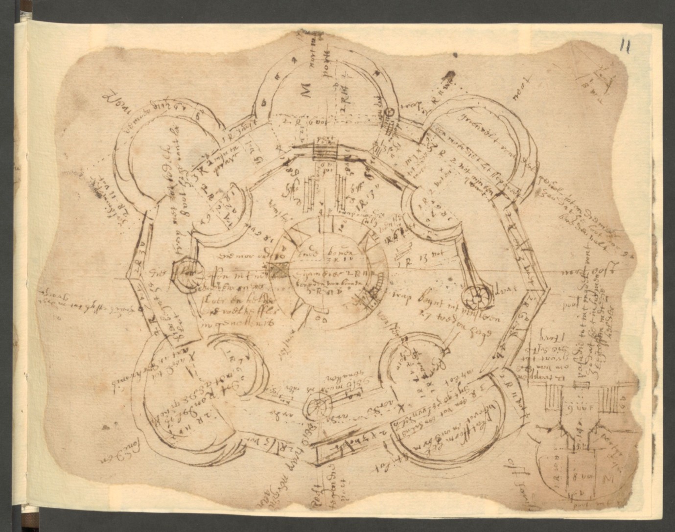
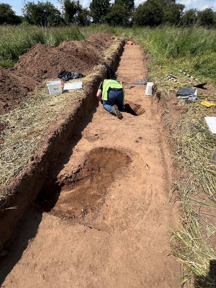
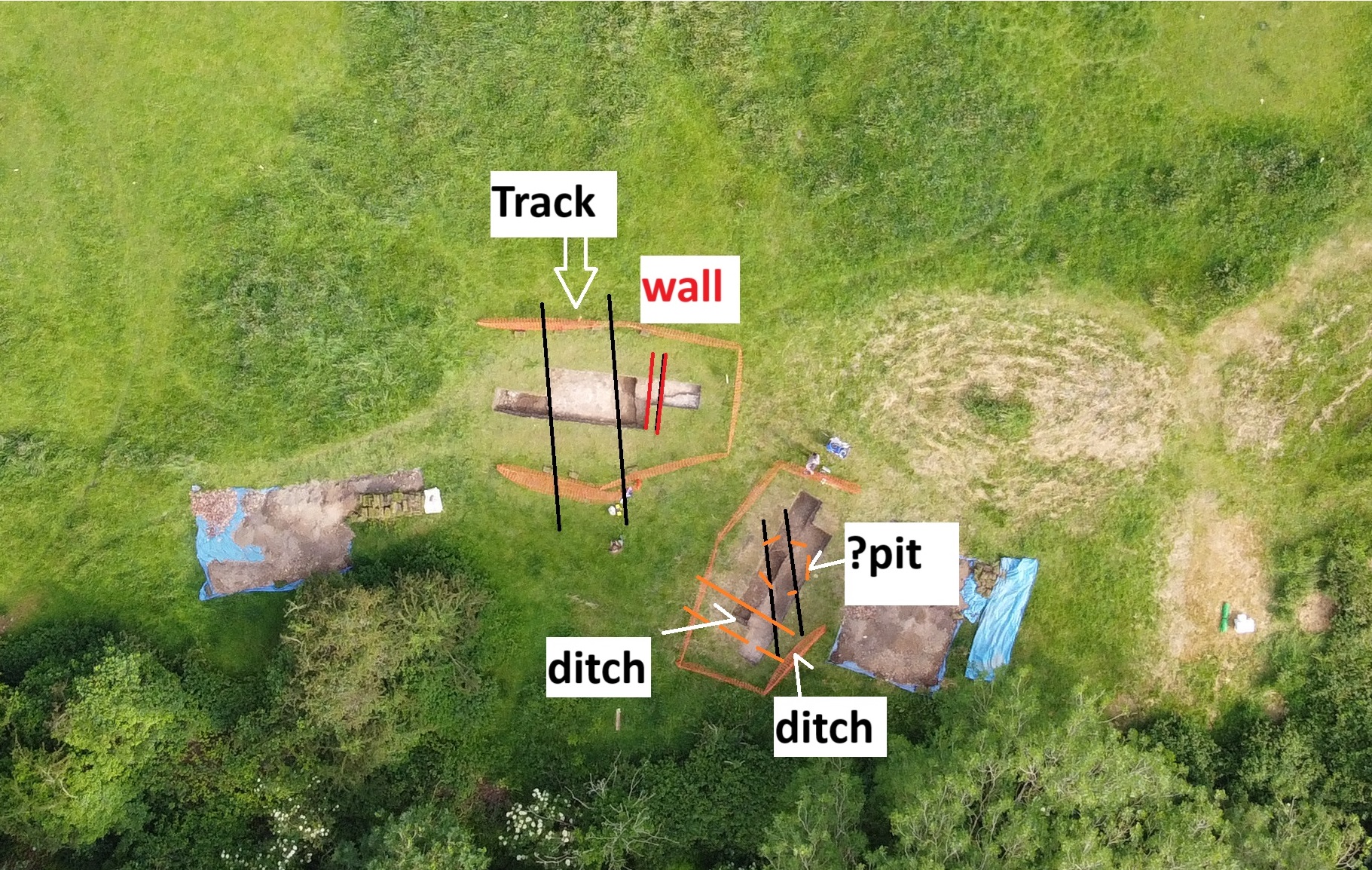
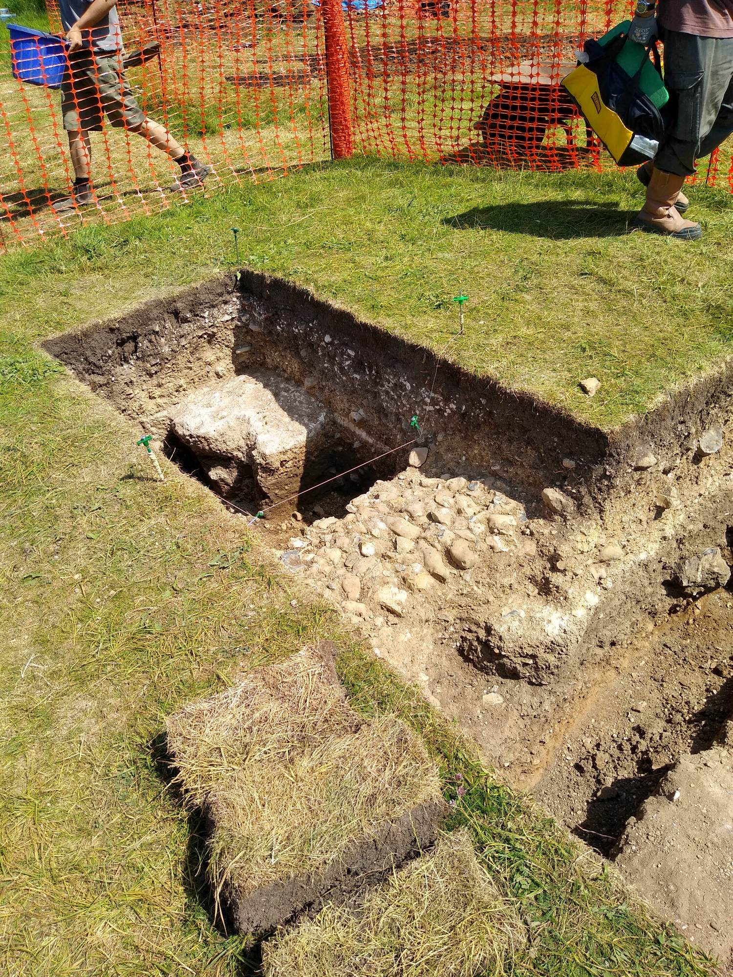
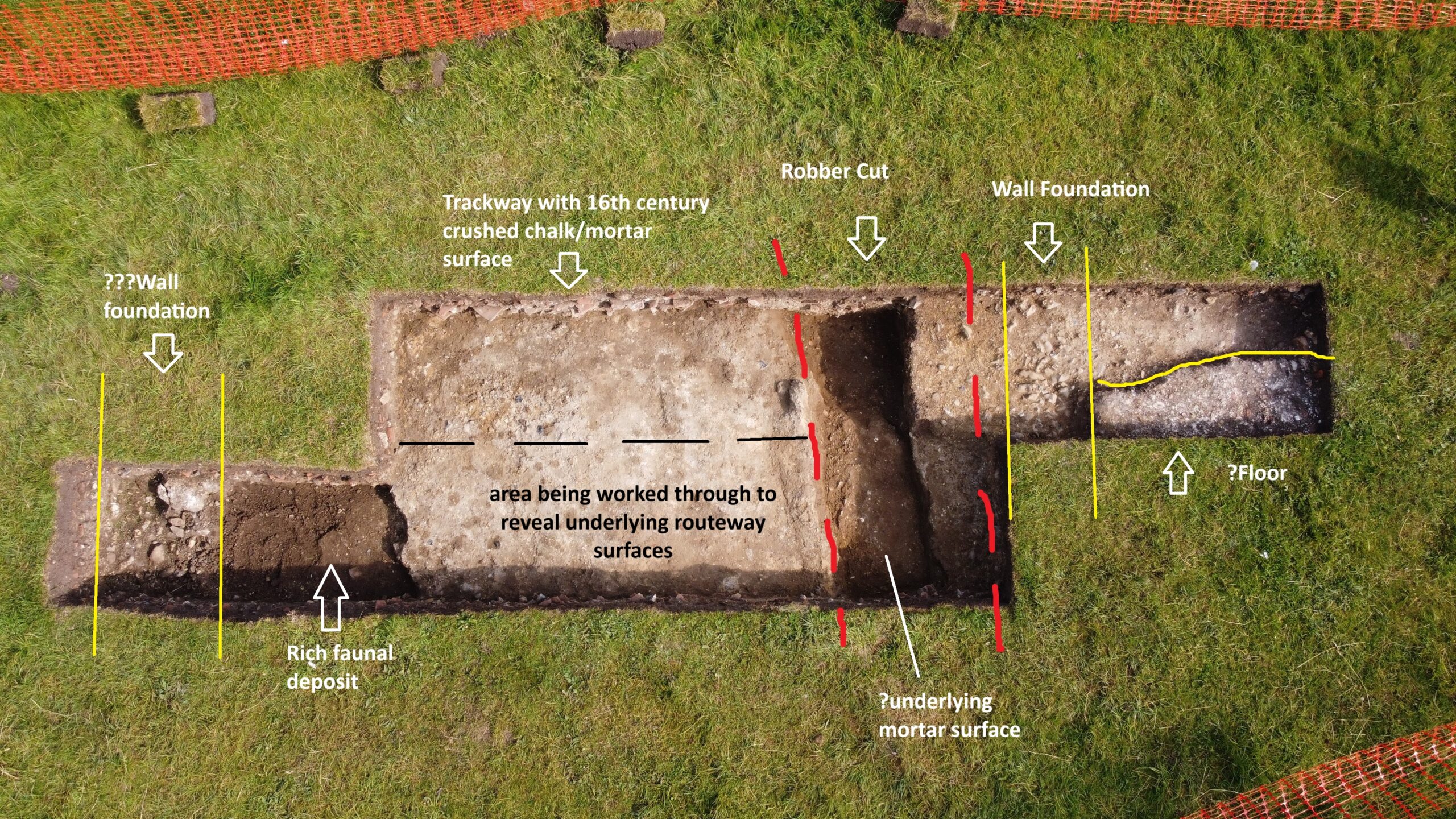
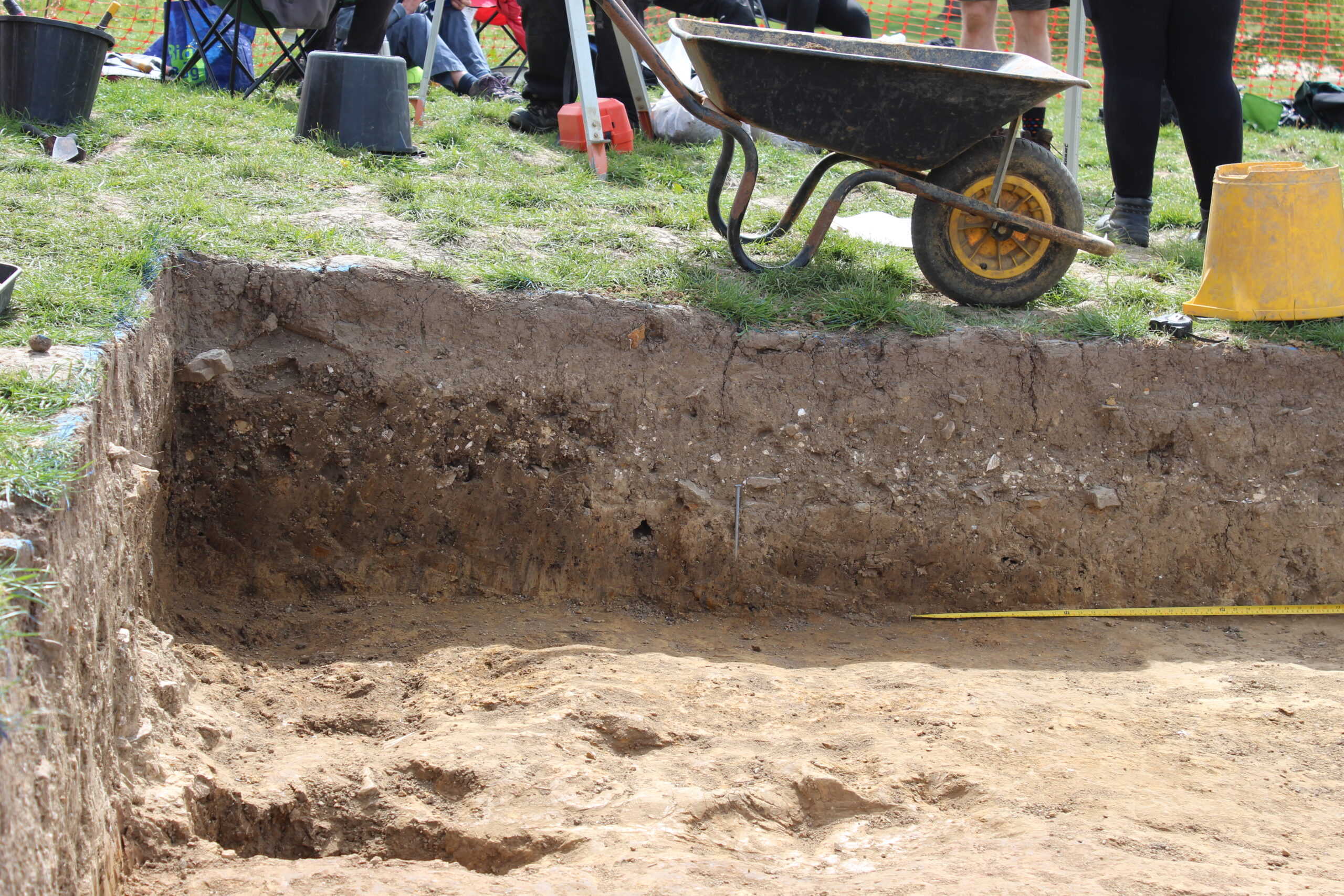
The focus of the ten-day stint was a 5m by 4m trench immediately west of the lone standing wall at the castle. There are a lot of assumptions about Knepp Castle and this was an opportunity to put them to the test, and to investigate an anomaly from the 2022 geophysical survey. The alignment was suggestive, but until we got down to the level of the anomaly what it represented was speculative.
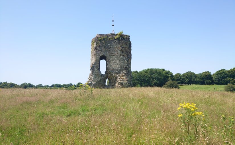
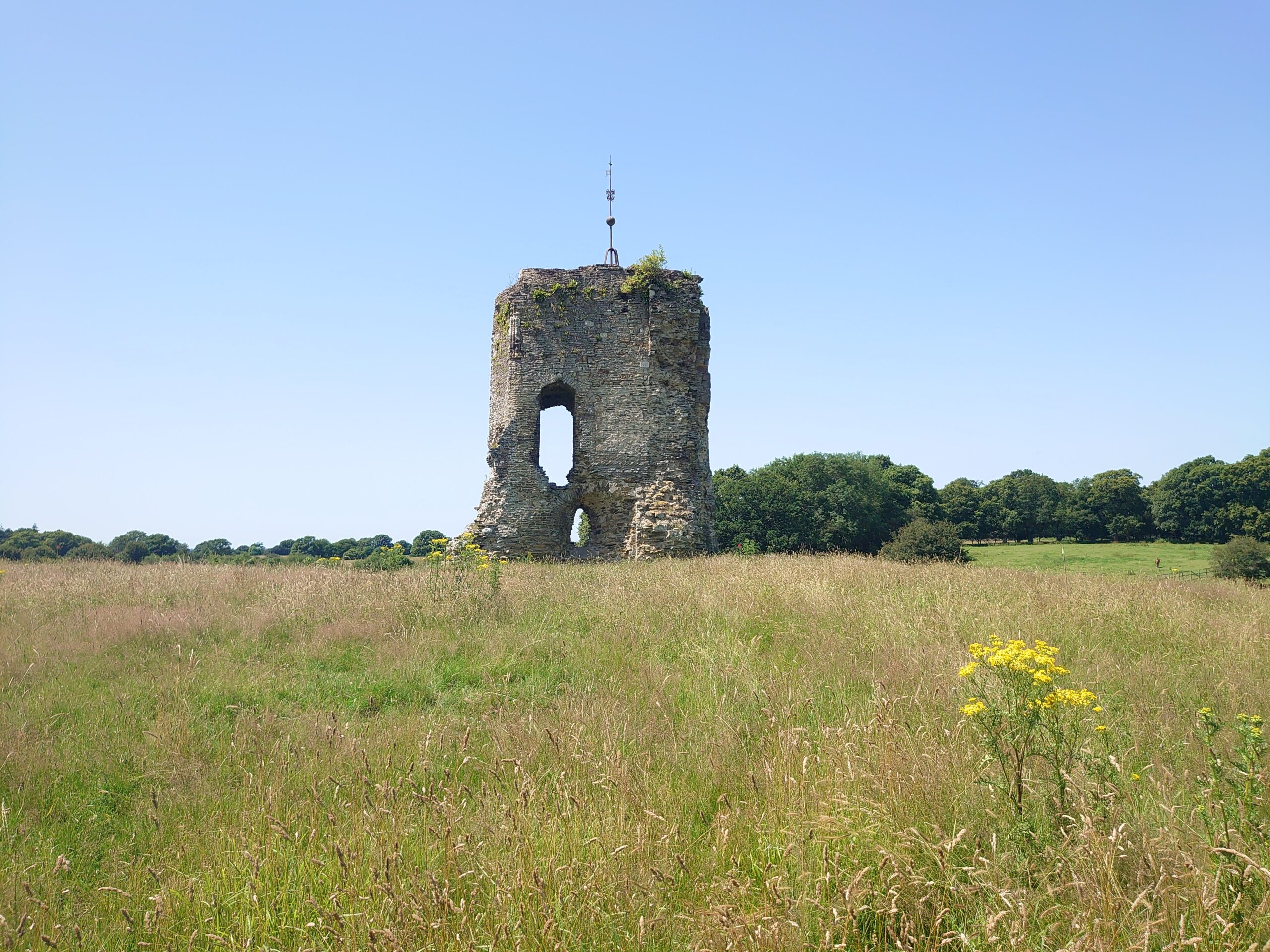
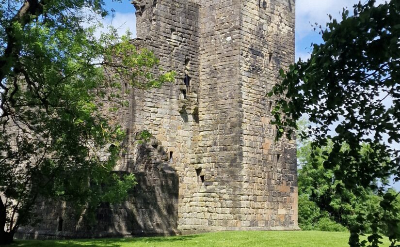
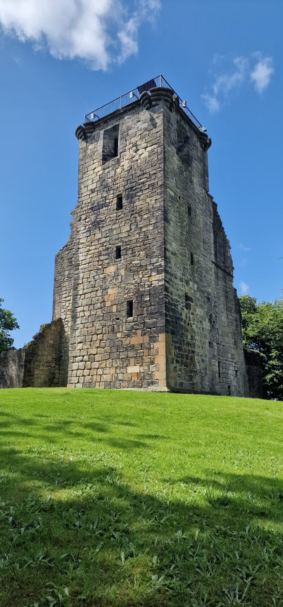
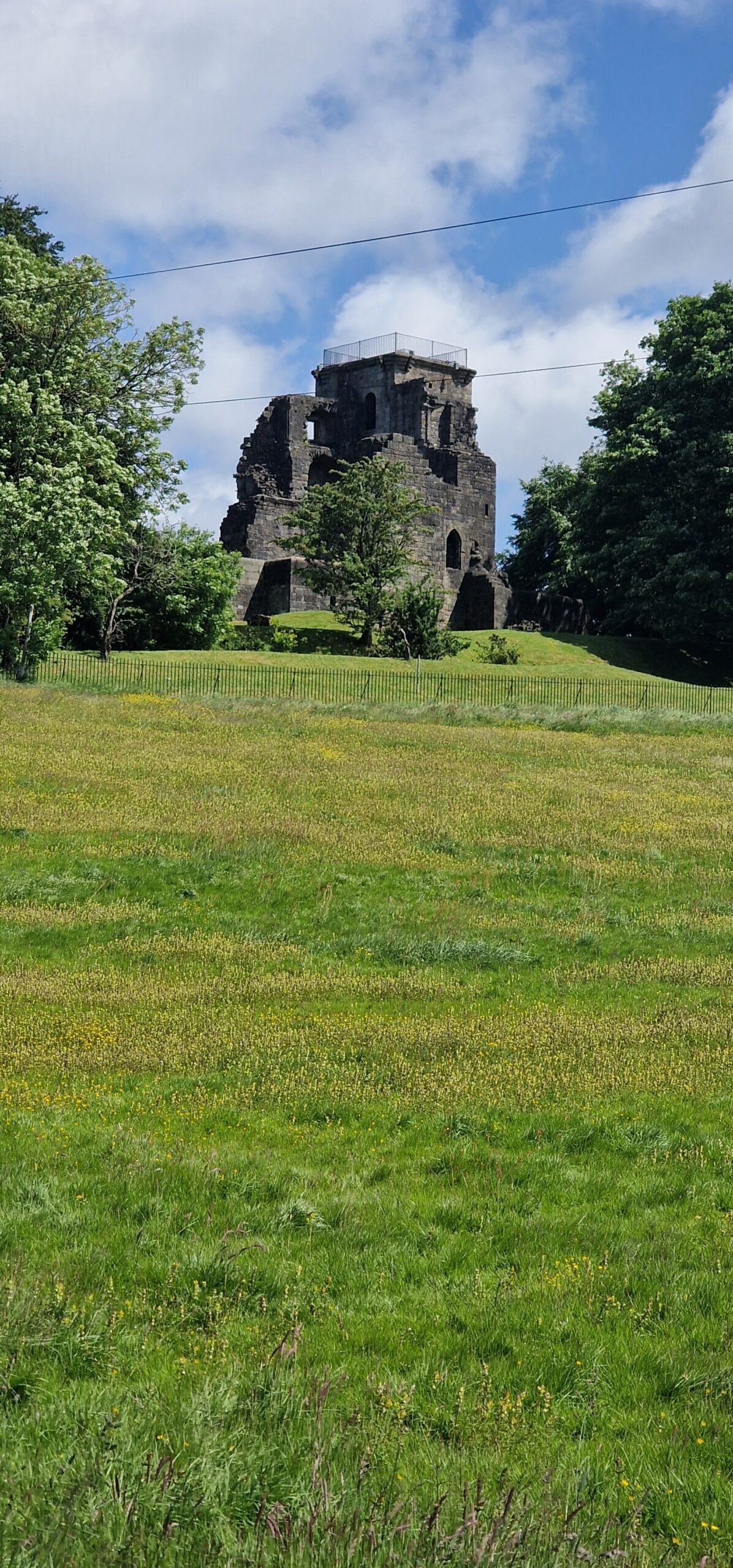
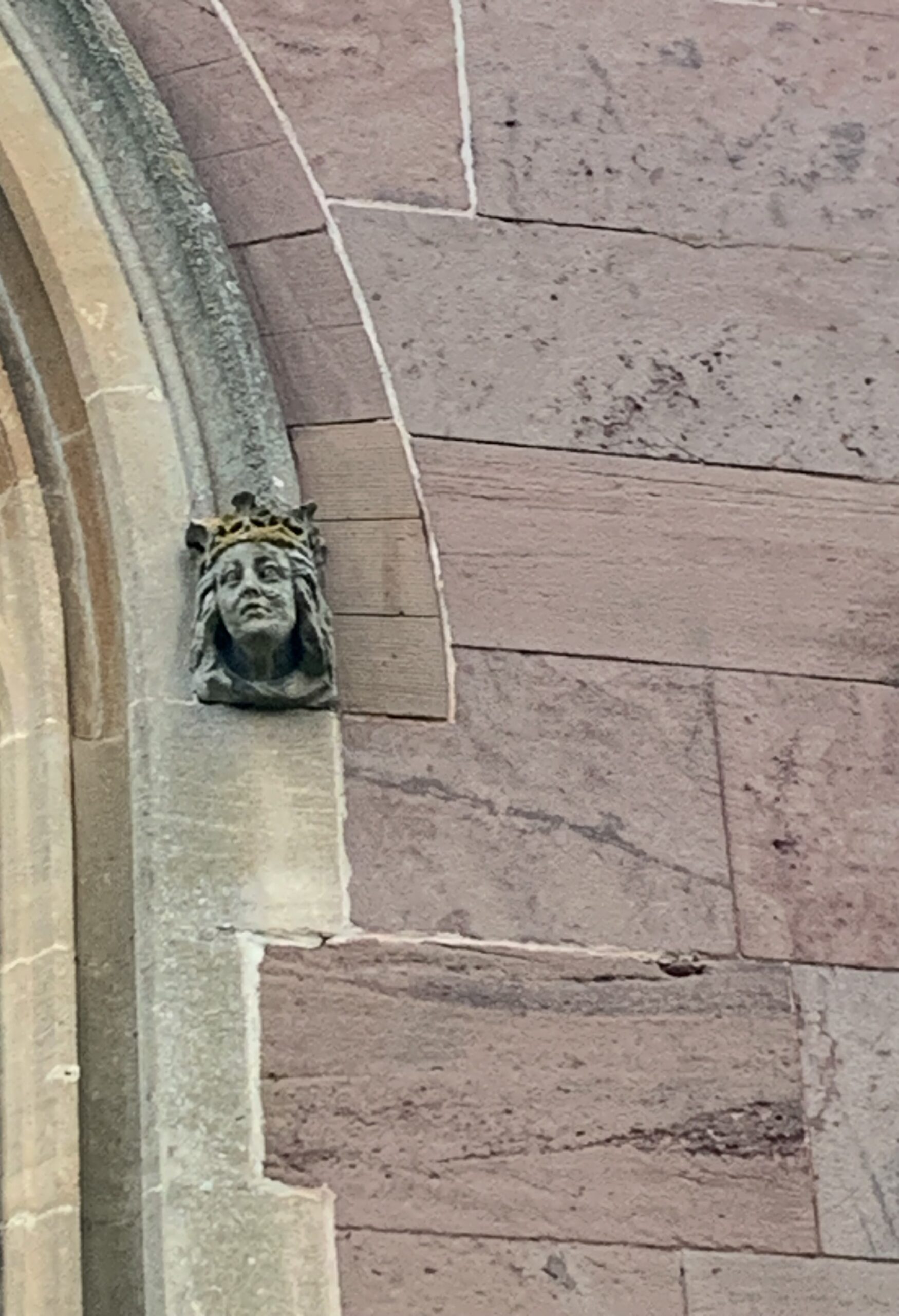
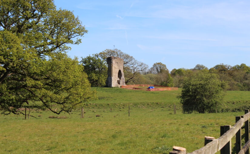
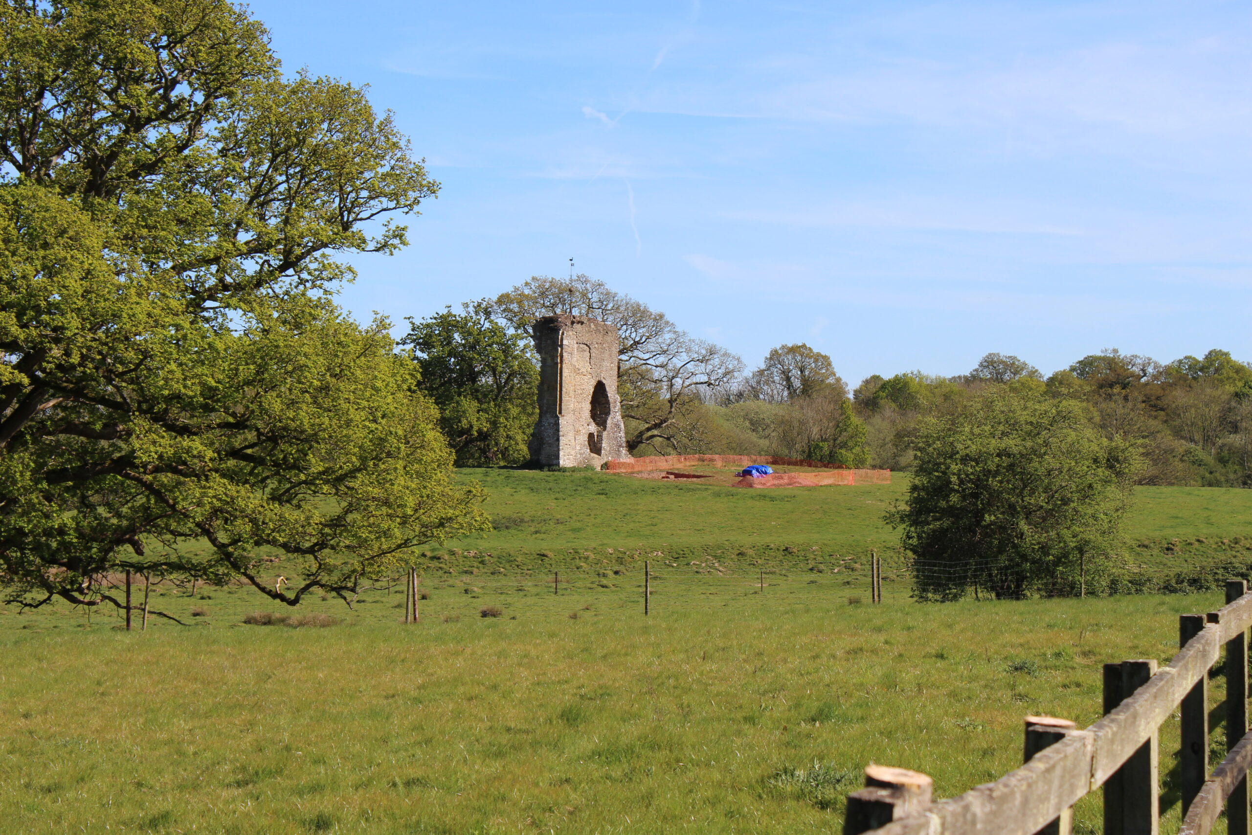
In a broad sweep, Knepp Castle was first explicitly documented in 1210 but is likely older. It hosted several kings of England; featured in King John’s war with the barons; and was dismantled in the post-medieval period. The ruined wall stands tall in the landscape on its mound.
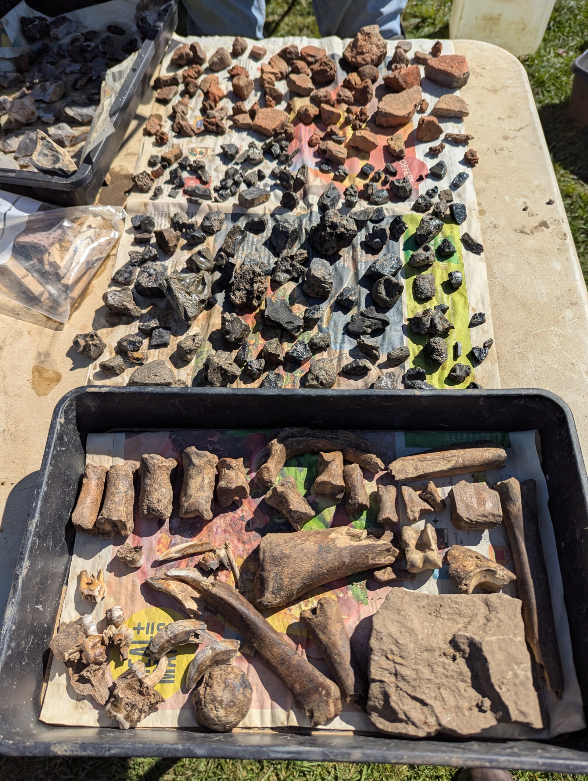
The first step was to remove the top soil. In an incredible feat for English weather, we not only had ten dry and (mostly) sunny days to dig but the weather in the lead-in to the dig has been mostly dry. Most of the time, rain slows things down but a sprinkling on the first day to soften the ground might have helped. That first day was the most physical, with volunteers wielding mattocks to remove the baked dry top layer of the ground. Already, artefacts started emerging – distinctly modern with some glass that might have come from beer bottles and a substantial metal piece of farming equipment which made a very effective paperweight when the weather got blustery.
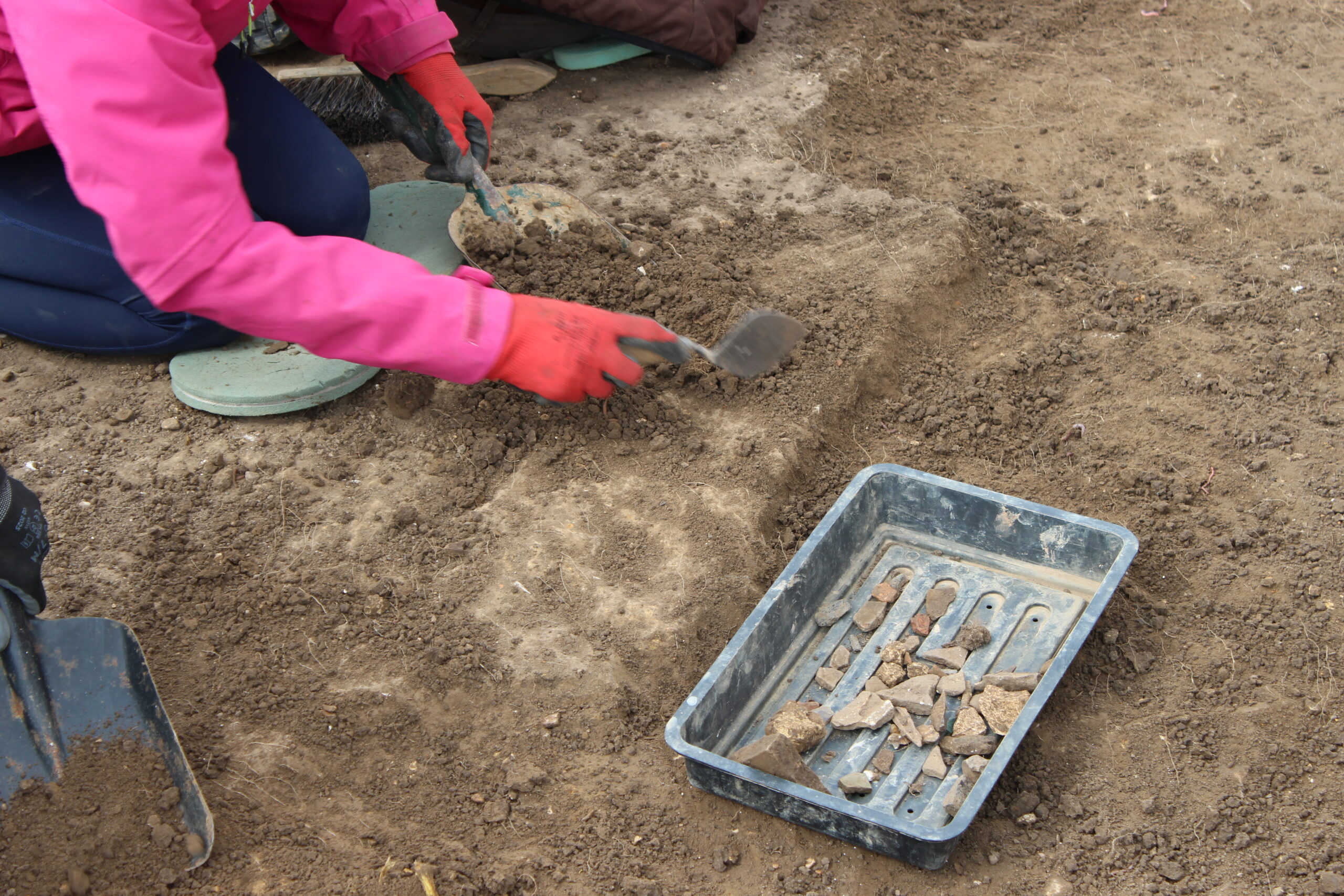
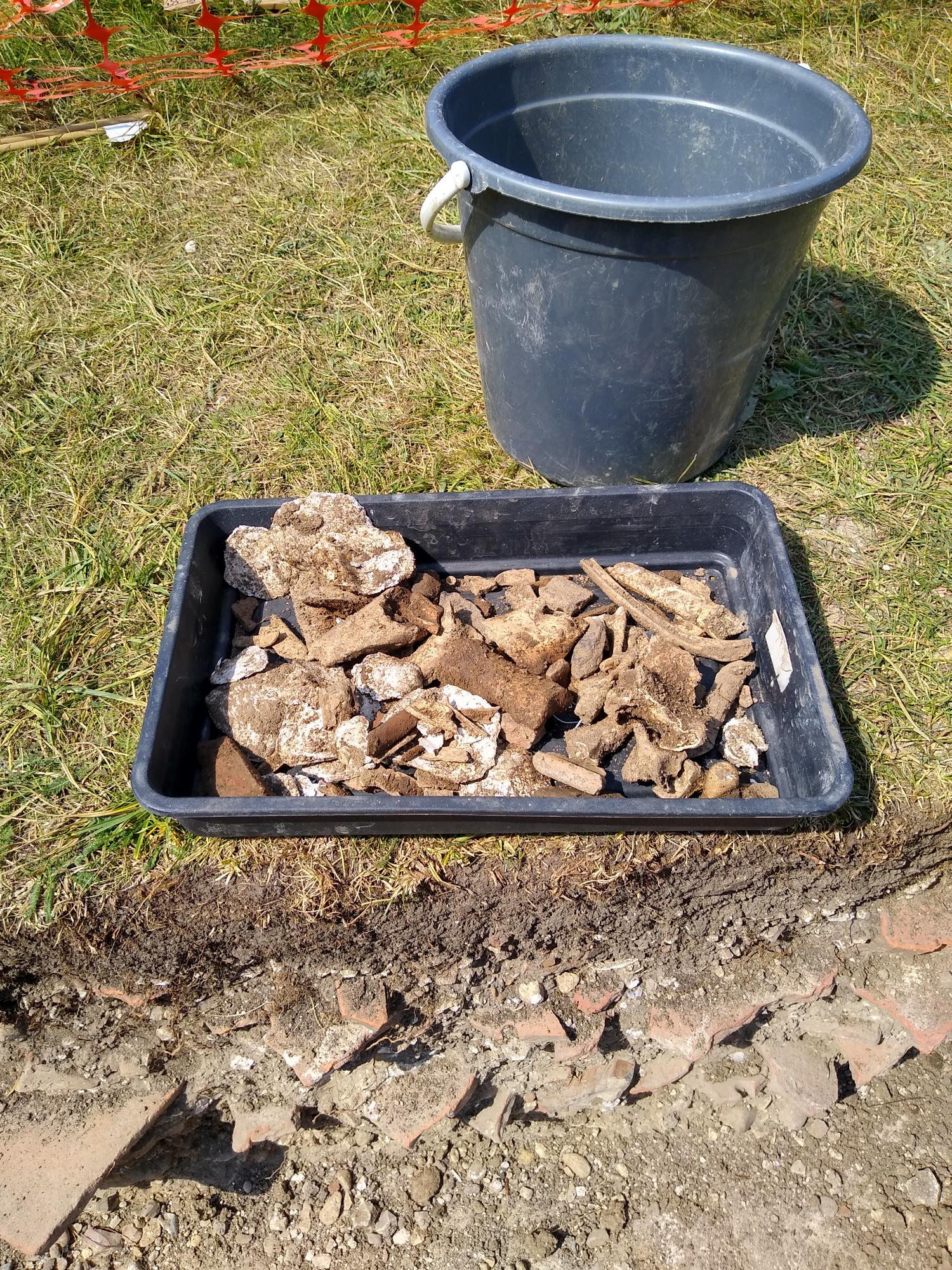
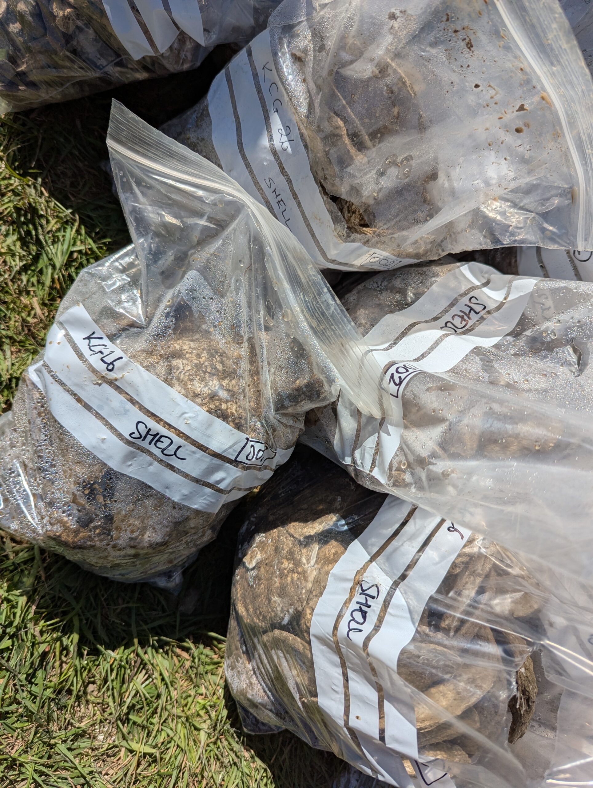
As we worked our way through the subsoil, along with more animal bones and pottery we started to encounter a lot of oyster shells, mortar, and pieces of sandstone. The interpretation of these finds is pending, but oysters would have been a readily accessible food source.
It is possible that the mortar and sandstone are left over from when the castle was dismantled, possibly in the 18th century. While I’m most interested in the castle’s medieval history, one of my favourite finds was a small fragment of teacup handle. That small piece of ceramic hints at people coming to the castle for a day out, and when the sun shone it was easy to see why. And though I’m no pottery expert, it was instantly recognisable.
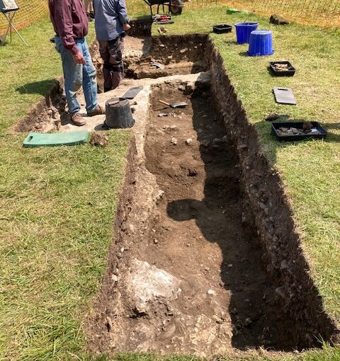
Over the course of the next week and a half, volunteers progressed deeper, uncovering more evidence of human activity at Knepp. The medieval pottery coming through and butchered animal bones were evidence of high-status feasting. Nails and stone may have been remnants of buildings at the castle that no longer stand.
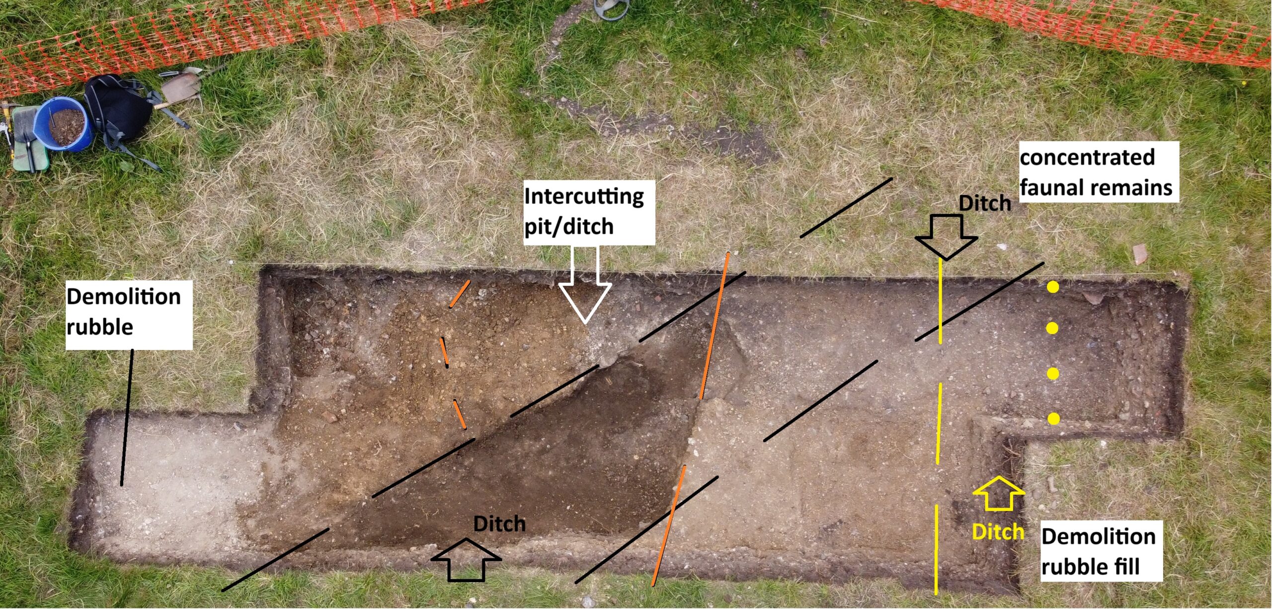
An area of burning mixed with slag suggests that some metal objects were created on-site. What we found was the waste from the process rather than the production site itself, but it would likely have been nearby. A volunteer asked me if this had been picked up by the geophysical survey. The magnetometry survey used in 2021 is typically good at picking up metalwork and evidence of burning, but we were digging in an area where there was too much interference from the lightning rod attached to the standing ruin to be able to pick out any detail from that survey.
As digging progressed there were regular questions about what depth we expected to find the anomaly at, and how far there was to go. When we got to the right depth we were faced with a bit of a puzzle. There was a change in soil discernable, and it looked like the anomaly may have been redeposited ‘natural’ – natural is the level at which there is no more human activity.
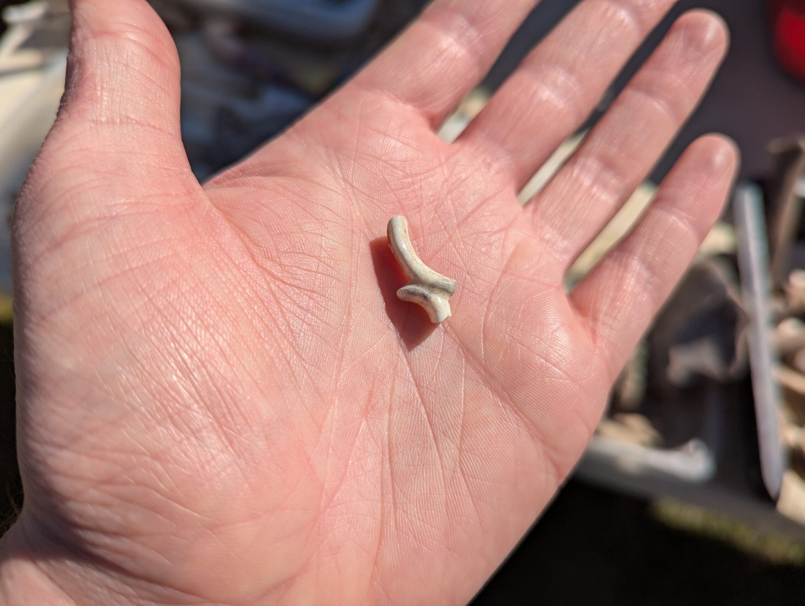
So what is the anomaly? The hypothesis that it might have been the wall of a building seems much less likely now. That is part of the process of putting theories to the test. At the same time, the process of excavating the castle has provided a lot of information about how it was used. Beyond the medieval period there were some prehistoric finds, pushing the history of human activity on the mound further back than anticipated. There was even a flint arrowhead, which I’ve been told is likely to date from the Early Bronze Age. The mound was a prominent feature in the landscape, and as such seems to have been a natural gathering point for people for millennia.
With the trench backfilled, the finds have been sent to the CBAS office for processing. Specialists are involved in evaluating the materials and refining preliminary interpretations. Once complete, the report will be available on the Castle Studies Trust website. In the meantime, if you’d like to relive the dig as it happened, I recorded some video updates from Knepp.