The team at Raby Castle were delighted to hear that their application to the Castle Studies Trust for funding to support the creation of a digital model of the 14th century Nevill stronghold. The acual survey to create the model will not take place until May, but preparation is well underway including extensive documentary research by volunteeers. Their curator, Julie Biddlecombe-Brown who will oversee the project during 2022 reflects here on what the project will entail and what they hope to achieve.
Subscribe to our quarterly newsletter
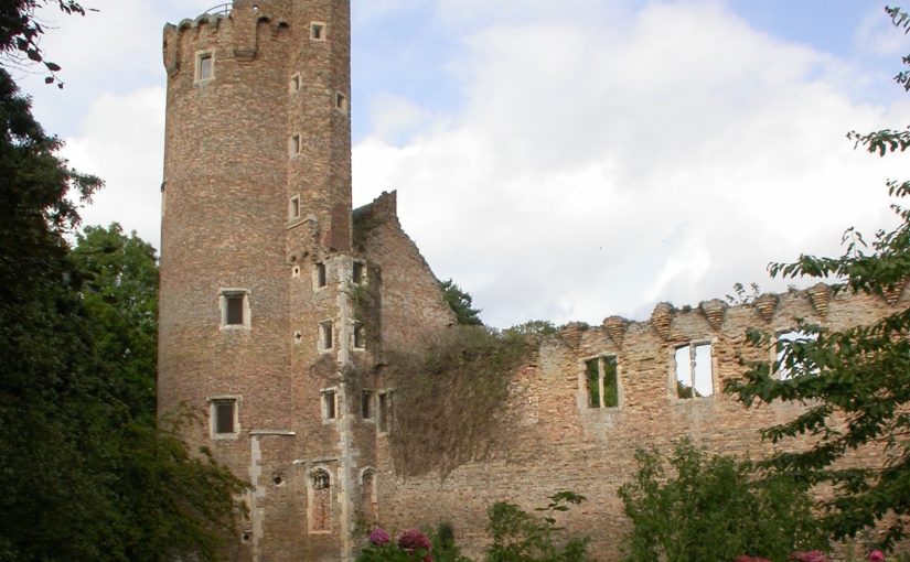
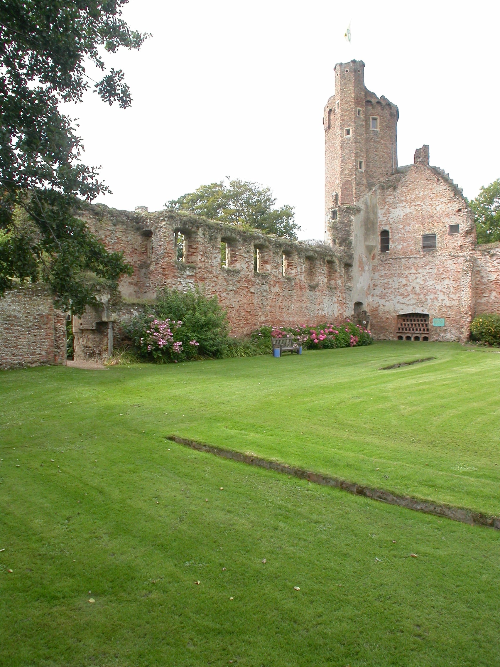
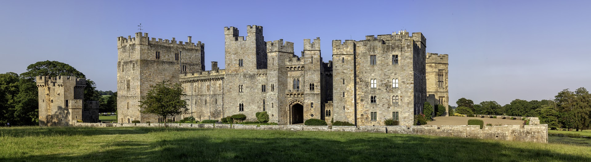
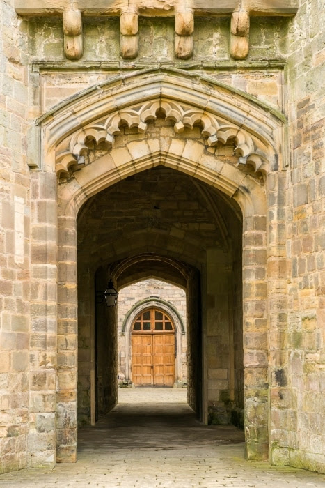
Raby Castle is one of the most impressive intact castles in the North of England. Built in the 14th century by the powerful Nevill family, it has a fascinating history. The castle was seized by the Crown in 1569 after the failed ‘Rising of the North’. In 1626 the castle was purchased by courtier Henry Vane the Elder and has remained in the family ever since. Over the last 300 years, successive generations have altered, updated and modernised parts of the building and although from the exterior, the 14th-century core is still evident, internal reworkings of the spaces mean that it is sometimes difficult to imagine and interpret the castle’s medieval past.
In 2016, the castle was inherited by Harry Vane, Twelfth Baron Barnard. Under his stewardship, ambitious development plans were passed to enhance the visitor journey at Raby Castle, Park and Gardens. The dynamic scheme known as The Rising will restore and preserve historic buildings which have been without purpose for decades, providing contemporary event and exhibition spaces, retail and dining experiences and a visitor’s hub. The transformation of the visitor offer at the castle, park and gardens include improved interpretation of the castle building. An important part of this for the Raby team is increasing our understanding of how the castle functioned during it medieval heyday. In 1378 Bishop Hatfield granted John Nevill a licence to crenellate reflecting a building that was changing from a fortified manor house to the castle we see today. Less than 50 years later, John’s son Ralph arranged the betrothal of his daughter Cecily to his young ward, Richard Duke of York; a marriage that would play a central role in the Wars of the Roses and ultimately in shaping British history.

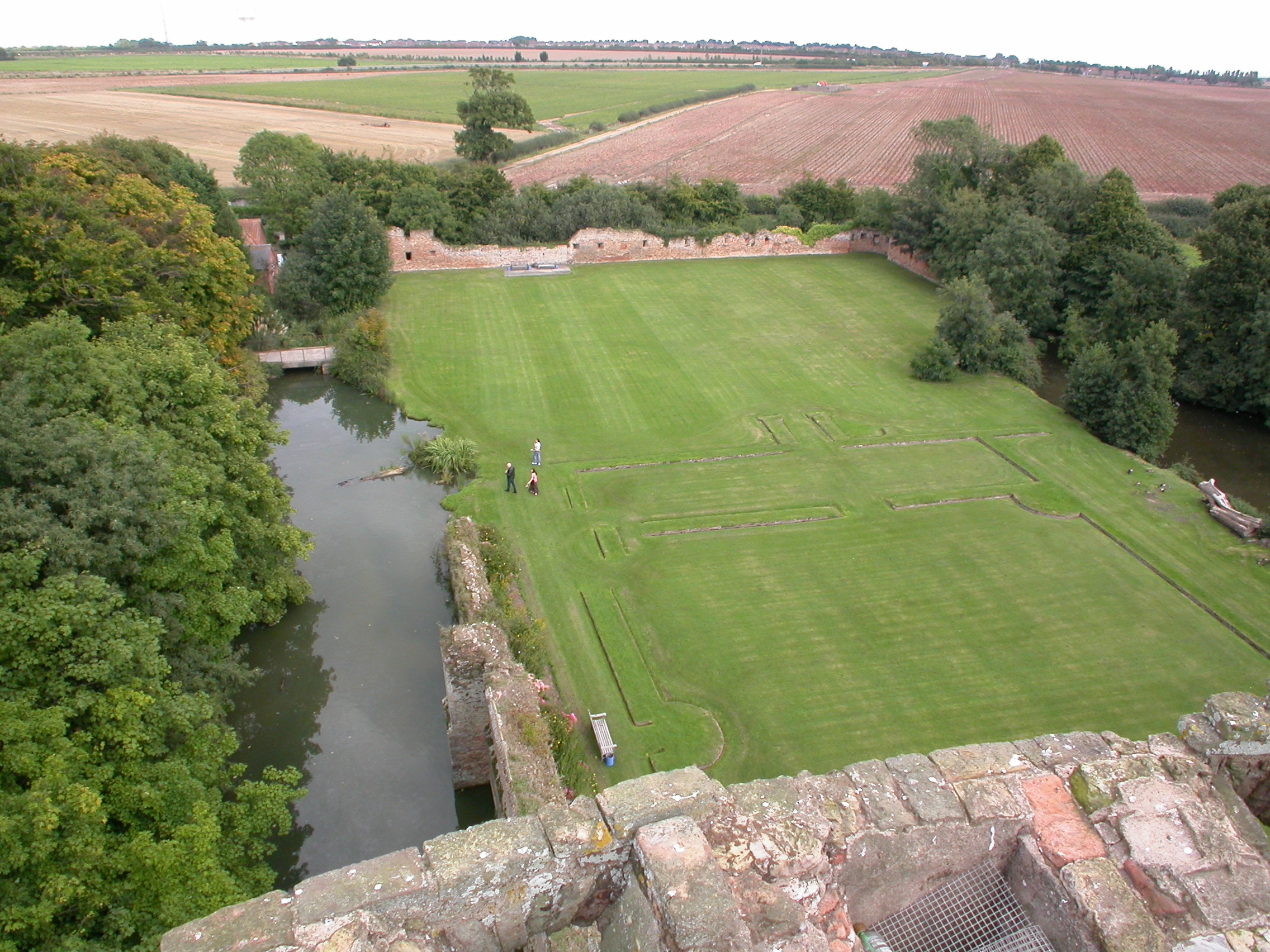
With no significant collections in the castle to reflect this period, Raby’s greatest medieval asset is the castle itself. Alterations over the past 400 years have reshaped the building, modernising it for residents as tastes and technologies changed. Whilst it is still medieval in appearance, key features of the 14th century building have been lost. In order to explore how the castle may have looked before these alterations, our 2022 project will create a digital model of the castle that allows visitors then to view the castle’s past appearance based on our ongoing research.
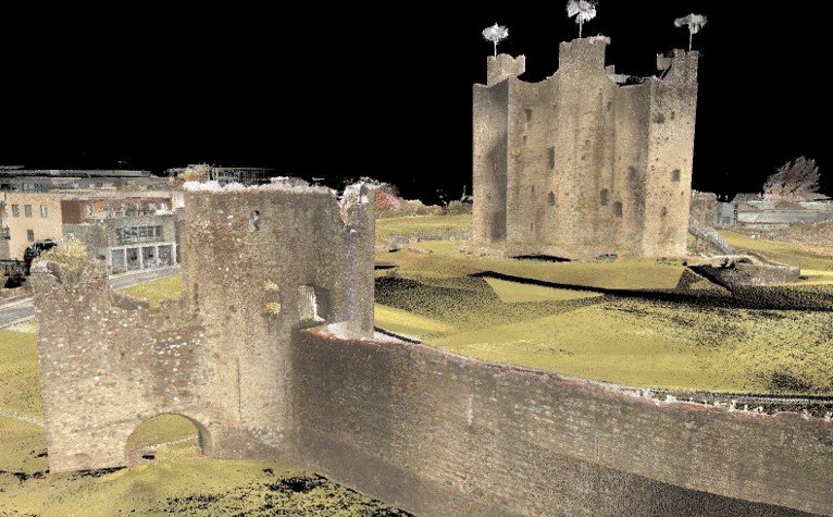
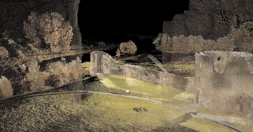
The creation of the digital model will be carried out by Durham University’s Archaeological Services, using a DJI S900 drone or equivalent. Photographs will be taken utilising a 14mm lens and 36 megapixel sensor, supported by RTK GNSS positioning. The data captured will then be uploaded and processed through Agisoft Metashape Professional and output as a 3D model utilising AutoCad Map 3D and giving the team the opportunity to ‘strip back’ known later additions and ‘rebuild’ known, lost features, such as the Barbican. The resulting model will be used in new interpretation at the castle, sharing our findings with our visitors.
Instrumental to the success of this project will be a team of Raby’s dedicated volunteers. A group of the castle’s regular volunteers formed a research group to work with the curator to pull together all known sources for the castle’s architectural changes to support this project. They have researched documentary sources including primary and secondary accounts, topographical pictures, maps and plans and in advance of the project will be surveying the castle walls. Their findings will be brought together in a portfolio of evidence which can then be reviewed by specialists from Durham University Archaeological Services who will be carrying out further research and eventually creating the model itself.
There has never been a full archaeological survey of Raby Castle and opportunities for research have been limited in the past. This project reflects the ambitions and vision of Lord and Lady Barnard, the castle’s owners who firmly believe that it is by understanding and sharing the castle’s past that we will secure its future. This project is part of that important story.
Subscribe to our quarterly newsletter
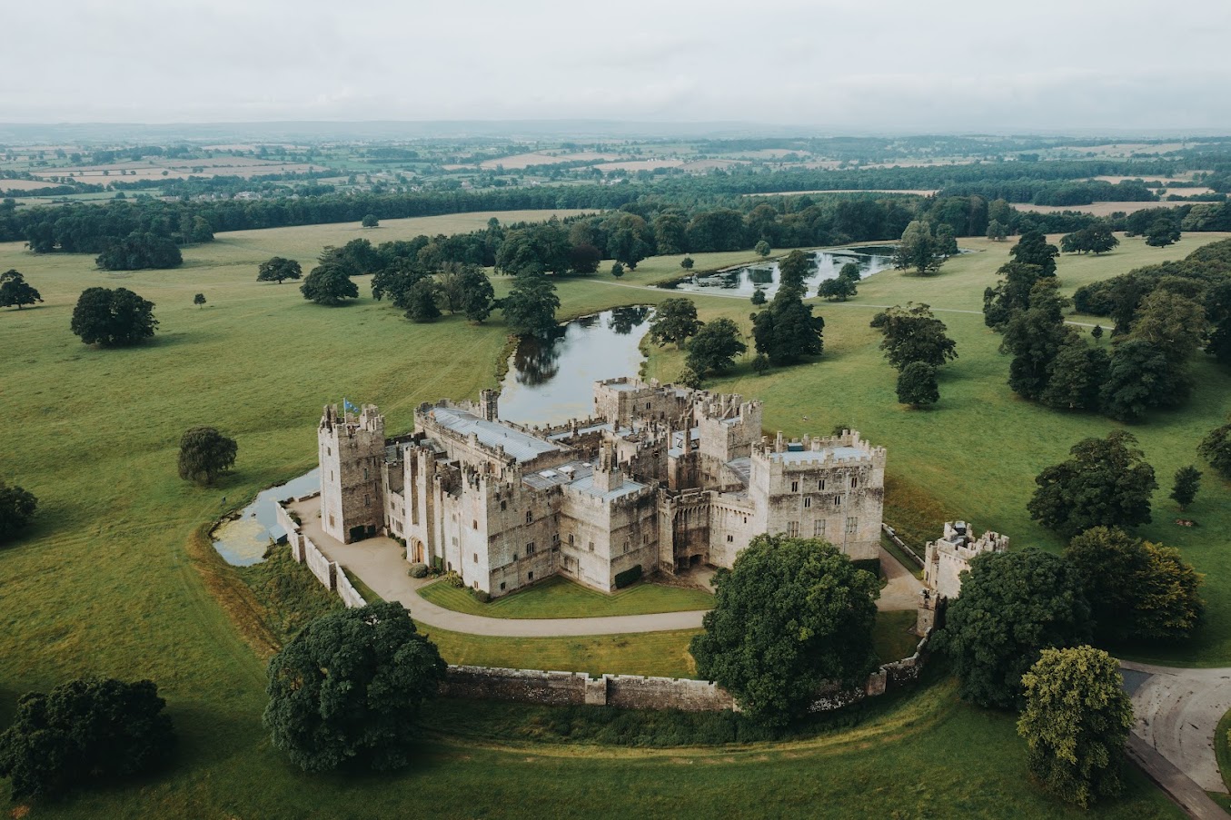
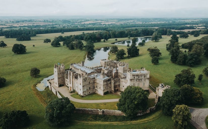
Feature image: Raby Castle from a drone copyright Daniel Casson