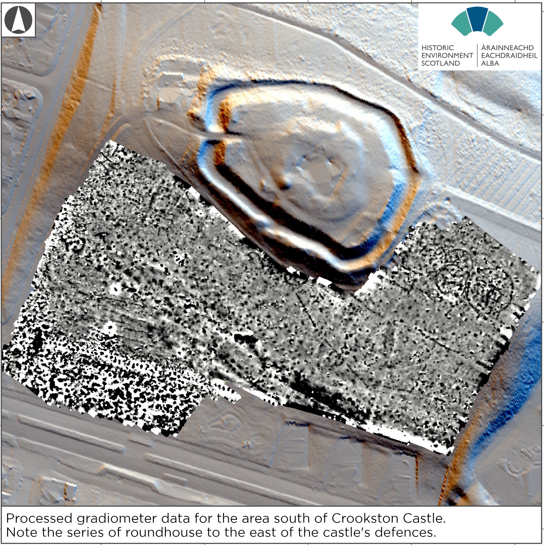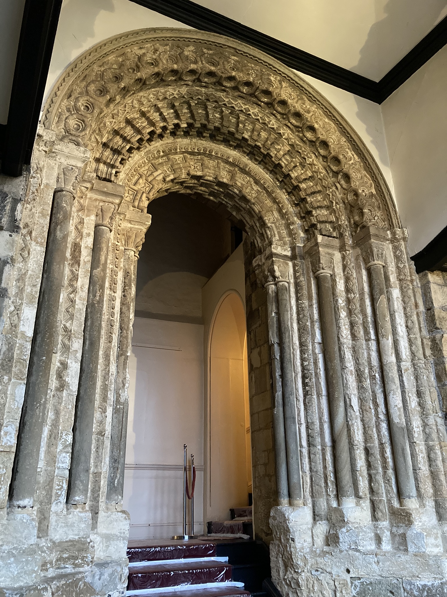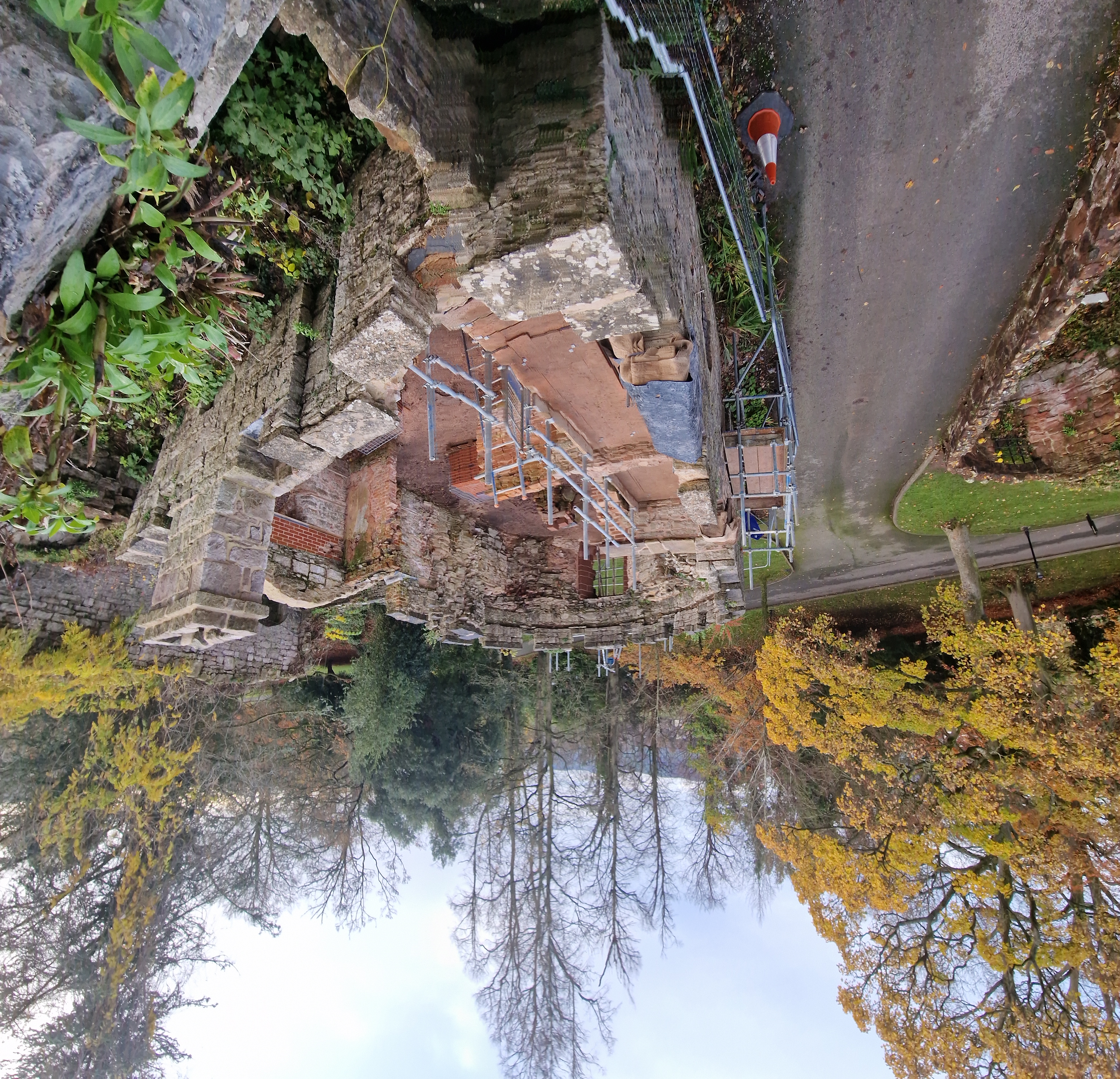
Dr Andrew Ferrara of Durham University, and project co-lead for investigating the Romanesque entrance looks at what they are doing and also hoping to learn from this detailed study of this spectacular doorway.
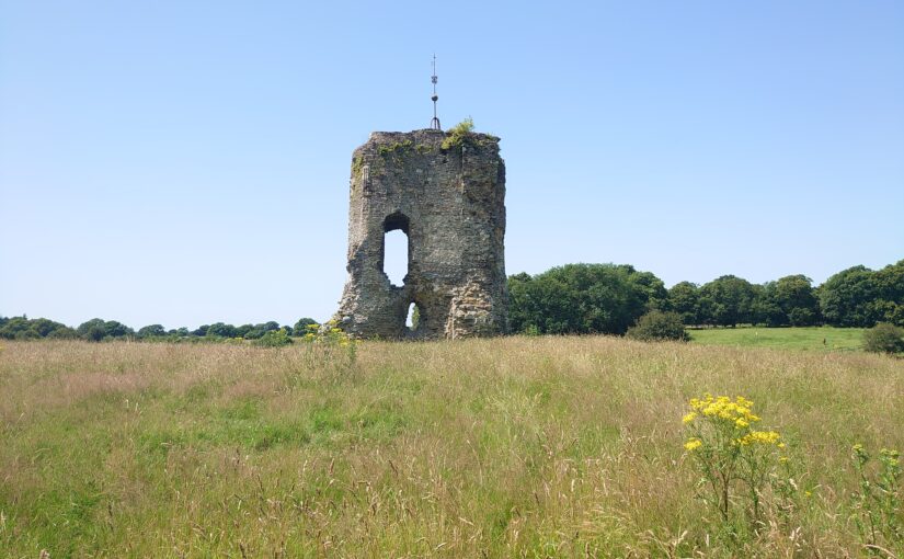
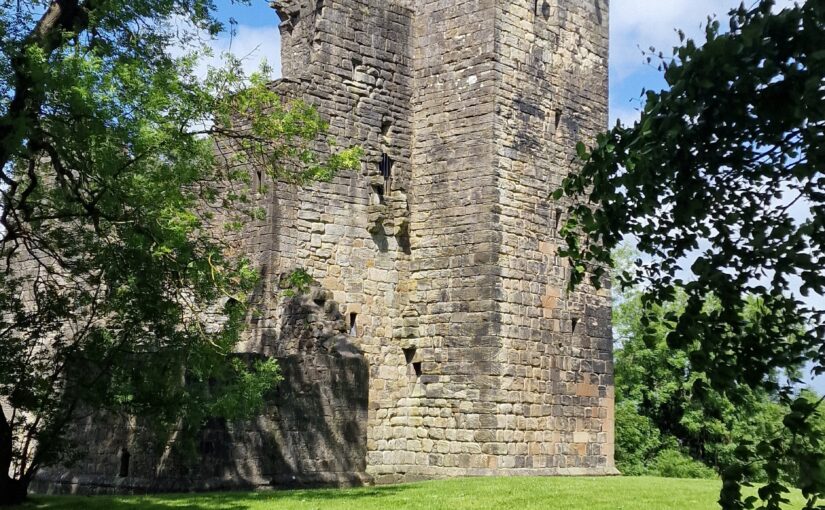
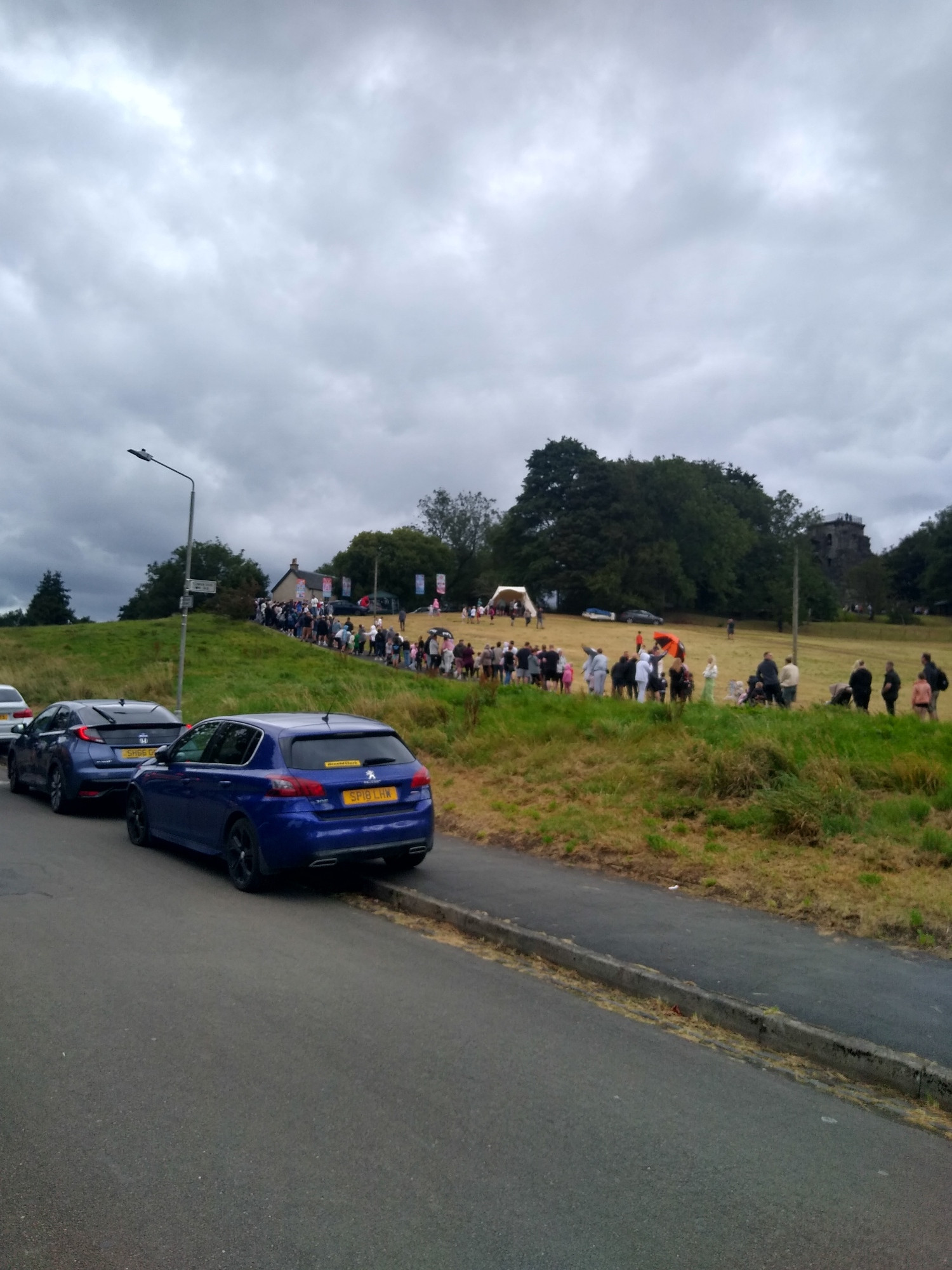
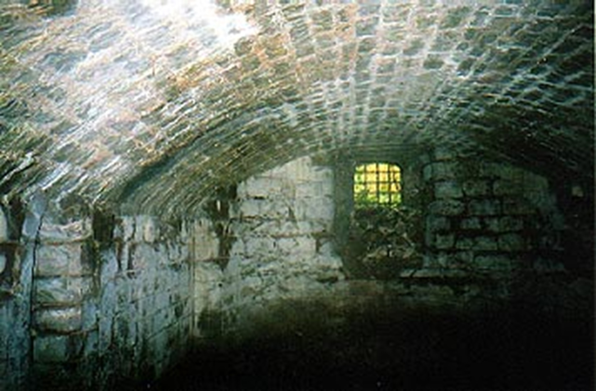
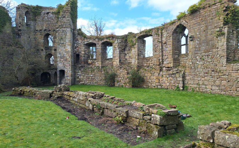
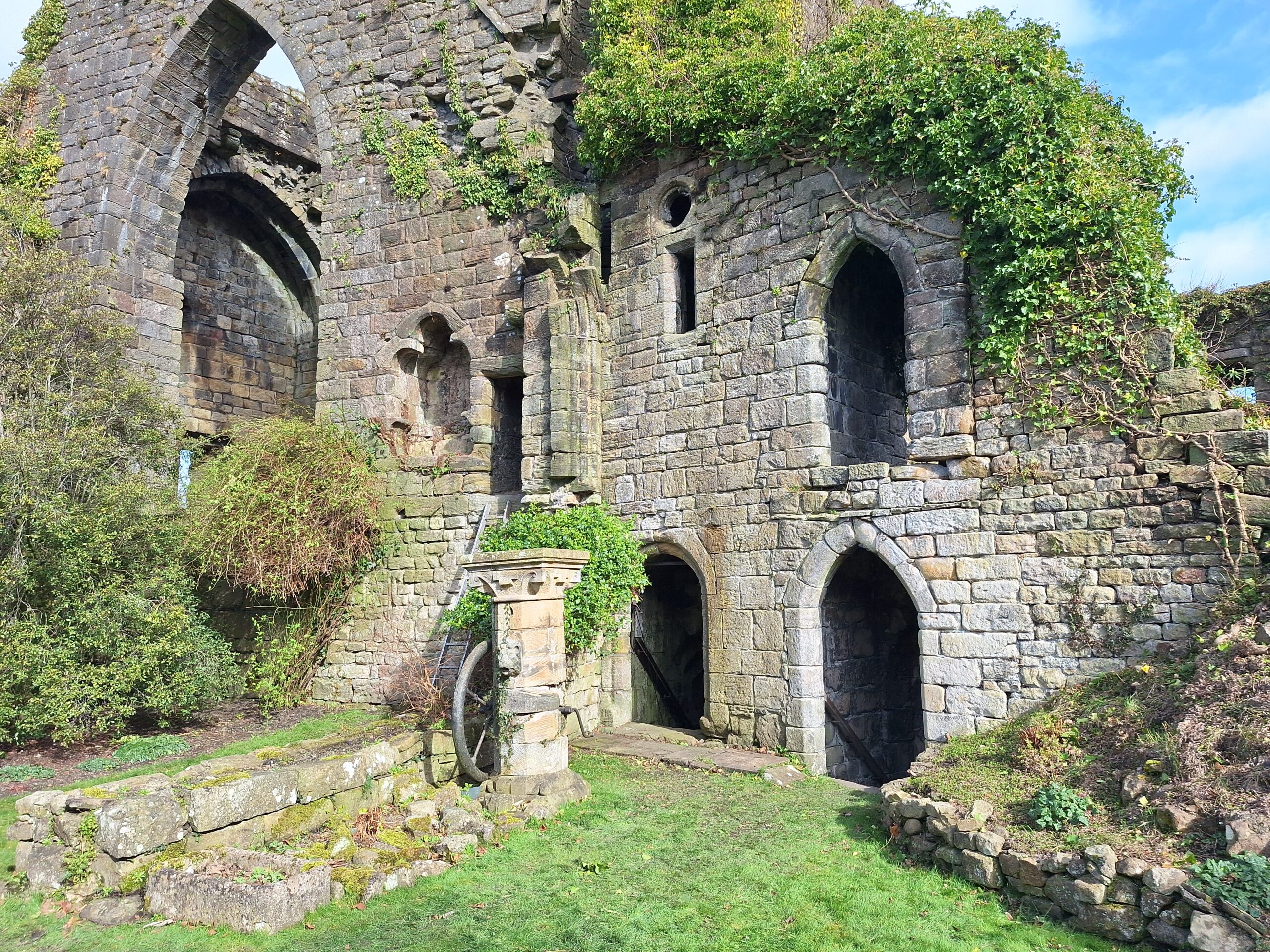
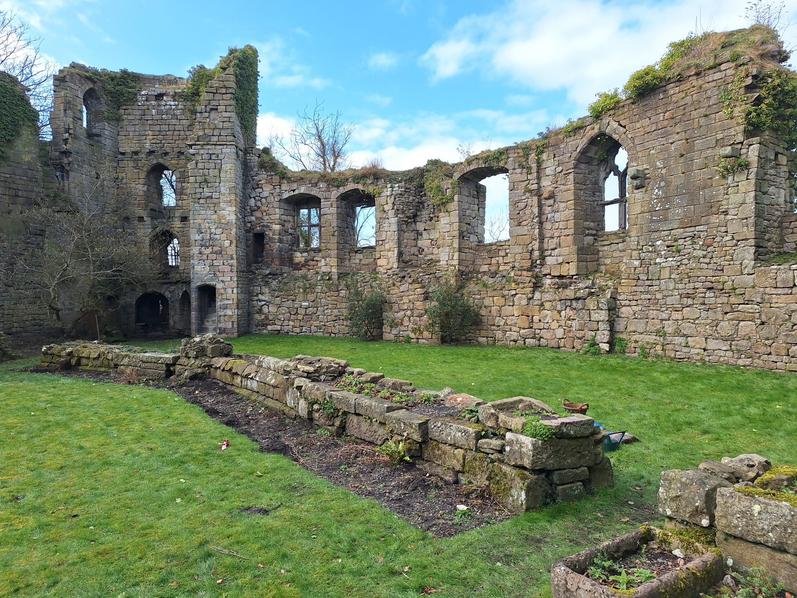
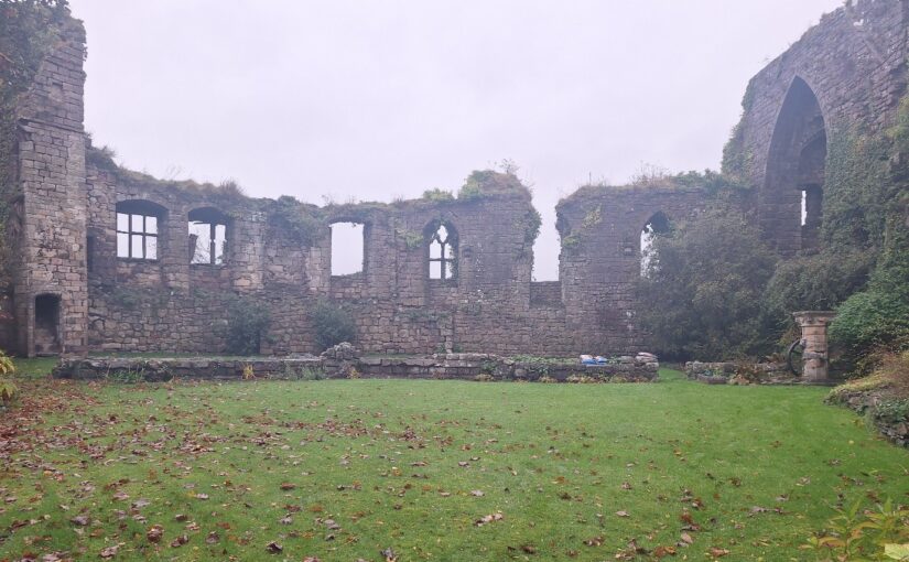
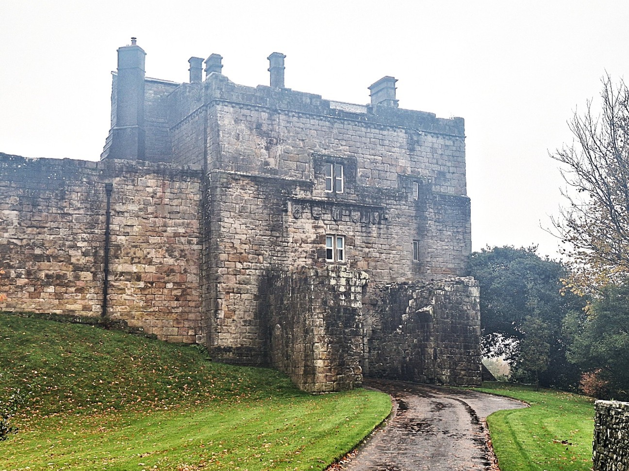
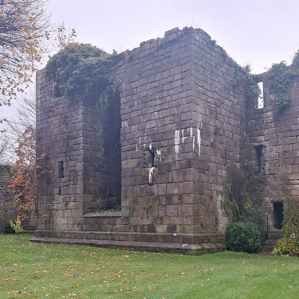
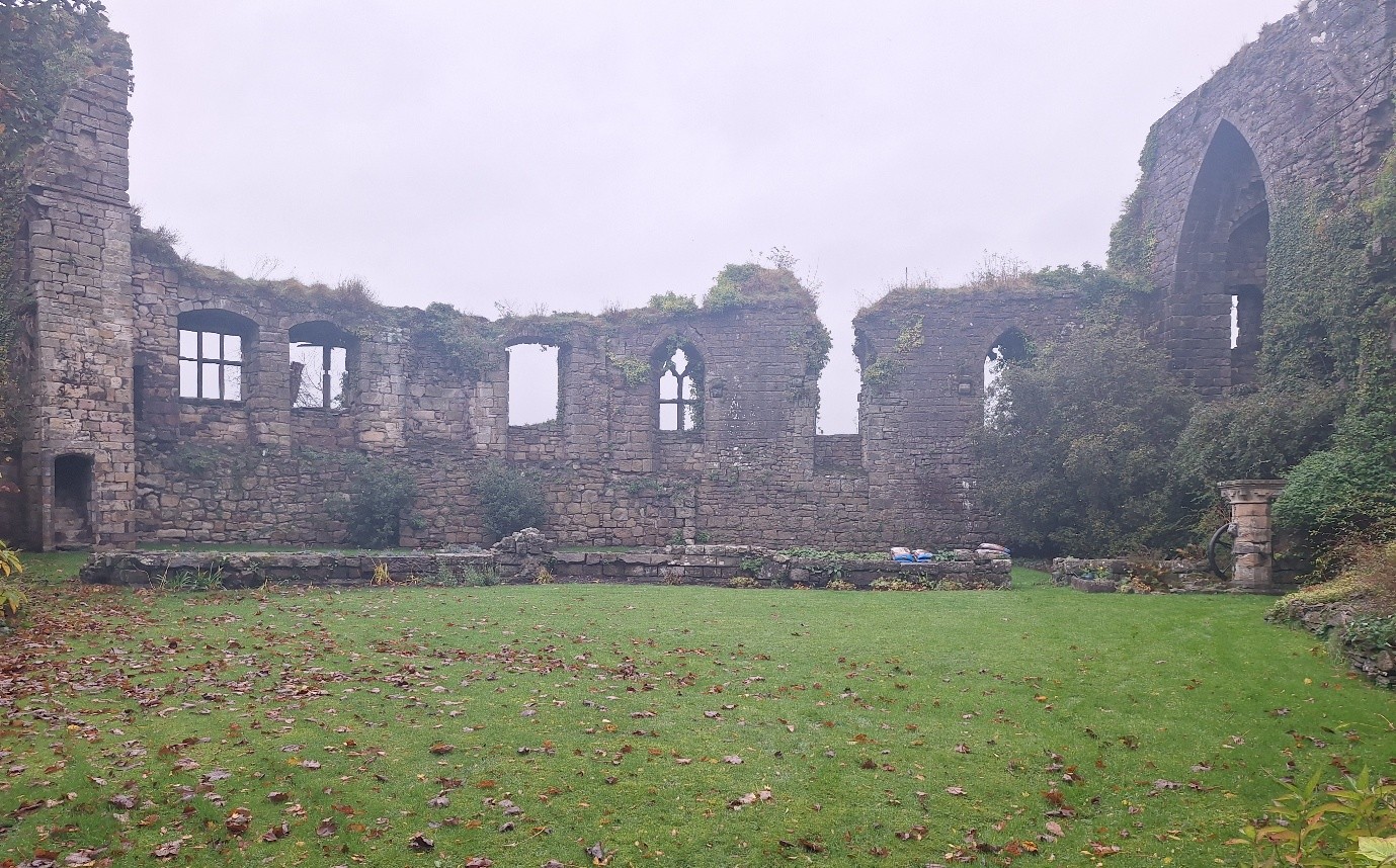
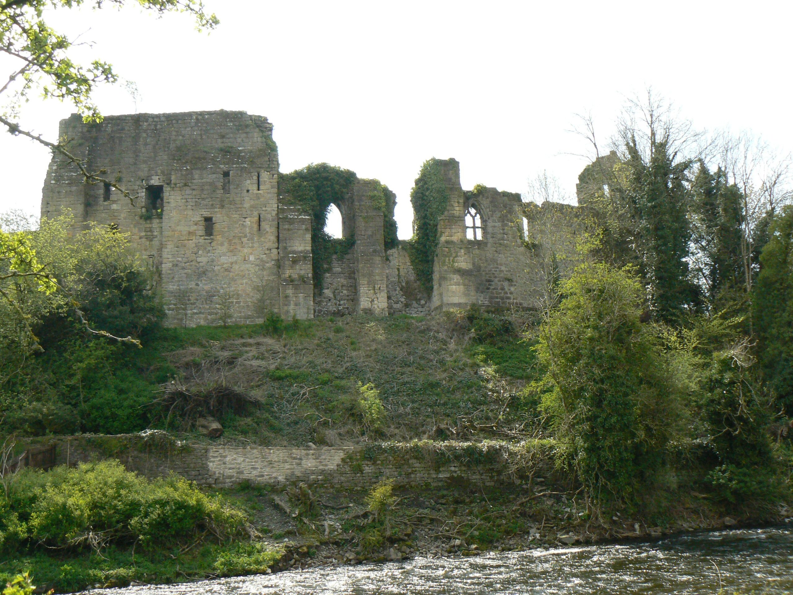
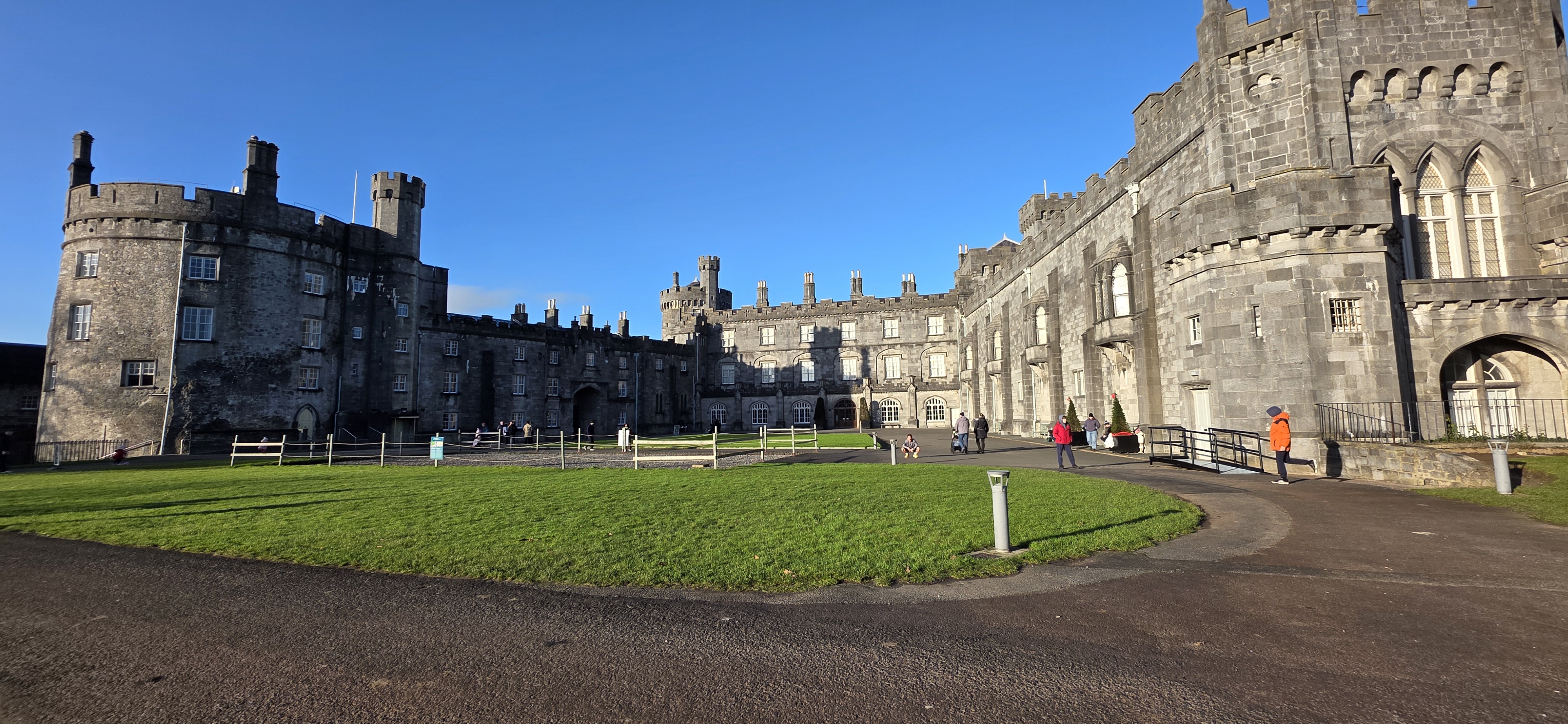
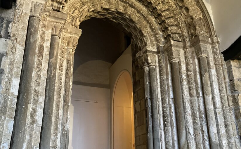
Durham Castle is one of the most prominent and renowned twelfth-century episcopal castles in Britain, sitting in the wider Durham UNESCO World Heritage site along with the cathedral. Construction is recorded as beginning in 1072, and the site has been in continuous occupation ever since. It operated as one of the bishop’s principal residences, right up until the nineteenth century when it was given to Durham University. As such, the complex has undergone multiple changes and alterations through the centuries, including significant interior and exterior works in the seventeenth and eighteenth centuries, with many of the medieval structures enclosed or adjusted by later development. Amongst the most significant building phases was the work undertaken during the episcopate of Bishop Hugh de Le Puiset (1153-95) and one of the most dynamic features from that period is the grand archway entrance inserted into the south façade of the castle’s North Range. Despite its longevity and pedigree, the castle has received surprisingly limited investigation or scholarly attention over the past century.
Subscribe to our quarterly newsletter
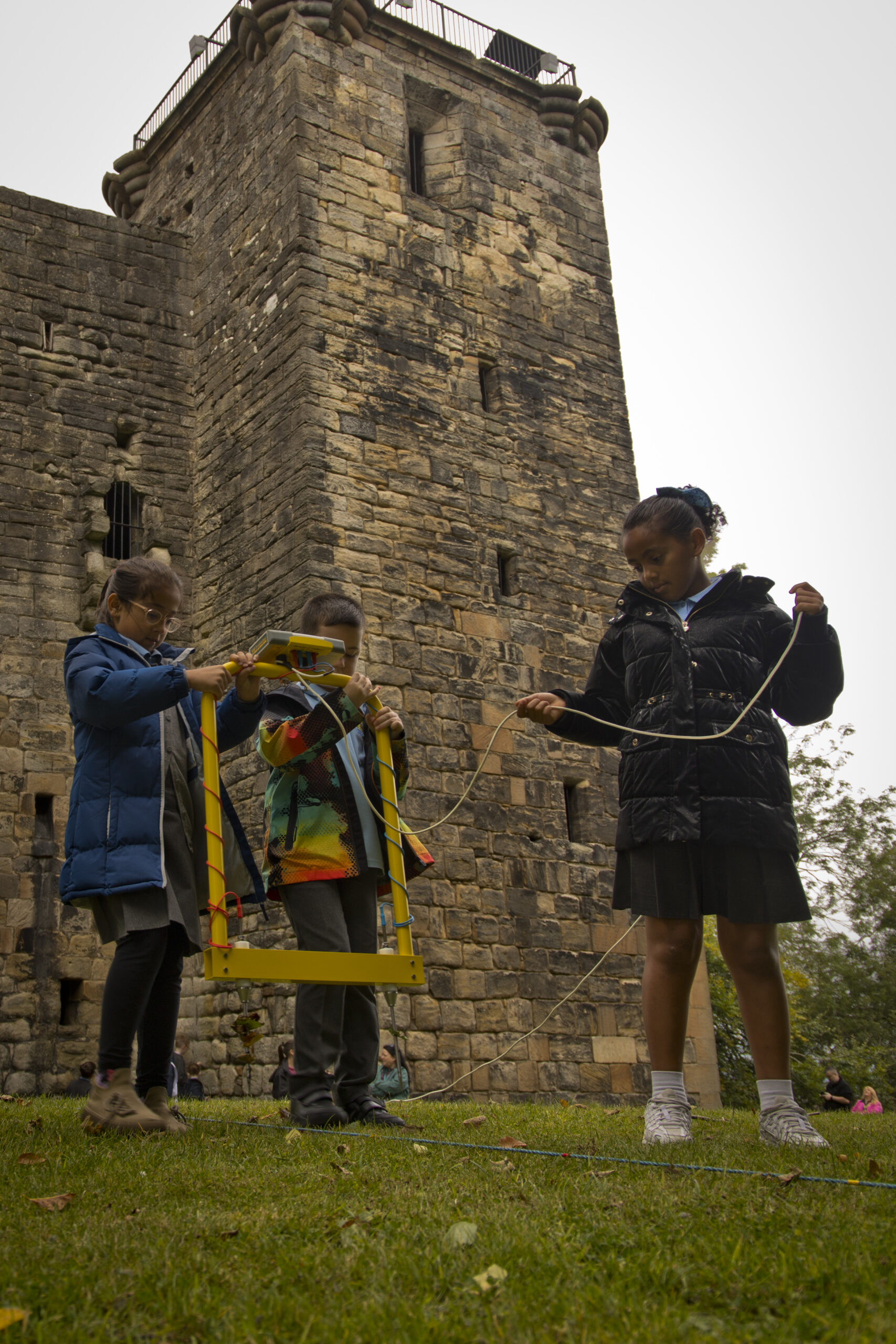
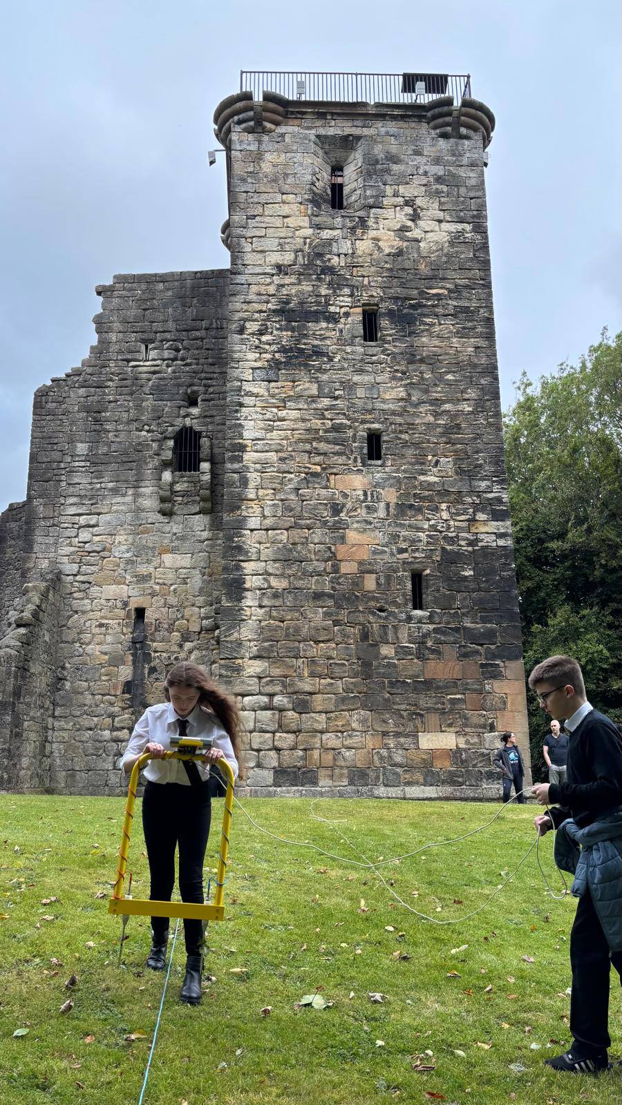
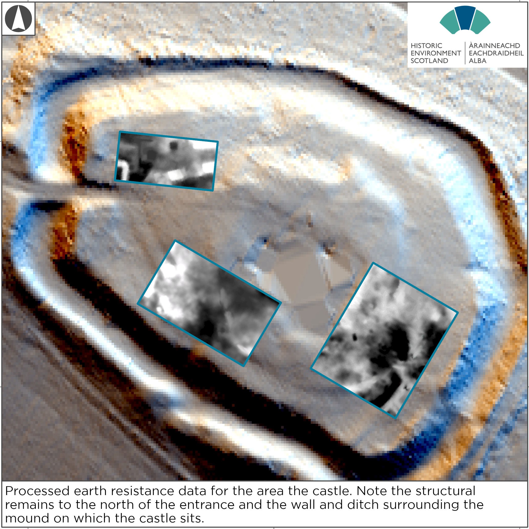
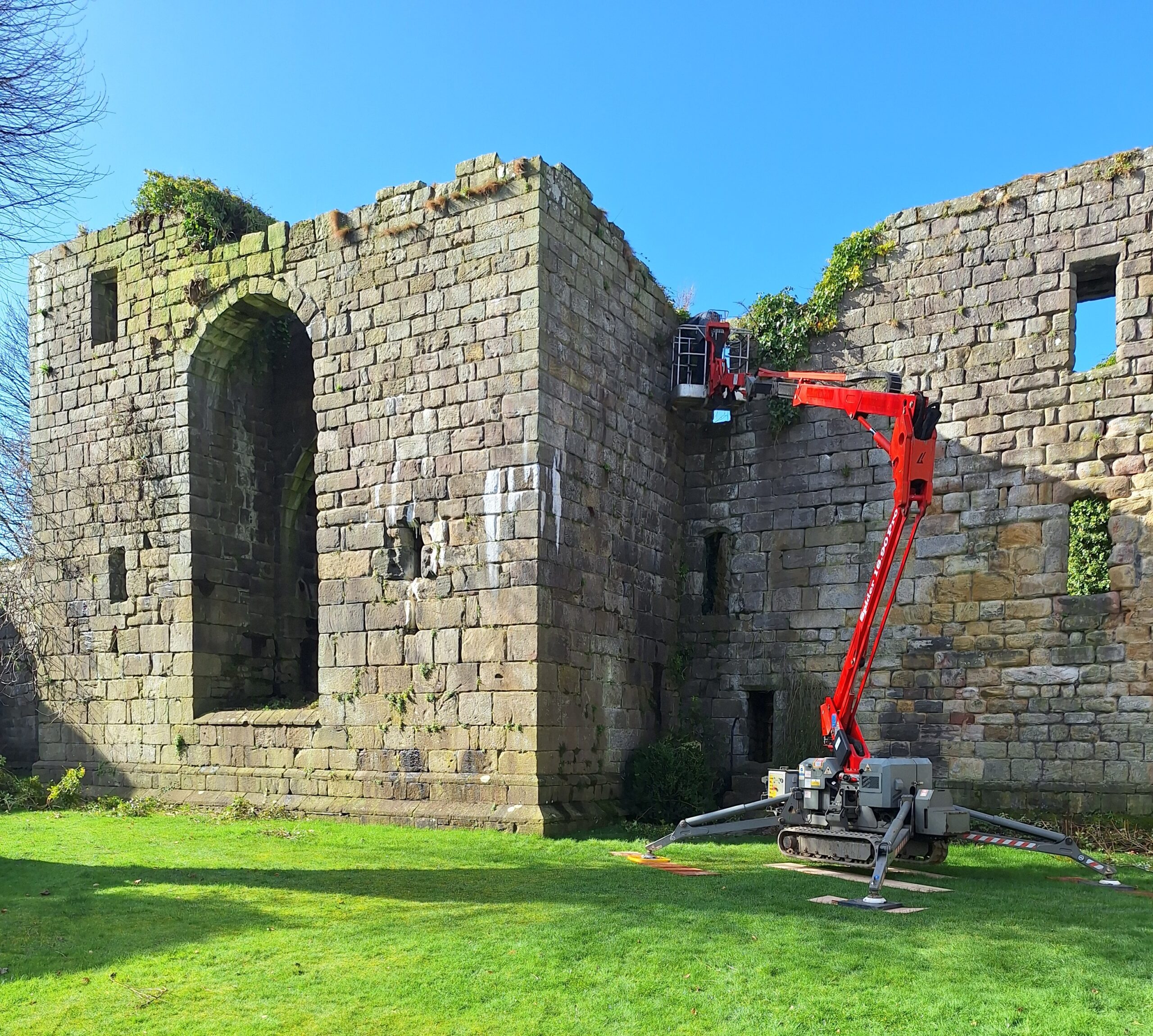
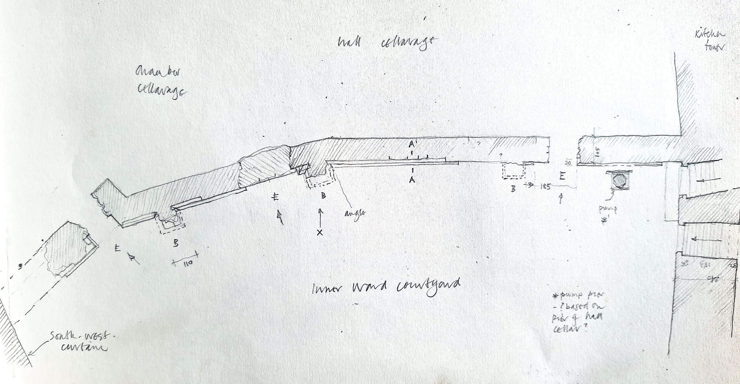
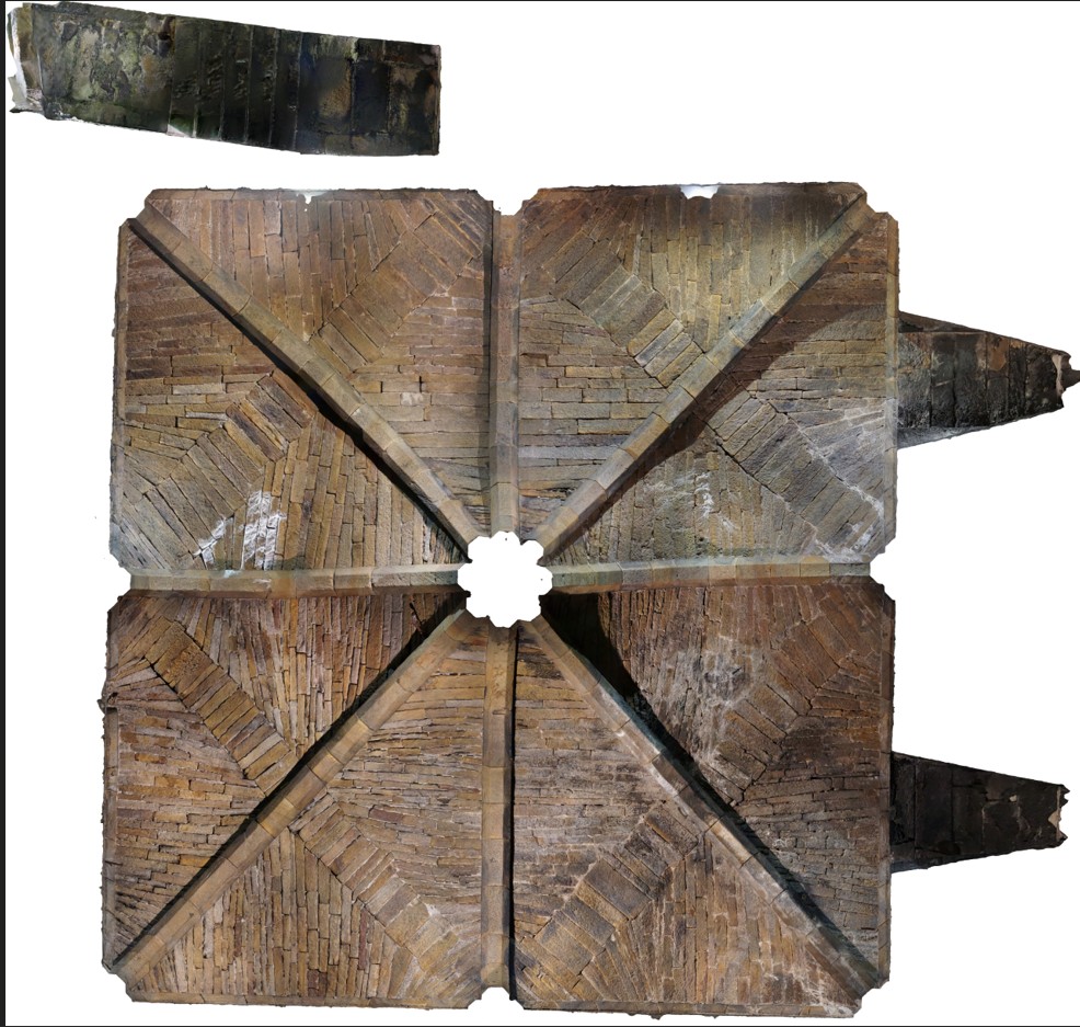
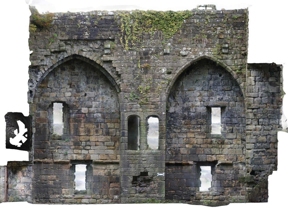
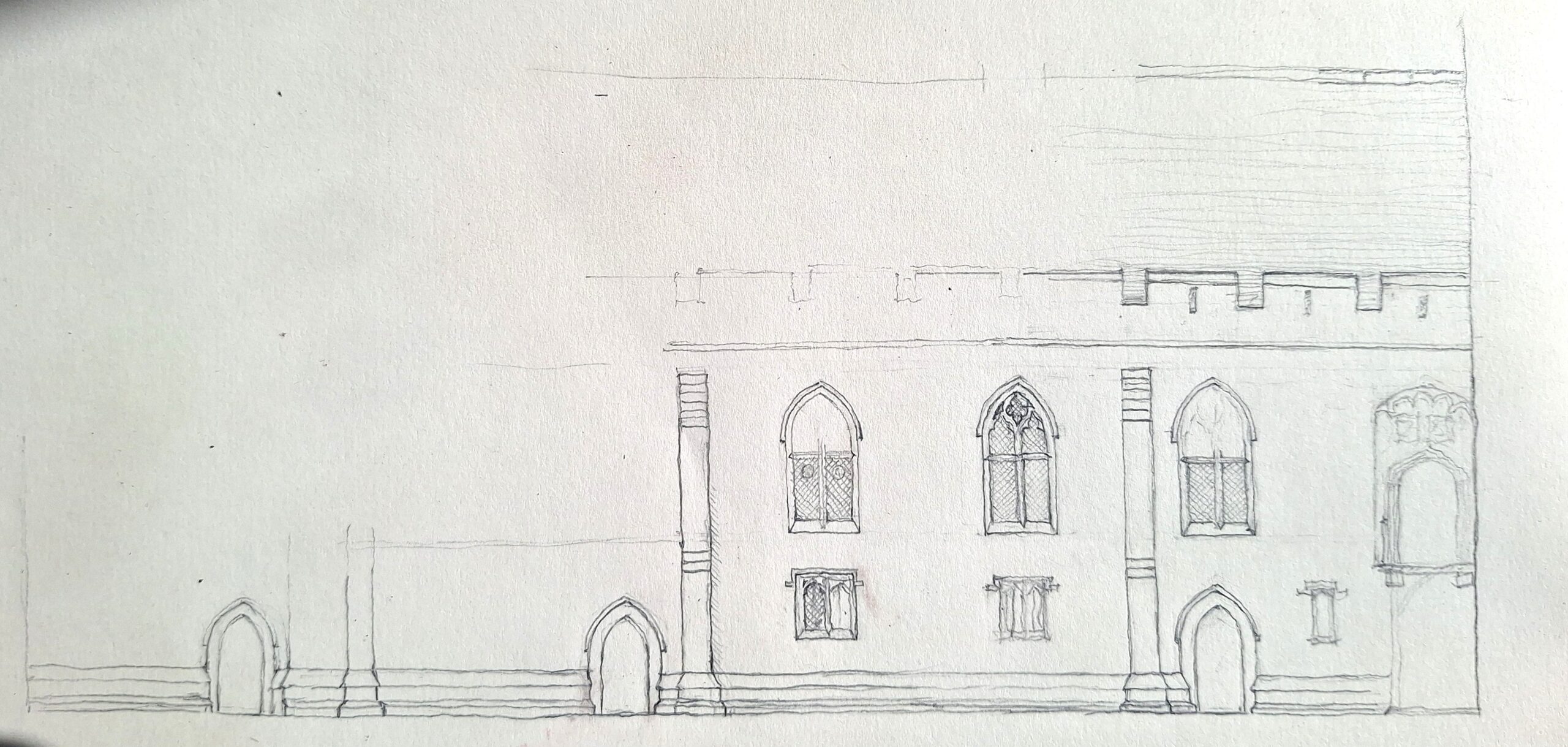
The current project, made possible through generous funding by the Castle Studies Trust, and led by Dr Andrew Ferrara and Professor Giles Gasper, is undertaking non-destructive photogrammetry of the Le Puiset archway. This methodology will result in a highly-detailed 3D model of the structure, ideal for detailed remote study. The same 3D data can then be used to generate orthographic projections, functioning as highly accurate blueprints of the arch. In addition, targeted high-resolution photography of details and additional 3D laser scans of the capitals will be undertaken. These combined methods will result in the most detailed and state-of-the-art records of this part of the castle for wider research and dissemination.
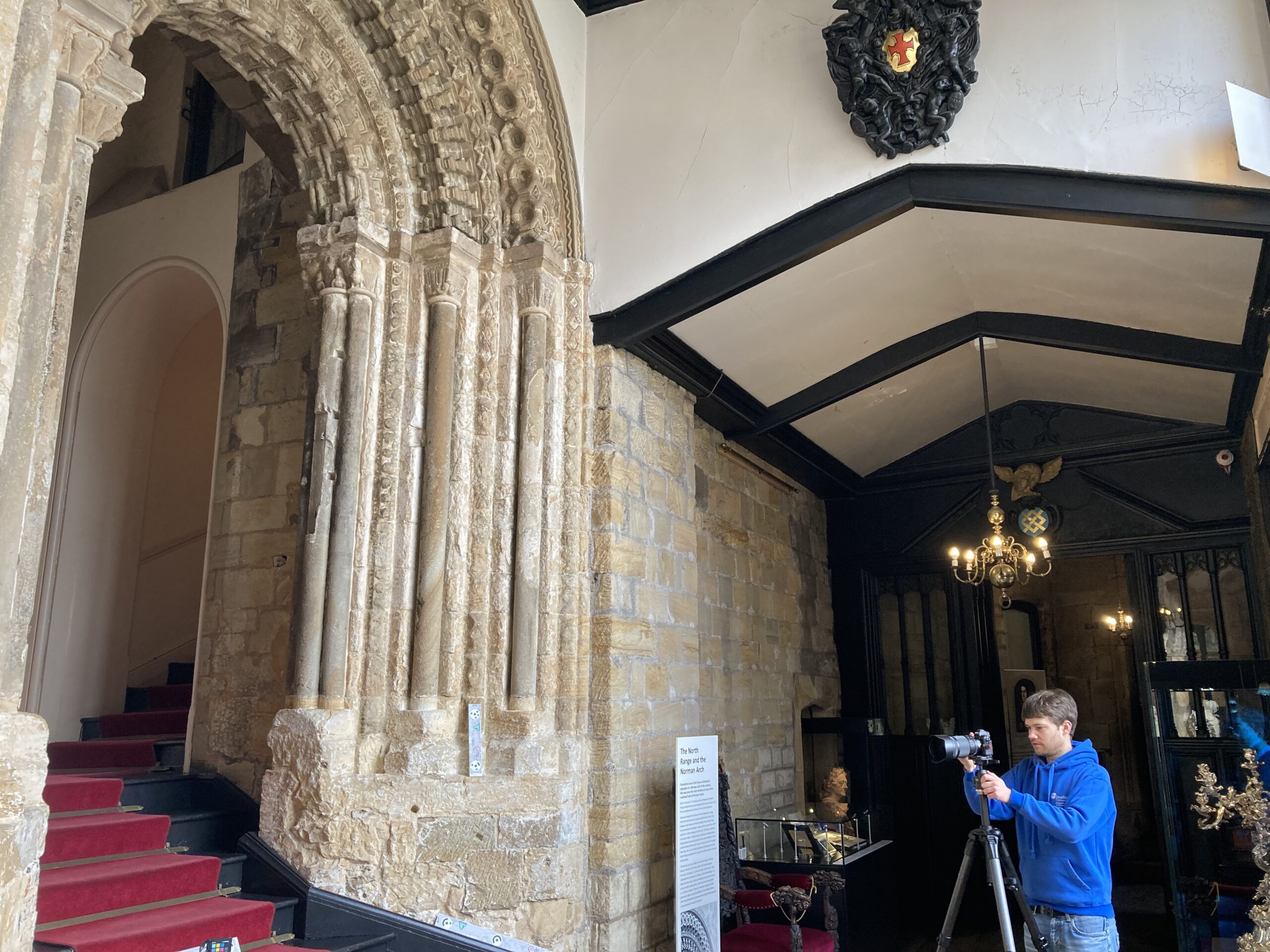
This research focus has emerged from a renewed interest in the castle complex, catalysed by recent conservation and refurbishment works around the site which have revealed previously unknown architectural features. While the archway is exceptionally elaborate, it has never been subject to in-depth examination and set within the wider context of both Romanesque sculpture and the understanding of Durham Castle. The detailed modelling will allow for a thorough inspection of the features to be undertaken, in particular of diagnostic sculpture elements, enabling thorough comparison with other contemporary architectural outputs across the region and country. It is hoped that this will help tighten the chronology of the archway and set it in the context of other building projects undertaken by Bishop Le Puiset and other elite patrons. This will then further help inform understanding of the movement and concurrent projects of different master masons, and the sharing of architectural templates between secular and ecclesiastical sites and patrons in that milieu.
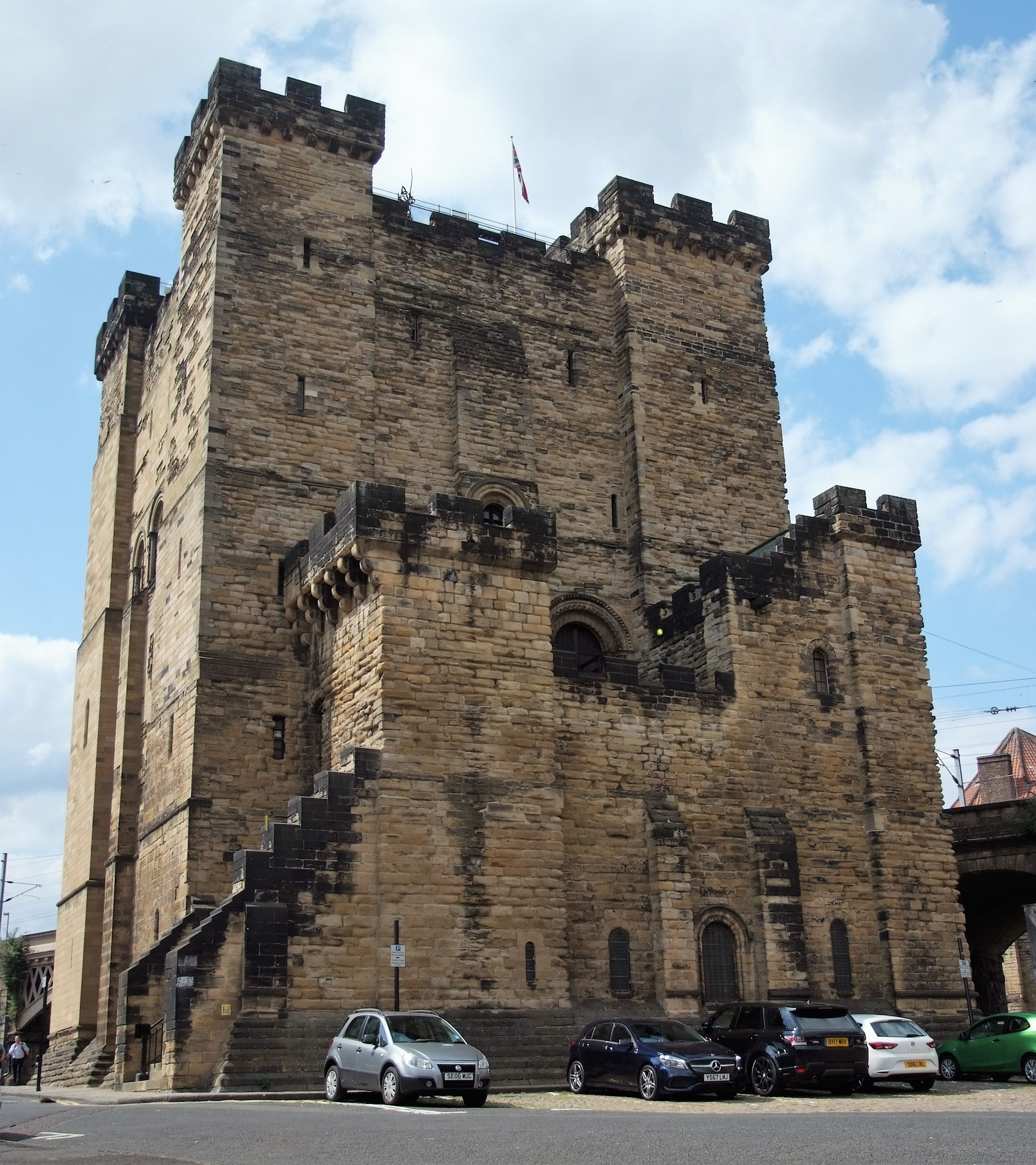
The project will also examine how the archway would have operated with the wider complex, to enable or restrict access and movement between the courtyard and internal spaces. This is crucial for better understanding the layout of the castle site in the late twelfth century, and how it would have looked and operated as the bishop’s See seat and one of the core centres of his palatine administration. The project will also explore the Durham archway within the context of ceremonial and embellished entranceways at contemporary castle structures like Newcastle, helping to understand where Le Puiset’s sponsored work sits within the wider corpus of elite buildings across the region.
All of this should result in a better comprehension of the layout and operation of the Durham castle in the late-twelfth century, and also of how this archway feature compares with other contemporary and preceding royal and local castle sites.