Project lead Dr David Stone of the Discovery Programme Centre in Ireland explains their plans for geophysical survey at Kilkenny.
Archaeologists from the Discovery Programme Centre for Archaeology and Innovation Ireland, Dr David Stone, Dr Susan Curran and Cian Hogan, together with Cóilín Ó Drisceoil of the National Monuments Service, are beginning a new project to explore the grounds of Kilkenny Castle in search of the lost Flemingstown. This is one of the most intriguing missing parts of the castle’s medieval history, a former settlement associated with the castle, documented in historical sources, but whose location has since been lost as no traces of it remain visible on the ground. With the generous support of the Castle Studies Trust, work will begin in the last week of March on a new survey of the parkland east of Kilkenny Castle known as the Dukesmeadow.
Subscribe to our quarterly newsletter
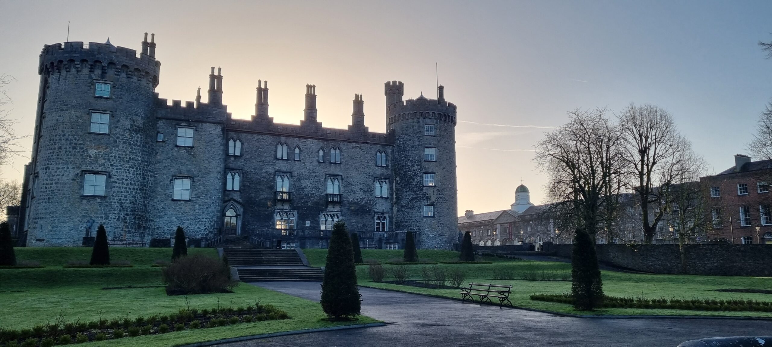
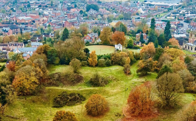
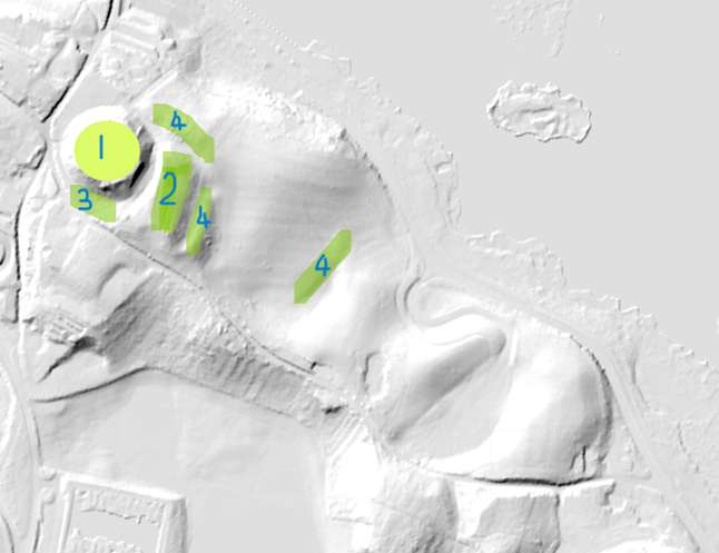
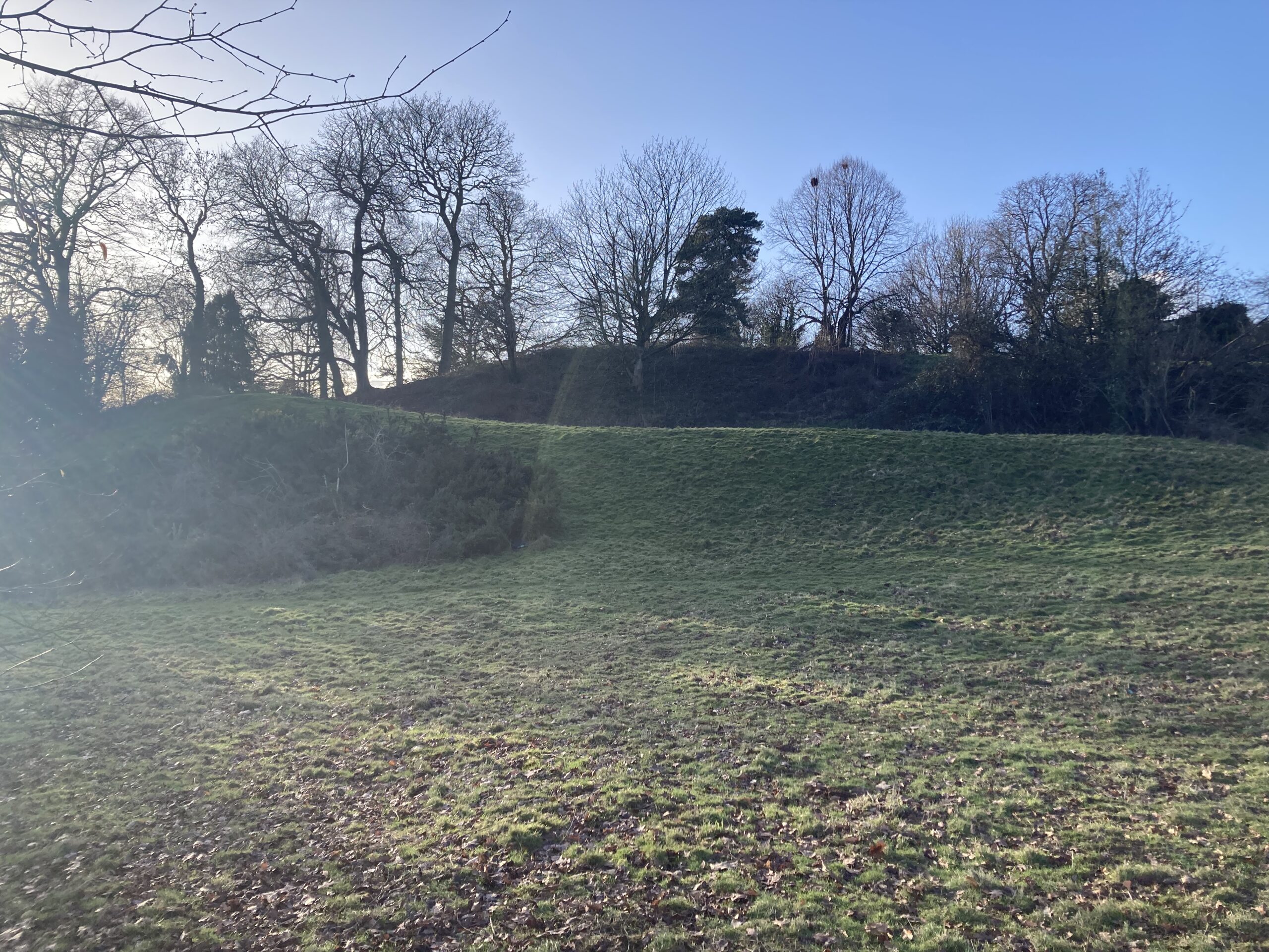
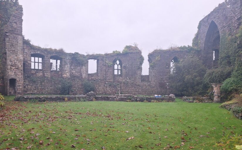
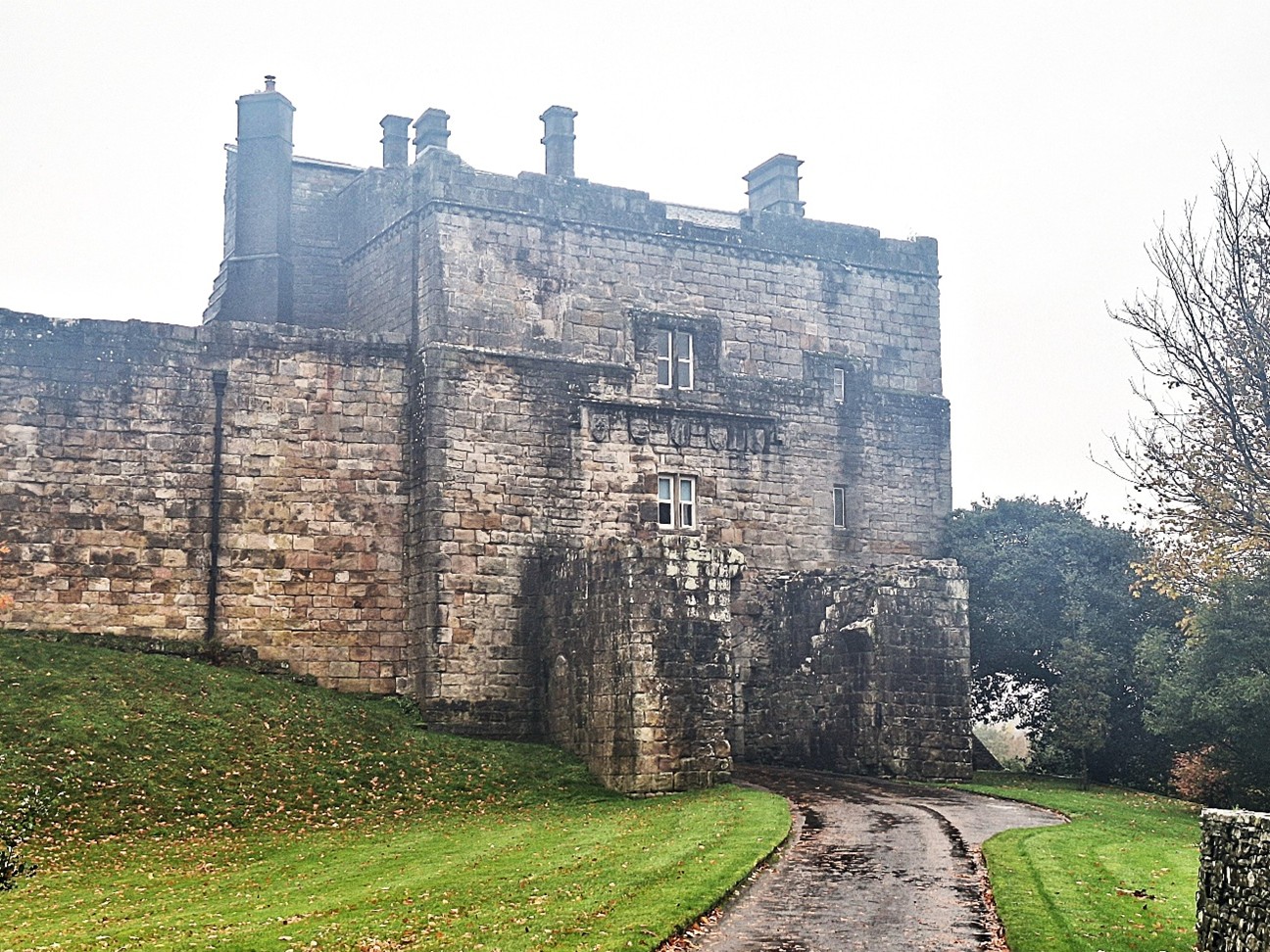
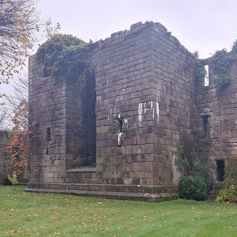
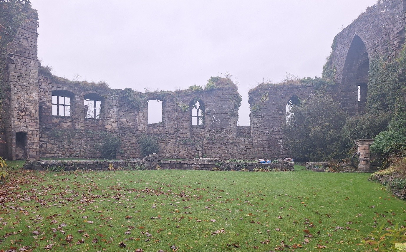
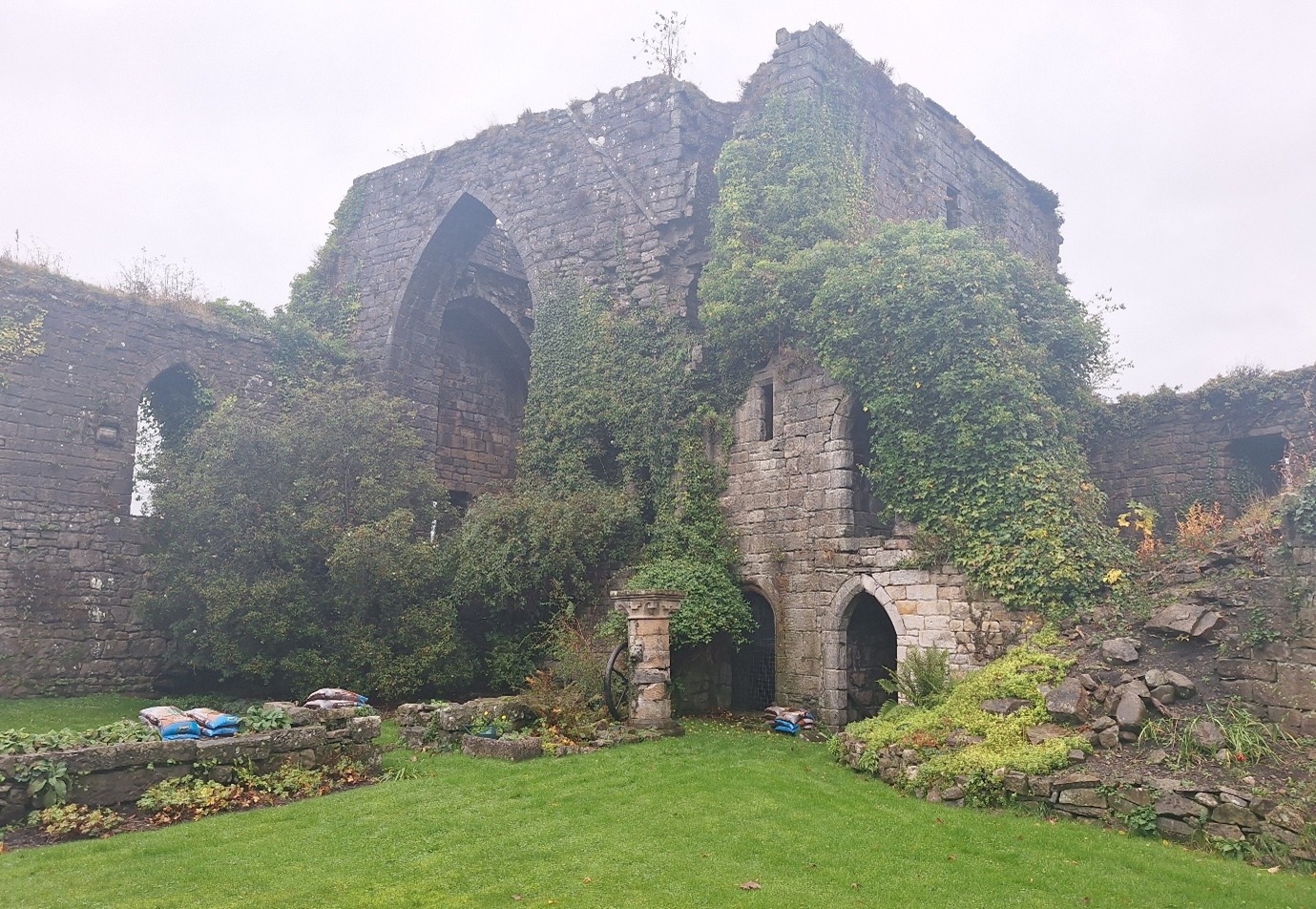
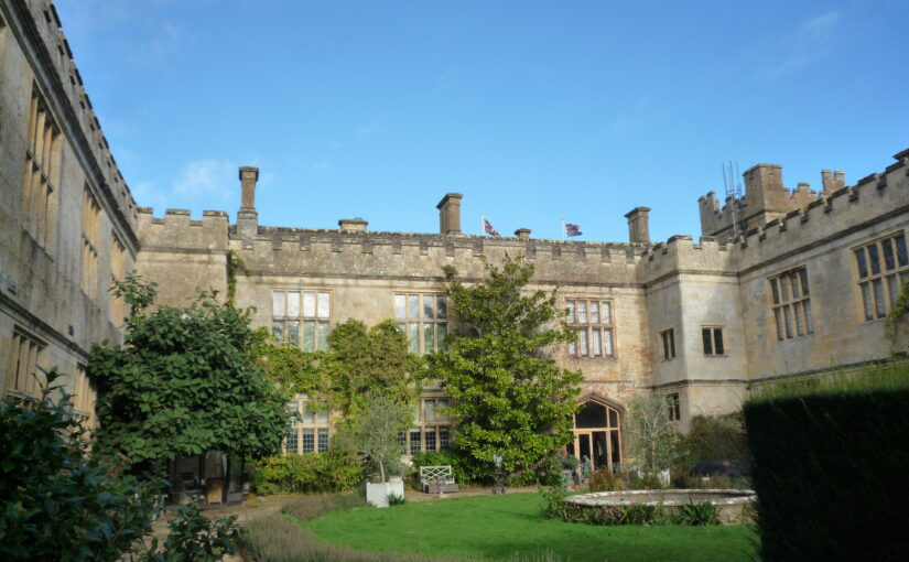
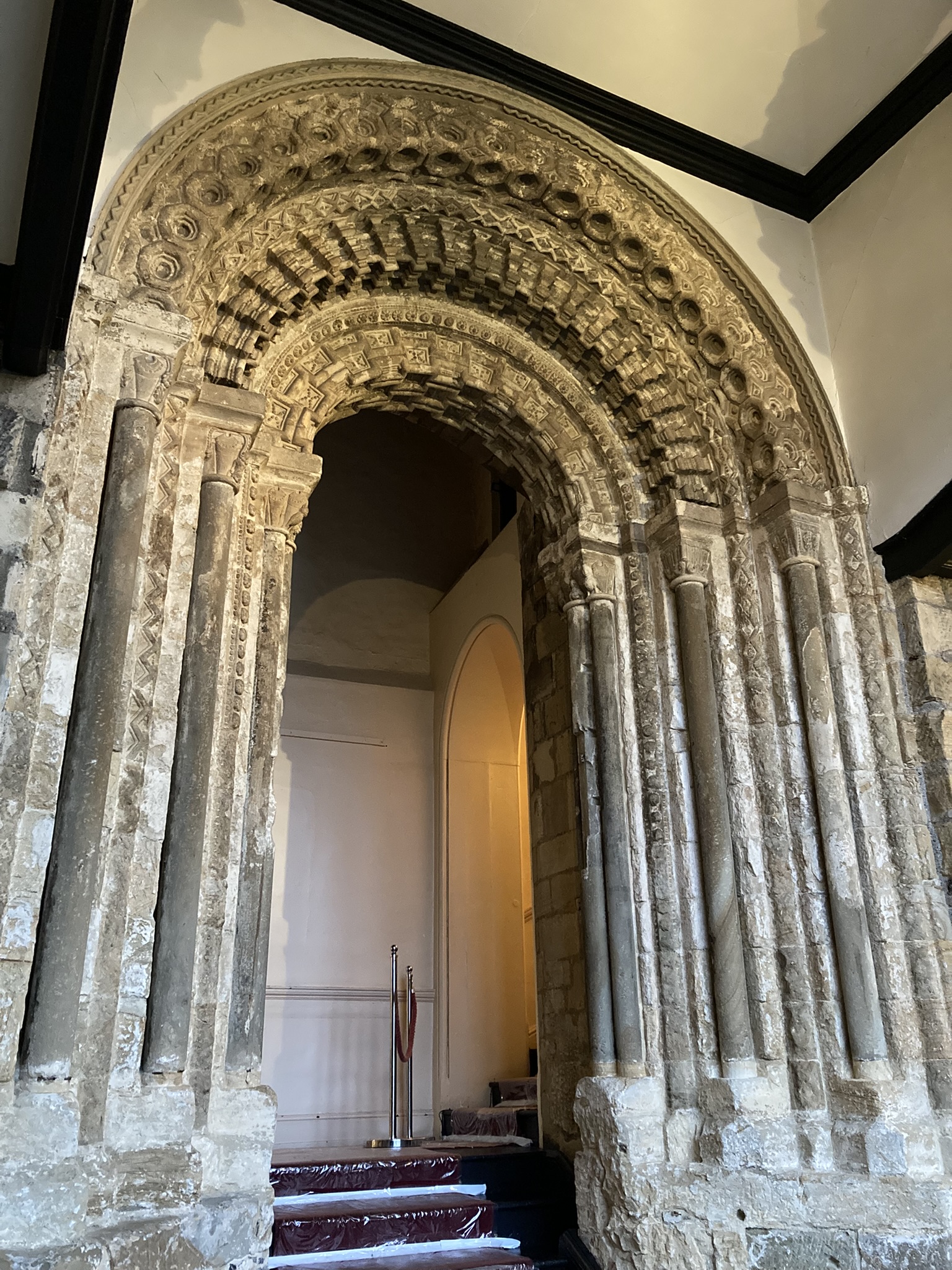
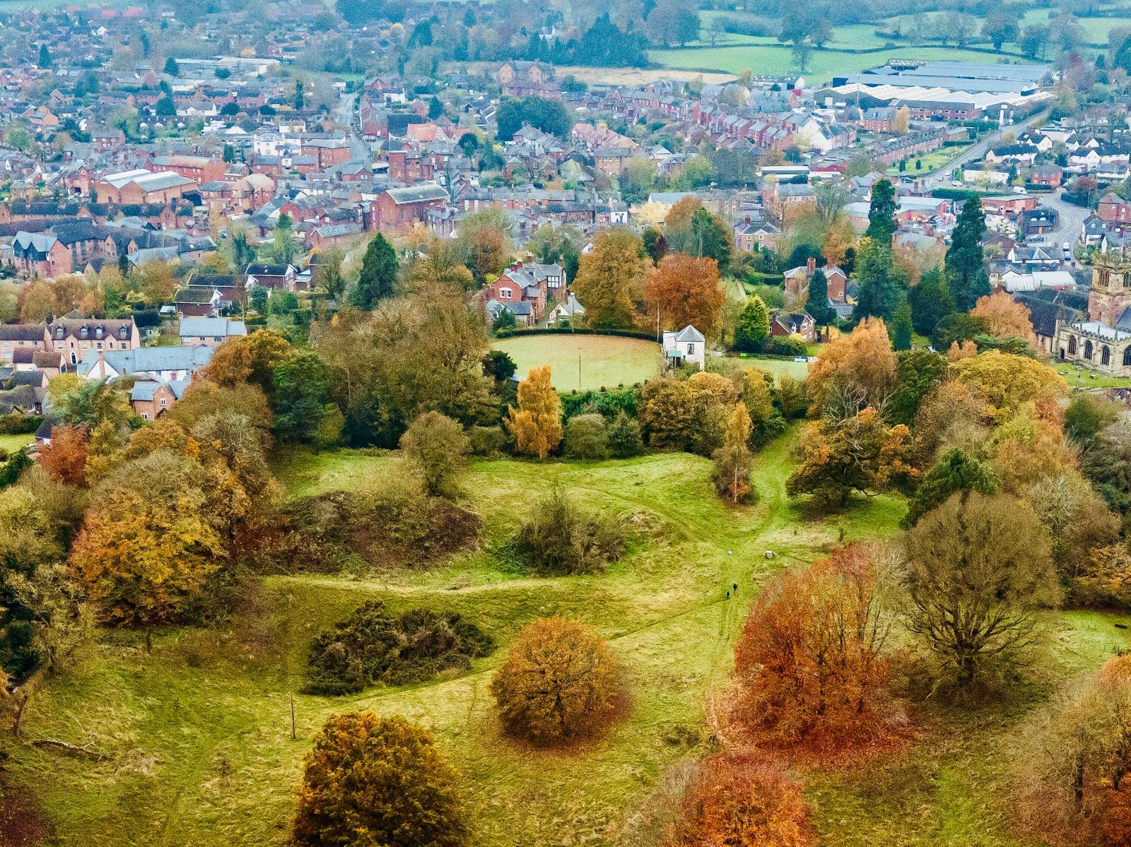
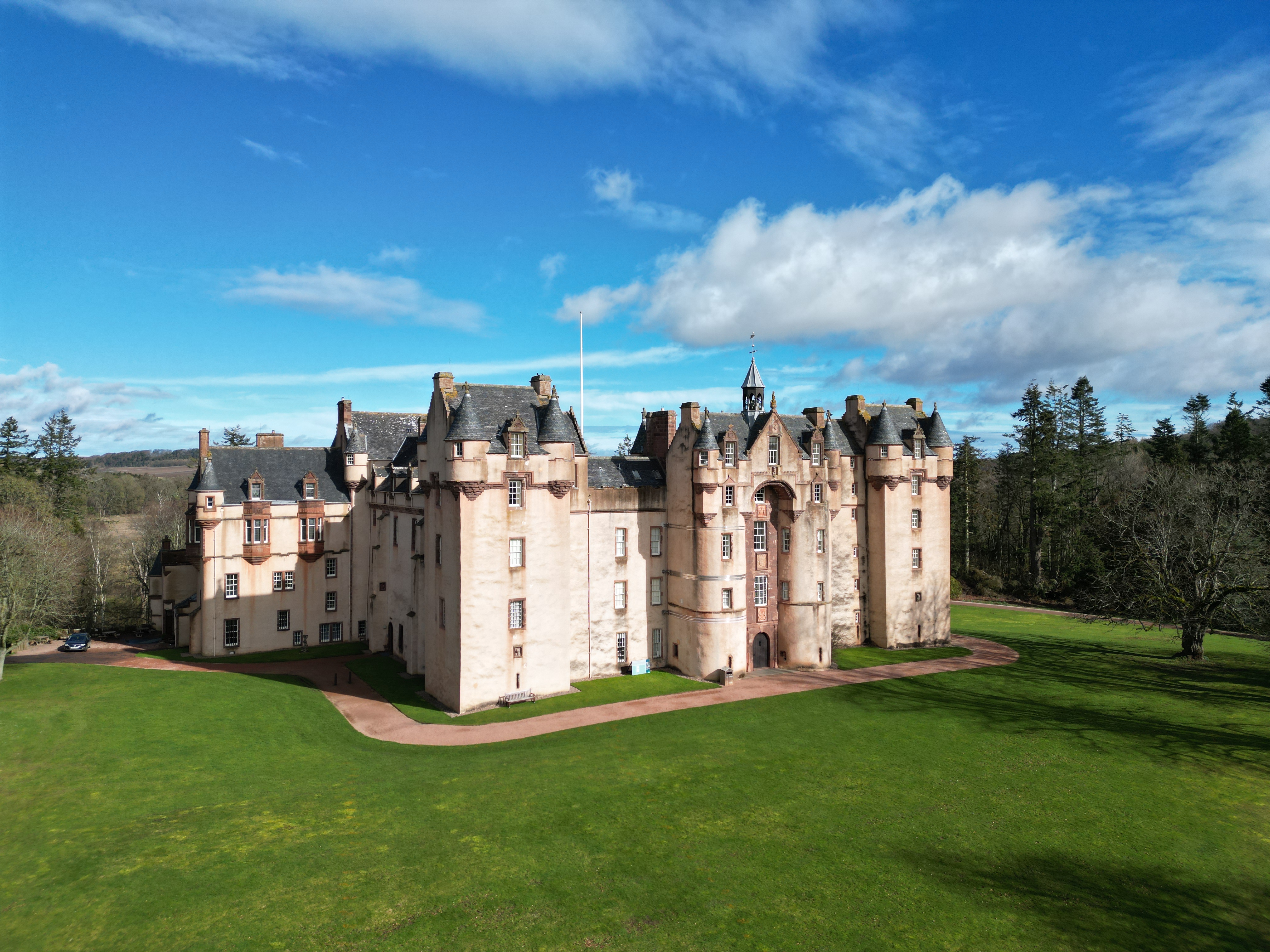
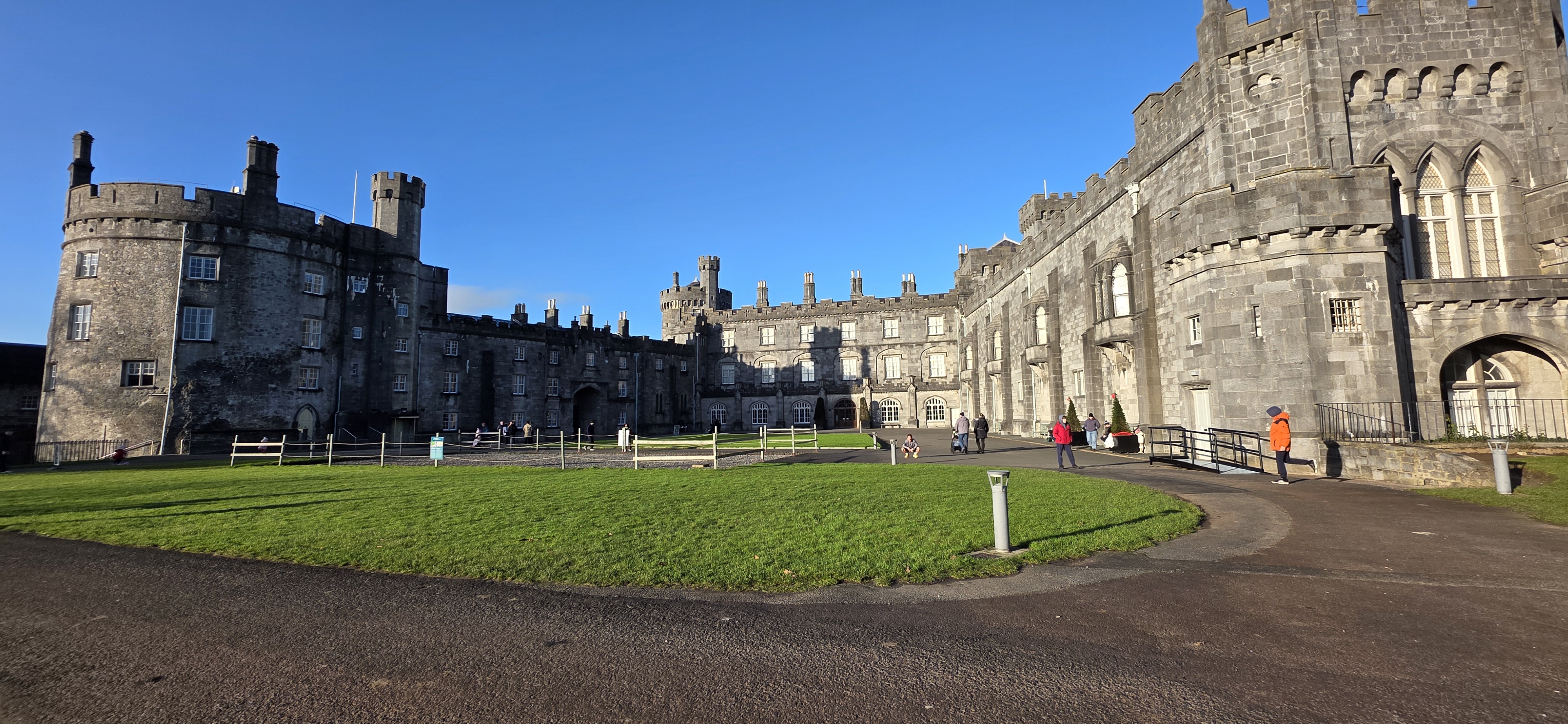
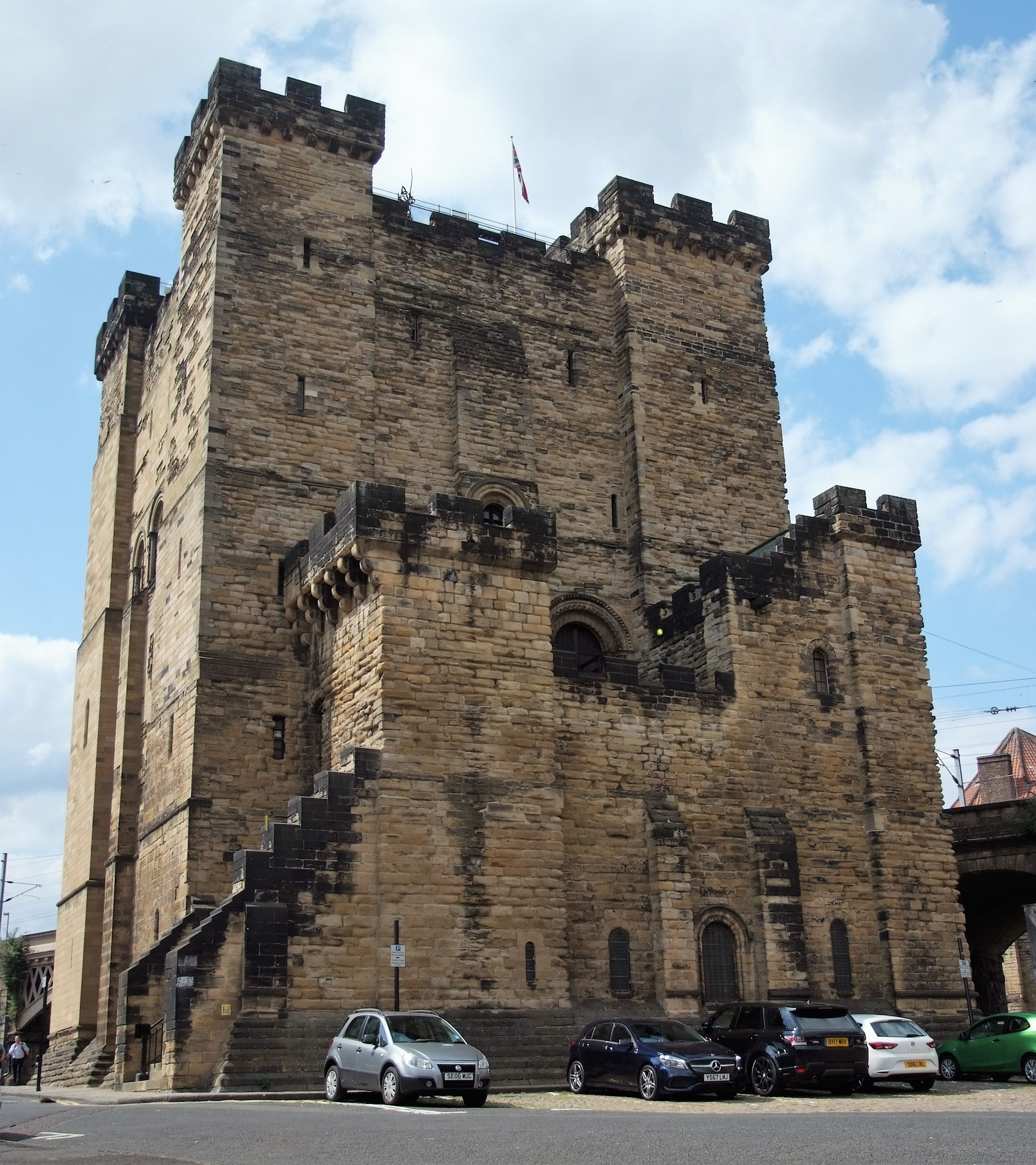
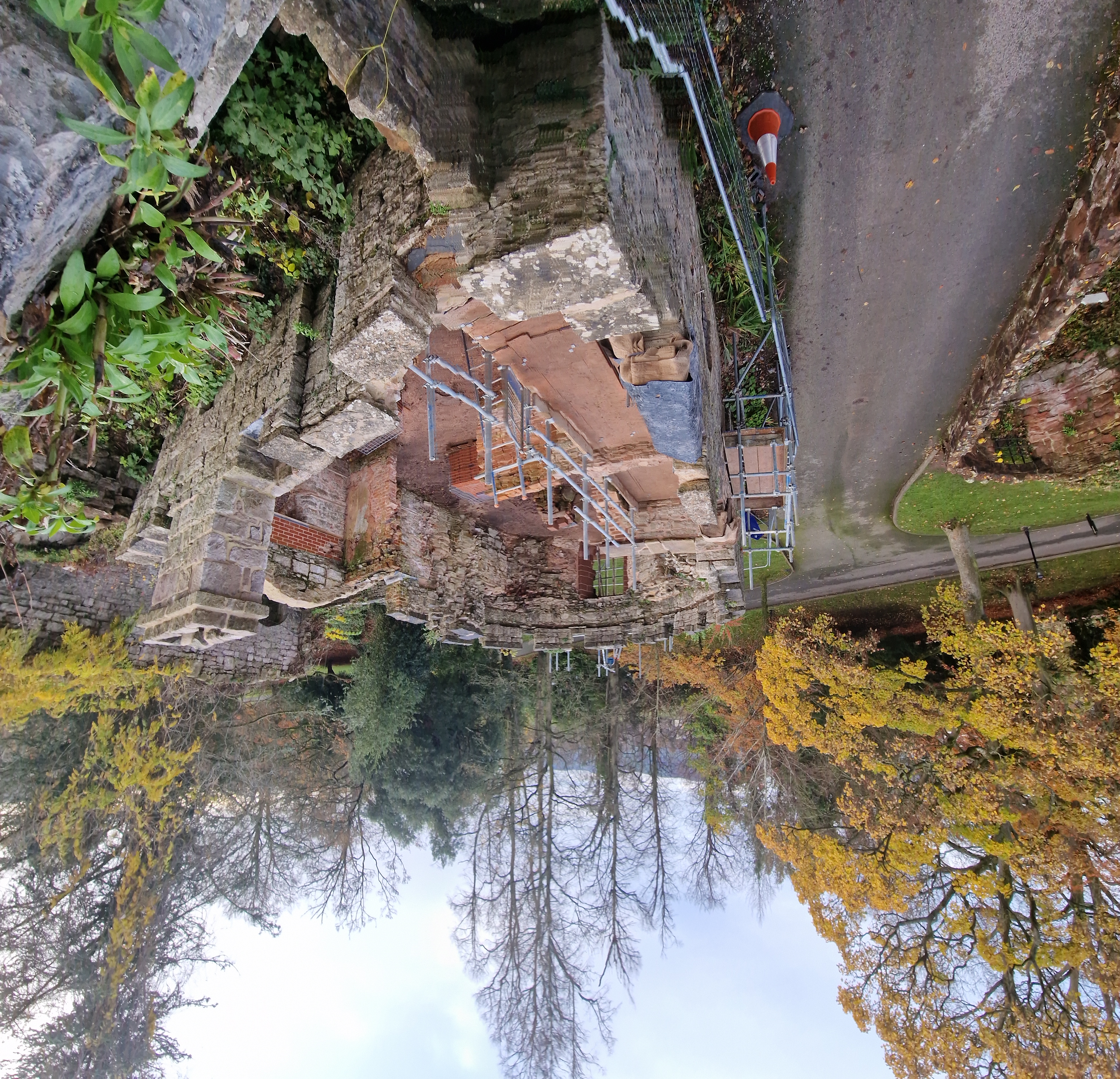
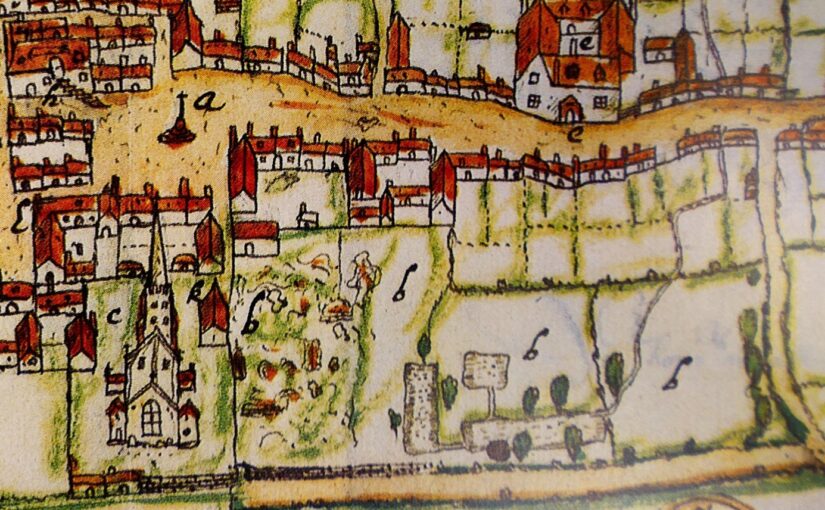
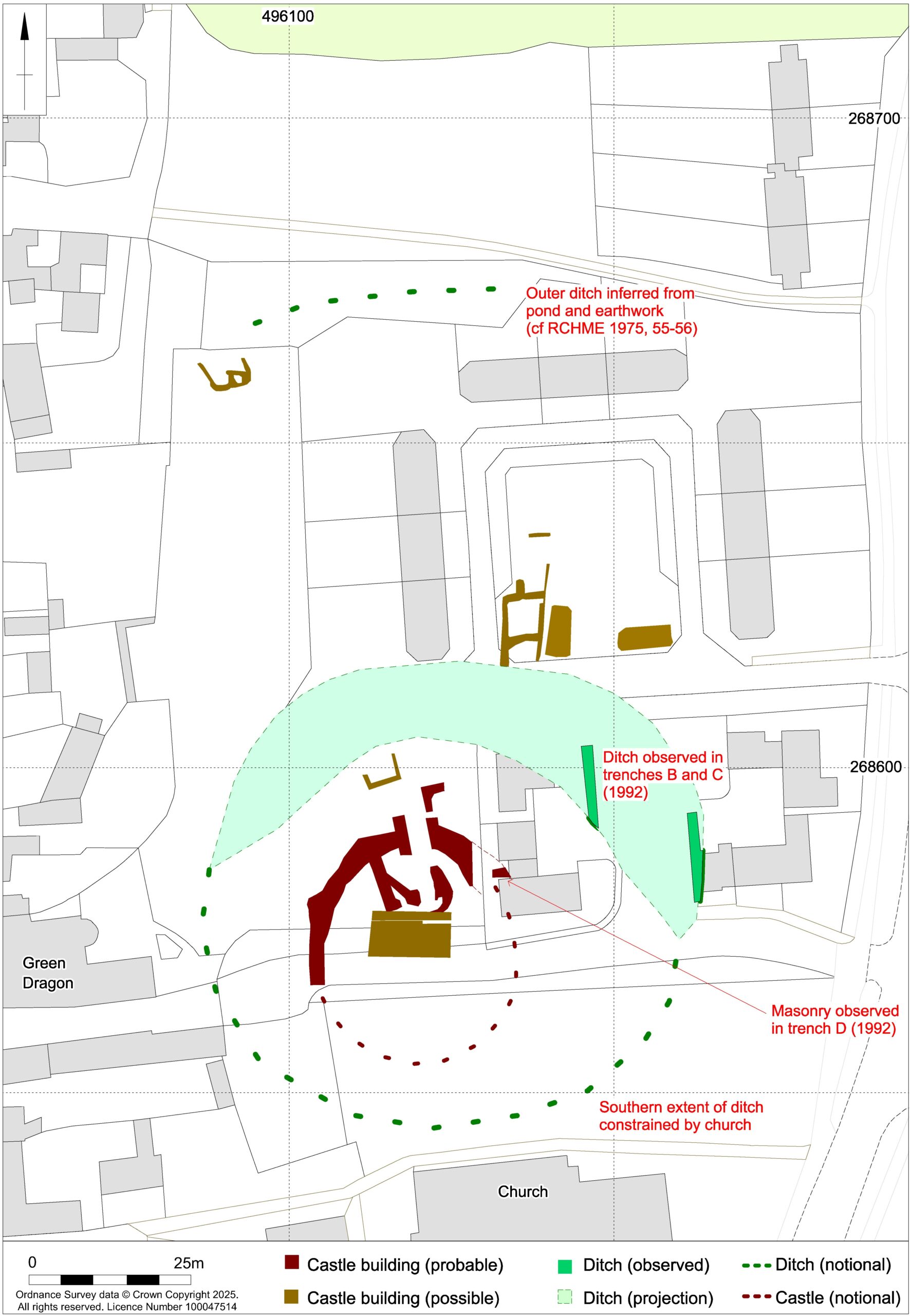
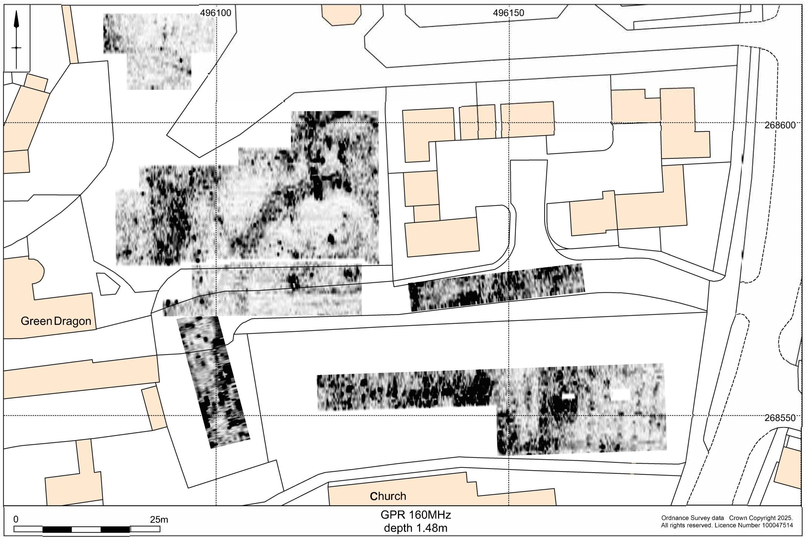
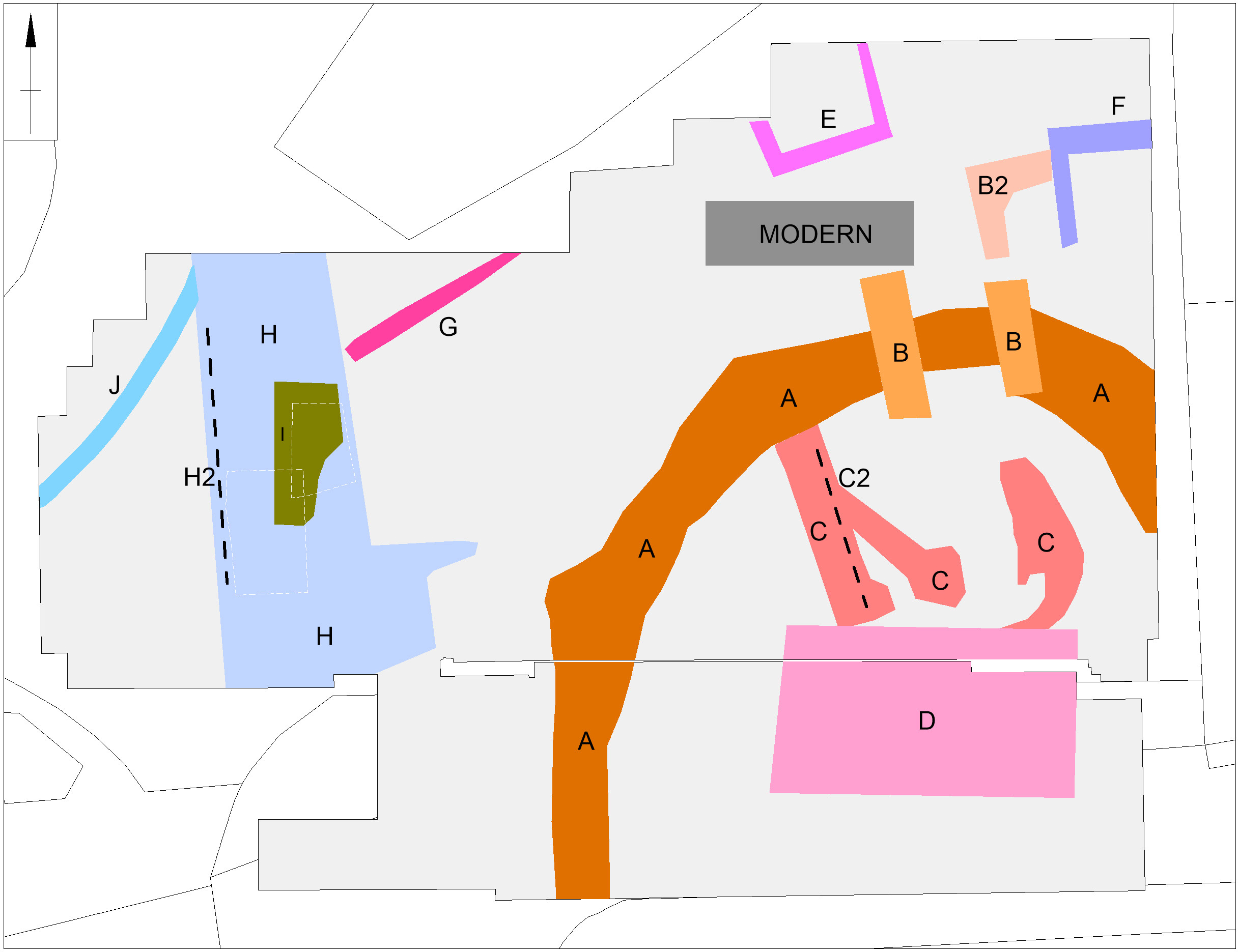
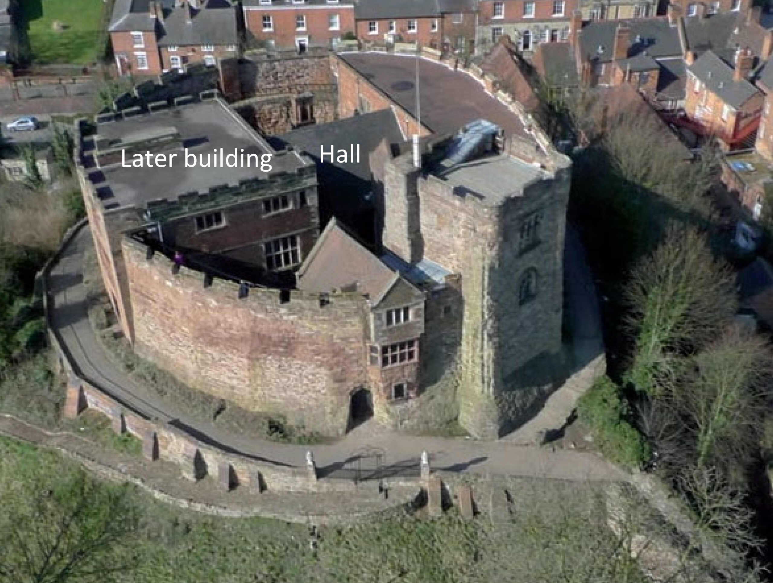
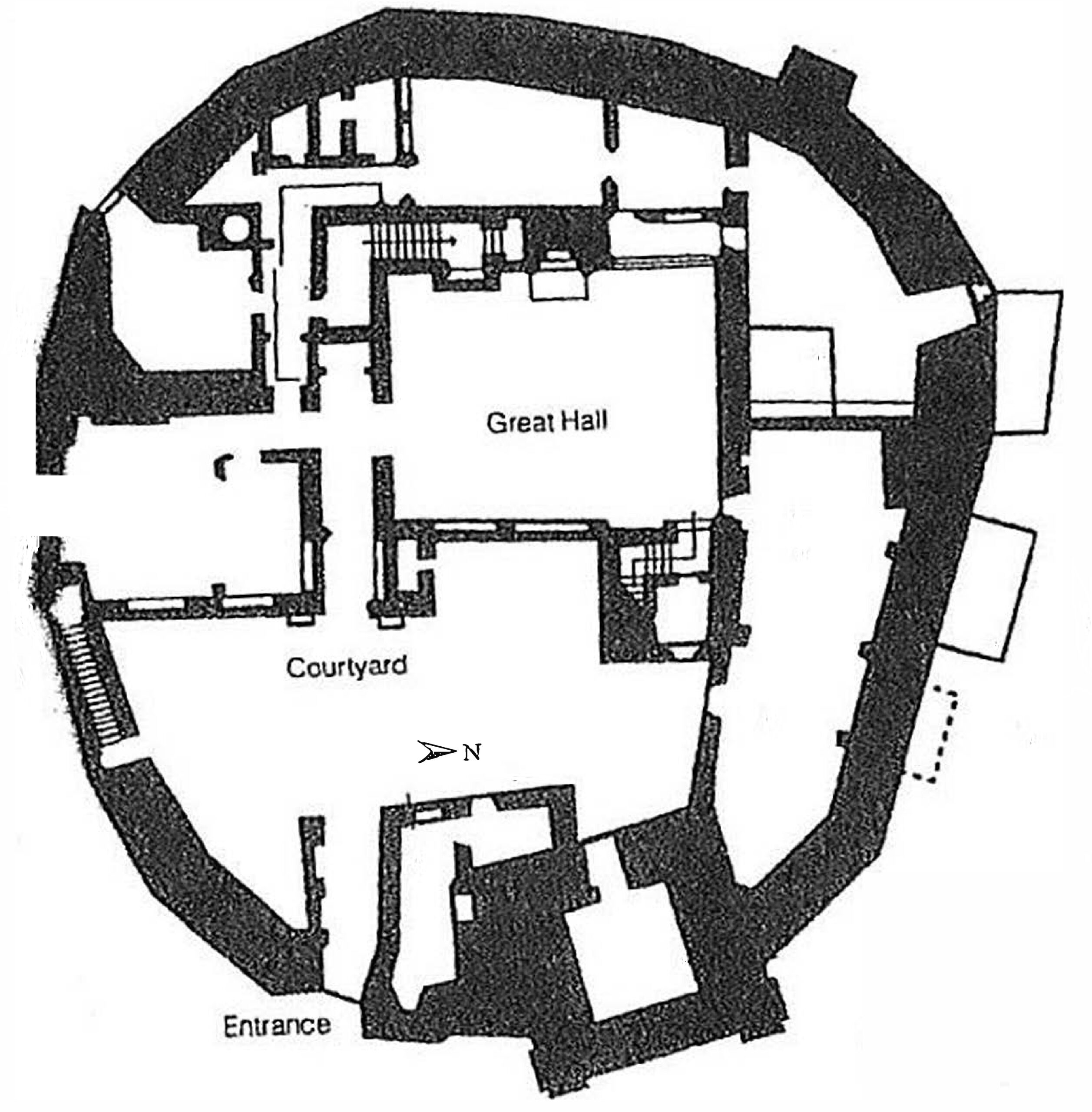
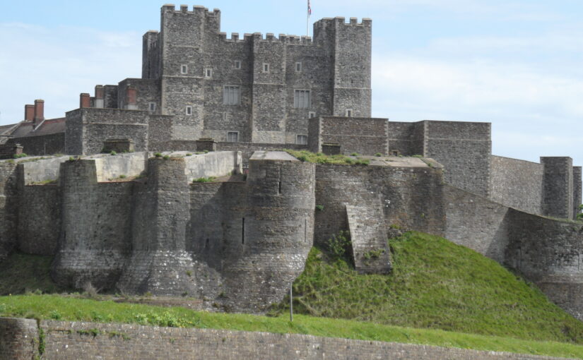
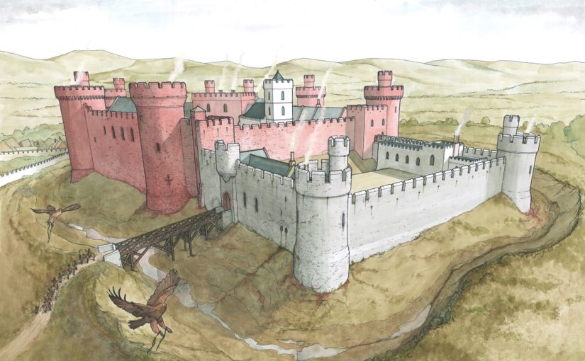
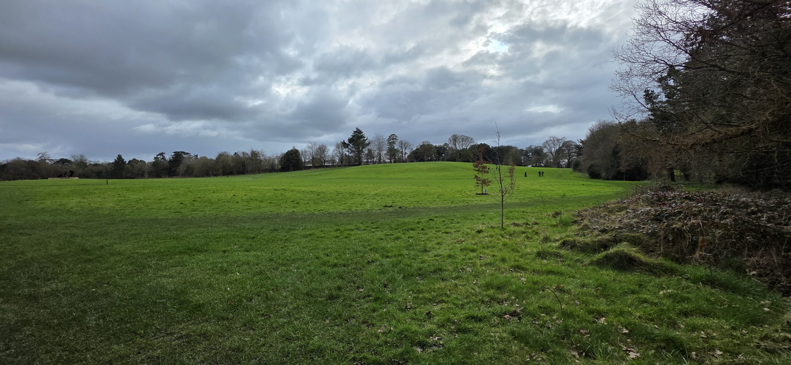
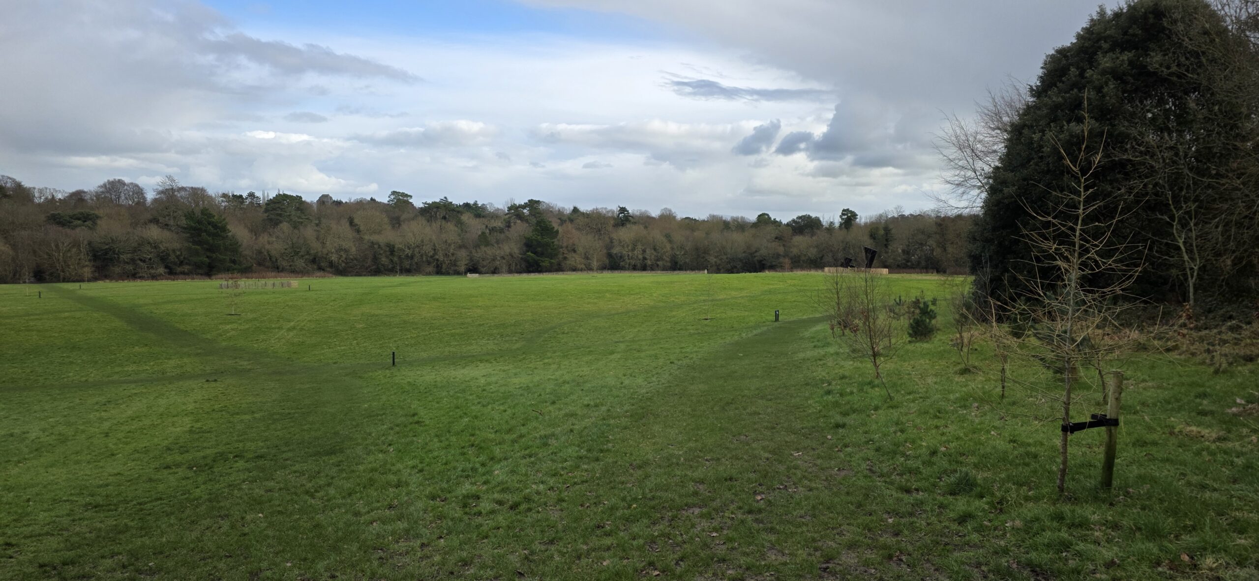
Kilkenny Castle (Figure 1) is one of the great fortresses of medieval Ireland. Built by William Marshal between approximately 1207 and 1213, it still dominates the modern city’s skyline and remains one of the county’s best known historic sites. The standing remains at Kilkenny Castle, however, tell only part of the story. Research over the last decade has shown that the medieval castle complex once extended far beyond the surviving Inner Ward into what is now open public parkland. A geophysical survey in 2010, followed by excavation in 2019, confirmed the position of the great gatehouse and revealed that the castle’s original layout was far more complex than had long been assumed. That earlier work also identified a dense area of subsurface archaeology, including defensive features, routeways and elements of a designed landscape in the outer park. The new project will target the one major area of the castle landscape that remains unexplored, the Dukesmeadow (Figure 2 & 3), which is also the most likely location of Flemingstown.
Flemingstown appears to have been a purpose-built settlement connected to the castle and associated with Flemish settlers. It was probably established in the early thirteenth century to house Flemish weavers, millers and other artisans, either drawn from Pembrokeshire or from Flanders itself. The settlement is first recorded in 1339 as Villa Flemang. By 1413 it seems to have been largely deserted after its inhabitants were moved to Danesfort by the earl of Ormond. Even so, later writers still described traces of an extensive former settlement surviving near the castle, including the mid seventeenth century Bishop of Ossory, David Rothe. LiDAR evidence also suggests that traces of this settlement may survive in the lower parkland in the form of earthworks, possible plot boundaries, enclosures and a hollow way.
This makes the project significant not only for Kilkenny, but for castle studies more generally. Castles were not simply defensive structures or elite residences. They were also centres of economic activity, planning, movement and display. Flemingstown offers a chance to examine Kilkenny Castle as the centre of a broader lived-in landscape, and to investigate the role of an immigrant artisan community within that setting. It may be the only attested example in Ireland of a purpose-built colonial castle settlement established specifically for an immigrant artisan community. If that can be demonstrated more clearly on the ground, it will give the site importance well beyond Kilkenny itself.
Subscribe to our quarterly newsletter
The team will use magnetic gradiometry across the Dukesmeadow, supported by targeted earth resistance survey on selected features. The aim is to detect buried boundaries, routeways, possible plot divisions, structures, pits or industrial features, and perhaps elements of an enclosing circuit. In practical terms, success would mean producing the first clear interpretative map of Flemingstown’s extent and internal organisation, while also clarifying how it related to the Outer Ward, surrounding meadows and approach routes into the castle complex. Just as importantly, the survey should identify the best targets for future research.
This project is therefore about recovering a missing part of Kilkenny Castle’s story. By identifying what survives beneath the parkland, the survey will provide the foundation for future research. It will also help bring back into view a forgotten community that once stood at the edge of one of medieval Ireland’s most important centres of power. For visitors to Kilkenny Castle, that promises a richer and more complete picture of the monument, not just the great fortress that still stands, but the wider lived in landscape that made it work.
The project team would like to thank the donors and patrons of the Castle Studies Trust for their generous award, which has made this project possible. We would also like to thank The Discovery Programme’s CEO Dr John O’Keeffe, Projects Manager Clare Lancaster, the National Monuments Service, and the Office of Public Works, especially Albert Jordon and Colm Mangan, for their assistance with this project.
Go raibh míle maith agaibh go léir.