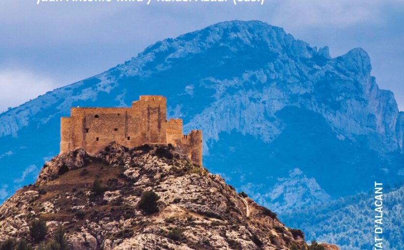
Juan Antonio Mira Rico, one of the co-editors of a new book (in Spanish and Valencian) on the castles and towers of Alicante looking at how to resurrect interest and use of once much neglected buildings.
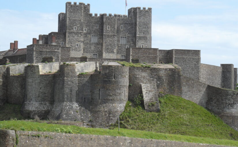
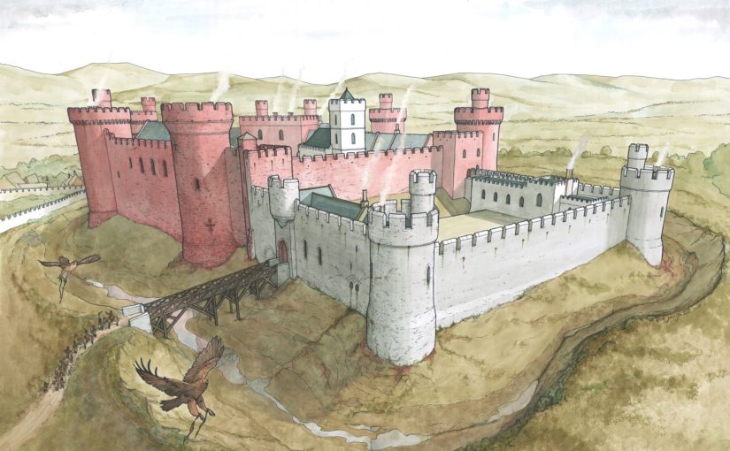
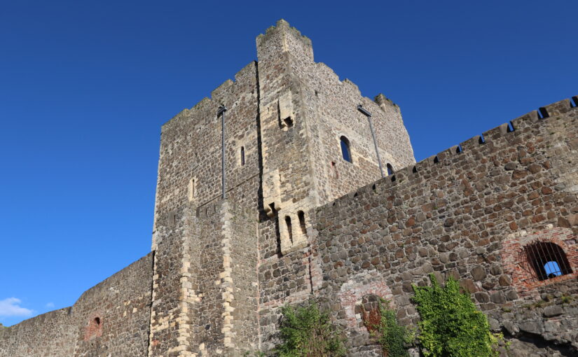
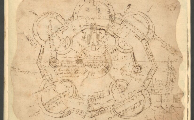
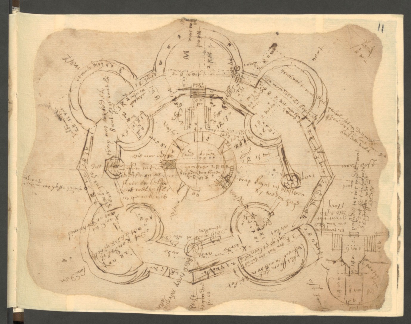
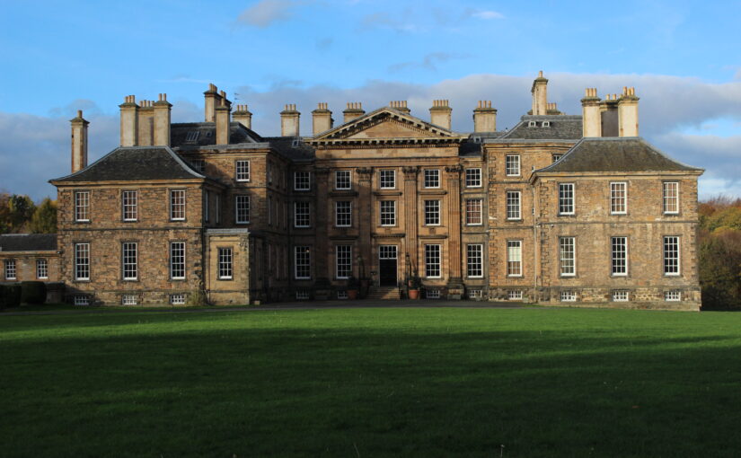
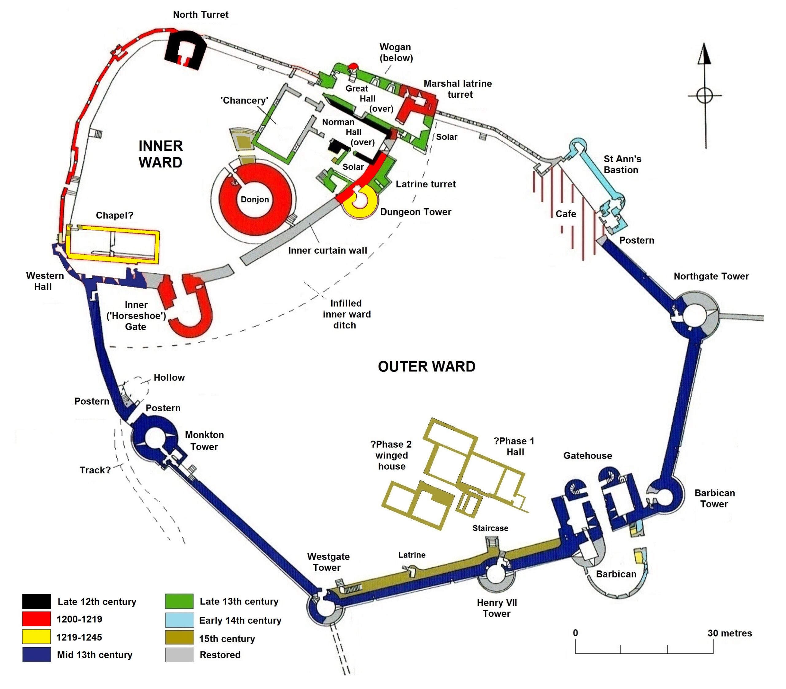
The historical dynamics of the present-day province of Alicante, between the 11th and 15th centuries, fostered the proliferation of castles and towers across its mountains. During this era, these lands constituted a contested territory of fluctuating borders: firstly, as part of Šarq Al-Andalus and, subsequently, under the Crowns of Aragon and Castile.
Subscribe to our quarterly newsletter
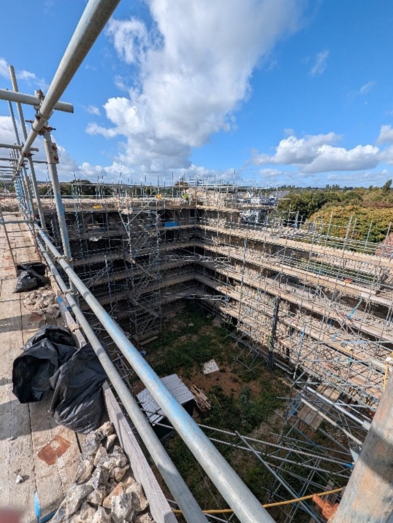
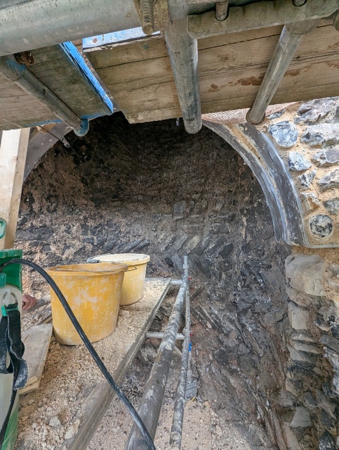
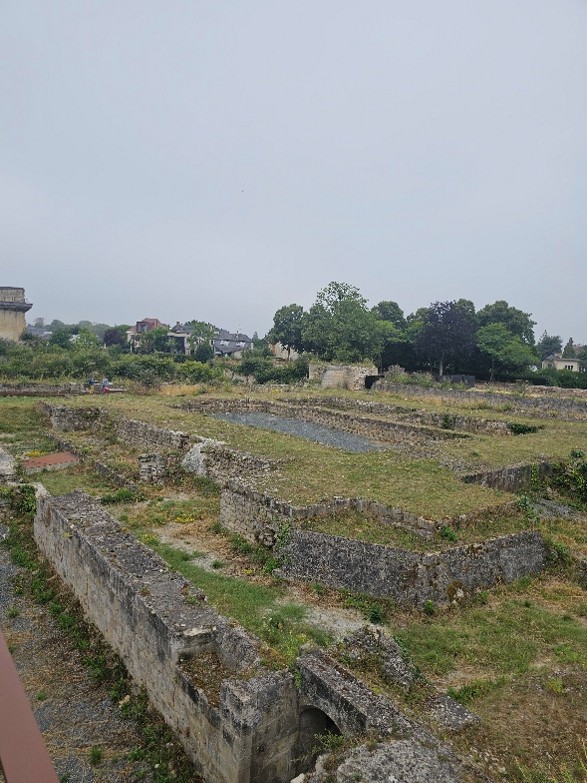
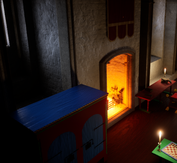
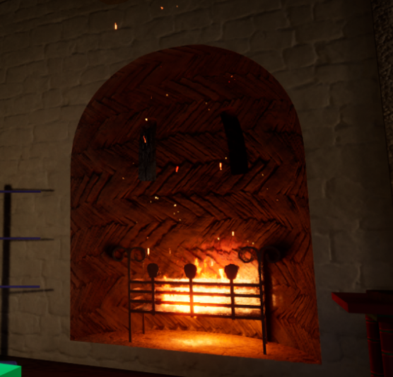
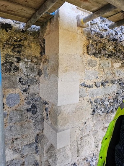
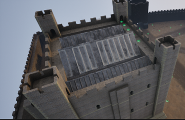
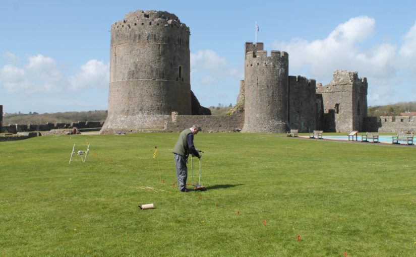
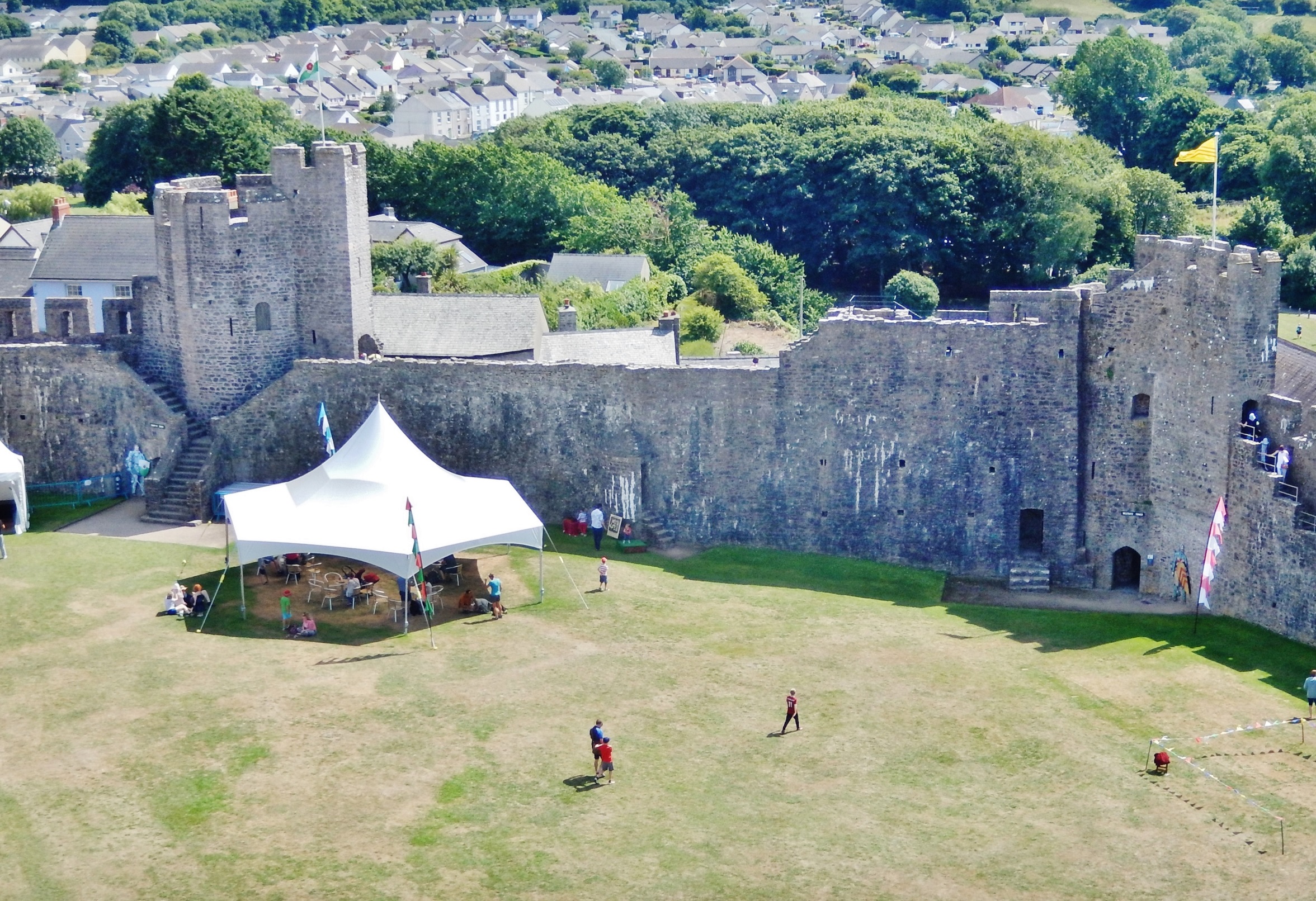
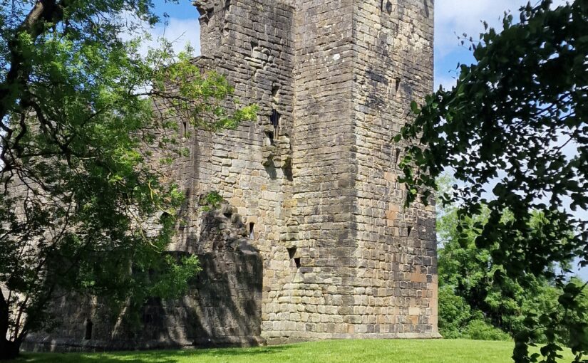
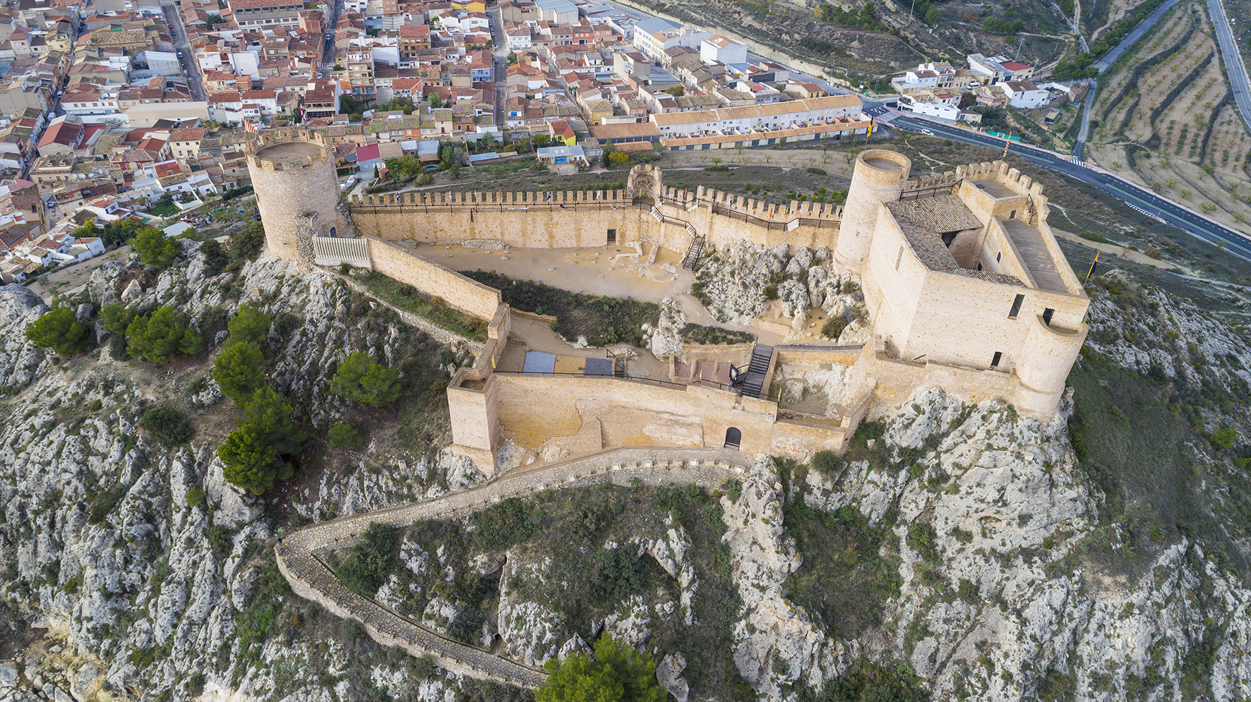
These medieval fortifications are fundamental landmarks that structure the landscape of Alicante and are key to understanding its history, heritage, and tourism dynamics. However, after losing their military function, they fell victim to centuries of neglect. It was not until the second half of the 20th century that their immense value began to be vindicated; recently, many of these structures have been recovered and adapted for visitors, transforming into exhibition and cultural spaces. This process of recovery and enhancement has consolidated a unique heritage asset which, through adequate planning and the use of new technologies, may emerge as a cornerstone of significant economic relevance.
In this context, Castillos y torres de Alicante (Castles and Towers of Alicante) was conceived as a work of dissemination that seeks to transcend classical approaches (archaeological, architectural, and historical). The book focuses exclusively on those visitable castles and towers; that is, those possessing a good state of conservation, regular opening hours, and interpretive facilities to facilitate an understanding of their history.
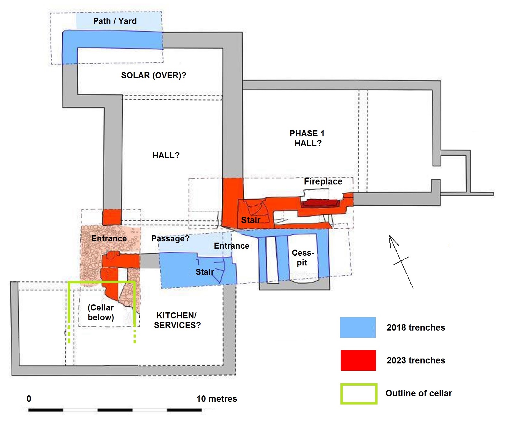
The backbone of this publication consists of the basic data regarding these assets, structured by comarcas (districts) through datasheets that facilitate visit planning. Complementing these are chapters by various specialists addressing geography, architecture, history, cultural management, and the potential of ICTs in tourism development. This multidisciplinary approach is essential for offering a global and updated vision.
Specifically, the chapter Más allá de la arqueología (Beyond Archaeology) analyses the cultural management of these fortifications. The public cultural management model predominates in the province, similar to that of France or Italy, characterised as being decentralised (competence lies with the Autonomous Community, but daily management is municipal) and simple (the City Council is the sole principal agent).
Nevertheless, new formulas are beginning to emerge, such as the mixed cultural management model implemented at the Santa Bárbara Castle (Alicante). This system is equally decentralised yet complex, as it involves two agents: a public administration (the City Council) and a private company. This constitutes a partial privatisation of management, the long-term results of which remain to be determined.
Subscribe to our quarterly newsletter
Furthermore, the cultural uses of numerous municipally owned castles, as well as their optimal state of conservation, are linked to the territory’s tourism function. It is worth noting that the province of Alicante, under the Costa Blanca brand, is established as one of Spain’s main tourist destinations.
In this context, these fortifications can be classified into two distinct categories. The first category encompasses those fortifications presenting the following characteristics:
- Small, medium, or large-scale castles whose restoration, although not concluded, is sufficiently advanced to allow for visits.
- Limited cultural and tourism use, consisting of self-guided, guided, and dramatized tours, on a sporadic or continuous basis, with basic heritage facilities.
- Generally, the absence of a fixed visiting schedule.
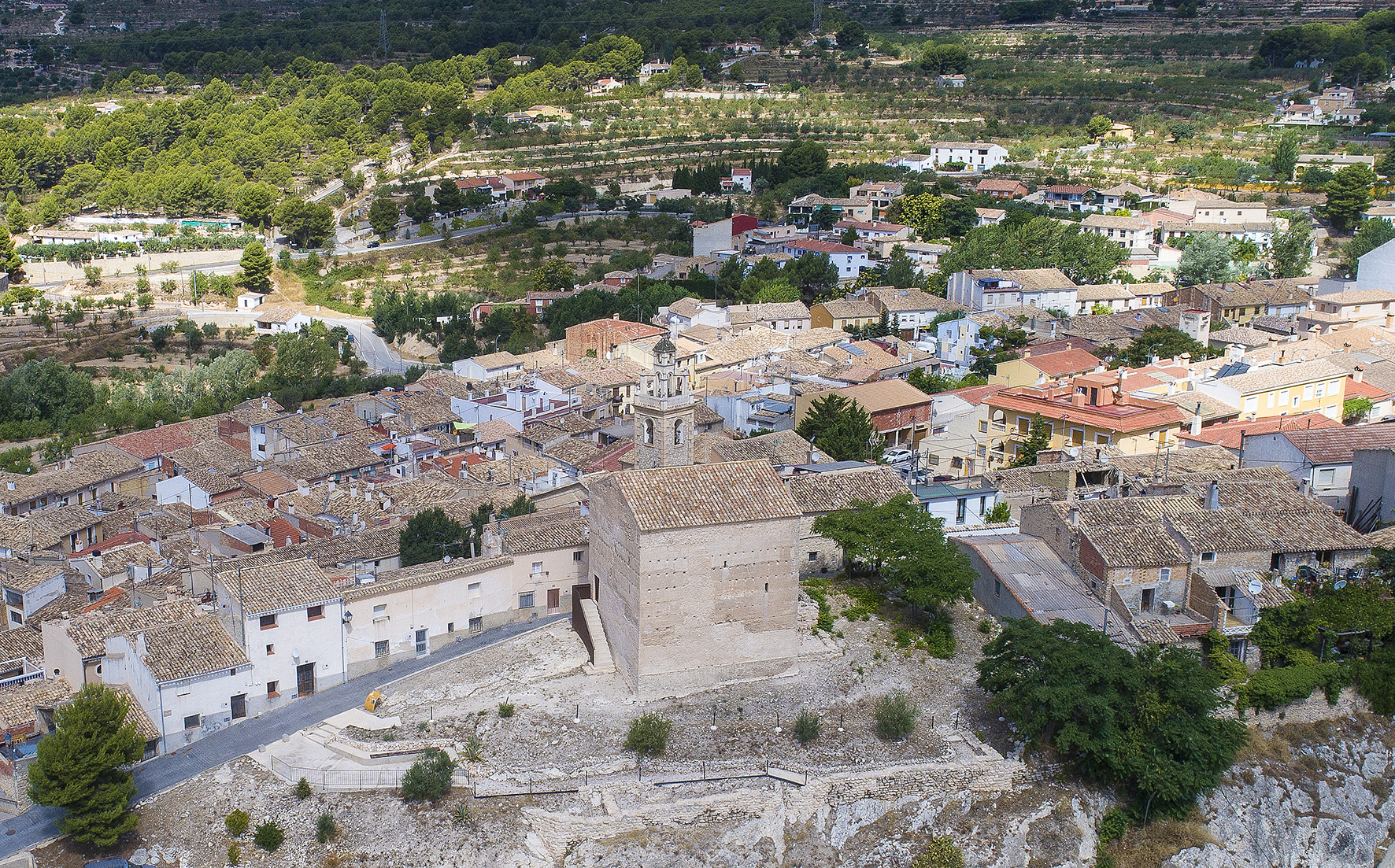
- Inclusion in this group of small fortifications, such as the Castle of Orba, and others of medium size, such as the Castle of Torre Grossa (Xixona).
The second category is characterized by:
- Medium and large-scale fortifications whose restoration has been completed or is nearing conclusion.
- Intensive cultural and tourism use with guided or self-guided tours, as well as occasional dramatized tours, combined with other non-exclusive uses coexisting within the same fortifications:
- Exhibition spaces: Castles used for exhibitions, such as the Castell de Castalla, a musealized fortification whose contents interpret its history.
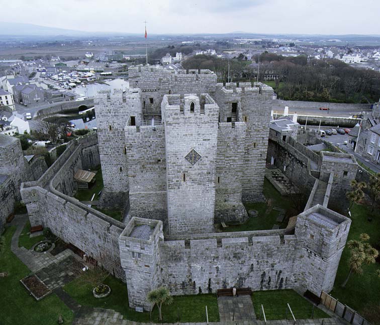
- Museums: Castles converted into museum institutions. The Dénia and Santa Bárbara fortifications, the largest in the territory, house the Archaeological Museum of Dénia and the City of Alicante Museum (MUSA), respectively.
- Events: Castles destined for local celebrations (Banyeres de Mariola Castle), weddings (Atalaya Castle, Villena), conferences (Castell de Castalla), and musical concerts (Santa Bárbara Castle and Dénia Castle).
- Gastronomic experiences: Castles utilized as spaces for tasting local beers and wines (Santa Bárbara Castle).
- Educational purposes: Castles where didactic and pedagogical activities are developed (Castell de Castalla).
- The existence of a stable visiting schedule.
All these uses are developed in accordance with various national technical documents, such as the National Plan for Defensive Architecture (Plan Nacional de Arquitectura Defensiva), and international ones, such as the ICOMOS Guidelines on Fortifications and Military Heritage. These regulations establish that castles must be destined for new cultural uses, always respecting their integrity. In this sense, a sustainable and appropriate reuse of fortifications is advocated to avoid the destruction of their authenticity, converting them into landmarks for local communities and into spaces of knowledge for the interpretation of military heritage and the transmission of a message of peace, inclusion, and acceptance.
Link to the book in Spanish: https://publicaciones.ua.es/ca/libro/castillos-y-torres-de-alicante_158855/
Link to the book in Valencian: https://publicaciones.ua.es/ca/libro/castells-i-torres-d-alacant_158849/