Dr Nick Hannon of Historic Environment Scotland, project lead and Head of Geophysical Survey, takes a look at the community geophysical survey of Crookston Castle.
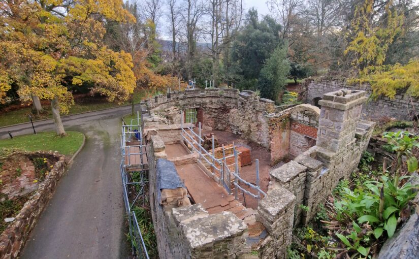
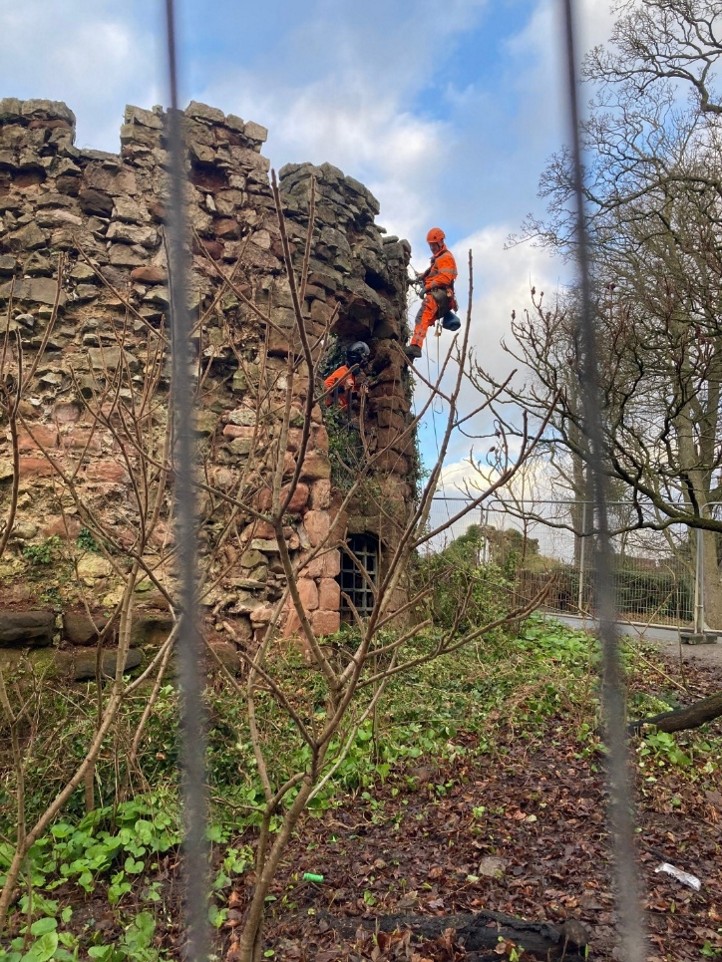
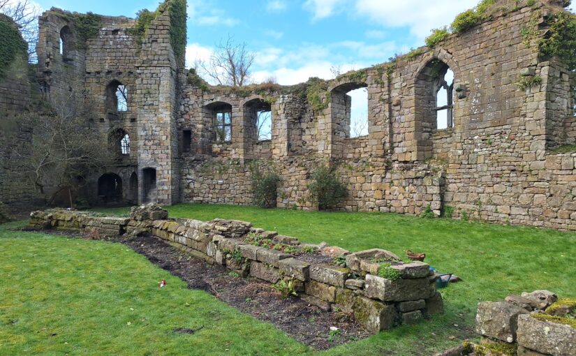
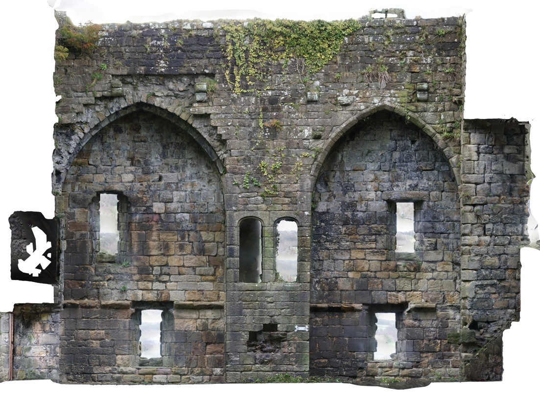
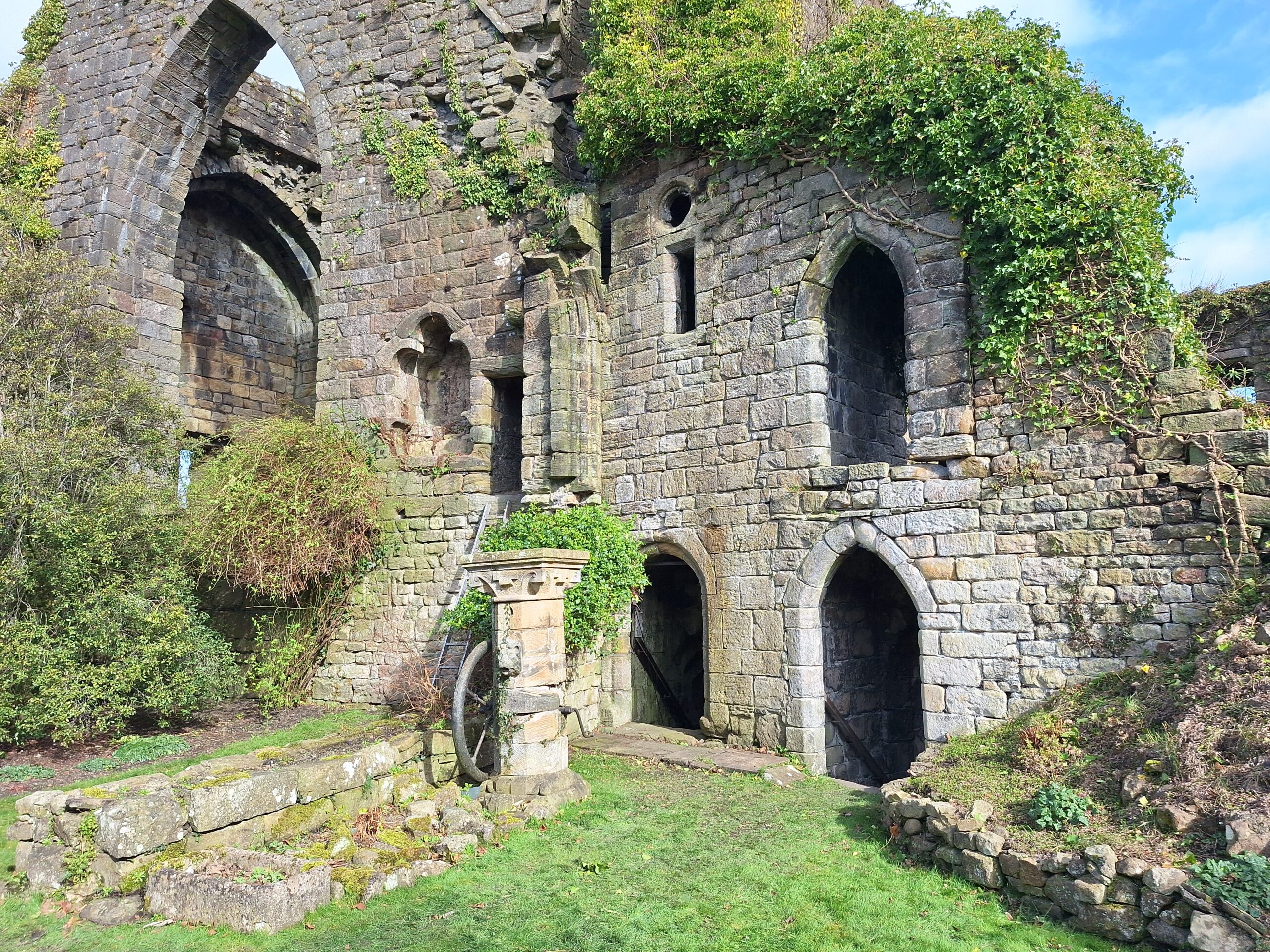
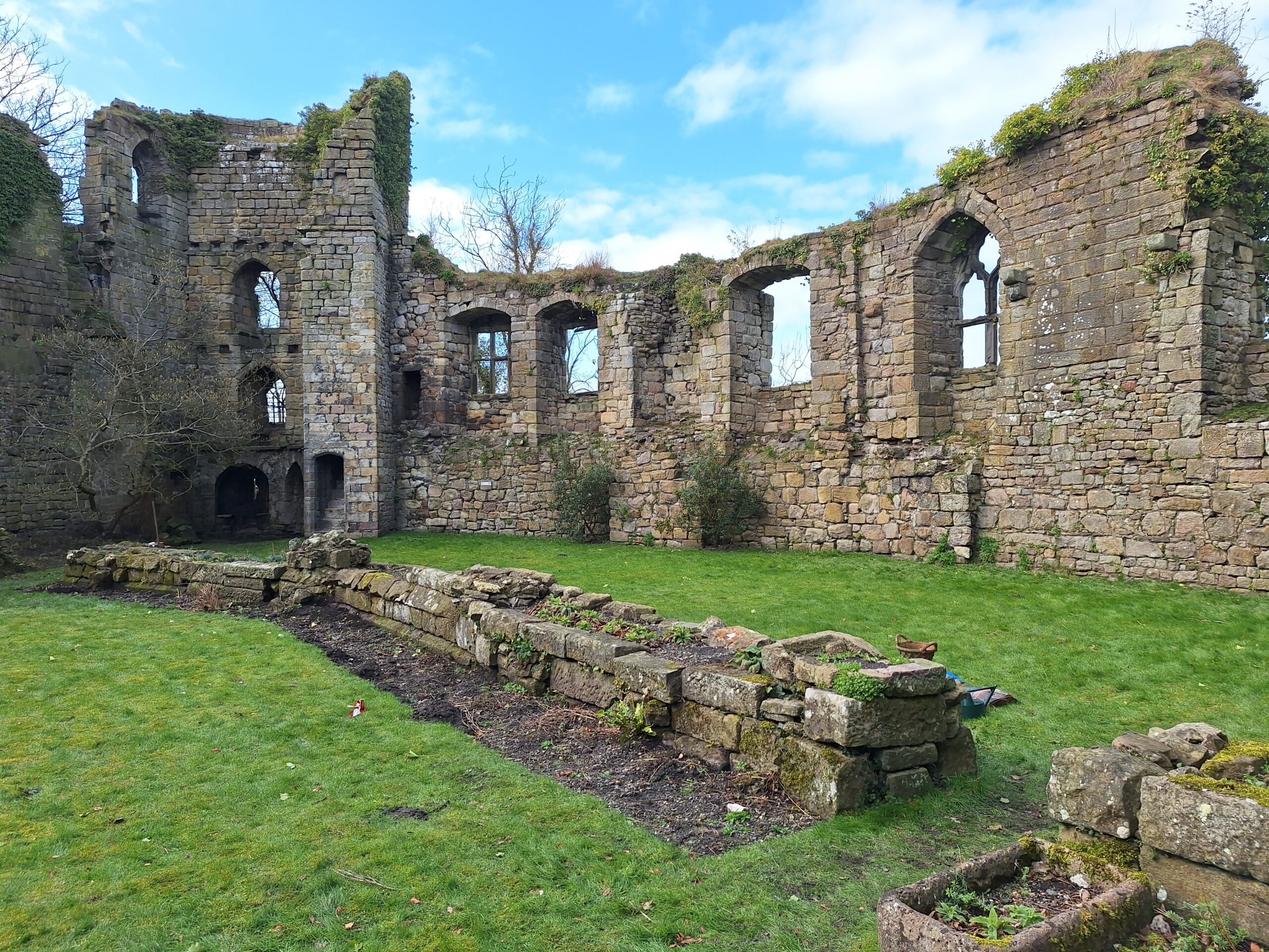
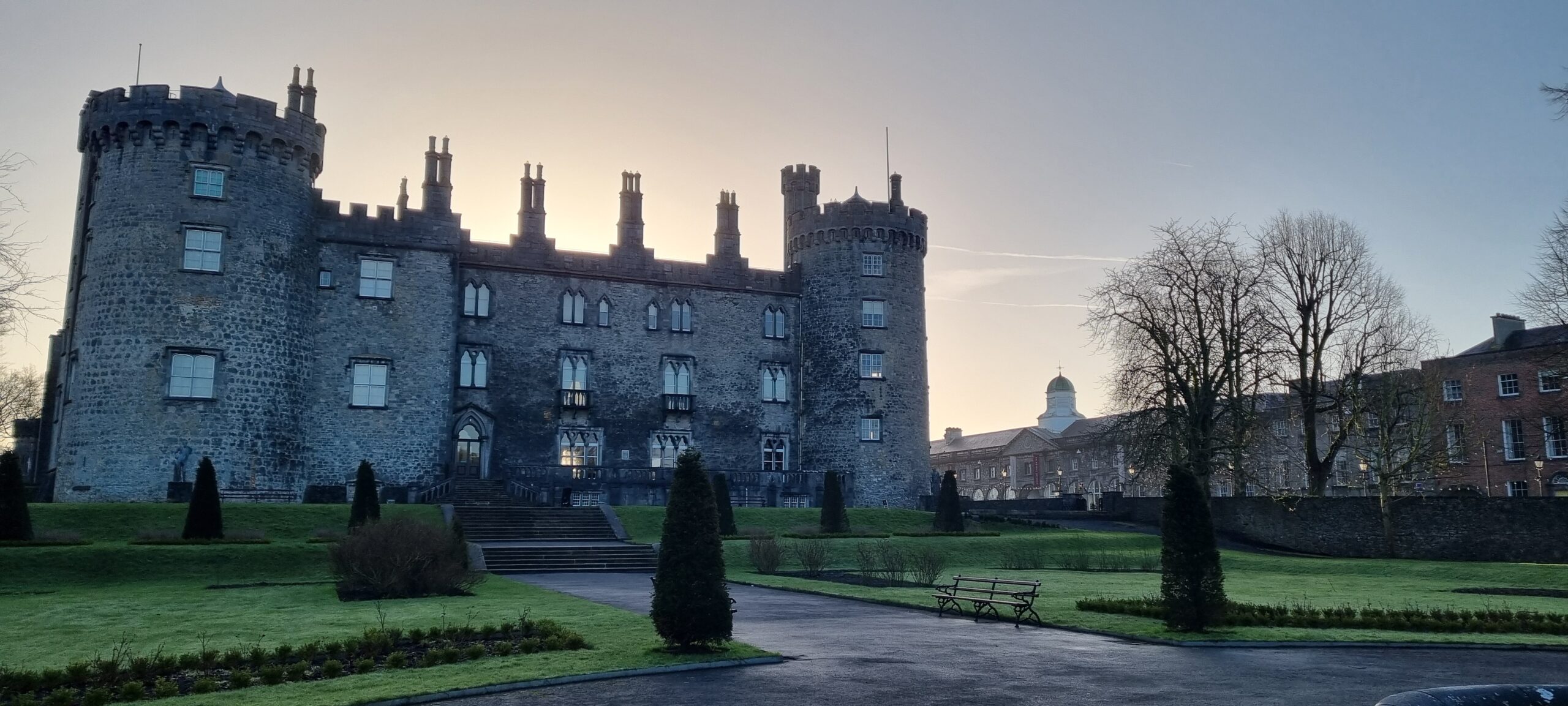
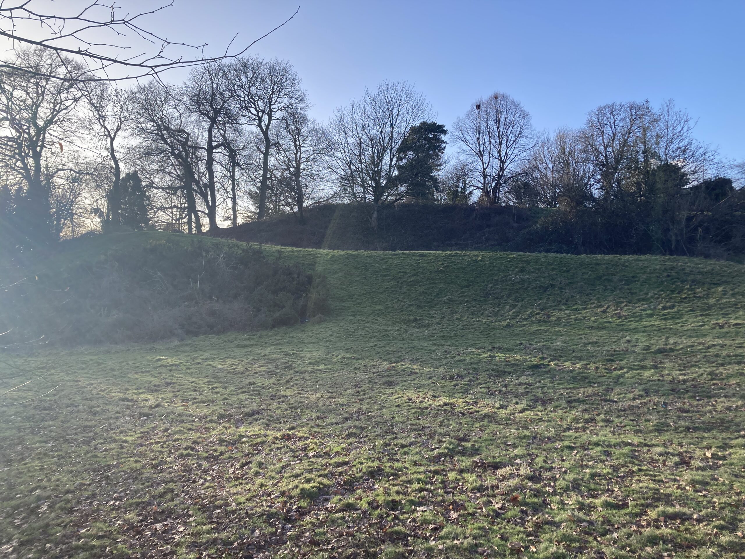
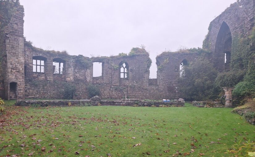
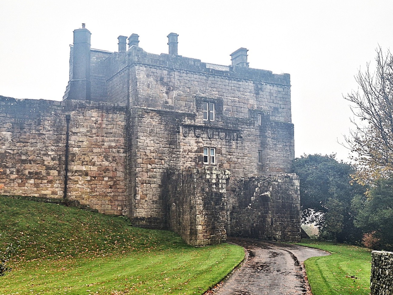
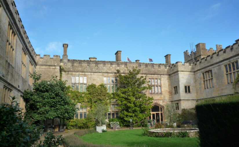
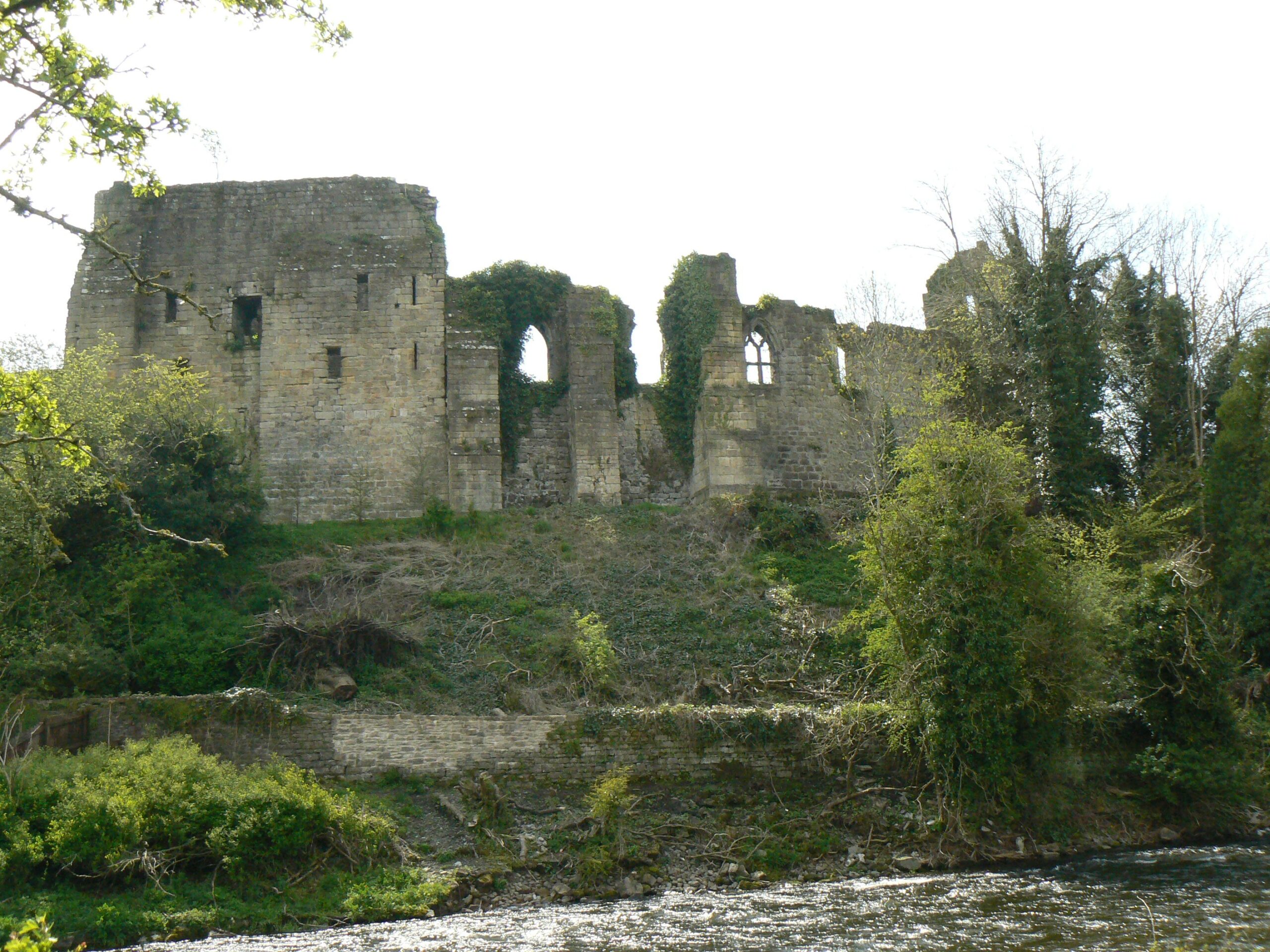
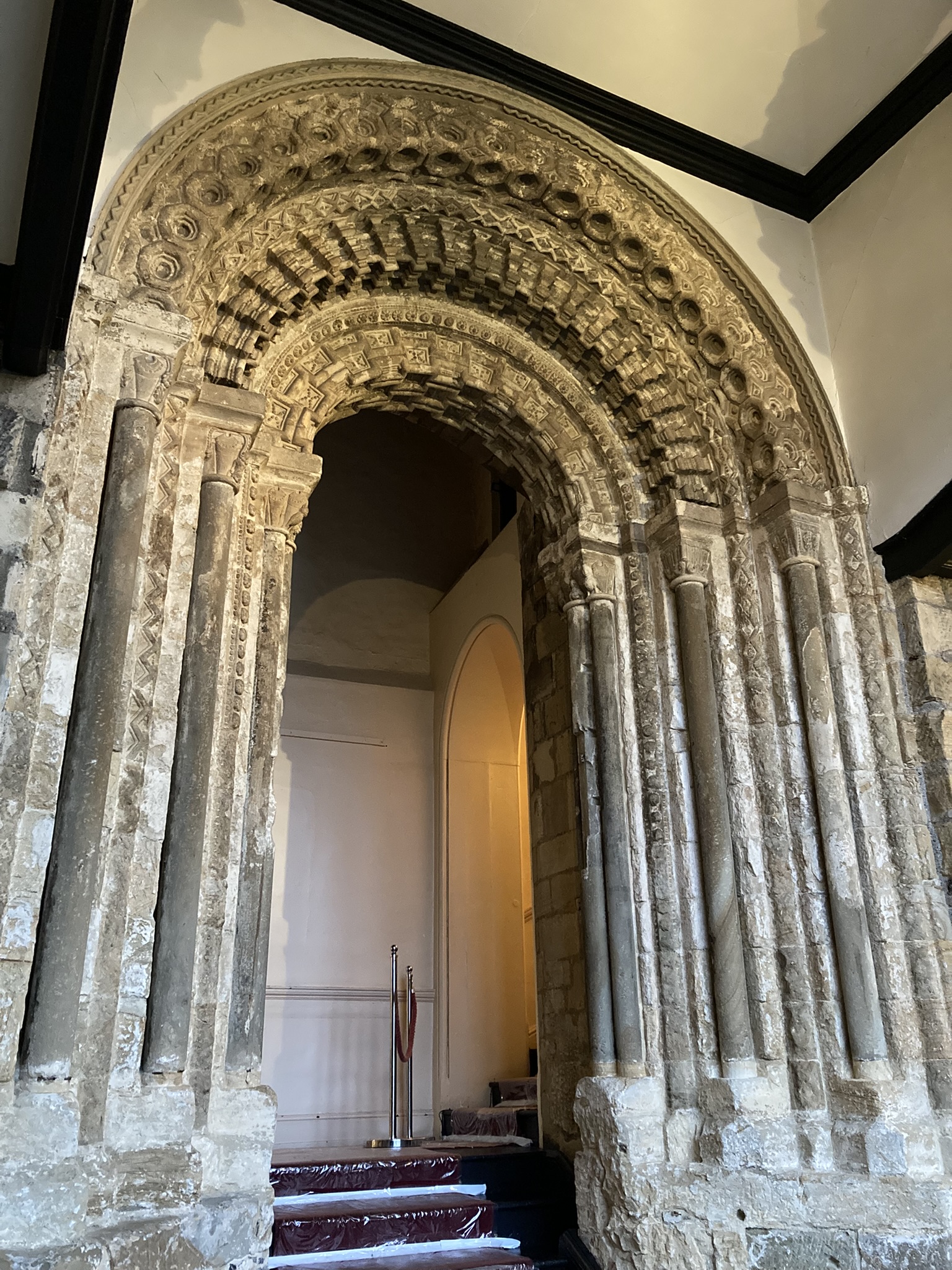
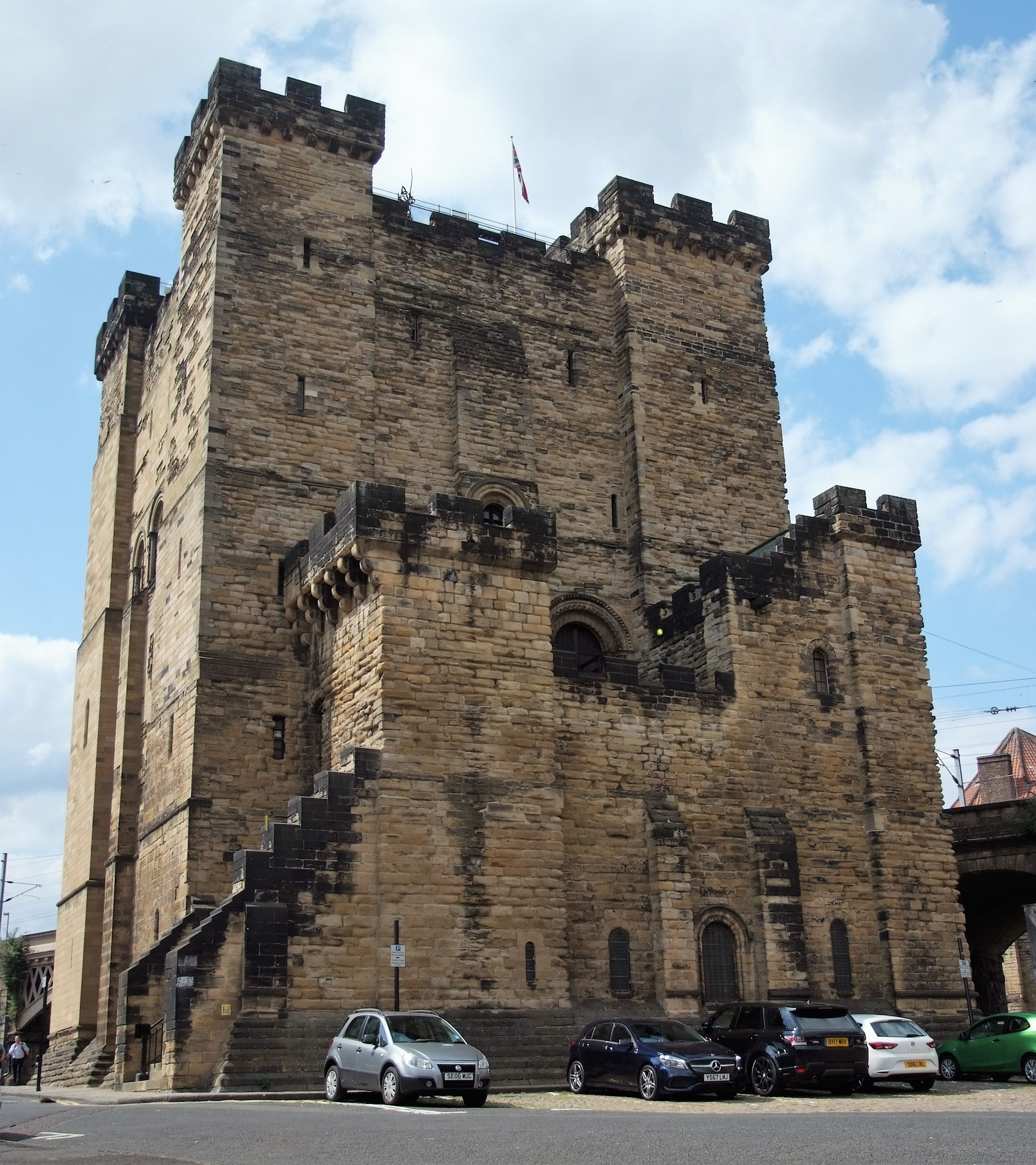
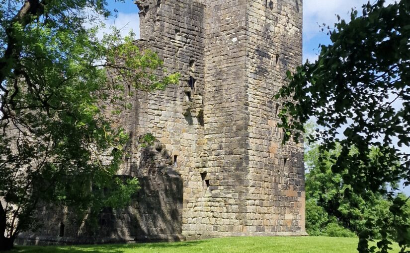
Nestled just 15 miles southwest of Glasgow, Crookston Castle stands as a beacon of Scotland’s layered past. But in August, this historic site became more than a monument—it transformed into a hub of community-led archaeological discovery. Thanks to a collaboration between heritage professionals, local volunteers, and schoolchildren, the Crookston Castle Community Geophysics Project brought the castle’s history to life.
Subscribe to our quarterly newsletter
A Castle, A Community, A Cause
The project was led by Historic Environment Scotland (HES) Archaeological Survey staff—Dr Nick Hannon, Dr Hazel Blake, and Paul Bethune—in partnership with “The Friends of Crookston Castle,” a passionate local group dedicated to preserving and celebrating their heritage. With full funding from the Castle Studies Trust, the initiative aimed to explore what lay beneath the castle’s grounds and surrounding area using non-invasive geophysical survey techniques.
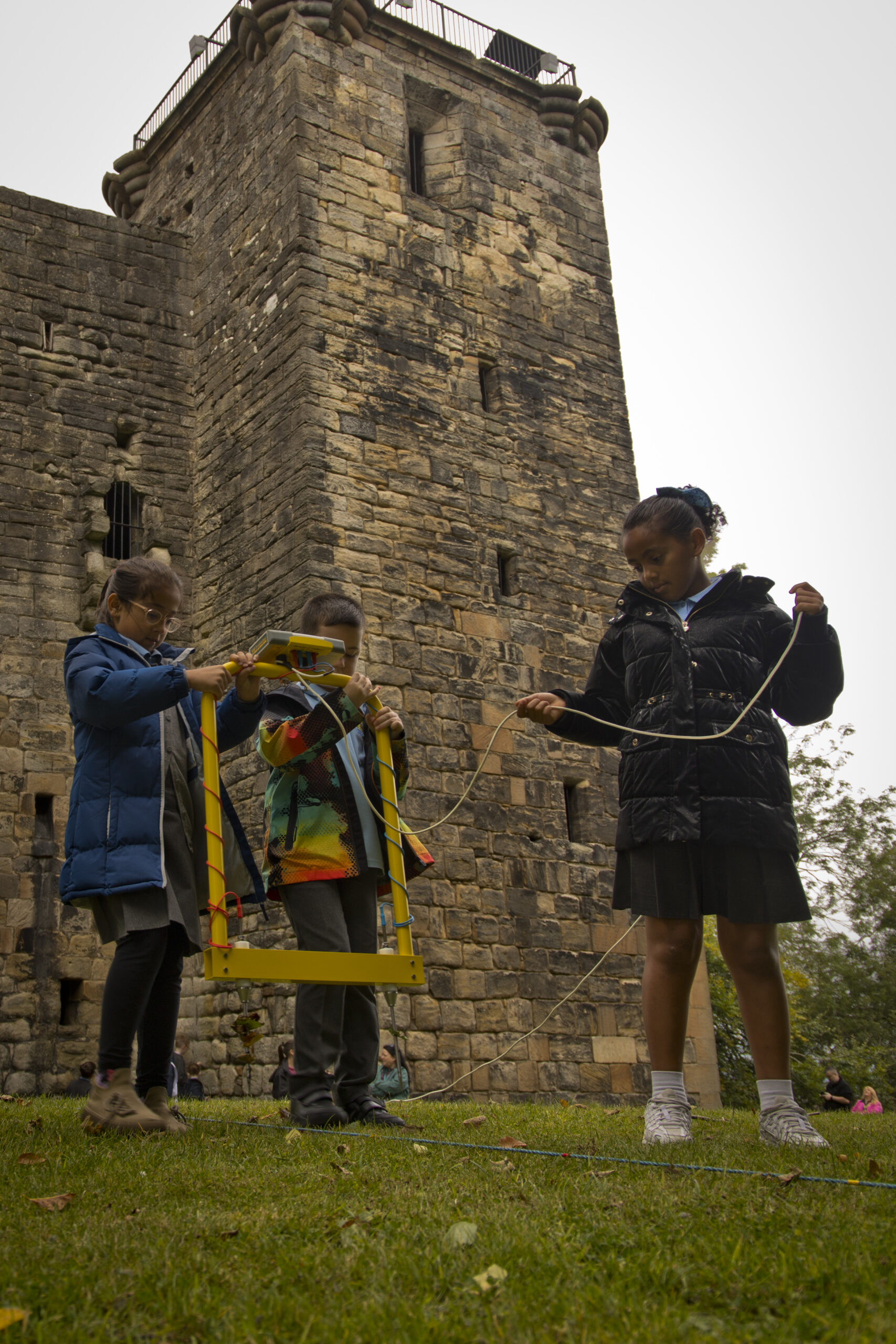
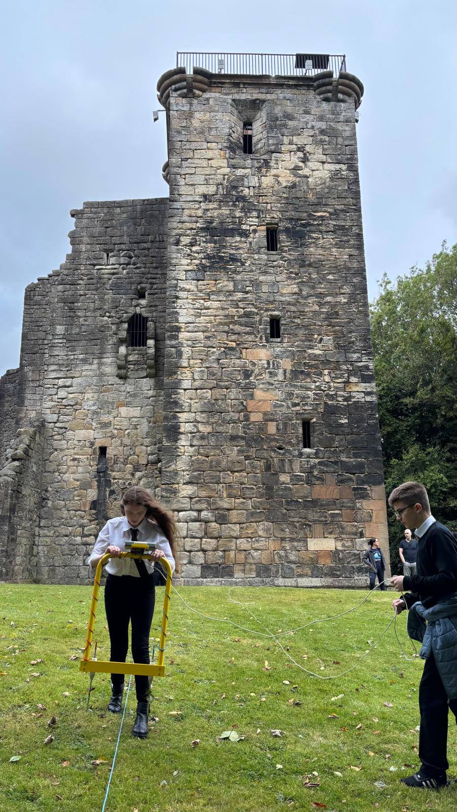
But this wasn’t just a technical exercise. It was a community-driven effort that welcomed volunteers from all walks of life. Students from the University of Glasgow, pupils from five local primary and secondary schools, and residents from the surrounding area all joined forces to uncover the hidden stories buried beneath their feet.
Science meets Storytelling
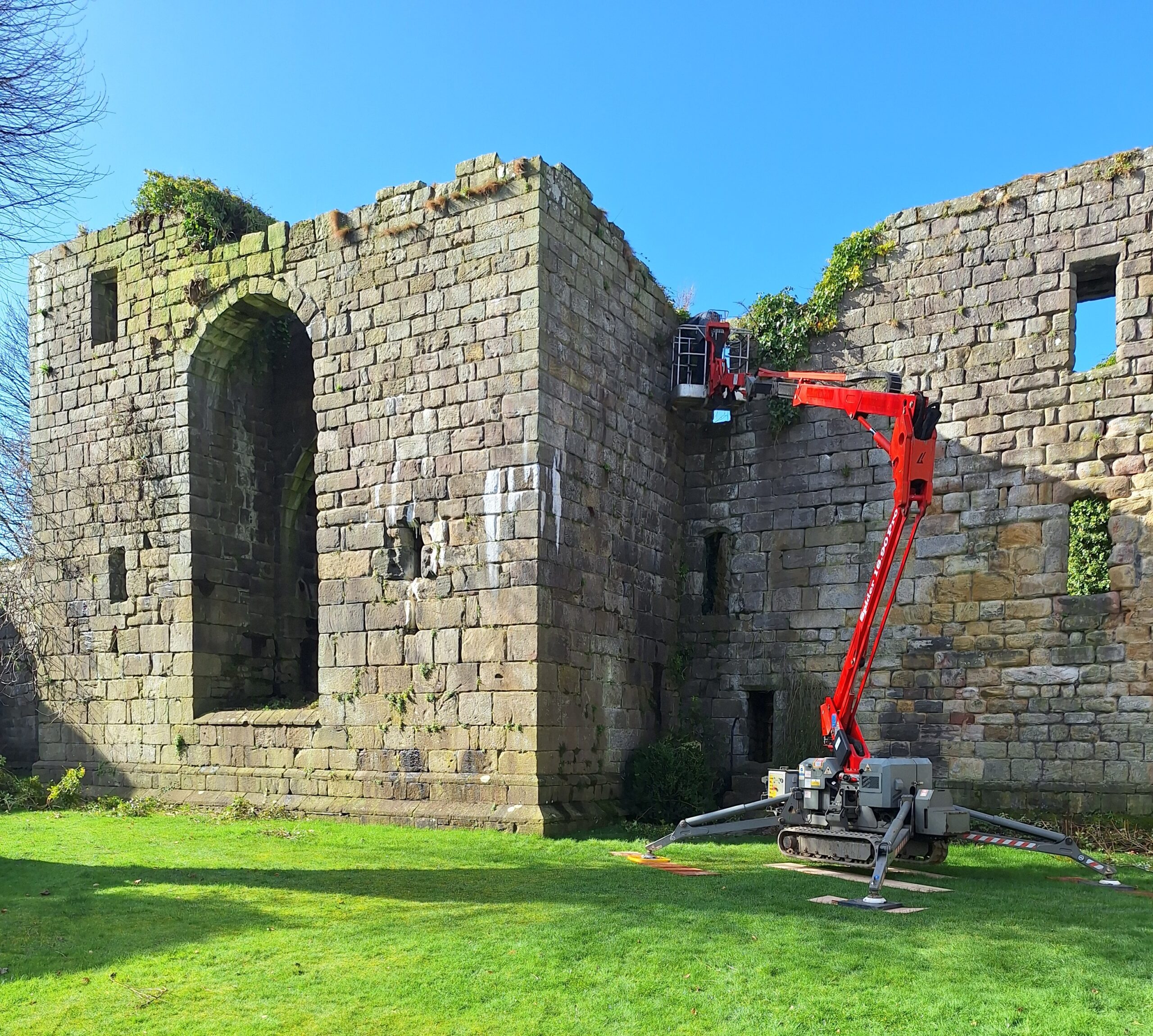
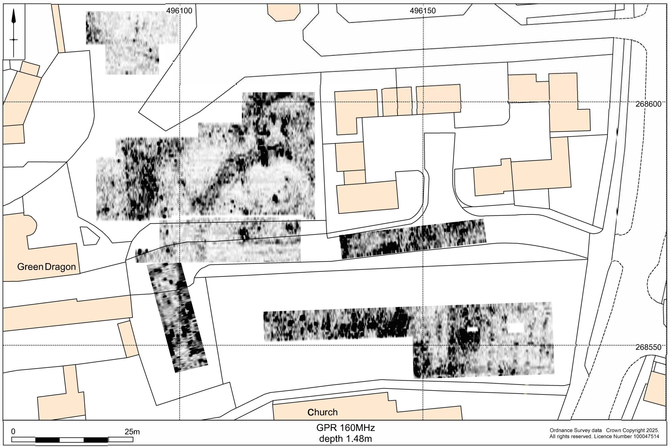
Geophysical surveys are a powerful tool in archaeology. They allow researchers to detect buried features without disturbing the ground—ideal for sites like Crookston Castle, where preservation is paramount. Under expert supervision, volunteers learned how to use these tools to scan the ground, searching for traces of ancient structures and activities.
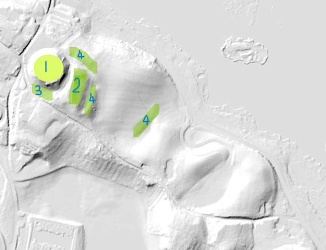
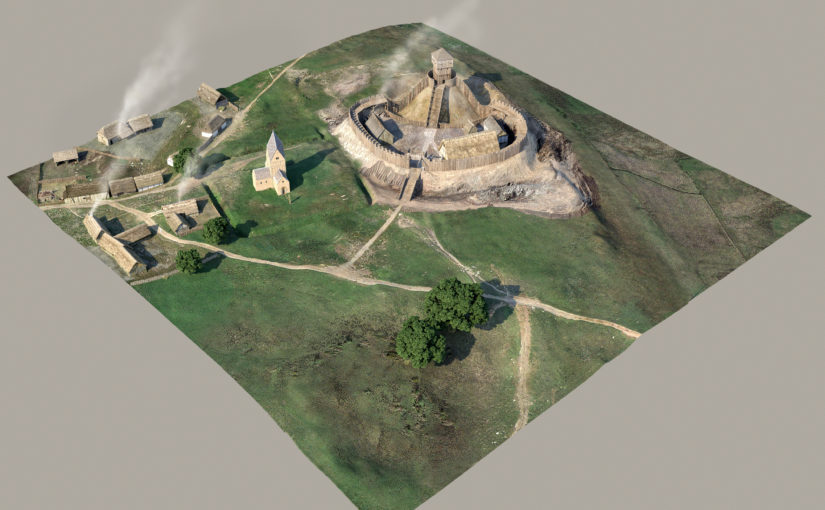
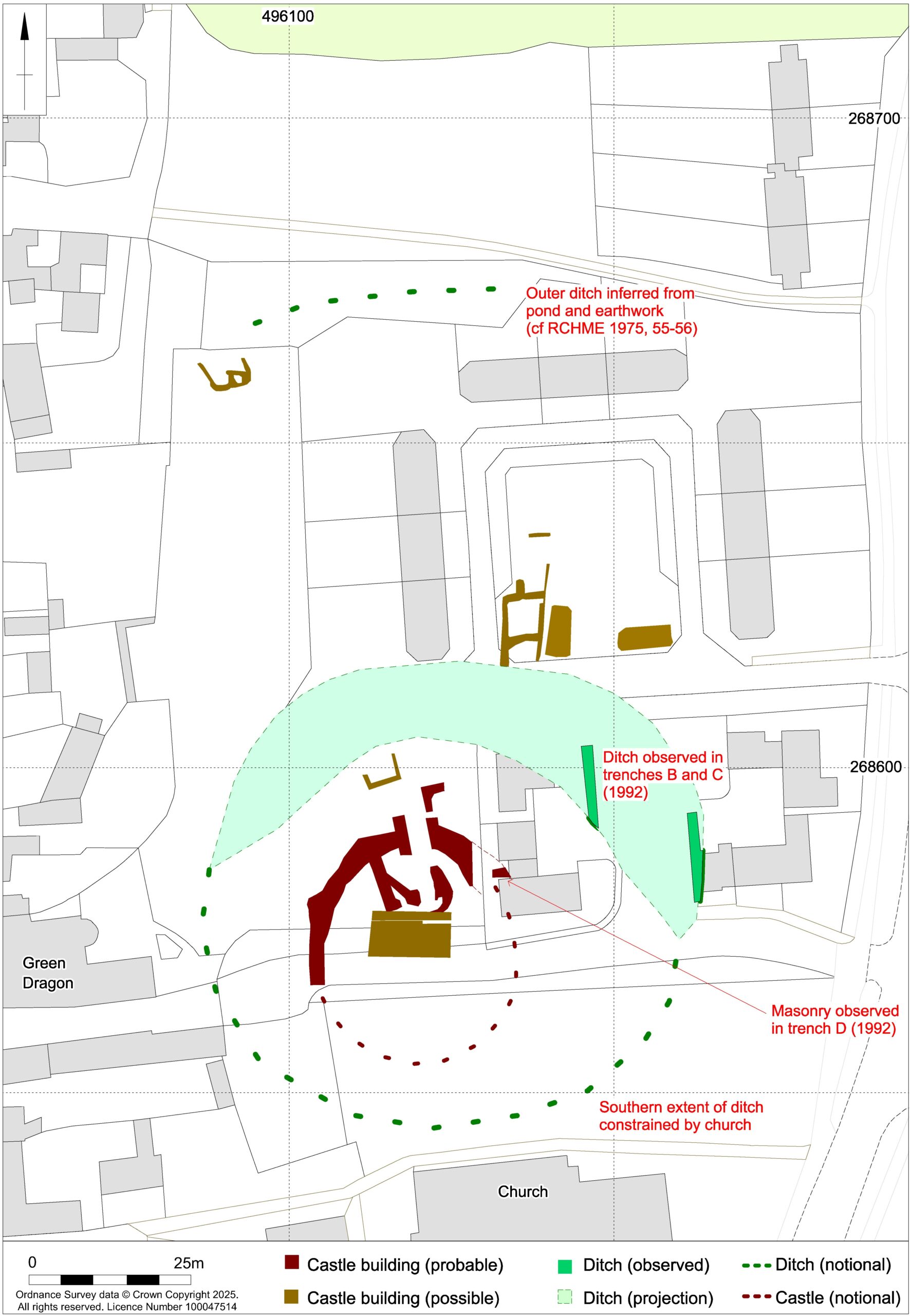
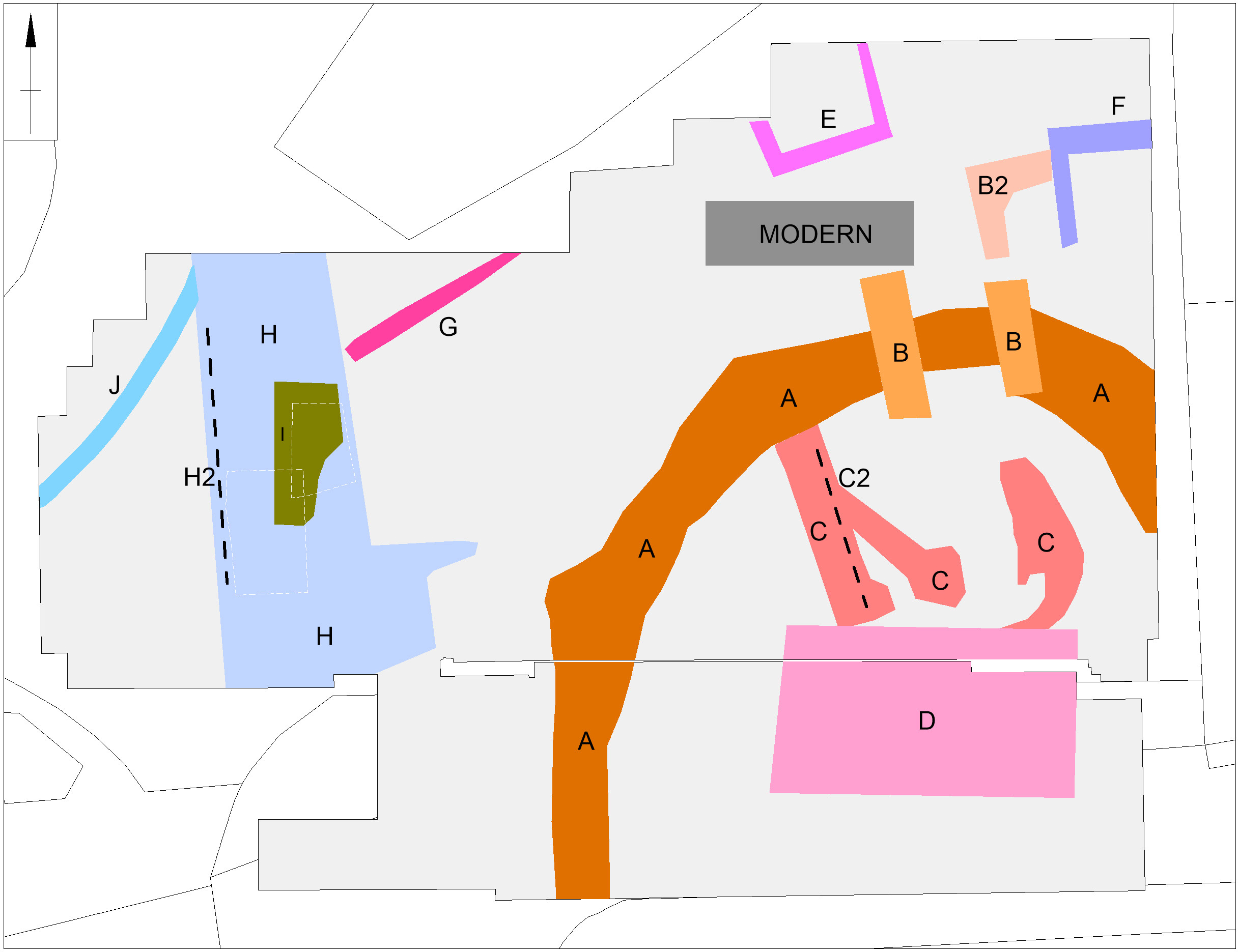
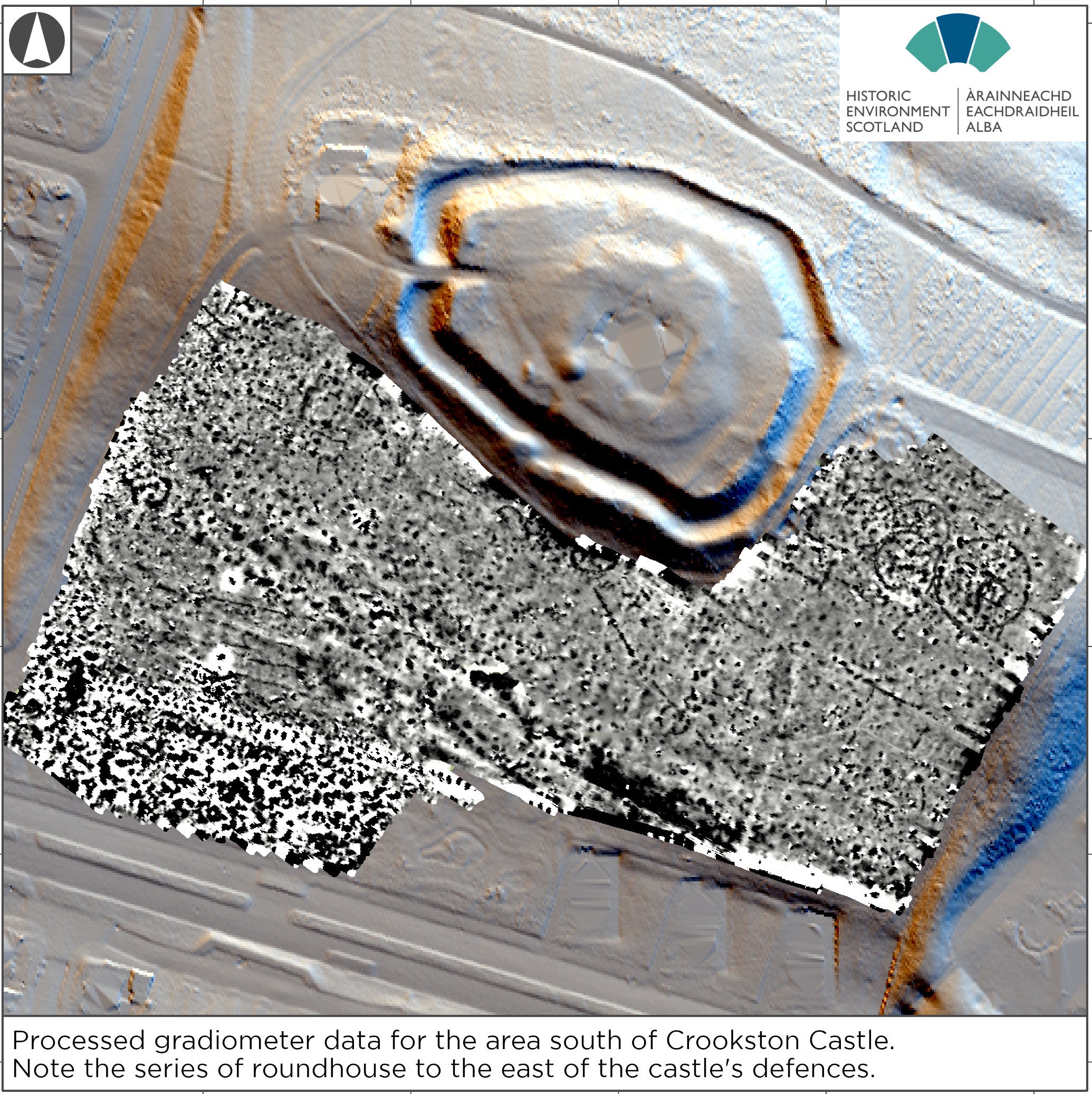
The results were great. The surveys revealed a range of previously unknown archaeological features, including later prehistoric roundhouses, a palisaded enclosure, medieval settlement remains contemporary with the castle’s occupation, and even signs of 17th-century coal mining. These discoveries added new chapters to Crookston’s story, enriching our understanding of the site’s long and varied history.
Subscribe to our quarterly newsletter
A report detailing the full results of the survey is available free to download through Trove.scot and our website: Geophysical surveys at Crookston Castle | Castle Studies Trust
Heritage as a catalyst for Connection
At the heart of this project was a belief that heritage can be a force for positive change. “The Friends of Crookston Castle” exemplify this philosophy. Their mission is to use local history as a way to bring people together, foster pride, and build bridges between communities.
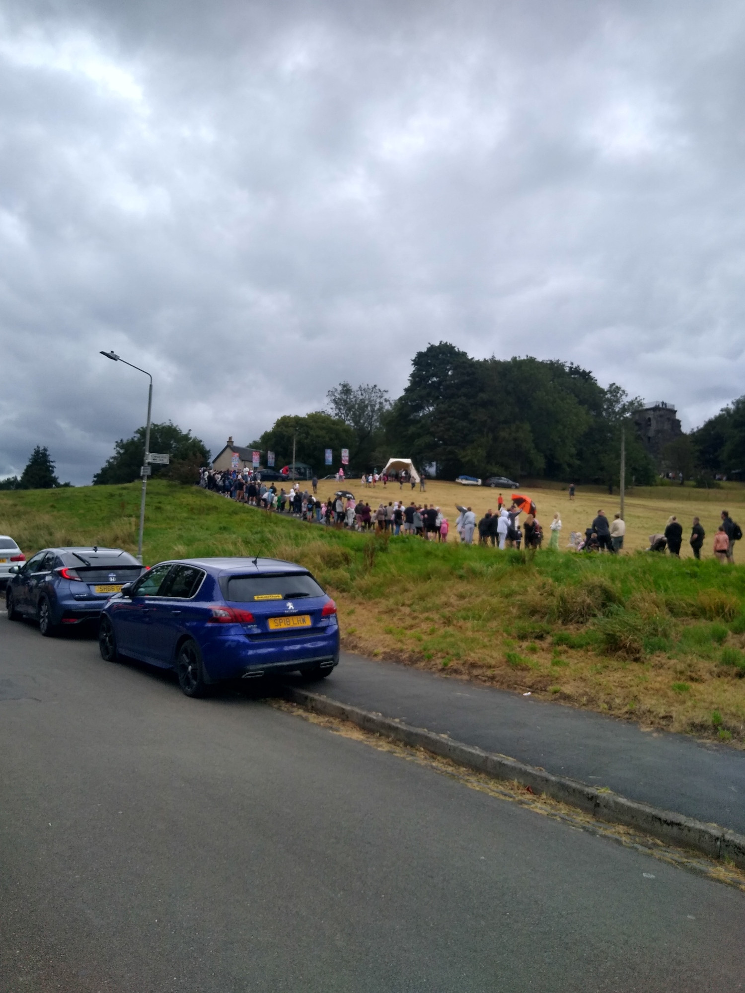
Their dedication was evident not only in the fieldwork but also in the community open day they organised at the castle. Over 900 visitors attended, engaging with the archaeological team, exploring the site, learning about the discoveries, and more importantly having fun. It was a celebration of place, memory, and shared curiosity.
Learning by Doing
One of the most inspiring aspects of the project was its educational impact. For many of the school pupils involved, this was their first encounter with archaeology. They weren’t just passive observers—they were active participants, learning how to use equipment.
This hands-on experience helped make archaeology easier to understand, showing young people that history isn’t just something you read in books—it’s something you can touch, explore, and contribute to. It also planted seeds for future careers and lifelong interests, proving that heritage engagement can be both meaningful and transformative.
Subscribe to our quarterly newsletter
A Model for Community Archaeology
The Crookston Castle Community Geophysics Project stands as a model for how heritage organisations can collaborate with local groups to achieve something special. It wasn’t just about uncovering archaeological features—it was about empowering people to take ownership of their history, to tell their stories, and to connect with one another through a shared sense of place.
By combining scientific expertise with grassroots enthusiasm, the project demonstrated that archaeology can be inclusive, educational, and rewarding. It also highlighted the importance of funding bodies like the Castle Studies Trust, whose support makes such initiatives possible.
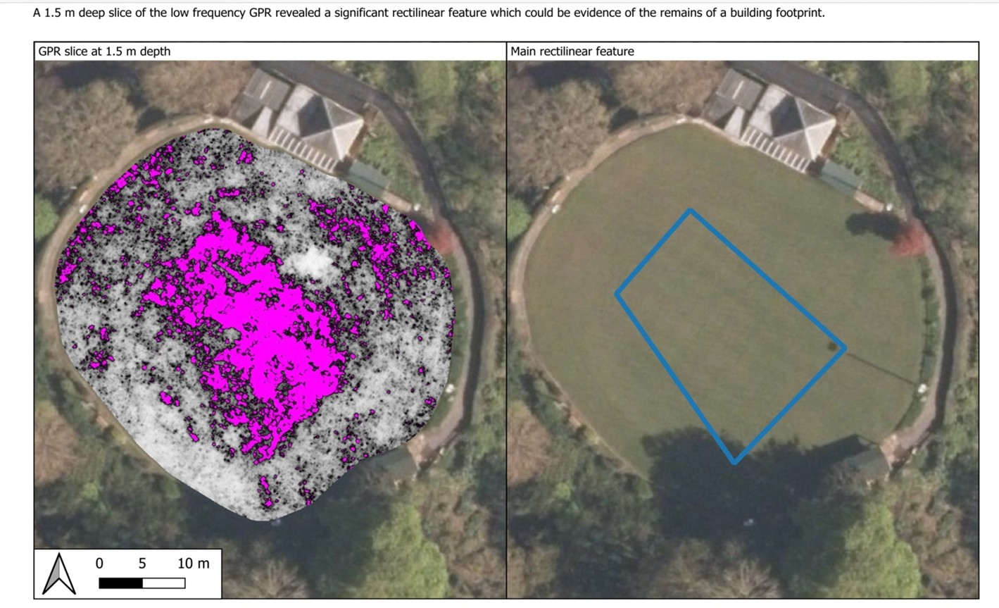
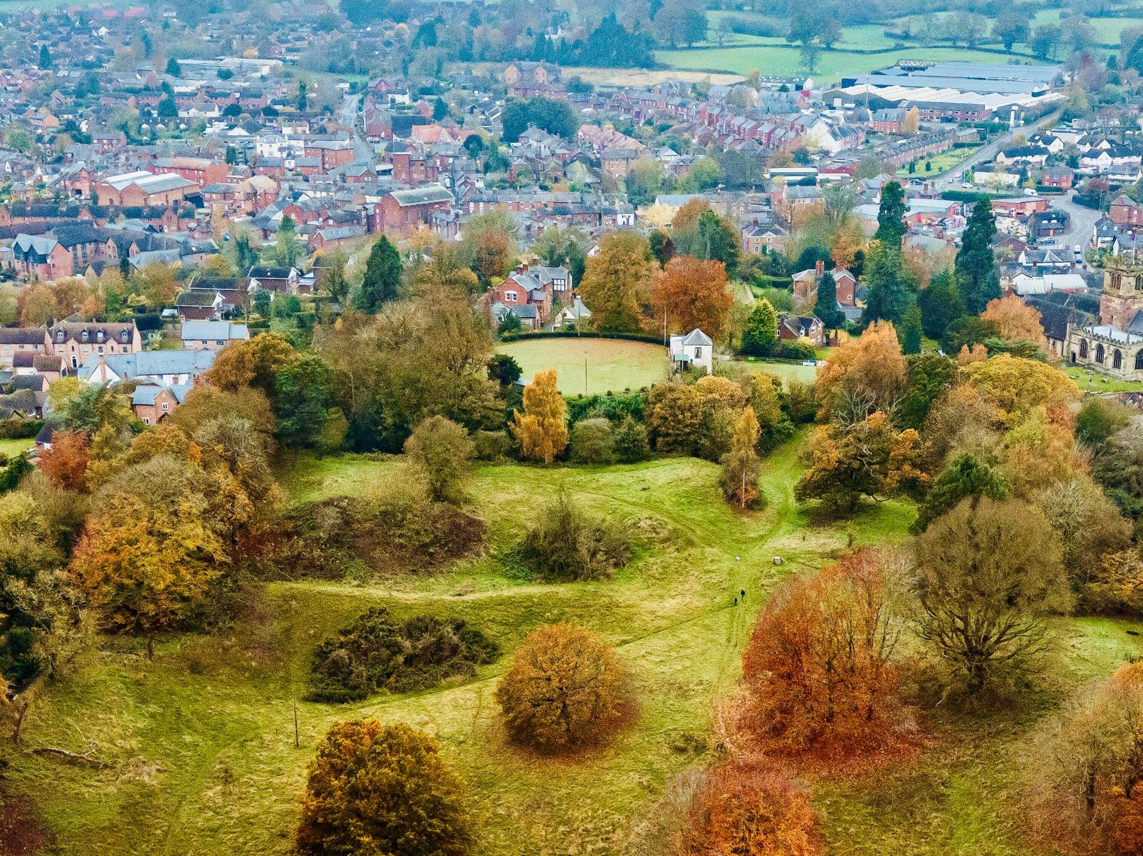
The Results: Large Potential for Future Archaeological Study
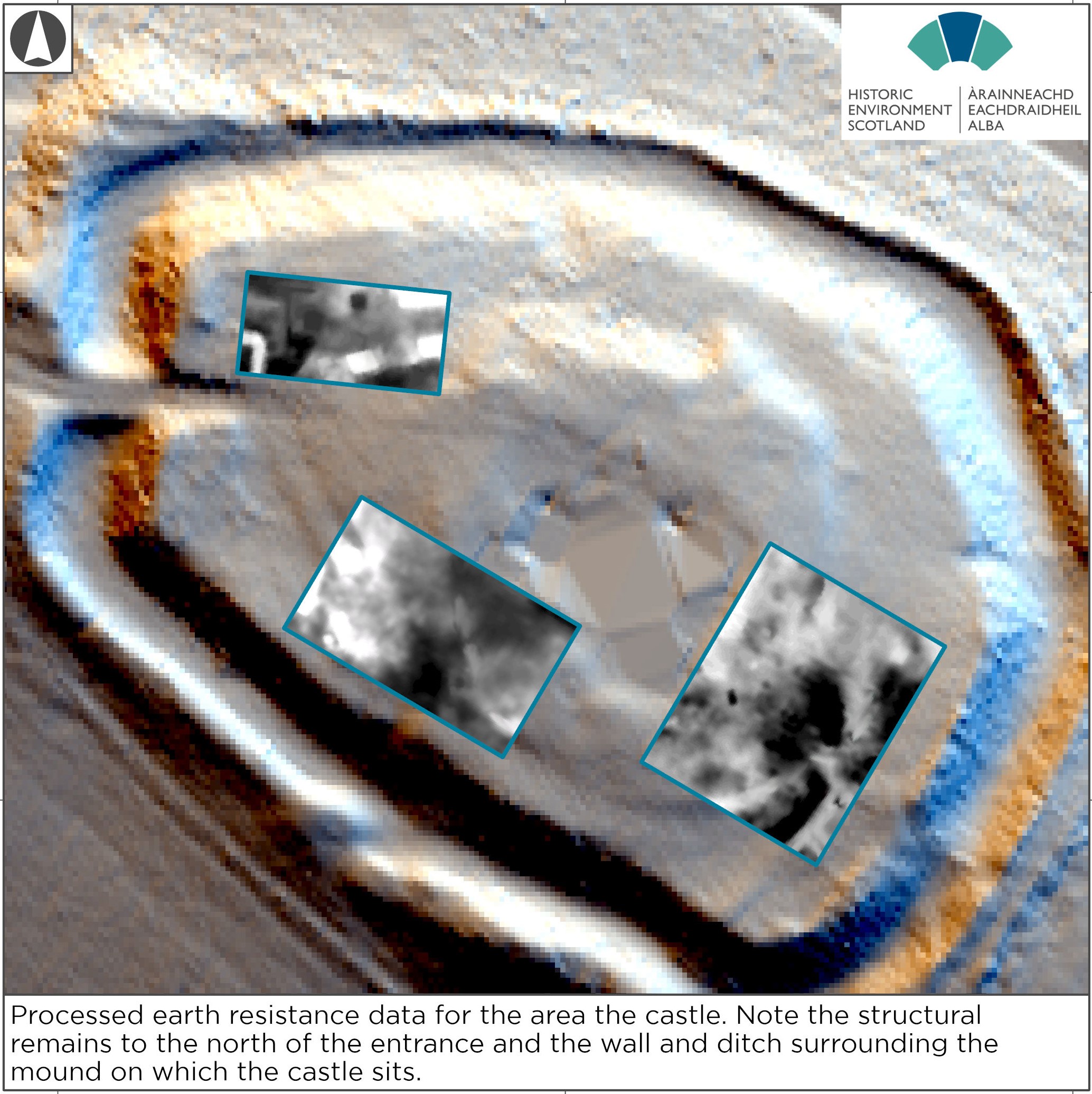
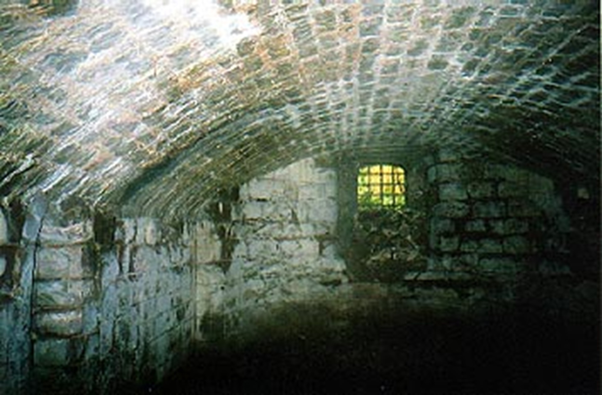
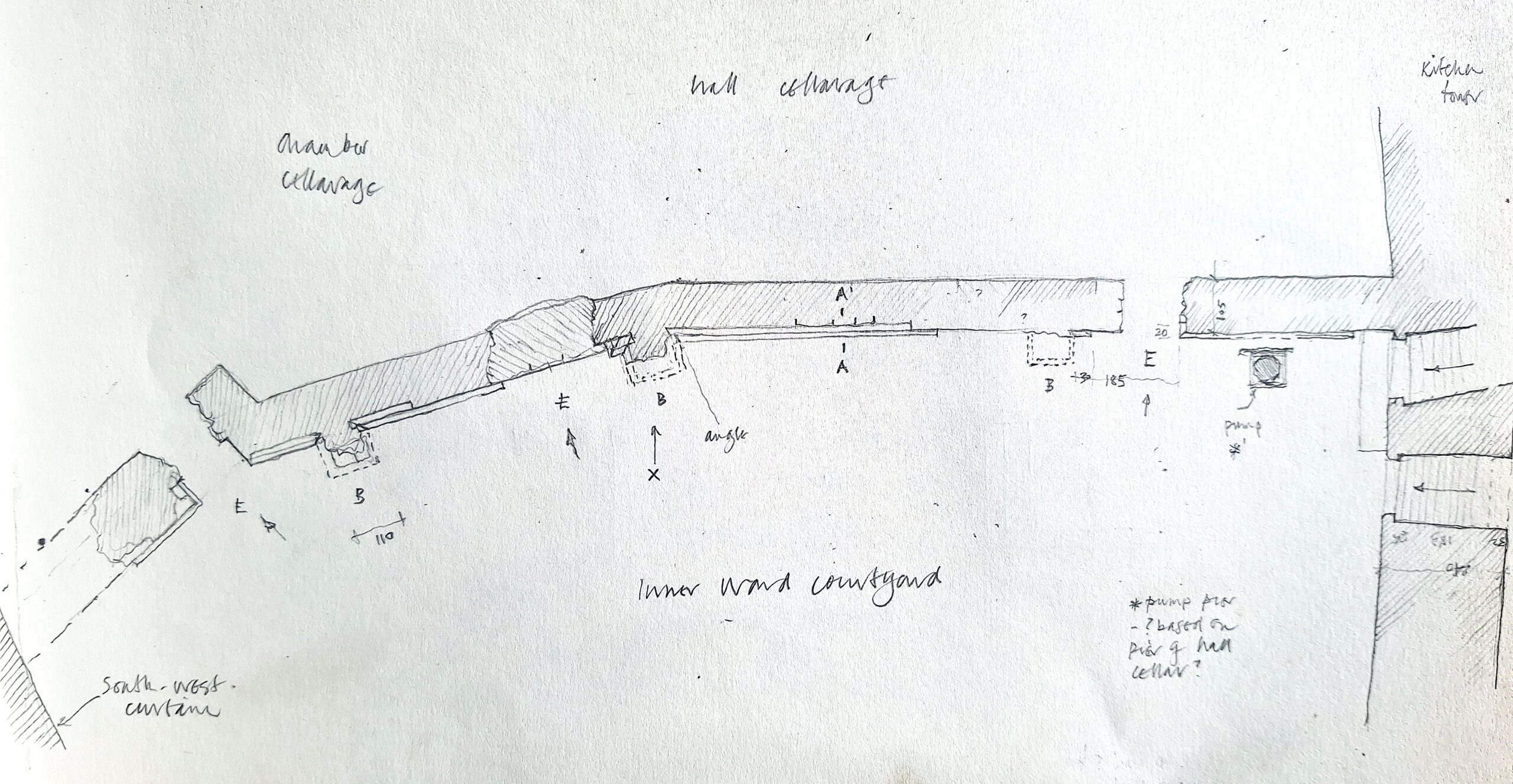
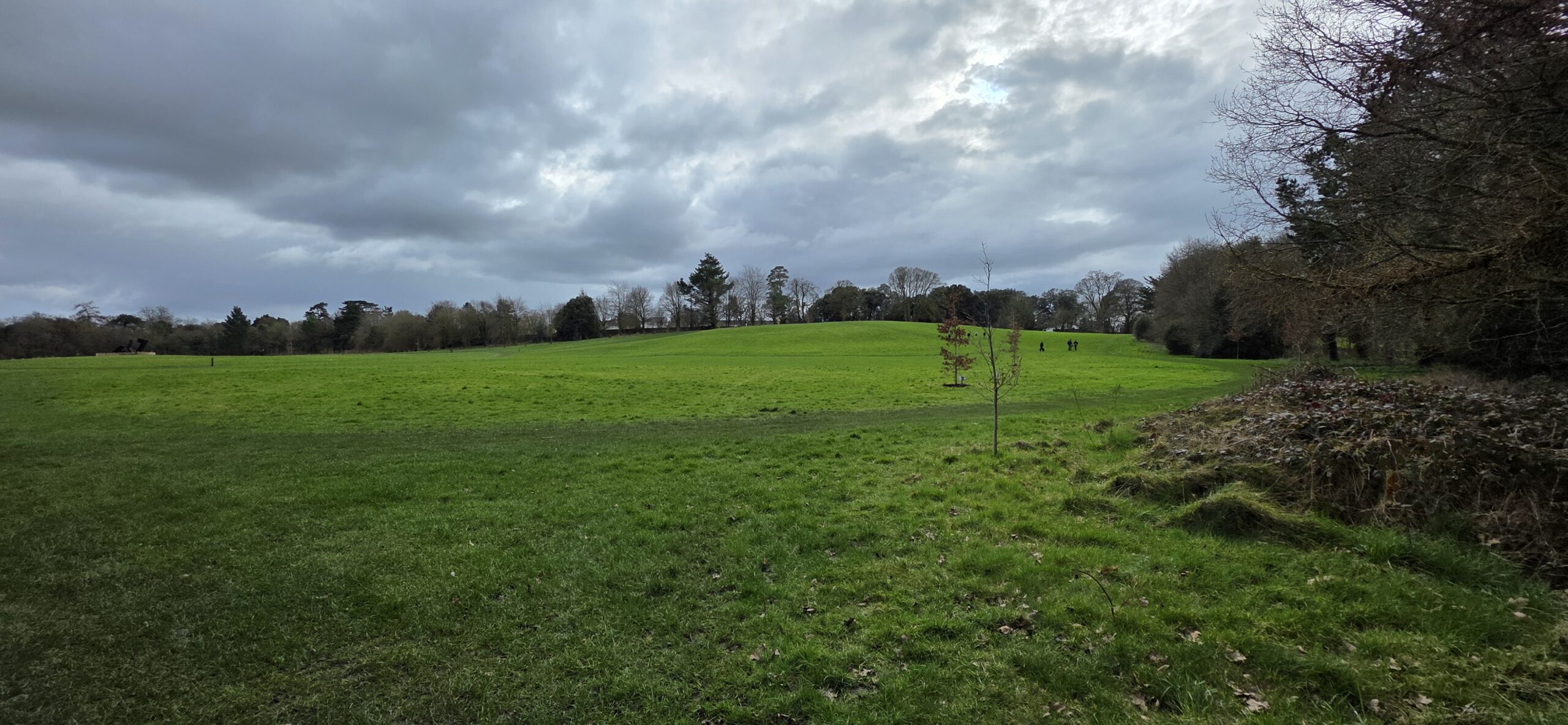
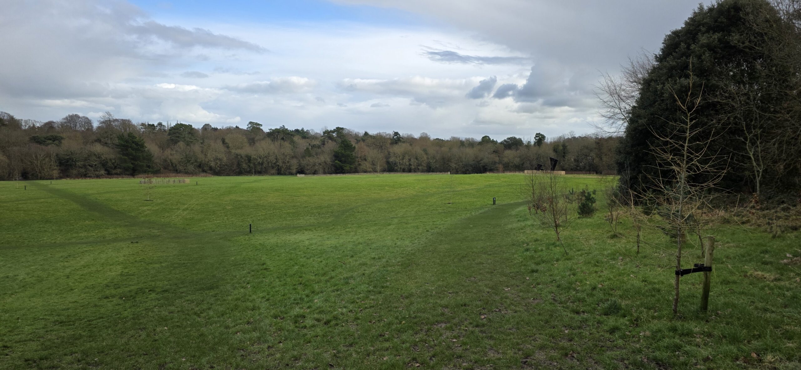
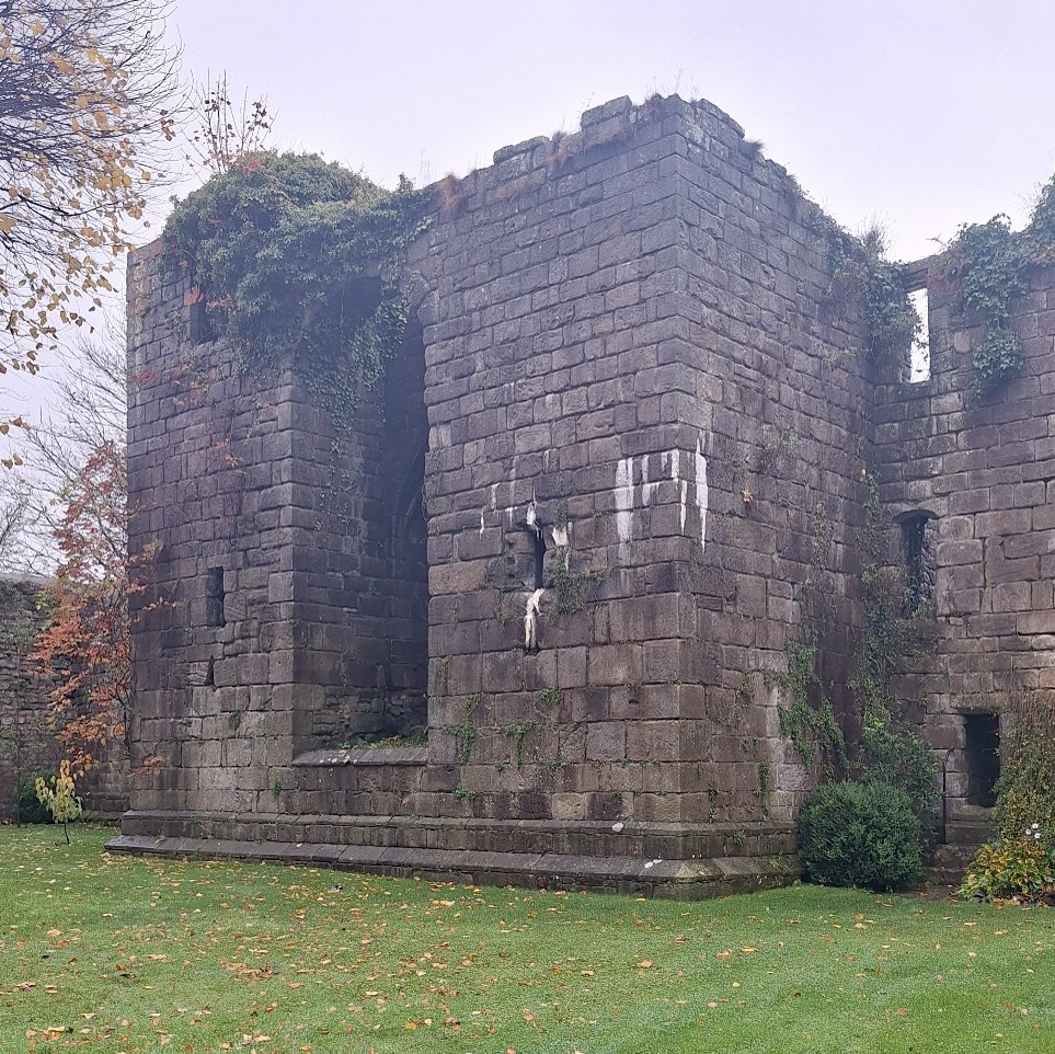
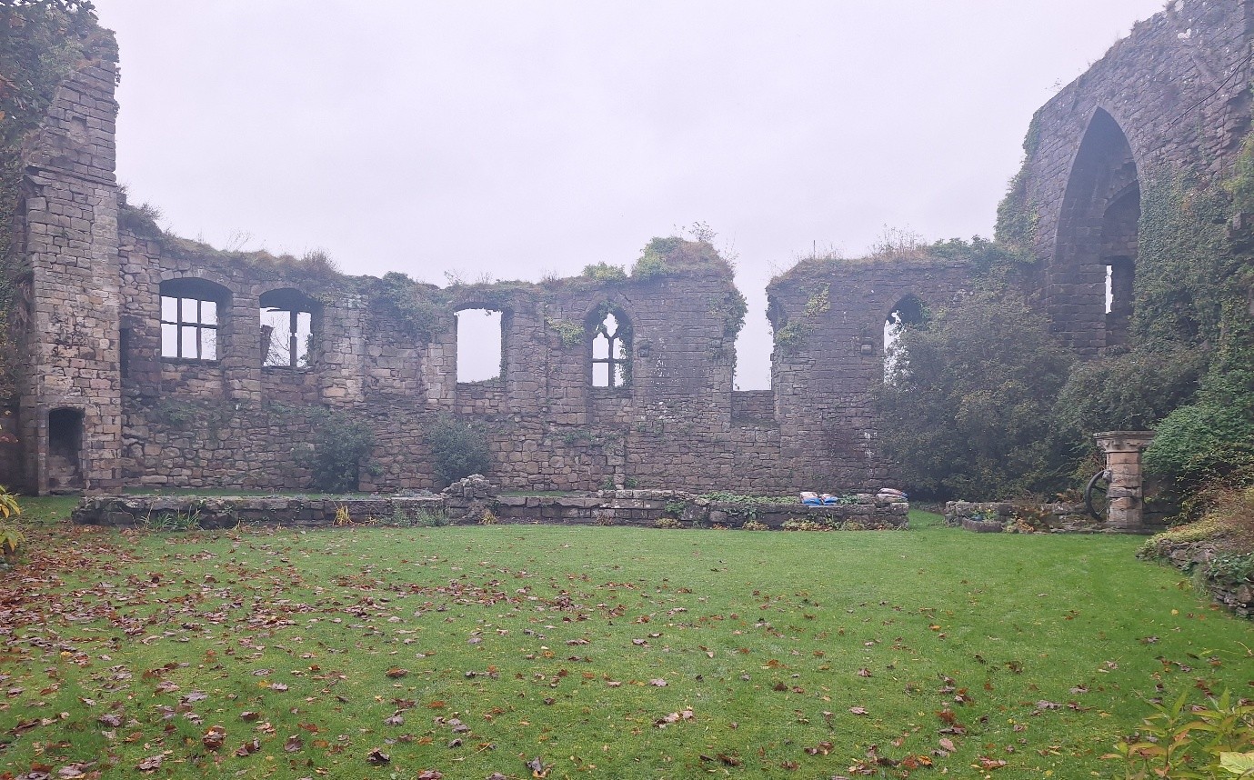
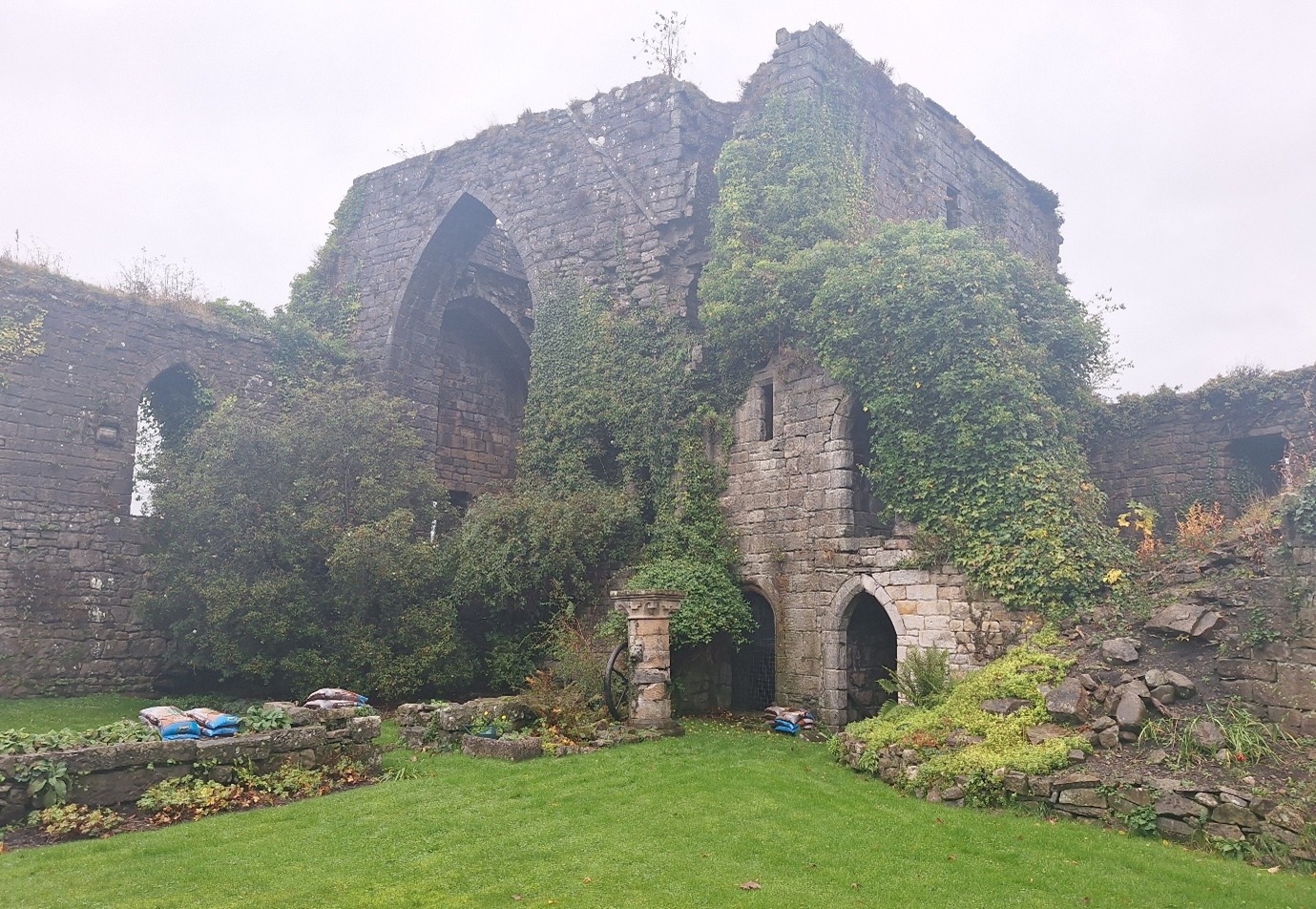
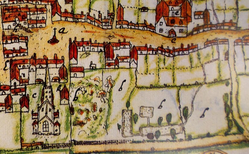
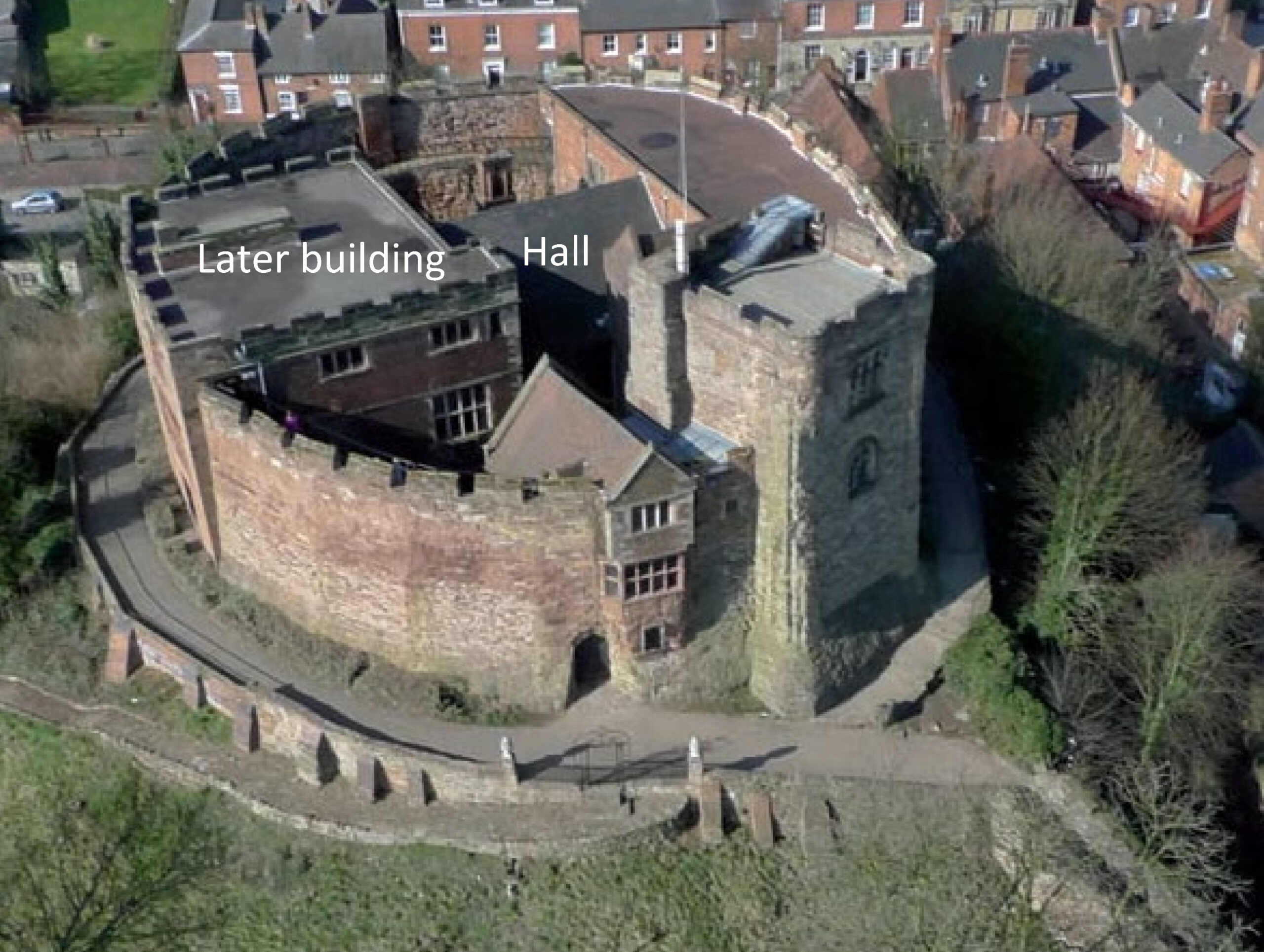
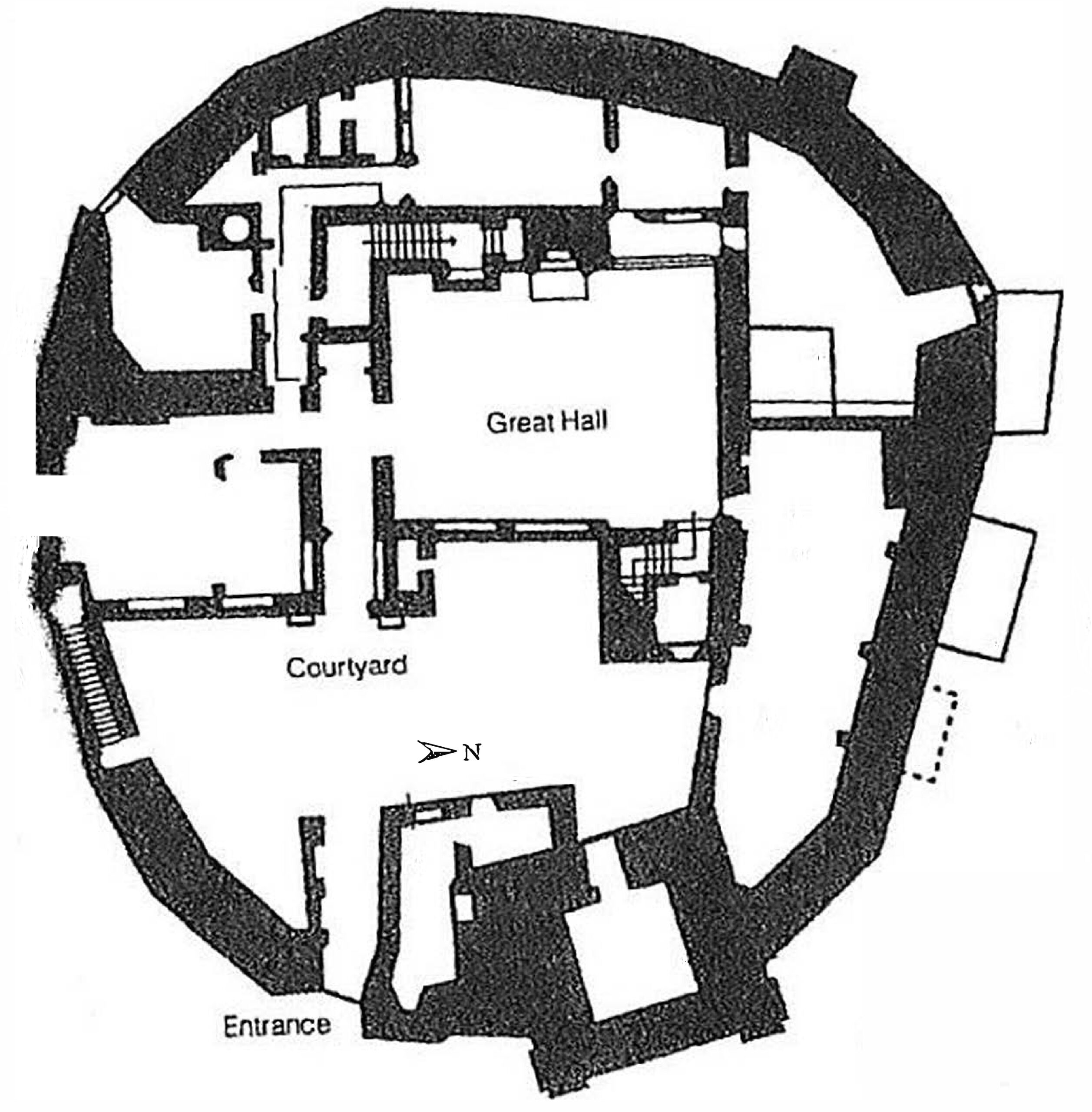
The survey has revealed a range of archaeological features that include structural elements of the castle, and a range of buildings and structures, including a stone enclosure surrounding the current standing remains and perhaps including a well within the castle keep. There is also possible evidence of another entrance with a gap in the stone enclosure aligning with a square enclosure south-east of the main castle Outside the castle moat an entirely unexpected cluster of later prehistoric roundhouses and a palisaded enclosure have been discovered, a significant addition to the history of this location. These represent a succession of large timber round houses.
The identification of ephemeral, possibly timber, building remains to the west south west of the castle moat highlights the potential for settlement of medieval and later date just outside the castle moat. Finally, coal mining of medieval or later date is identified in what look like bell pits, along with the signatures of demolished 19th and 20th century buildings and infrastructure.
Looking Ahead
Now that the fieldwork is over and the data is analysed, the legacy of the Crookston Castle project continues. The findings will inform future research, conservation efforts, and educational programmes. But perhaps more importantly, the relationships forged during the project—between professionals, volunteers, students, and community members—will endure.
Crookston Castle is no longer just a relic of the past. It’s a living symbol of what can happen when people come together to explore, learn, and celebrate their shared heritage. And thanks to the vision and hard work of “The Friends of Crookston Castle,” its story is richer than ever.