The deadline for grant applications passed on 1 December. We’re going through the various projects now. Altogether the 21 projects (the most we have received since 2014), coming from all over the UK and Ireland, are asking for a record amount of over £170,000. They cover not only a wide period of history but also a broad range of topics.
Subscribe to our quarterly newsletter
In a little more detail, here are the applications we’ve received:
Bodiam, West Sussex: Co-funding the third season of the excavations of the Bodiam 100 project at the fourteenth century castle with the aim of understanding more about the castle in its broader landscape and chronology. The request is to fund post-excavation costs, scientific dating and assessment of samples and the costs of a weekend event focusing on pilgrim badges to highlight the discovery and significance of the late 14th century badge found in the castle moat during investigations in the 1970s
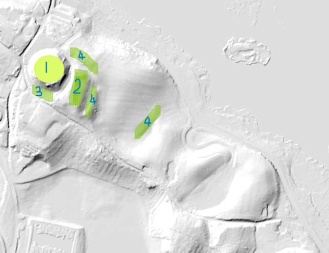
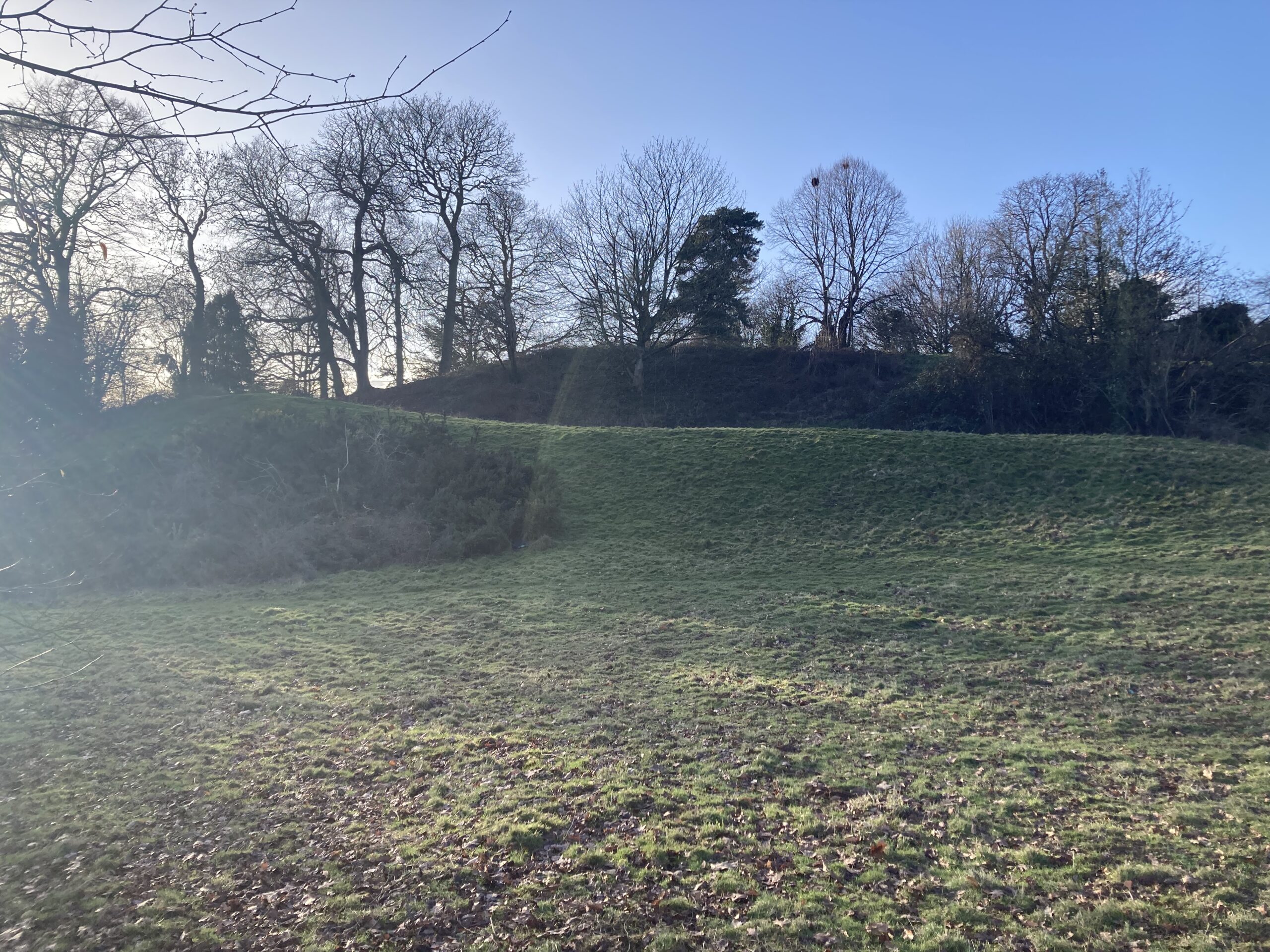
Buittle, Dumfries & Galloway: Co-fund a geophysical survey of the motte of the castle. This site, once the home of two Scottish kings and closely associated with some of the leading figures and events in the Scotland of the 13th and 14th centuries, may be one of the earliest Mottes with a stone structure.
Cainhoe, Bedfordshire: Geophysical survey of the remaining part of the site not covered in 2022, which focused on the fortified manor section. The survey will look at the earlier motte and bailey castle which seems to have been abandoned by the late thirteenth century.
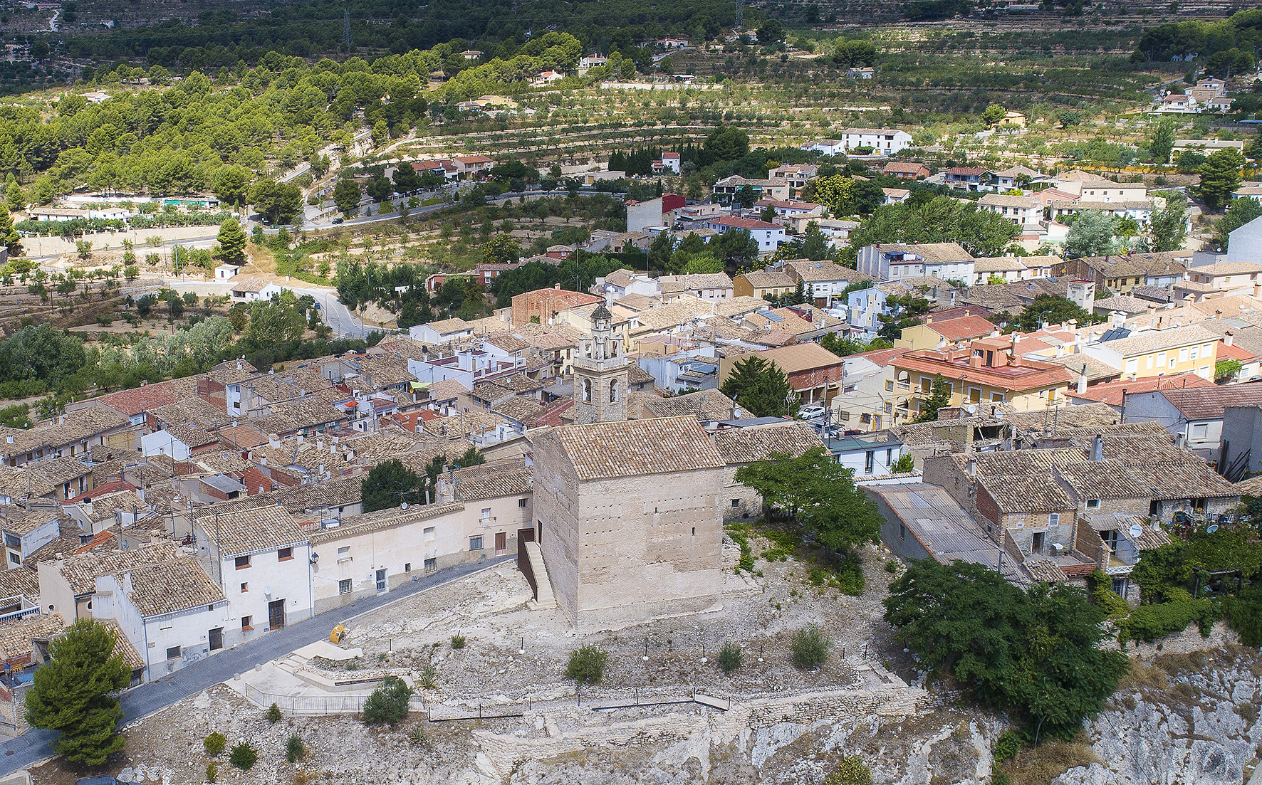
Carew, Pembrokeshire: To create new interpretive materials for Carew Castle that translate existing historical, architectural and archaeological research into accessible easy read signage.
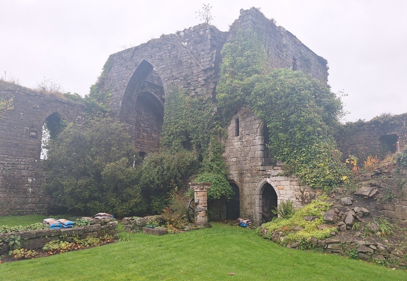
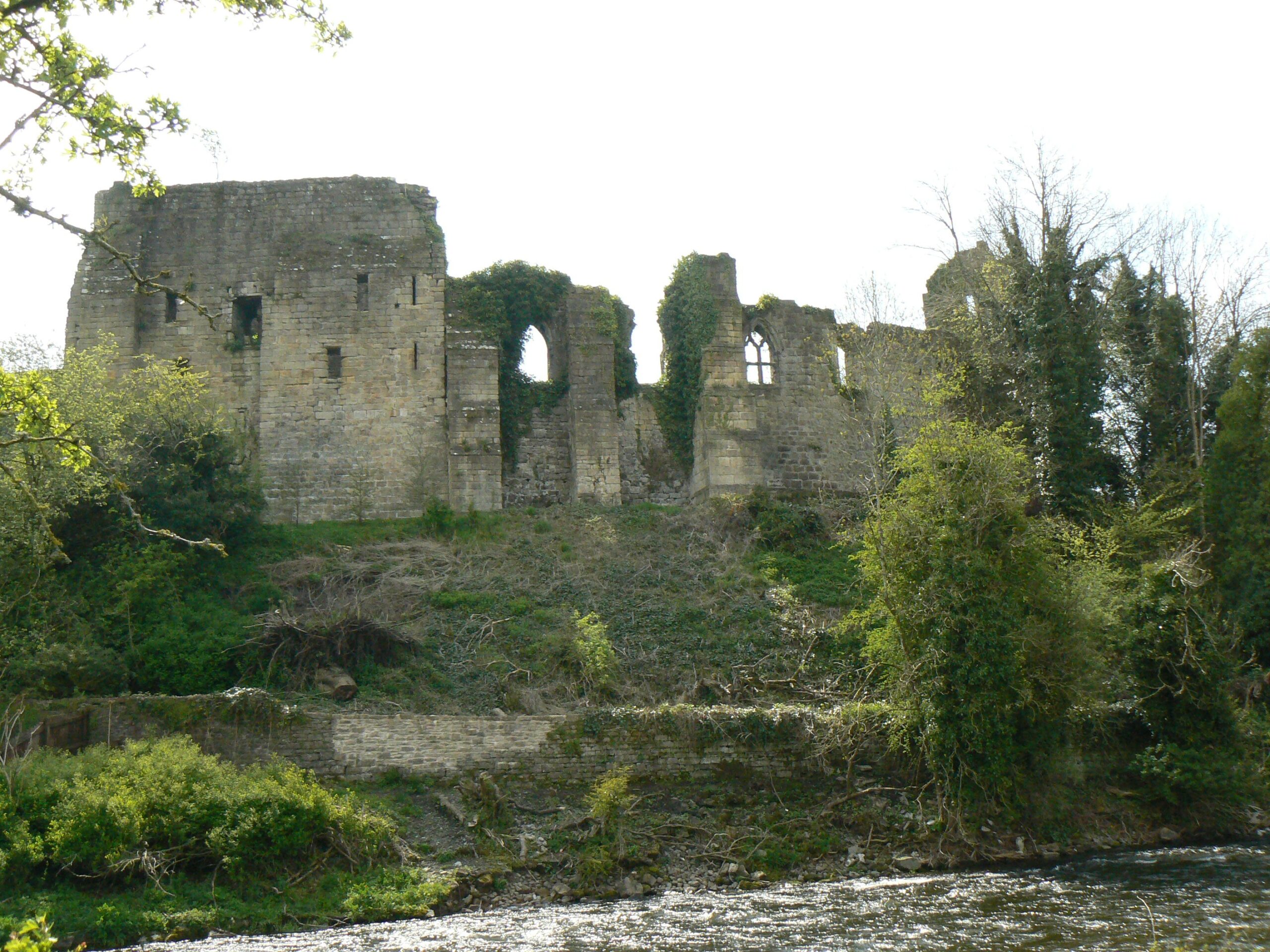
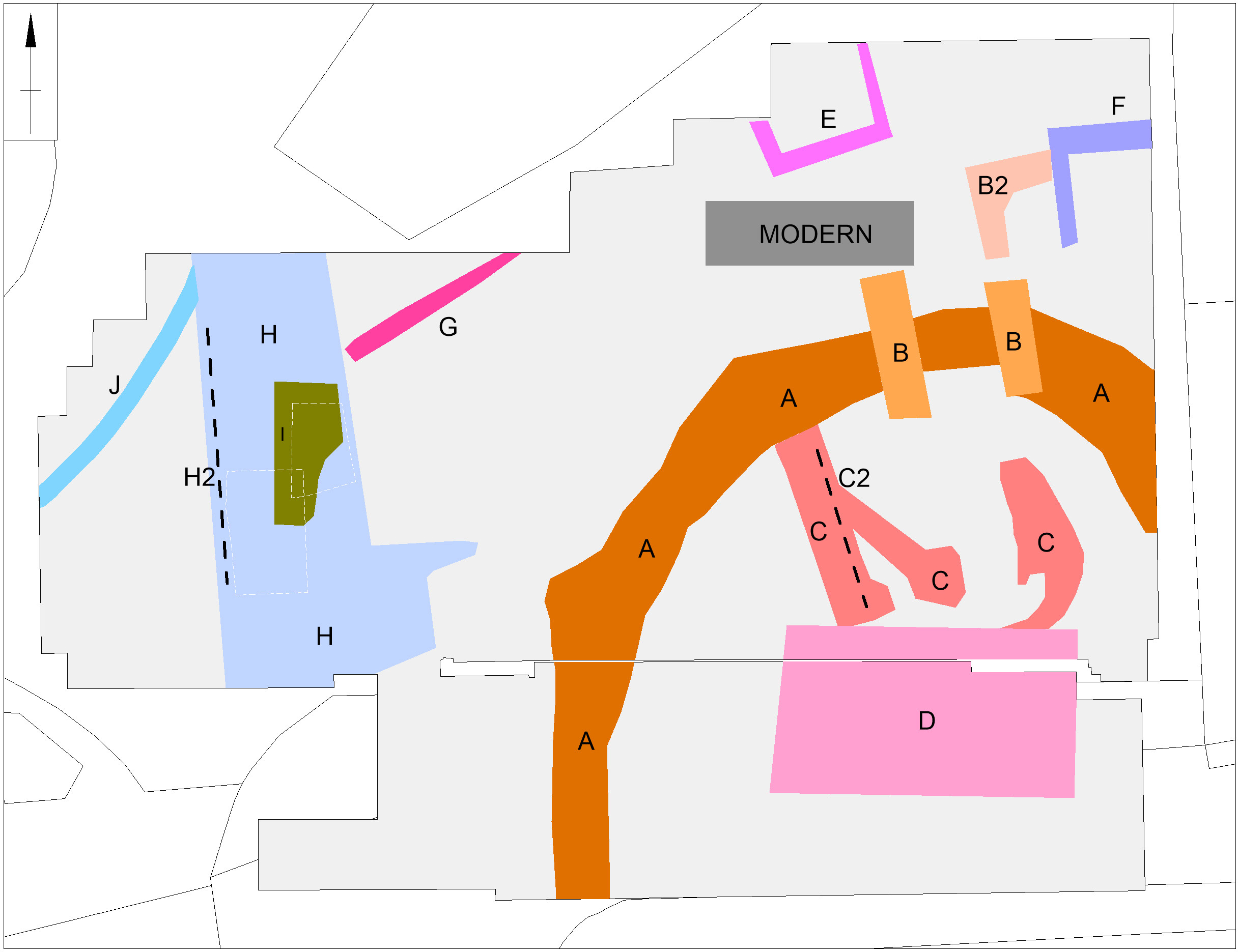
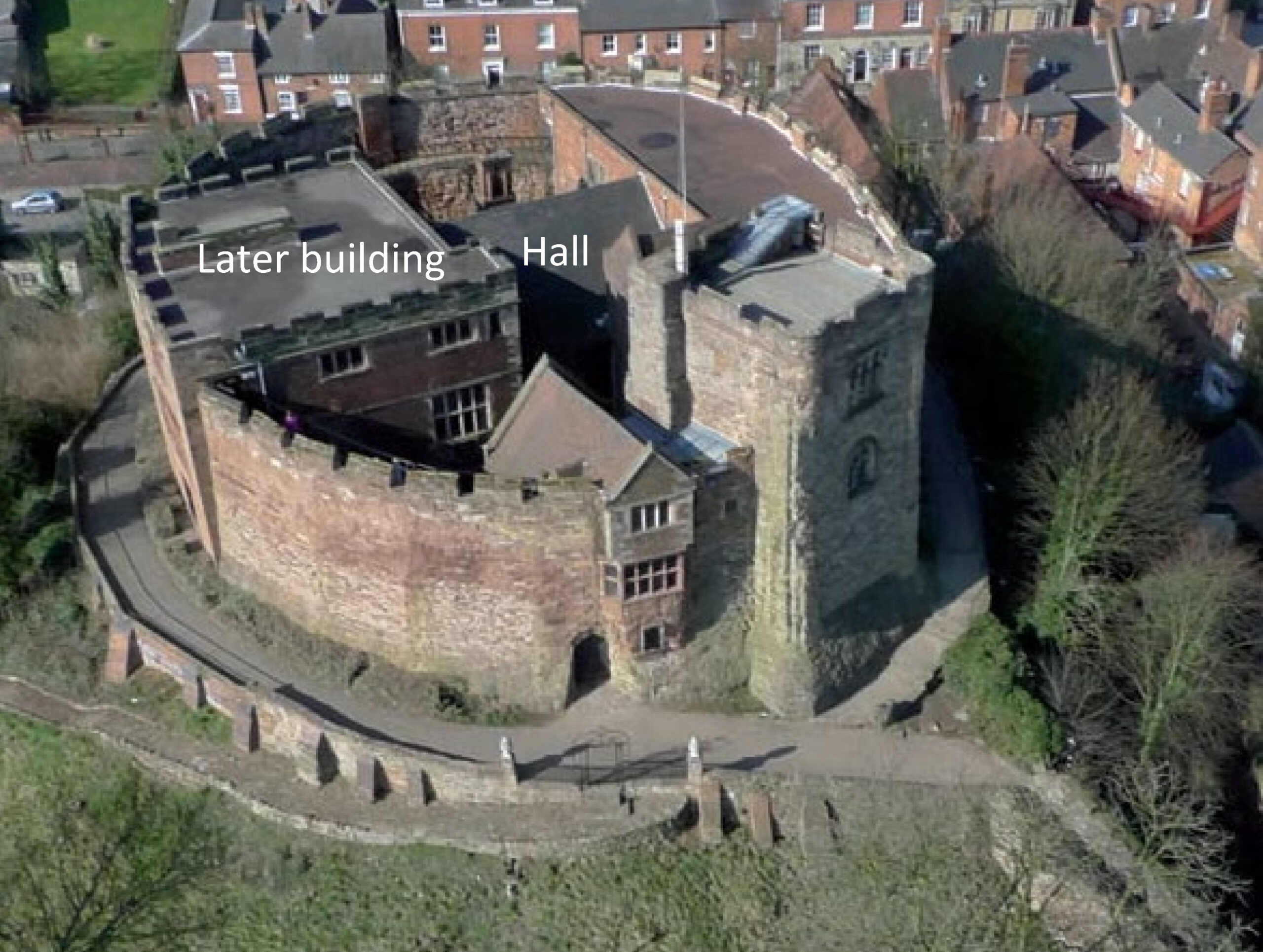
Cockermouth, Cumbria: Cockermouth Castle is an extensively surviving major multi-phase northern fortress whose evolutionary history has never been subject to systematic or formal assessment. The proposed project will focus upon developing a detailed understanding of the physical fabric of the castle’s inner ward structures with a view to mapping their evolution, and to provide contextualization by relating the major building periods to the site’s known history and occupancy, and in terms of the broader evolution of castle architecture.
Dunster, Somerset: Photogrammetry survey and analysis of the castle to understand the different phasing of the castle which dates to shortly after the Norman Conquest and has been much altered since.
Subscribe to our quarterly newsletter
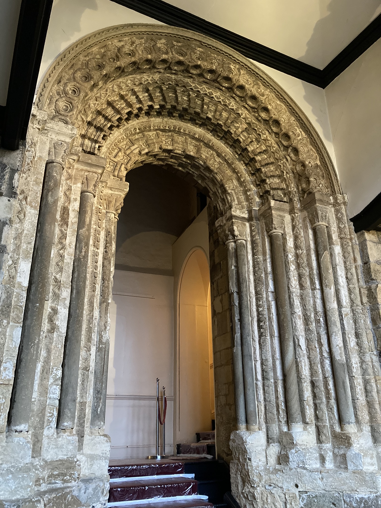
Durham Castle, County Durham: Investigating the Twelfth-Century Entranceway of Durham Castle. The aim of the project is to utilise digital archaeological techniques to create high-resolution images and models of the twelfth-century archway into Durham Castle’s North Range, enabling detailed investigation of the architectural features.
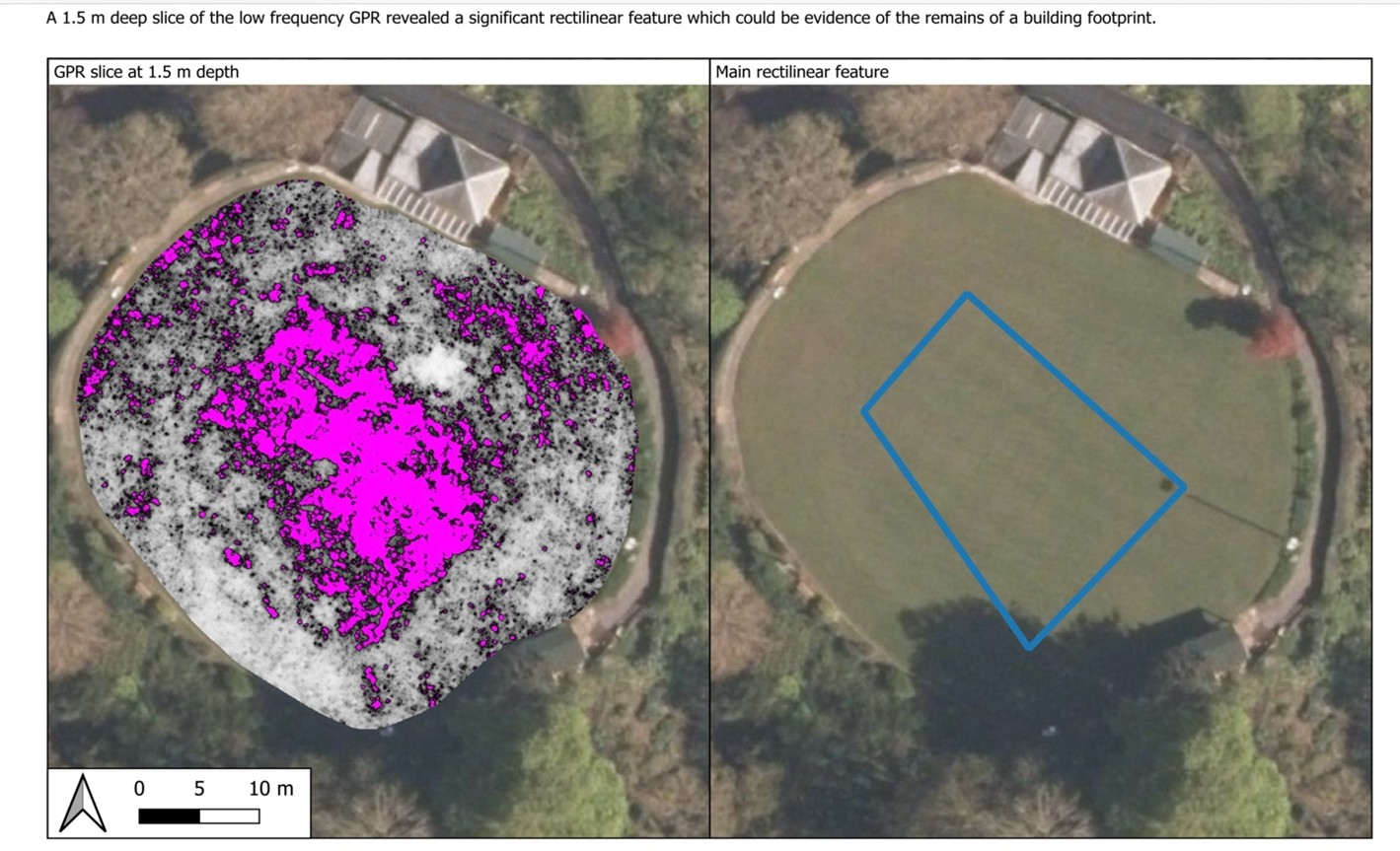
Ellesmere, Shropshire: Geophysical survey of the large motte and bailey castle in Shropshire which, prior to June 2024, had never been surveyed before when the large motte was surveyed by GPR which revealed possible buildings. The resistivity and magnetometry surveys would confirm that, as well as survey the rest of the site which played an active part in the Marcher disputes in the reign of Henry III.
Fyvie, Aberdeenshire: The project aims to create new interpretation drawings to showcase key stages in the architectural development of the castle, which dates to the thirteenth century, and share these as part of outreach and engagement.
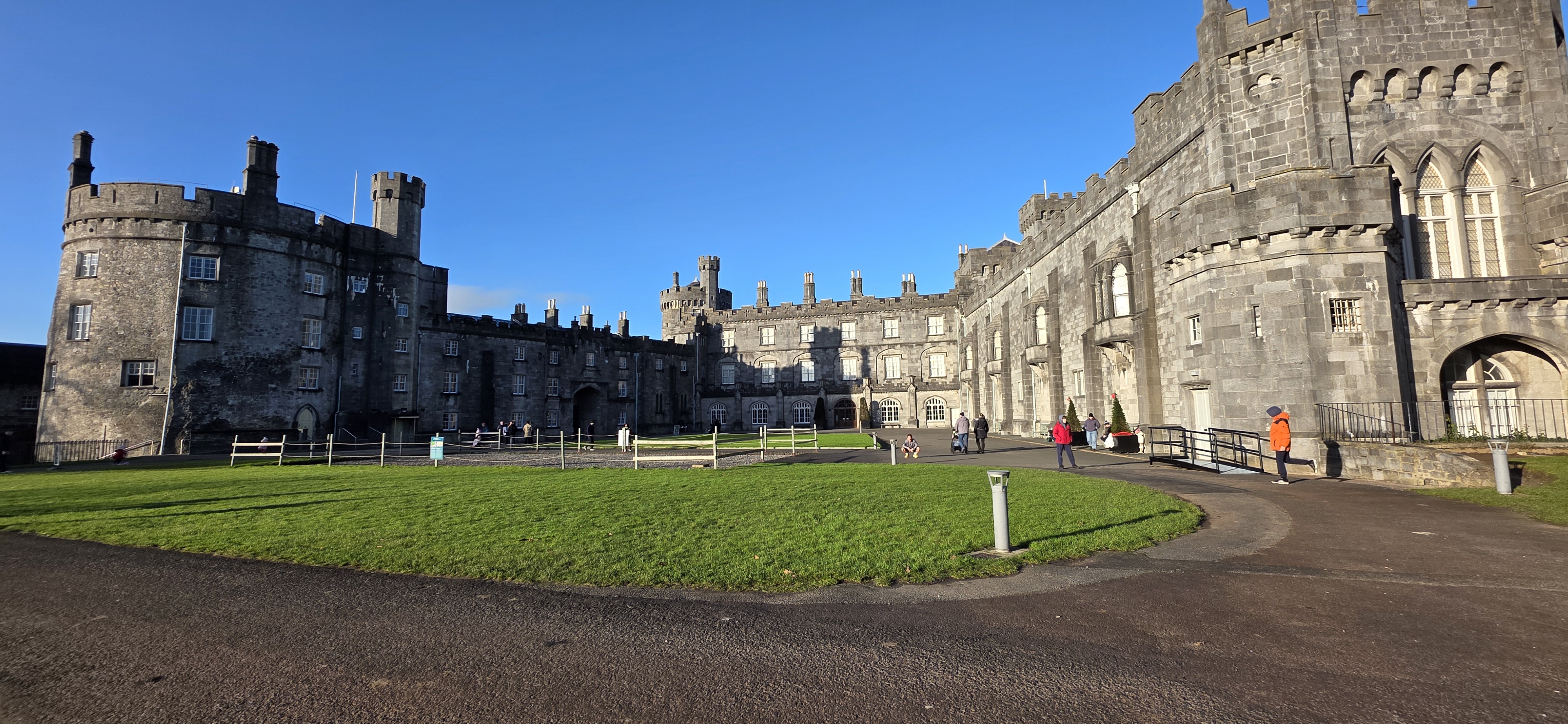
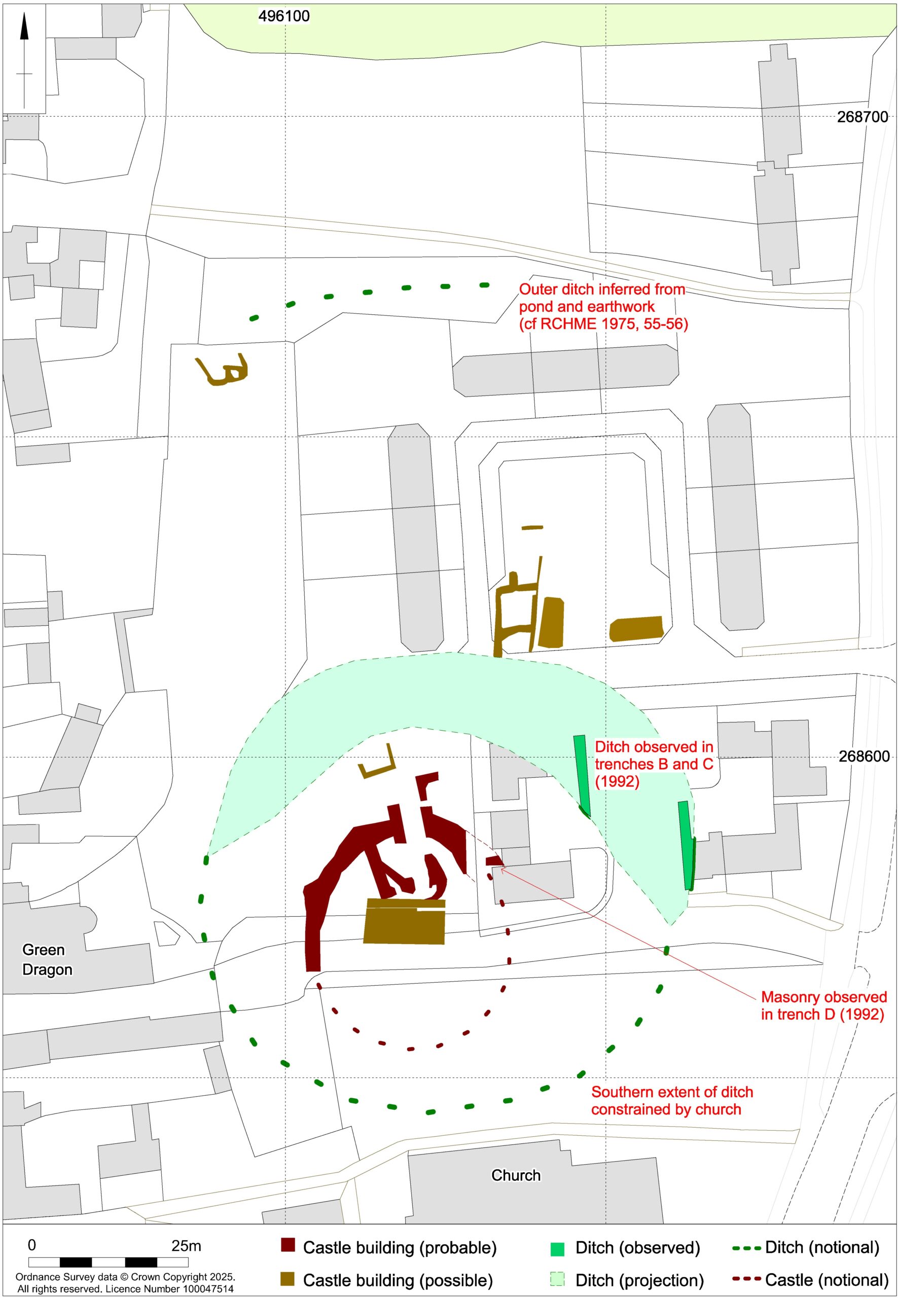
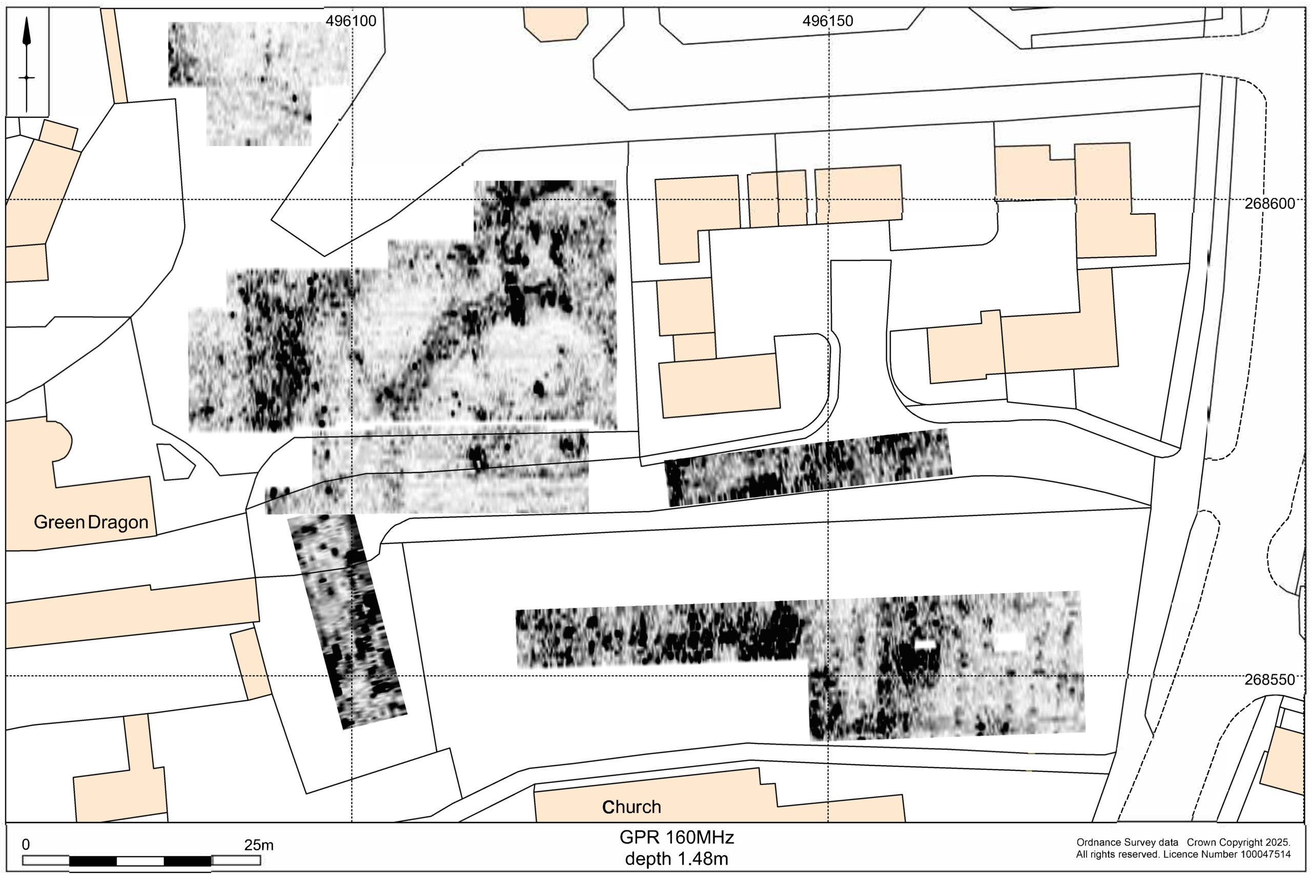
Kilkenny, Leinster, Republic of Ireland: This project proposes the use of geophysical survey to locate and map the lost Flemingstown of Kilkenny Castle – a unique example of a purpose-built Flemish colonial suburb. While some of the outer ward has already been investigate, the one area missing has been around the site of the tower.
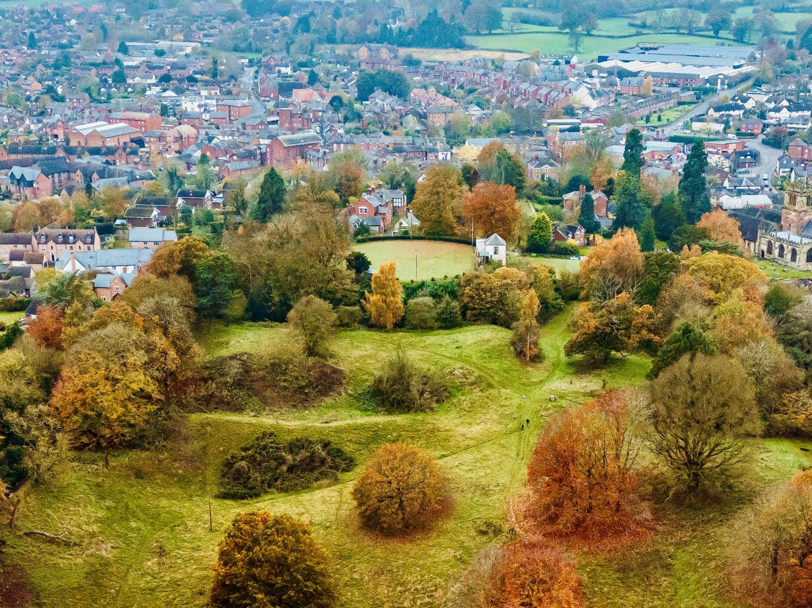
Lesser-known Essex Castles: The project aims to process and interpret LIDAR data relating to 23 less well-known Essex Castle sites such as at Chipping Ongar and Canfield. These castles were selected from the data within the Essex Historic Environment Record (EHER) as having very little, if any, previous archaeological investigation.
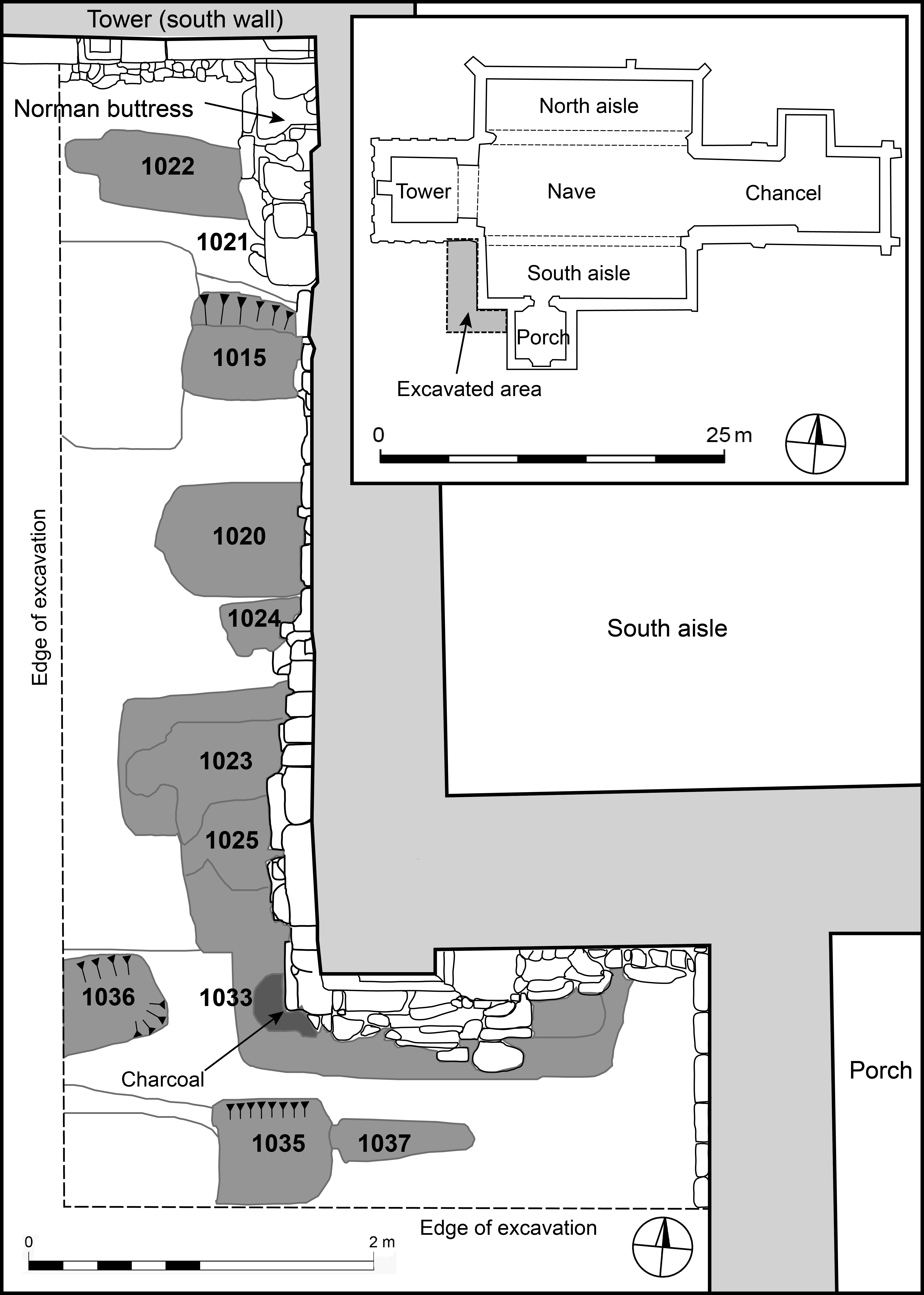
Little Beblowe, Northumberland: Excavation of the remains of the Henrician fortification, the first purpose-built fortification on Lindesfarne. The fort was built in the 1540s and has never been excavated. With much of the fort already lost to coastal erosion, this is potentially one of the last opportunities to excavate the site and see if the various plans of the fort match what is there.
Pontefract, Yorkshire: Digital reconstruction of the gatehouse of this one-time royal castle based on the 2019 excavations and previous studies showing its original structure and later adaptations.
Poulton Hall, The Wirral: A geophysical survey around the current hall to see if there are any indications of a possible castle. There have been numerous finds by metal detectorists indicating a medieval past for the area and historical sources indicate the site was high status throughout the middle ages.
Subscribe to our quarterly newsletter
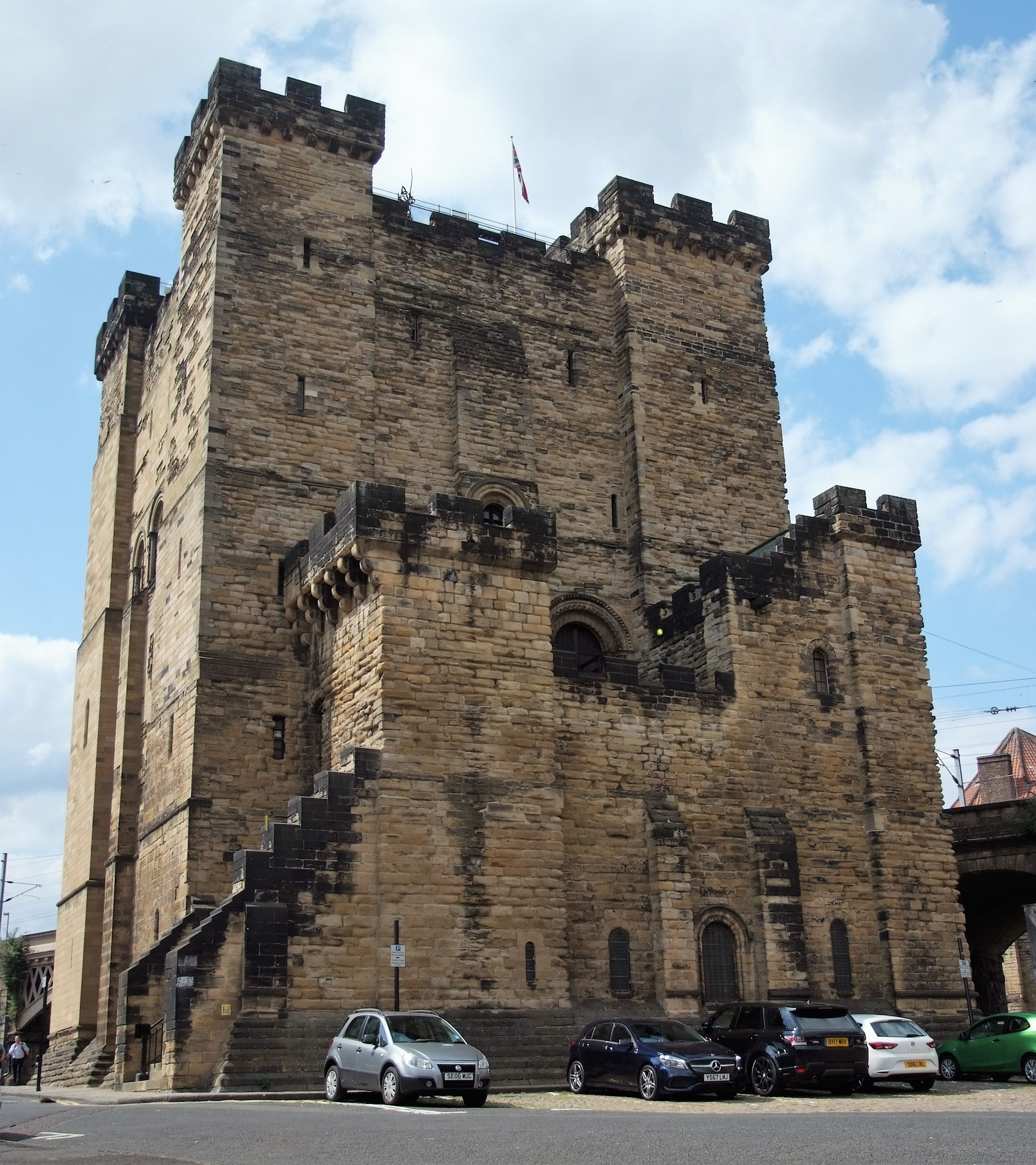
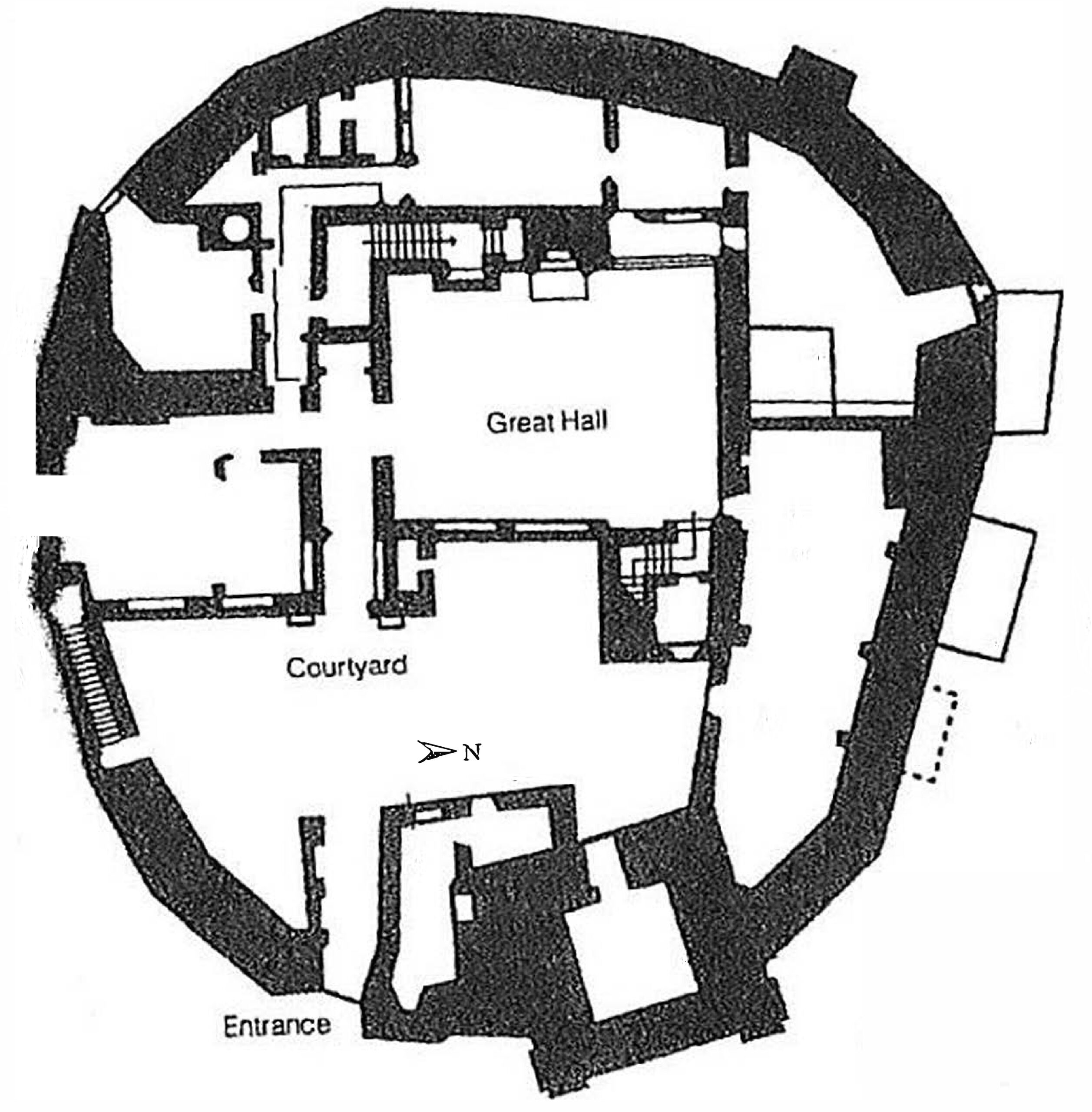
Newcastle, Northumberland: To co-fund the publication of the report of the excavations of Newcastle Castle, one of the major royal castles in the North East of England, which took place over 20 years between 1974-95. The funds will be for synthesising all the different excavations, updating specialist reports and preparing relevant plans and illustrations.
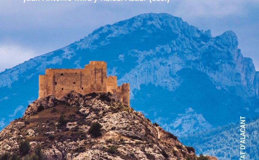
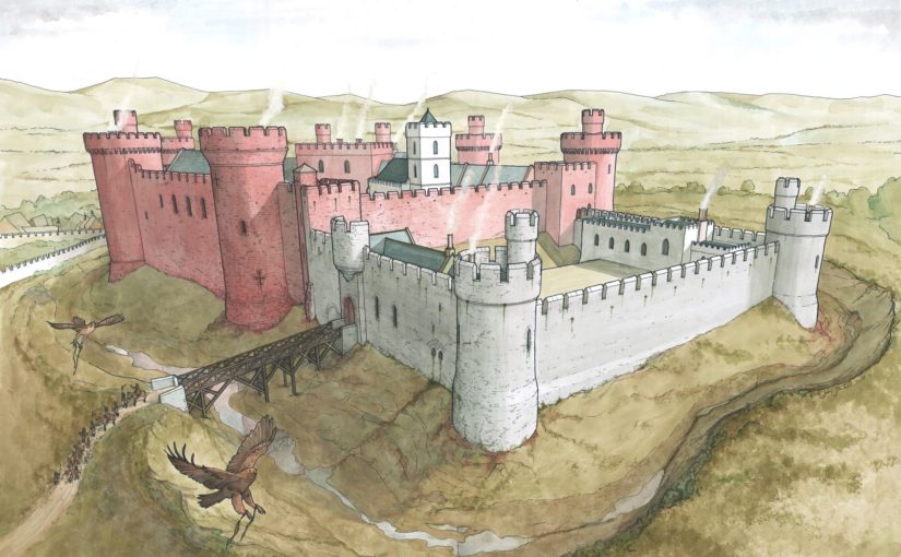
Ruthin, Denbighshire: Co-funding a structural survey and analysis of the great gatehouse of this formidable thirteenth century baronial castle that was a key part of Edward I’s strategy to secure the conquest of Wales.
Sauchie Tower, Clackmannanshire: Co-fund the first ever full structural survey of this early fifteenth century tower built by Sir James Schaew [check spelling]. Exceptional among the four surviving mediaeval towers in the county for having had very little alteration, thus preserving its structural integrity.
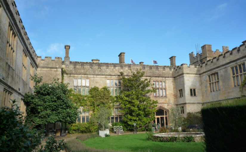
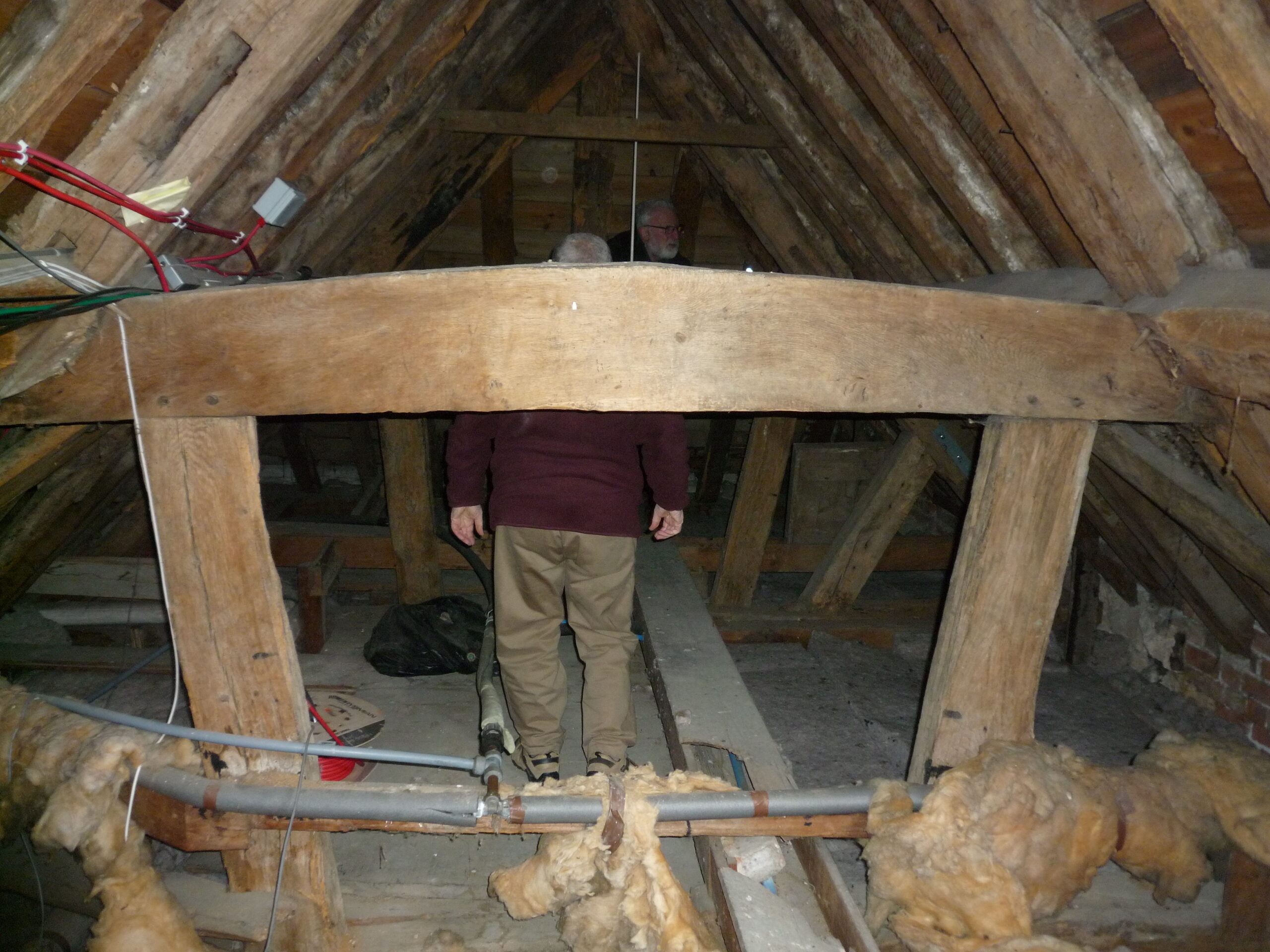
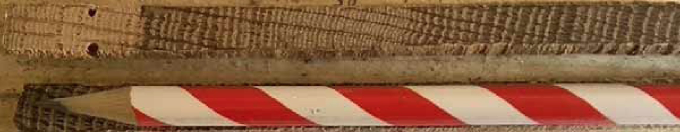
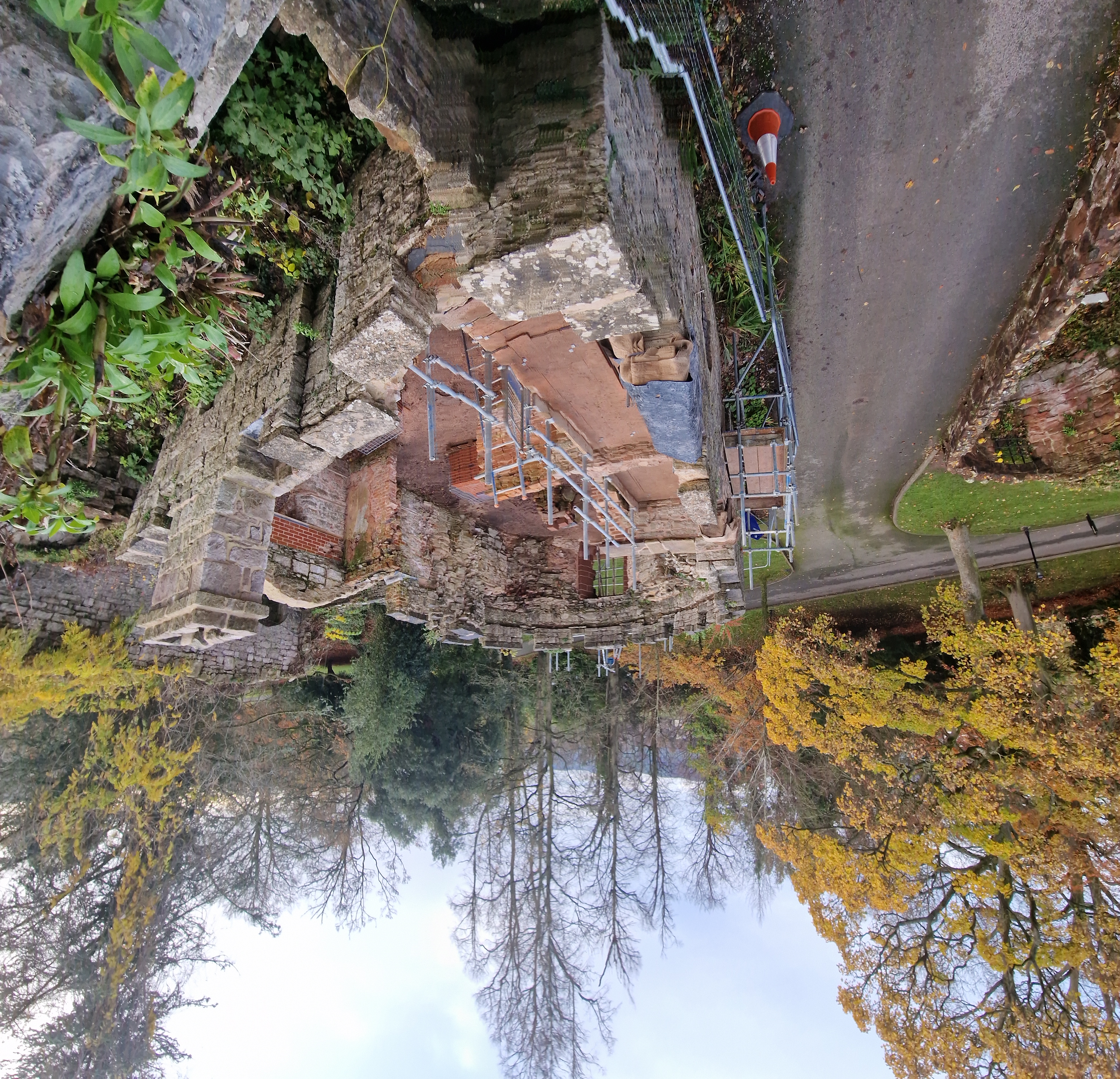
Sudeley Castle, Gloucestershire: Dating (via tree-ring dating) and recording with 3D imaging the original roofs of Sudeley Castles Outer Courtyard Ranges. The castle site dates to the anarchy but the castle was rebuilt in the fifteenth century by Lord Sudeley.
Temple House, Co. Sligo, Ireland : To co-fund the geophysical and LiDAR surveys of the site of this castle which was a preceptory (administrative centre) for the Knights Templar in Ireland. Historians have long recognized Templehouse as an example of the far-reaching influence of the Knights Templar in Western Europe. However, no scholarly research and no extensive archaeological work has been published on the site, besides a 2016 topographical survey
Tor, Highlands: Co-fund a LiDAR survey to try to locate earlier structures than the current remains of a C16 tower house. The site is thought to date to the early medieval period and was mentioned as the major site of Banquo of Macbeth fame.
Walton, Suffolk: Marine geophysical survey of the castle which collapsed into the North Sea in the eighteenth century. Originally a Roman Saxon Shore fort, it was later converted into a Norman castle by one of the Bigod earls and then destroyed by Henry II after the 1173-4 rebellion.
Subscribe to our quarterly newsletter
The applications have been sent to our assessors who will review them. You can see how the assessment process works from our blog back in January 2016: https://castlestudiestrust.org/blog/2016/01/17/how-the-castle-studies-trust-selects-its-projects/
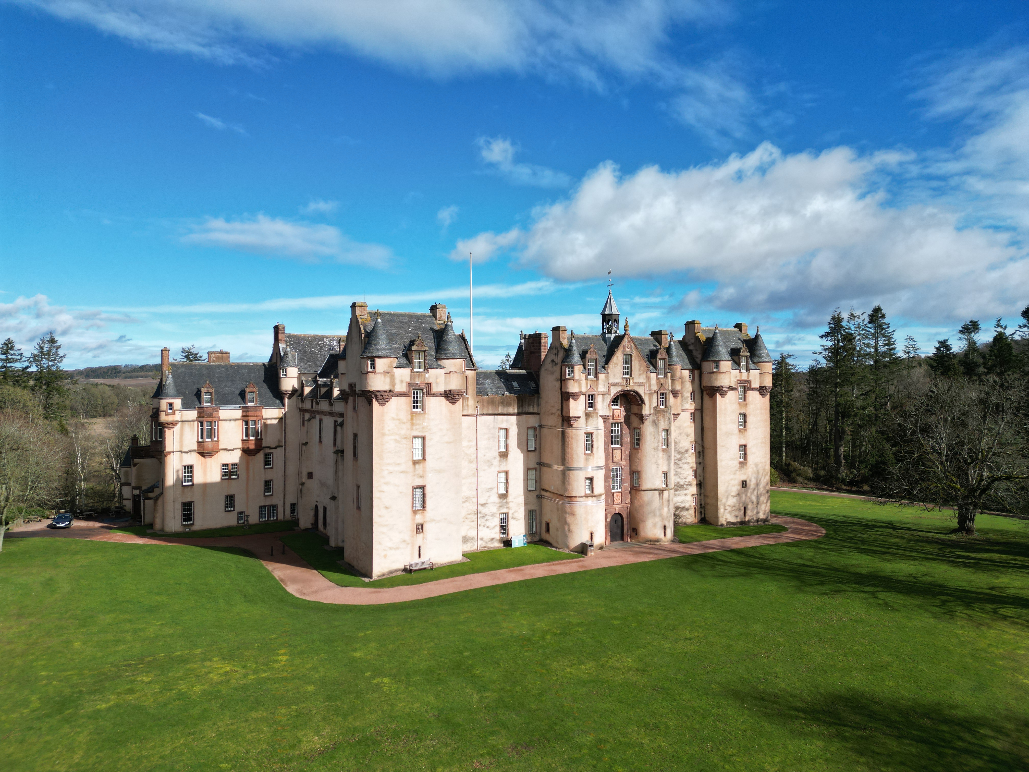
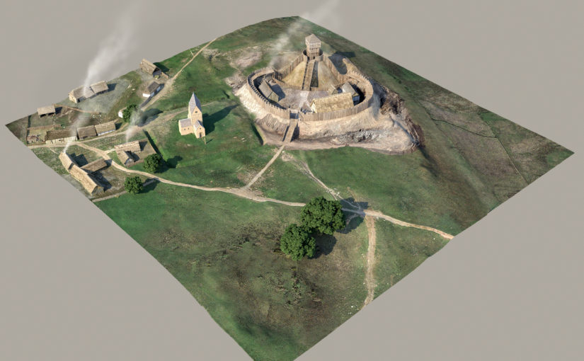
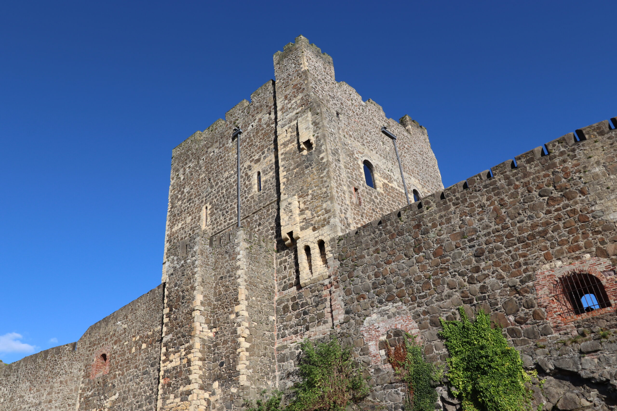
Featured image is of a reconstruction drawing of Ruthin Castle by Chris Jones-Jenkins which we co-funded previously. This does not indicate any particular preference for any project.