Your donations make our research grants possible. But the grants go beyond the initial research, into the continuing and lasting impact which carries beyond far beyond the excavation season or the granting year. Research from two Castle Studies Trust grants can be seen at the upcoming Leeds International Medieval Congress in July 2025.
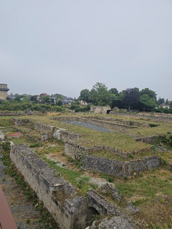
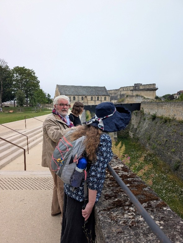
Every year, over three thousand medievalists from around the globe meet at the University of Leeds to present research, share new knowledge, make connections with others, and grow and foster the global community of medievalists. This major international conference also provides CST grantees a further platform to inform scholars about their research into castles. In 2025, under the special theme of ‘Worlds of Education,’ the Castle Studies Trust is proud to highlight papers and projects which have received CST support, financially or otherwise:
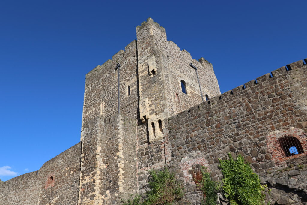
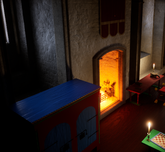
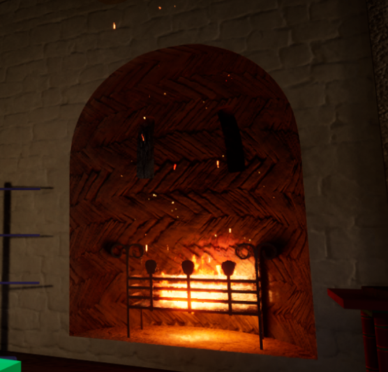
Initial images of Canterbury keep from the Visualising Canterbury Castle project, copyright Christchurch Canterbury
Prof. Leonie Hicks of Canterbury Christ Church University will be presenting initial research from Canterbury Castle in a paper titled ‘Digital Interludes: Methods of Teaching Castles.’ This work looks at her department’s digital castle work of which the project ‘Visualising Canterbury Castle,’ which was awarded £9631 from CST in 2025 is part of. This dynamic, multi-discipline project intends to create a detailed digital plan of the keep to understand the site, largely now in ruin but scheduled to reopen in correlation with the 1000th anniversary of William the Conqueror’s birth.
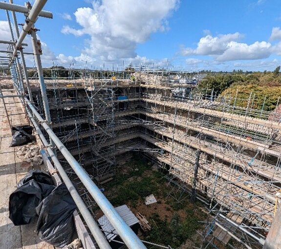
Excavating Newhouse Castle, copyright Ryan Prescott
Dr Ryan Prescott (University of Leeds) will be presenting further research on Newhouse Castle, Lincolnshire, in a paper titled ‘Reframing Newhouse Castle: Lincolnshire and the “Anarchy.”’. In 2024, this project was awarded £9867 from the Castle Studies Trust. Dr Prescott and team are seeking to understand and determine the nature of the castle at Newhouse and the lower gentry’s places within the sphere of the Anglo-Norman Civil War (1138-1154.) As seen with this paper, the impact of this award is continuing beyond the excavation which the CST funded.
Your support and donations make these projects possible, including the lasting impact we see from them in the academic sphere as well as the wider world.
Further research and outreach fostered by the Castle Studies Trust will also be seen at Leeds. For example, two papers stem from initial presentations at our 2023 CST anniversary symposium.
One of our assessors, Dr Erik Matthews with the Hornby Castle Project, Northallerton, will be presenting continuing research on ‘The Religious Experiences of an Elite Household in Medieval Wensleydale, 1000-1550.’ Dr Matthews initially presented this research on ‘Hornby Castle, Wensleydale, North Yorkshire: An Elite Holiday Home of the Later Middle Ages’ at our 2023 anniversary symposium. Dr Matthews also acts as one of the CST’s expert assessors for grant applications. You can read more about his work at Hornby at our blog.
Similarly, Dr Lorna-Jane Richardson, University of East Anglia, will be speaking at Leeds about ‘Modern Myth and ‘Medieval’ Identity: The Case of Bungay Castle.’ Dr Richardson likewise first presented this research at our 2023 anniversary symposium. You can read more about her work from her blog post here.
Possible image of Eleanor of Castile at Overton Church, copyright Rachel Swallow
More of our Trustees and Assessors are also presenting work at Leeds: Dr Rachel Swallow of Swallowtail Archaeology will present her ongoing work on Queen Eleanor of Castile and the contexts of her castles with a paper ‘Leisure, Literature and Legend: Reconstructing Edward I and Queen Eleanor of Castile’s Castles and Boroughs through Innovative Landscape Contexts.’ You can read more about Dr Swallow’s ongoing research on the topic in her blog post with CST. Dr Swallow is one of our team of expert assessors for grant applications.
Dr Katherine Weikert, University of Winchester, will present new research into castles, pedagogy and the ideas-informed society with co-researcher Ruth Luzmore (University of Southampton) in their paper, ‘Timeless Terrains: Medieval and Modern Mental Landscapes Today.’ Dr Weikert has been a Trustee of the Castle Studies Trust since 2020.
From grantees to trustees, the Castle Studies Trust is at the forefront of new, exciting research into castles. Your support makes this all possible, and donations, however small, are put to good use. Thank you for your support.
Simon Coxall, Dig Director of our Clavering Castle excavation looks at the end of the excavation and what happens next.
The excavation phase at Clavering castle neared completion in time for a community open day on Saturday 21st June 2025.
As well as welcoming around two hundred members of the public on a guided tour of the excavation trenches, the project has been blessed with visits from Historic England and Professor Robert Liddiard of the University of East Anglia.
Trenches 1 and 2 at Clavering Castle from the Air copyright Simon Coxall
Trench 1 and 2 have now been thoroughly excavated, with just a little more to do in Trench 2 of which more below. Across much of the trench the layers representing the top of the original castle platform have been reached. The castle platform approximately 100m W- E by 60m N-S and approximately 4m deep was constructed by placing a large ‘brick’ of made-up ground in the valley of the River Stort and using the course of the river as the northern arm of the moat. The remaining three arms of the moat were then cut, their contents in part being used to build up the platform. Accordingly, there is no natural on site within reach of the excavation trenches, which have a maximum depth of c 1.25m. Nevertheless the uppermost surface of the platform at the time of its original construction is identifiable across both trenches. This layer is uniform orange-brown compacted clay with flint rubble in appearance and bears no evidence for occupation.
Chalk floor of possible gatehouse porter’s lodge in trench one, copyright Jeremy Cunnington
In Trench 1 cleaning and recording casts into sharper focus the features of the gatehouse entrance to the castle estate first exposed by geophysics in 2020. This consisted of a metalled trackway approximately 4-5m in width on a broadly N-S trajectory and bordered to its east by a flint walled building (??porters lodge) with chalk rendered internal walls and surviving chalk floor. At the time of the demolition, c1540’s, the tiles of its roof cascaded onto the adjacent trackway. The external faces of this structure directly abutted the trackway but had been completely removed down to their sandy gravel base by the demolition crew. On the western side of the trackway a further structure had been even more comprehensively demolished, the evidence being limited to a scattering of flint nodules just below the topsoil and a large pit full of substantial daub with their rod impressions still intact. There appears no later disturbance of the site suggesting, following its concerted demolition, neglect sealed the site as a capsule of life on site between c1050 and 1550.
Some of the finds from 18 June from trackway of trench 1 from the earliest context excavated, copyright Jeremy Cunnington
The trackway has presented the potential for exploring a time slice of activity in this routeway area spanning the lifetime of occupation on the castle. As one descends here below the Tudor trackway, pottery recovered here stretches back from the glazed Tudor period wares through the earlier sandy wares to the shell-tempered wares dating back to the origins of the castle estate which is estimated as the mid-11th century. Small finds have also appeared: a 2cm gilded fastening or item of jewellery at some of the lowest levels in the sequence, together with a fragment of robust blue ‘vessel’ glass.
All is accompanied by hundreds of oysters within the demolition levels and hundreds of animal bones distributed through almost all contexts. Post-excavation analysis promises to define dating with greater precision.
Trench 2 from earlier in the dig, copyright Simon Coxall
Trench 2, while beyond the main evidence for structures, still betrays evidence for a concerted refashioning of the site roughly dated to the later 14th century. This coincides with historical evidence for the Neville family’s refashioning of the estate. An earlier surface cut into by ditches and pits associated with early phases of occupation, was across Trench 2 capped by a consistent capping layer of compacted sands and gravels, thus sealing the animal bone-rich contexts in such features. Approximately 1500 animal bones have been recovered across all contexts. It is intended this assemblage will be sent to a university as subject matter for a student’s zooarchaeological analysis.
The last of these ditches at the northern limits of the trench continues to descend deep into a ditch penetrating the sites’ original platform material. This continues to produce pottery including a large fragment of medieval mortarium and more animal bone some, of which will find themselves submitted for C14 analysis. These sealed dark humic contexts also lend themselves as key areas of environmental sampling which is being done by Oxford Archaeology East.
As with all sites, as trenches begin to be filled in, the work has only just begun.
Excavation Director, and lead archaeologist for the past two decades in the investigation of Clavering Castle sets the scene for what they hope to find over the the next three weeks.
Norman knights fleeing the forces of Earl Godwin of Wessex coupled with miraculous encounters between King Edward the Confessor and St John the Evangelist form just part of the shady historical drama hidden behind the leafy tranquillity of Clavering Castle in north-west Essex.
The scheduled site of Clavering castle is recognised as a rare example of a castle established in Anglo-Saxon England before the Norman Conquest. The castle has been subject of a twenty year programme of detailed historical and archaeological research by the Clavering Landscape History Group. This summer, archaeologists led by Simon Coxall of Warboys Archaeology Group, under a consent granted by Historic England and supported by the Castle Studies Trust, have a unique opportunity to explore by excavation this mysterious and previously unexcavated site.
Clavering LiDAR base
The castle platform which is entirely man-made is surrounded on all sides by imposing moated defences c4m deep and sits in the valley of the river Stort which evidence suggests witnessed significant diversion and management of its river system to accommodate the estate.
Resistivity Survey of Clavering Castle Platform, copyright Warboys Archaeology
Geophysical survey suggests structures occupying twin courtyards once existed spanning across the sub-rectangular platform which measures c100m x 60m. The Castle platform abuts the parish churchyard to its south. Here further geophysical survey suggests the location of the now ‘lost’ chapel of St John the Evangelist which bore witness to Edward the Confessor’s aforementioned ‘Miracle of the Ring’. The twin courtyards appear connected to one another by an entrance court which issued out onto a bridged crossing of the moat connecting the castle with the family chapel where the alleged miracle occurred. It is suspected the geophysical evidence primarily relates to the powerful Neville family’s reconstruction of the castle site in the later 14th century, although some more ephemeral readings hint at the presence of earlier structures.
The Nevilles were arguably the most powerful baronial family in England during the 15th century and were through their marriage alliances with the Plantagenet royal family at the forefront of the dynastic conflicts now known as the Wars of the Roses. Clavering was selected by the Nevilles as their southern caput, these notorious northern lords presiding over their lordship and hundred of Clavering lying just a day’s ride from London. Clavering castle was successively held by the Neville Earls of Westmorland, Richard Earl of Salisbury, Richard Earl of Warwick and, through his Neville wife, George Duke of Clarence, the executed brother of the Yorkist kings Edward IV and Richard III. With the fall of the house of Neville the castle was seized by the Crown and stayed a crown possession until it was granted back to effectively the last Neville lord of Clavering – Margaret Pole, Countess of Salisbury (1473-1541) Though she refurbished elements of the castle and chapel in the 1520’s, as a devout Catholic and one of the last surviving scions of the Plantagenet royal family she too was executed on the orders of Henry VIII in 1541.
Beneath the levels denoting the Neville tenure of the lordship, archaeologists are hopeful of encountering earlier evidence of the de Clavering and FitzWymarc occupation of the castle. The de Claverings were, like the Nevilles, powerful lords of the north who feature extensively as Magna Carta sureties and later campaigning knights under Edward I and Edward II. With Robert FitzWymarc (c1030-1075) we return to the pre-conquest evidence that promises to push the history of the site back a thousand years to the dying days of Anglo-Saxon England.
Clavering Castle Platform looking east, copyright Simon Coxall
This summer’s excavations will initially focus upon the key area around the entrance court connecting the castle platform with the adjacent churchyard. Such will seek to explore the entrance court and bridged crossing, the various phases involved in their construction, the materials used and its status, whilst testing the geophysical responses.
Digging deeper still, in the same key area archaeologists are hopeful of exploring the earliest evidence for the construction of the castle platform as revealed by the layers underlying the later medieval structures on site. In doing so fresh light will be shone upon the earliest days of castle construction in medieval England.
The conquest of Wales in 1283 did more than enforce English military control over Gwynedd: it reshaped the cultural and symbolic landscape of both the principality and its borderlands. At the centre of this transformation was Queen Eleanor of Castile. Though often overshadowed by her husband, King Edward I, Eleanor’s influence on the ideological dimensions of conquest has received increasing attention. My recent publication has focused on Caernarfon Castle in Gwynedd, re-evaluating its design in the light of Eleanor’s cultural and political presence: see Living the Dream. This blog also touches briefly on her involvement with Overton, historically in Flintshire and now part of Wrexham Borough.
Eleanor’s broader impact on the architectural and material culture of the crown is becoming more widely acknowledged, especially in relation to estates and gardens. Yet her role in the narrative landscapes of conquest, particularly in Wales, has remained underexplored. Caernarfon Castle, long seen primarily as a fortress and statement of English dominance, may also be read as part of a more deliberate, symbolic project – one in which Eleanor’s influence shaped both meaning and memory.
Image of Eleanor of Castille (probable) at Overton Parish Church. Copyright Rachel Swallow
Born into the Castilian royal family around 1241, Eleanor brought with her an appreciation for garden culture, symbolic space, and the communicative potential of architecture. She shared Edward’s interest in Arthurian and Roman imperial narratives, themes that appear in the design language of his castle builds in Gwynedd. At Caernarfon, such symbolism could well have echoed ideas of conquest – not simply as occupation, but as renewal through continuity and legend.
Caernarfon Castle’s banded masonry may have been intended to recall the Theodosian walls of Constantinople, visually linking Edward’s authority with that of Roman emperors. Its location near the Roman fort of Segontium strengthens this earlier interpretation, suggesting a conscious linking of past imperial power to present rule. Yet the site also draws from native Welsh tradition, particularly from the medieval Welsh romance, The Dream of Macsen Wledig, in which the Roman emperor Macsen dreams of a great fortress beside a river, where he meets Elen Luyddog, a Welsh noblewoman who becomes his queen.
Macsen Wledig is not merely mythical: he corresponds to the historical figure Magnus Maximus, proclaimed emperor in Britannia, and later Gaul, in the late 4th century and whose memory was preserved in Welsh legend and genealogy. Magnus was said to have married his daughter to the British king Vortigern—a story enshrined on the Pillar of Eliseg near Valle Crucis Abbey in Denbighshire. The alignment of Eleanor with Elen—a queen associated with building, mediation, and dynastic continuity—would have positioned her within a narrative of legitimacy that transcended simple conquest.
Queen’s Gate, Caernarfon Castle, with motte evident. Copyright Rachel Swallow
This symbolic layering is most clearly visible at the Queen’s Gate at Caernarfon. Set above the landscape beyond and to the east of the walls of the castle and town walls, and with no obvious external access, I suggest that the gate served as a gloriette: an elevated, private space from which the castle’s elite landscape could be viewed. It overlooked a garden laid out in the former bailey of the Earl of Chester’s late-11th-century motte-and-bailey castle, recorded in 1284 as the garden previously belonging to the Welsh Prince’s llys (palace). This elevated viewpoint and garden arrangement is strikingly like Eleanor’s garden and gloriette at Leeds Castle, constructed in 1278. Replacing the former garden of the Welsh Princes, therefore, Eleanor transformed a site of pre-conquest identity into an English and Castilian landscape at Caernarfon.
Segontium Fort, Caernarfon. View from East. Copyright Rachel Swallow
Beyond the garden lay the route later known as the King’s Way, following an old Roman road from the Queen’s Gate from the east of the castle site to Segontium fort and the early Christian site of St Peblig. This axis—linking Roman, sacred, and regal geographies—was further extended through the nearby royal hunting park at Coed Helen. The resulting landscape echoed and enhanced upon the ceremonial design of Eleanor’s other gardens and estates, and brought together memory, power, and place.
Map showing location of Overton in relation to Edward’s Welsh Castles
Elsewhere, Eleanor’s influence now appears more discreetly. At Overton, then in Flintshire, granted to her as part of her dower lands in 1283, the traces of Eleanor’s presence are quieter but still significant. The site—once a Powysian princely centre—was visited multiple times by Eleanor and Edward and was elevated to borough status in 1292. Contemporary sources refer to a castle, chapel, mill, and gardens. In 1284, Eleanor commissioned stained glass for the chapel and hosted a feast there with the entertainment of over 1,000 Welsh minstrels – an ostentatious display of political theatre.
North of Overton. View north west of hills of Clwydian Range. Copyright Rachel Swallow
Overton’s significance extended beyond its material fabric. It lay within a region imbued with historical and legendary associations, particularly those of Powys, whose rulers claimed descent from Magnus Maximus. This legendary lineage, recorded on the Pillar of Eliseg near Valle Crucis Abbey, presented Powys as a kingdom with both Roman and British roots.
The geography of Powys is also preserved in another legendary dream: The Dream of Rhonabwy, a Middle Welsh tale set during the reign of Madog ap Maredudd, the last prince of the entire kingdom of Powys. In this story, Rhonabwy dreams of travelling back to the court of King Arthur, and the landscape described places Powys stretching from Porffordd (modern Pulford in Cheshire, north of Overton) to Gwarfan in Arwystli.
By considering Caernarfon and Overton together—not as isolated places, but as connected elements within Eleanor’s political and symbolic geography—we gain a deeper understanding of how legend, landscape, and queenship intersected in the making of English authority in Wales. Eleanor emerges not simply as a consort, but as a queen whose influence shaped a vision of rule grounded in ancient Welsh tales, place, and space.
My ongoing research and future publication are uncovering the form and probable siting of the lost castle at Overton, revealing its full role within the broader narrative of royal presence and designed landscape. Watch this space!
Rachel Swallow FSA (Swallowtail Archaeology ) is an archaeologist whose research has reshaped our understanding of castles and their landscapes. Elected as a Fellow of the Society of Antiquaries of London in 2018, her work explores the social, political, and architectural significance of these sites within their broader contexts. Rachel completed her PhD in 2015, and she is a Visiting Research Fellow at the University of Chester and holds an honorary fellowship at the University of Liverpool.
The Castle Studies Trust is delighted to announce the award of five grants, totalling a record amount of £42,000, to a wide range of projects with different types of research. The amount means that since our foundation we will have given over £300,000 to castle research projects – a landmark to celebrate.
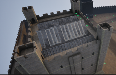
Canterbury, Kent: To create an interactive digital model of the castle’s keep. The keep is one of the largest surviving from early Norman England dating to the late eleventh / early twelfth century. Now much ruined and inaccessible to visitors due to instability, the project will use the findings of previous archaeological research to create an interactive model. Work will start in March and be completed within ten months.
Clavering Castle platform copyright Simon Coxall
Clavering, Essex: To fund an excavation to help understand the development of the site which was occupied for over 600 years and which could be one of the very few pre-conquest castles in the UK. The excavation will build on the extensive survey work carried out by the local group of the site. They are planning to do the excavations in June.
Crookston Castle copyright Friends of Crookston
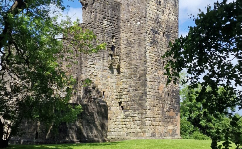
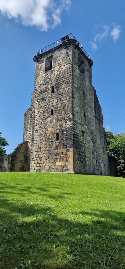
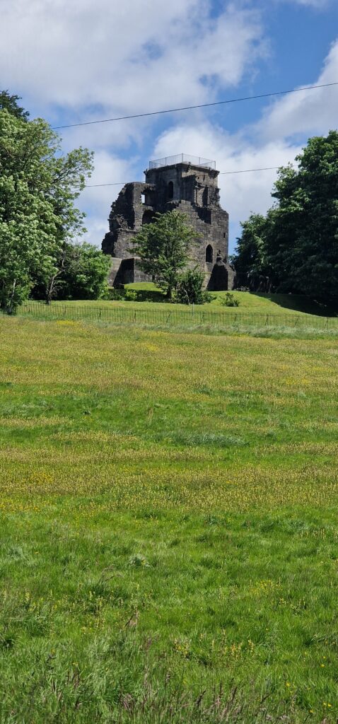
Crookston, Glasgow: A community-led geophysical survey, using multiple techniques, through which the Friends of Crookston Castle in conjunction with HES hope to learn more about Glasgow’s only castle. While the standing remains are believed to date from the early fifteenth century, it is believed that the castle dates back to the twelfth century. The group hopes to discover evidence of that earlier history and whether it was based on an earlier Iron Age hillfort. They plan to do the survey in early August.
Knepp Castle copyright Richard Nevell
Knepp, West Sussex: An excavation building on a geophysical survey to better understand the site’s development and its relationship to the local area of this important baronial centre thought to be built by the de Braose family. The first documentary evidence is from 1210 when it was under royal control, documenting repairs, while the geophysical survey shows activity that pre-dates the extant stone tower. Excavations are planned for late July/ early August 2025.
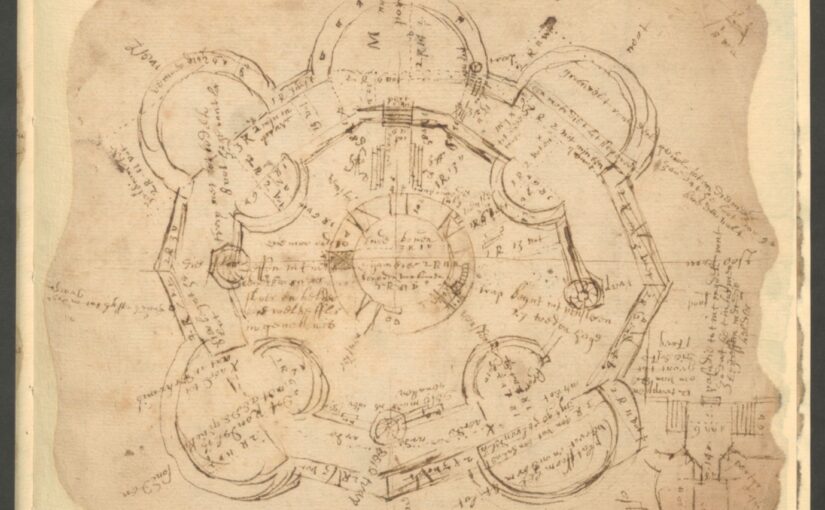
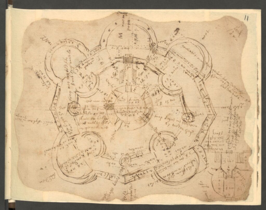
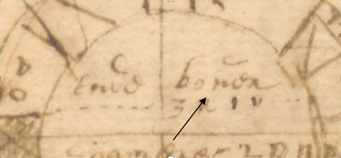
Image of Transcript copyright Esther van Raamsdonk
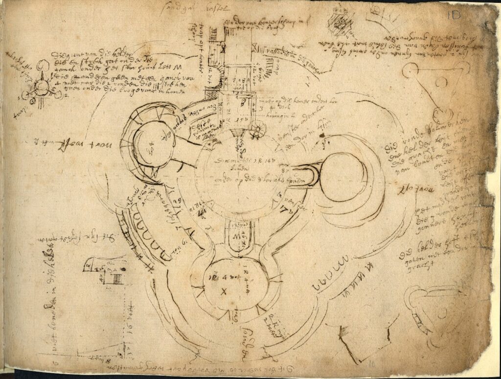
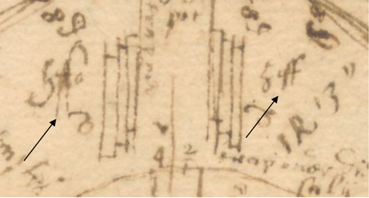
Transcription and translation of C17 Dutch Engineer’s Survey of English castles and fortifications: A joint project between Dutch academic Dr Esther van Raamsdonk and English Heritage to transcribe and translate part of an early seventeenth-century manuscript of a Dutch surveyor’s examination of castles and forts in England. The sample covers five of the 22 castles and fortifications in the document, which is called SP 9/99, held by the National Archives in Kew. The sample will include Dover, Walmer and Deal. The document is filled with detailed drawings and maps of these fortifications with often lengthy descriptions of their condition. Esther has already started work on it.
Dr Ryan Prescott, project lead, looks at what the excavations at Newhouse have uncovered, now the final report is in.
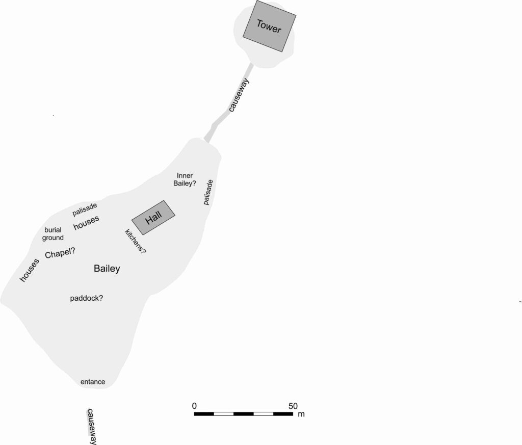
In June 2024, a team from Humber Field Archaeology completed a trial excavation at the presumed site of Newhouse Castle in Brocklesby, North Lincolnshire, generously funded by the Castle Studies Trust. The fieldwork, which followed a geophysical survey conducted in 2023, aimed to uncover evidence of the castle which was soon replaced by a monastery during the period known as ‘The Anarchy’. The results of the excavation, now available in the post-excavation report, have provided fascinating insights into the site’s more complex history.
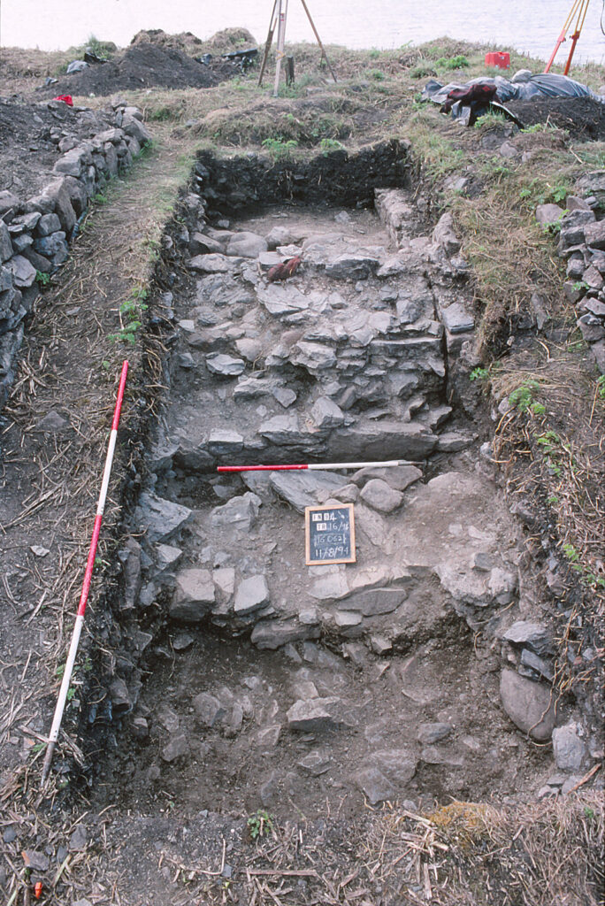
Two trenches were carefully excavated, revealing a narrative that spans many more centuries than what had previously been understood about the site:
Prehistoric Activity: Flint tools and pottery fragments hinted at Neolithic and Bronze Age activity, suggesting the site has held importance for millennia.
Anglo-Saxon Origins: A potted cremation burial, complete with grave goods like a knife and a decorated glass bead, was unearthed in Trench 1. This burial, dating back to the mid-6th century, suggests the site was already significant long before the construction of the castle and abbey at Newhouse. Nearby, leather and woven textile fragments were recovered, providing a rare glimpse into the craftsmanship of the era.
Medieval Ditches: Sections of a moat-like ditch encircling the earthwork were excavated. Their sharp cuts and rapid infilling suggest limited use. Although devoid of finds evidence (very frustrating!), a post hole was recovered near to the ditch within the interior of the earthwork, possibly tied to the short-lived history of Newhouse Castle.
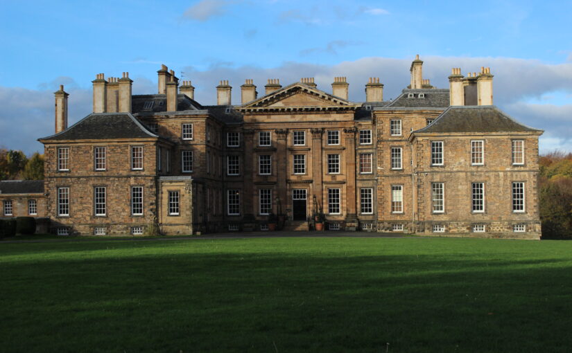
Post-Medieval Activity: Traces of later use included 17th-century brick deposits, potentially linked to landscaping efforts attributed to Capability Brown when it would appear that material was moved across the site in this new phase of occupancy.
Pottery fragments and flint tools show how the site was occupied long before the mid-twelfth century.Early Modern brick assemblages underline the continued use of the site following the Dissolution of the Monasteries.
Summary
The findings from Newhouse underline the site’s long-term occupation and its ongoing significance in the landscape of North Lincolnshire. Although no definitive structural remains of the castle were identified (this was always going to be tricky!), the excavation enhances our understanding of how the site evolved—from its prehistoric roots, to its medieval prominence, and beyond.
The full post-excavation report is now available, offering a detailed account of the discoveries and their importance. Perhaps inevitably, we have sparked potentially more questions than answers. However, we have nonetheless helped to advance the debate and our understanding of this intriguing site. We extend our gratitude to the Castle Studies Trust for their support.
The final report is on the project page of our website.
English Heritage is pleased to be a recipient of a generous grant from the Castle Studies Trust to create a new reconstruction image of Penrith Castle (Cumbria, England). Grant co-awardee Will Wyeth (Properties Historian, English Heritage) discusses this work in the context of the charity’s ambitions for public history.
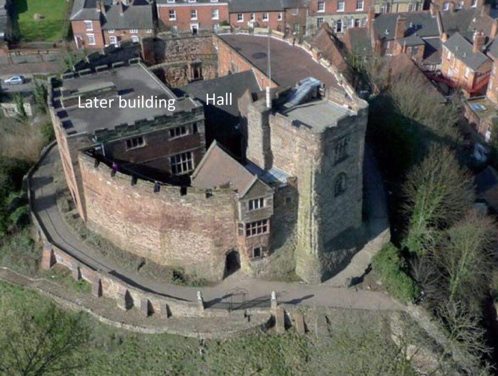
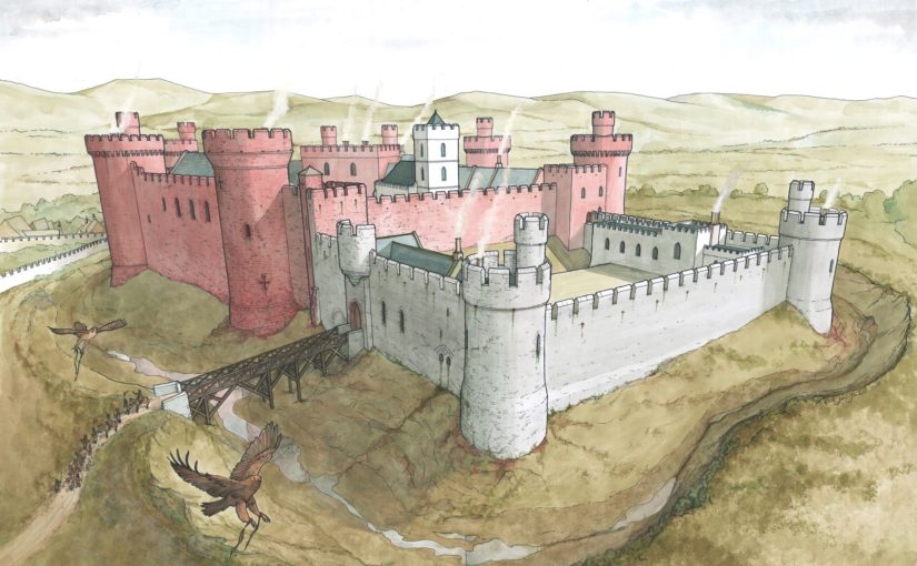
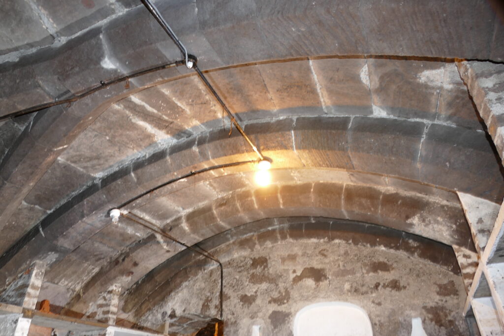
The castle of Penrith, made of striking red stone, is arranged in four roughly equal ranges bounding a central off-square courtyard. Of the two towers there survives, the Red Tower retains its north-east wall and, and the White Tower a vaulted ground-floor chamber.
Scholarly consensus ascribes three major phases of construction in the castle: a primary phase of the very late 14th century and two 15th-century phases, the latter of which was the more extensive. It is this last phase, credited to Richard Duke of Gloucester, which is the focus of the reconstruction image.
The castle today is thoroughly urban, and sits within a public park popular with residents and visitors alike. There are several panels offering information about the castle, including an aerial reconstruction of the site in the mid-15th century.
The existing reconstruction remains an excellent image. The ranges and towers are carried to full height, the lost courtyard is rebuilt and populated with buildings, while tiny human figures are visible across the site. However, as with many aerial reconstruction images, it has limitations as a device for public history. The image does not aid site orientation for visitors unfamiliar with the ruins or Penrith proper; and life at a human scale is difficult to imagine.
The new reconstruction aimed to address these limitations as well as draw in a further source of guidance. The work of looking after and developing the public history of English Heritage’s properties is supported by a worthy army of volunteers. Penrith Castle is lucky to have one such volunteer, Joanna, who is a true steward of the site’s public history and has led several tours of the castle, gathering feedback on visitors’ responses to it, and the available interpretation. Through Joanna’s experience, we realised we needed a new image, and imagining, of the castle and its everyday inhabitants.
It was necessary to start the process of identifying spaces in the castle from scratch. Several 16th-century surveys mention buildings and spaces with attendant measurements, but the detail is misleading. The missing portions of the site fabric today prohibit confidently identifying spaces such as a hall, chamber, kitchen, accommodations, etc. Certain architectural features survive which can help, but a convincing and comprehensive reconstruction was not achievable.
Figure 3. Buck brothers’ image of Penrith Castle, 1739. The segment of walling on the left with three tall round-headed windows probably depicts a better-surviving portion of the column of stone in Figure 1. In the centre of the image is the tall block (tower?) positioned on the western corner of the castle, now almost completely lost.
Some early images help to locate specific buildings. The Buck image of the castle (1739) illustrates the castle in a more complete state than today – including a complete section of walling where only the reveals and partial window-head of the ‘hall’ survives today – but it also testifies to the presence of a lost tall block positioned on the castle’s west corner (Figure 4).
The great hall was identified by the tall windows in Bucks’ image. This is an unorthodox position. It was unusual for a great hall to be positioned so close to the formal entrance to the castle (in the hall’s primary phase, positioned at the east end of the south range; in Gloucester’s time, just west of the hall). The kitchens which serviced it were also on the other side of the enclosure.
Other ideas were mooted. The presence of a chapel identified with some confidence at the upper level of the east corner of the castle precluded identification with this space in that capacity (see Figure 1). It is possible the three-windowed space was a private or state chamber. While feasible, this pushes the necessity of a great hall elsewhere in the castle where there is not space for it. The high wall outer wall of the surviving south-east range has few outer windows of any significance; the south-west range was, it would seem, dominated by the large tower depicted in the Bucks’ image and resting upon masonry identified with Gloucester’s work; while the north-west range in Gloucester’s time had a number of fireplaces at ground floor whose flues would rise through a first-floor hall set above them, making this alternative, hypothetical arrangement unlikely. For want of alternatives the present consensus, that that hall was in the positioned identified by the Bucks’ three-window wall, is probably correct.
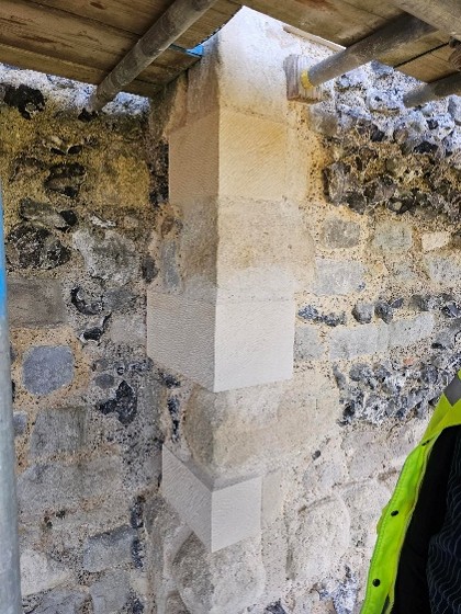
The new image was developed in collaboration with artist Pete Urmston from an existing photograph (Figure 4, left). This captured several parts of the site which we wanted to reconstruct – the great hall with access stairs, Red Tower and parts of the Gloucester-era gatehouse. It incorporates the part of the castle most familiar to passers-by – the Red Tower – and an assemblage of standing features which in general visitors find difficult to understand. This perspective also granted greater flexibility to create scenes of human interaction in the foreground of the image which might populate the castle and convey a sense of Penrith’s medieval community.
Figure 4. Base photograph used for reconstruction (top); first draft of reconstruction (bottom). Note the column of stone on the left image with window reveals is replicated (rebuilt) on the right.
The process of reconstruction begins with a line sketch superimposed upon the base photograph (Figure 4), and hereafter a sequence of amendments and insertions ultimately leads to the final image (Figure 5). The cutaway into the great hall, and beyond into the Red Tower, gives some sense of the grandeur and scale of lost interiors. The clerestory in the hall, inferred from antiquarian sketches and some degree of analogy with that at Middleham Castle, is defined by windows set on a wall carried by a projecting corbel table. A two-door timber screen of late 15th-century design covers off the lower part of the hall. The window-heads of the gatehouse first-floor echo surviving dressed stone fragments found at Penrith.
Perhaps most significantly, the castle is populated with a scene from its tenure by Richard of Gloucester – a meeting of castle staff with tenants and poor folk to hear pleas. A single figure who is attested at the castle and whose presence would be in keeping with a day-to-day scene in castle life in the late 15th-century is represented: Sir Christopher Moresby, depicted on the far left standing with a staff and wearing a green coat (Figure 6).
Moresby supervises under-stewards seated on stools and by a trestle table. Just in front of the restored stair block where a figure descends, painted in Gloucester’s colours of white and blue, are two boys sweeping the yard (Figure 7). Their attention has been captured by a black and white cat standing on top of some barrels. Behind them, through the cutaway, are two figures in the hall basement. One is just entering while the other is sampling (perhaps illicitly) the stores of ale.
In the hall at first floor are three parallel scenes: well-dressed figures are assembled on a long bench and trestle table in the hall proper. A woman enters the screened area at the low end of the hall from the buttery in the first floor of the Red Tower, visible through the inner cutaway. Leaning upon the sole standing piece of wall that survives in this space today, two servants are bringing down a blue hanging.
The new reconstruction aims to place the people of Penrith Castle at the centre of its re-imagination, while bringing back its lost buildings and interiors. In time the image will feature on a new panel scheme in the castle. In the immediate short-term, Joanna the volunteer is already armed with the image and sharing the new light it brings to the castle with visitors.
Post graduate student Tom Davies explains how he has taken some of the latest civil engineering techniques to help understand the condition of the stone work of old buildings, using Durham Castle as a case study.
Durham Castle was the building of interest for my master’s research project in 2023/4. Durham Castle has an incredible history, being founded in 1072 on the orders of William the Conqueror, to being the seat of the Prince Bishops, to now being part of a UNESCO World Heritage Site and University College for Durham University. The Castle’s rich history and architectural significance makes it preservation crucial, ensuring that its historic features are maintained for future generations.
My research was based on understanding how a section centred around and above the Norman Chapel, the oldest building in County Durham, behaves under ambient excitation. Every structure experiences ambient excitation under normal operating conditions, it is the study of how a structure moves due to natural stimuli such as how it reacts to windy conditions and how it responds to when people move through the structure. Within the section I investigated, the Norman Chapel was on the ground floor, the Senate Rooms on the first floor, and some of the rooms of the Norman Gallery were on the second floor, with the roof above. These spaces, along with their remarkable examples of Norman architecture, make the conservation of this part of the Castle especially vital. The first non-destructive in situ testing I conducted was ambient vibration testing. This involves using multiple accelerometers in orthogonal directions (at right angles, seen in Figure 2) to record how the structure responds to ambient excitation, in this case measurements were undertaken on a windy day. Every building vibrates naturally at its natural frequency, which is determined by the building materials and structural connections of the building among other conditions. The taller the building, the lower the natural frequency, as they are more flexible. The Castle section I looked at is 3 storeys high, so one would expect a higher natural frequency than that of a structure such as the main tower of Durham Cathedral, which is 66m tall. The recorded accelerations were converted into frequency measurements which revealed information about the natural frequencies. This conversion is important, as when plots are made, it is possible to see different modes of vibration.
Copyright Tom Davies
In order to characterise the masonry parameters that were used in the numerical model and subsequent simulations, another type of non-destructive in situ test was performed, sonic tests. Some tests were undertaken within the Norman Chapel, as this is the oldest part of the Castle, and its masonry has therefore been subject to the most deterioration of any internal section of the Castle due to its age. Additional tests on a masonry panel in a Gallery (corridor) just outside the Norman Chapel were conducted, this is because this Gallery is a very similar age to the masonry of the rooms above the Norman Chapel, from around the 1600s. From this, the different ages, and therefore state of deterioration, of the masonry within the Castle could be included.
Copyright Tom Davies
Sonic tests involve hitting the masonry, gently, with an instrumented hammer, shown in Figure 3, and recording the time it took for the subsequent waveform to be registered on an oscilloscope (a machine that shows waves) connected to an accelerometer. Figure 3 shows how this process works, there are two types of waves: P and R waves. The main difference is one travels along the surface of the stone, and the other travels into the stone and reflects off the back of it and returns to the surface. I will focus on the P waves (their names are quite confusing, but it is interesting to know that you can obtain the desired outcome, here the determination of material properties, using either wave). From the recorded wave you can work out the speed of the wave, and using equations you can work out material properties. This is an incredibly important in defining the characteristics of the material within the numerical model. I constructed a finite element model and applied appropriate boundary conditions to represent the foundations of the building, as well as the connections between the section I was investigating and the rest of the Castle. I used the results of the sonic tests mentioned above to determine the masonry material parameters. From the numerical simulations, global frequencies were determined and compared to the results of the ambient vibration testing. global frequency, I mean results that represent the structure as a whole, rather than only a little part of it such as the tower you can see in Figure 4b, or an individual wall. The goal of the finite element model was for its results to be as close to the results of the ambient vibration testing as possible, as this would indicate the model was good at replicating the actual behaviour of the building.
Copyright Tom Davies
Looking forward, there is a plan to undertake a multi-year project to investigate Durham Castle on a much larger scale, building on the work I have done with the target of investigating the entire Castle. The most intriguing prospect is that when a full finite element model of the entirety of the Castle is built, simulations of different loading conditions can be investigated. This would allow different situations to be modelled and the results determined before any physical changes were done to the Castle.
On Saturday, 24 August, the Higgins Museum in Bedford hosts an event to mark eight centuries since the town’s castle was subject to an 8-week long siege by the army of the teenage King Henry III (booking details at the end). Dr Peter Purton, FSA, outlines what happened in the siege.
Not much remains now of Bedford Castle – just a degraded and much altered mound near the river Great Ouse in the town centre and a few excavated fragments of stone buildings, making it hard to visualise that it was once a large stone-built fortress with a moat, barbican, two wards and a stone tower on top of the motte which marked the original castle built after the Norman Conquest. A display board nearby reconstructs its possible appearance in 1224.
Image of display board showing how Bedford might have looked in 1224
In that year, Henry III was assembling an army which was to be transported to France in an attempt to recover Poitou, part of the once extensive Angevin empire. This plan unravelled with the rebellion of Fawkes de Breauté. Fawkes had been one of the captains of King John, Henry’s father, and had become rich and powerful. He had been granted Bedford castle and we are told that he had strengthened the fortifications to make it “impregnable”. Rebelling against the crown, he prudently left the country while leaving Bedford in the hands of his brother, who in arresting the justices sent there by the king made it inevitable that he would face royal retribution: this was a direct insult to royal authority and following years of civil war and rebellion following John’s reign, there was no possibility that it could be ignored. The royal army, assembling conveniently nearby at Northampton, was diverted to Bedford. What happened next was recorded in several contemporary chronicles while royal expenditure was detailed in surviving accounts, a combination of evidence which is rare enough and which allows an unusually detailed reconstruction of the siege.
The royal army deployed seven stone-throwing engines (mangonels and petraries) and built two siege towers but the garrison resisted stoutly and inflicted heavy casualties on the attackers. Eventually the barbican and outer ward were breached and captured by royal soldiers then miners, summoned from the Forest of Dean, brought down the wall of the inner bailey and did the same with the tower on the motte, to which the defenders had withdrawn. The prisoners were set free and the entire garrison was hanged as punishment for their rebellion. The castle was then demolished. A period of instability in England was thereby ended, but so too was English rule in Poitou, the French capturing La Rochelle at the same time as Bedford was being besieged.
These events were therefore of international as well as national significance, and through archaeology, it is possible to now know much more about Bedford castle. All these themes will be discussed at the conference on 24 August, the speakers are Professor David Carpenter, expert and author specialising in this period, Dr James Petre who has written about Bedford, Ben Murtagh who has been exploring Bedford Castle, Jeremy Oetgen (Albion Archaeology) who will update us on a long history of archaeology on the site, and the author of this blog who will place the siege in the context of contemporary siege warfare.
Anyone interested in attending can find all the details and book a ticket at the museum website: www.thehigginsbedford.org.uk. Tickets cost £15 and advance booking is encouraged.
Project lead, Steve Parry, looks at what he and the team from MoLA and the Higham Ferrers Archaeology and Research Society hope to achieve during their geophysical survey of the once royal castle of Higham Ferrers starting on Monday 15 July 2024.
Walking through the streets of Higham Ferrers you’d be forgiven for thinking that you are looking at a pretty but provincial town. However, documentary records reveal that Higham Ferrers once played a role on the national stage. During the Middle Ages it had a substantial stone-built castle which served as the headquarters of the extensive Northamptonshire landholdings of the Duchy of Lancaster and from 1399, became a possession of the Crown. This castle, which was also the manor, would have been the focal point of the medieval town along with other fine nearby buildings including the Church of St Mary, the School House, the Bede House or hospital and the College founded by Henry Chichele, Archbishop of Canterbury before 1425. While these other buildings have survived to the present day the castle fell into disuse and was demolished in the early sixteenth century, with Henry VIII granting building materials from the site for the rebuilding of Kimbolton Castle. John Norden’s map of 1591 shows the site of the castle (‘b’) as broken masonry and uneven ground adjacent to the church, and all that now remains are a ruined dovecote, fishponds, and rabbit warren.
A detail of John Norden’s Map of Higham Ferrers 1591
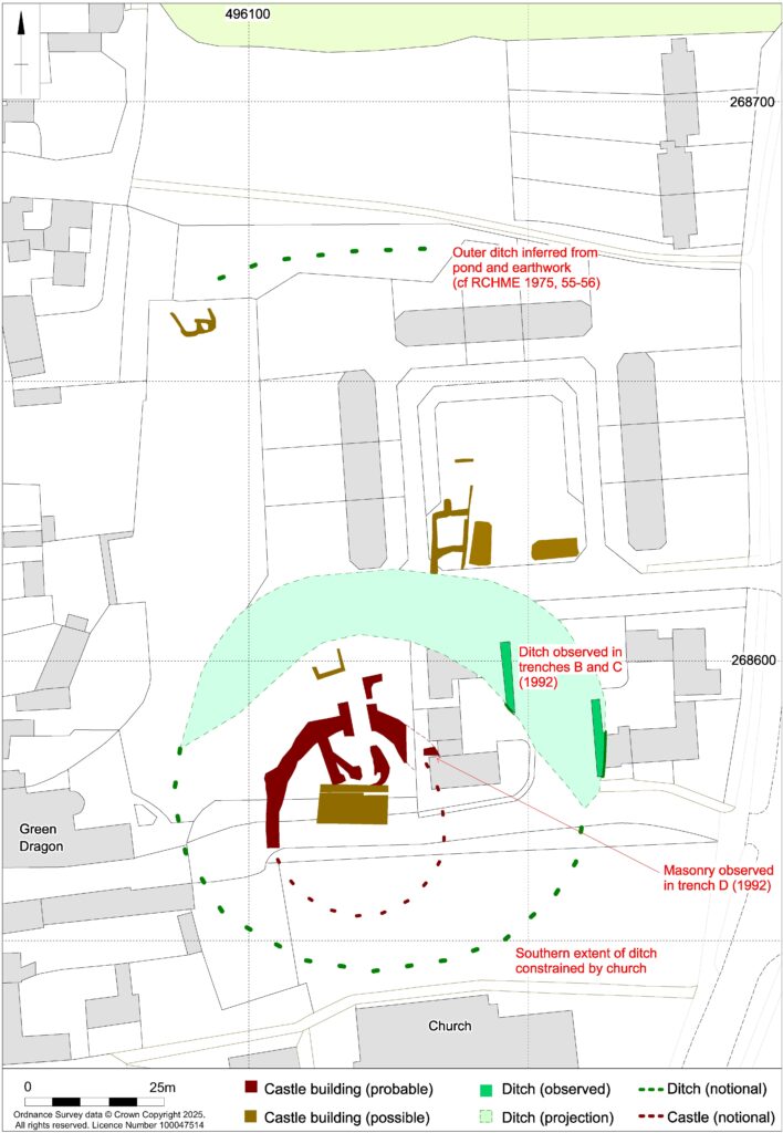
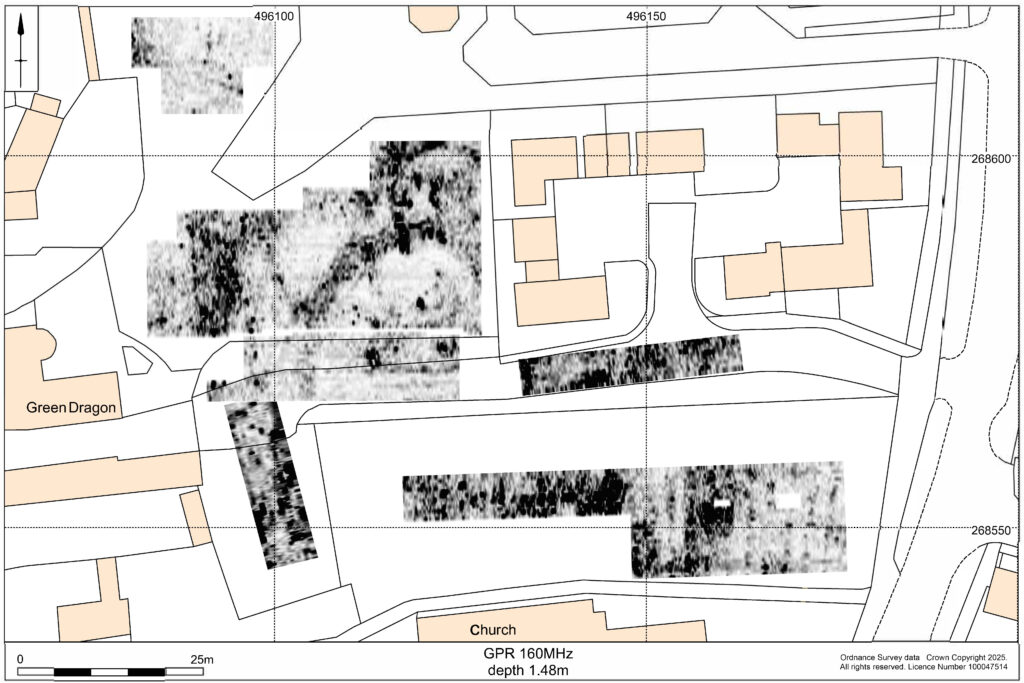
Thanks to a generous grant from the Castle Studies Trust, Museum of London Archaeology (MOLA), will work with Finham Heritage and members of the Higham Ferrers Archaeology and Research Society (HiFARS) to reveal Higham Ferrers’ royal connections through a series of geophysical surveys. We will use a magnetometer to identify any substantial ditches around the castle, as well as the buried remains of internal features such as robbed-out walls, hearths, and pits. Alongside this, the team will use ground penetrating radar to locate the principal buildings of the castle confirming (or denying!) what our documentary sources tell us – that this substantial medieval building included a hall, chapel, tower house, King’s and Queen’s Chambers, not forgetting three substantial gates. Finally, a resistivity survey will be undertaken, with the particular support of HiFARS members, to provide further detailed information on any buried wall foundations or other structural remains. The surveys will be undertaken in the various plots shown in this photograph from the 1980s extending from the church (top centre) to the small wood (bottom left-hand corner).
Aerial photograph of Higham Ferrers NCC9668_004 Reproduced by permission of Northamptonshire HER
Together with the documentary sources, the geophysical surveys will, we hope, shed light on the evolution of the site by:
Seeking evidence of a late Saxon and early medieval manor pre-dating the construction of the castle.
Testing the widespread assumption that a motte and bailey castle was built by William Peveril, who held the manor in 1086.
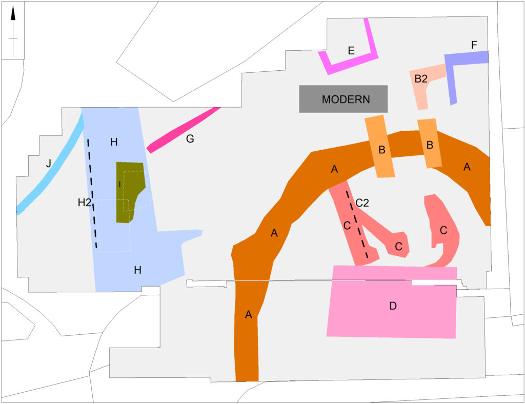
Attempting to map the layout of the late medieval stone castle.
The findings of the surveys will be considered alongside those of limited excavations in 1992, to see how the castle and its associated buildings fit within the development of Higham Ferrers from a Saxon administrative centre to medieval market town. The results and conclusions will be shared via a public lecture and published as a report on the Castle Studies Trust website.