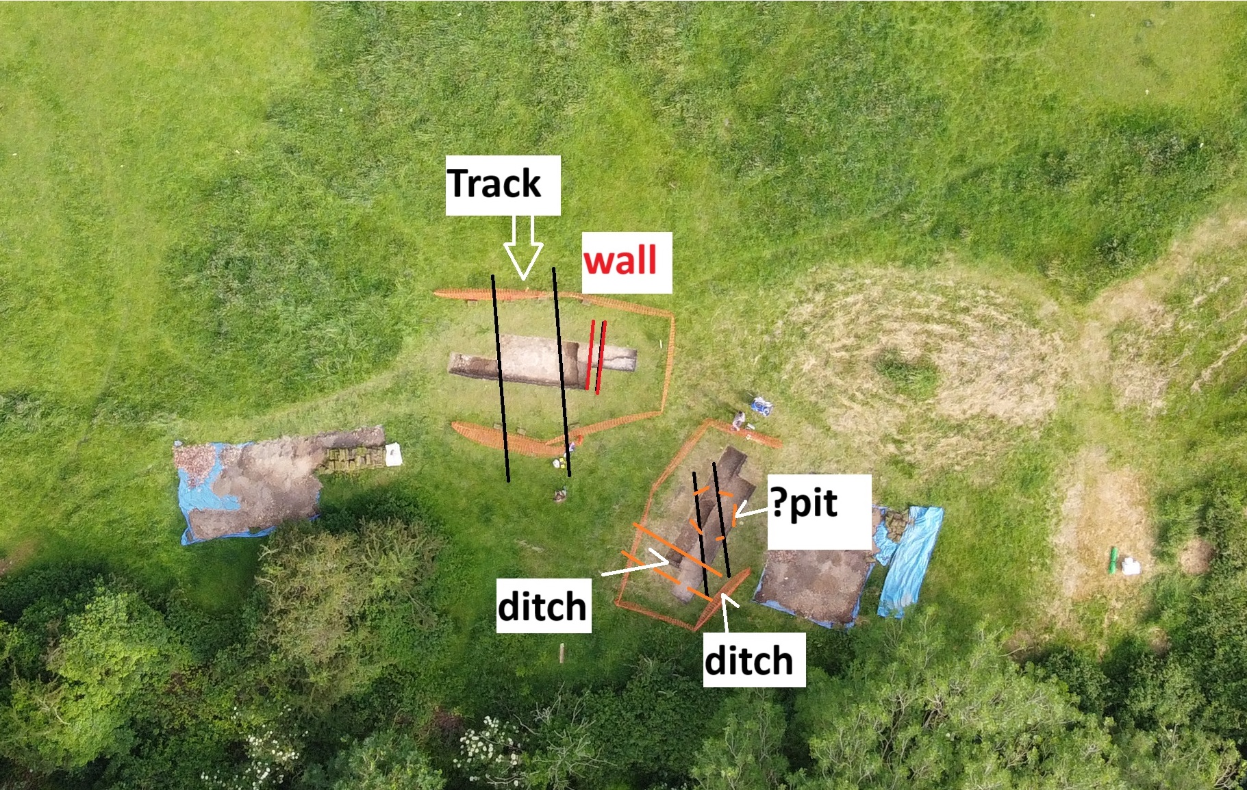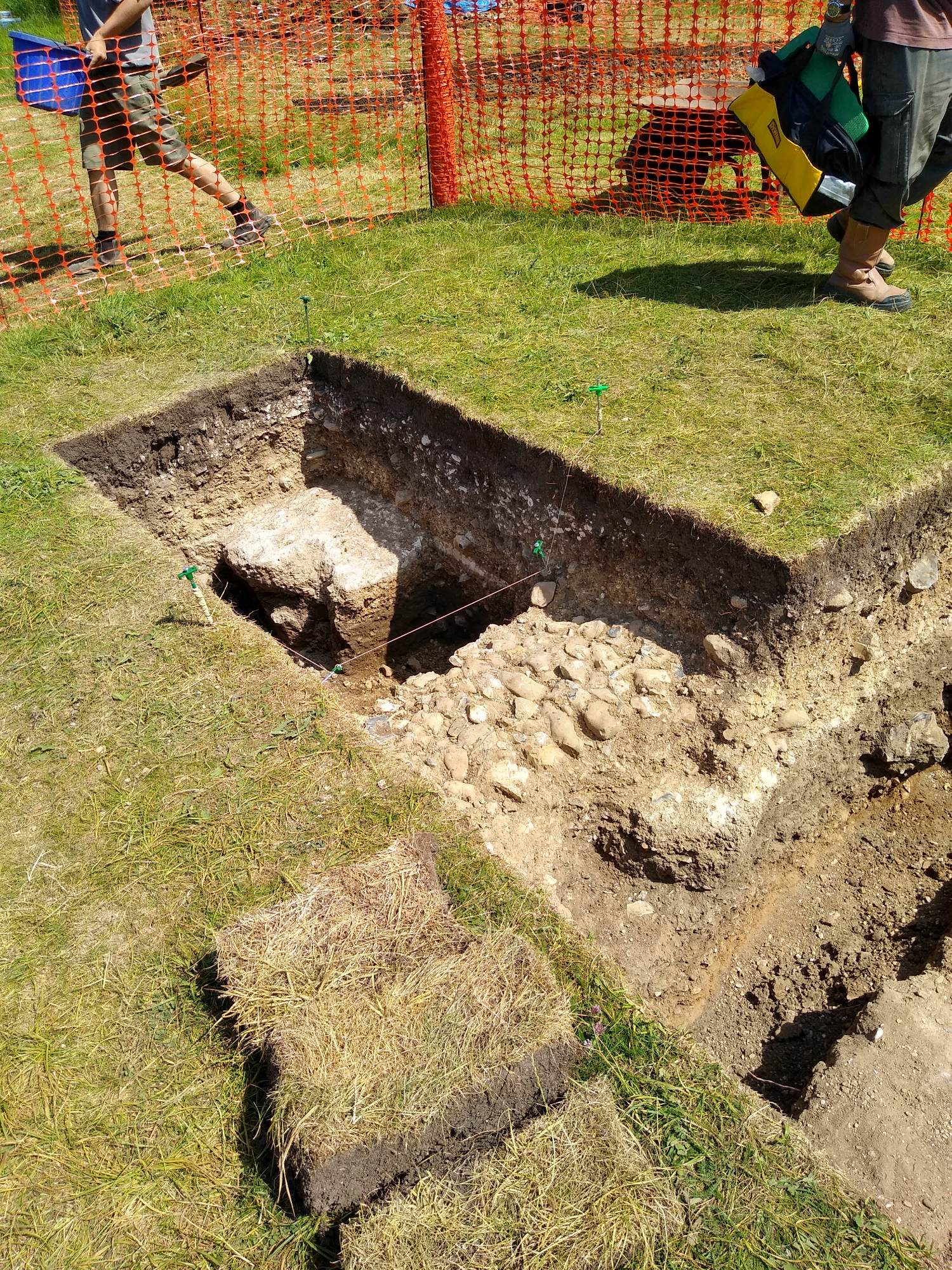
The Castle Studies Trust is delighted to announce the award of eight grants, totalling a record £44,500, to a wide range of projects involving a wide variety of research methods. This total means that, since our foundation, we will have given nearly £350,000 to castle research projects – a landmark to celebrate.
Subscribe to our quarterly newsletter
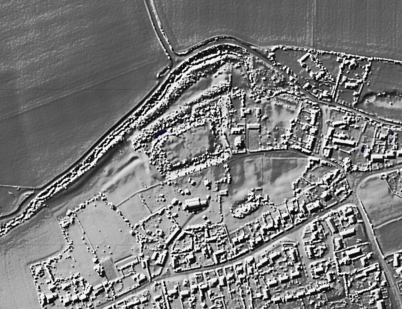
Cockermouth, Cumbria: Cockermouth Castle is an extensively surviving major multi-phase northern fortress whose evolutionary history has never been subject to systematic or formal assessment. The building survey will focus upon developing a detailed understanding of the physical fabric of the castle’s inner ward structures with a view to mapping their evolution, and to provide contextualization by relating the major building periods to the site’s known history and occupancy, and in terms of the broader evolution of castle architecture. The survey will be carried out by Tom Addyman with the support of Edward Impey and Richard Oram.
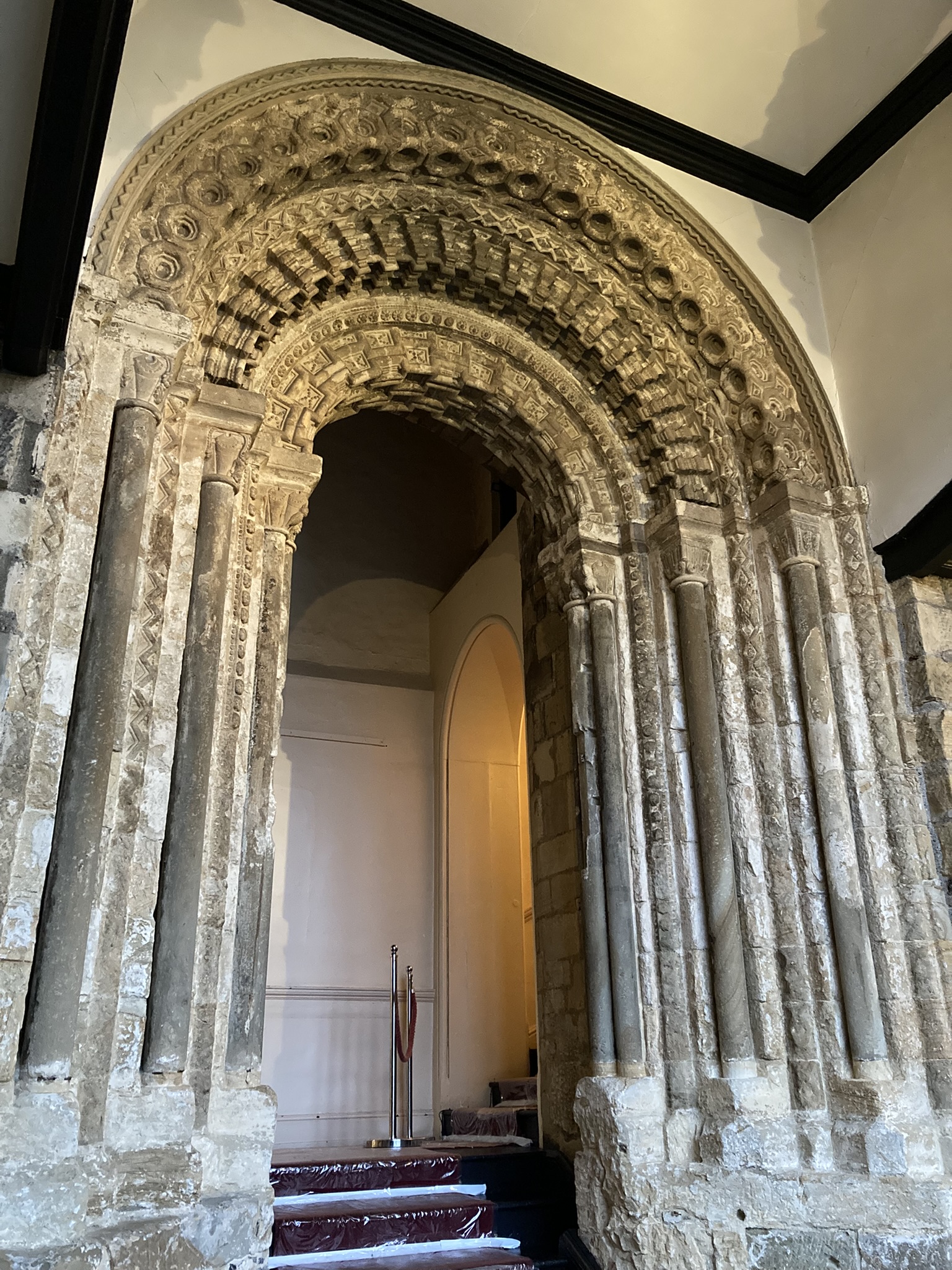
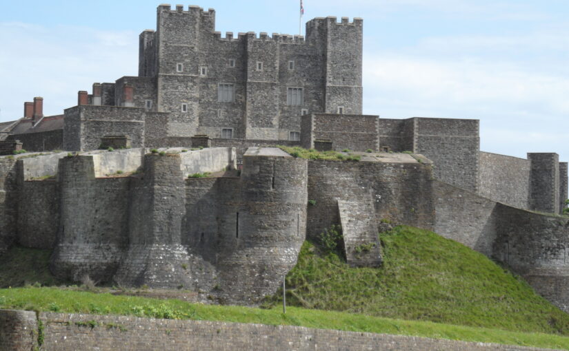
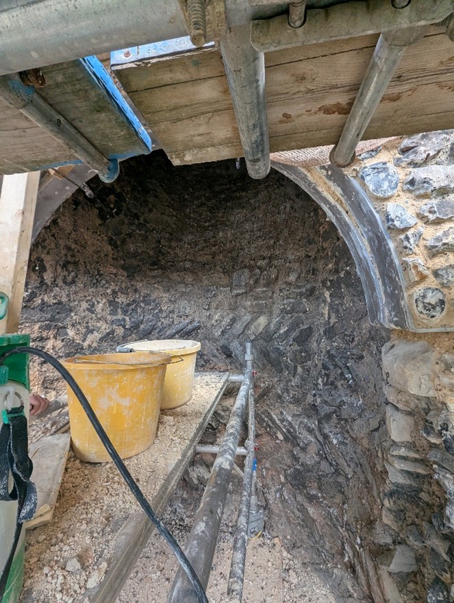
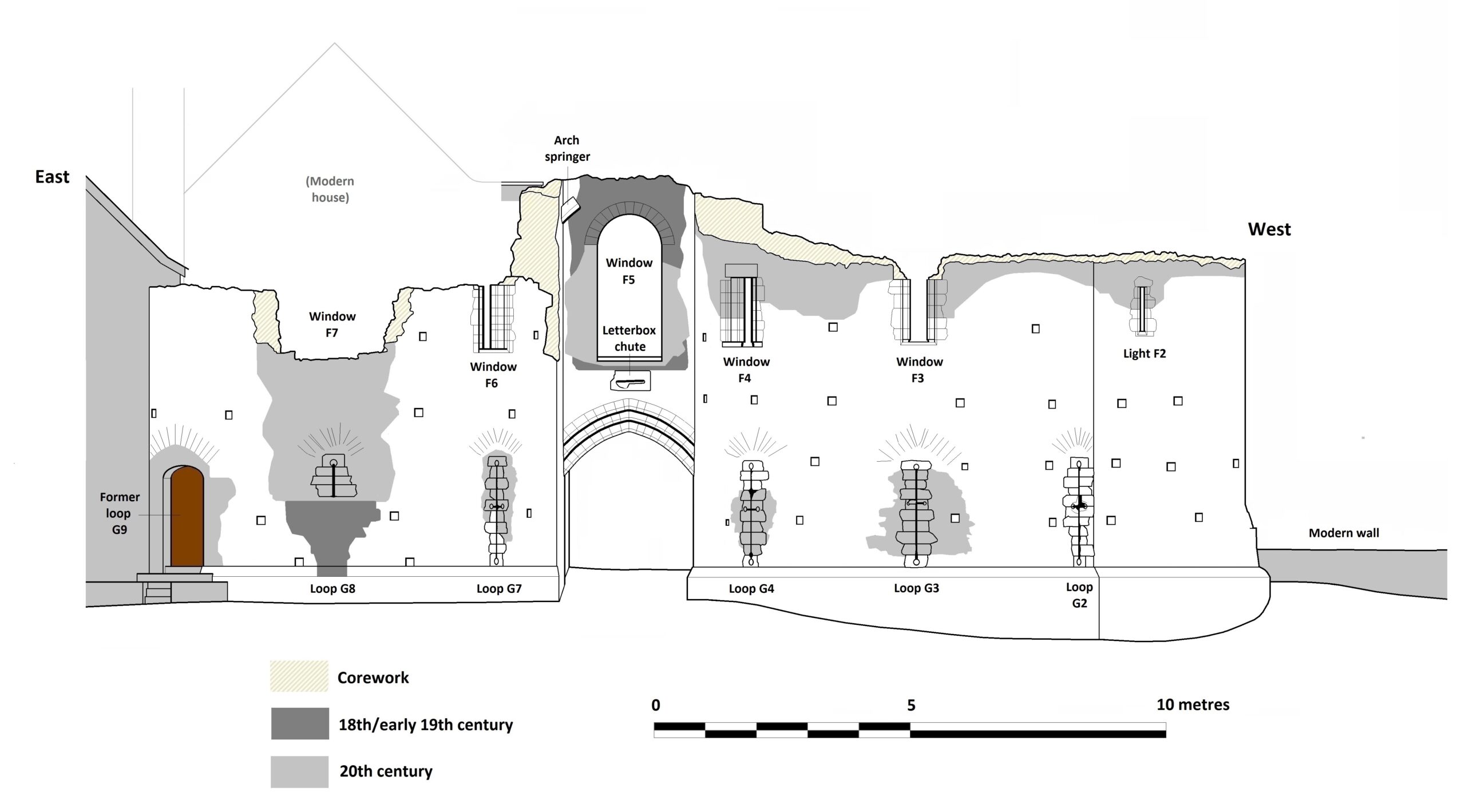
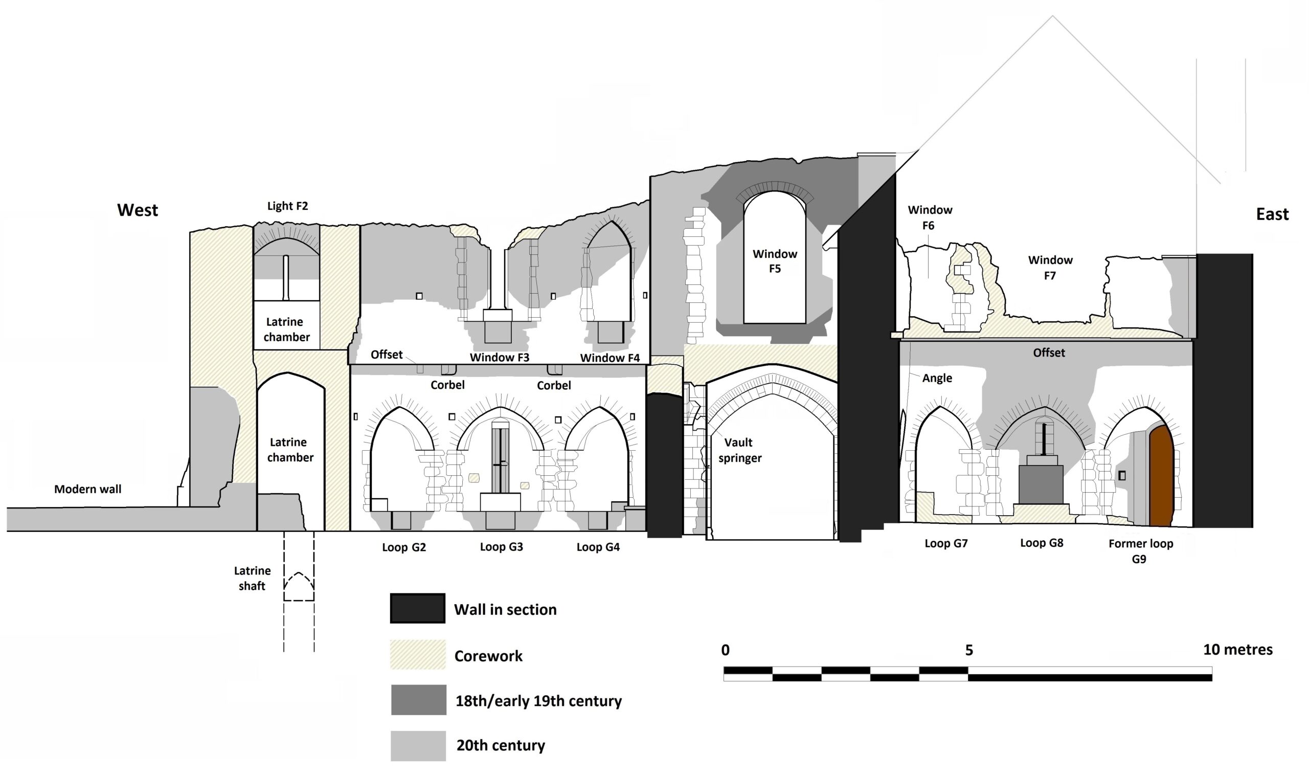
Durham Castle, County Durham: Investigating the Twelfth-Century Entranceway of Durham Castle. The aim of the project is to utilise digital archaeological techniques to create high-resolution images and models of the twelfth-century archway into Durham Castle’s North Range, enabling detailed investigation of the architectural features. The Durham University team carrying out the work will be led by Andrew Ferrara and Giles Gasper.
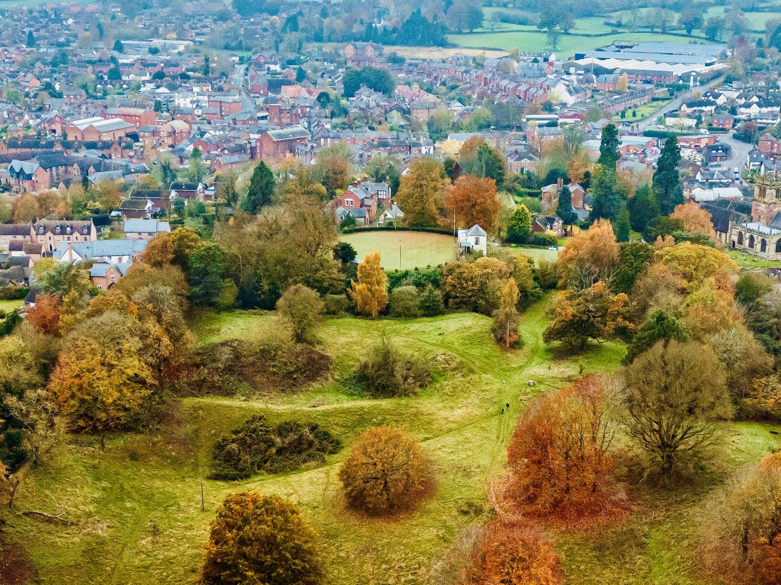
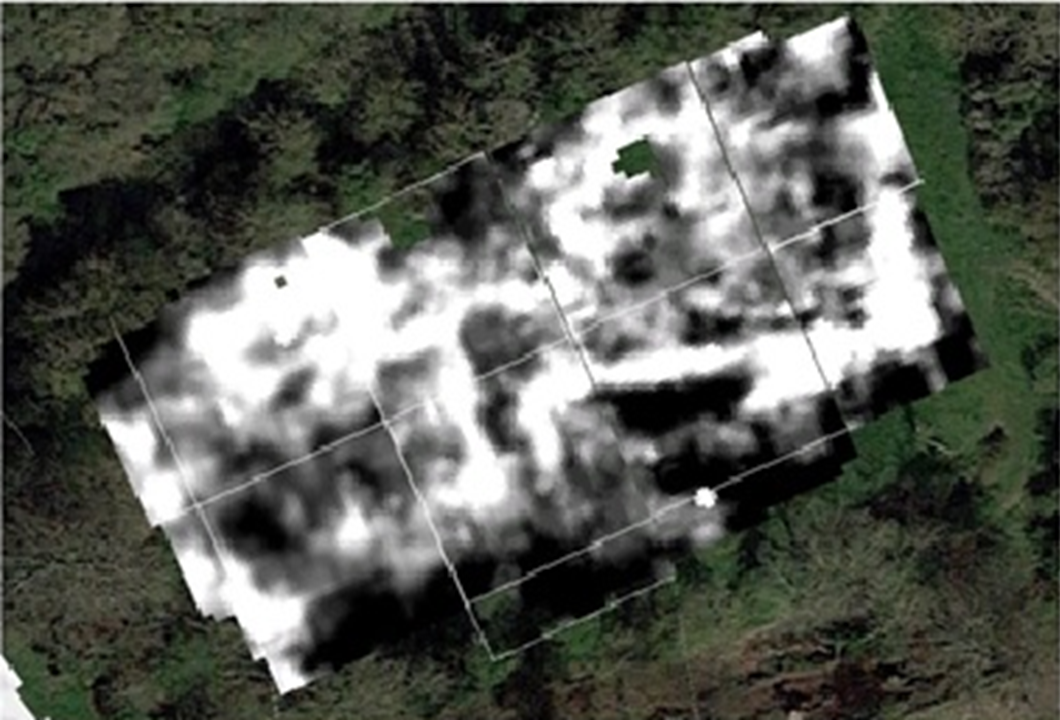
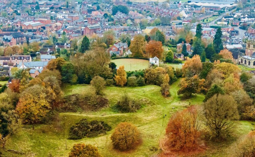
Ellesmere, Shropshire: Geophysical survey of the large motte and bailey castle in Shropshire which, prior to June 2024, had never been surveyed before when the large motte was surveyed by GPR which revealed possible buildings. The resistivity and magnetometry surveys would confirm that, as well as extend the survey to the rest of the site which played an active part in the Marcher disputes in the reign of Henry III. The survey, carried out by Heneb, will take place in the week starting 9 March, with the results ready in the early summer.
Subscribe to our quarterly newsletter
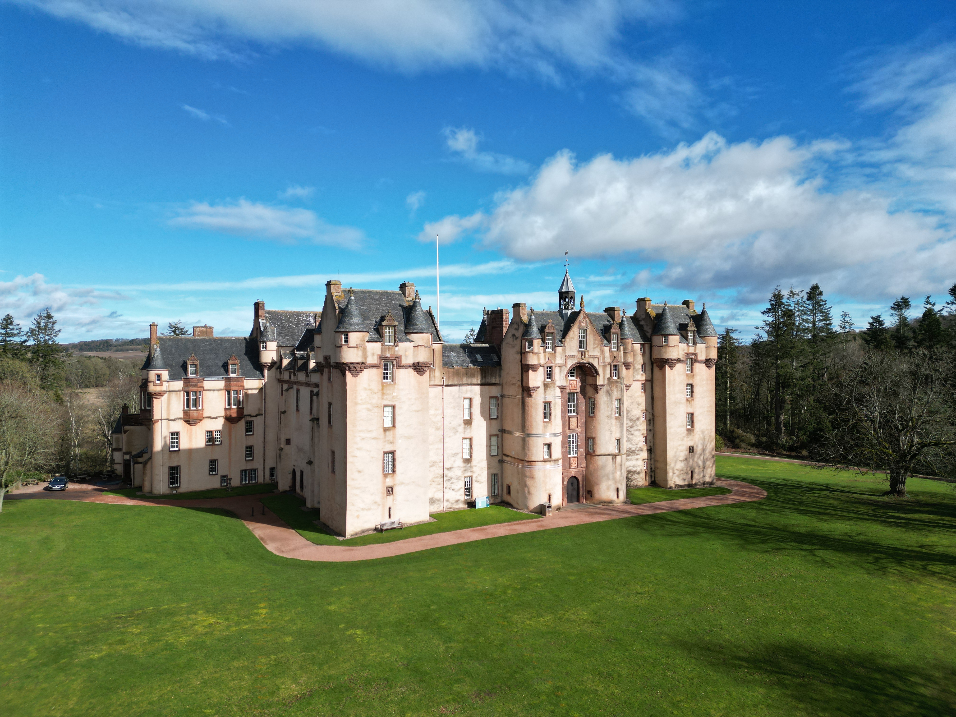
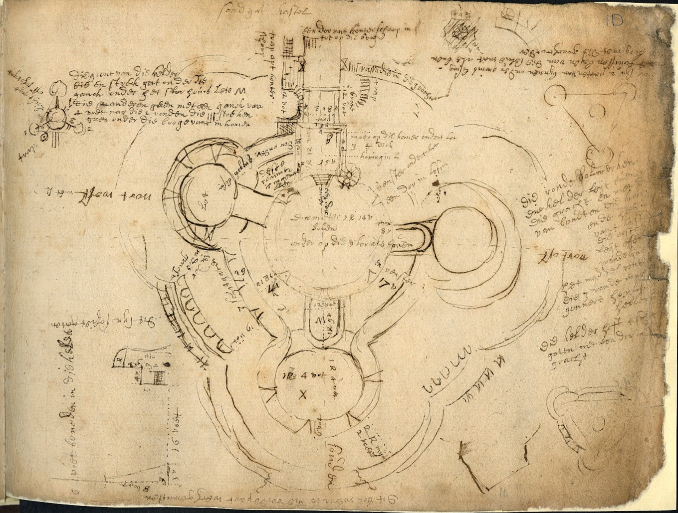
Fyvie, Aberdeenshire: The project aims to create new interpretation drawings to showcase key stages in the architectural development of the castle, which dates to the thirteenth century, and share these as part of outreach and engagement. The drawings by Jan Dunbar will be commissioned by Annie Robertson of the National Trust and are expected to start in April.
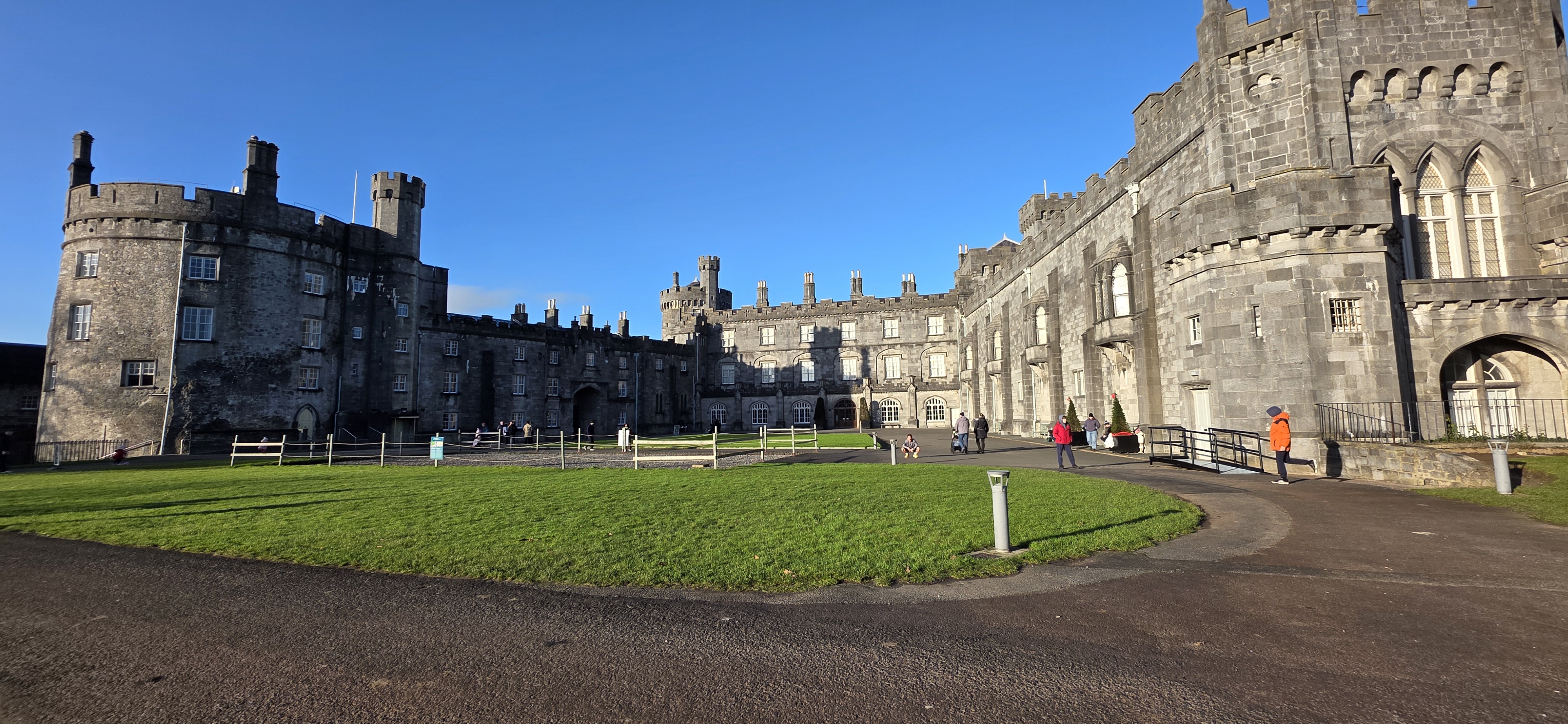
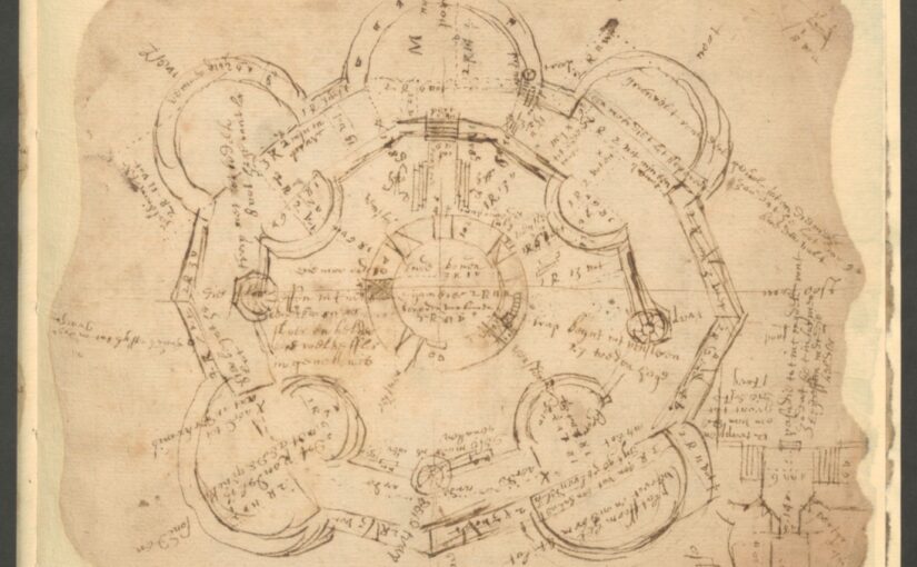
Kilkenny, Leinster, Republic of Ireland: This project proposes the use of geophysical survey to locate and map the lost Flemingstown of Kilkenny Castle – a unique example of a purpose-built Flemish colonial suburb. While some of the outer ward has already been investigated, the one area missing has been around the site of the township’s tower. The geophysical survey will be carried out by The Discovery Programme and will take place in early to mid March, led by David Stone with the support of Susan Currant and Coilin O Drisceoil.
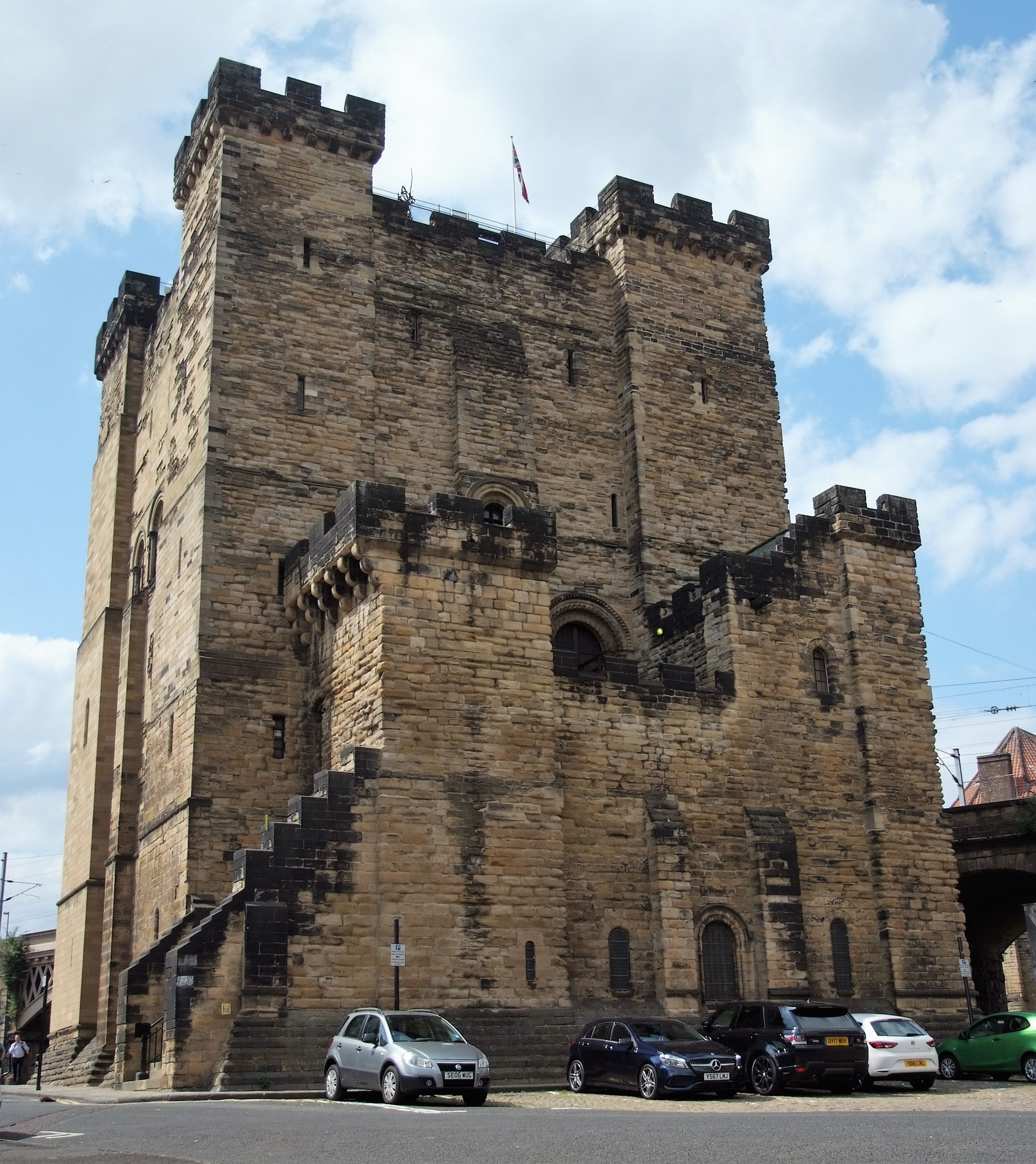
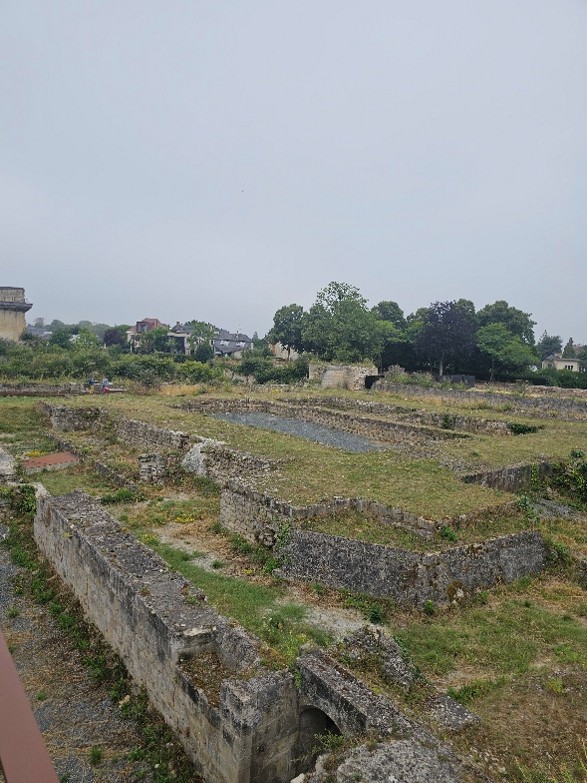
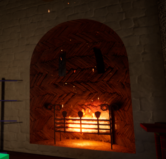
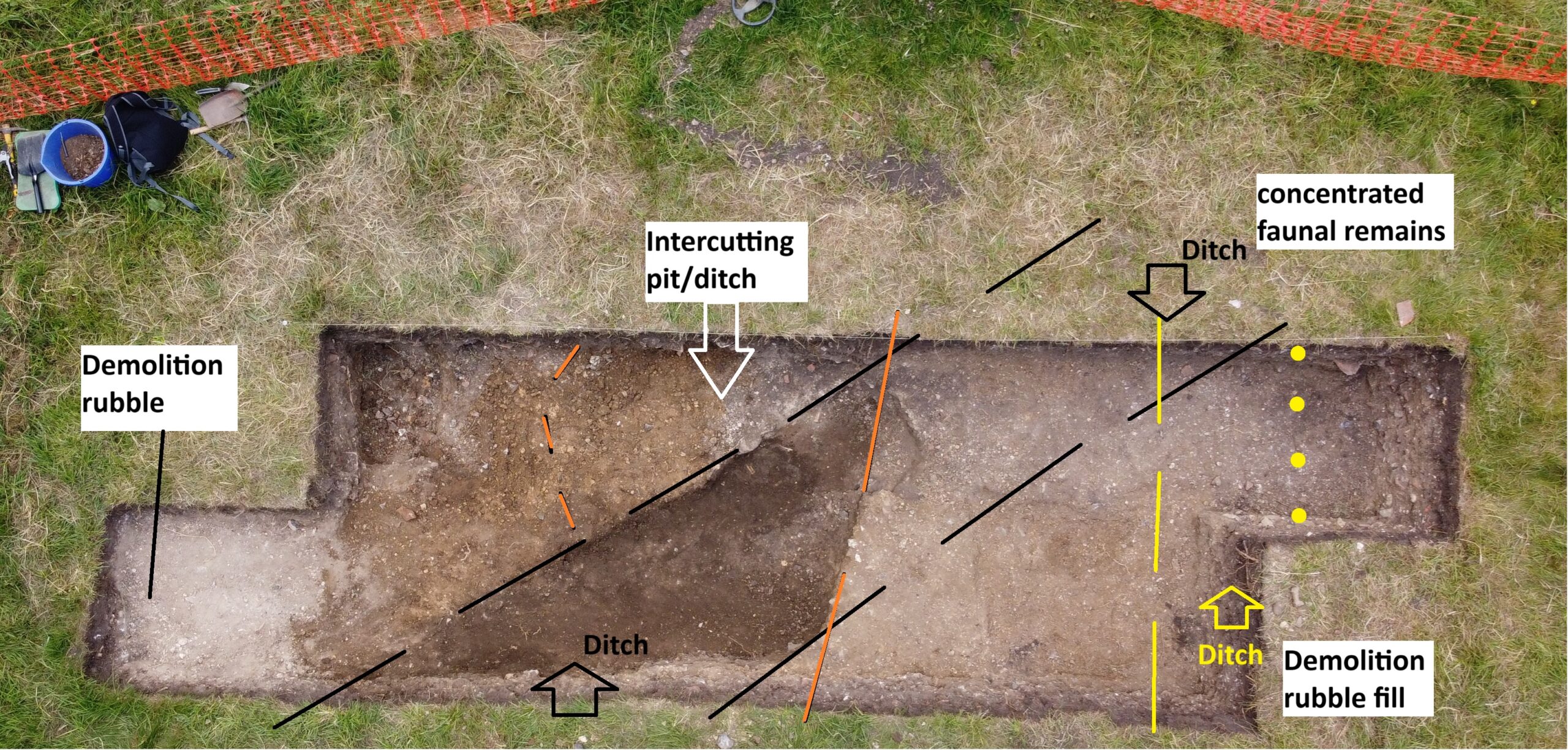
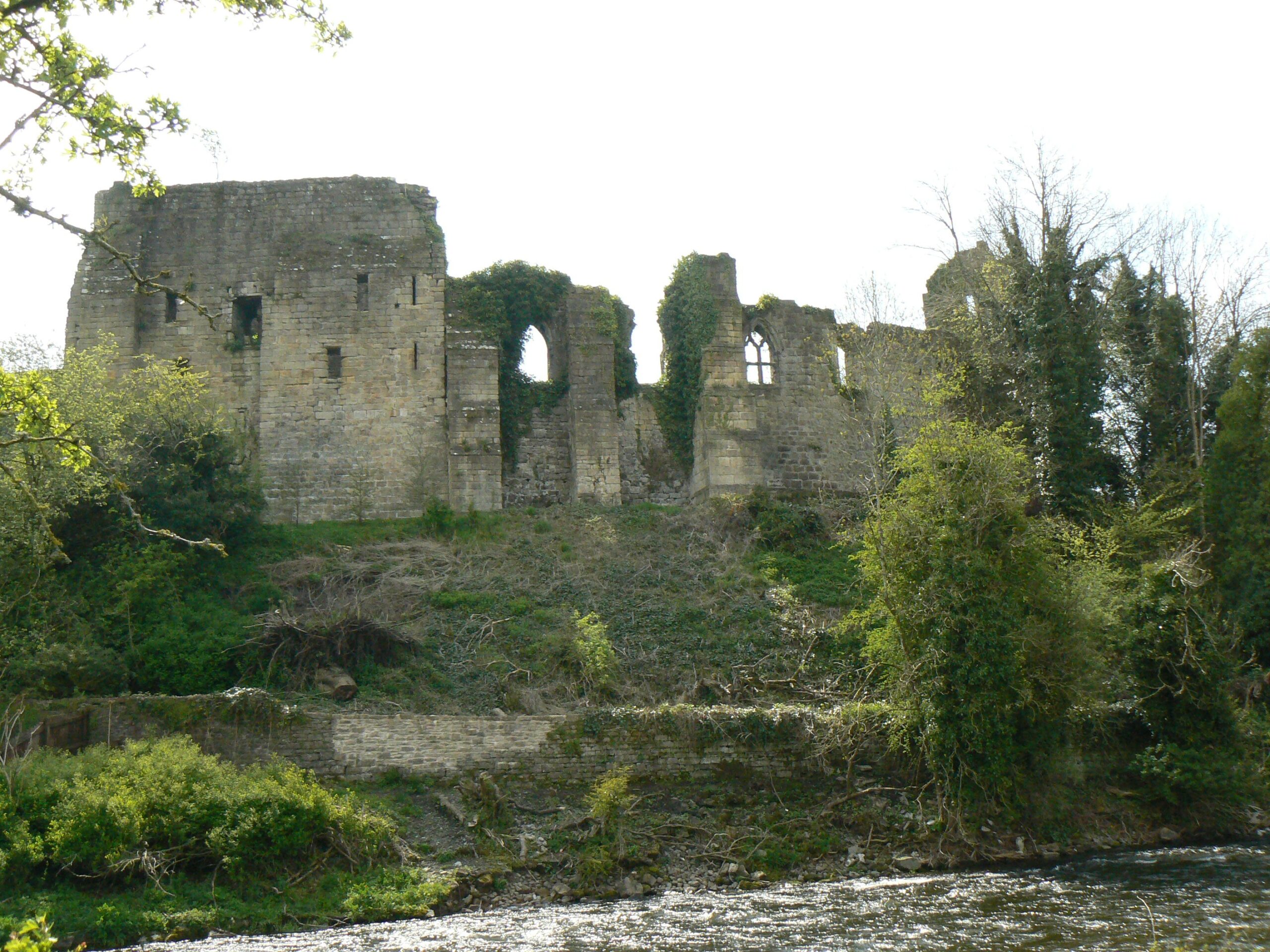
Newcastle, Northumberland: To co-fund the publication of the report of the excavations of Newcastle Castle, one of the major royal castles in the North East of England, which took place over 20 years between 1974-95. The funds will be for synthesising all the different excavations, updating specialist reports and preparing relevant reports. We are only part funding £2,000 of the £8,000 asked for, as we lacked the means to fund any more. . The grant from the CST will allow him to commission the illustration work for the building interpretation and the excavation illustrations. The part funding has also spurred on other funders to cover the remaining part of the grant. The project will be led by Don O’Meara of the Society of Antiquaries of Newcastle with the support of John Nolan and Richard Pears.
Subscribe to our quarterly newsletter
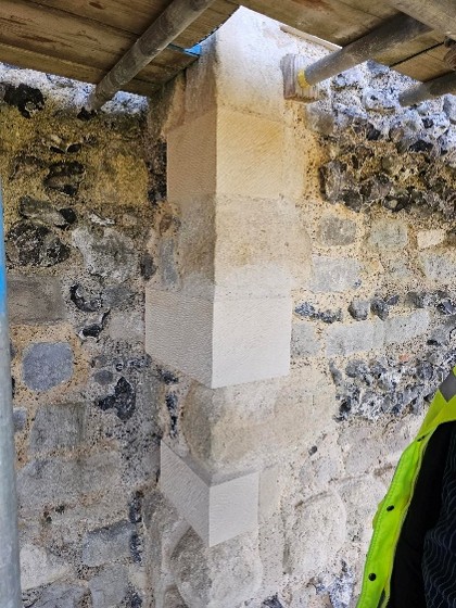
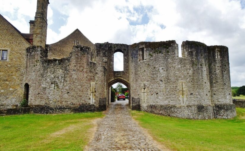
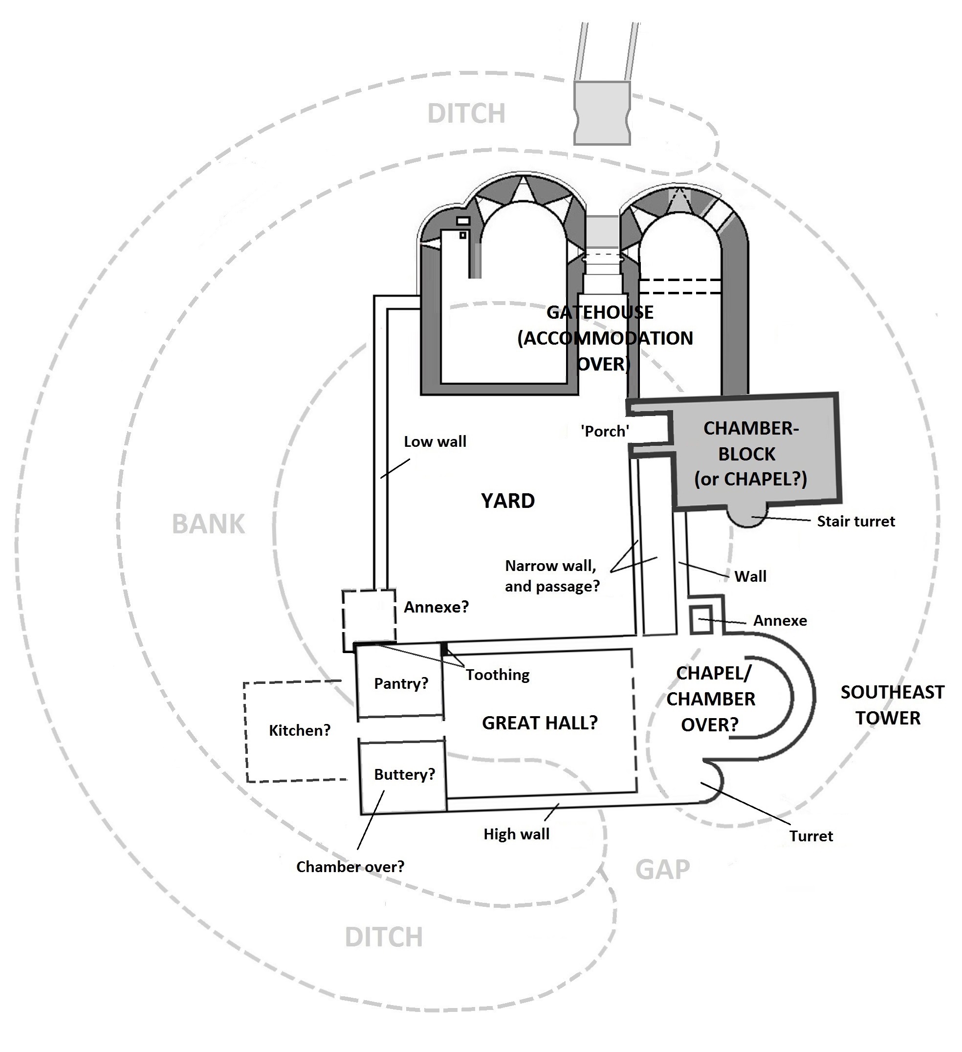
Ruthin, Denbighshire: Co-funding a structural survey and analysis of the great gatehouse of this formidable thirteenth century baronial castle that was a key part of Edward I’s strategy to secure the conquest of Wales. The project is led by Fiona Gale, chair of the Ruthin Castle Preservation Trust who will commission Mann Williams to do the survey with add context provided by Will Davies from Cadw.
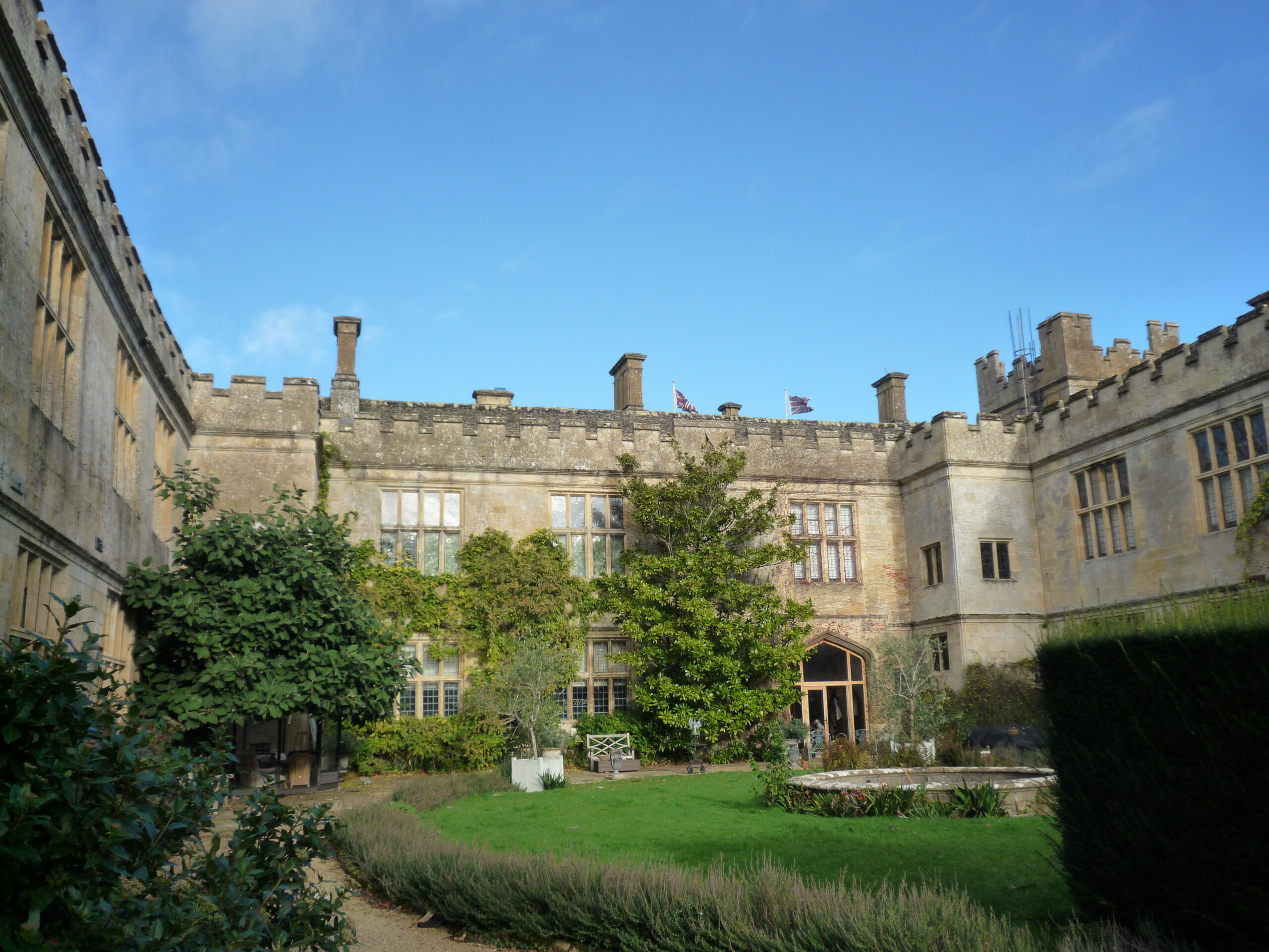
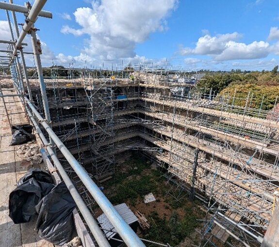
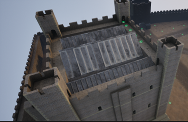
Sudeley Castle, Gloucestershire: Tree-ring dating and recording with 3D imaging the original roofs of Sudeley Castles Outer Courtyard Ranges. The castle site dates to the anarchy but the castle was rebuilt in the fifteenth century by Lord Sudeley. The sampling and photography will take place on 25 and 26 February. The project will be led by Andy Moir of the Gloucestershire Building Recording Group.