Castles were more than military sites, being political, judicial and economic centres too. Duncan Berryman of Queen’s University Belfast looks at one of those aspects, the important but little studied area of agricultural buildings in castles.
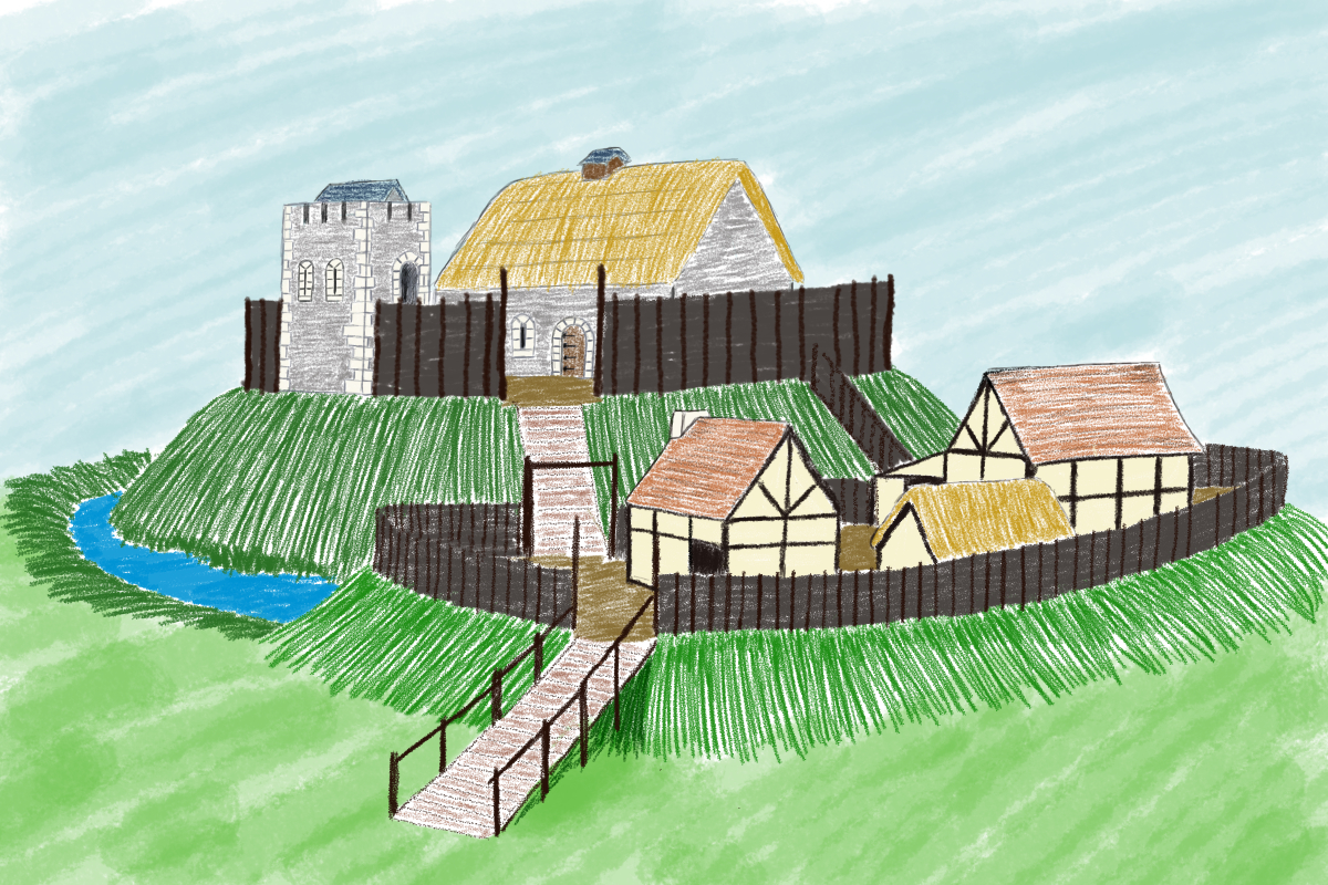
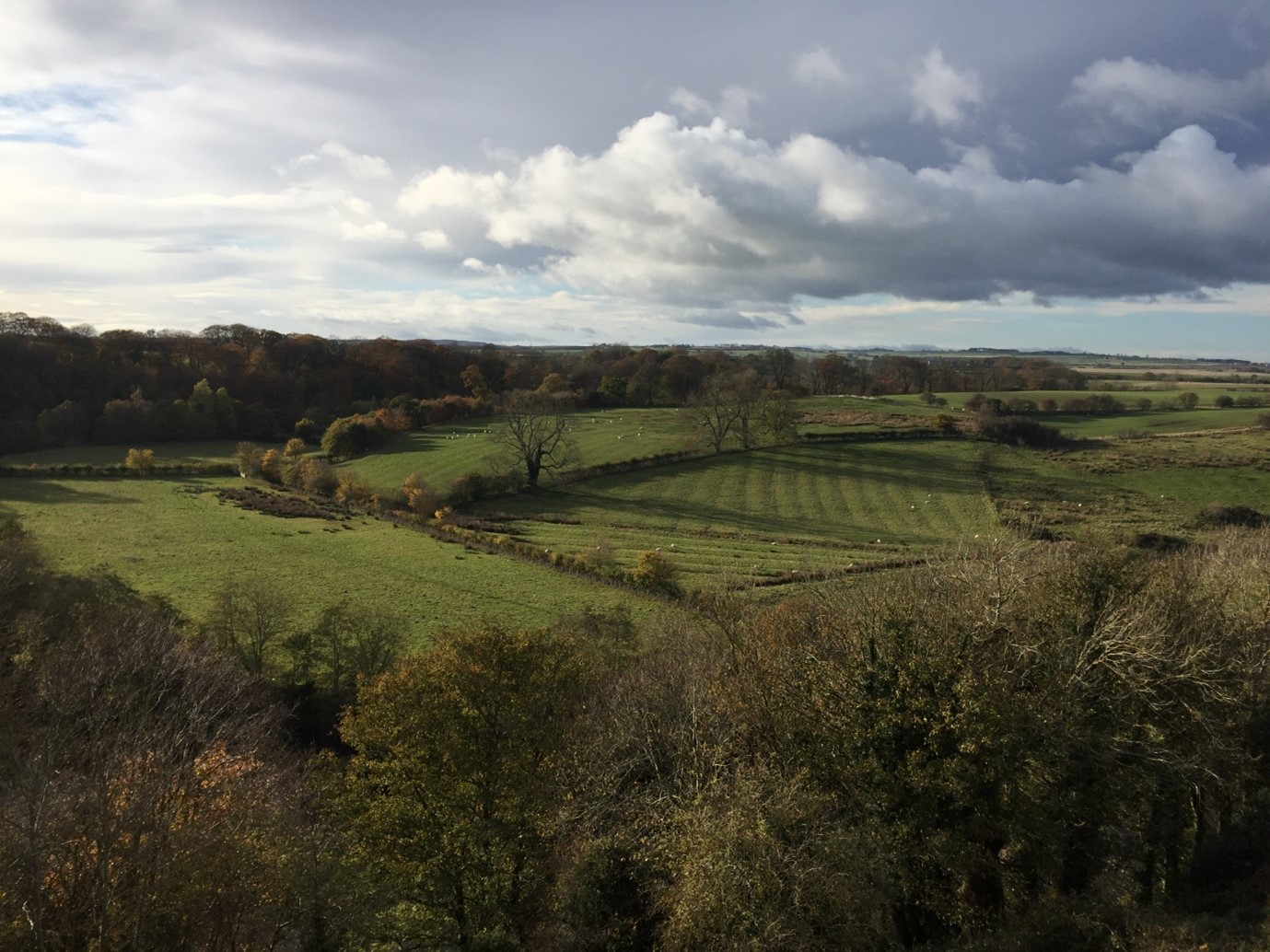
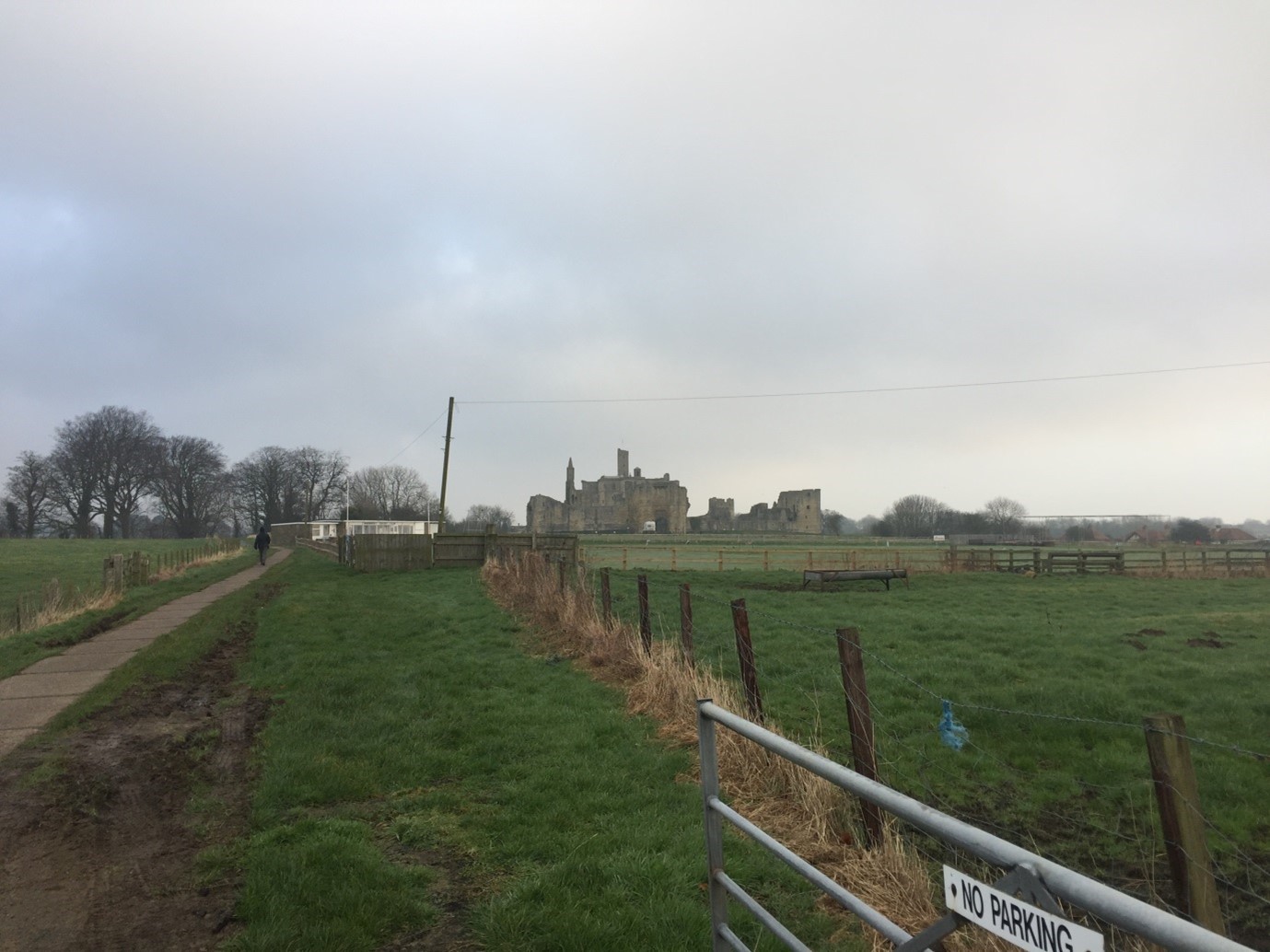
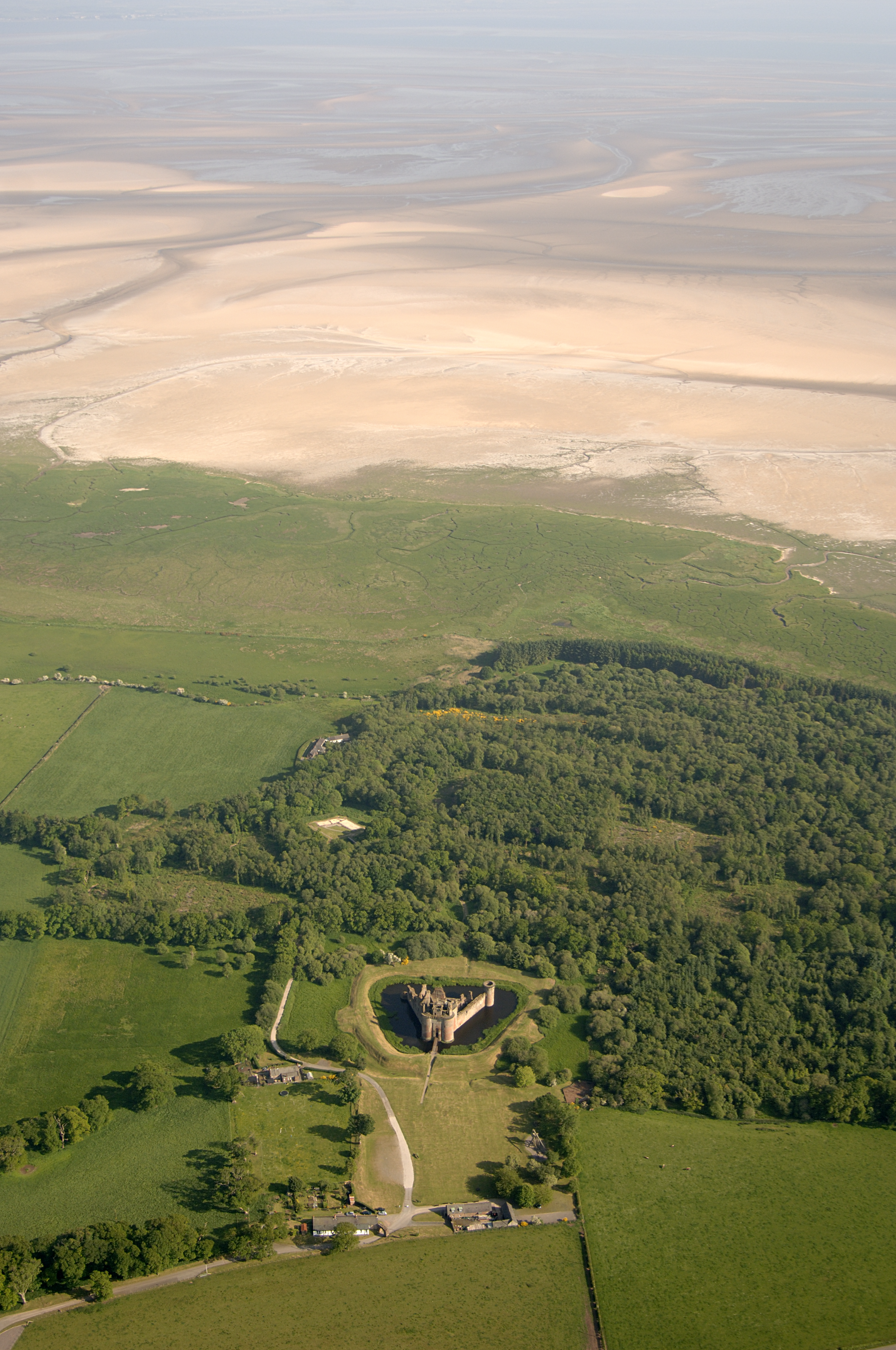
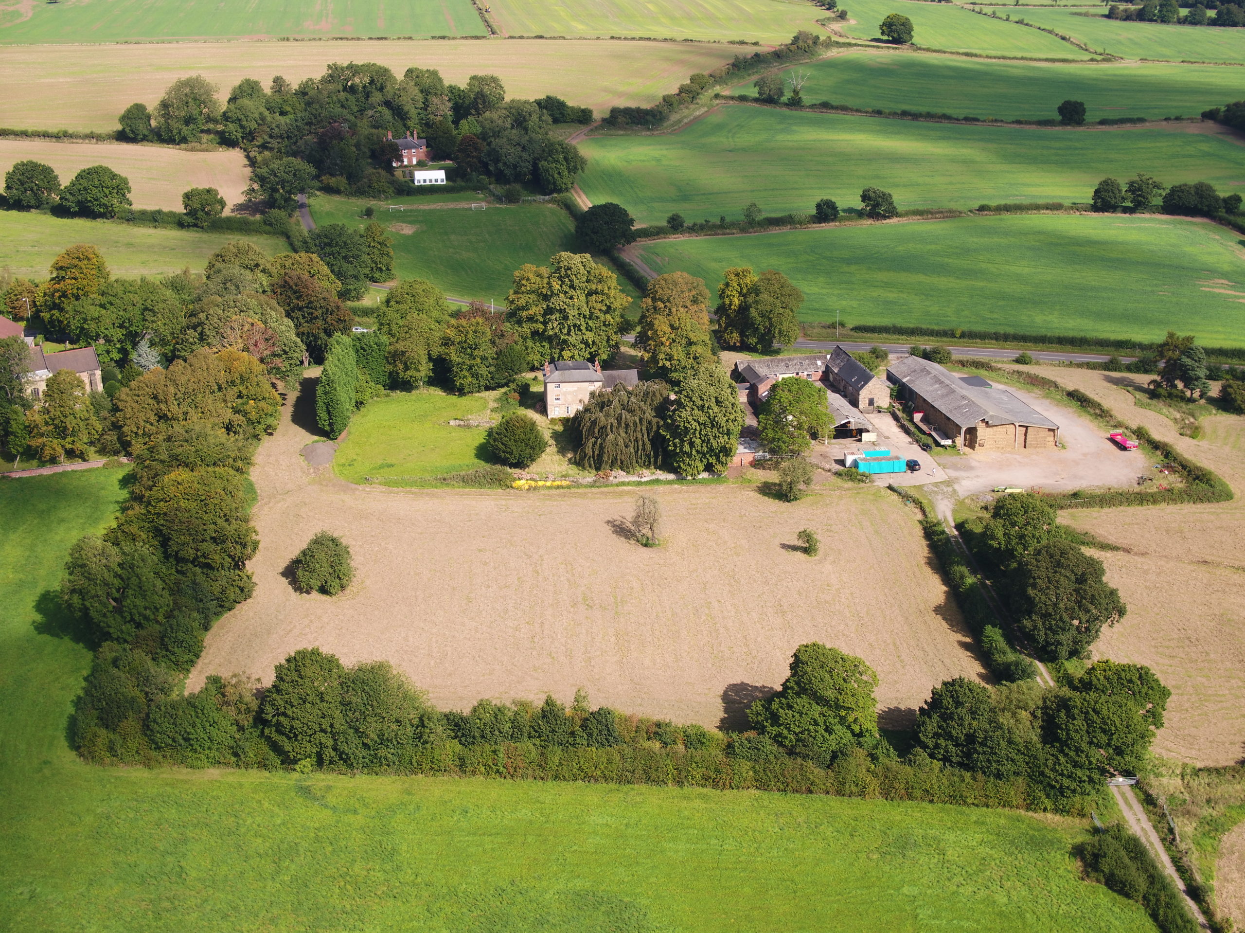
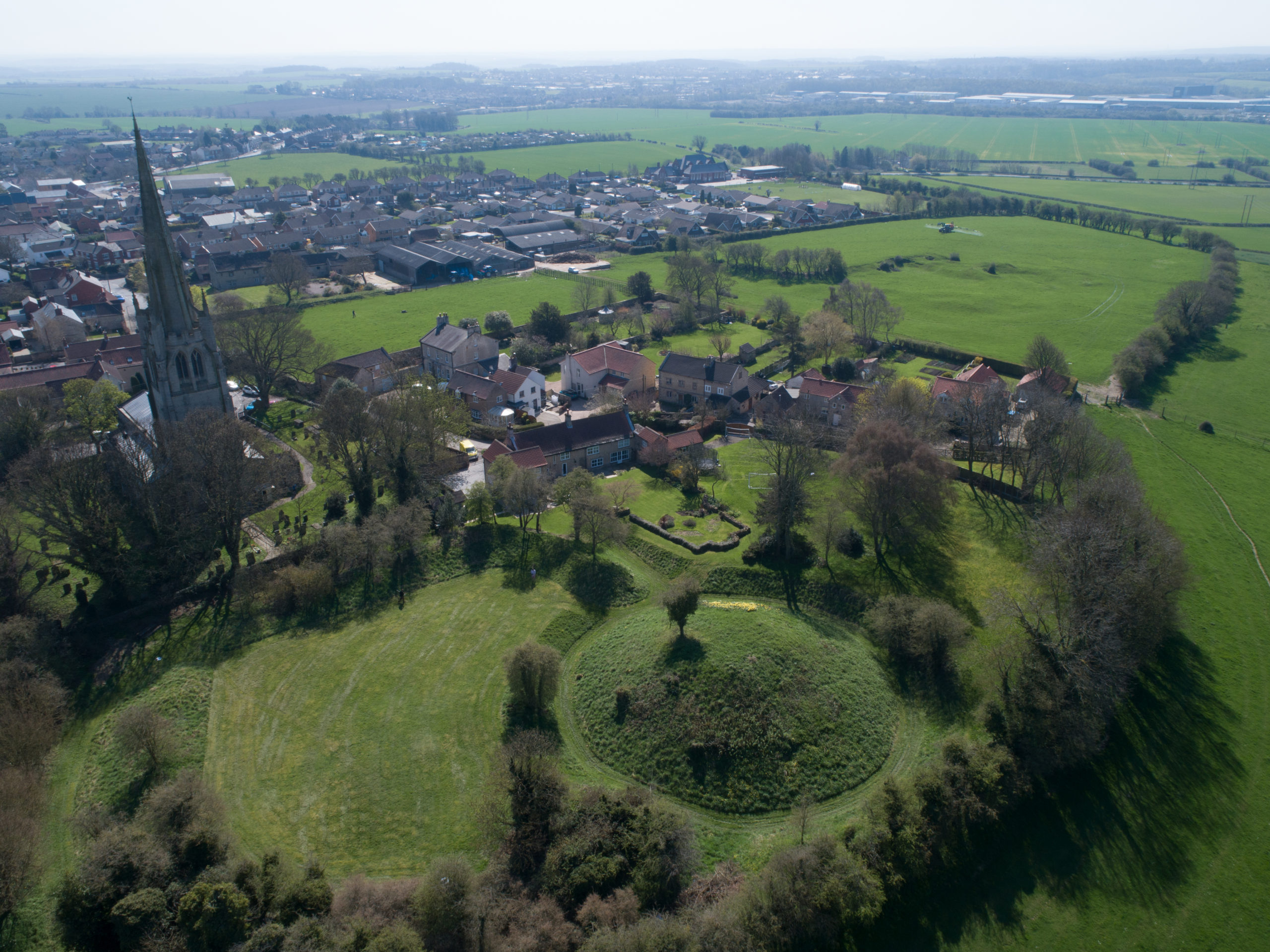
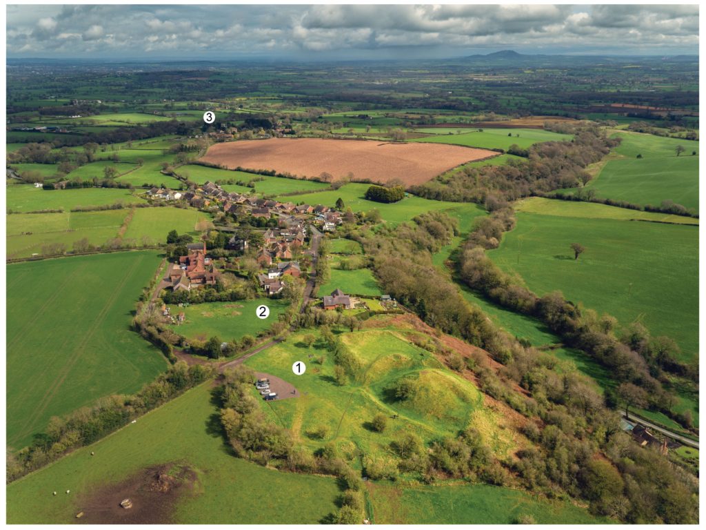
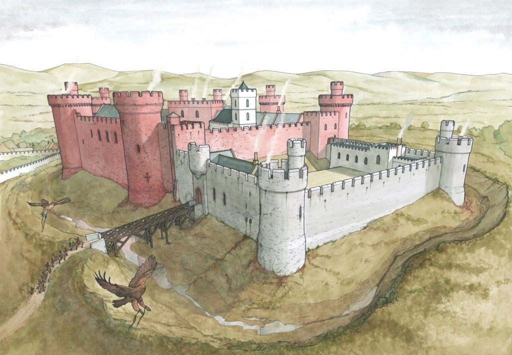
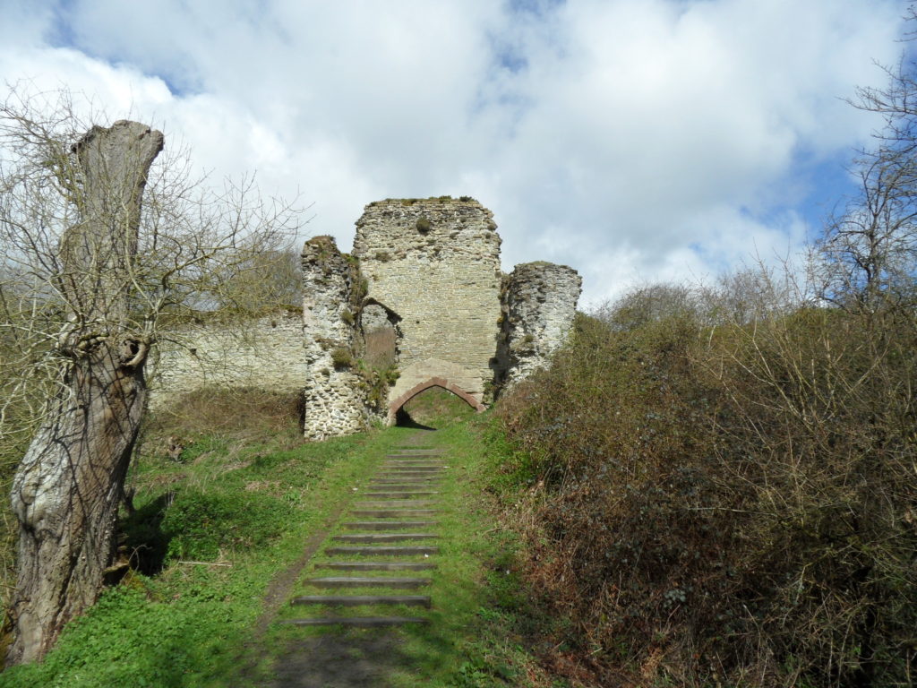
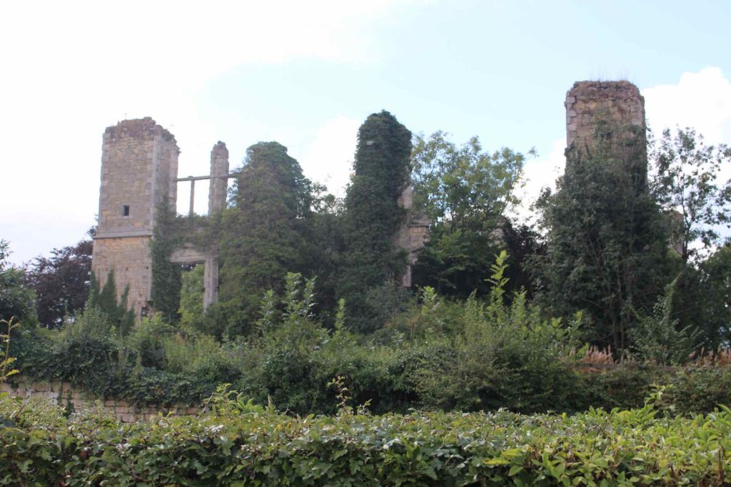
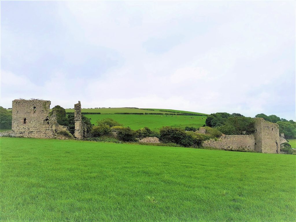
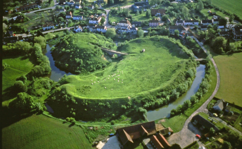
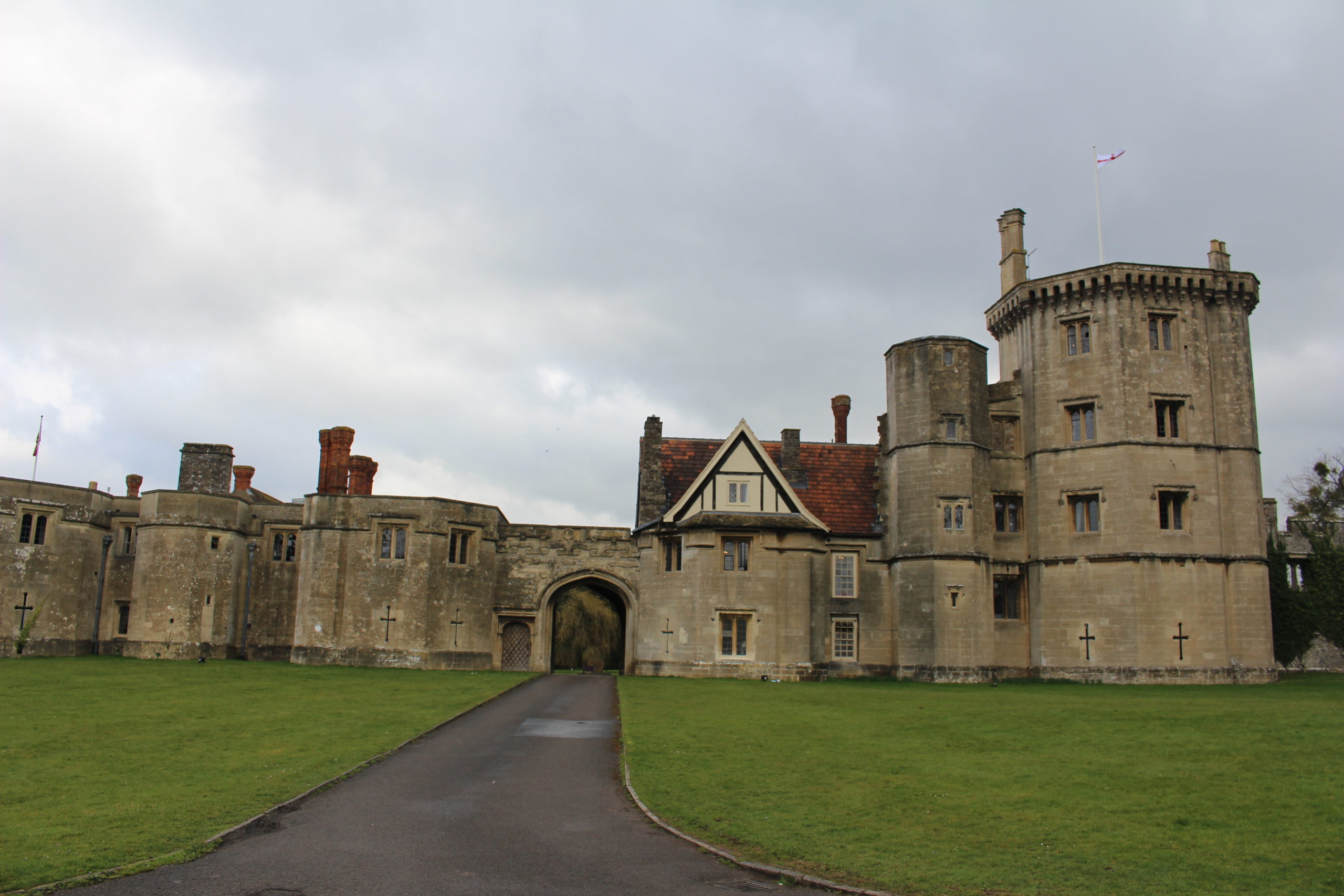
The domestic considerations of castles were as important to daily life as their defensive functions. Castles were also the centres of estates; Clare Castle (Suffolk) is a good example of an estate centre with manors in the surrounding region and further afield while Caister Castle (Norfolk) was the centre of a much more compact estate. Manorial centres were generally undefended courtyards of domestic and agricultural buildings. However, many of these were moated sites and their lack of defensibility might be debated. Sites such as Chalgrove (Oxfordshire) and Coolamurry (Wexford) had substantial moats and may have had complex bridges (Page et al. 2005; Fegan 2009). These complexes saw high-status accommodation sitting alongside the barns and animal housing that served as the manorial farmyard. Many smaller castles would have been the centres of smaller estates and would have also functioned as manorial centres. Agricultural buildings were vital to this operation and would have been found within baileys or associated enclosures. To investigate these buildings, it is essential to take a multidisciplinary approach by combining archaeology with documentary and pictorial evidence. The agricultural buildings have often been left unexcavated as they are seen as less important, and less interesting, than the domestic complexes.
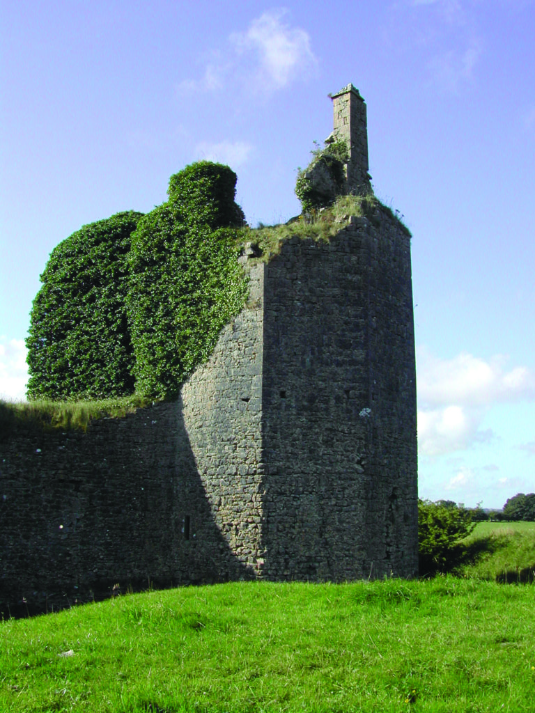
Documentary sources related to Ireland indicate that many smaller castle sites had agricultural buildings within the surrounding area. This is clearly illustrated at Cloncurry (Kildare), where an extent records that beside the motte was “an old haggard close [farmyard] in which there are two small granges [barns] each of eight forks … [t]here is also there, beside the gate an ox-house … [and t]here is a dovecote” (Murphy & Potterton 2010, 175). There is also a record of a barn of ten forks at Castlemore (Carlow), as well as a mill and other timber and masonry buildings (O’Conor 1998, 32). The forks referred to in these accounts are probably the cruck blades of the barn, thus ten forks produce a nine-bay barn that could be the equivalent size of a barn like Bredon (Worcestershire). At Lough Merans (Kilkenny), the motte sat on a promontory in the lake and had an associated bailey containing a granary, stables, and a sheepcote (O’Conor 1998, 30). The motte of Inch (Tippararery) also had a granary and sheepcote, additional buildings were stables, a fish-house, a dovecote, and a malt kiln (O’Conor 998, 29). These examples suggest that, in Ireland, castles were playing important roles as the centres of manorial farms and wider estates. The perceived need for a defensive motte may have been carried over from an earlier period, but it continued with the construction of tower houses in the fifteenth and sixteenth centuries (McAlister 2019, 28-35).
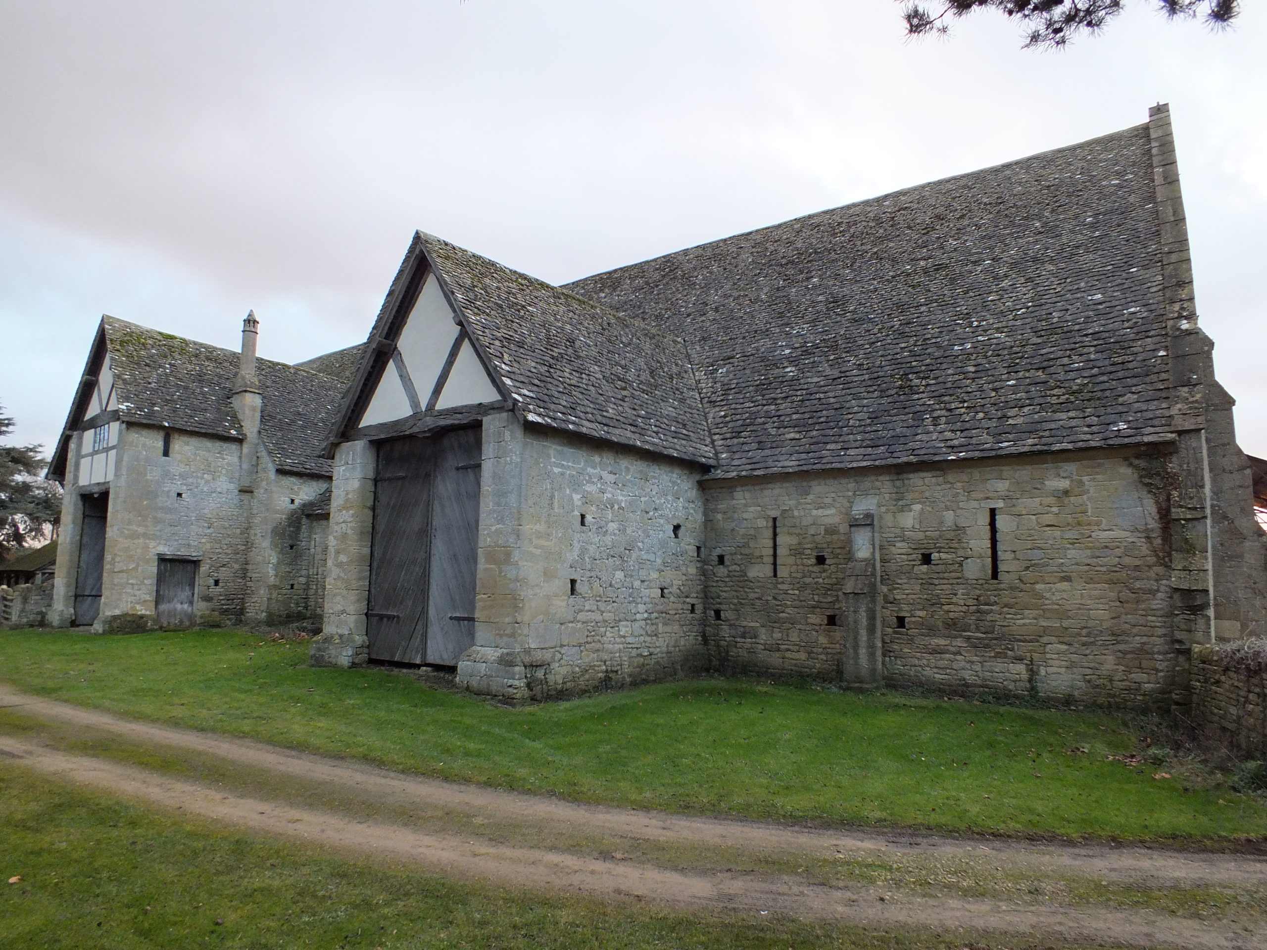
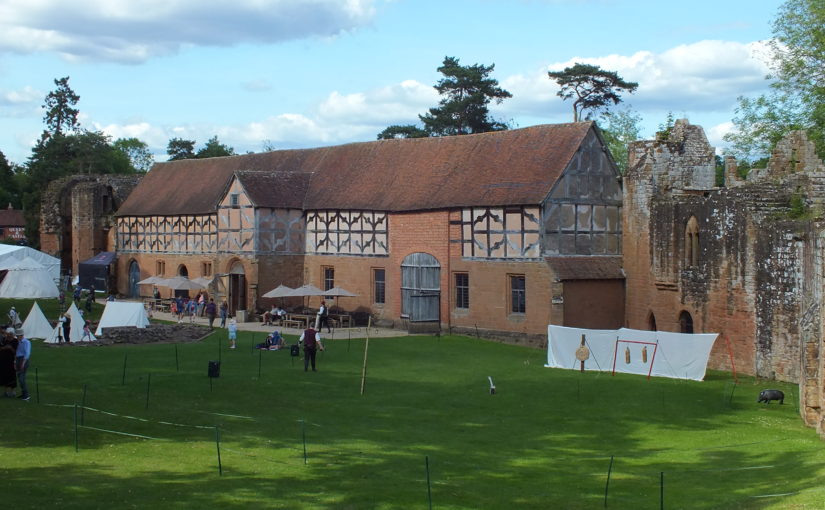
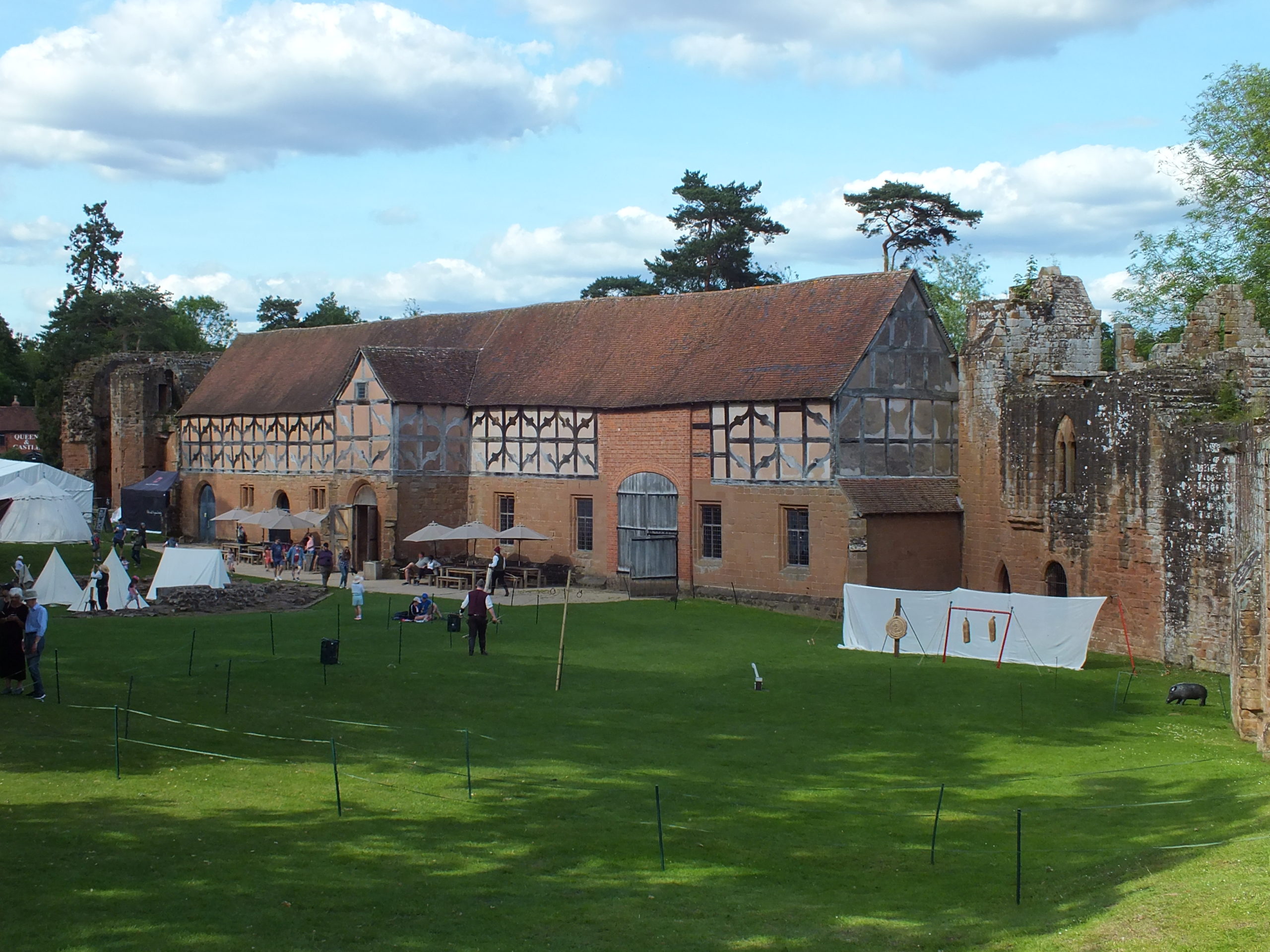
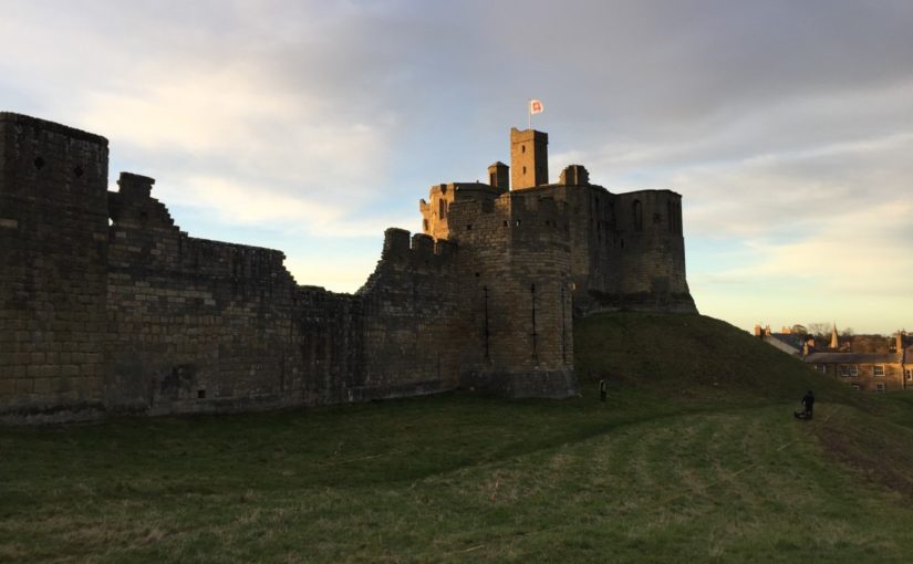
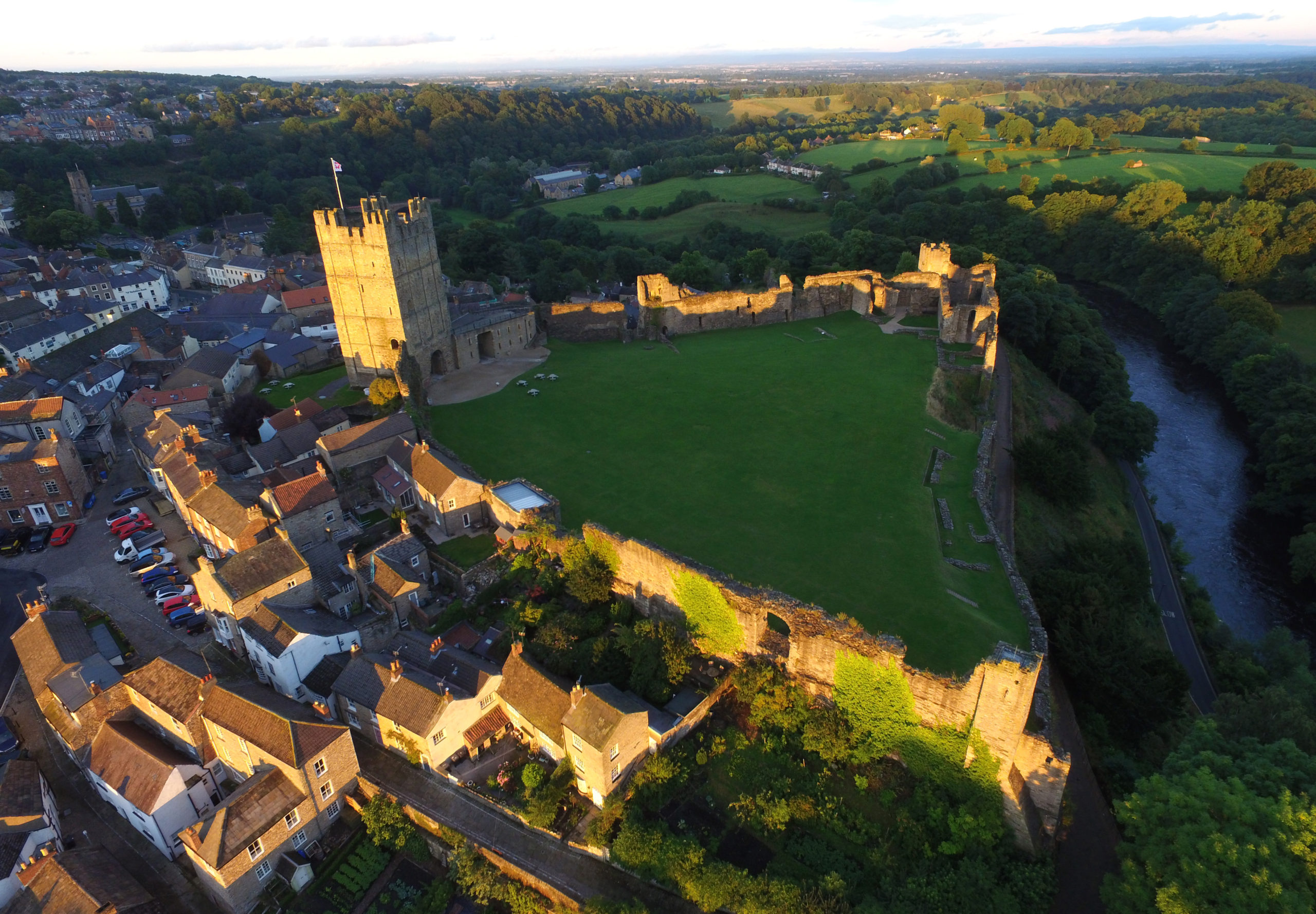
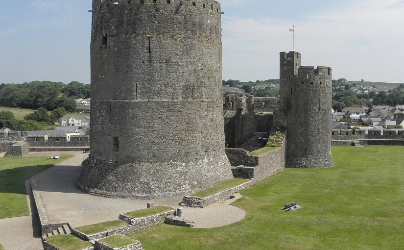
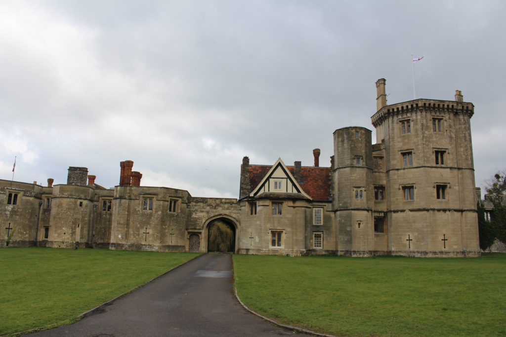
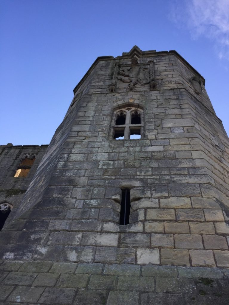
A brief survey of larger castles in England does show that these castles had a small number of agricultural buildings. The main buildings identified were stables, dovecotes, barns, and granaries. These buildings are unlikely to have functioned in the same way as they did in rural manorial centres, but they are a reminder that some agricultural processes occurred within the castle. Stables were obviously for housing the riding horses of the lord or king and their entourage, but they probably also housed the cart horses used by the castle staff to bring goods in from the market. There are records of stables at Hereford, Leeds (Kent), Leicester, Lincoln, Nottingham, and the stables of Kenilworth (Warwickshire) are still extant (Colvin 1963). The dovecote was an important source of food in the form of squabs (young pigeons). A dovecote was recorded at Dorchester (Dorset) and one has been identified in the south-west tower of Bodiam (Sussex) (Colvin 1963; Thackray 2003). The existence of barns might suggest that sheaves of wheat or barley were being brought into the castle and threshed there, providing grain for flour and straw for the stables and other floors around the castle. There is evidence for barns at Acton Burnell (Shropshire), Bamburgh (Northumbria), Hadleigh (Essex), Weoley (Warwickshire), and Pontefract (Yorkshire) (Colvin 1963; Emery 2000; Roberts 2002).
The c.1610 plan of Castle Hedingham (Essex) indicates that there may have been an agricultural complex beside the main castle enclosure (Emery 2000, 113). To the top of the map are buildings labelled stable and barn and an area marked barnyard, in manorial sites this would indicate a complex of crop storage buildings including several barns and a granary. Returning to Clare Castle, the 1325 accounts of the constable indicate that there were a pigsty and poultry house within the castle compound (Ward 2014, 64).
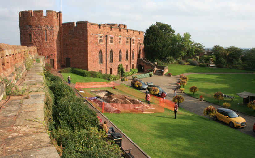
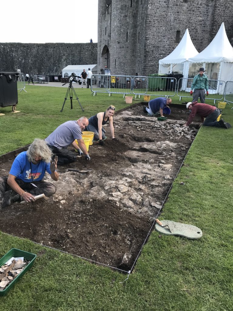
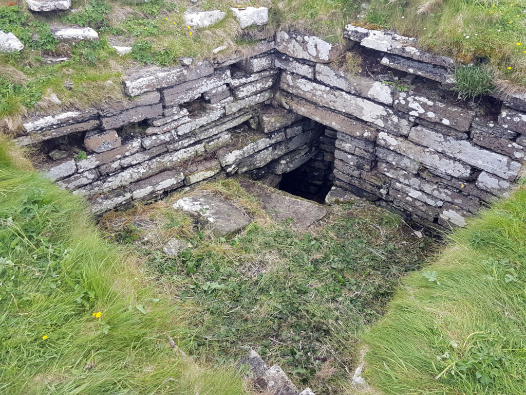
Agricultural buildings are found in areas away from the main domestic complex of the castle, and these areas are often left unexcavated. They were most often made of timber, and thus leave little trace in the archaeology compared to the stone-built structures elsewhere. It is possible that there were more agricultural buildings within castles, or close to them, and they have not yet been identified. This research highlights the importance of using documentary and pictorial sources alongside archaeology and reminds us that lesser castle complexes may have been surrounded by a significant range of buildings.
Subscribe to our quarterly newsletter
References
Colvin, H.M. (ed.) 1963, The History of the King’s Works Vol I & II (London: Her Majesty’s Stationary Office).
Emery, A. 2000, Greater Medieval Houses of England and Wales II (Cambridge: Cambridge University Press).
Fegan, G. 2009, ‘Discovery and excavation of a medieval moated site at Coolamurry, C. Wexford’, in C. Corlett & M. Potterton (eds), Rural Settlement in Medieval Ireland in the Light of Recent Archaeological Excavations (Dublin: Wordwell Books).
McAlister, V. 2019, The Irish Tower House: Society, Economy and Environment c.1300–1650 (Manchester: Manchester University Press).
Murphy, M. & Potterton, M. 2010, The Dublin Region in the Middle Ages: Settlement, Land-Use and Economy (Dublin: Four Courts Press).
O’Conor, K.D. 1998, The Archaeology of Medieval Rural Settlement in Ireland (Dublin: The Discovery Programme).
Page, P., Atherton, K. & Hardy, A. 2005, Barentin’s Manor: Excavations of the moated manor at Harding’s Field, Chalgrove, Oxfordshire 1976–9 (Oxford: Oxford Archaeology Unit).
Roberts, I. 2002, Pontefract Castle: Archaeological Excavations 1982–86 (York: West Yorkshire Archaeology Service).
Thackray, D. 2003, Bodiam Castle (Swindon: The National Trust).


