Malcolm Hislop, researcher and author, writes about some of the themes of his most recent book.
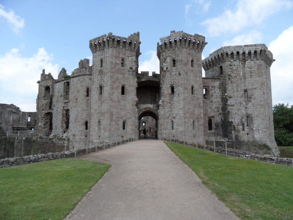
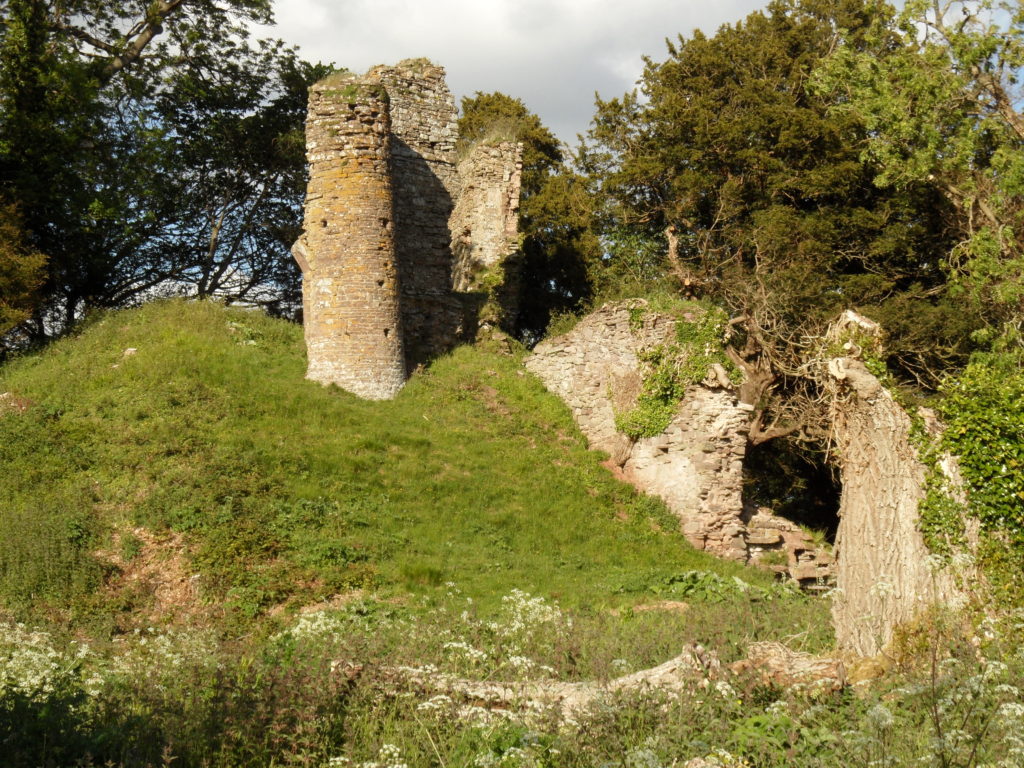
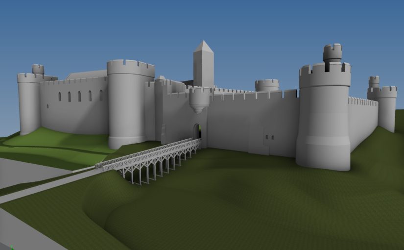
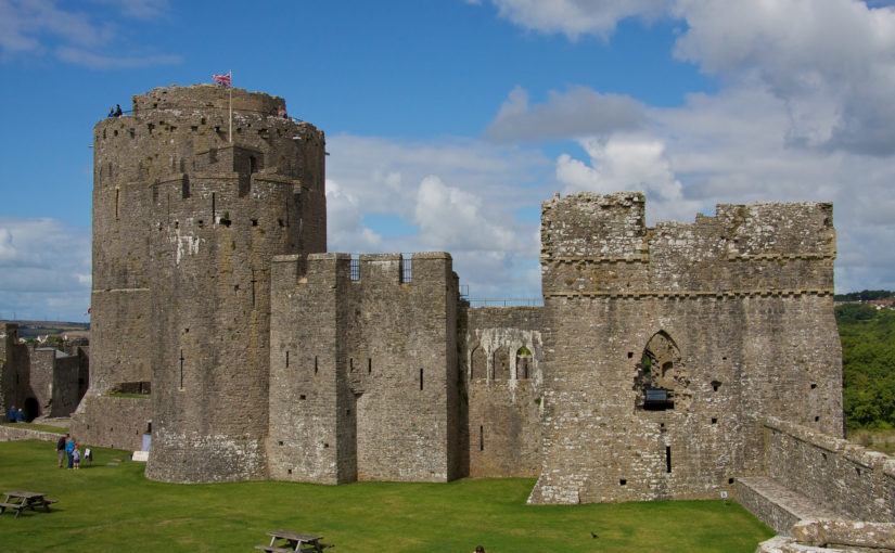
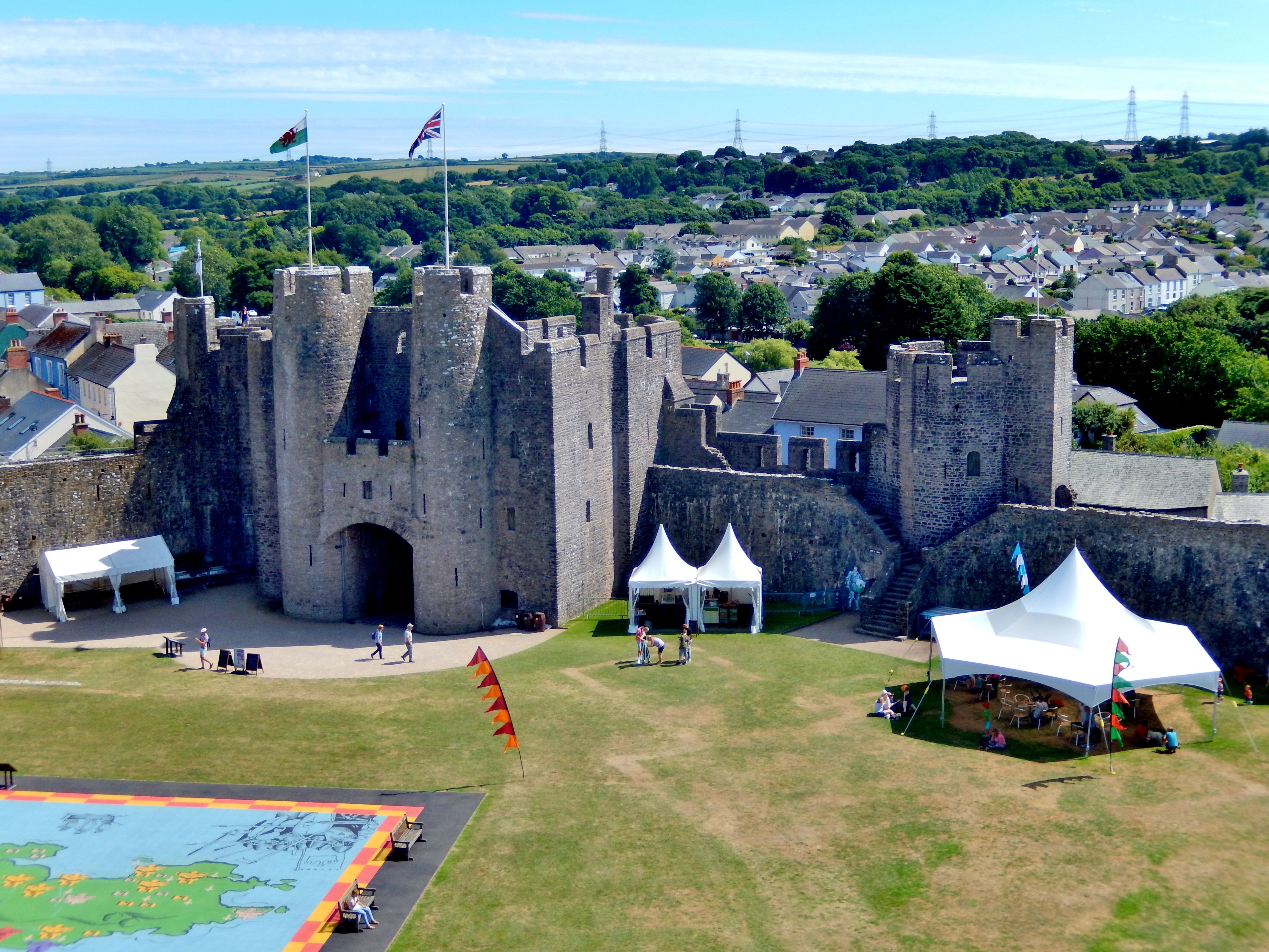
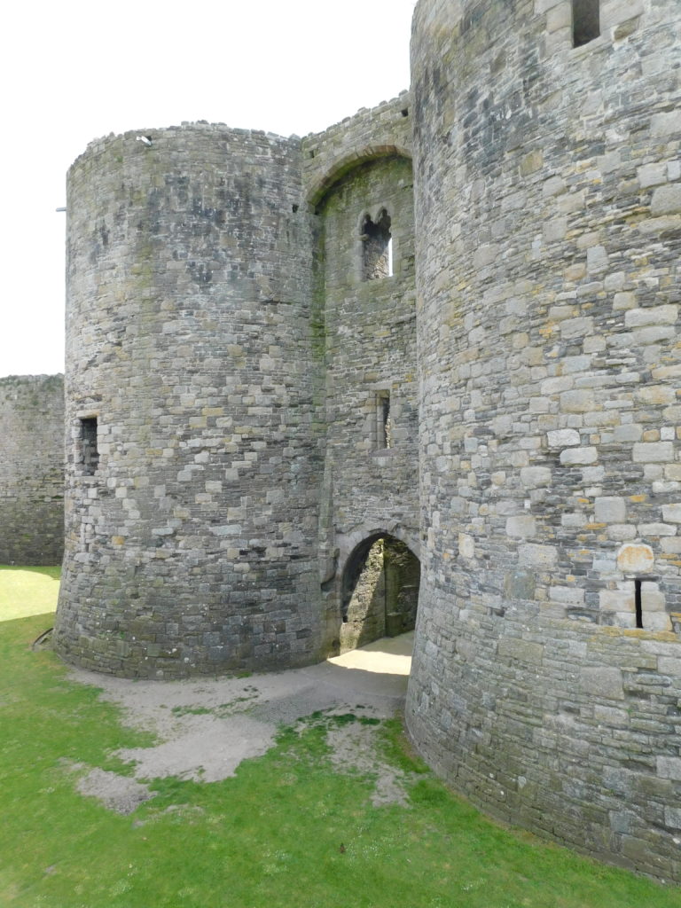
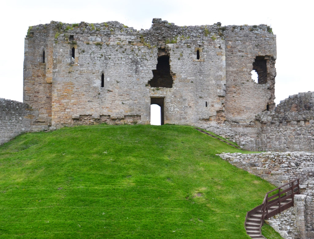
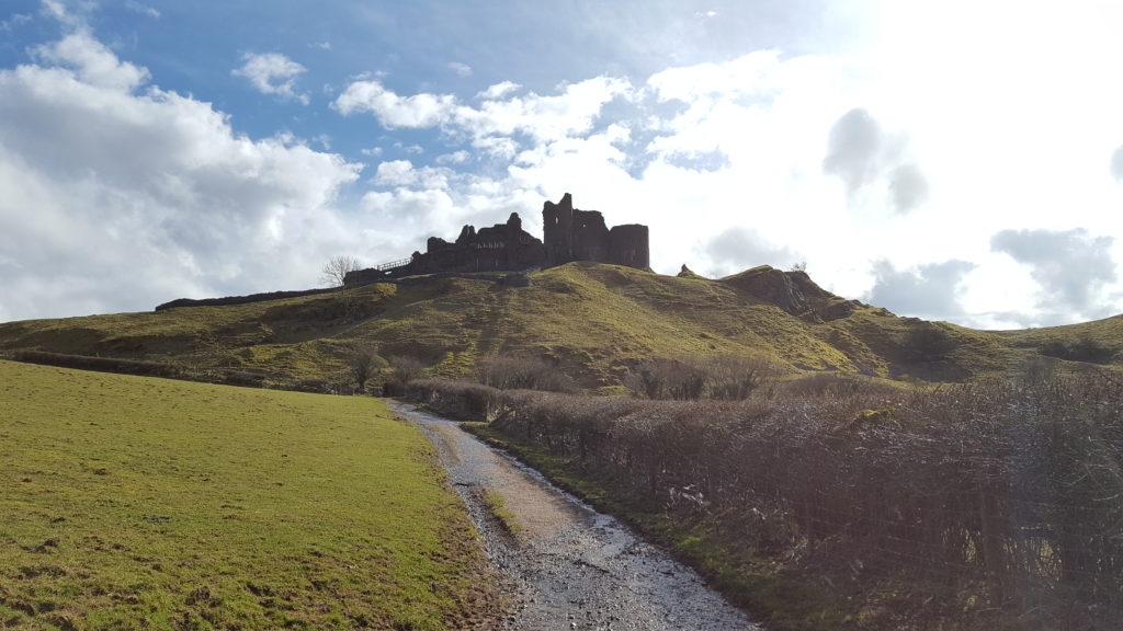
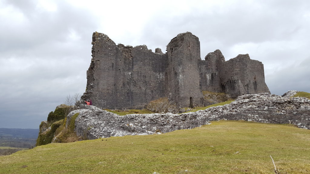
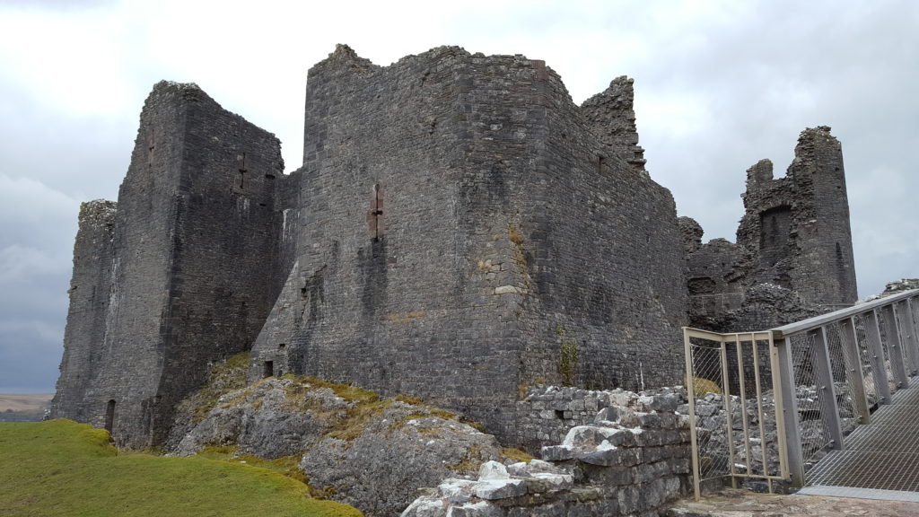
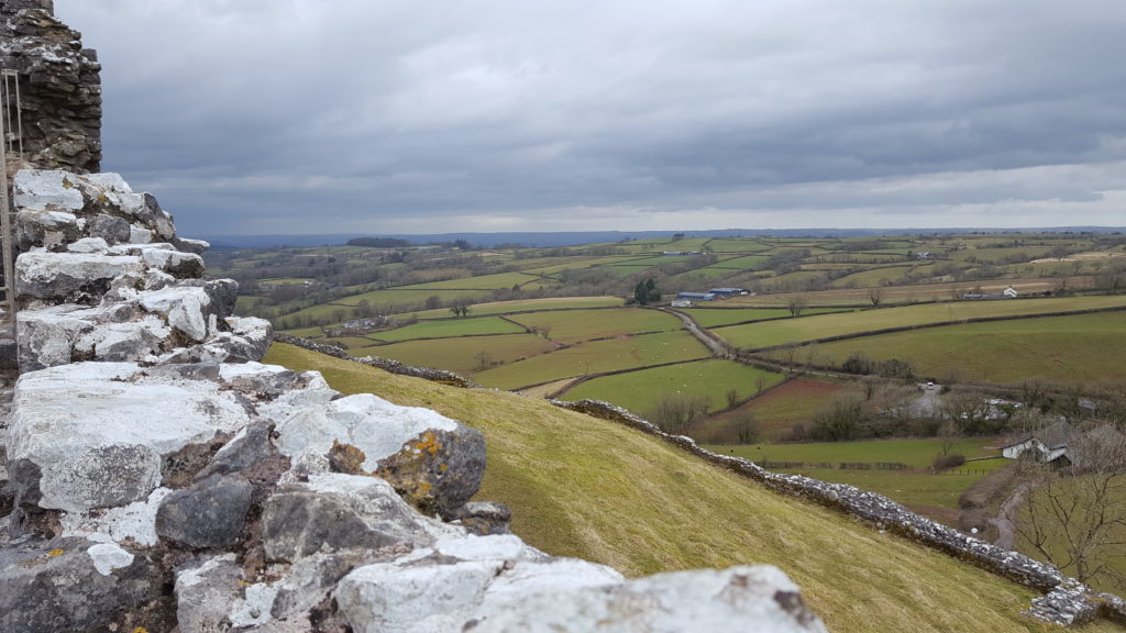
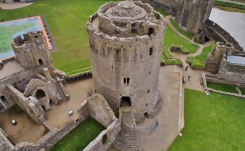
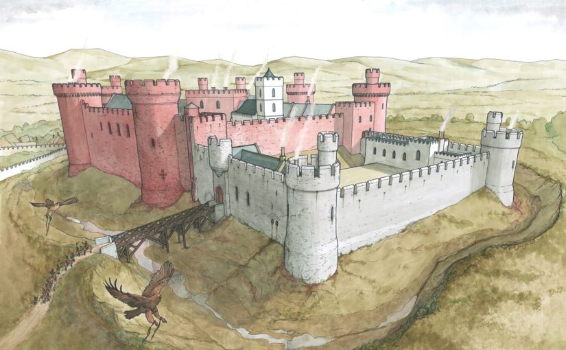
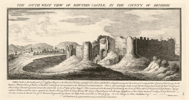
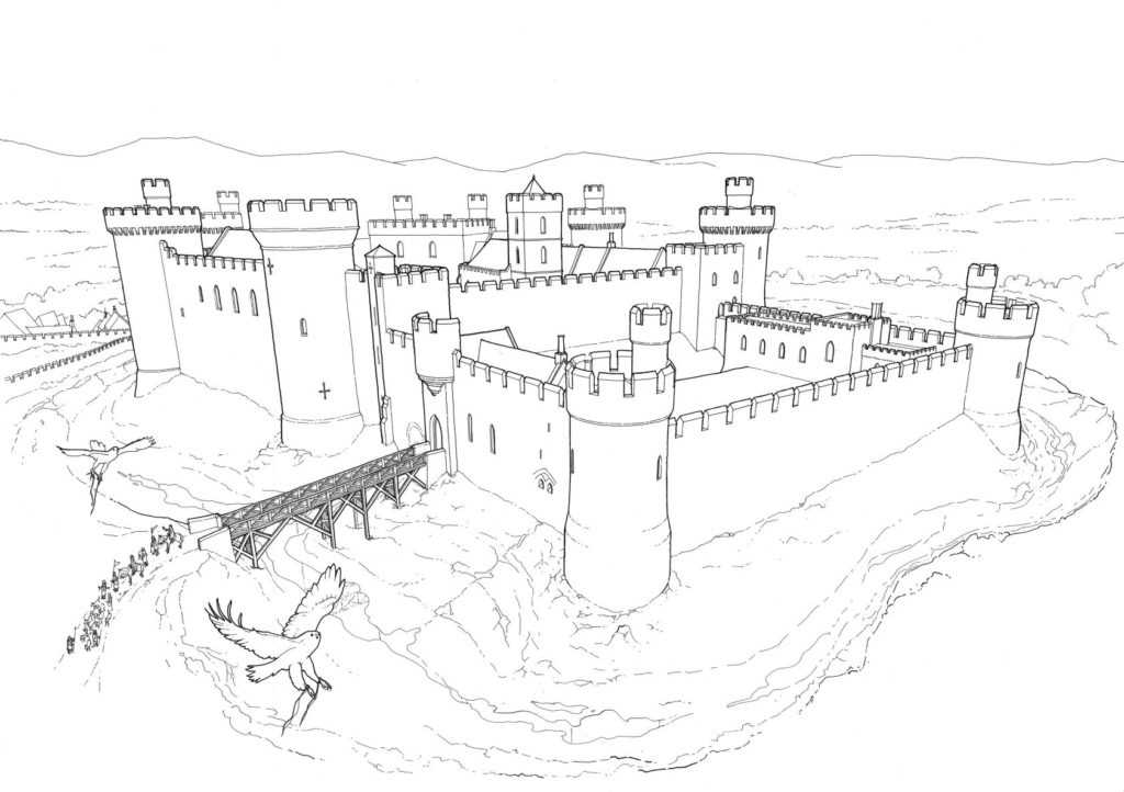
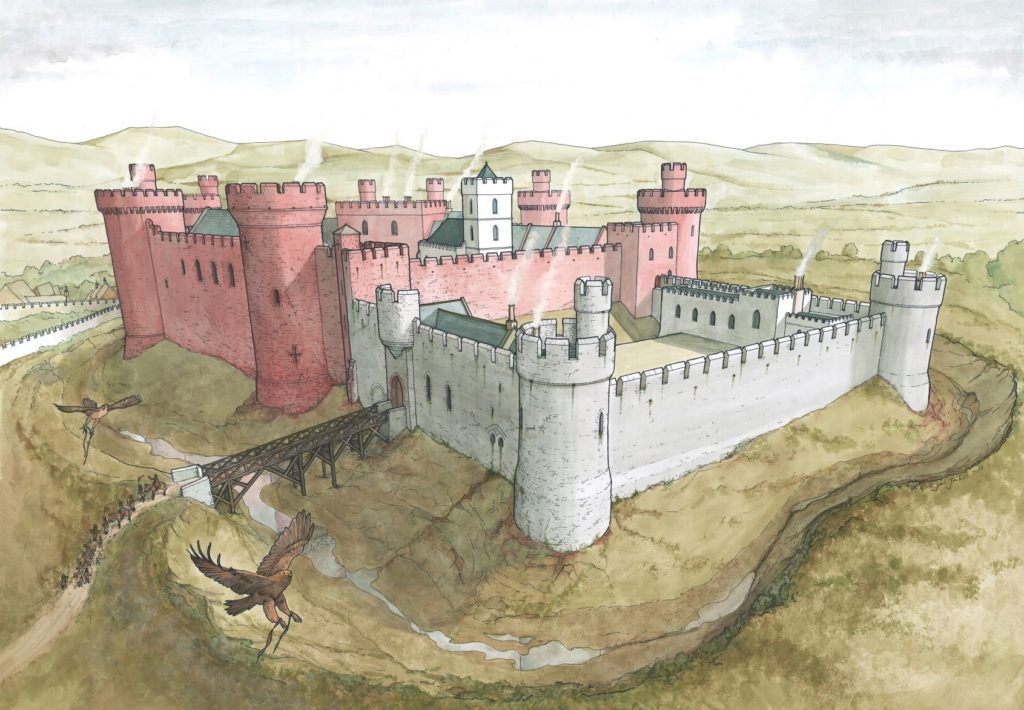
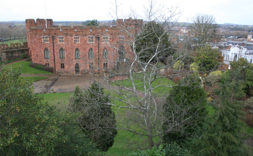
Often thought as a highpoint of English military architecture, the castles of Edward I and his followers in north Wales hold a special place in hearts and minds of many in this country and abroad. Scholars have spent much time and effort on researching this (relatively brief) episode of intensive castle construction. We feel we know these buildings so well, and yet, notwithstanding the many accounts of individual castles, it is strange to relate that no lengthy general survey of the architecture (as opposed to the building history) has ever been published. Nor, despite presenting an obvious opportunity for furthering our understanding of the manner in which architectural style was formulated and disseminated in the late thirteenth century, have the influences on and of the Edwardian castle been widely discussed.
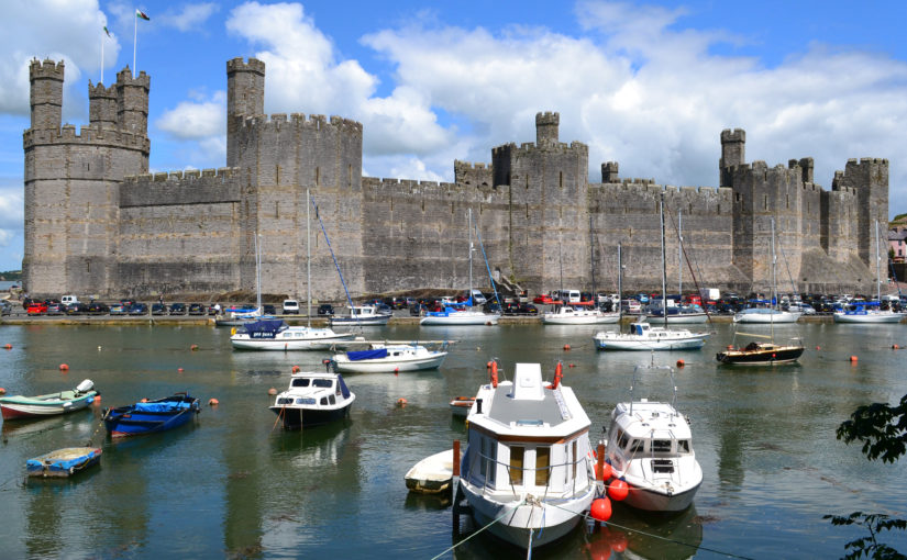
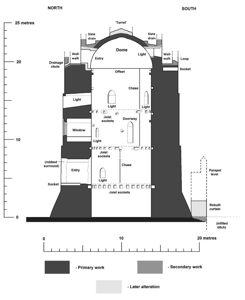
Edward’s Welsh castles are inextricably linked to the technical mastermind behind the project, the Savoyard mason, James of St George. Castle builders (in the practical sense) tend to be less well known than their patrons. The ones who can be identified are far outweighed by those who remain anonymous. Moreover, a master builder whose career can be reliably reconstructed to a significant degree is a rarity to be cherished. Master James is one such exception, his reputation as an architect of international repute being established in one of the great historical detective stories of the later twentieth century, which did much to personalise the often anonymous process of medieval construction.
Master James’ star has not ridden quite so high in recent years. His architectural role questioned, his artistic contribution doubted, James now seems a slightly diminished figure, with only his organisational and planning abilities remaining unchallenged. There were certainly other master builders employed on the royal works who exercised a degree of independence; it is clear too that there were other influences on the royal works in Wales than can be accounted for by Master James’ accumulated experience in Savoy. In particular, what was the part played by Walter of Hereford, the technical and artistic master mind behind Vale Royal Abbey, and resident master at Caernarfon from 1295? These are interesting issues requiring a greater depth of enquiry, but the initial conclusions of a broader than usual sweep of the architecture are that in addition to his organisational and technical responsibilities Master James also exercised a significant creative role.
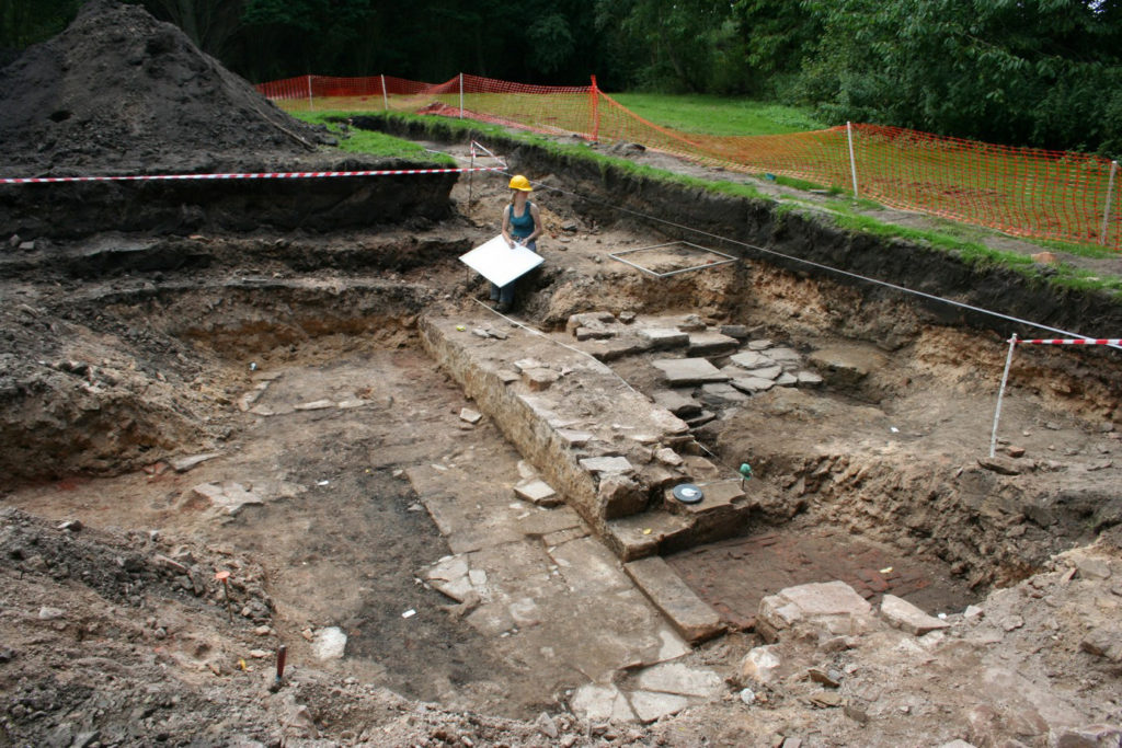
Edward’s crushing of all resistance in north Wales was swiftly followed by an attempt to subjugate Scotland. Building work in Wales was mothballed and James of St George and Walter of Hereford were redirected northwards. The impact of Edward’s invasion of Scotland on castle building in the northern kingdom tends to receive little attention. Most of the royal works were in timber, little survives above ground level, and archaeology has not yet revealed much that can enlighten the subject. On the other hand, it is becoming increasingly clear that there is a good deal more to say about the contemporary building works of his supporters, that survival of which is much greater, and that in a number of instances there was an English contribution to design and construction. The story of Edwardian castle building in Scotland is only just beginning to take shape.
Another under-researched theme is the effect of the Edwardian castles in Wales on the architecture of England. There has been an understandable tendency to view the years immediately following the Edwardian conquest of Gwynedd as an anti-climax in English castle building, and that there is little continuity from the Welsh project. Yet the craftsmen dispersed, and building went on, not in such concentrated or dramatic fashion, but often in small quiet ways that escape the notice of the wider world. The full extent of this influence on fourteenth-century castle design is yet to be recognised, but it includes both the broader aspects and the smaller details and represents the final chapter in the story of the Edwardian castle.
Subscribe to our quarterly newsletter
Malcolm Hislop’s book James of St George and the Castles of the Welsh Wars (September 2020) is published by Pen and Sword. Hardback, 302 pages, 175 colour and monochrome illustrations.

![[10] Druminnor Castle - "Woops!"](https://farm6.staticflickr.com/5125/5340893447_176baa5abf_b.jpg)