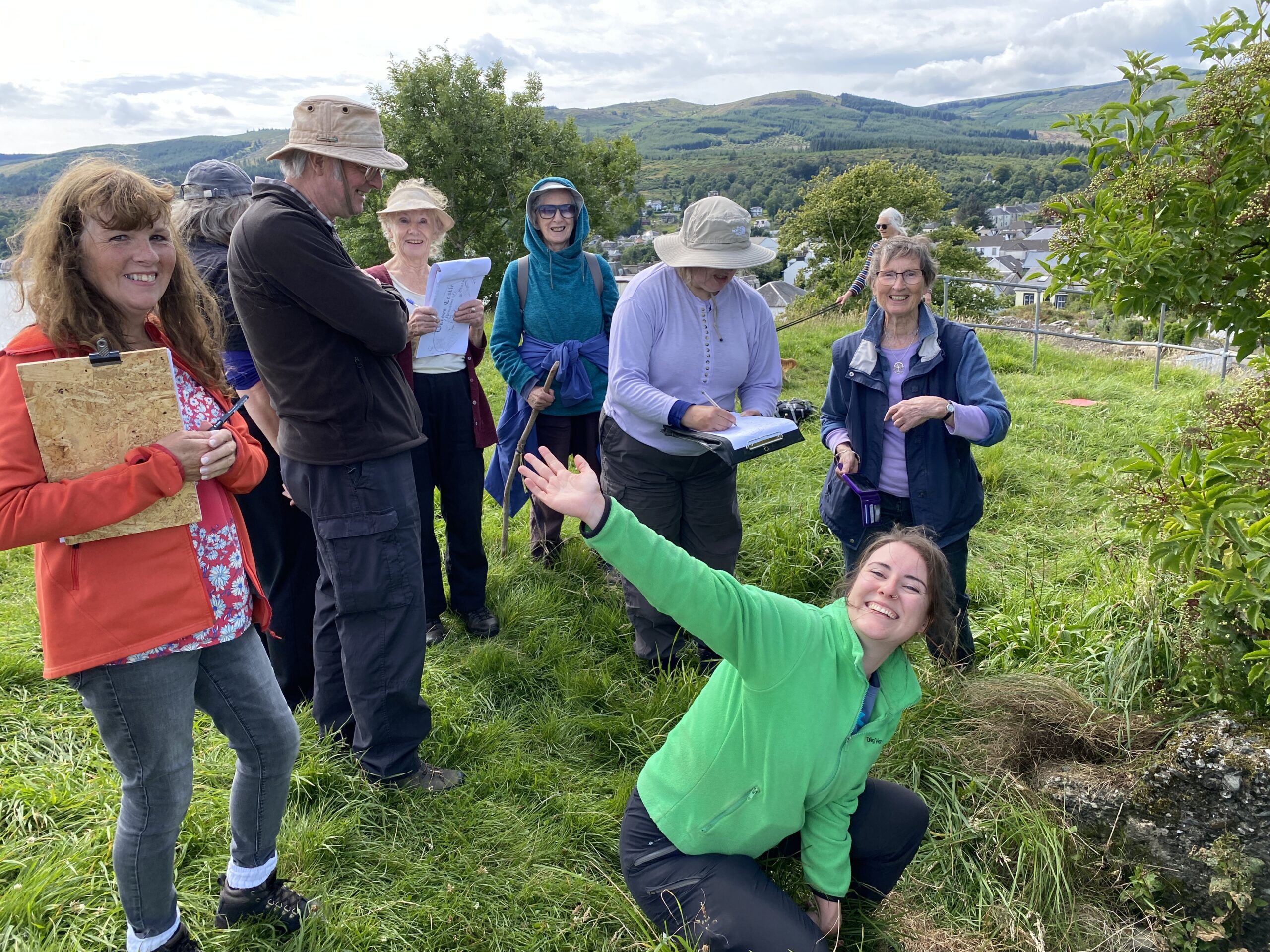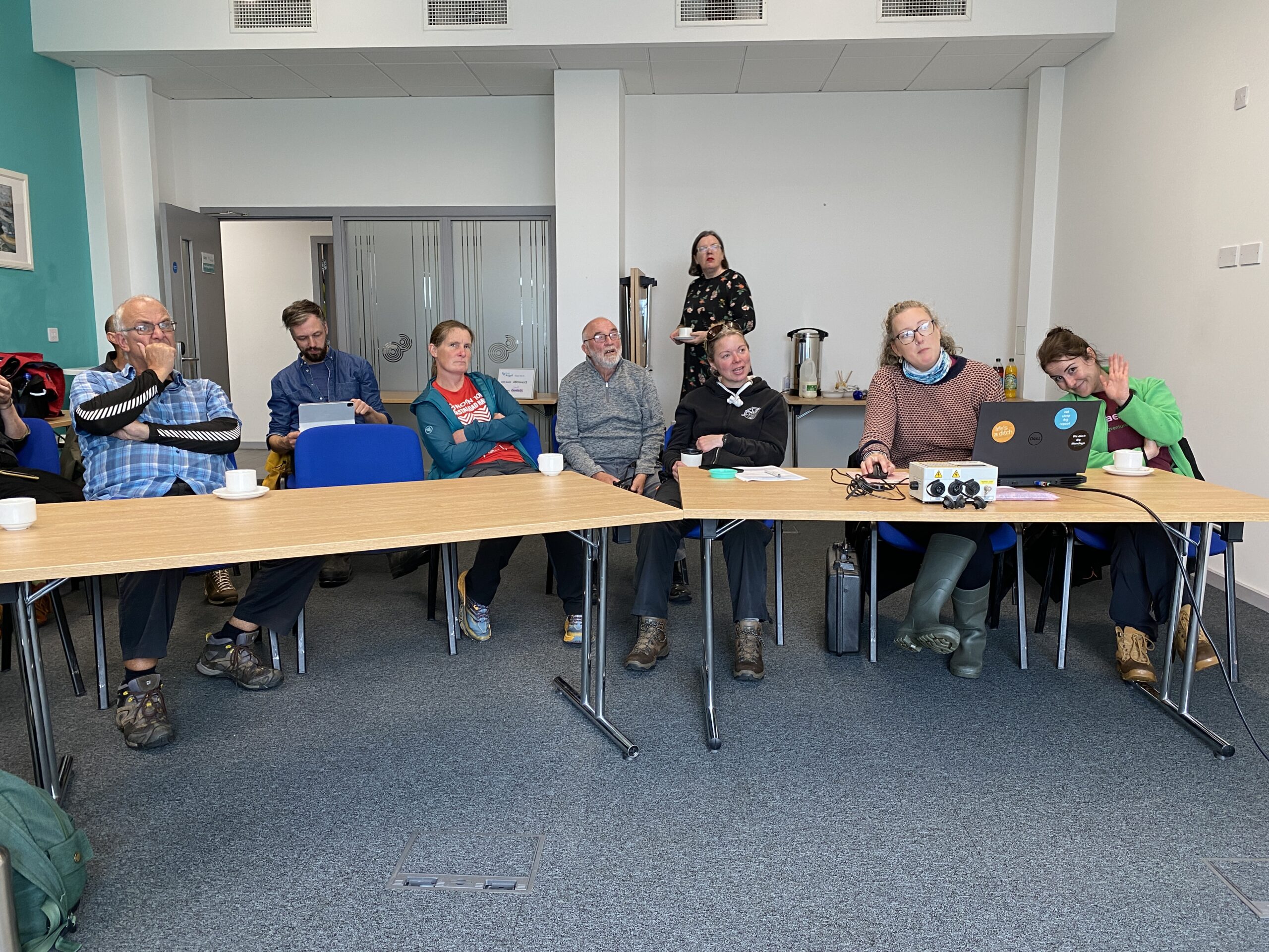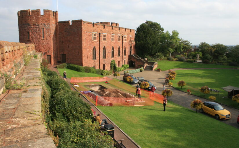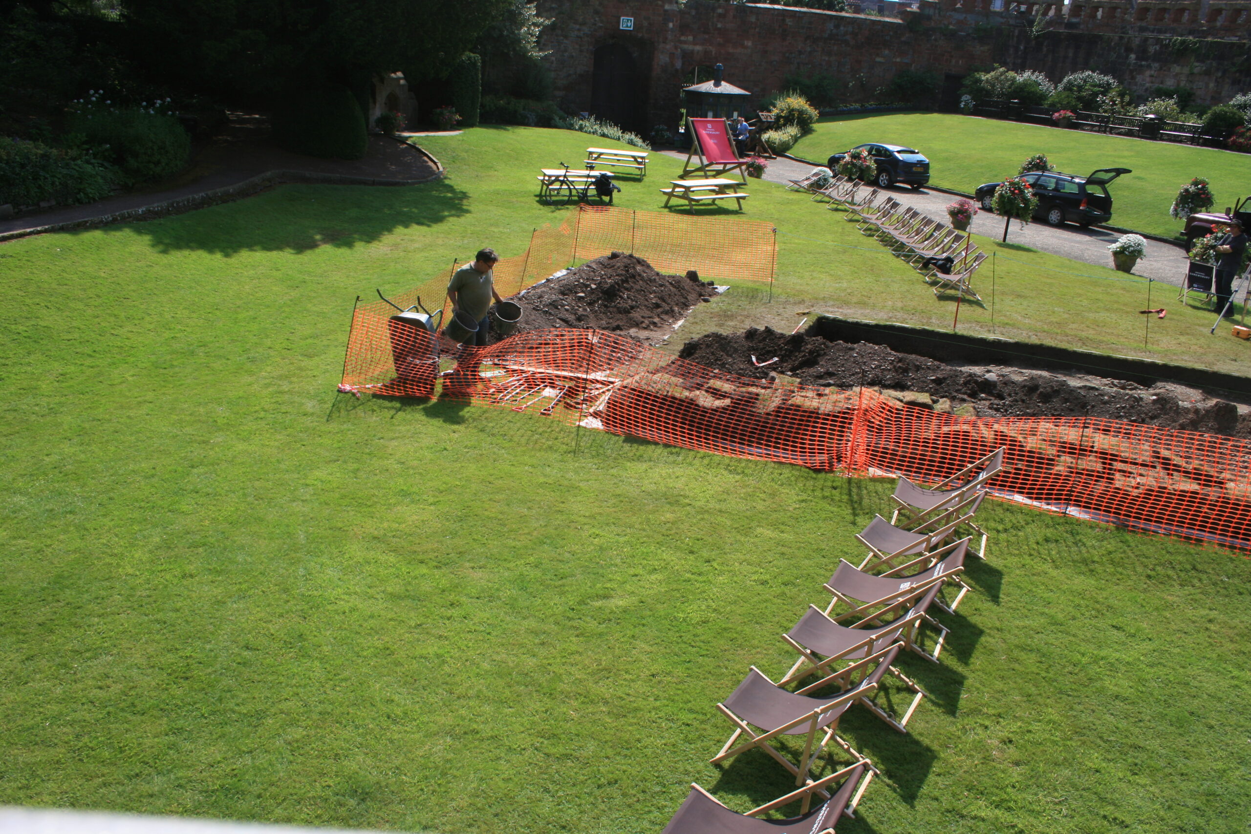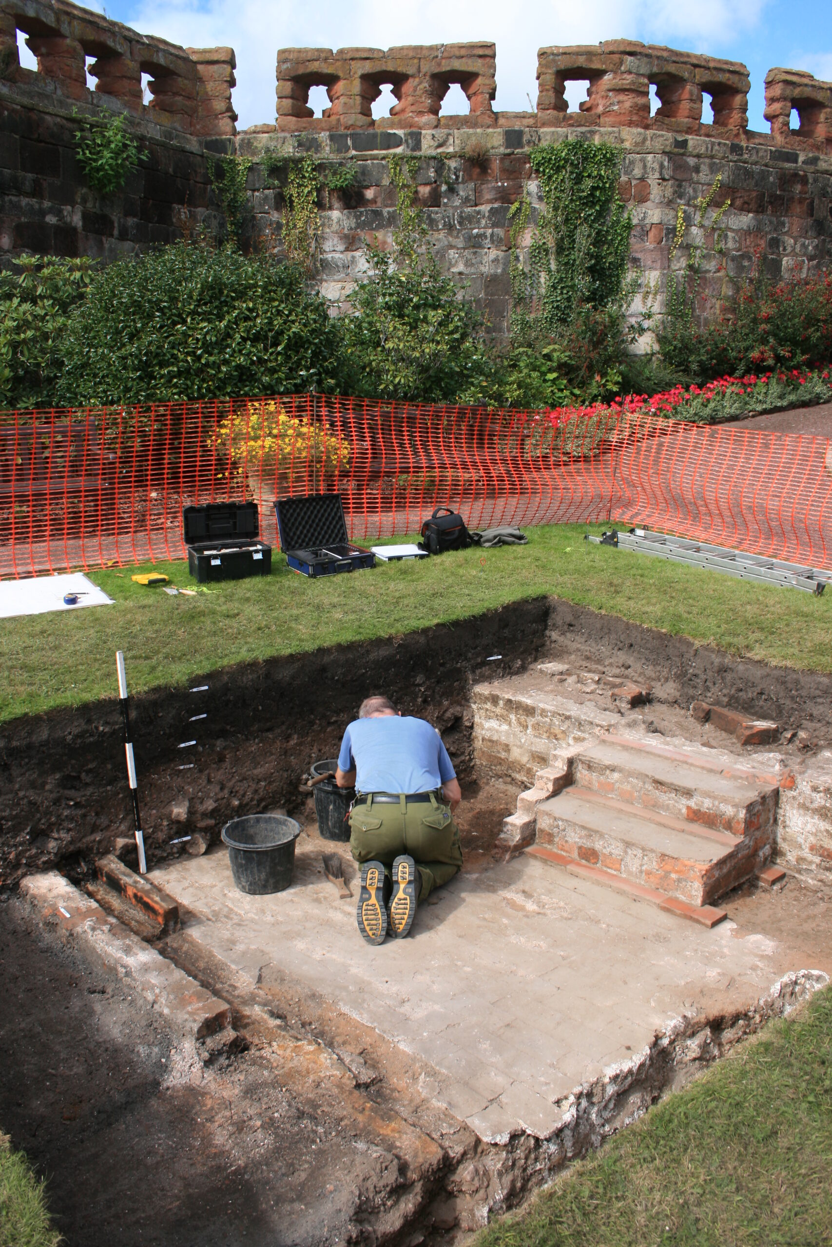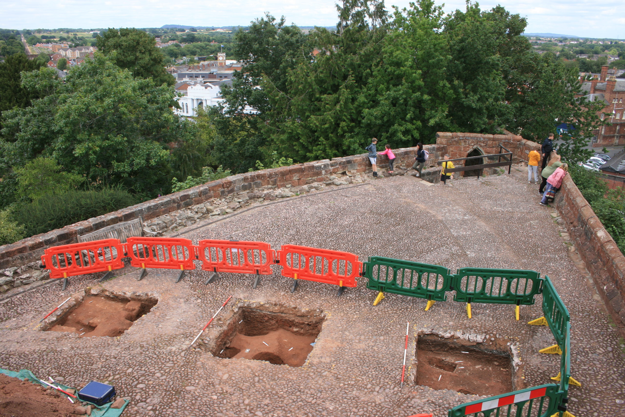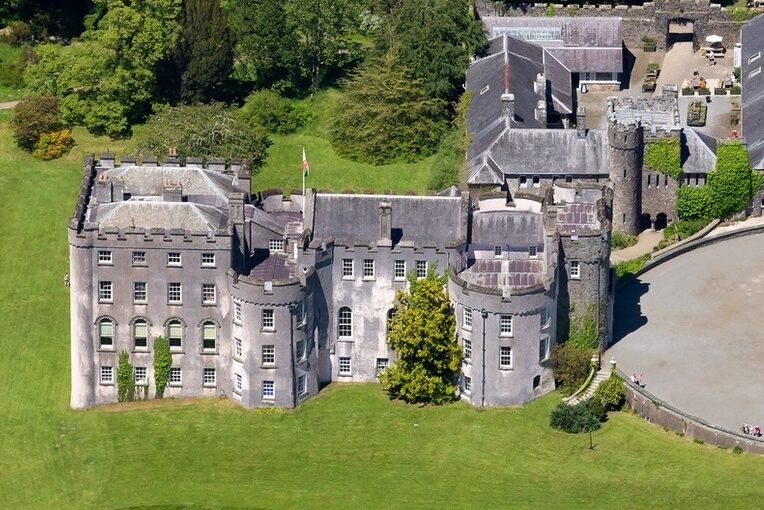
The first week of our 2024 excavations at Lowther (Cumbria) has brought excellent progress. This year we’re focusing our efforts on two trenches. (You can catch up with last year’s excavation on the CST blog).
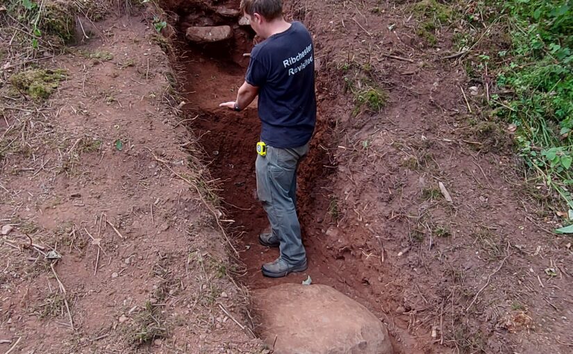
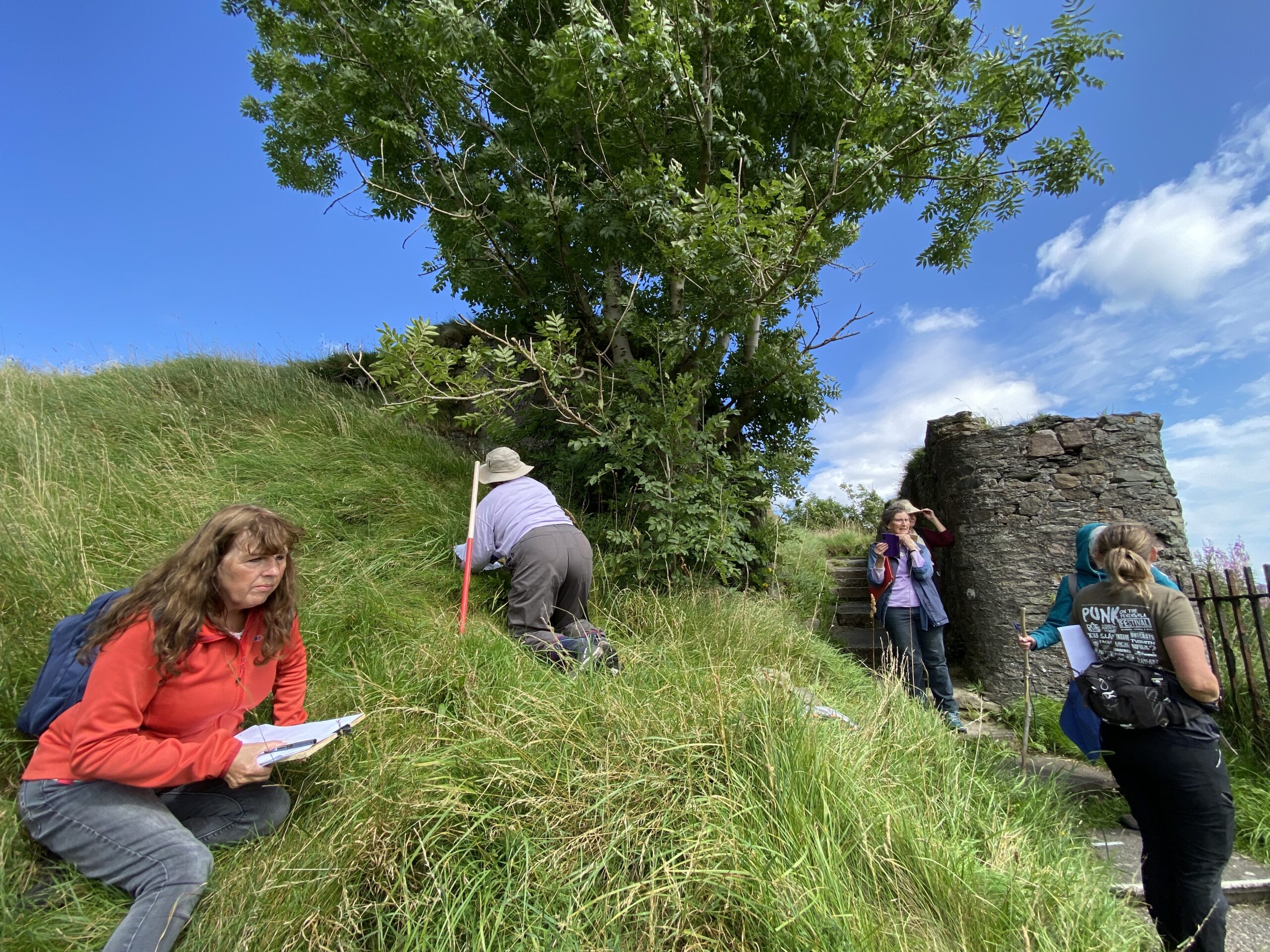
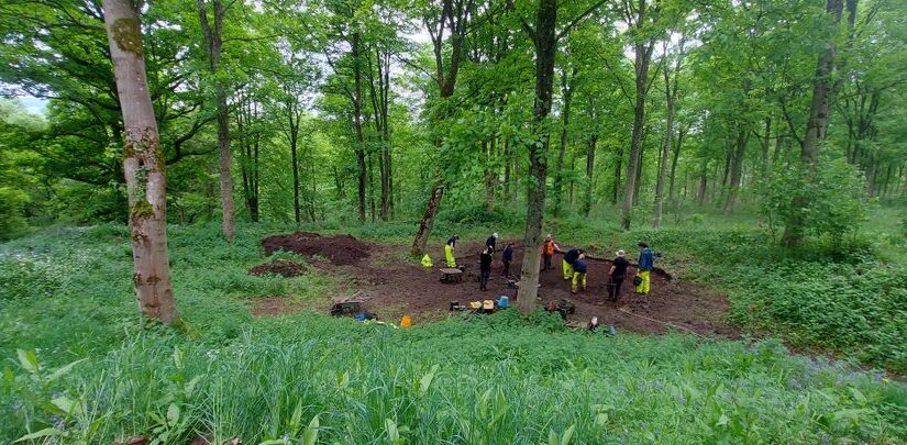
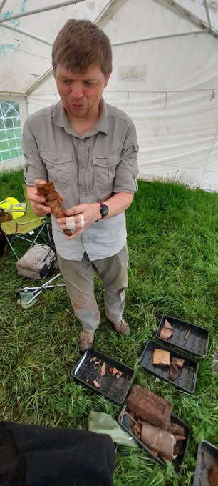
Trench 7 is sited on the mound at the south-eastern corner of the ringwork. This juts out from the ringwork’s circumferential bank, overlooking the settlement to the east over which the castle presided. Could this mound have held a watchtower or any other structure? Trench 7, across the top of the mound, has so far revealed a stony context, which may be the surface of the ringwork’s built-up bank. A roundish, stone-free context within the trench might be evidence of a feature but might otherwise indicate where a tree has grown in the bank and been removed. There is no clear evidence so far of a structure, but the trench has yielded an intriguing find: horse bones, in the form of an articulated fetlock (ankle) joint. Because the joint is articulated, this means that the horse’s entire fetlock was deposited on the mound (i.e. skin, flesh and bone). Further examination of the bones, potentially including carbon dating, may reveal more.
Subscribe to our quarterly newsletter
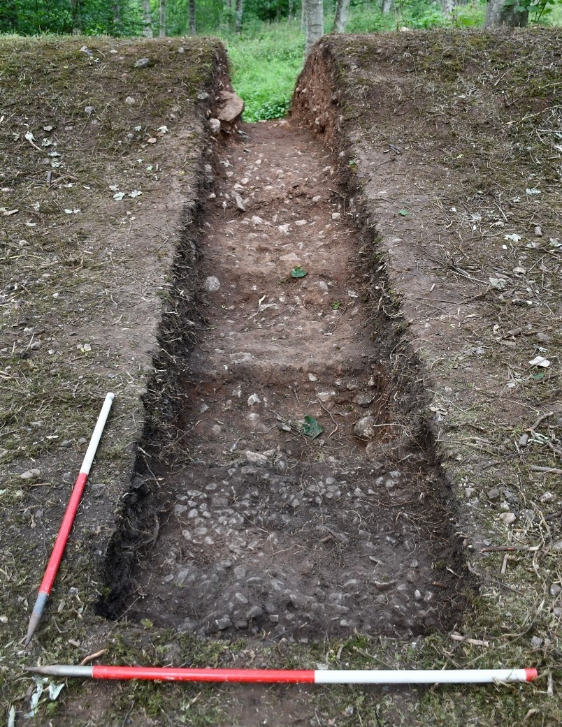
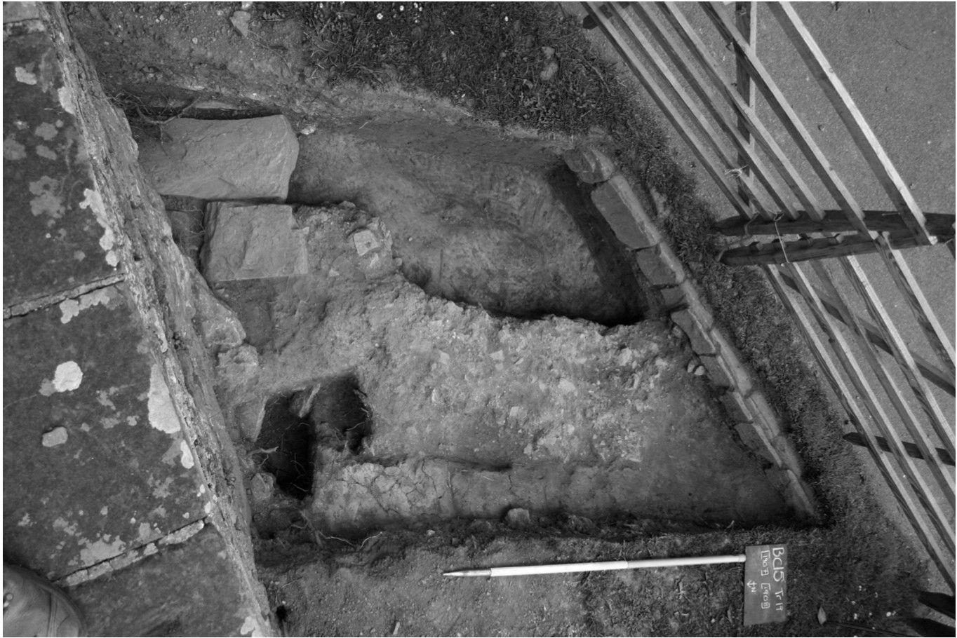
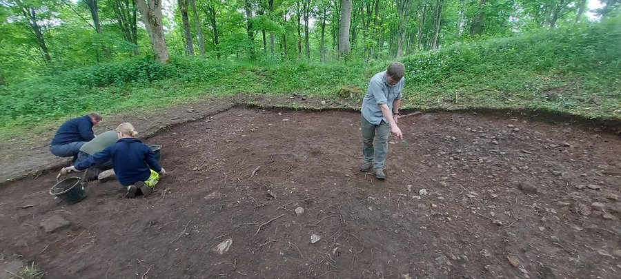
Meanwhile, Trench 6 has been opened over the north-eastern quarter of the ringwork castle interior. The trench also stretches eastward through the original entranceway to the castle, which is cut into the eastern bank. The goal here is to reveal much more of the original medieval cobbled floor surface discovered last year, looking for evidence of any structures. If we can find postholes around the entranceway, this might indicate a timber gatehouse (at Castle Tower, Penmaen in Glamorgan, excavations of a similar ringwork revealed evidence of a six-posted timber gatehouse). The castle’s interior may have also have held simple timber buildings, providing shelter for the castle’s guardian and their household.
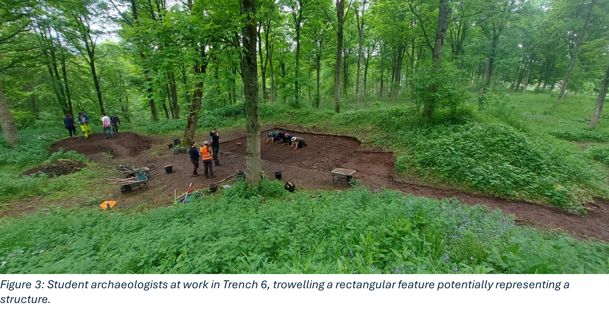
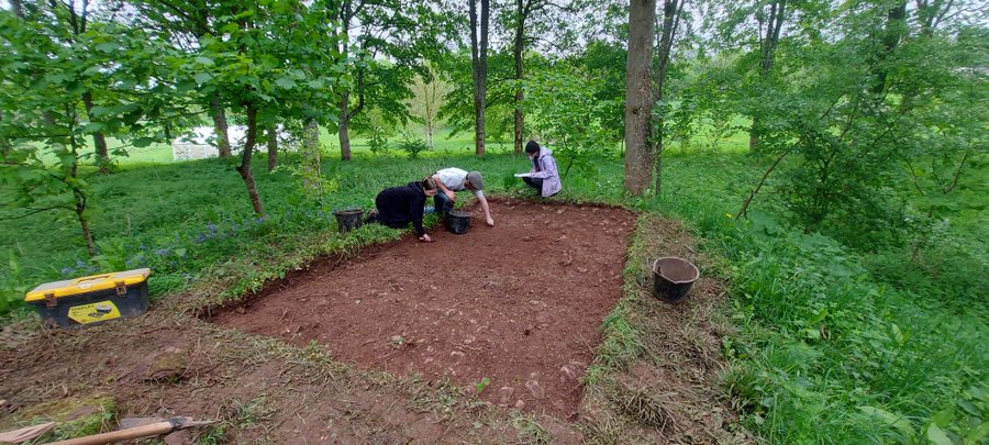
Tantalizingly, by Day 5 of our dig, Trench 6 was beginning to yield potential evidence of a structure. A dark, rectangular feature is visible within the medieval cobbled surface of the castle interior. We don’t know yet whether it overlays the cobbled surface or is cut into it and, either way, whether it dates to the castle’s earliest phases. It may be that further excavations will reveal postholes, or it may be that that the structure was built simply across wooden beams, effectively floating on the cobbled surface. Hopefully, Week Two will reveal more!
Subscribe to our quarterly newsletter
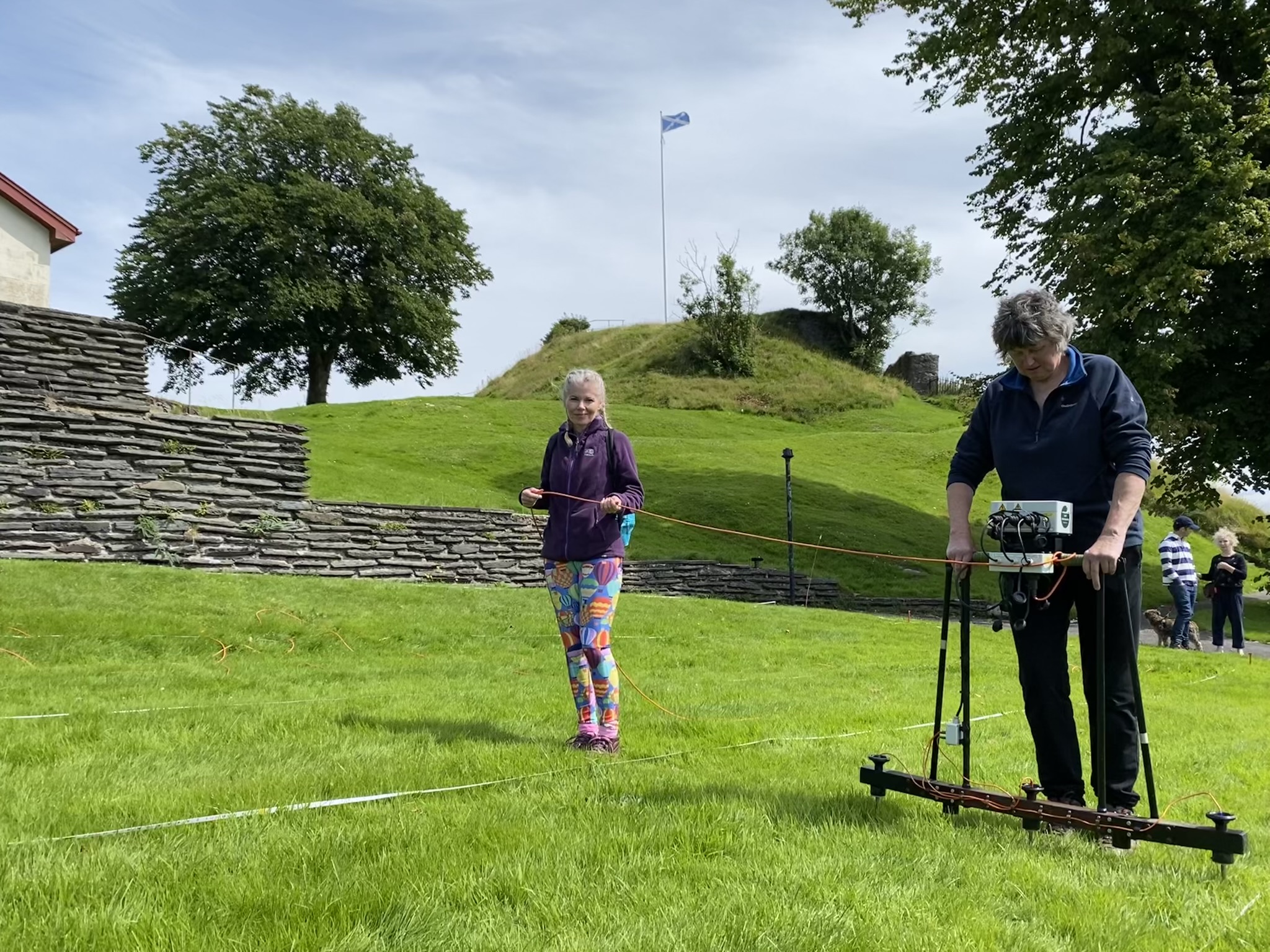
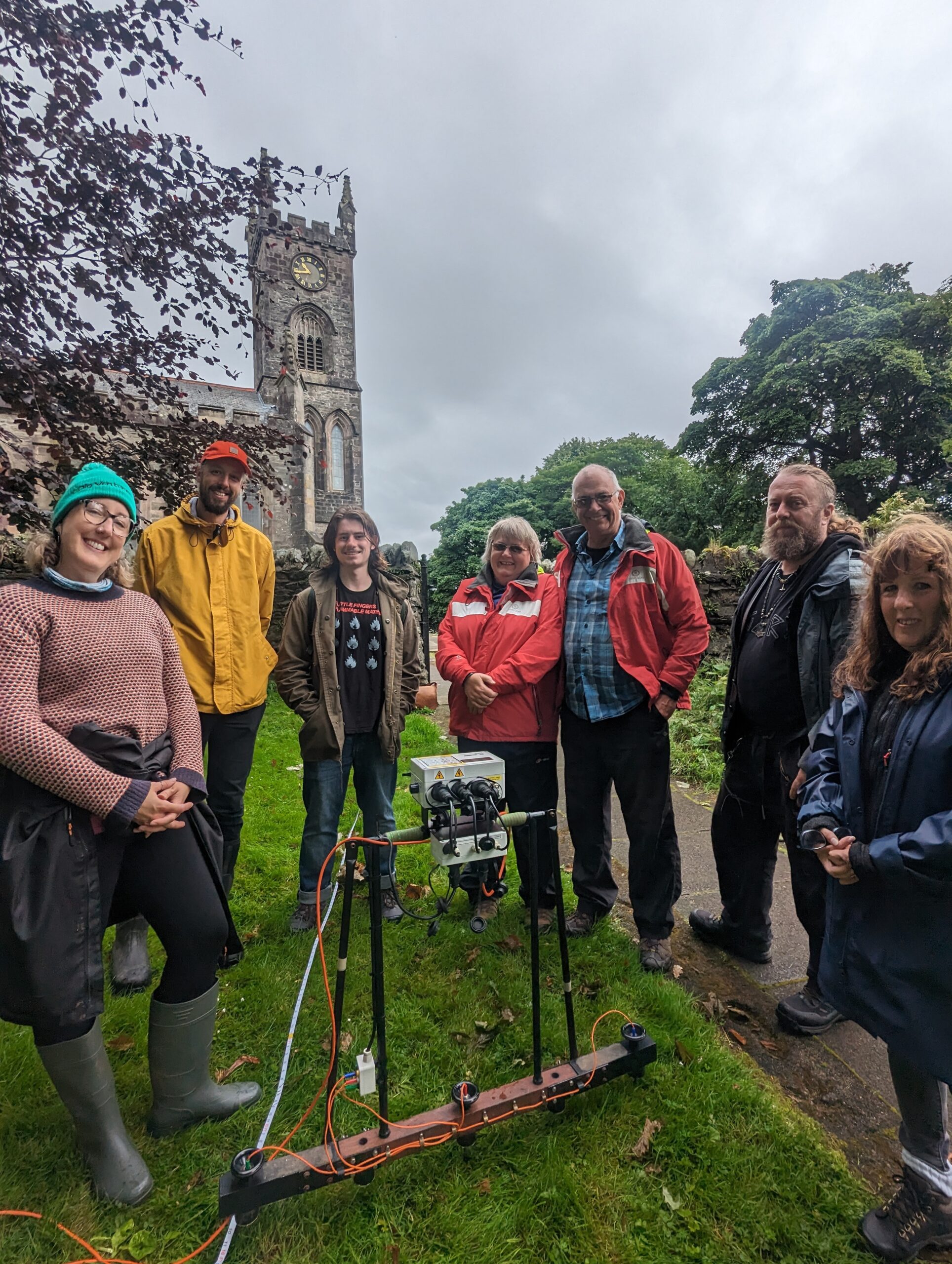
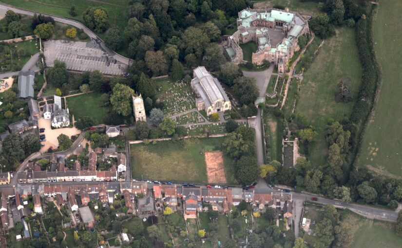
Meanwhile, to the north of the ringwork castle, in a partner investigation supported by the Cumberland and Westmorland Antiquarian and Archaeological Society, we are conducting a geophysical survey. Last year, in Phase One investigations supported by the CST, we surveyed a large area to the east of the ringwork castle, taking in what we think is the original Lowther village, built concurrently with the castle and linked to it by a trackway. Extending our geophysical survey allows us to investigate Lowther as a broader site, extending across the promontory overlooking the River Lowther. What was on this promontory before the ringwork castle was built? How far did the village extend across the promontory? This year, then, we’re surveying at the northern end of the promontory, in the area east of St Michael’s church.

The geophysical survey has run concurrently with excavations across Week One and will hopefully provide evidence of activity at Lowther across the centuries.
For regular updates on our investigation, follow us on Twitter/X at #LowtherMedievalCastle. You can learn more of Lowther’s history and catch up with last year’s investigation on BBC2’s Digging for Britain, Series 11 Episode 1, available on BBC iPlayer.